San Diego Hikes: Glider Point Trail at Black Mountain
Fun Diego Family lives at the foot of Black Mountain. We hike this area more than any other. However, until Miner’s Ridge Loop trail was temporarily closed in 2017 we had never done Glider Point Trail. We have found that Glider Point Trail can be either a nice, short scenic walk or combined to create a longer walk to the top of Black Mountain. This post focuses just on the Glider Point Trail section of Black Mountain.
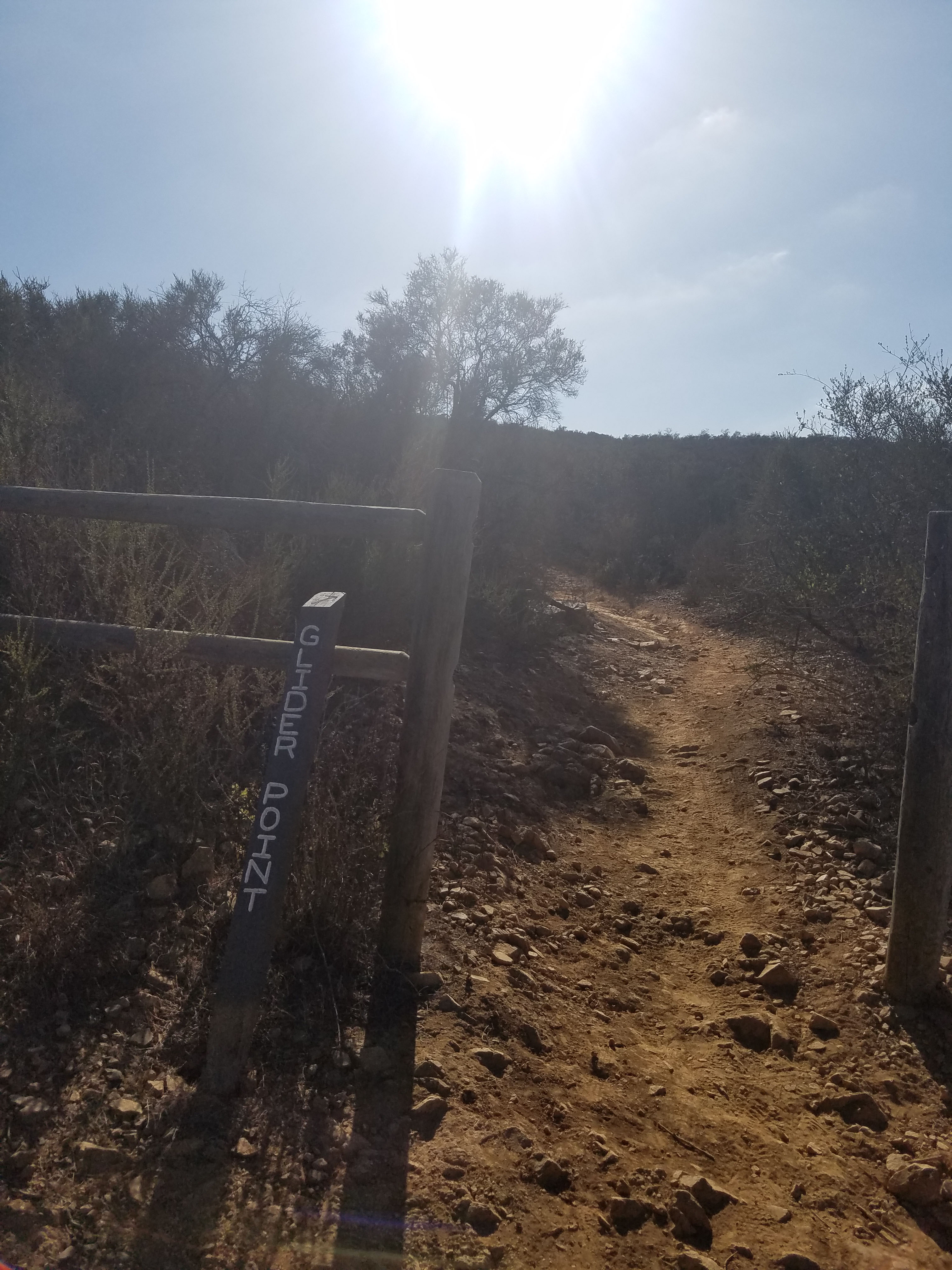
- Starting Point: Glider Point Parking lot Carmel Valley Rd, east from Black Mountain Rd (note Google incorrectly lists it as Glider Port Trail)
- Length: 1.5 mile
- Elevation: 400 feet gain and loss
- Type: out-and-back with option to add other trails for a longer hike
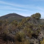
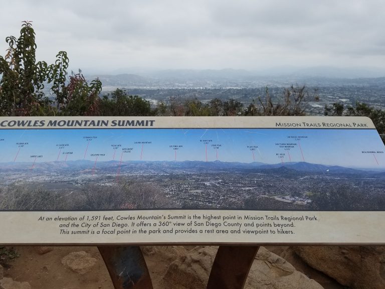
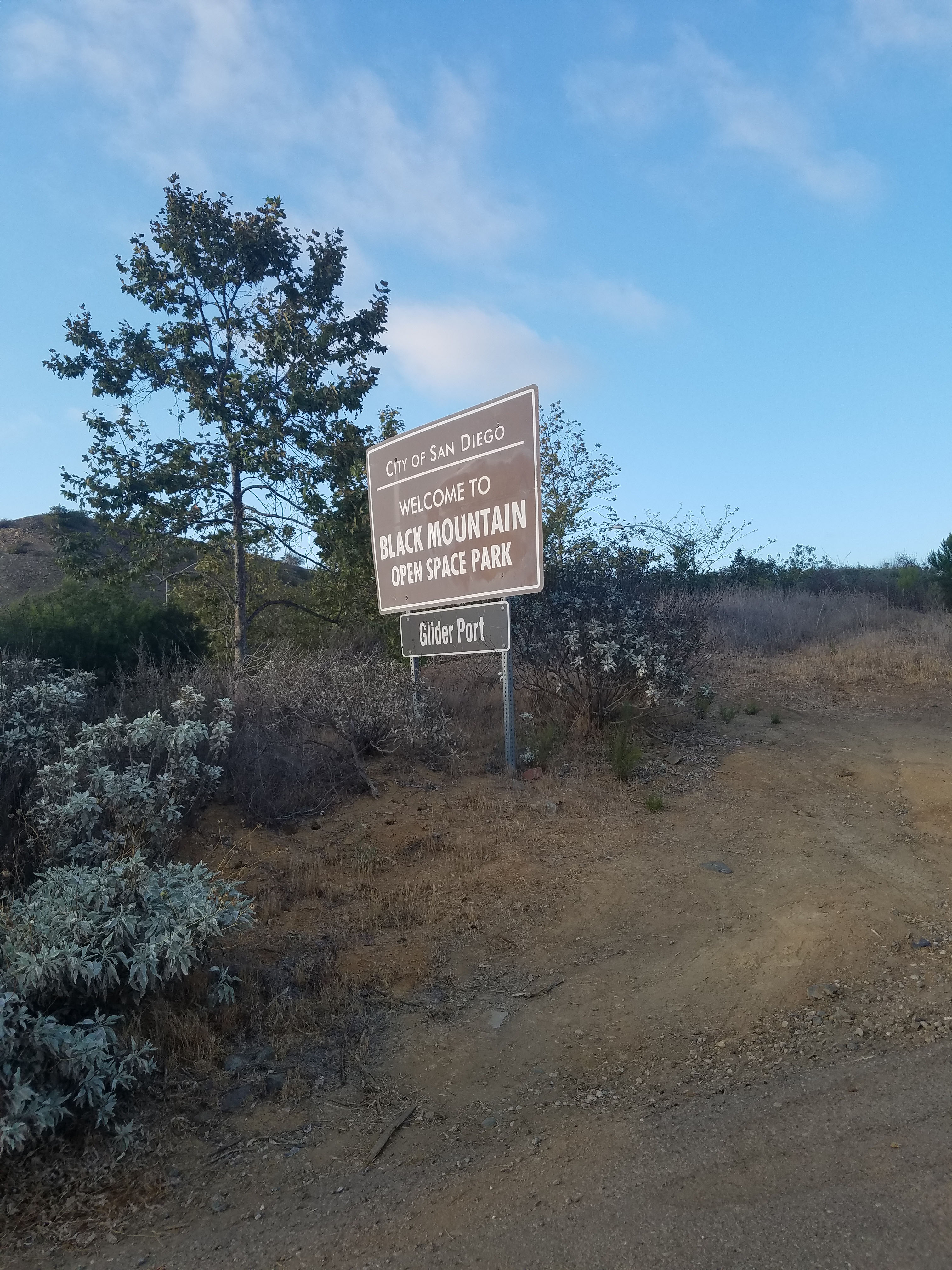
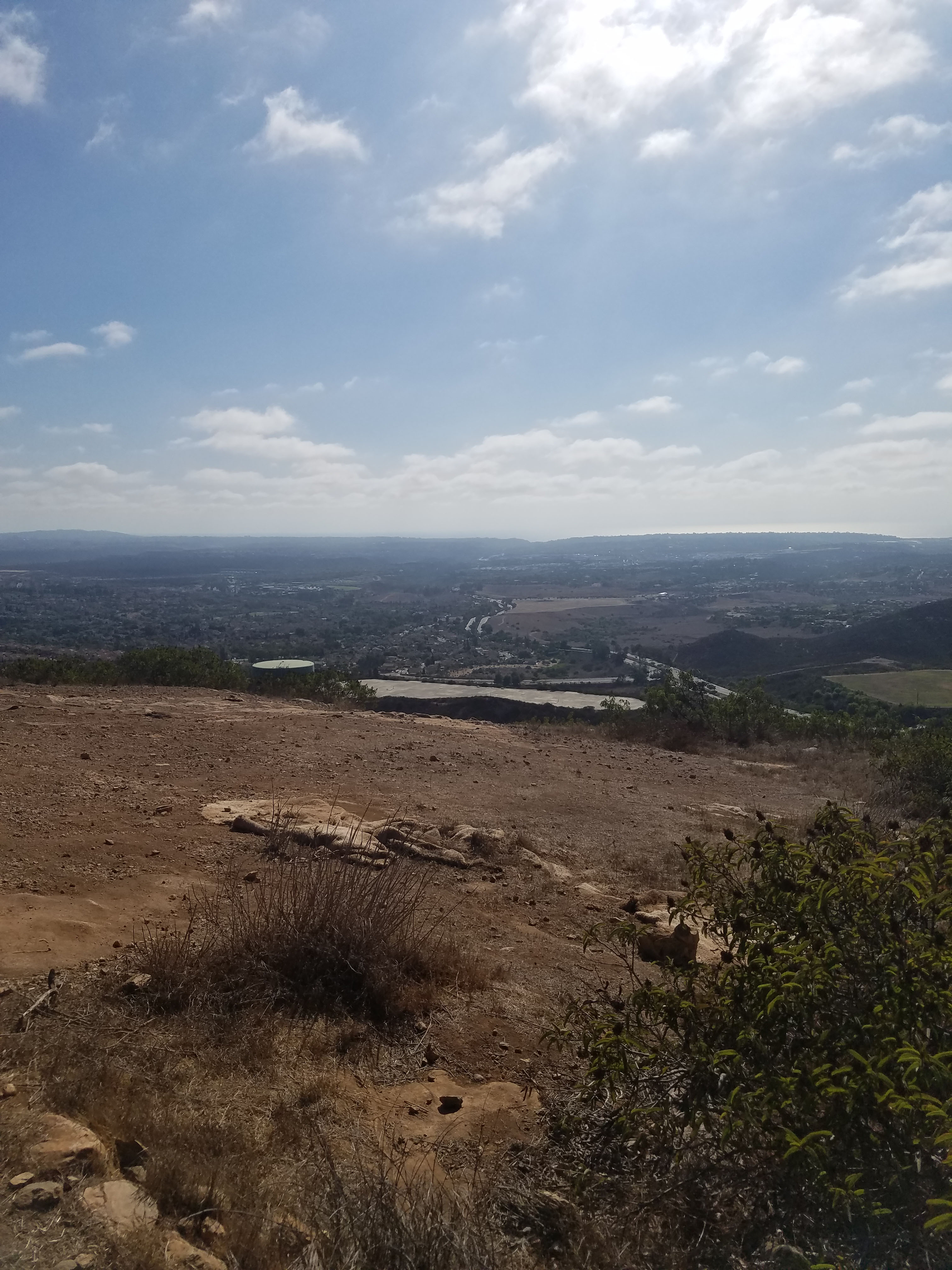
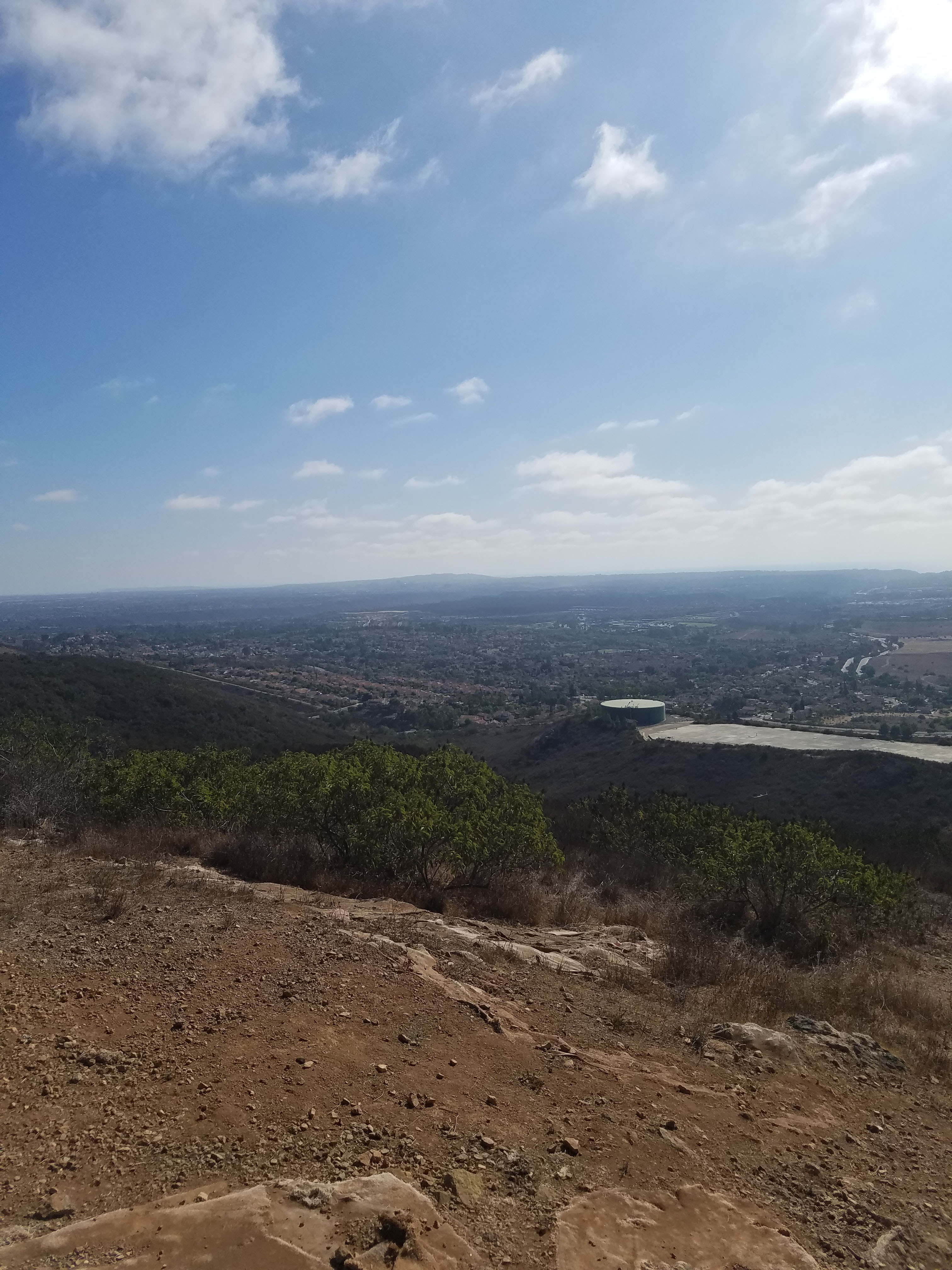
At 1,554 ft Black Mountain is the second highest point in the city of San Diego (Cowles Mountain at 1,593 ft is the highest). Black Mountain Open Space Park is owned by the city of San Diego and operated by its Parks and Recreation department. The park is currently about 2,300 acres but according to a ranger, they recently acquired more space from a developer. This is a fairly new and evolving area that was created as development started to surround the mountain.
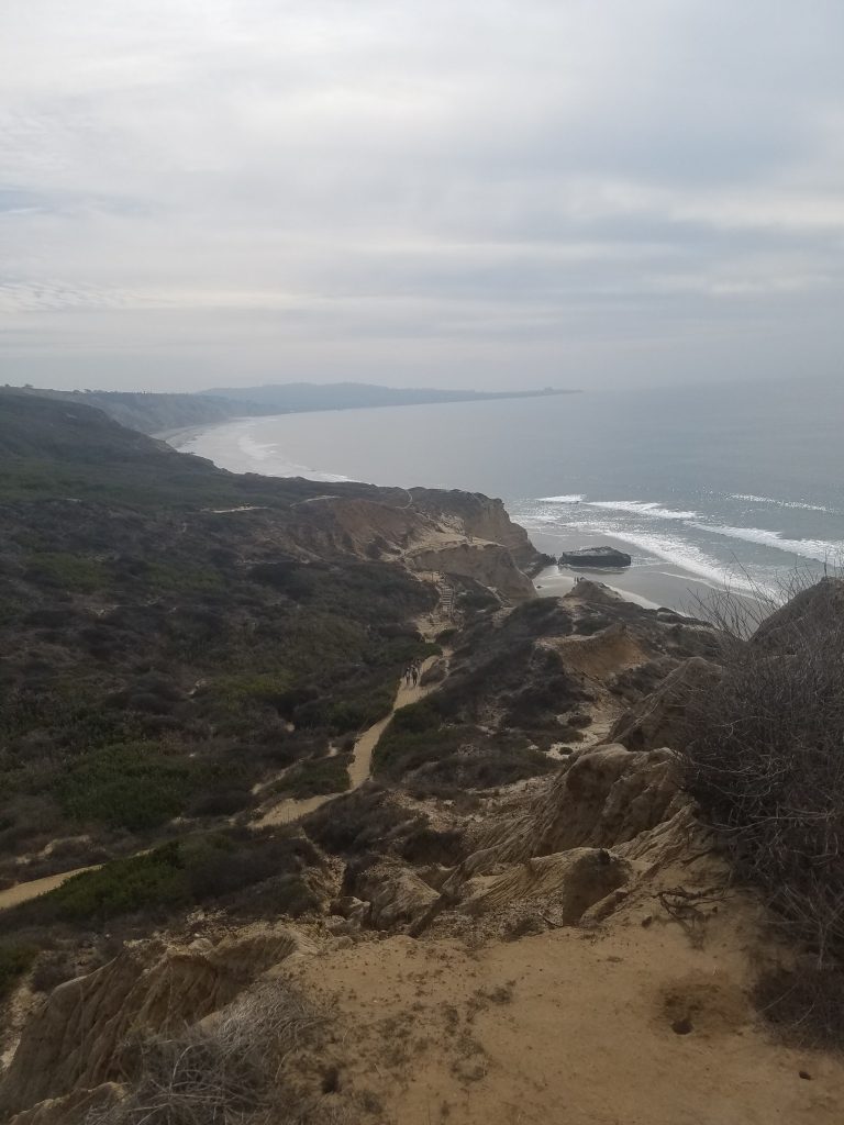
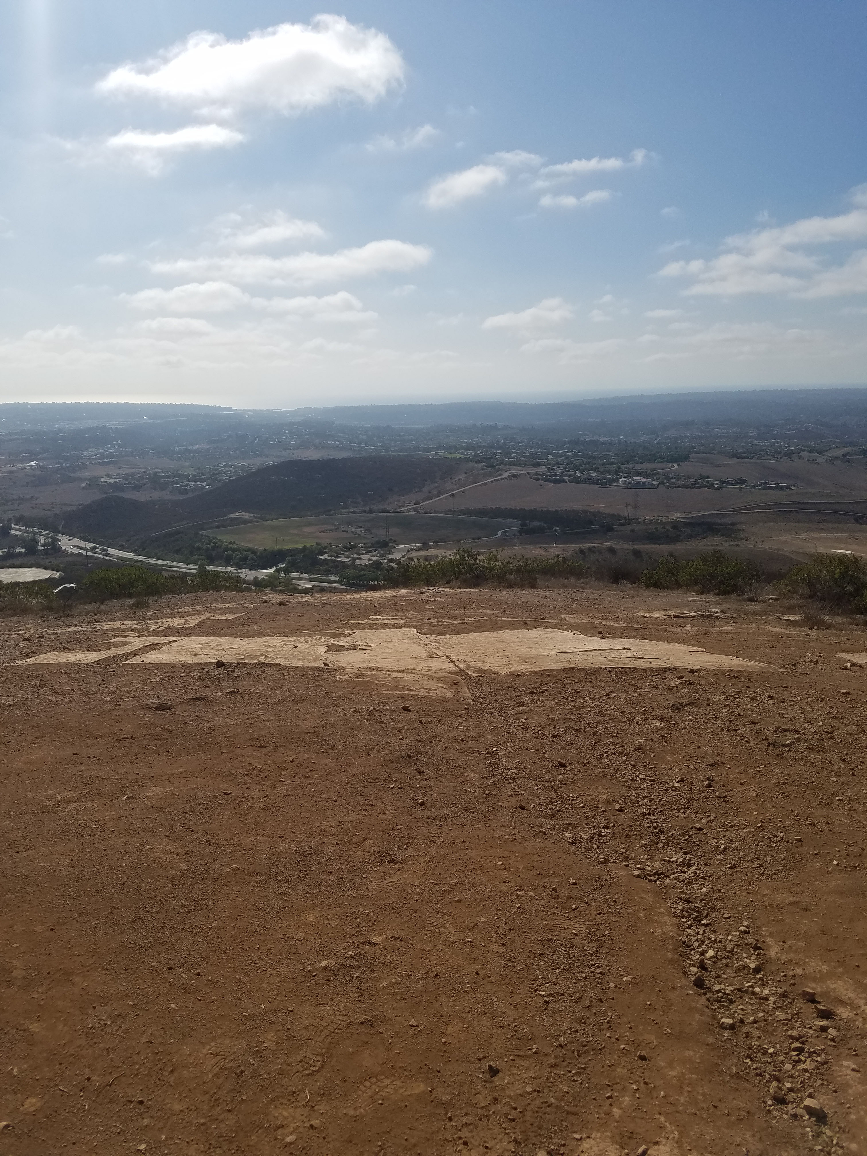
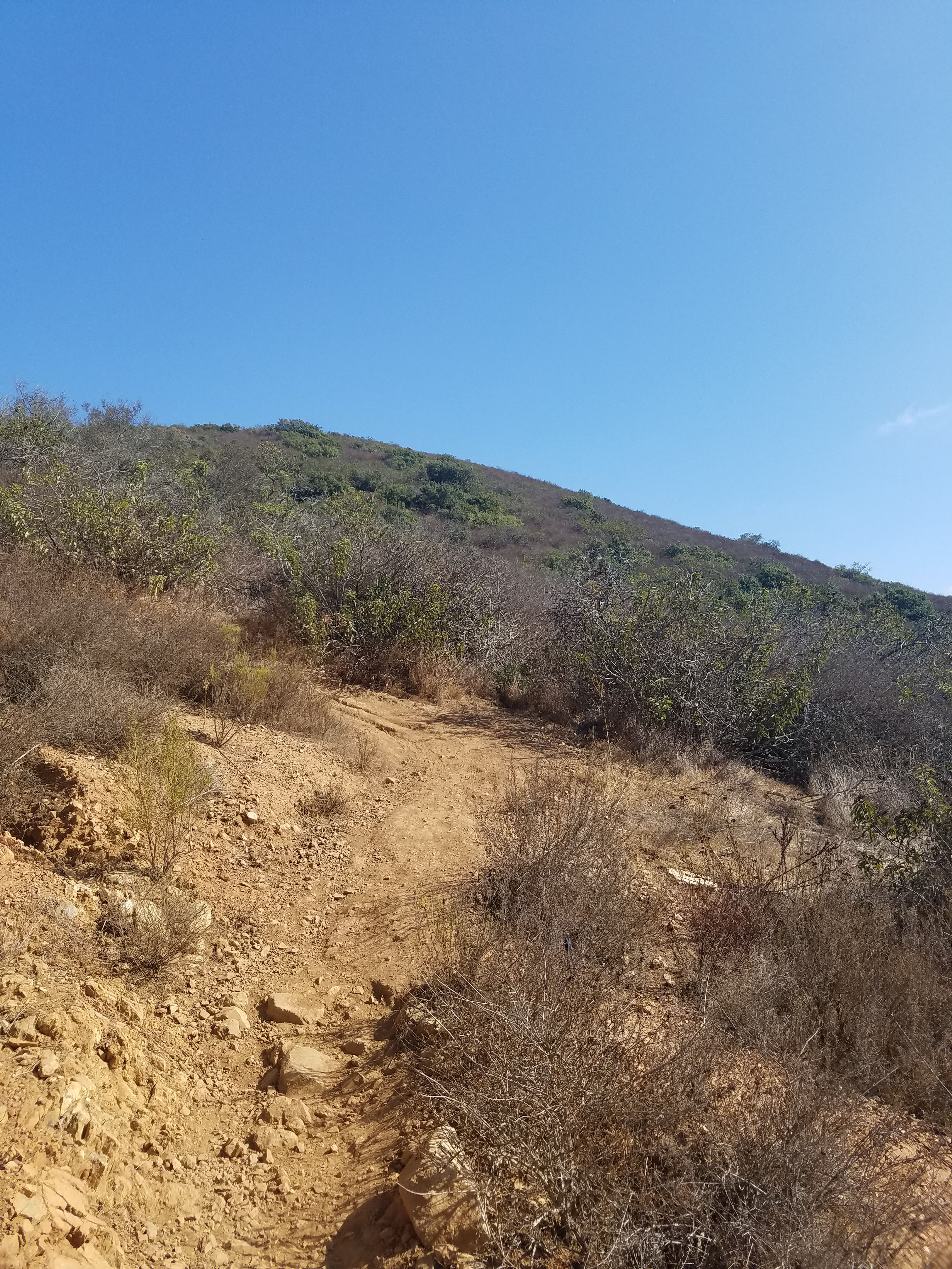
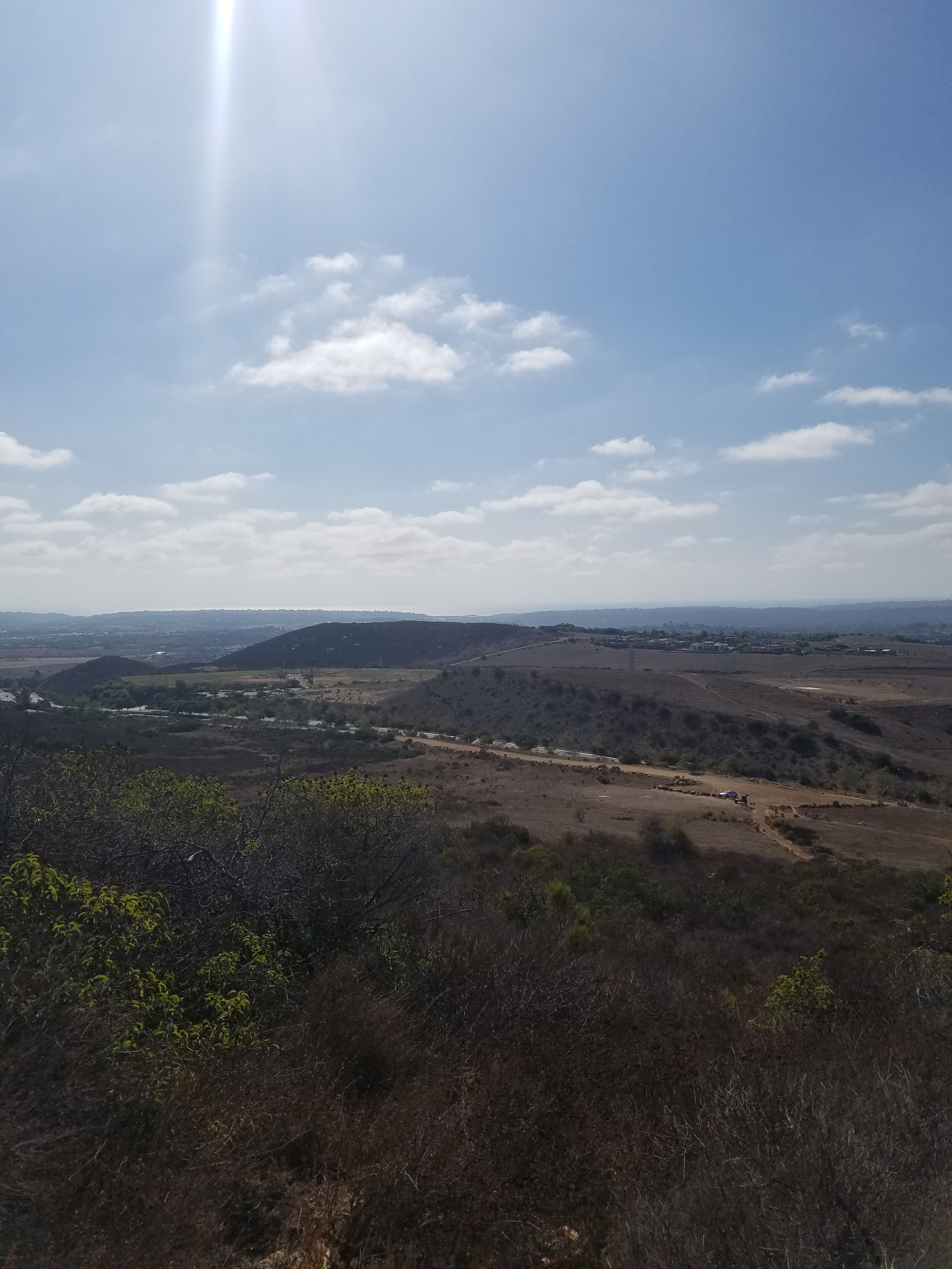
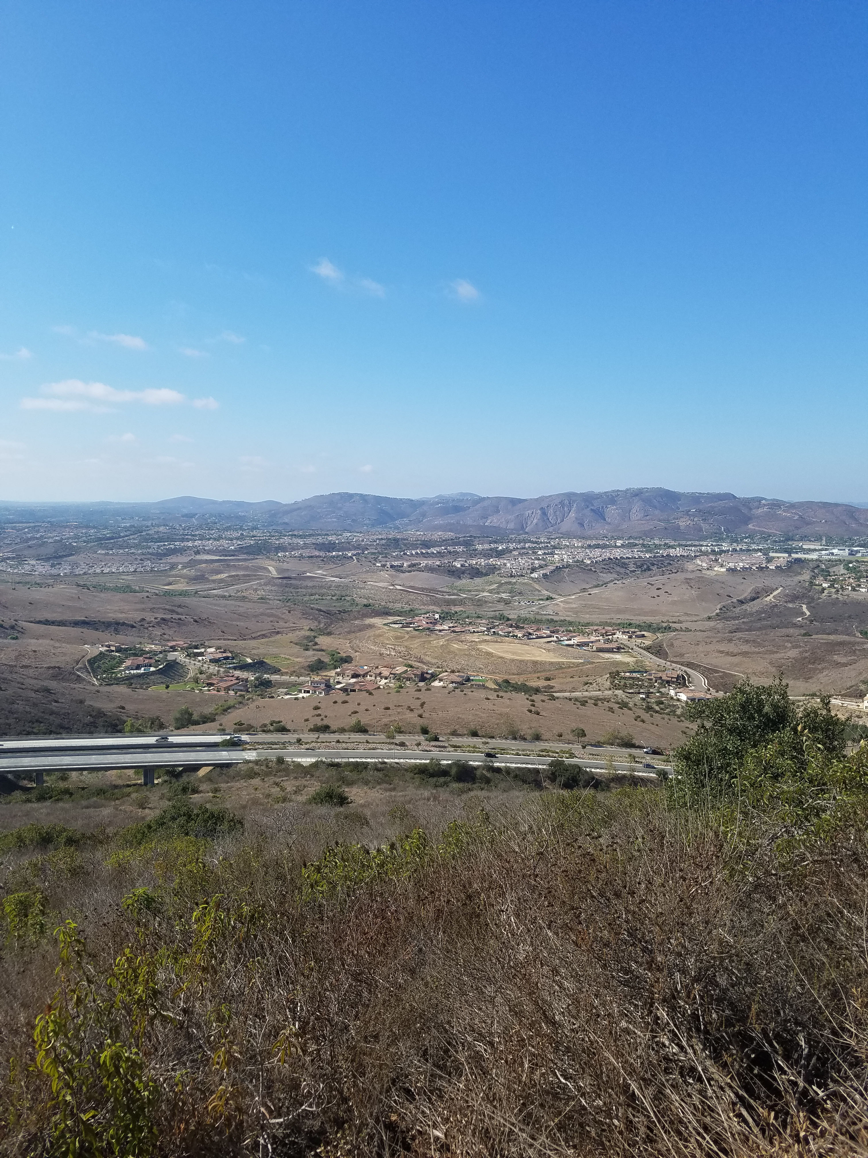
For years, the north side of Black Mountain has been a popular spot for hang gliding and paragliding (according to this article since the 1920s!). Because of the difficult climb up the trail, this area does not see as much activity today. However, this well-maintained trail has its own parking lot and the short, steep hike is a perfect way to get some great views to the west.
Fun Diego Family 360: View from the Glider Launch Point
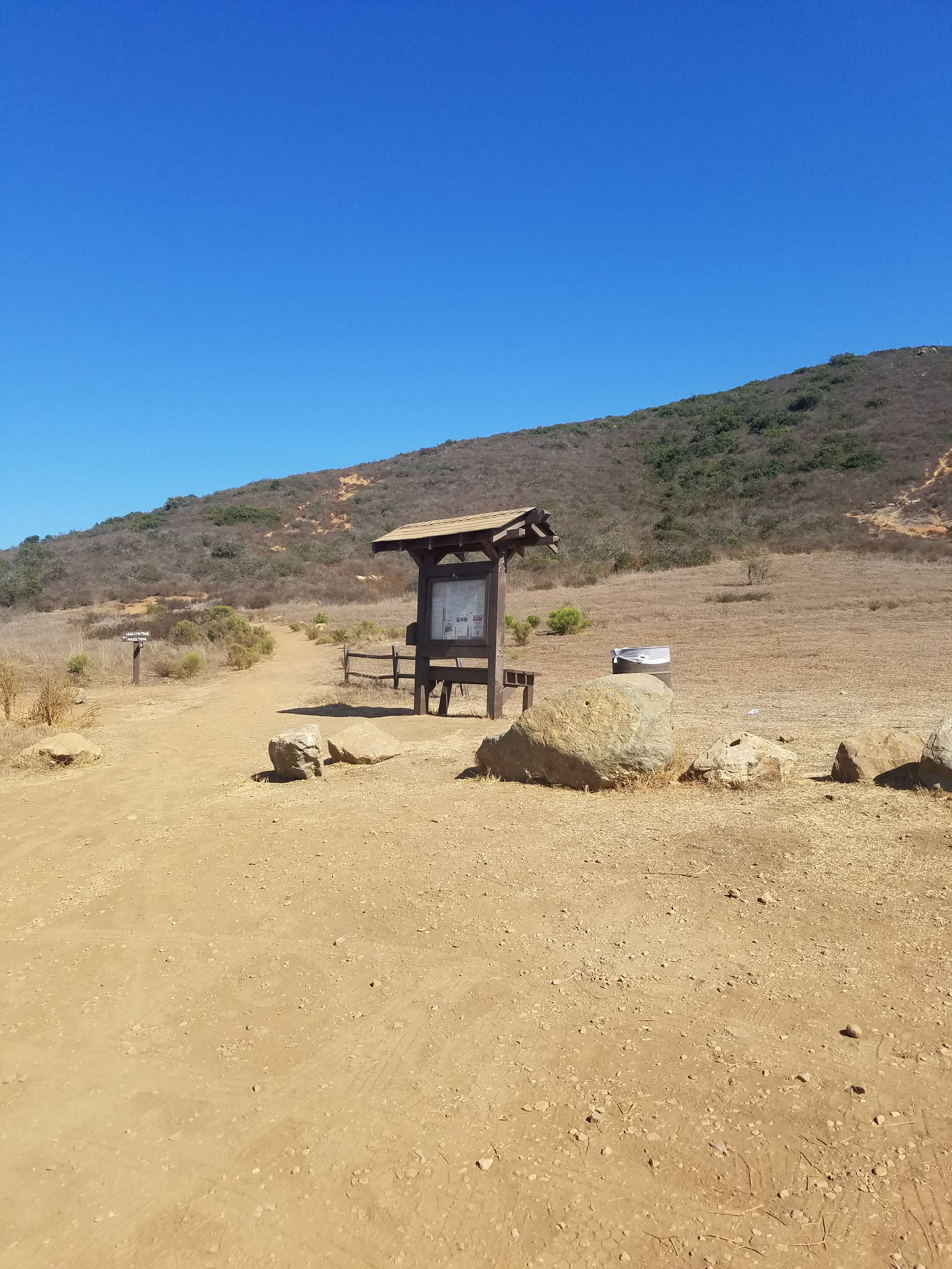
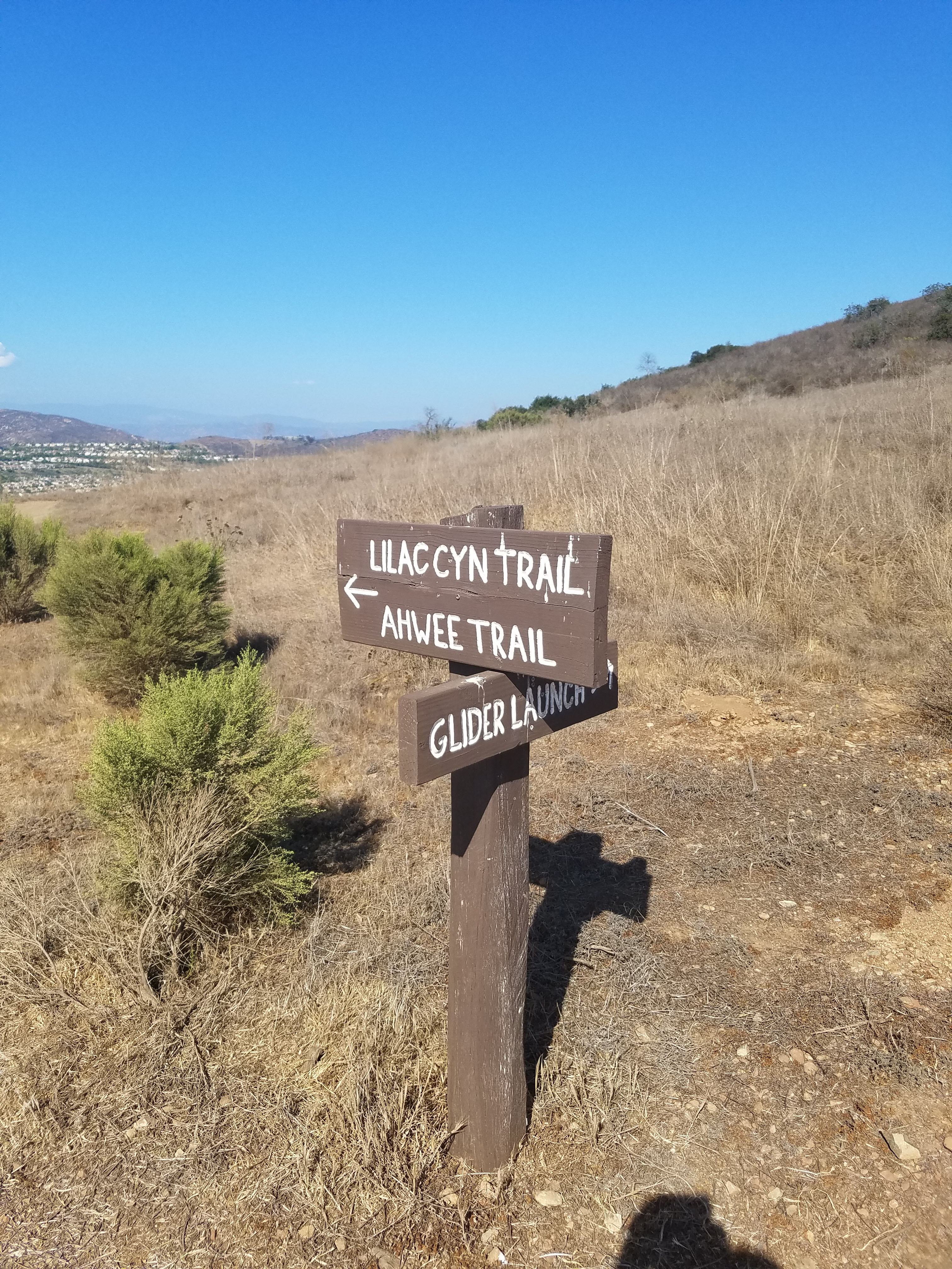
The Glider Point Trail parking lot is down a dirt road turnoff heading east on Carmel Valley Rd. If you are heading west on Carmel Valley Rd you need to make a U-turn at the Black Mountain Rd intersection. The parking lot gives you access to not only Glider Point Trail but also Lilac Canyon Trail and the Ahwee Trail which leads to the 9-mile long Lusardi Loop Trail.
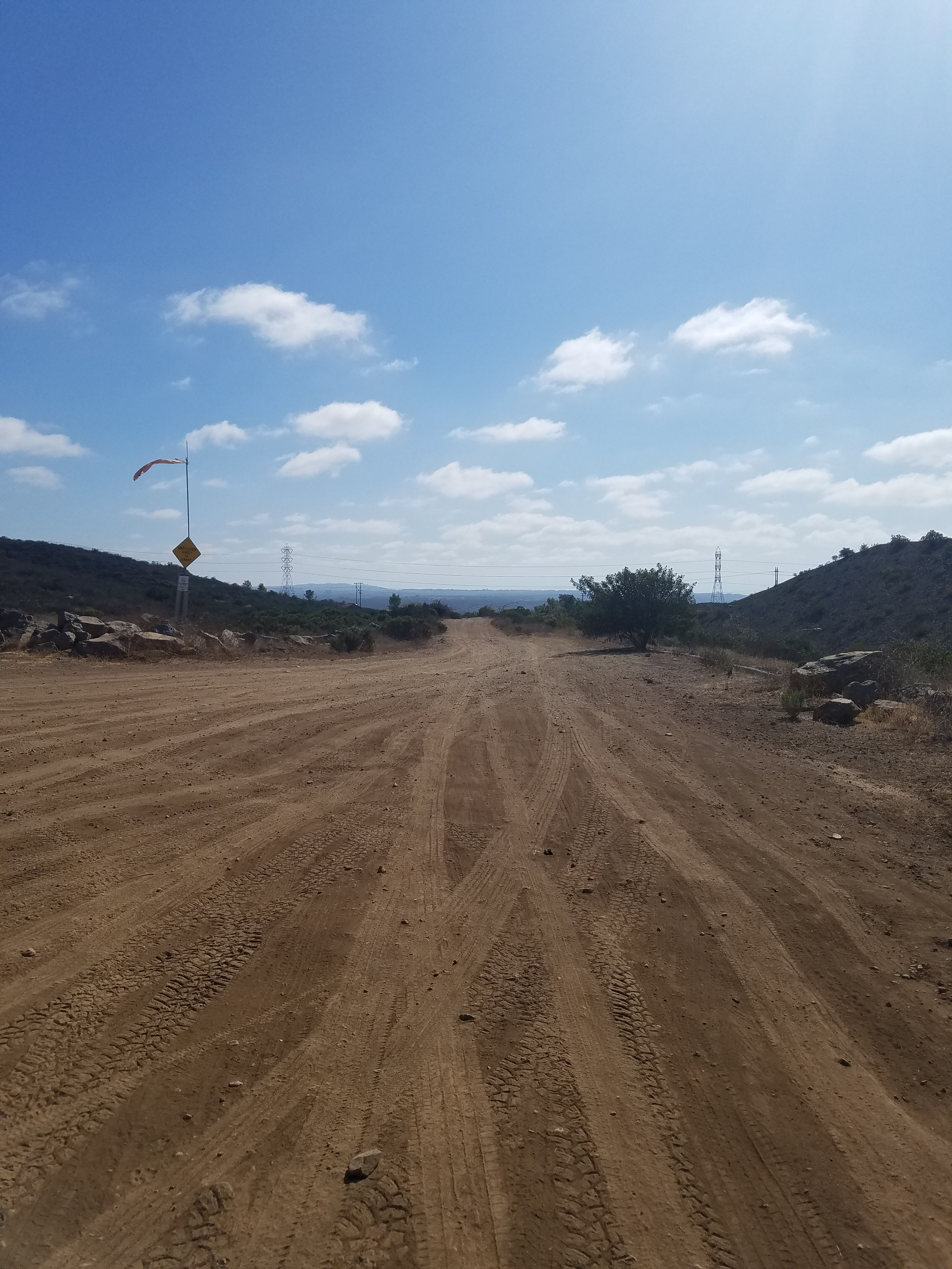
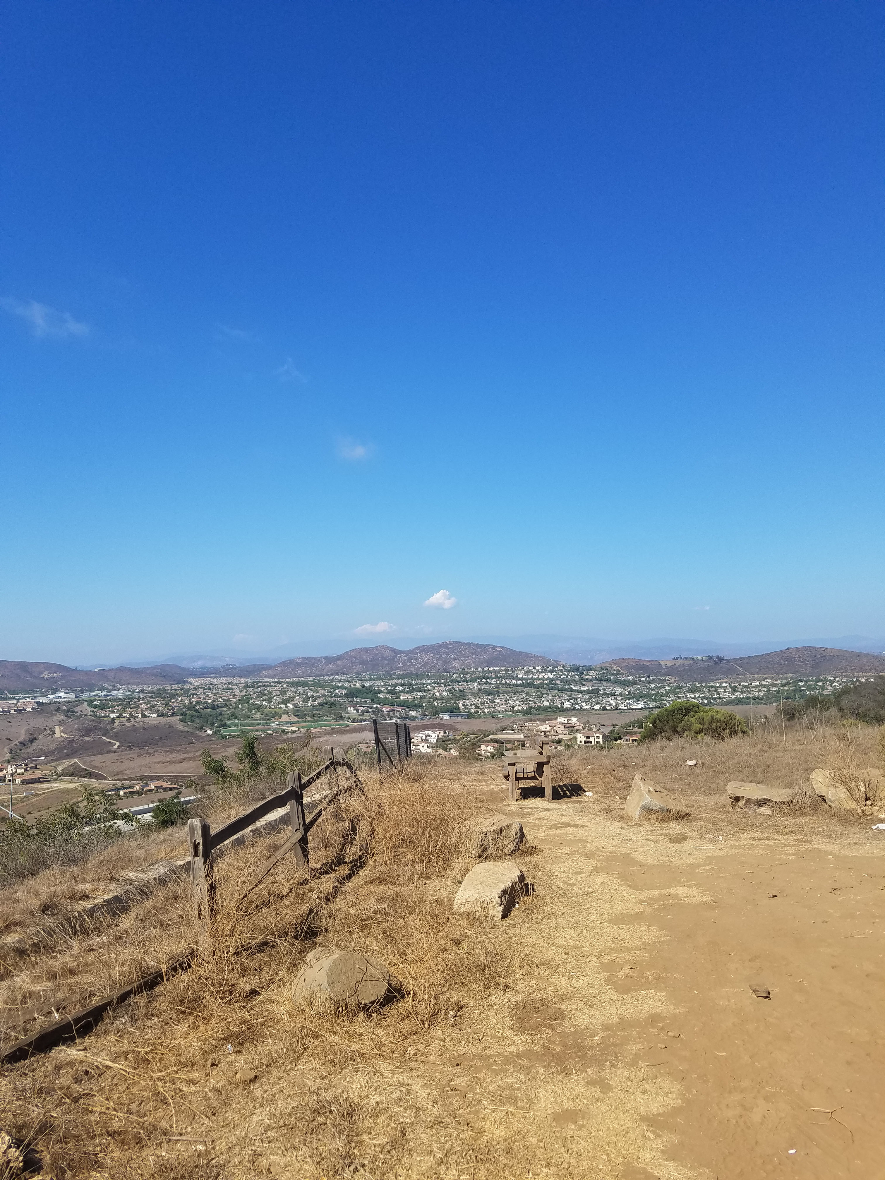
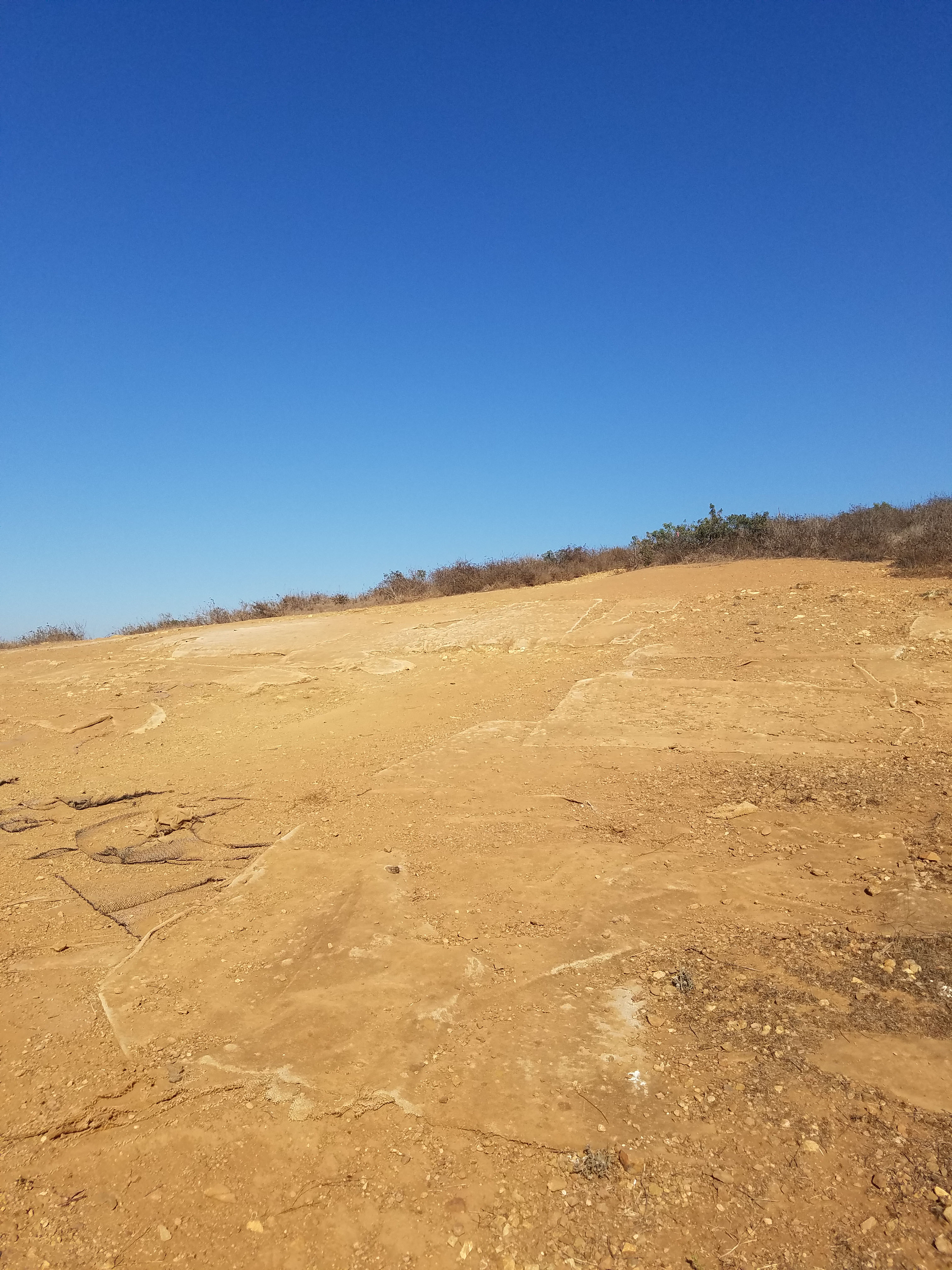
Glider Point Trail heads straight up the mountain to the glider launch area. The launch area is a clearly defined open space area about 400 feet above the parking lot and a half mile into the hike. For a short burst of exercise, you can simply walk up to the gliding area, enjoy the view and walk back.
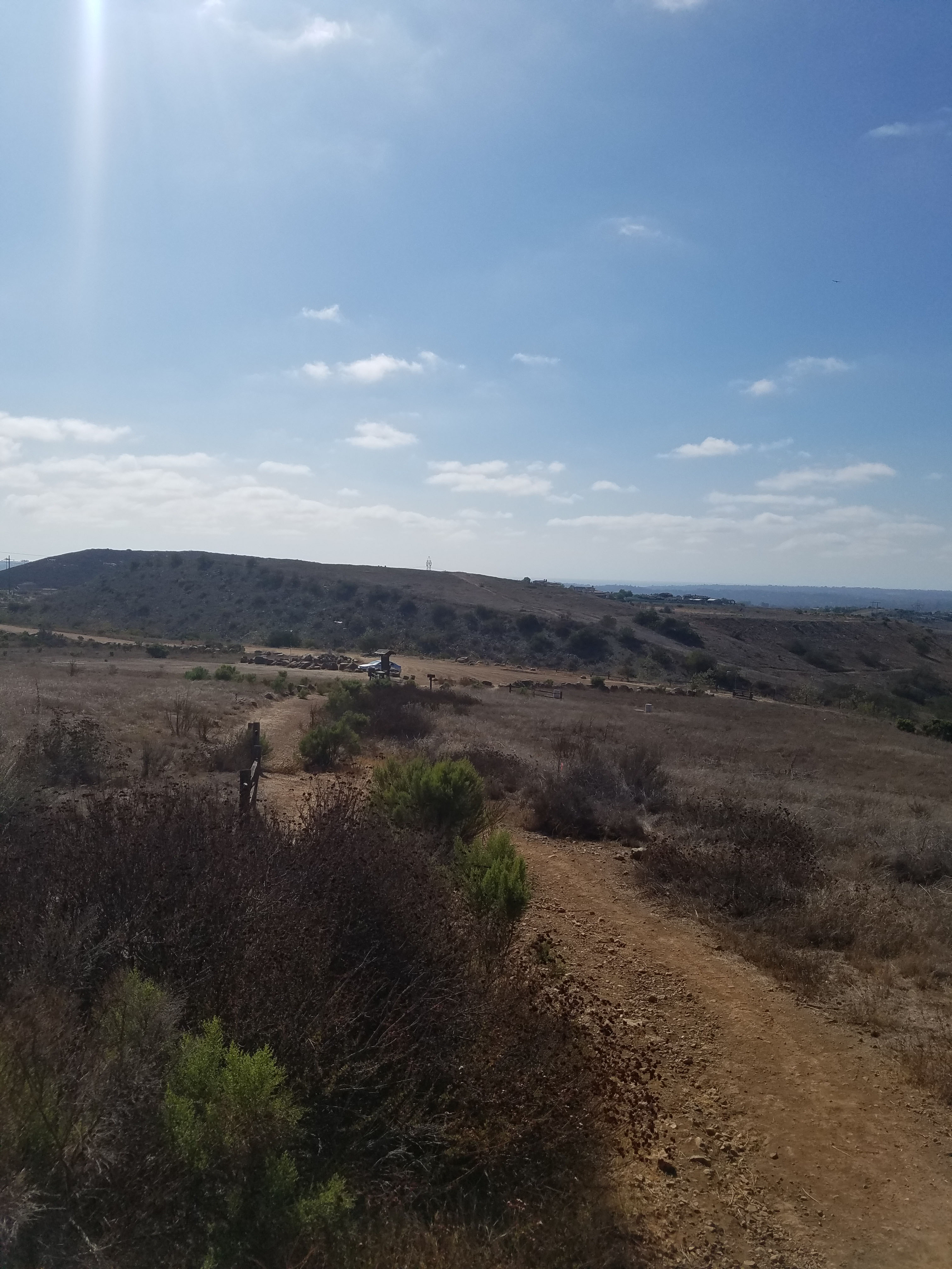
Beyond the landing area, Glider Point Trail heads on for a short distance until it reaches Miner’s Ridge Loop. At this point you have several options:
- You can turn around and head back the way you came for a 1.5 out-and-back walk.
- You can turn left and go downhill on Miner’s Ridge Loop and meet up with Lilac Canyon Trail at the Miner’s Ridge Loop parking lot. This is probably about 3 miles.
- You can turn right and go uphill on Miner’s Ridge Loop and meet up with Lilac Canyon Trail at the Miner’s Ridge Loop parking lot. This is probably closer to 4 miles.
- You can turn right and go uphill on Miner’s Ridge Loop. Head up the turnoff to the top of Black Mountain. This is our 6-mile Black Mountain North climb.
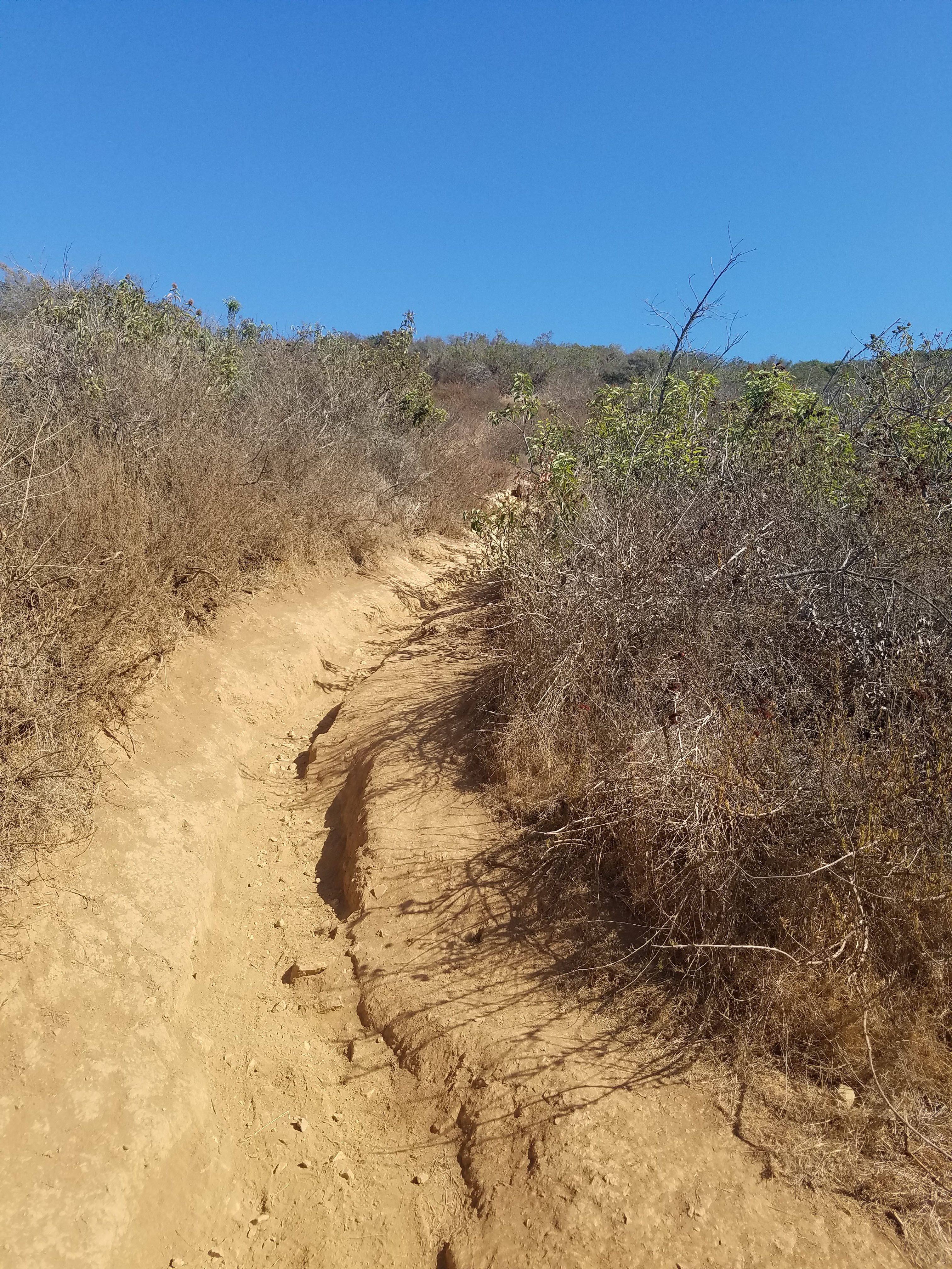
It should be noted that some of the trails of Black Mountain Open Space Park are still being defined. We found several turnoffs from Glider Point Trail that seemed to lead to dead-ends. Currently, these are not well marked. One of these turnoffs took us to a nice view of Black Mountain and also a clearing that, from the trash and broken glass, seemed to be a popular party spot. These areas will likely be blocked in the near future as the trails become better defined.
For more hikes in Black Mountain Open Space Park go to our overview.
See our guide to all the hikes in Black Mountain Open Space Park.