San Diego Hikes: Finding Lusardi Creek Loop Trail
Black Mountain Open Space Park is a new and evolving part of the city of San Diego’s Park and Recreation system. Most of the action centers around the mountain itself but a major section of the park is in the northwest area beyond the mountain. This is an area that has been fairly newly developed and I have not had a great deal of experience with it. In this edition of San Diego Hikes, I describe my efforts at finding Lusardi Creek Loop Trail, a fairly new 9 mile+ trek through the lower half of Black Mountain Open Space Park.
The Black Mountain area of San Diego has been home to the Cole Family for many years. Erin grew up in the area in the 1970s and 1980s when only the southeast side of the mountain was developed. As late as 2000, the entire north half of Black Mountain was undeveloped. Now this area contains several communities, with a few more being added. Luckily the city of San Diego created Black Mountain Open Space Park to preserve over 2,000 acres of wilderness.
Our introductory guide to the park contains several hikes on Black Mountain itself. The one hike we had not done was the newly created, and epic 9-mile length, Lusardi Creek Loop Trail. Actually, we had done a version of this in late 2005 before the current development was finished. At that time, there was no official trail and roads were in the process of being dugout. Now there is an official trail and for completeness sake I figured it was time to explore it.
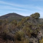
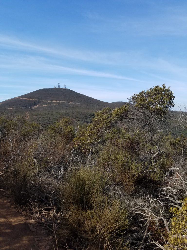
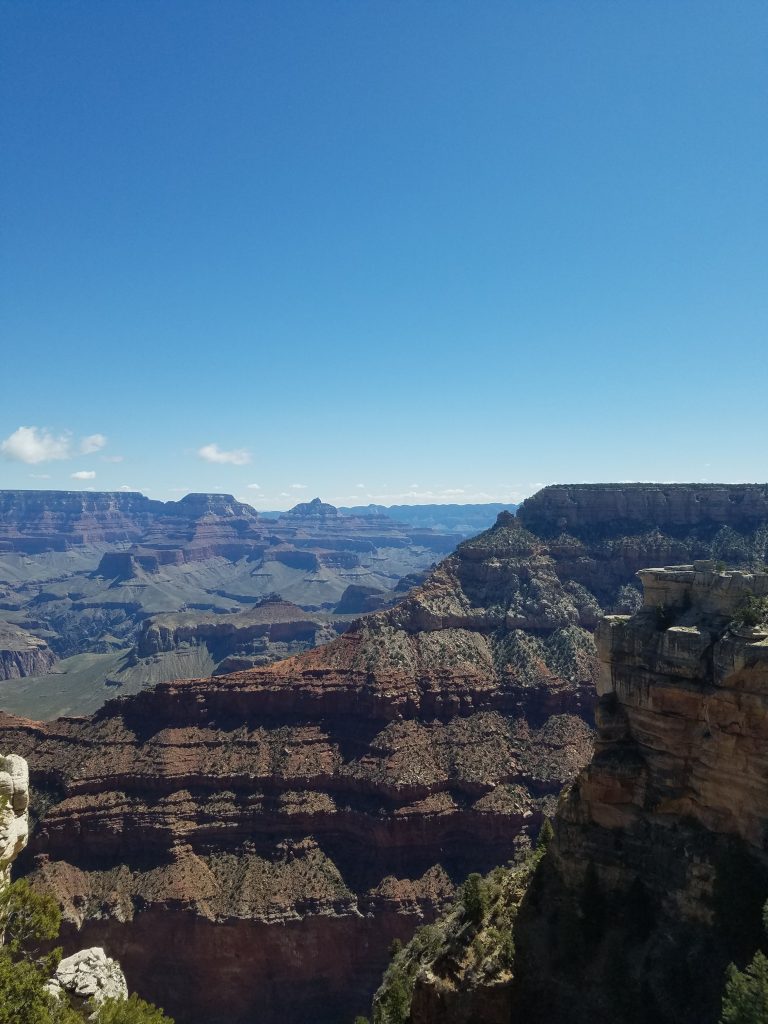
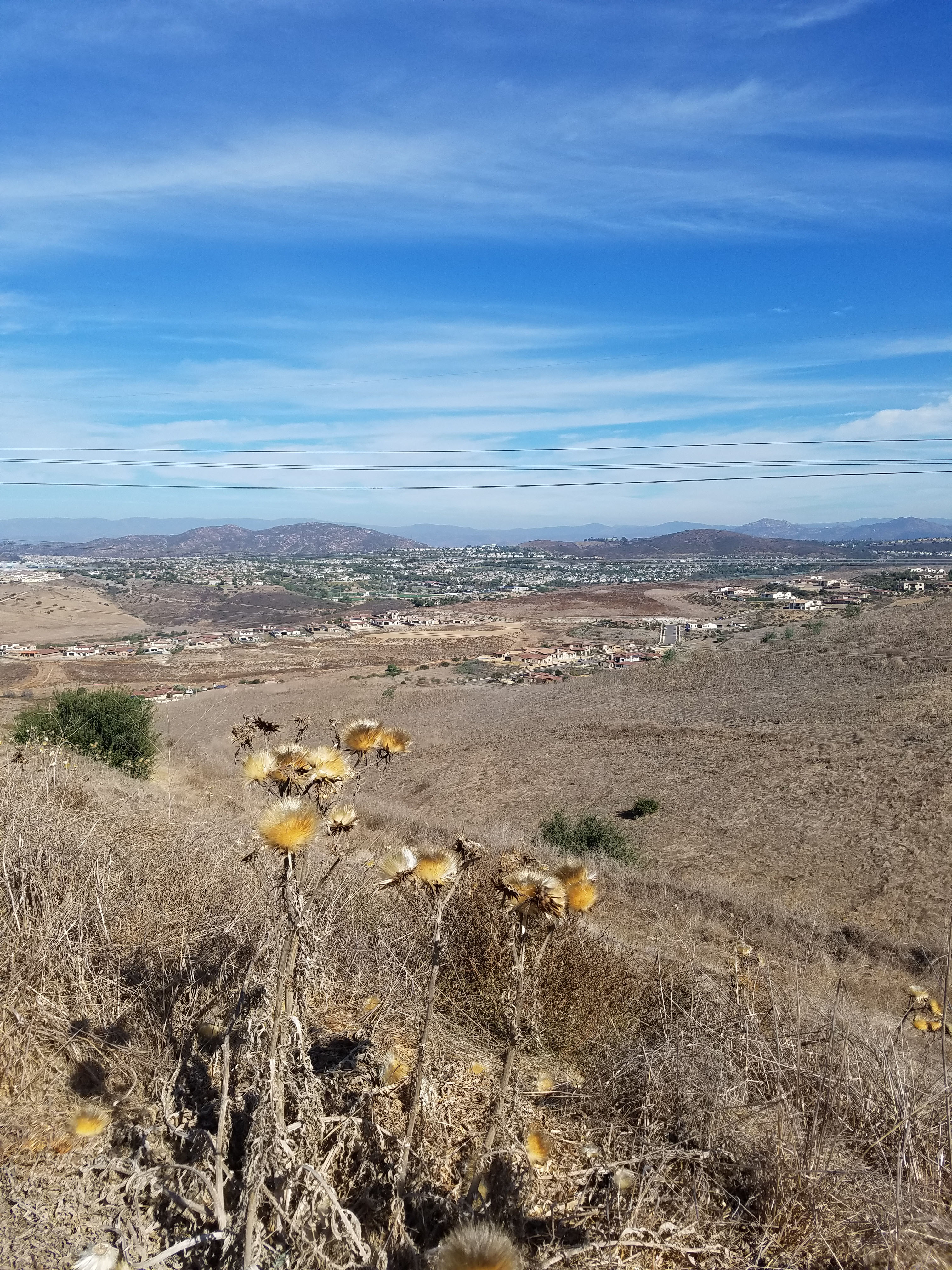
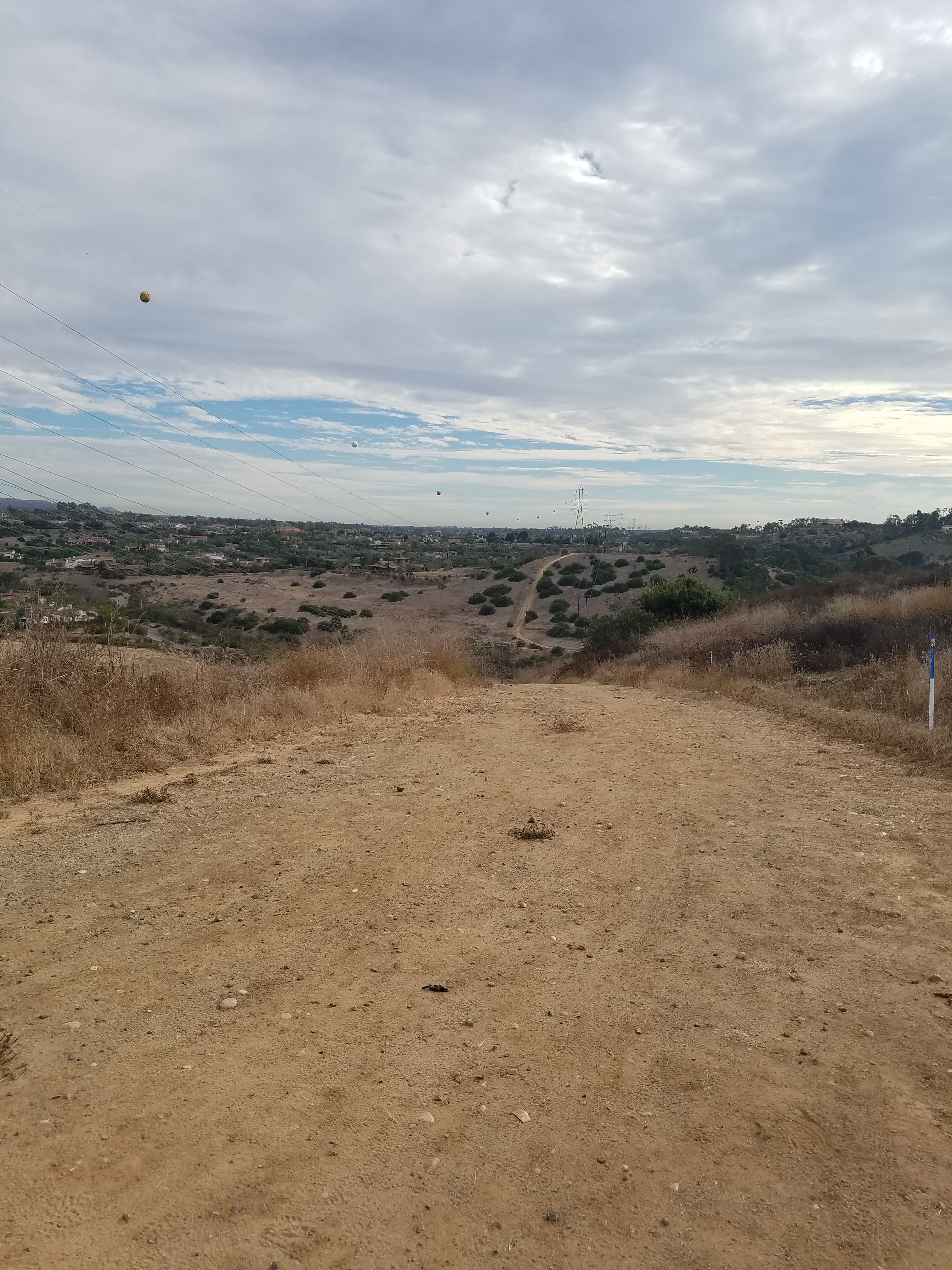
The first thing to note about this hike is that you do not get the scenic views from hiking Black Mountain. There are great views of high-end San Diego suburban development and some interesting wildlife, plants and canyons. This is also a good place to see how a major fire in 2014 damaged the canyons. Of course, 9 miles, with many ups and downs is not for the faint of heart. Although I hiked this trail, it is probably best done as a mountain biking trail.
One thing that inspired me to do this hike was the rumors that when the Rolling Stones played San Diego in 2015, Mick Jagger hiked this trail. He posted a picture online of what clearly looked like the area, with Black Mountain in the background. After 14 miles of walking these trails I realized that this was not where he hiked. For a description of where Mick Jagger did hike in this area see our post on the “Rolling Stone trail.”
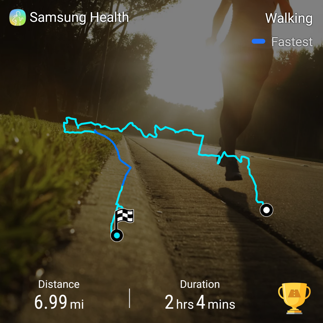
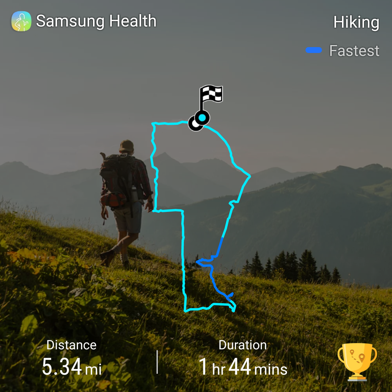
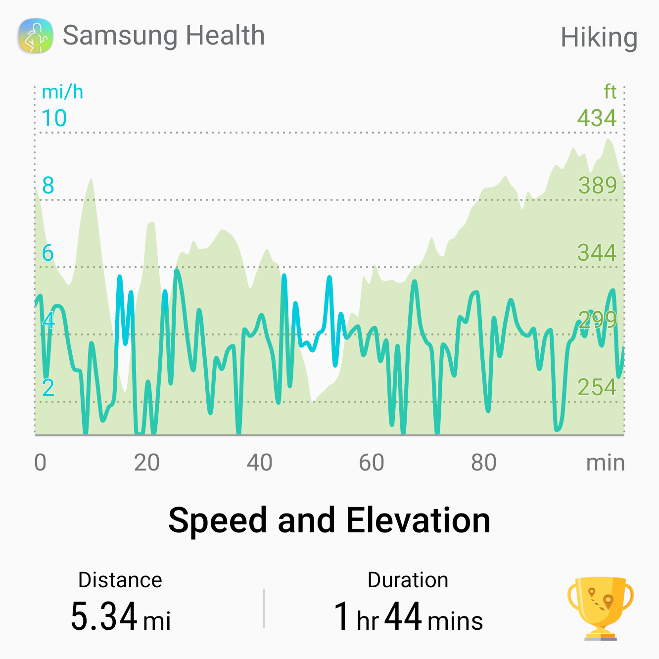
As mentioned, Lusardi Creek Loop trail is officially 9 miles long, but it took me 14 miles of walking and two days to do the trail. This is because as a new trail, the trail markings are still a work in progress. On the first day, I hiked 9 miles but missed a key turnoff for the trail. The second day I went back and did a 5-mile loop to complete the actual trail.
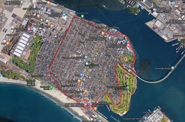
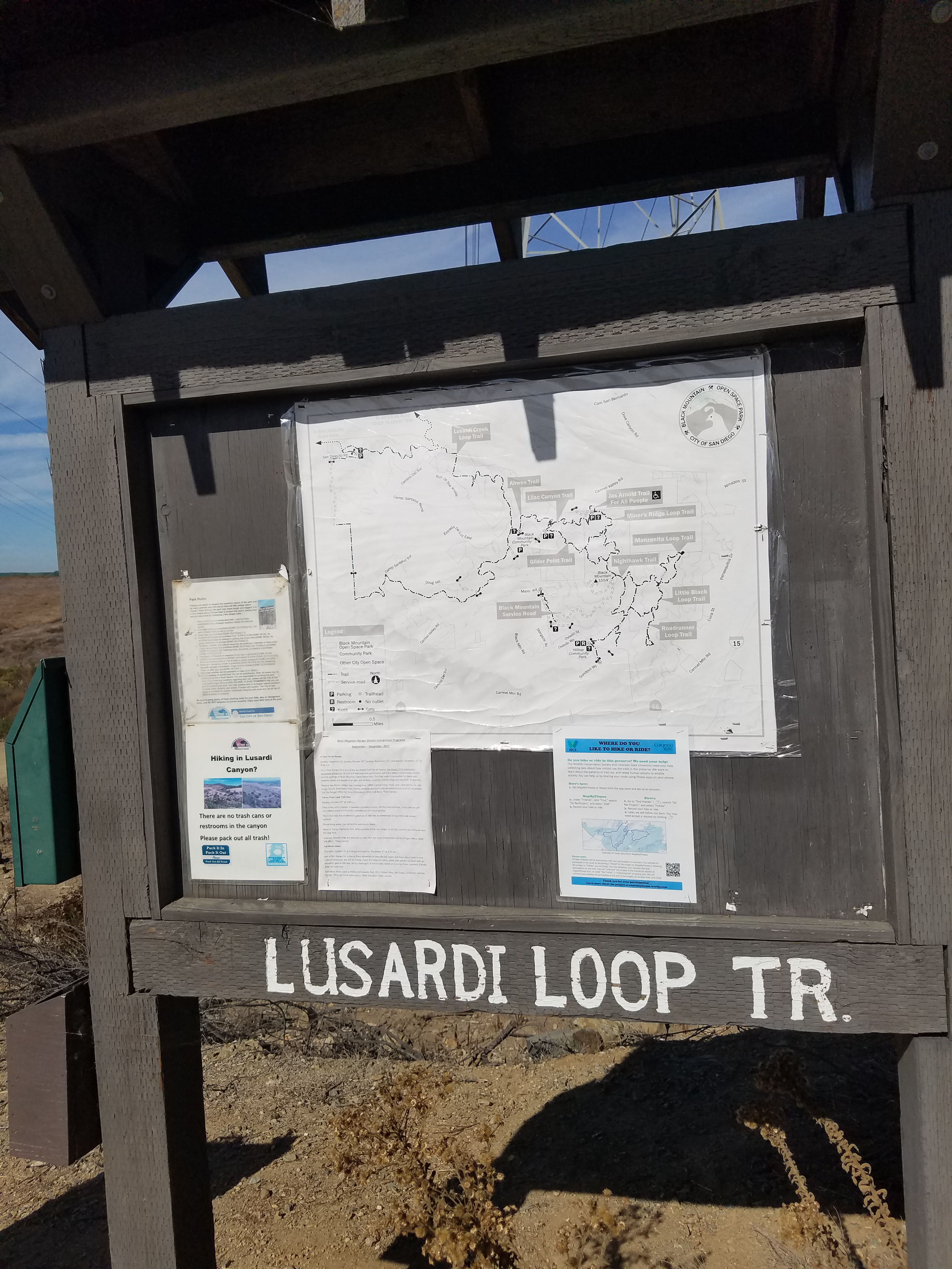
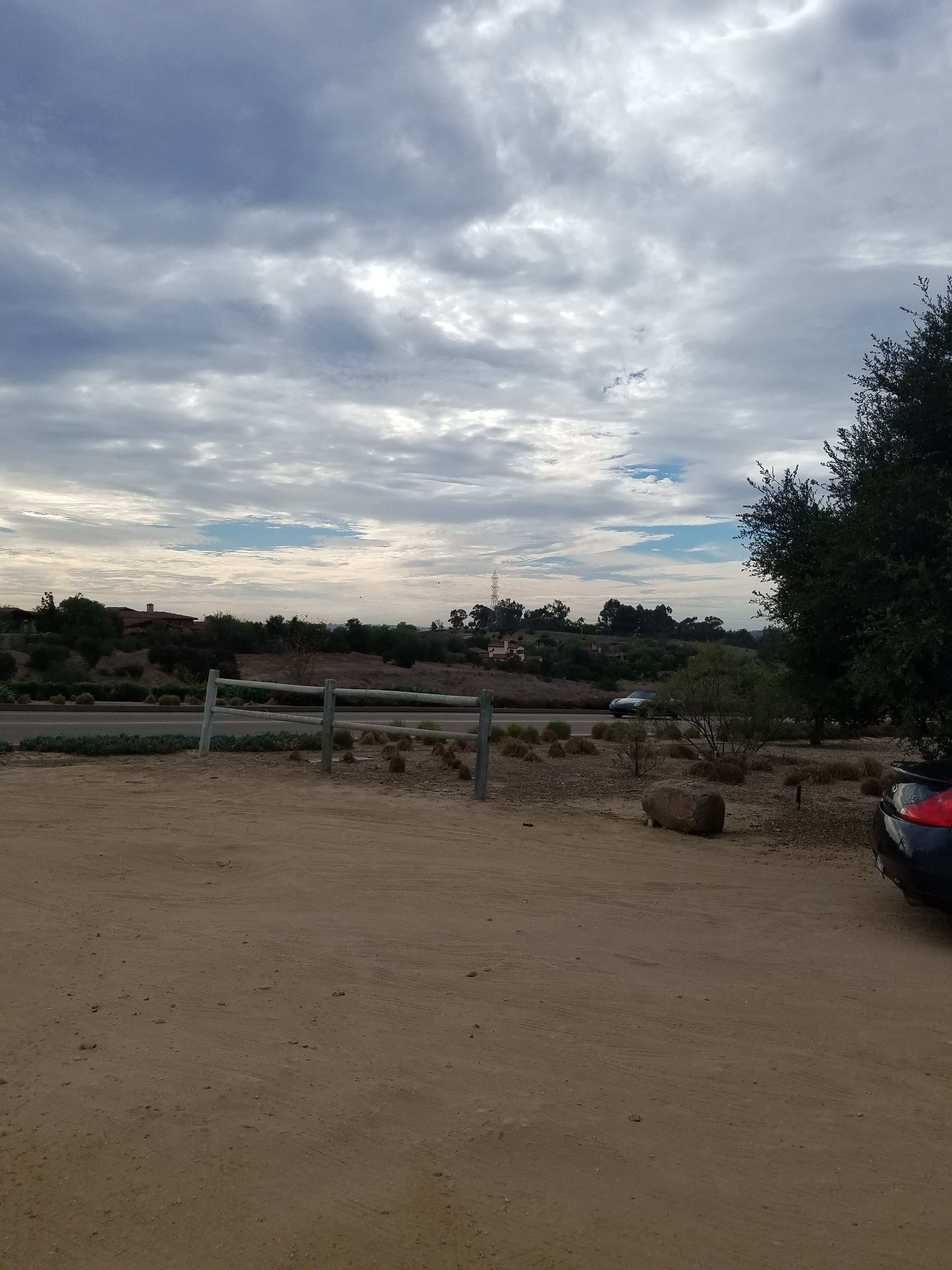
Unlike the hikes to the top of Black Mountain this trail is best started in Black Mountain Community Park, where there is plenty of parking and the trail starts north of the baseball fields. There are many other places to start the trail, including a small parking lot on San Dieguito road which is near where I lost the trail on my first day. The second day I used this parking lot to complete the loop.
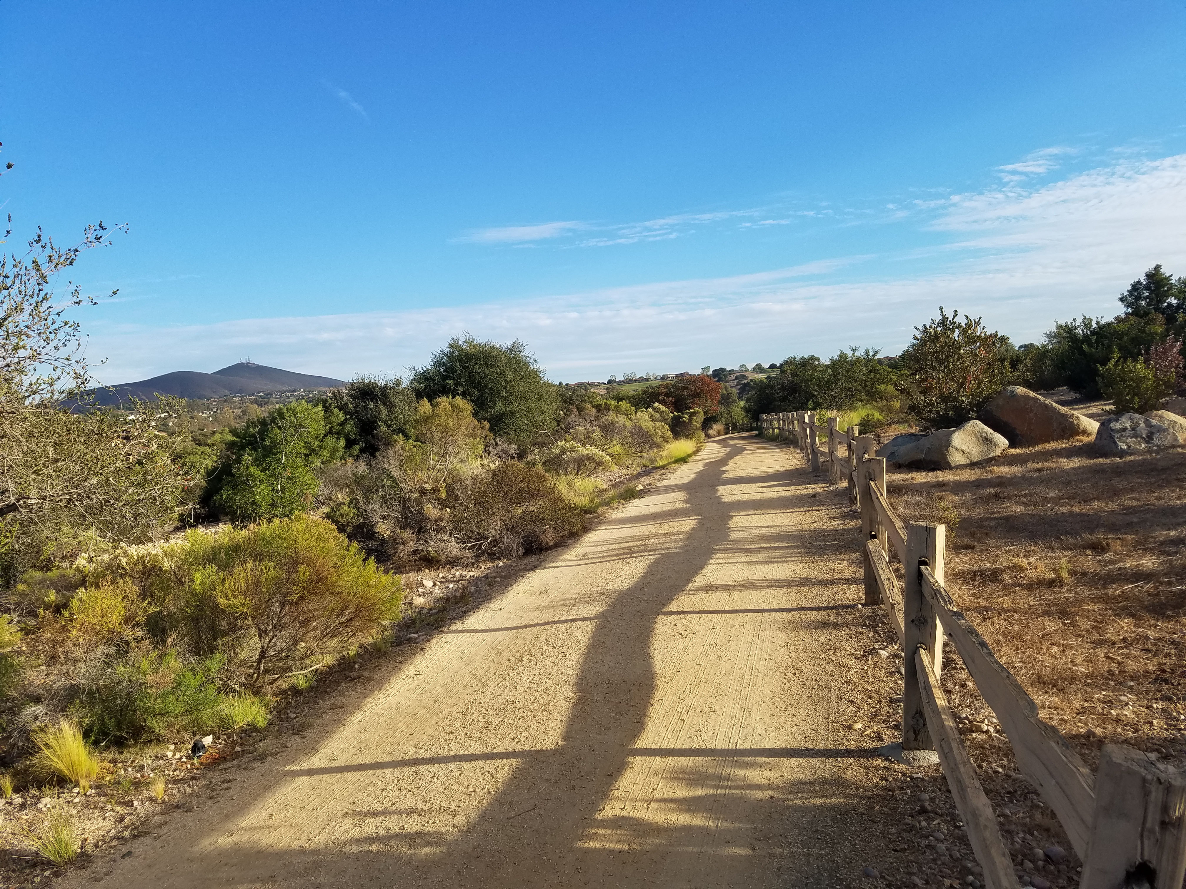
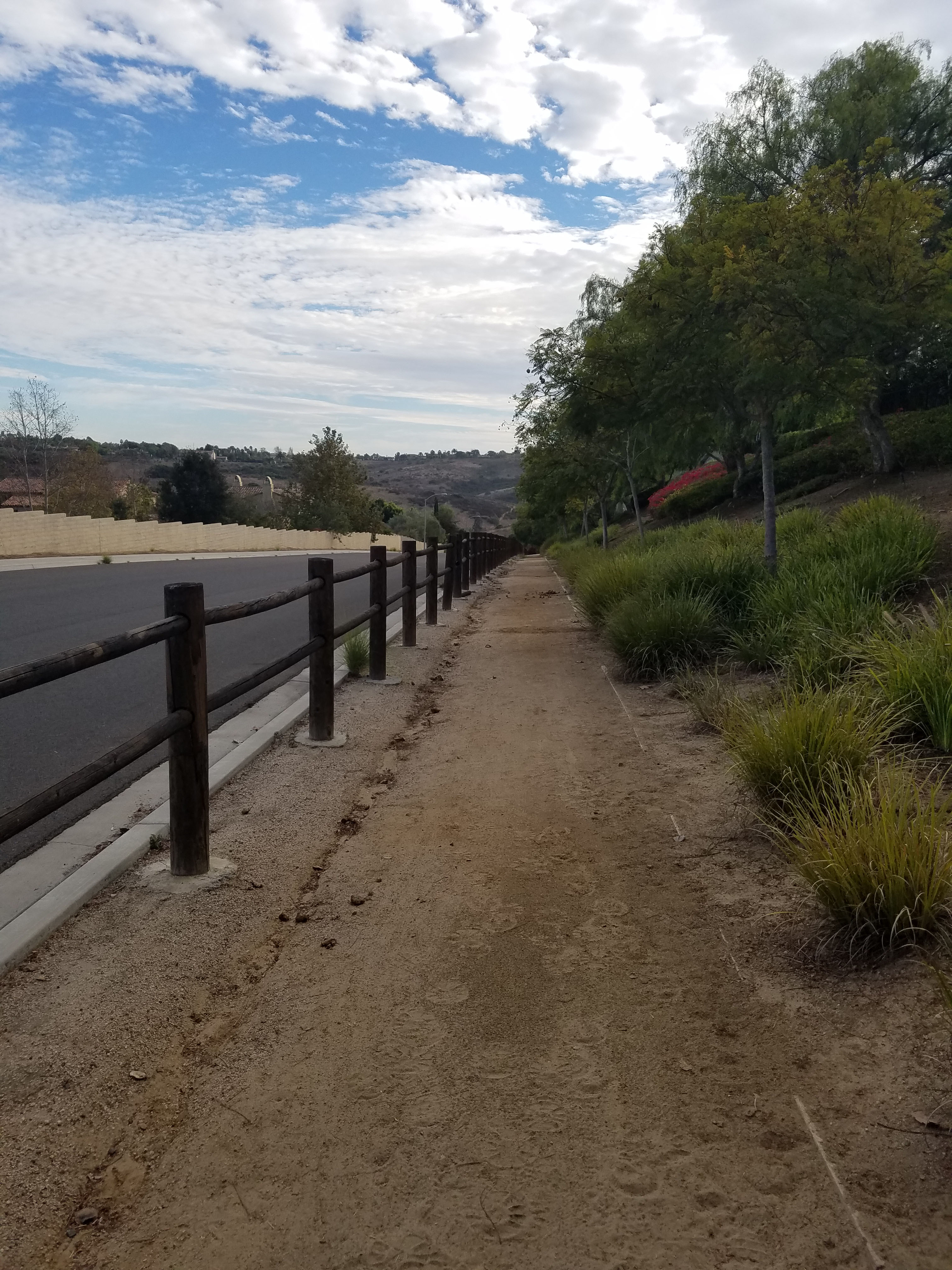
Obviously as a loop you can go either way but I went counterclockwise, heading north. In the fire of 2014 we watched as the baseball fields of Black Mountain Community Park acted as a fire break. All along the first part of the trail you will see signs of where the area is recovering from that fire (which started from a spark in the developing housing).
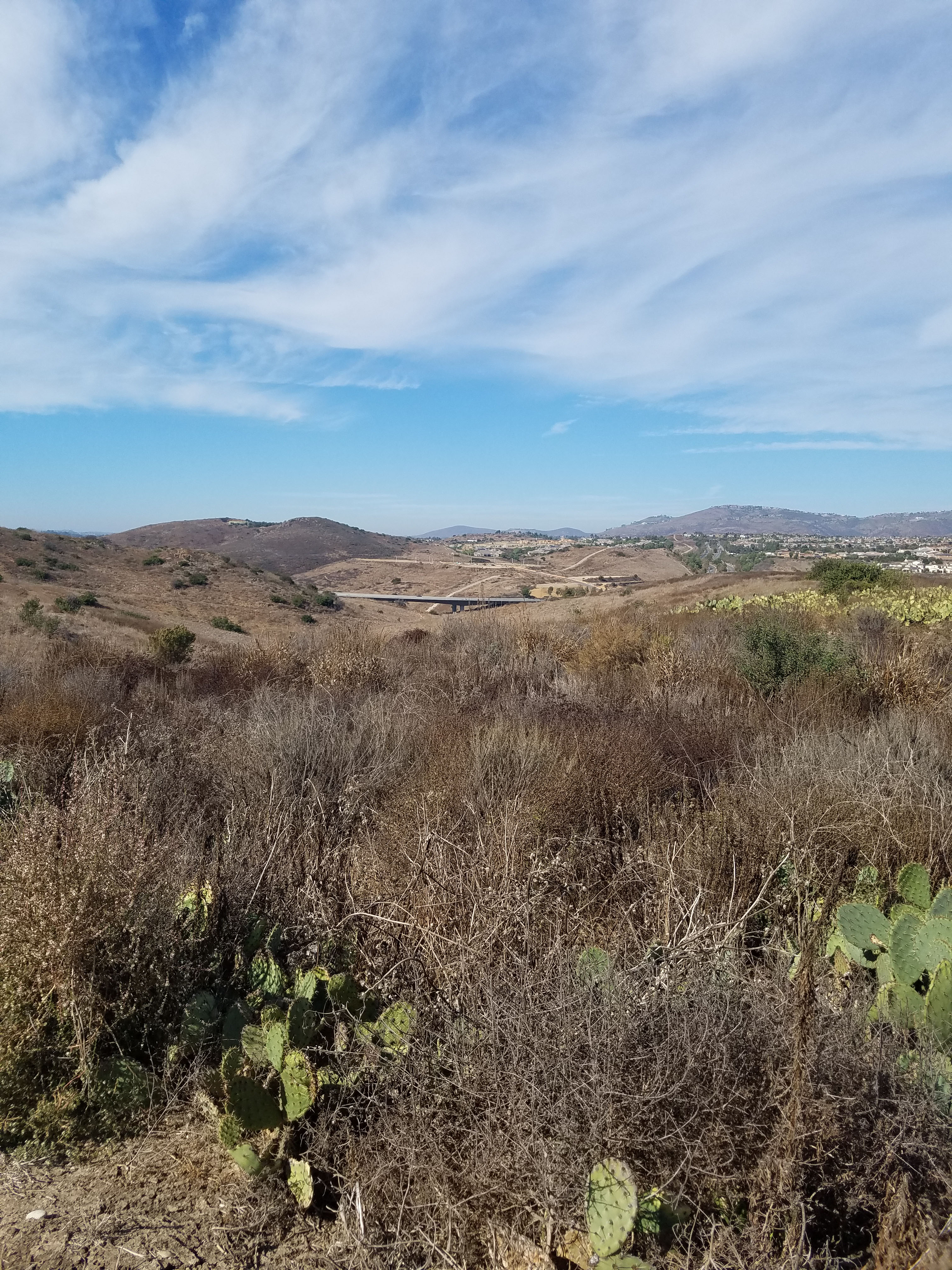
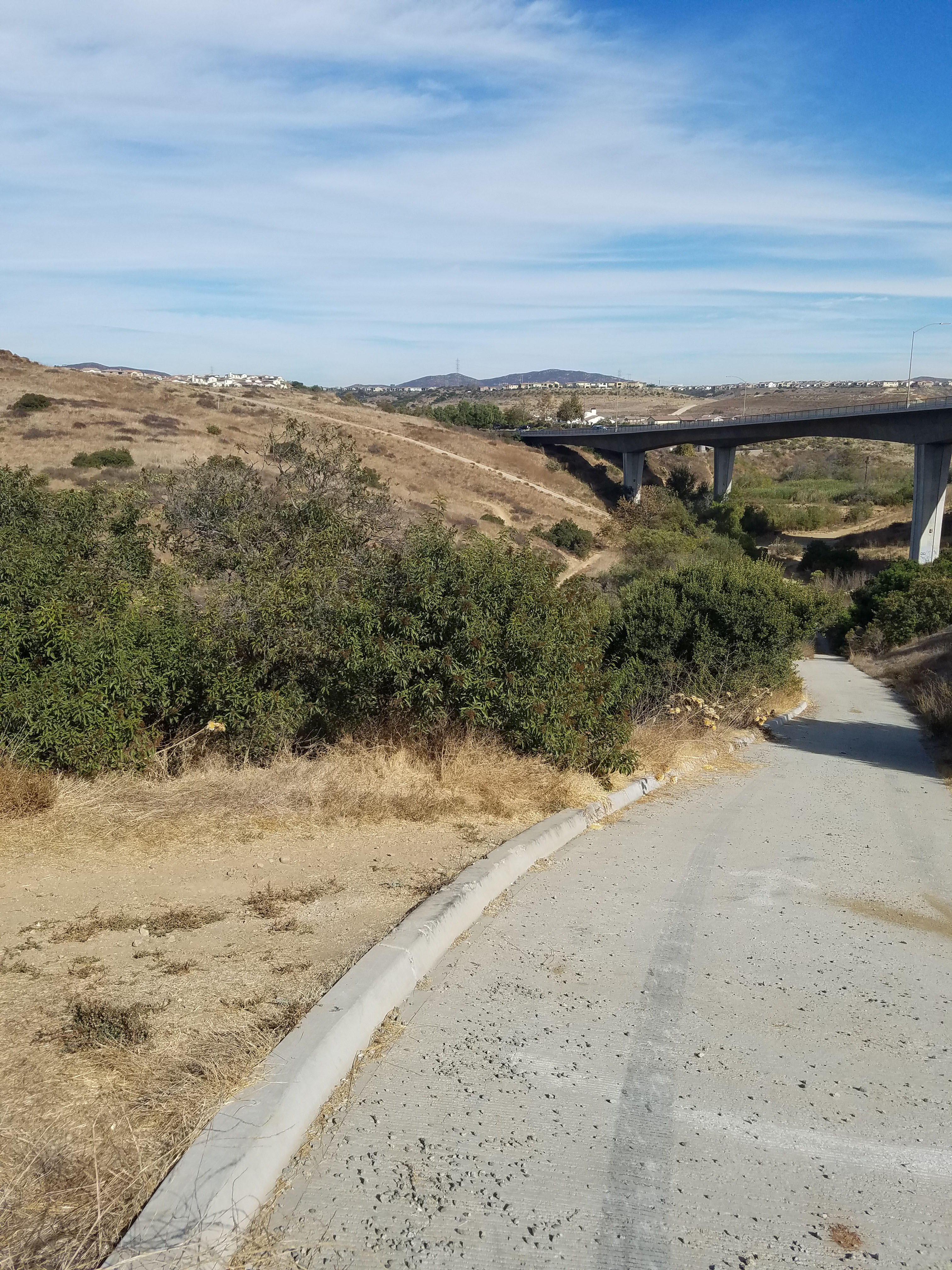
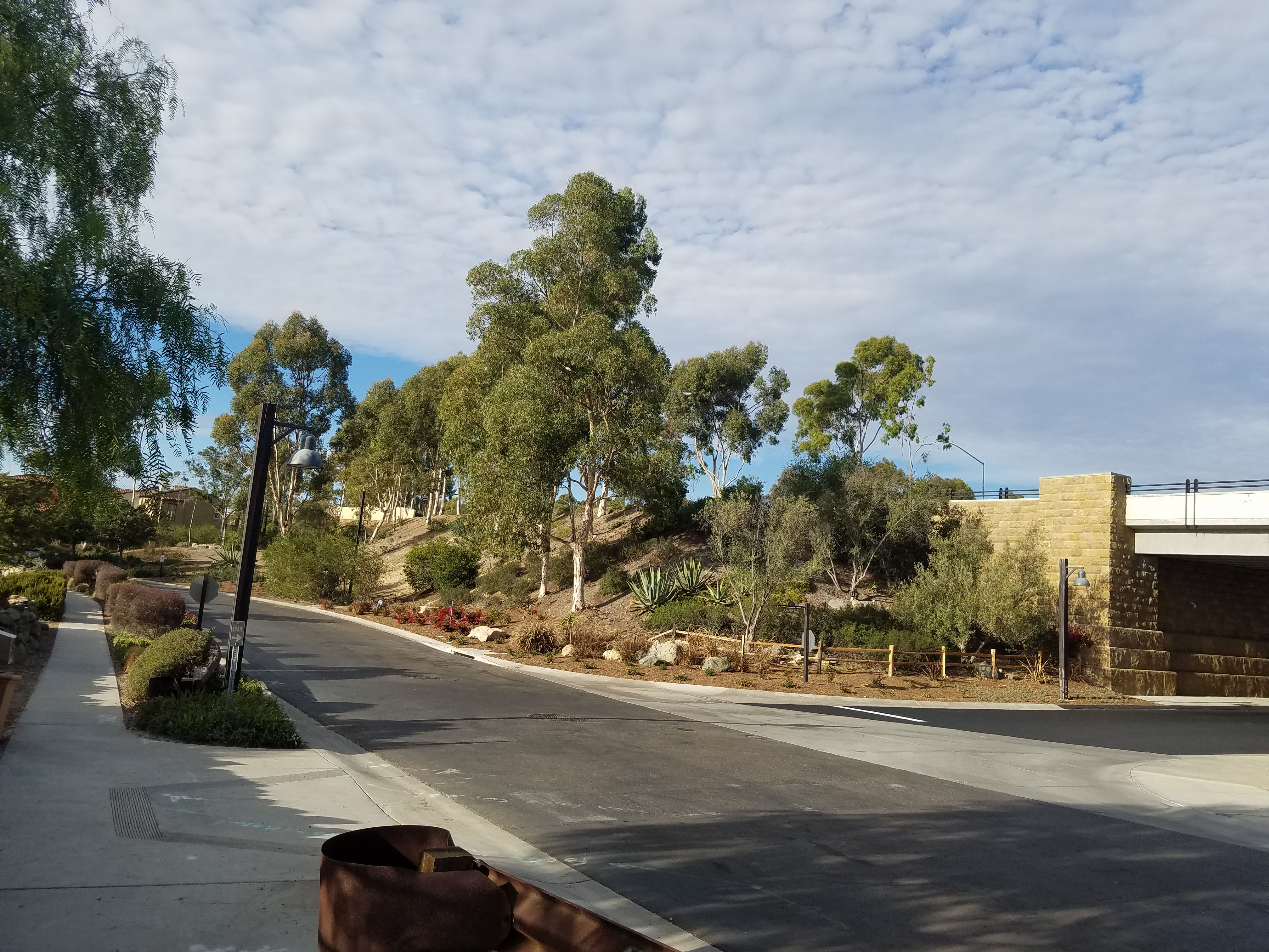
The initial walk takes you through canyons that, until recently, were undeveloped wilderness. At this point, the trail is not well-marked but is fairly obvious. The first confusing part comes when you get near the bridge that is actually Camino Del Sur road. When we hiked this in 2005 the bridge was in the process of being built and this was pretty much the end of civilization. Now it reaches the Del Sur and 4S Ranch communities and all kinds of new shops and restaurants. For now, your goal is to get under the bridge.
The trail splits off into multiple directions and I am still not sure which is the official trail. A creek runs underneath the bridge and there are trails on both sides of the creek. Pick one and parallel the creek under the bridge. I think the official trail goes under the north side of the creek (right side of bridge). If you follow the left, south trail it will reach a steep road right after you cross under the bridge. To follow the official trail you need to take the 90-degree turnoff to the right near the top of the road (down towards the creek). There is smaller bridge crossing the creek.
After the bridge, the trail is fairly easy to follow until it starts to loop up towards San Dieguito Road. Here you start to meet up with the San Dieguito River Park and Coast to Crest trail system. These are part of ambitious plans to build a 70+ mile system connecting the ocean to the mountains in the east. For now, the challenge is to figure out which trail is Lusardi Creek Loop.
The goal is to head up to the small parking lot on San Dieguito Road. Here is the point where, on the first day, I lost the trail and my cellphone started to run out of juice. I ended up hiking down Camino Del Sur road to meet up with the trail for the final part. What you want to do at the parking lot is cross San Dieguito Road and turn right. Follow the trail about 0.2 miles to the powerlines.
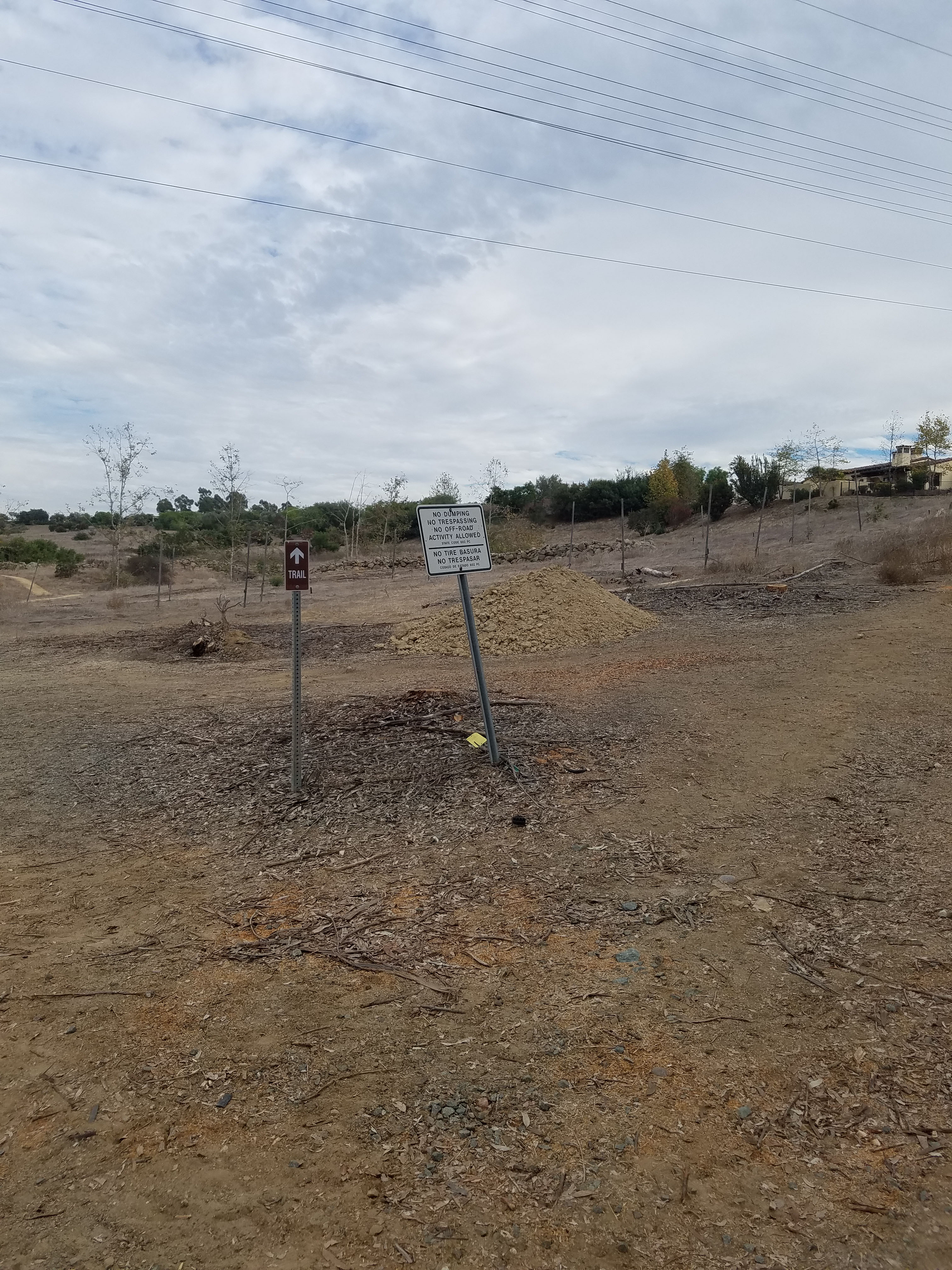
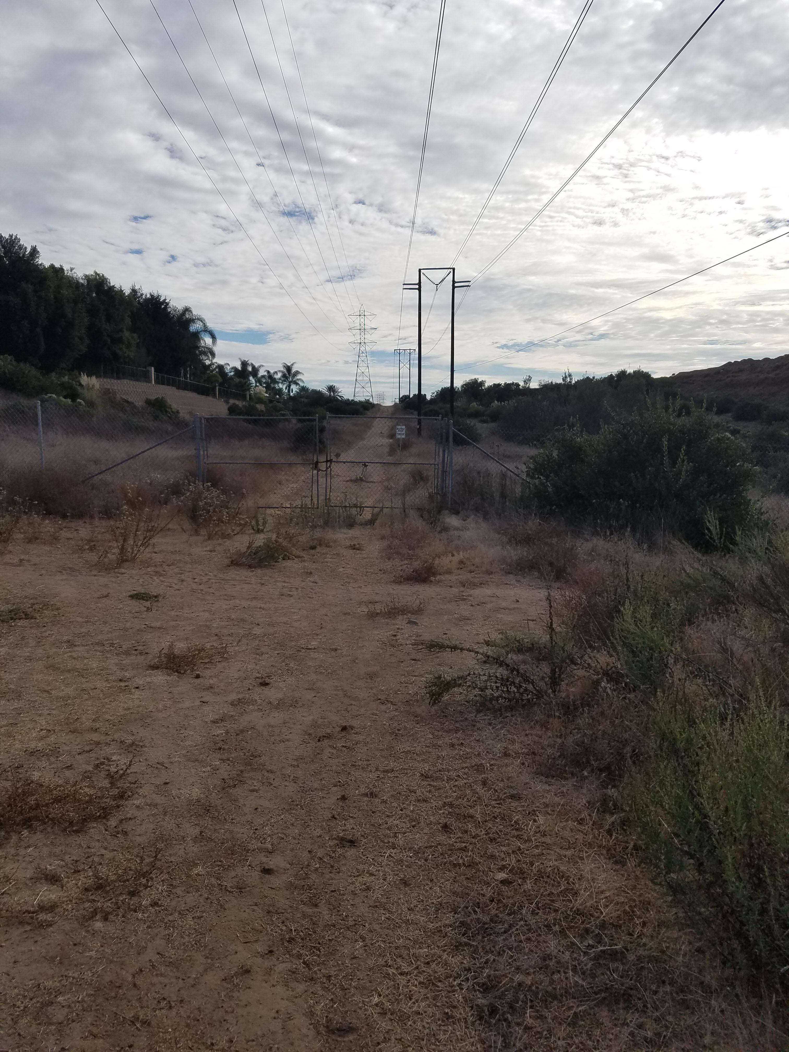
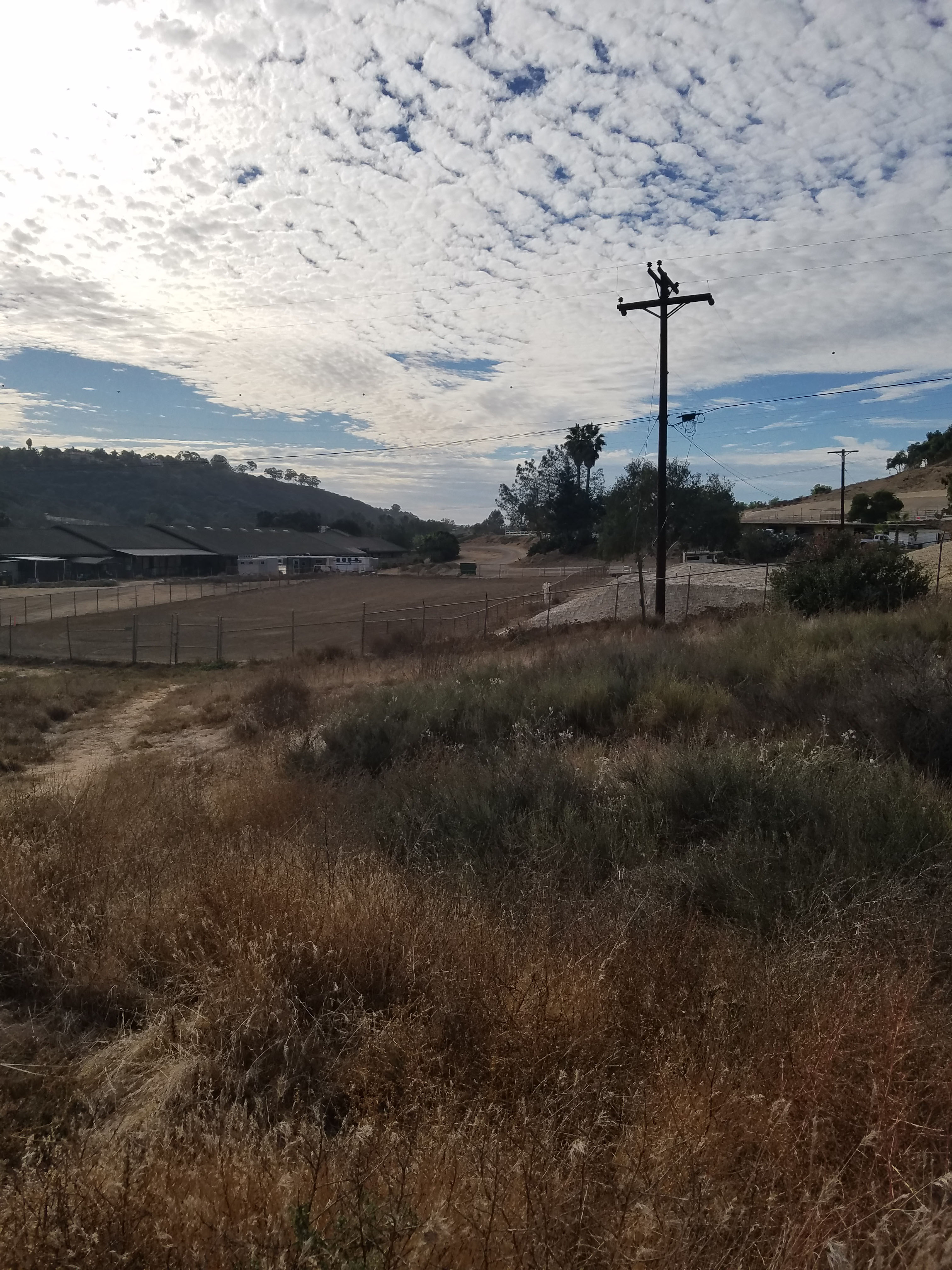
There are several signs that just say trail, but basically you will want to turn left at the powerlines and follow the service road. The service road follows the powerlines for about a mile until you reach an obvious dead-end. At this point you want to take a sharp left into the Santaluz sub-division. Follow this until it tells you to make a sharp right (there will be no choice).
The trail at this point is fairly obvious as Santaluz is a gated community and this is the only place commoners are allowed to access. This is a very suburban area but you will start to see lots of horses. About a mile through Santaluz you will see why. There is a large horsing farm to the right of the trail. When you reach this you will head left, towards the east.
The trail at this point is obvious until you climb up right below Camino Del Sur. There is not a good indication of where to go but what you want to do is turn left and walk down to the road that goes under Camino Del Sur. Here you will once again see signs for the trail.
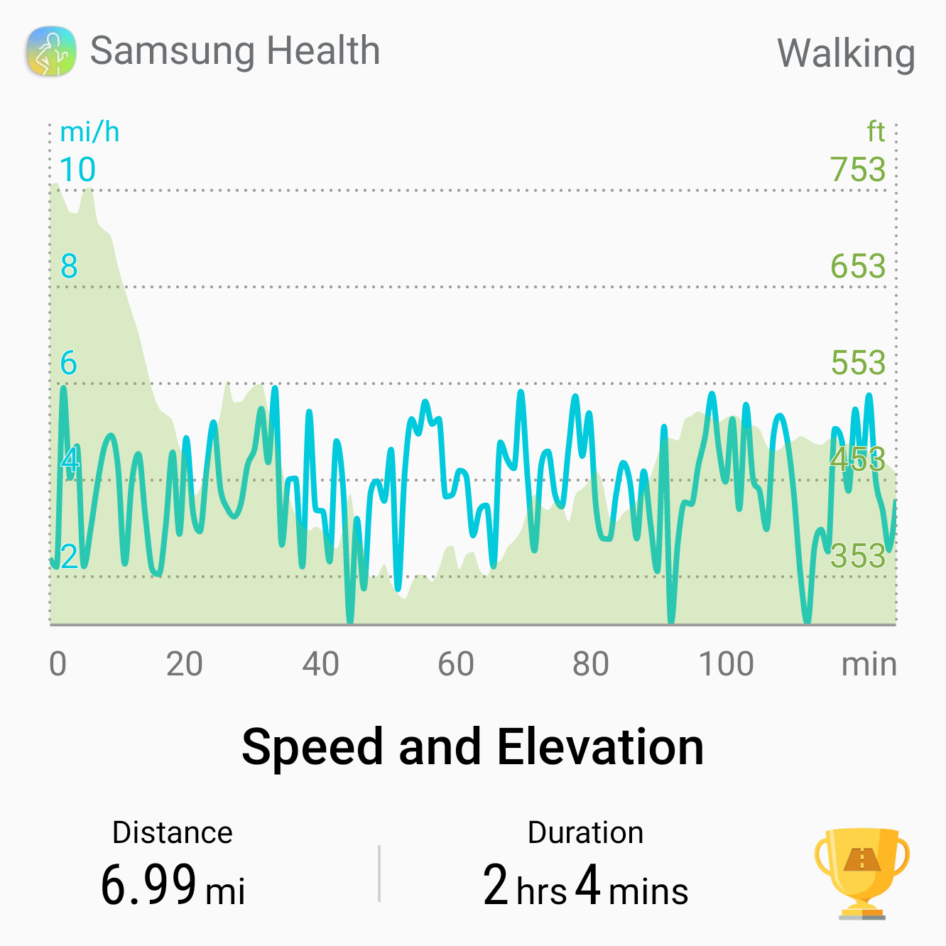
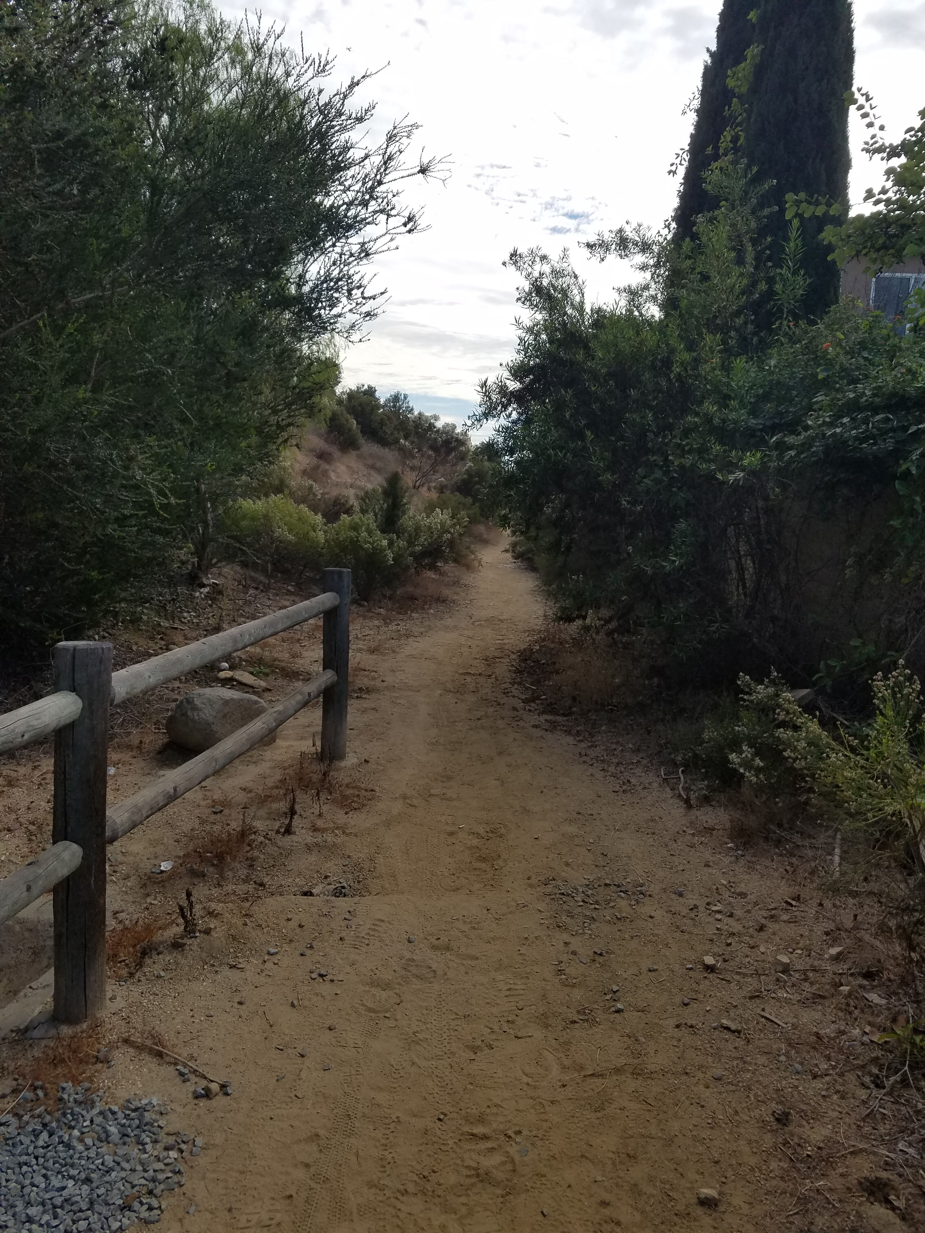
This final part will take you through some canyons around Santaluz until you face a final steep and twisting climb back to Black Mountain Community Park. After having walked nine miles this is the hardest part of the hike. It might be easier to do the hike clockwise but either way this hike can be described as a roller coaster with lots of ups and downs.
This hike is a great workout for those rare times when I have 3 hours to spare on a hike. However, as mentioned this is probably best as a mountain bike trail. Nine miles is nothing on a mountain bike, but the many up and downhills will give a great workout. I imagine doing this once every 5 years or so.
See our guide to all the hikes in Black Mountain Open Space Park.