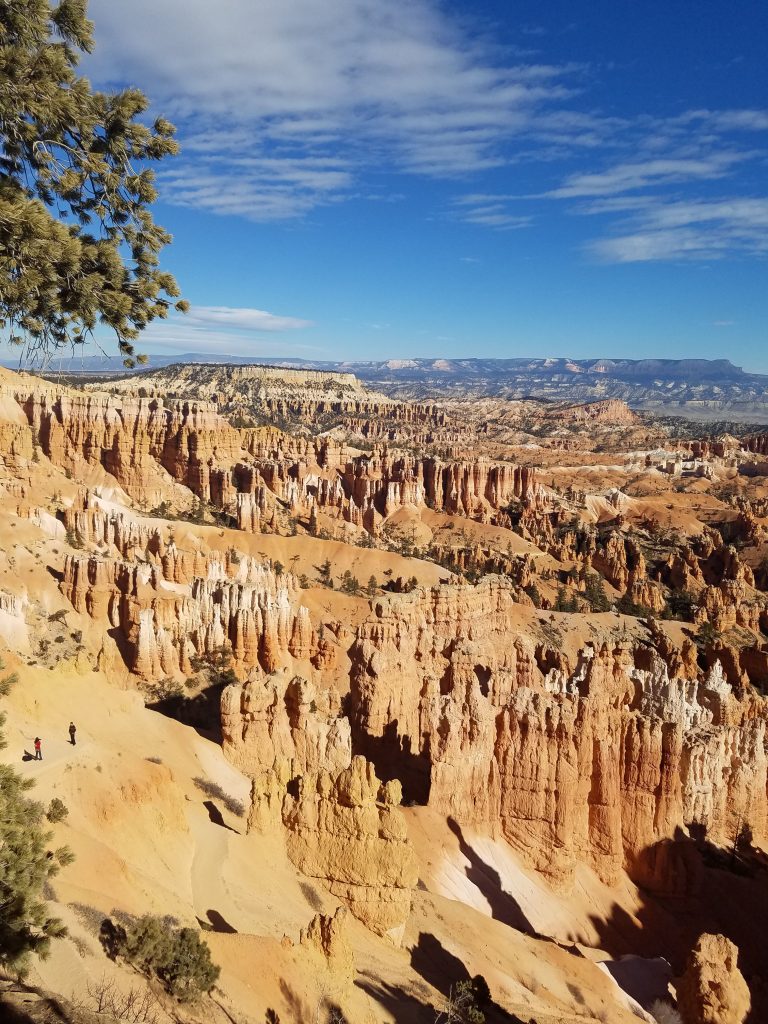
Grand Canyon Hike: South Kaibab Trail to Cedar Ridge
One of the best short hikes into the Grand Canyon is taking the South Kaibab Trail to Cedar Ridge. This 3-mile hike descends 1,100 feet into the Grand Canyon and offers spectacular views. It is a nice workout and not too strenuous for the average hiker.
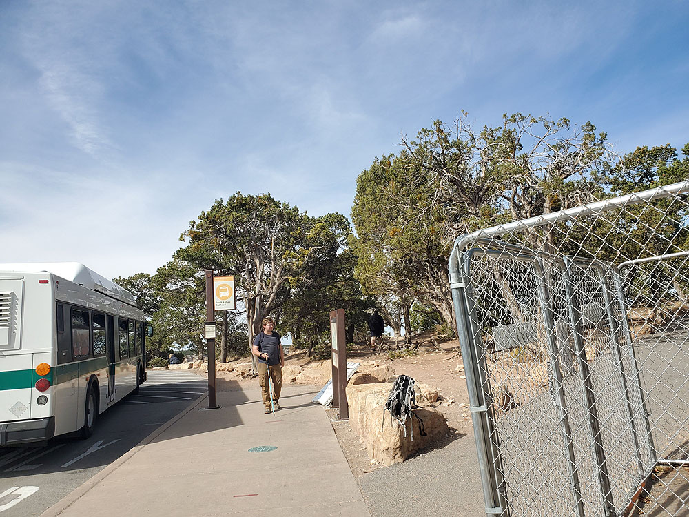
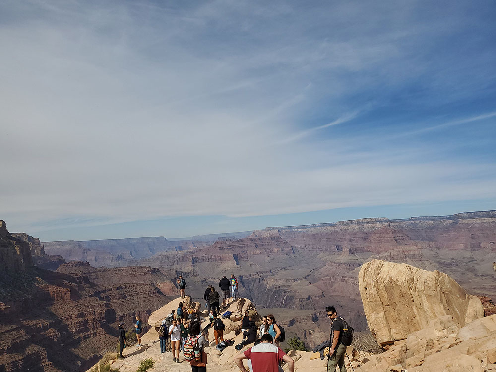
- Starting Point: South Kaibab Trailhead bus stop near Yaki Point. Shuttle bus access only
- Length: 3 miles
- Elevation: 1,100 foot gain and loss
- Type: out-and-back
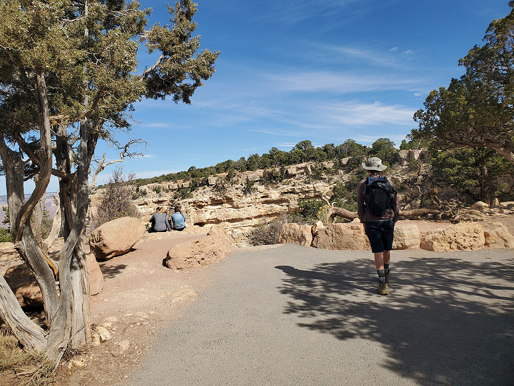
There are many great hikes at the Grand Canyon. The Rim Trail is a flat walk along the top of the canyon offering wonderful views. However, for the more adventurous that want to head down into the canyon the South Kaibab Trail offers the best opportunities.
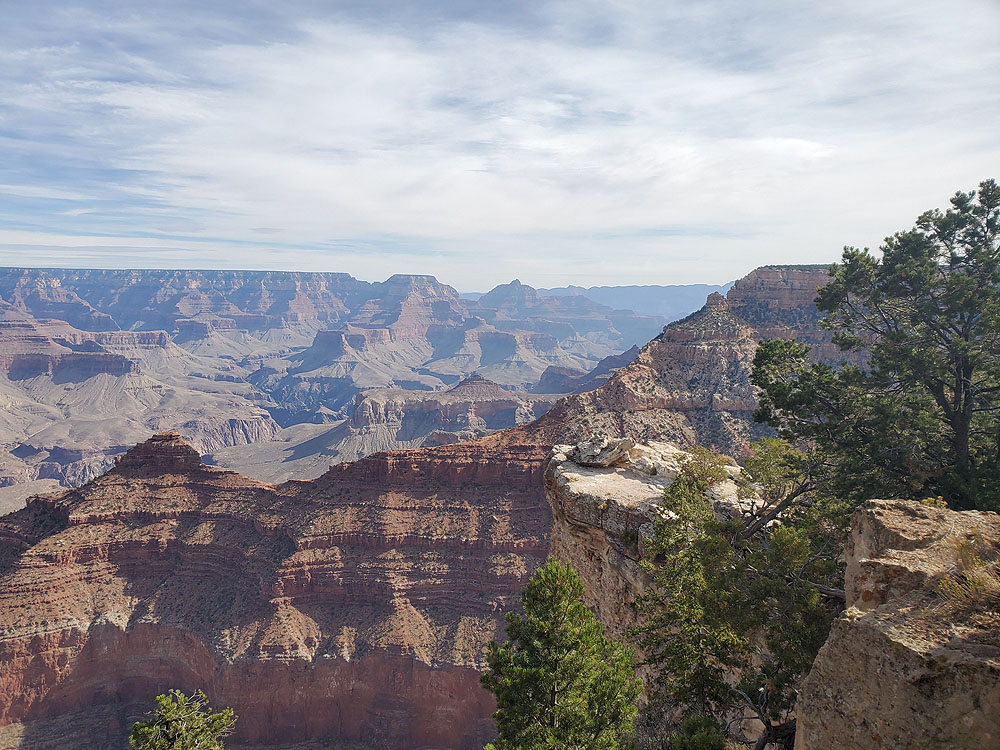
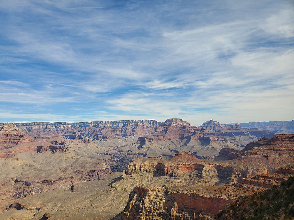
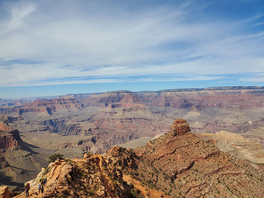
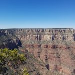
There are two major trails that lead from the South Rim of the Grand Canyon to the bottom of the canyon, 5,000 feet below at the Colorado River. Bright Angel Trail is in the heart of the park’s original visitor center and is very popular. However, the views from South Kaibab Trail are better, especially near the top.
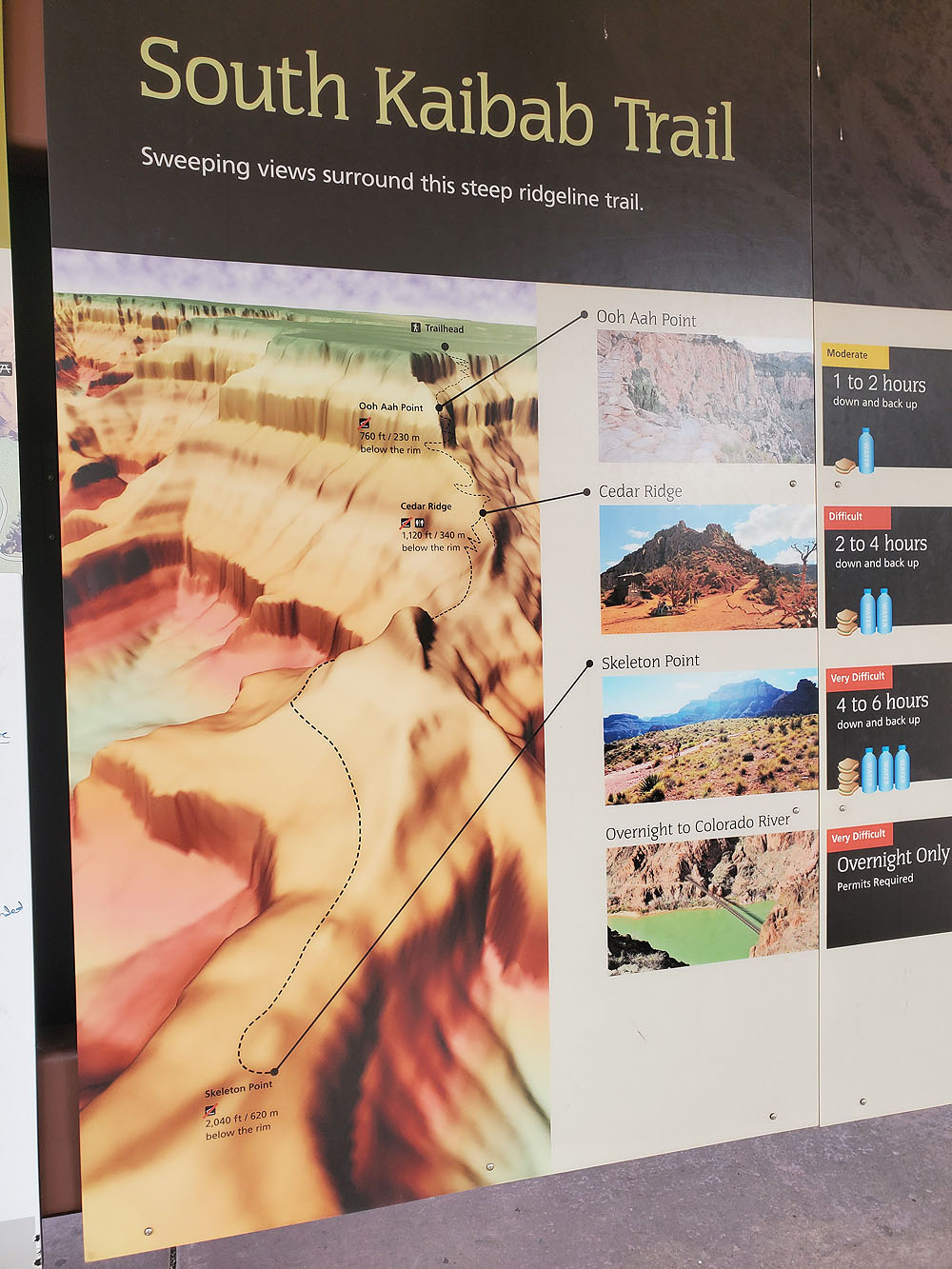
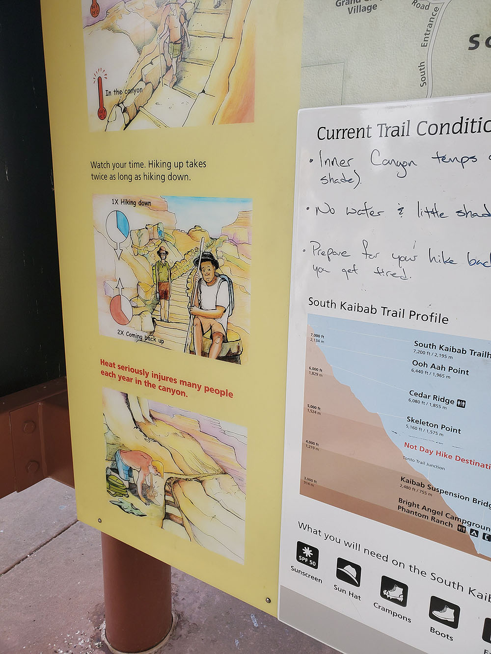
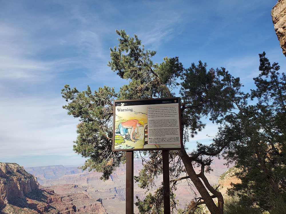
South Kaibab Trail descends all the way to the Colorado River. However, there are all kinds of signs warning hikers not to go all the way down the trail in a single day. Cedar Ridge is the recommended turn around for first-time canyon hikers, especially in the summer.
To get to South Kaibab Trail there is a shuttle bus that runs from the visitor center. We did this hike during COVID-19 and had to wait about 20 minutes at each end to get a bus. The National Park Service regularly updates information on the shuttle here.
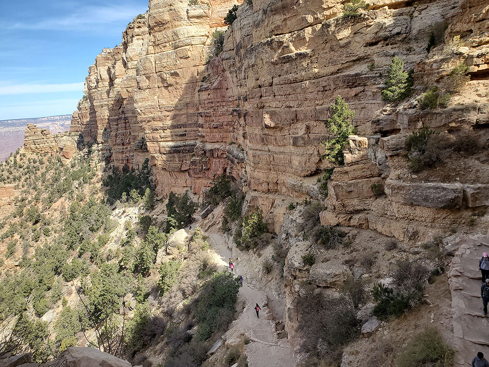
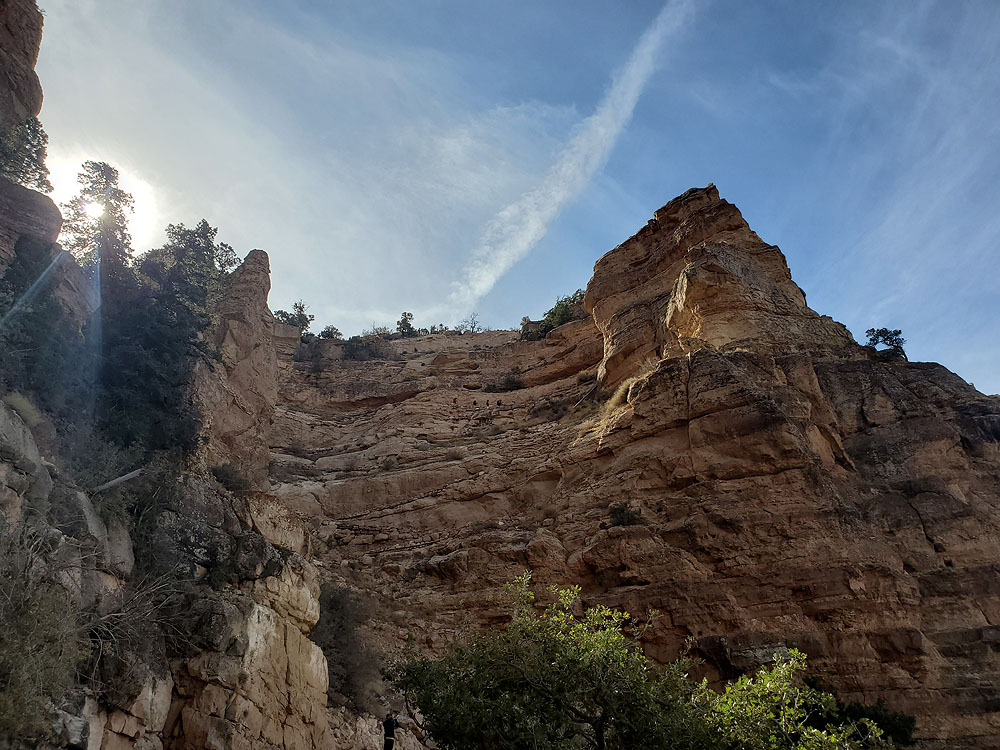
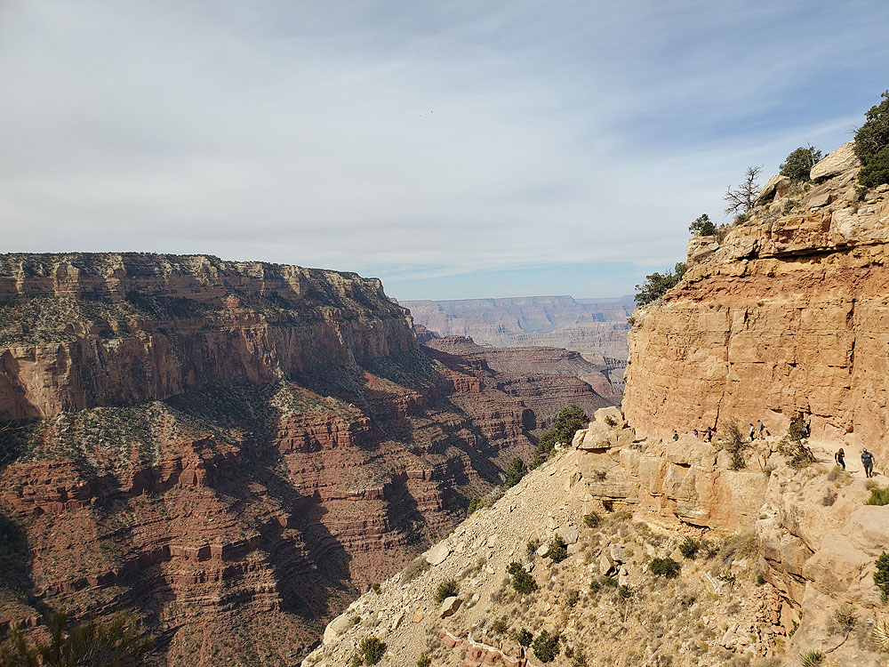
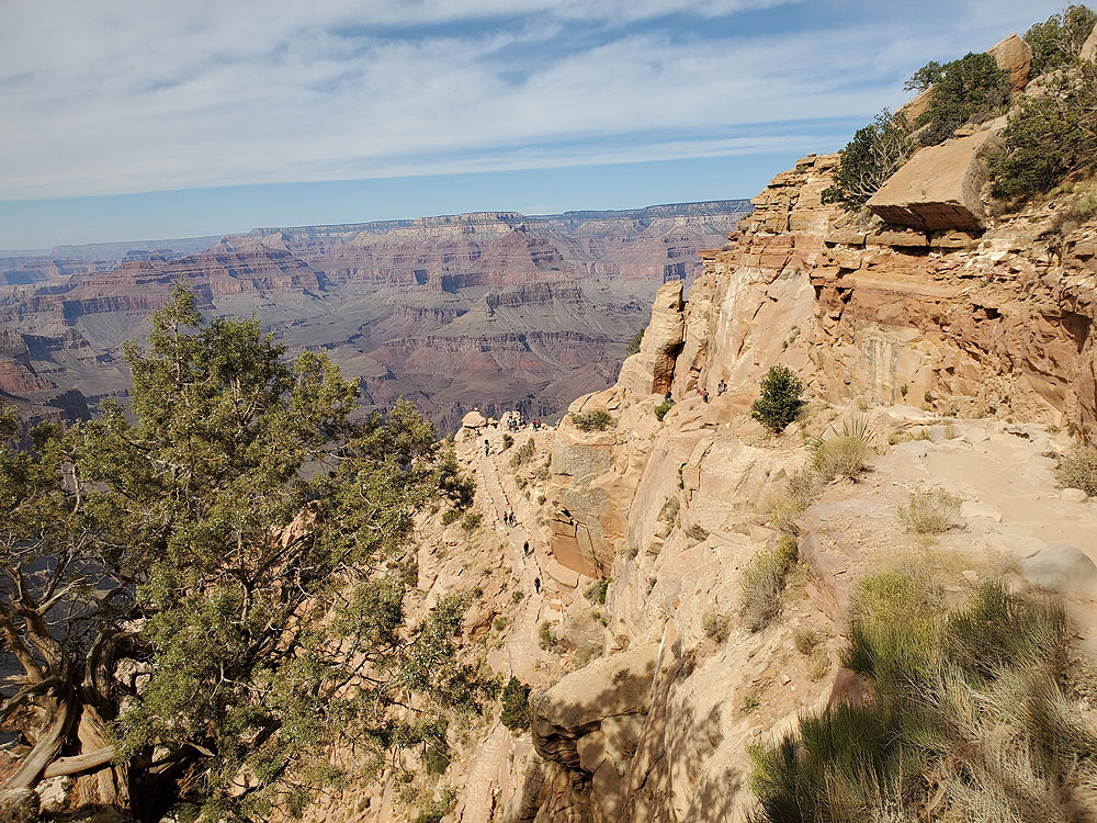
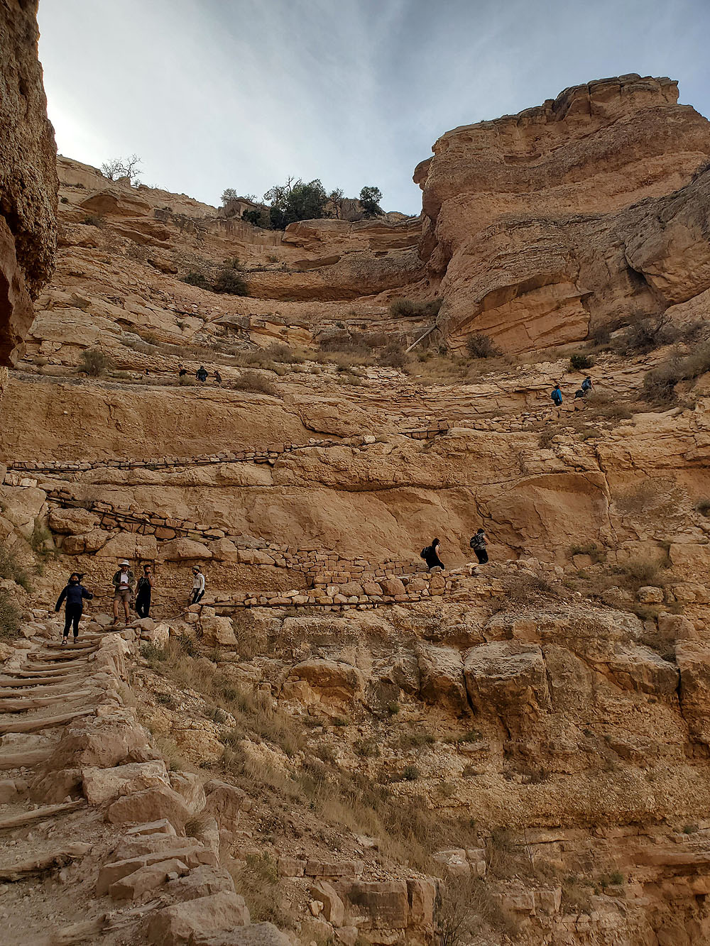
The South Kaibab Trail starts its descent into the Grand Canyon right from the bus stop at 7,260 feet above sea level. The first half mile is a series of steep switchbacks that drop about 500 feet into the canyon. The good news is these switchbacks, while looking intimidating, actually make hiking out of the canyon significantly easier.
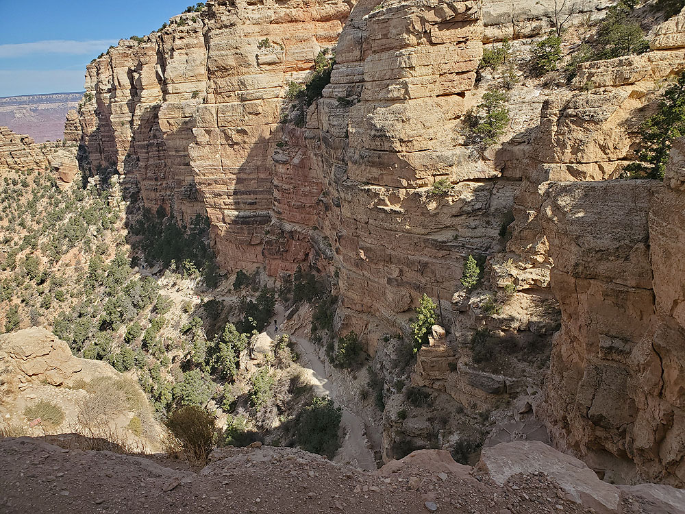
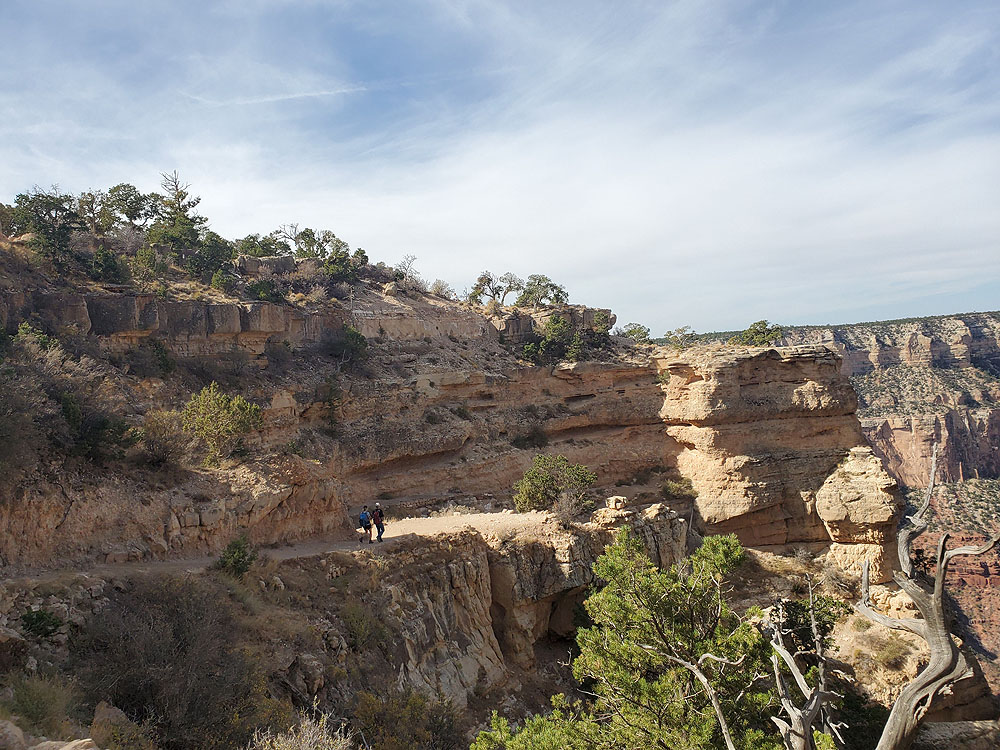
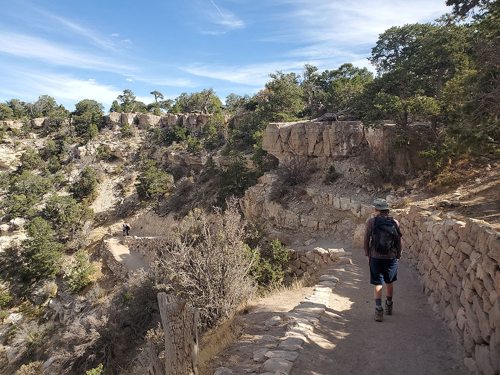
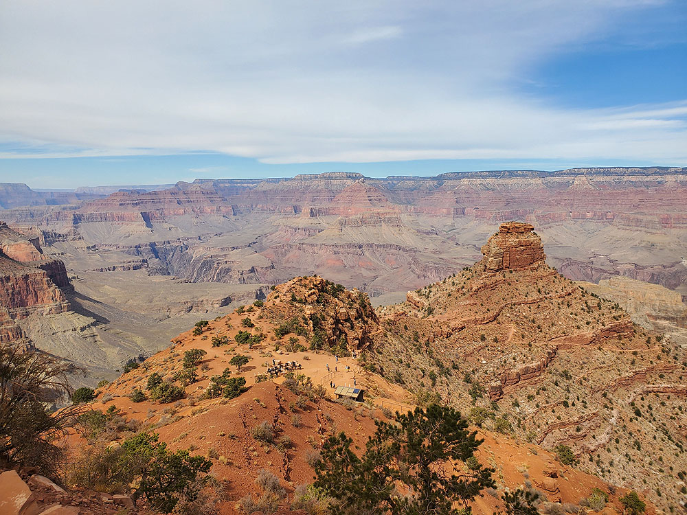
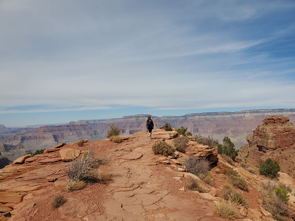
At the bottom of the switchbacks the trail levels out for another half mile of so until it reaches Ooh-Ahh Point. As the name implies, this is where classic views of the Grand Canyon start to open. The elevation here is 6,660 feet, about half the descent of the full hike to Cedar Ridge.
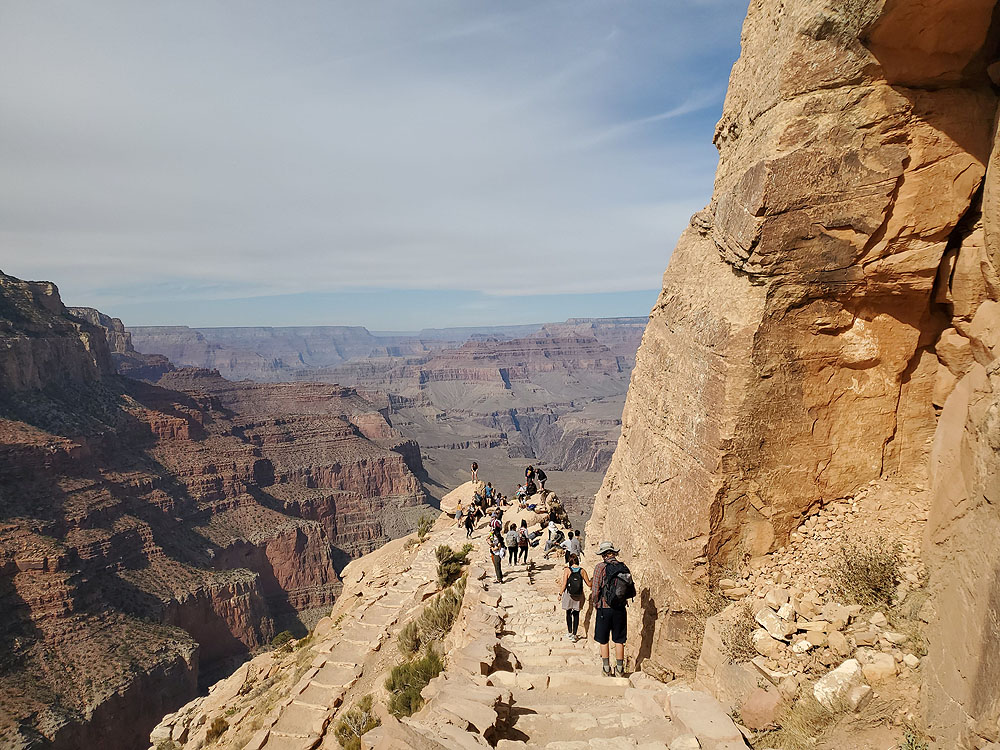
Many visitors turn around at Ooh-Aah Point. For those hiking to Cedar Ridge and further down the crowds will start to thin out the further one walks.
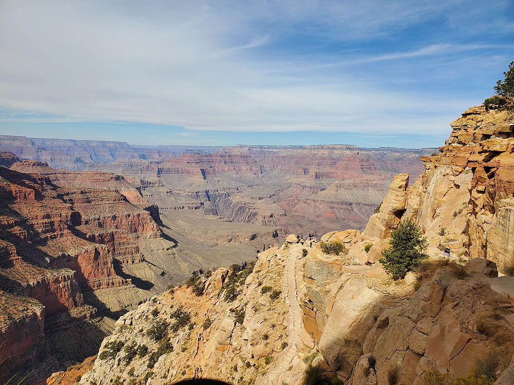
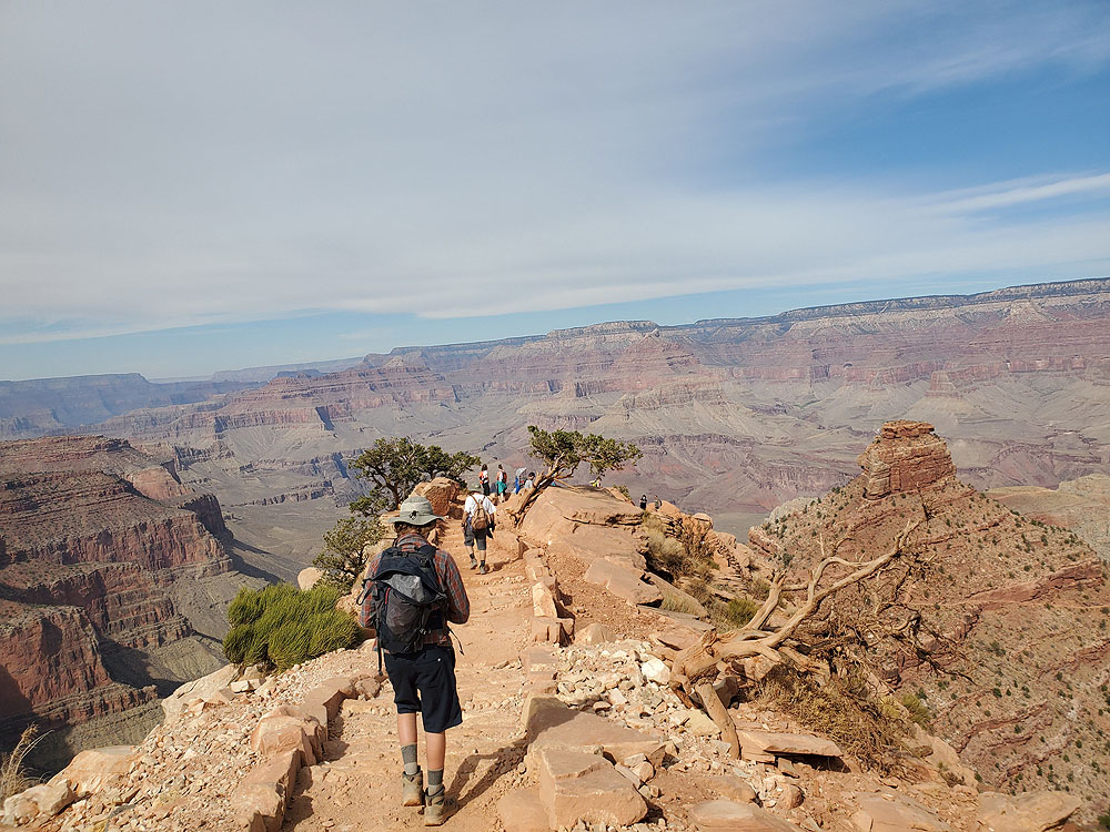
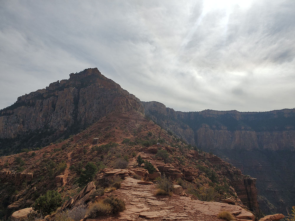
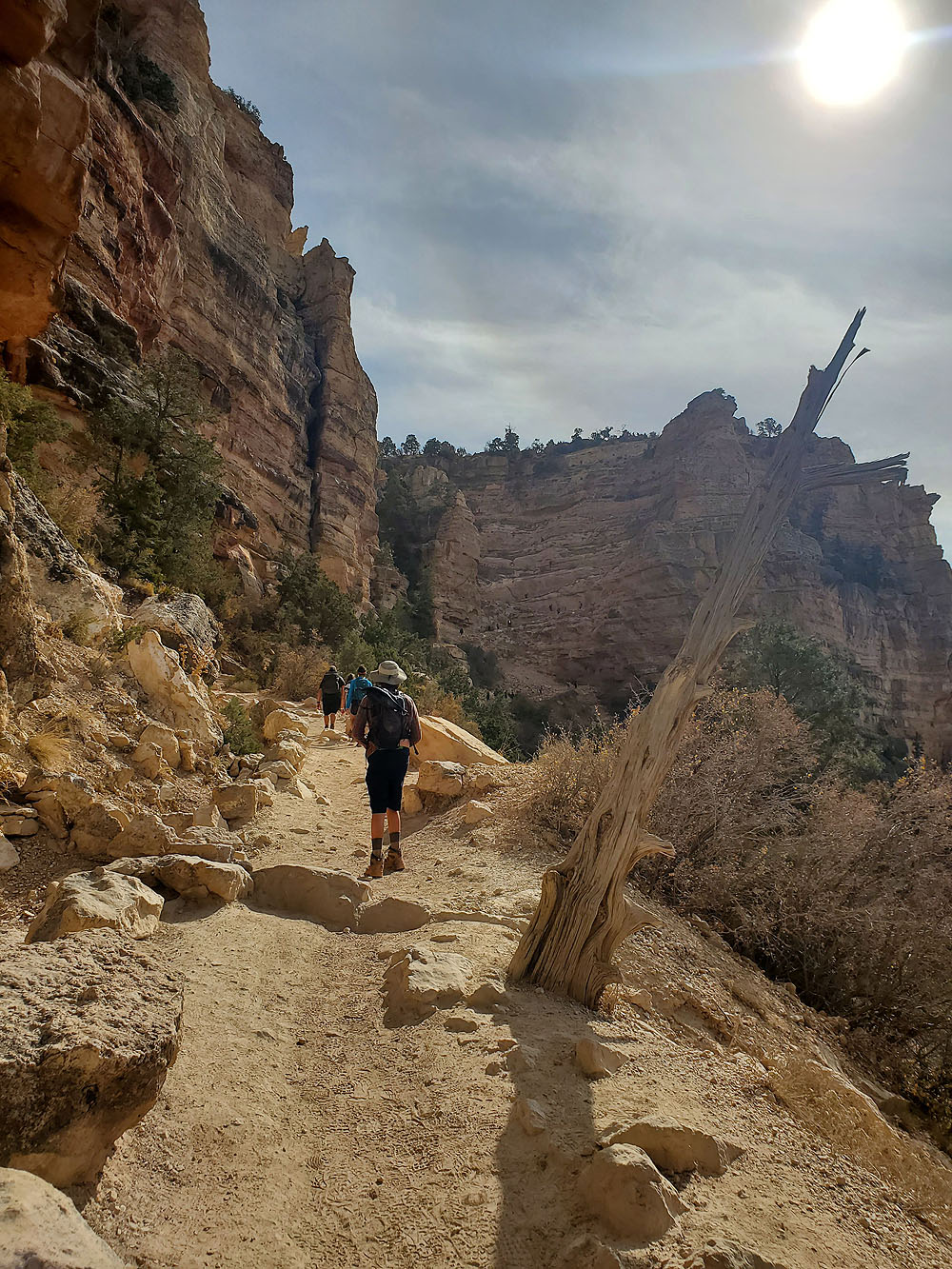
The hike down to Cedar Ridge is along another series of switchback that drop hikers another 500 feet in about half a mile.
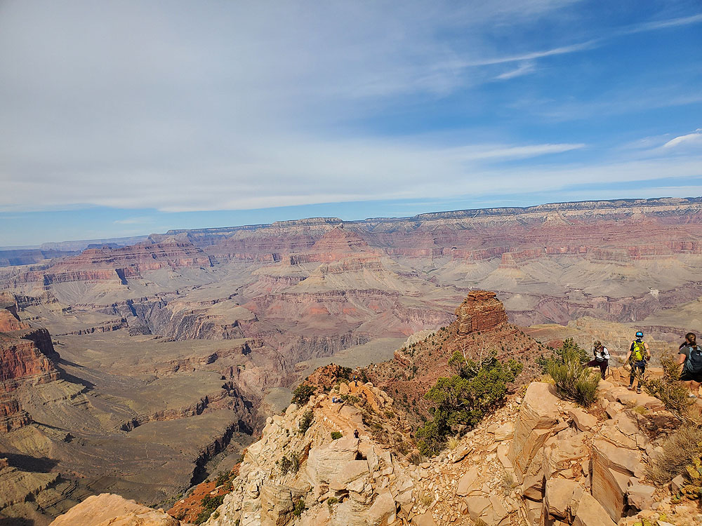
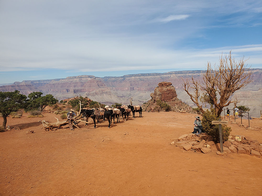
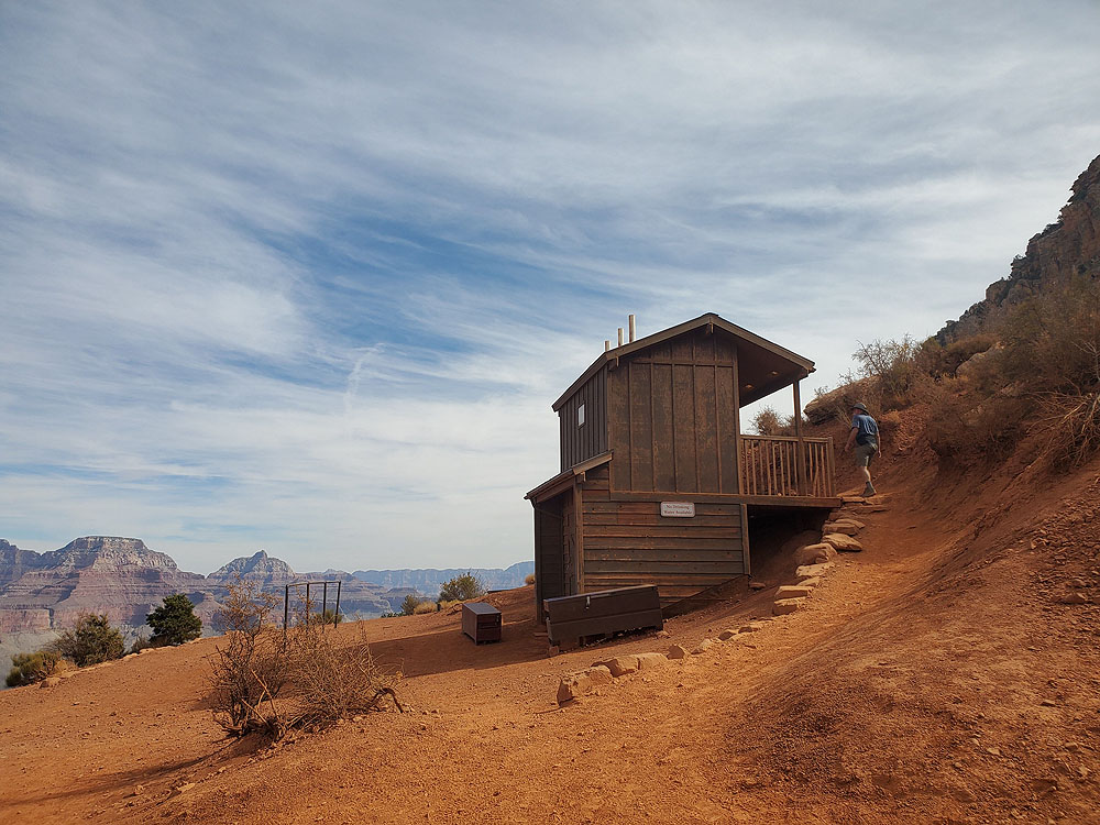
Cedar Ridge is a large open area with rustic restrooms and a hitching post for the mules that take supplies in and out of the canyon.
For hikers looking to continue further the next stop is another 1.5 miles to Skelton Point. This hike is another 1,000 feet in elevation loss and is not recommended for first-time hikers.
Of course, the hike back is the hard uphill part. The most intimidating part is the final section of switchbacks that head up the final 500 feet or so. Luckily the switchbacks are not nearly as bad as they look.
The hike to Cedar Point is a moderate hike for us. However, the high altitude and the reverse nature of the hike, where the uphill portion is at the end, means hikers should be careful going too far. If uncertain it is best to turn around at Ooh-Ahh Point.
It should be noted that we do not go to the Grand Canyon in the summer. The heat and crowds of summer in the park would make us reluctant to tackle a trail like South Kaibab at that time of year.
For visitors looking for a more sedate experience hiking or biking the Rim Trail is a great alternative. On our late 2020 visit to the Grand Canyon half our party did the South Kaibab Trail to Cedar Ridge while the other half rented bikes to ride along the flat Rim Trail.
Our long-term plan is to do a full hike into the canyon, spend the night and start hiking out in the morning. In the meantime, the hike to Cedar Ridge provides a great taste of hiking down the Grand Canyon.