Great Falls Park Hike
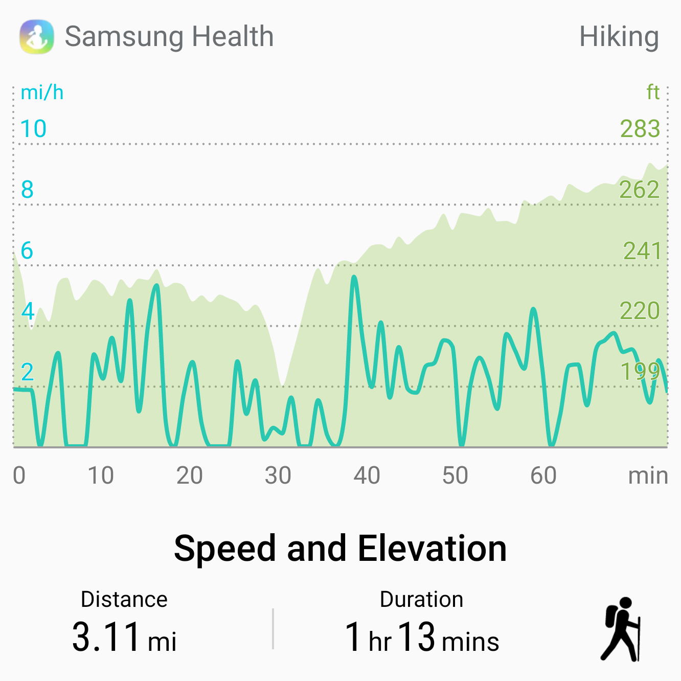
Great Falls National Park is right outside Washinton, D.C. Located along the Potomac River it has some of the best hiking trails in Northern Virginia. This is a guide to an easy three-mile hike we took along the falls in Great Falls Park.
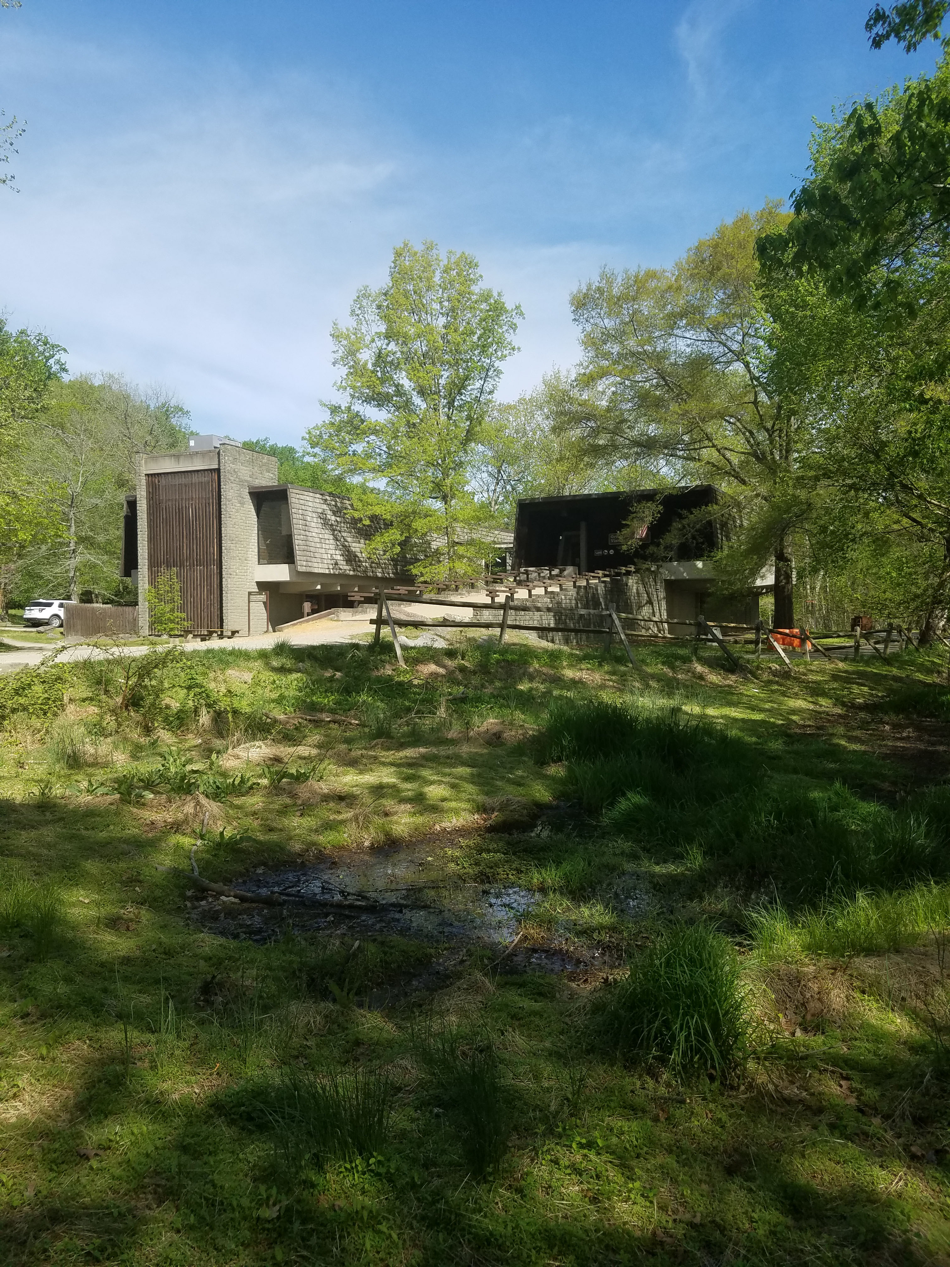
- Starting Point: Great Falls Visitor’s Center, 9200 Old Dominion Dr, McLean, VA 22102
- Length: 3 miles
- Elevation: Flat unless you climb down to the river
- Type: loop
WEBSITE: https://www.nps.gov/grfa/index.htm
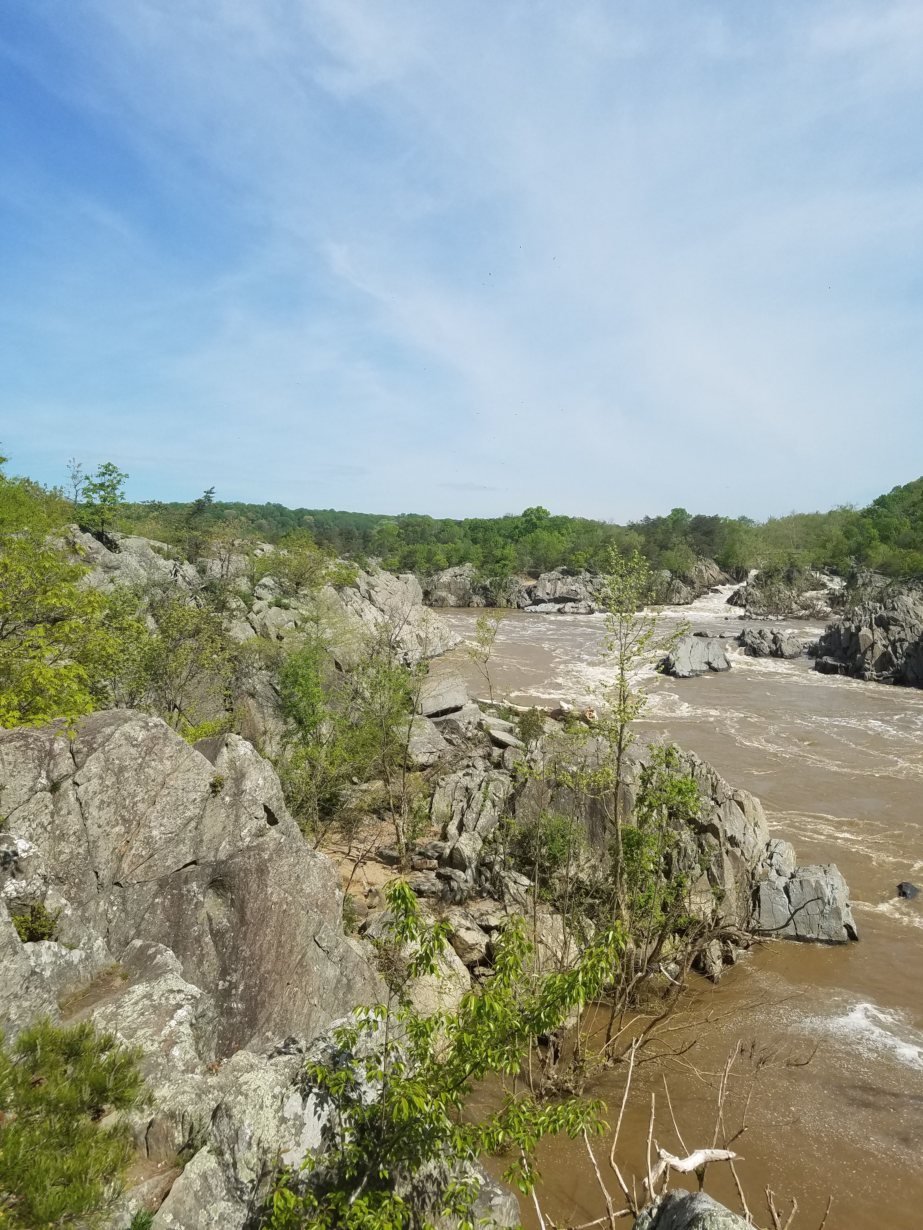
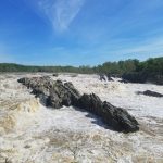
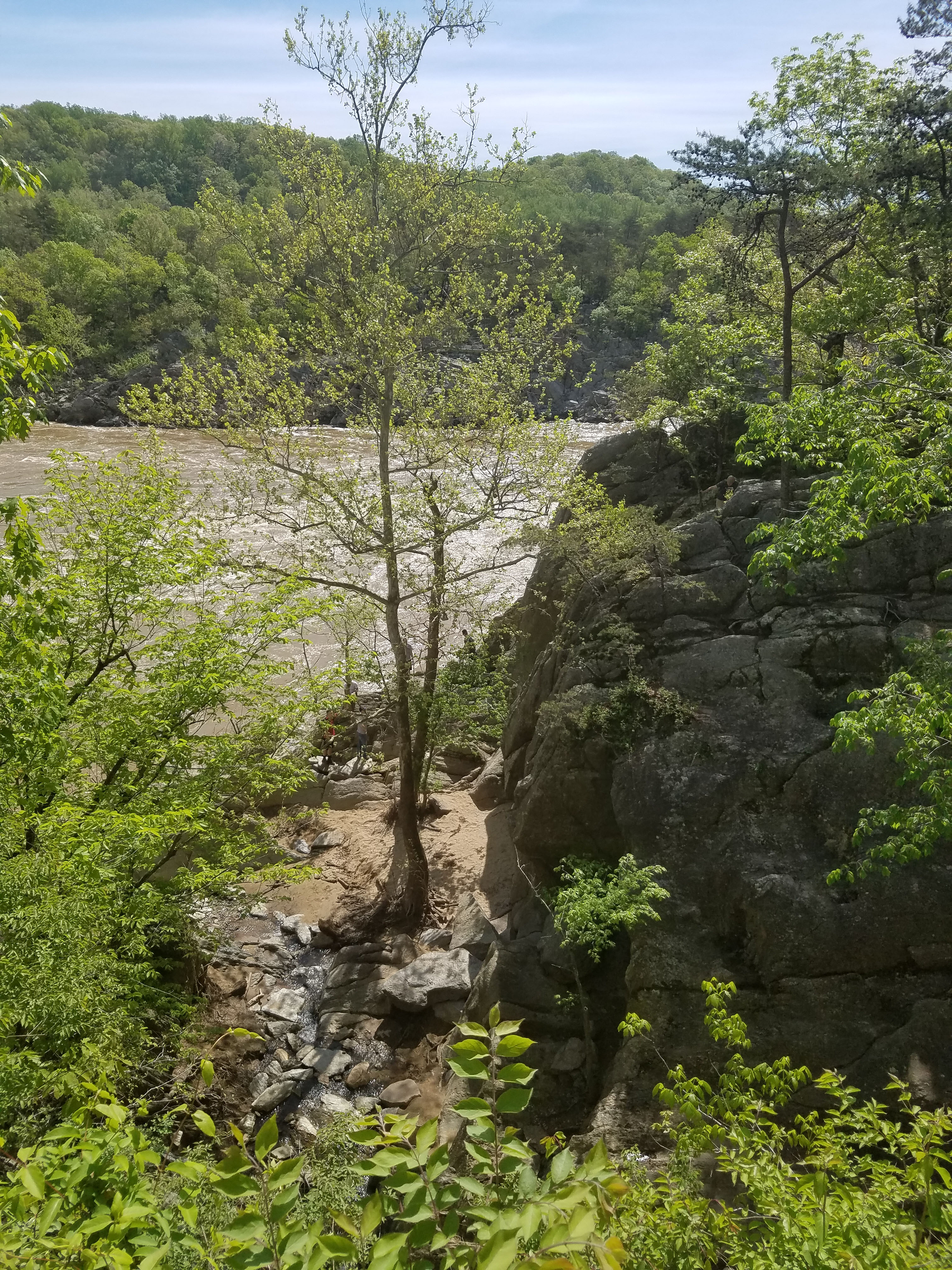
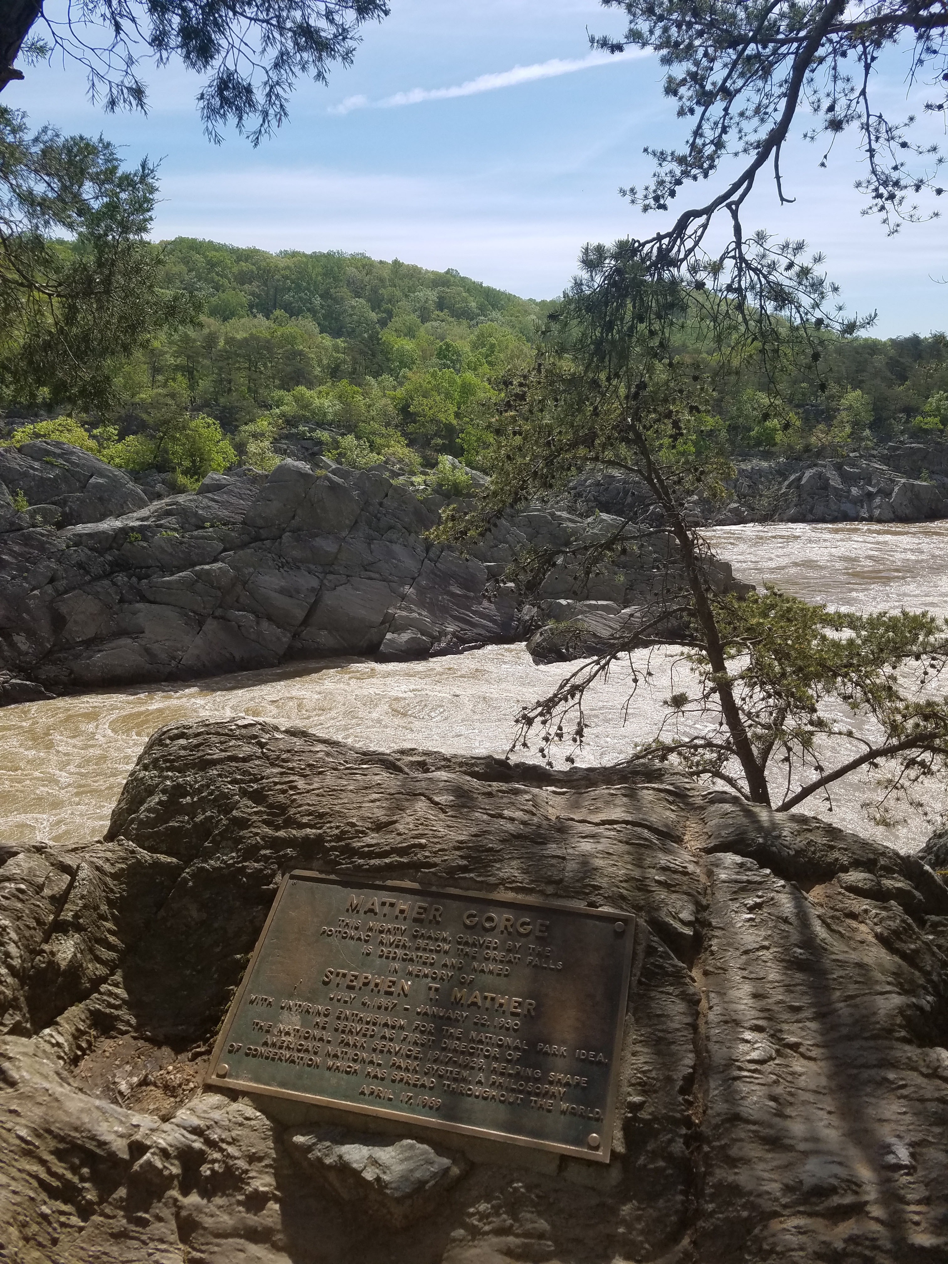
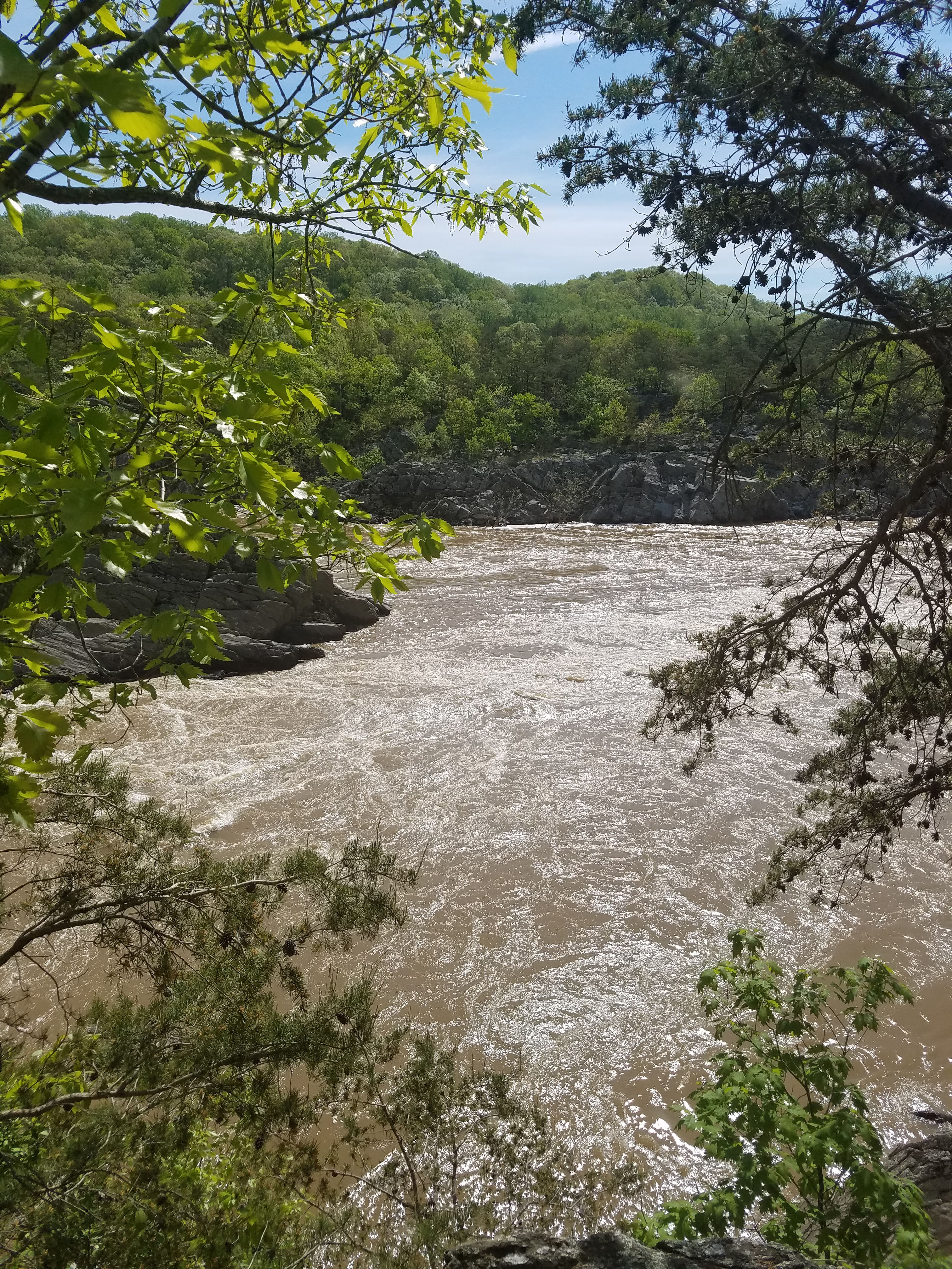
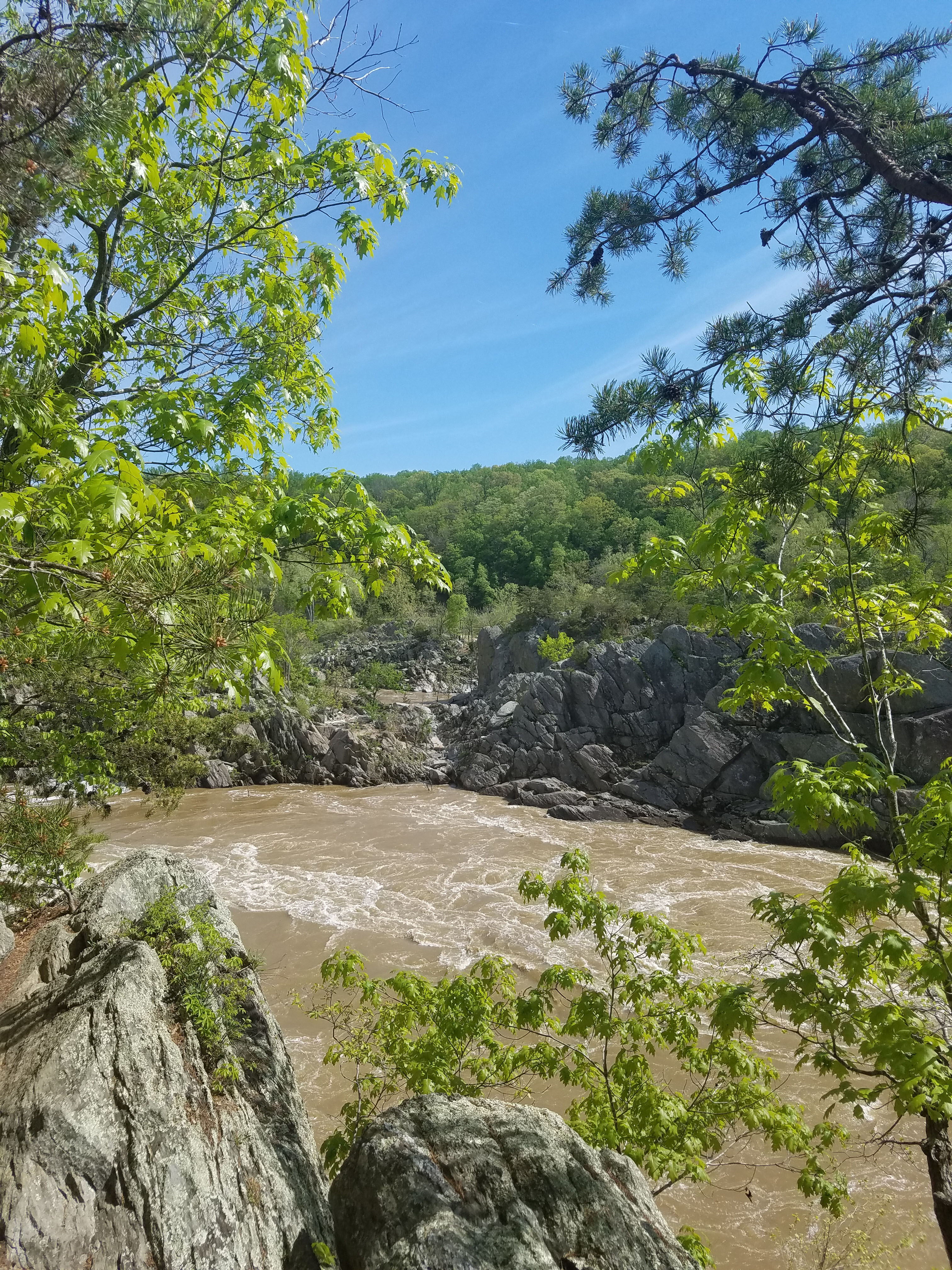
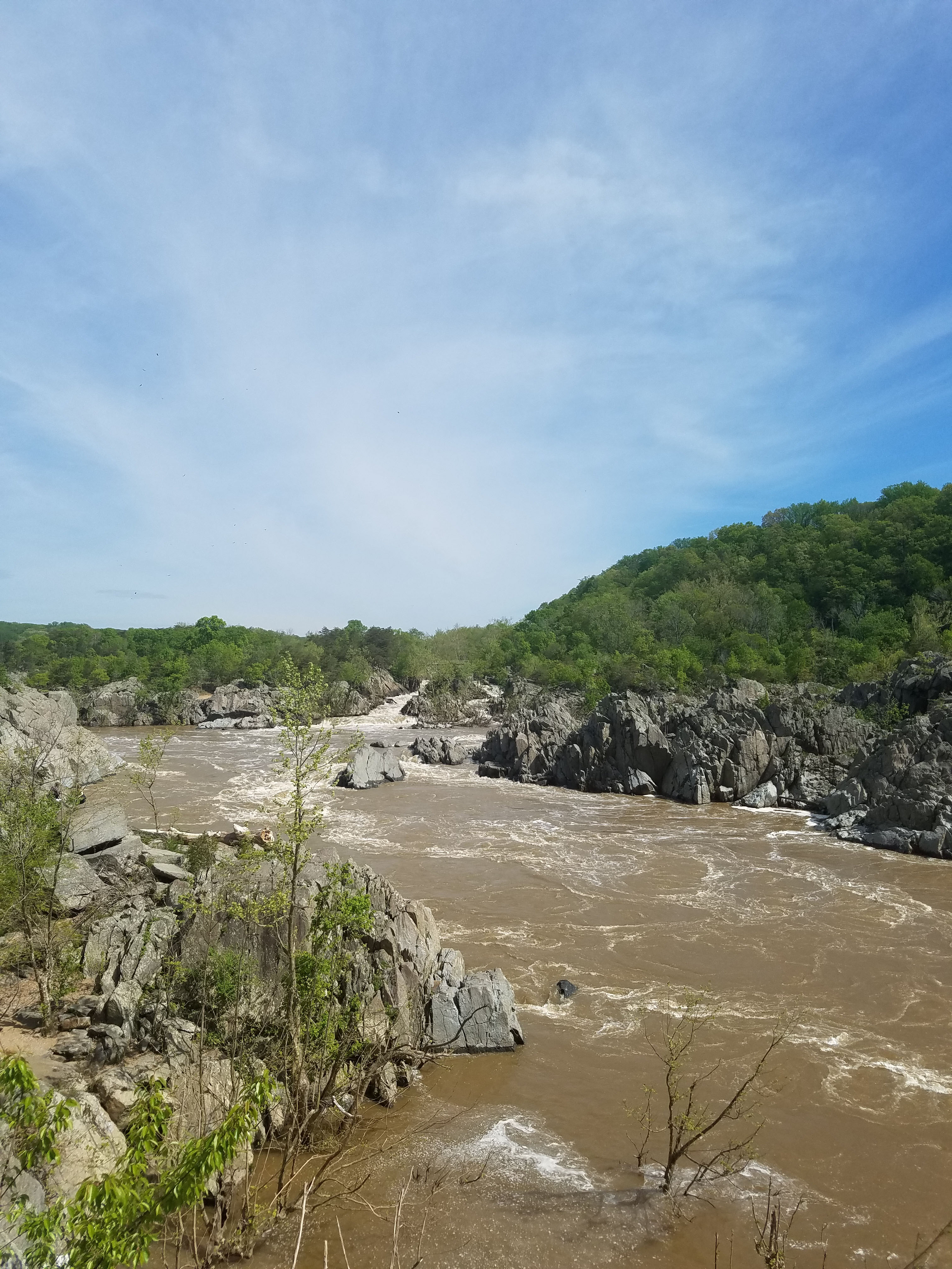
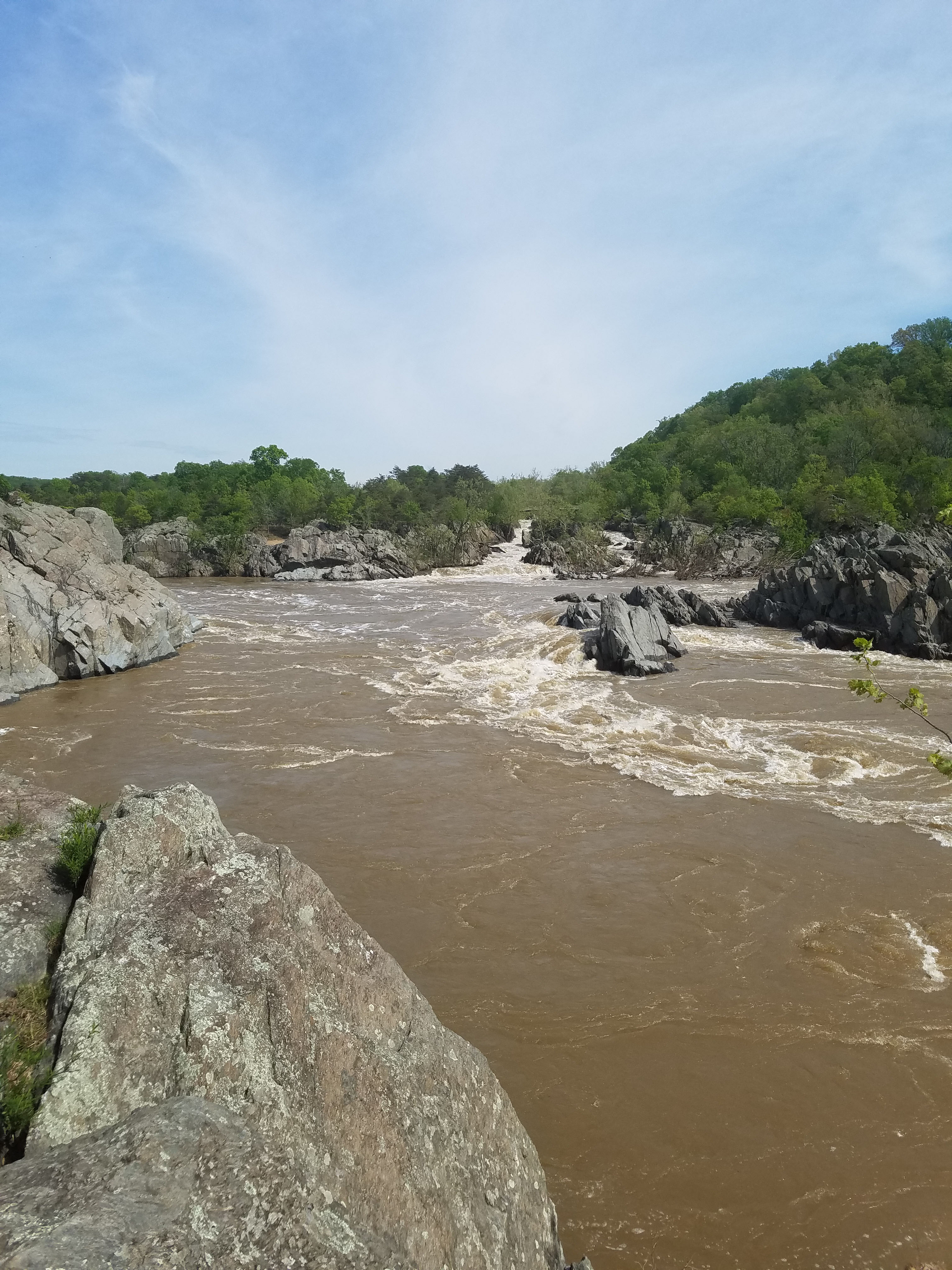
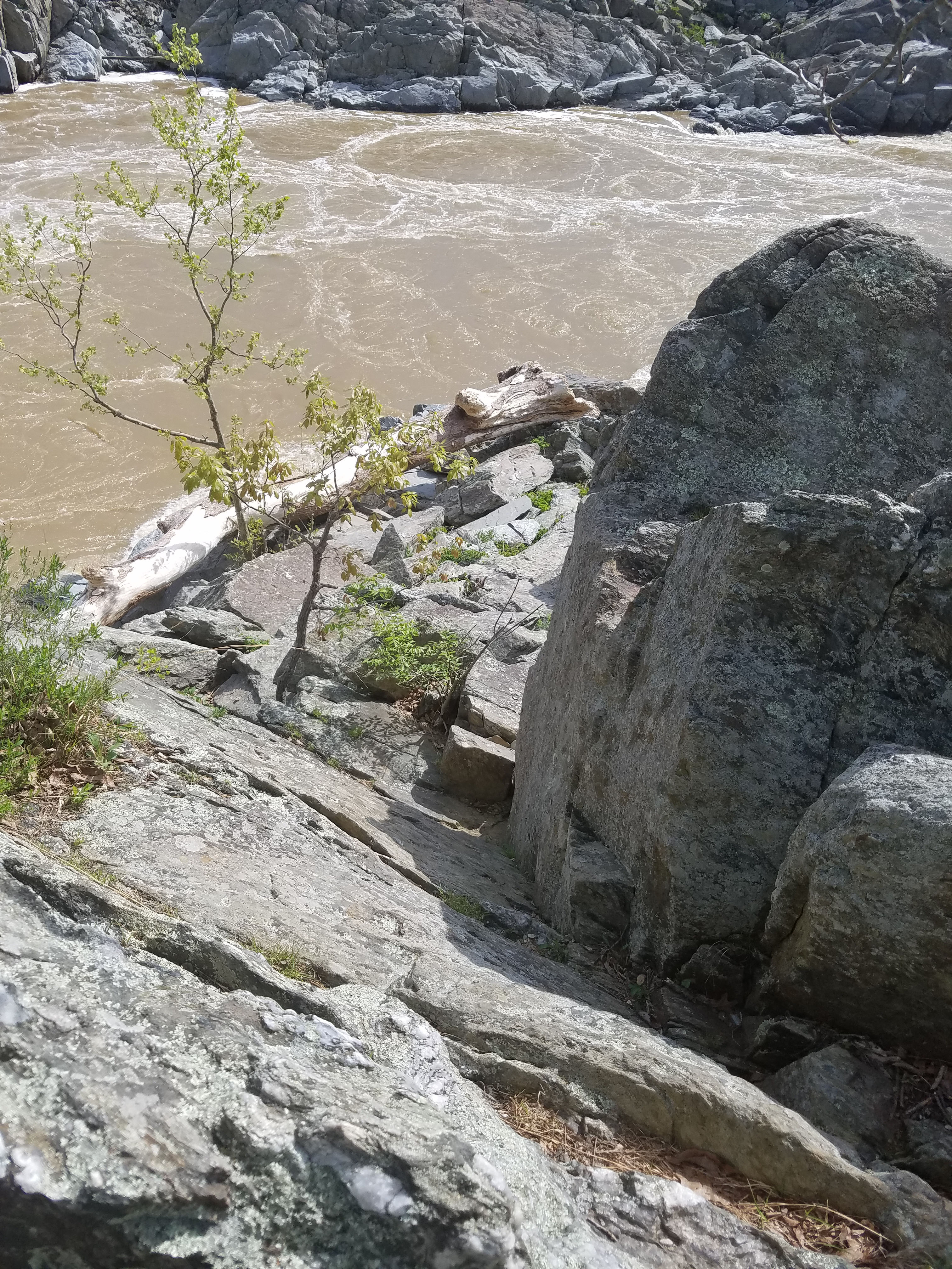
Great Falls is a series of waterfalls located where the Potomac River narrows. Over about a mile, the river drops about 100 feet into an area known as Mather Gorge.
Great Falls National Park is located about a 15 mile drive up the Potomac River from the nation’s capital. At 800 acres, it is fairly small for a national park. However, it feels miles away from the big city and there are some great hiking opportunities.
You can check out our guide to Great Falls National Park here.
We have visited Great Falls National Park many times. On most occasions we have simply gone to the overlook, checked out the falls and left. However, there are 15 miles of hiking trails. As our children grow older we are starting to explore these trails.
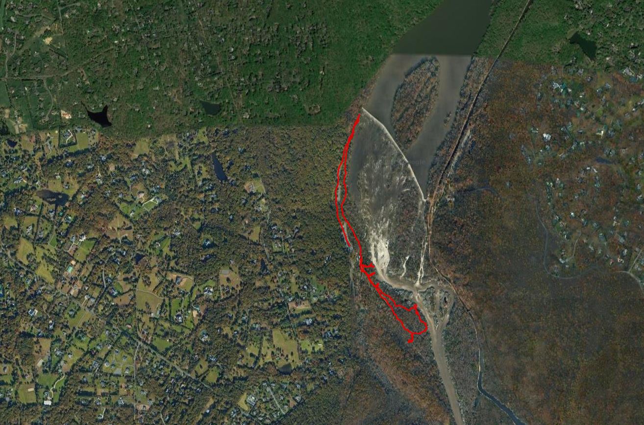
This hike is a basic 3-mile loop that goes from the visitor’s center to Mather Overlook in the south and the dam in the north. It combines portions of the River Trail and the Patowmack Canal Trail.
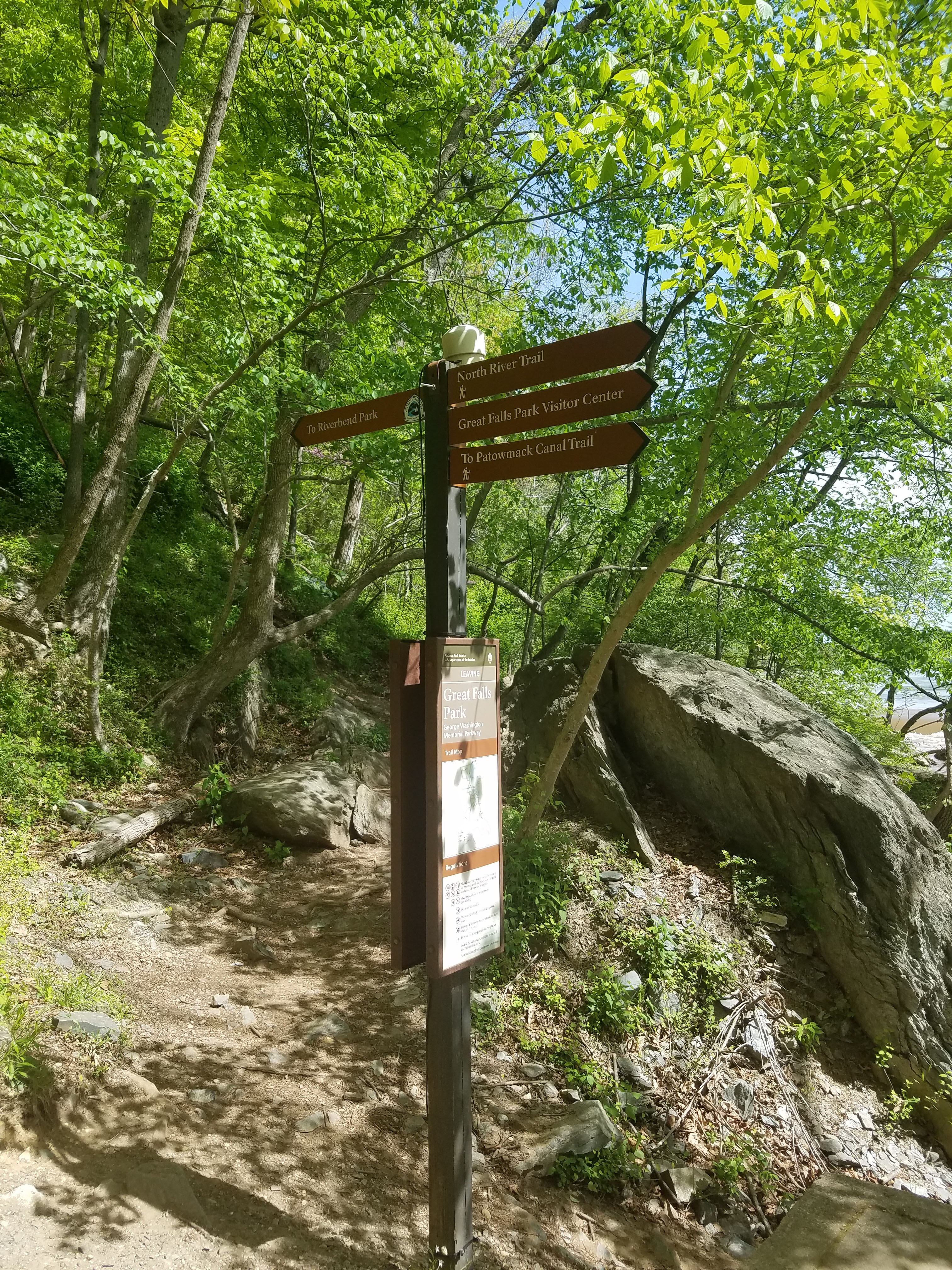
You can check out the full Great Falls National Park trail system with maps here. Note the trail system also links into outside trails. To the north is Riverbend Park. Riverbend Park is operated by Fairfax County and has an additional 10 miles of trails that connect directly to Great Falls. To the south is the Difficult Run. Difficult Run is a 9-mile trail that goes through the Virginia countryside west of Great Falls. This connects into the 40-mile long Fairfax Cross County Trail system.
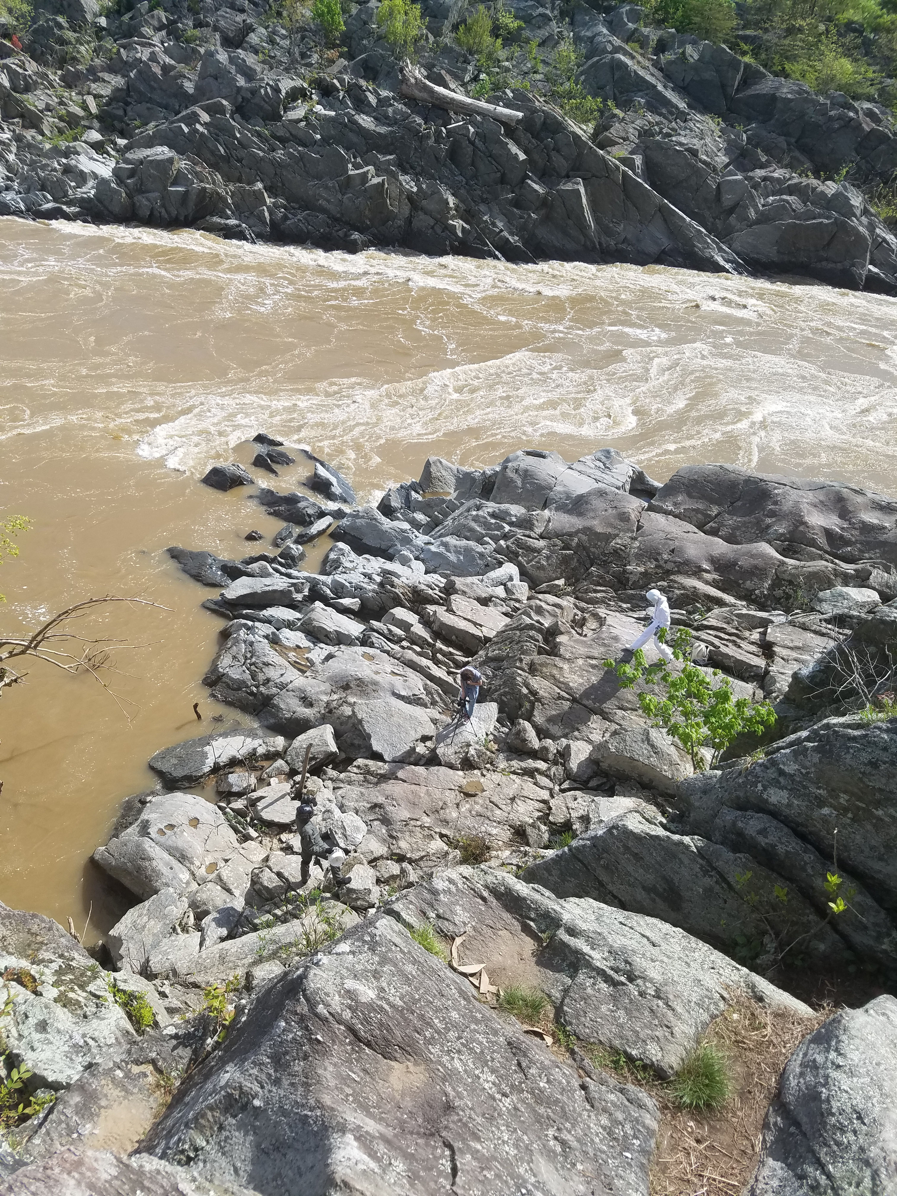
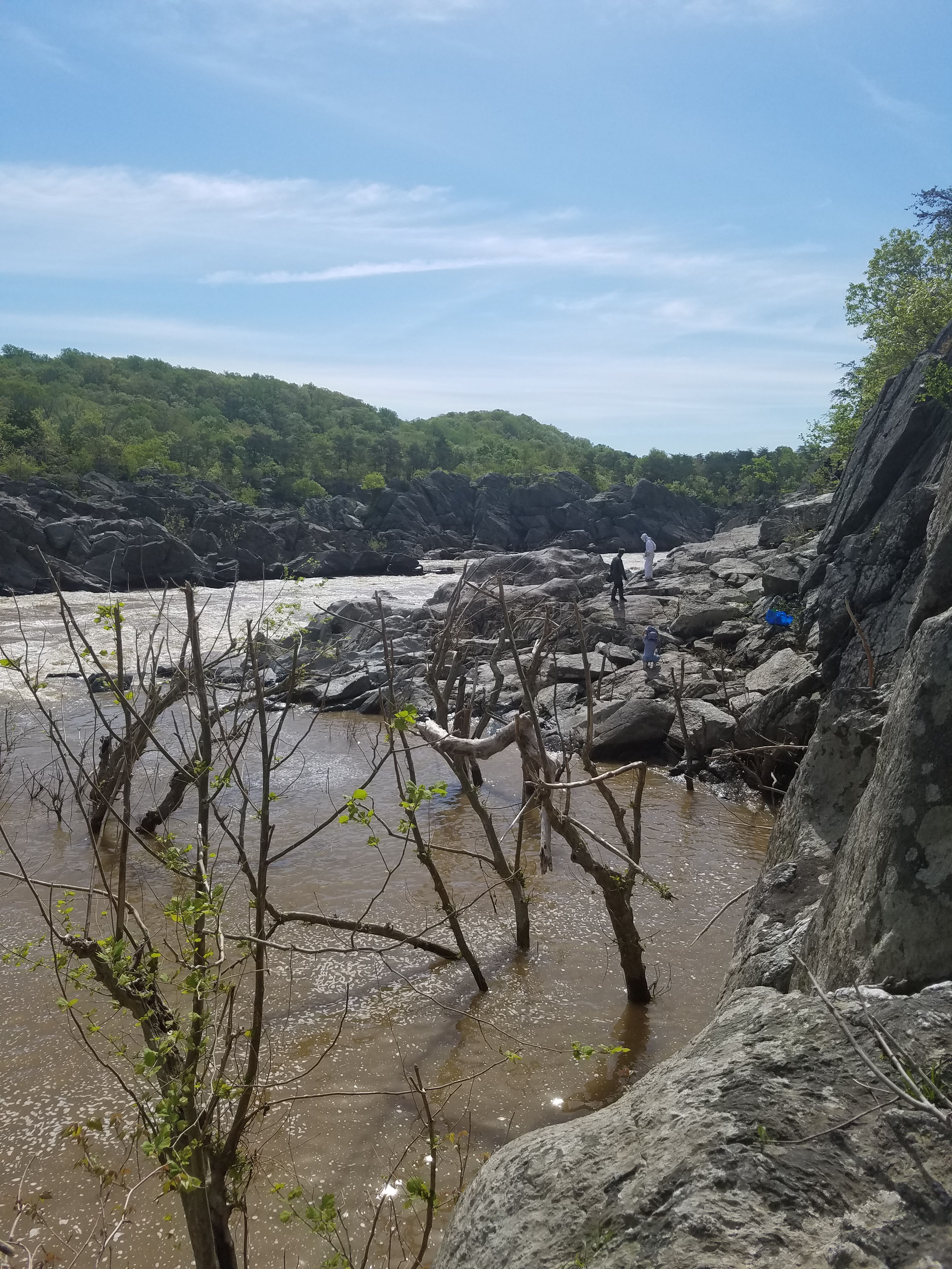
This hike gets most of the scenic views in the park. It is a flat hike but there is plenty of rock scrambling that can be done on the cliffs above the Potomac. Kids love this but caution is necessary, especially when getting near the river.
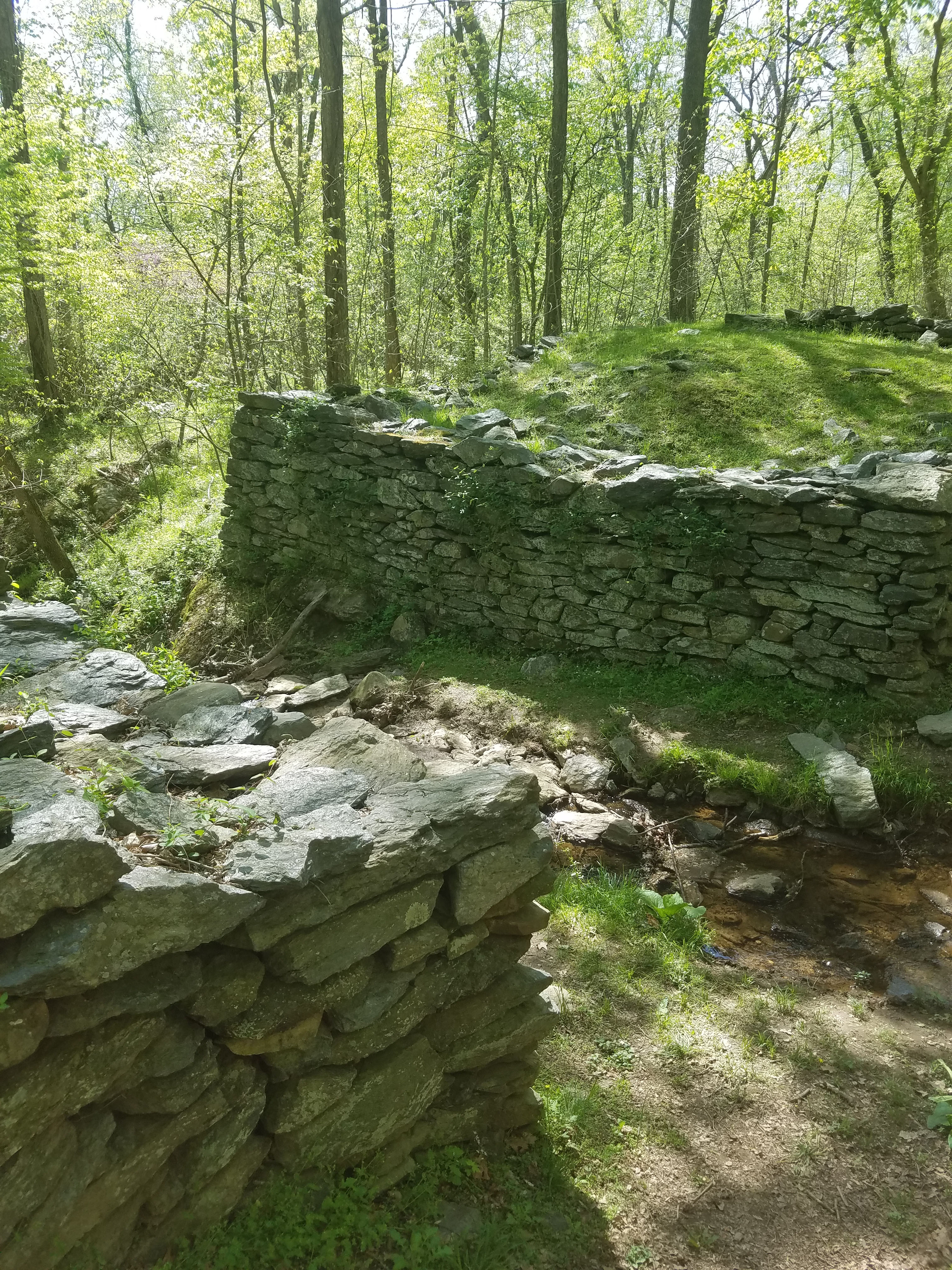
One thing to note, when we visited in April 2019, Patowmack Canal Trail was closed south of Mather Gorge because reconstruction work was being done on the historic canal lock system. We plan to go back when it reopens to map out more hikes.
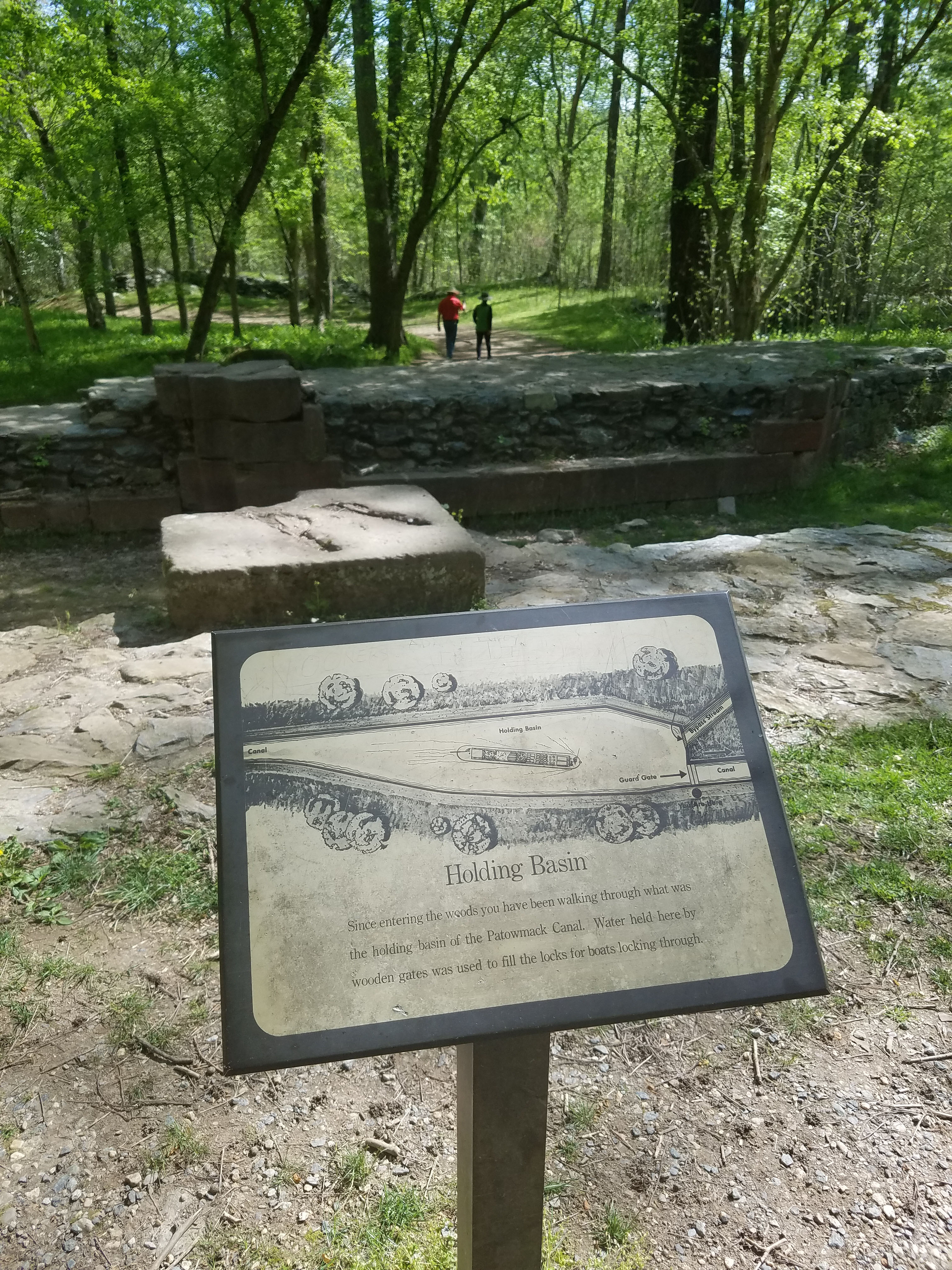
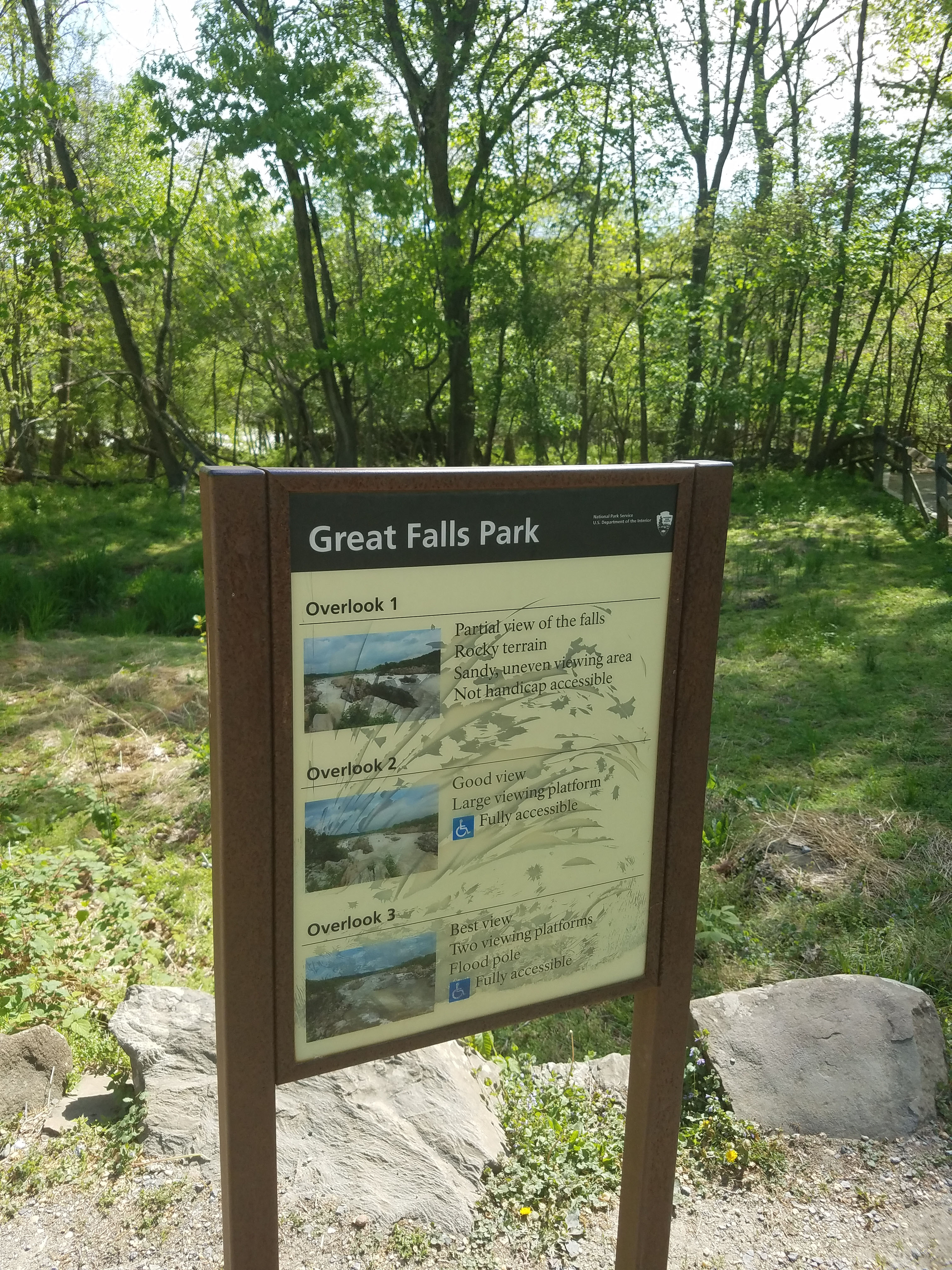
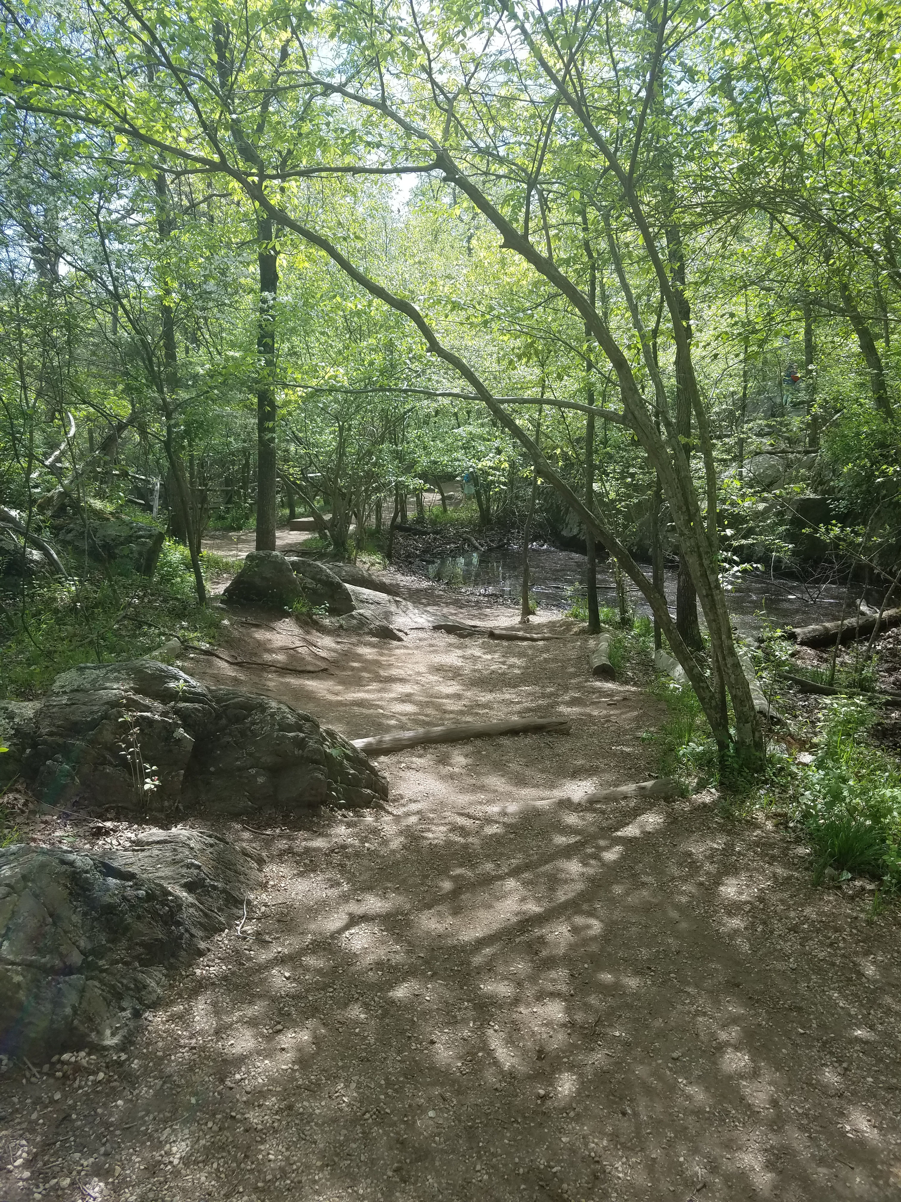
Our hike started directly from the visitor’s center. We headed and of course stopped at each of the 3 Great Falls overlooks. From there we continued a short distance along Patowmack Canal Trail until where it was closed because of the construction to restore canal ruins.
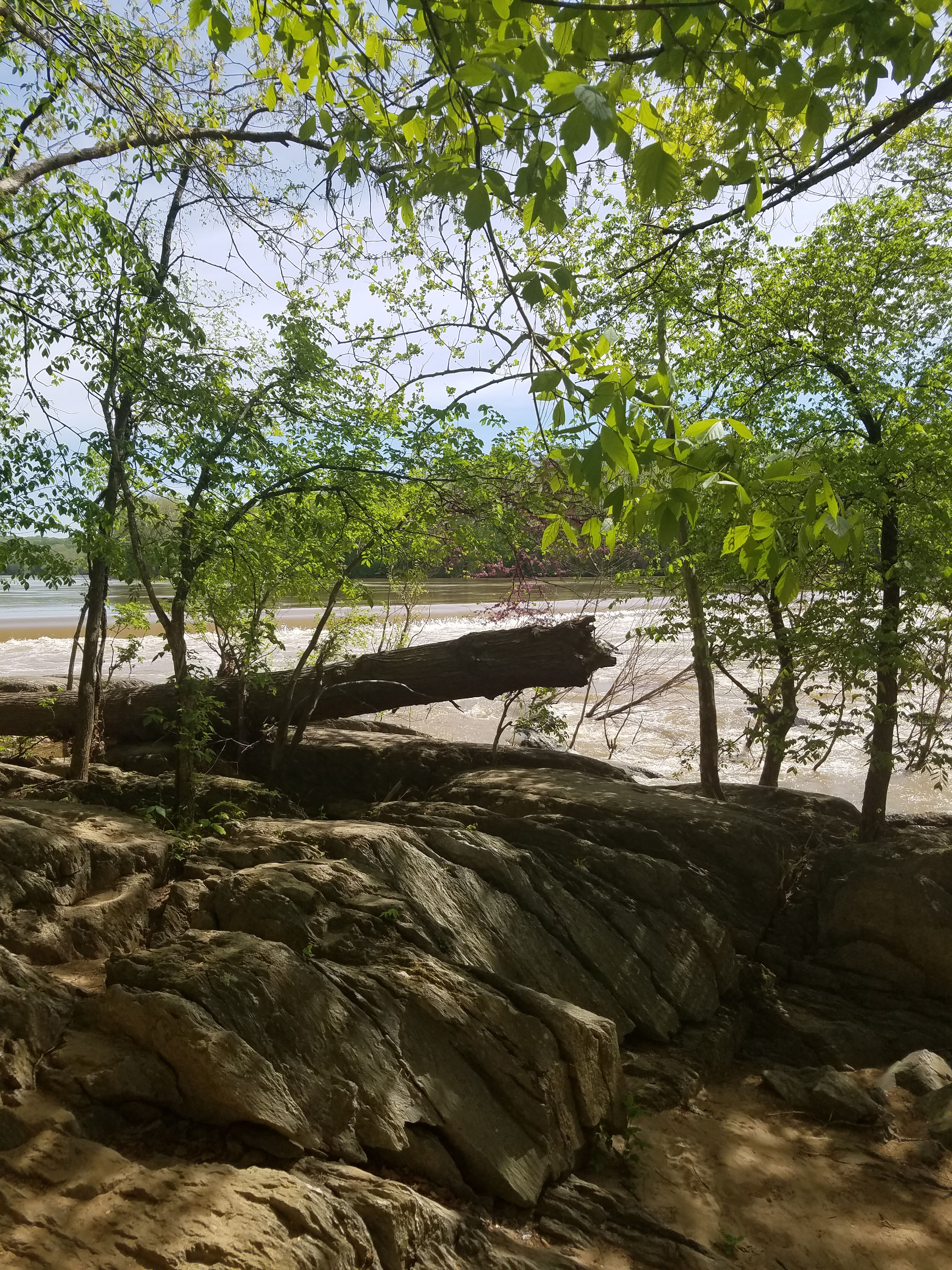
At this point we looped back along River Trail to Mather Overlook. This overlooks the Mather Gorge. This is the narrow end of the river at the bottom of Great Falls.
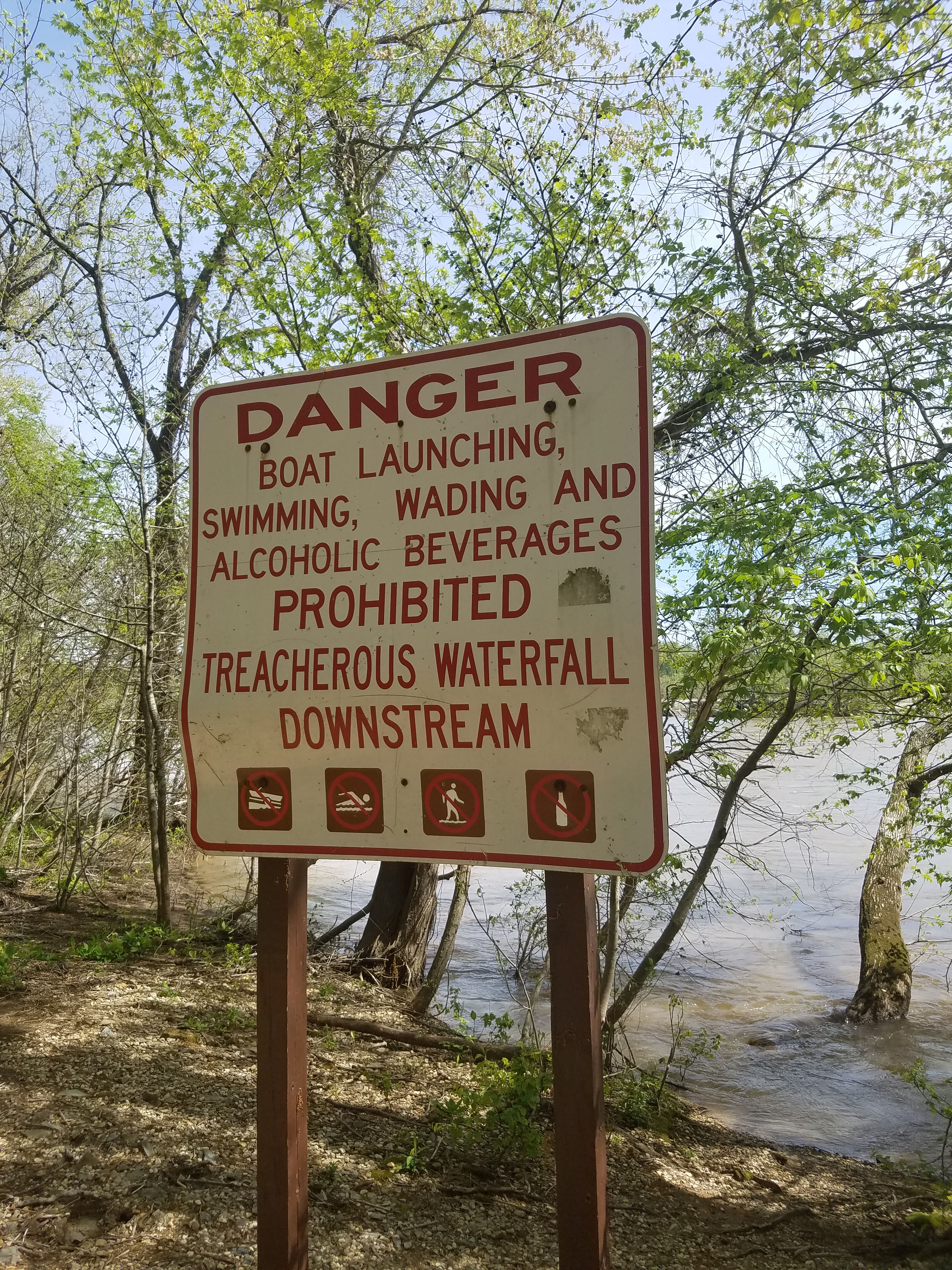
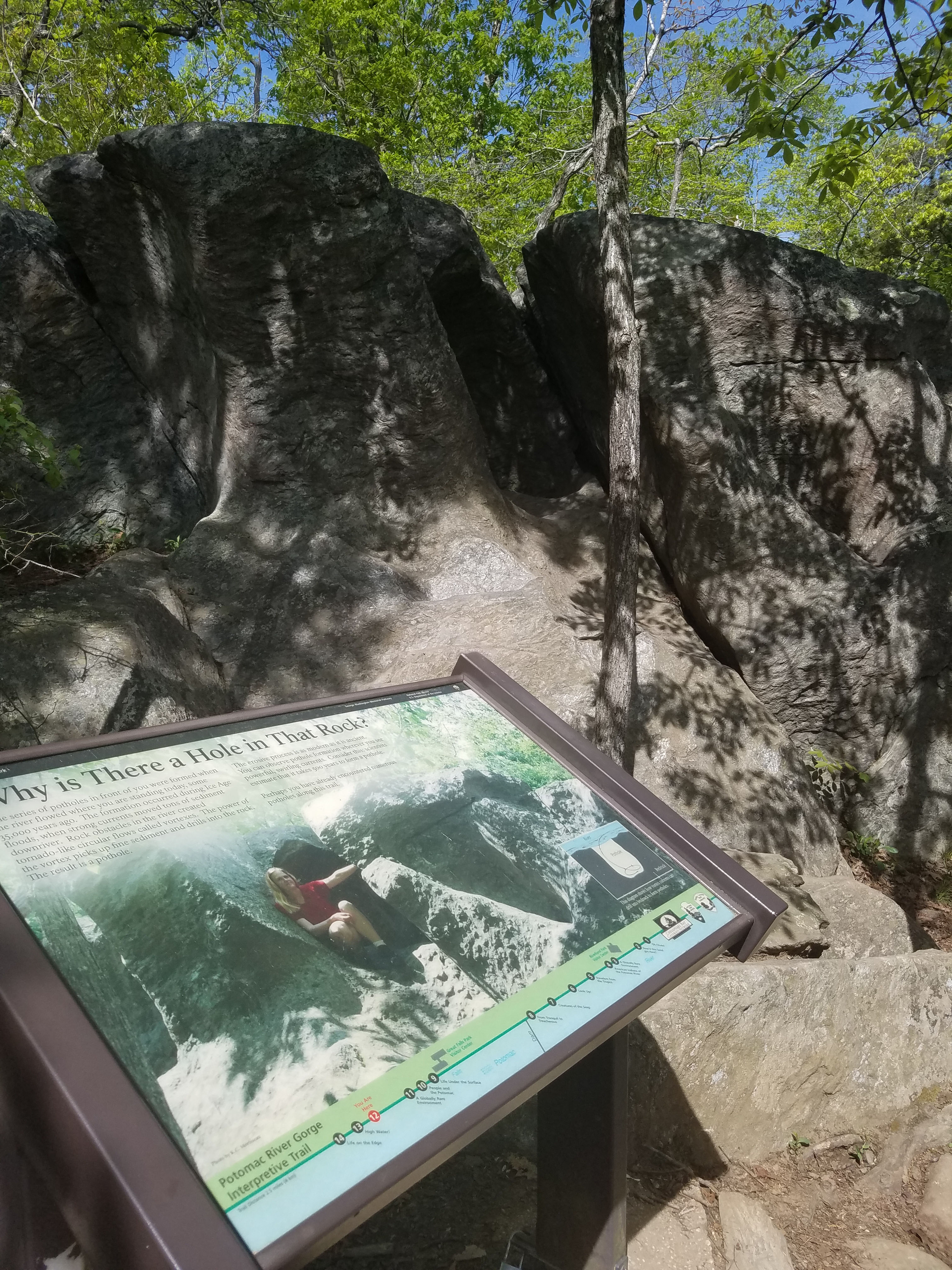
Heading back along River Trail there is opportunity to climb on the rocks and go down towards the river. However, this can be dangerous especially for little kids. Just use caution.
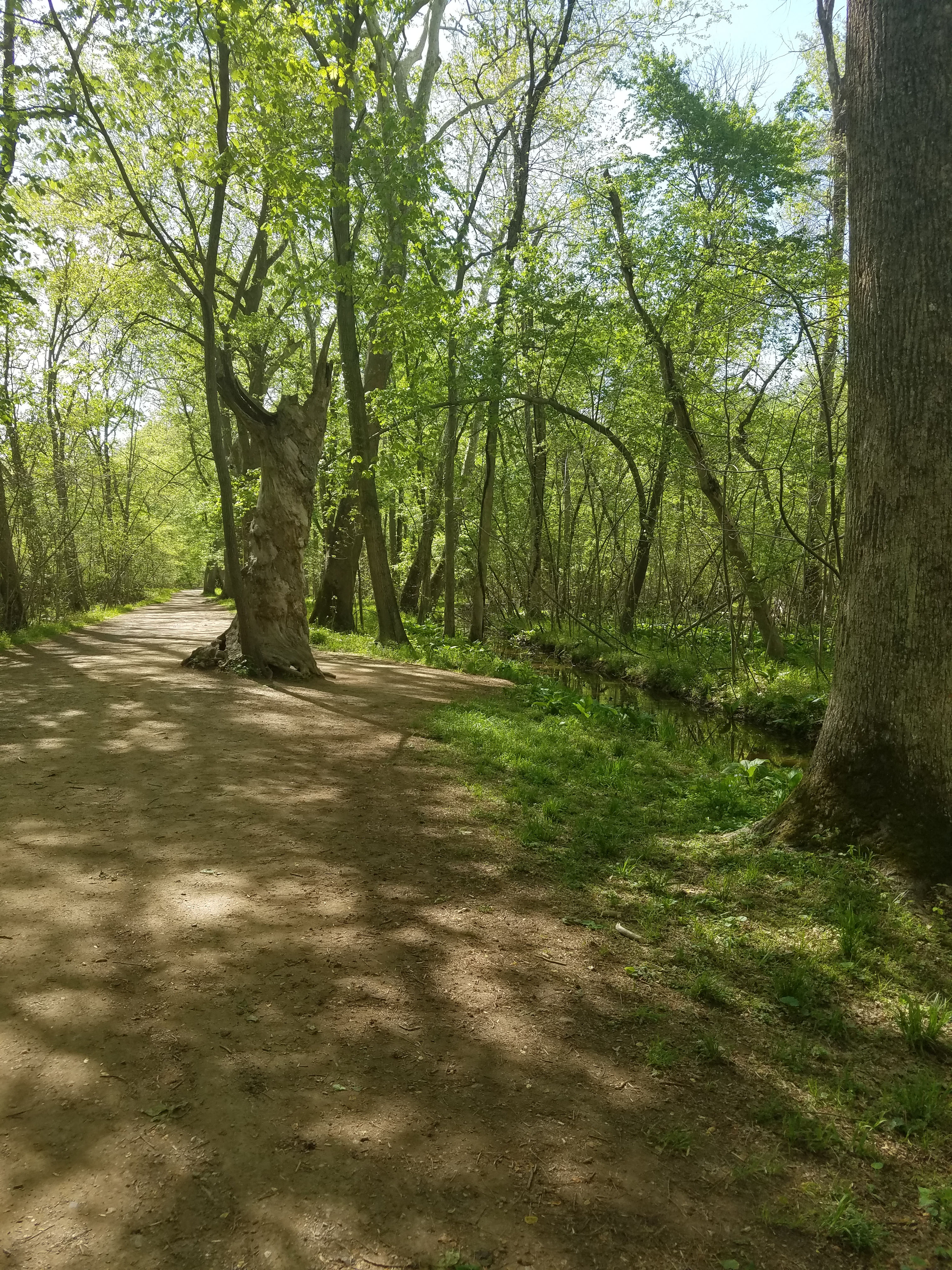
After a short loop the River Trail meets back up with Patowmack Canal Trail. We headed back the way we came to the visitor’s center and continued north along the trail. This parallels the river and eventually becomes the North River Trail.
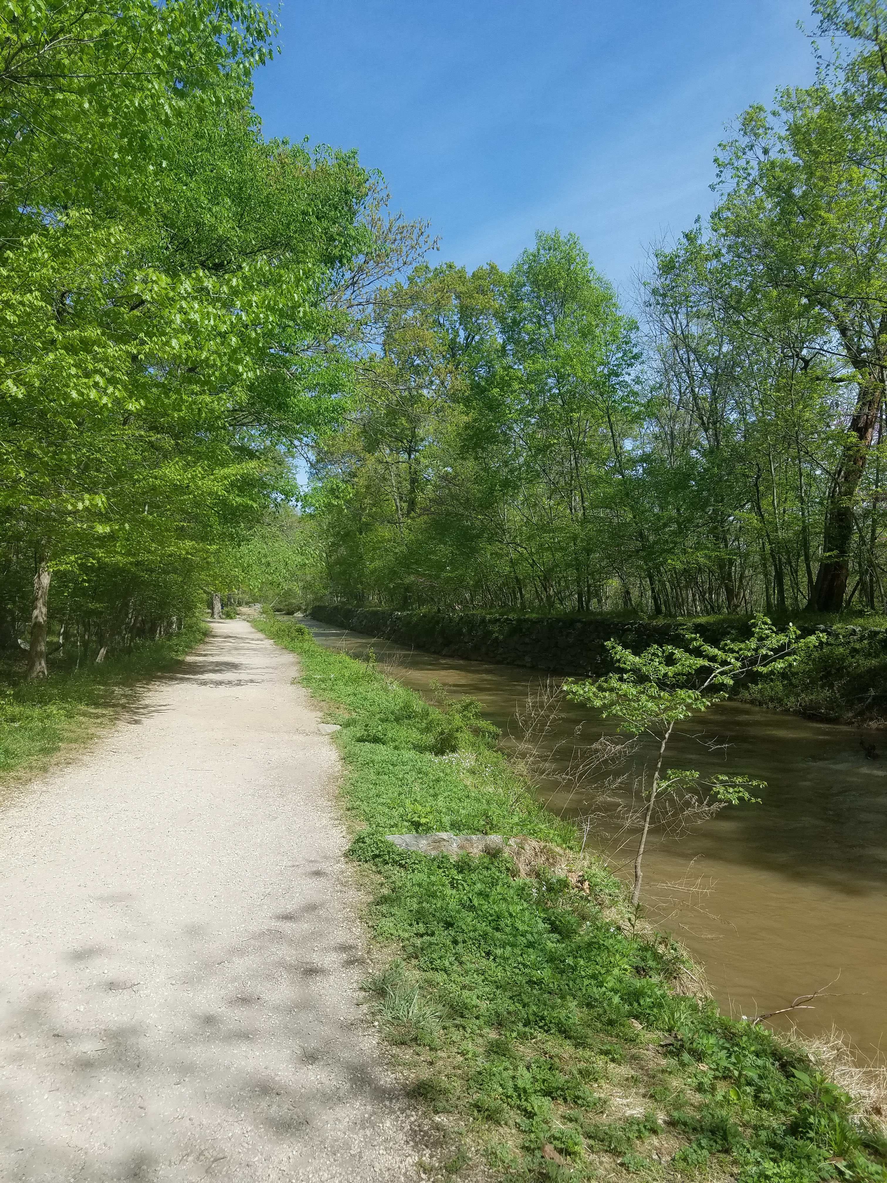
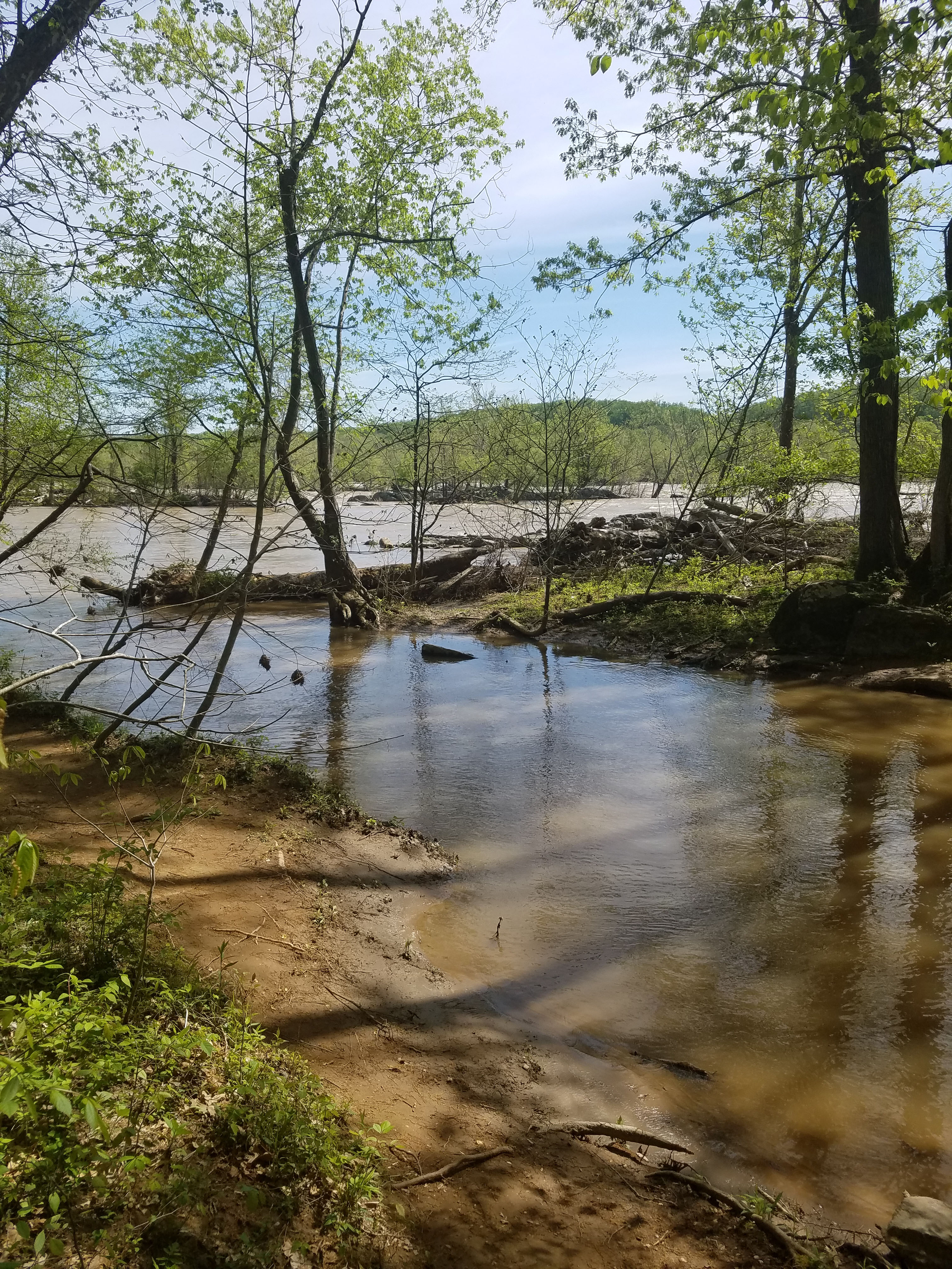
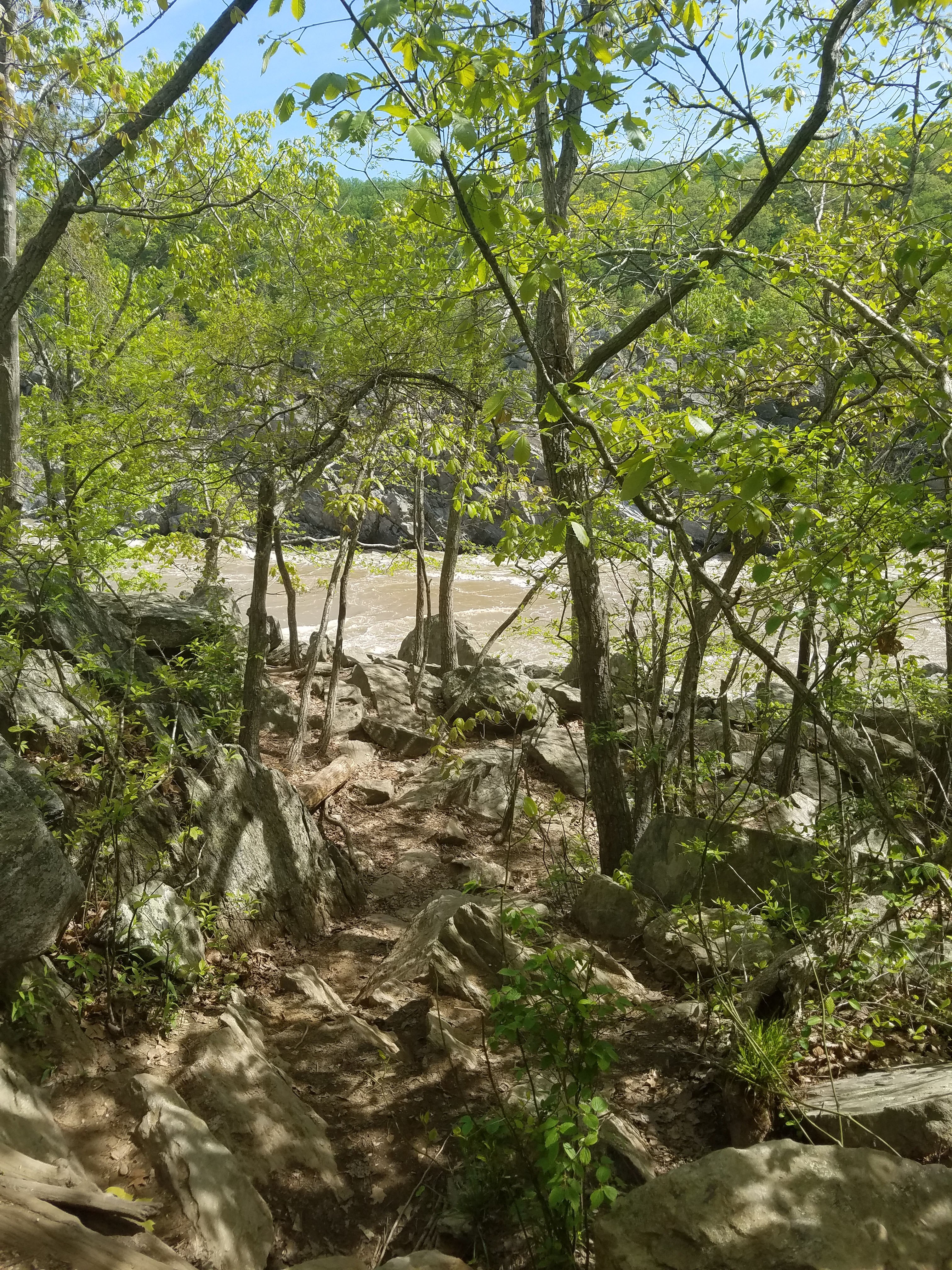
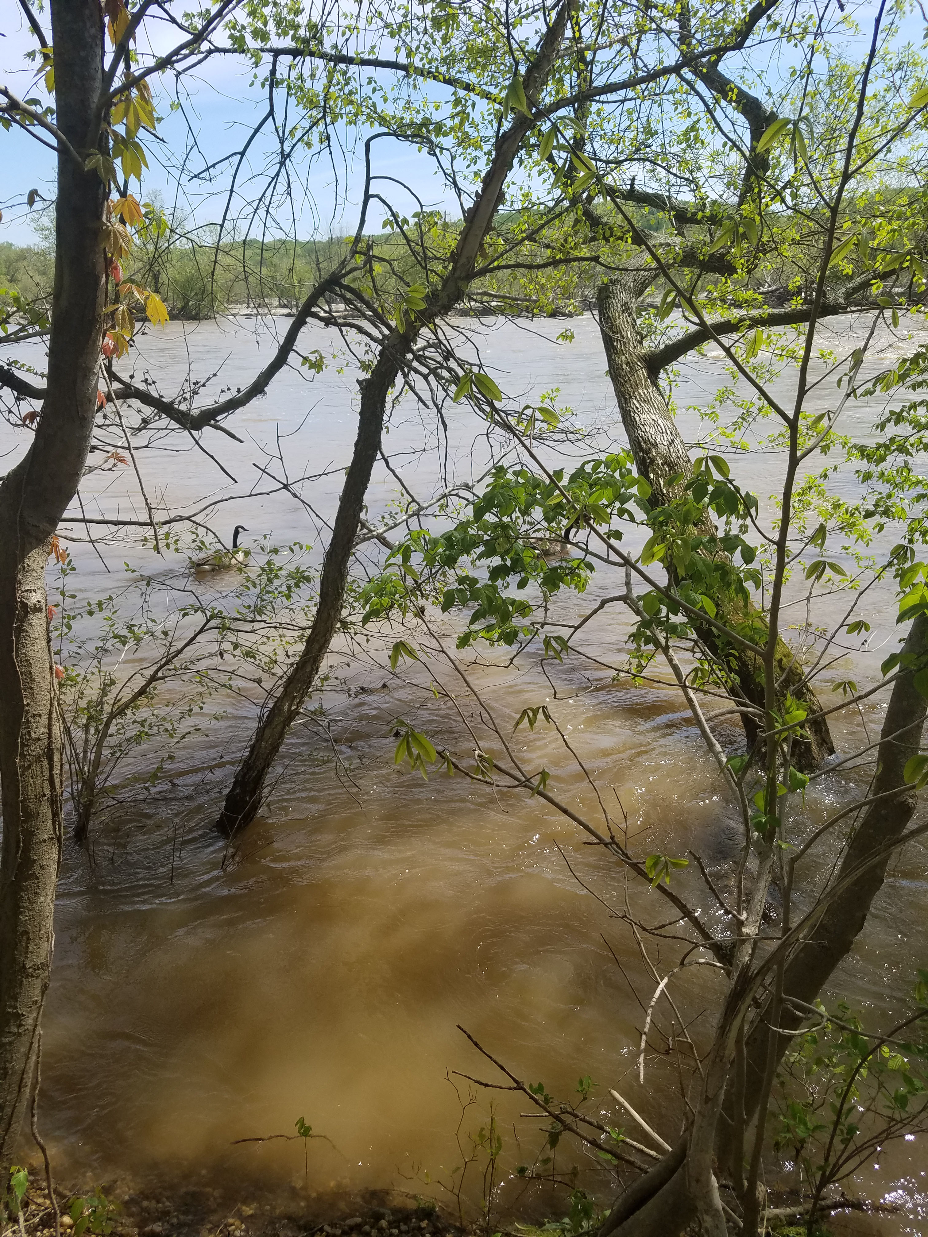
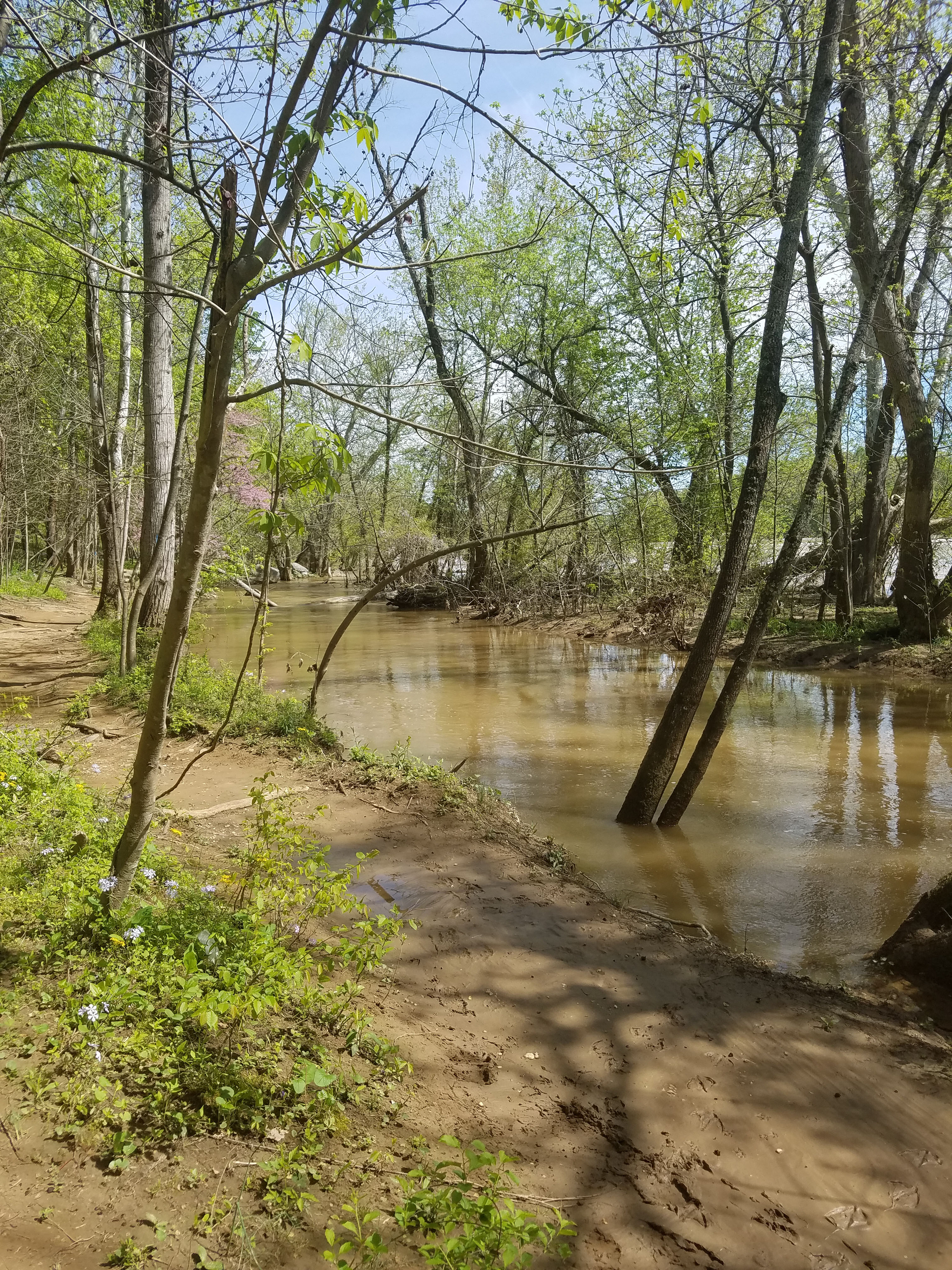
At this point you are above the falls and walking directly along the river. There are some fairly rocky and muddy portions along the trail. I imagine it would be pretty messy after a big rain. Great Falls Nation Park ends at the aqueduct dam above Great Falls. We turned around but trails continue north into Riverbend Park. Riverbend Park is operated by Fairfax County and has 10 miles of trails.
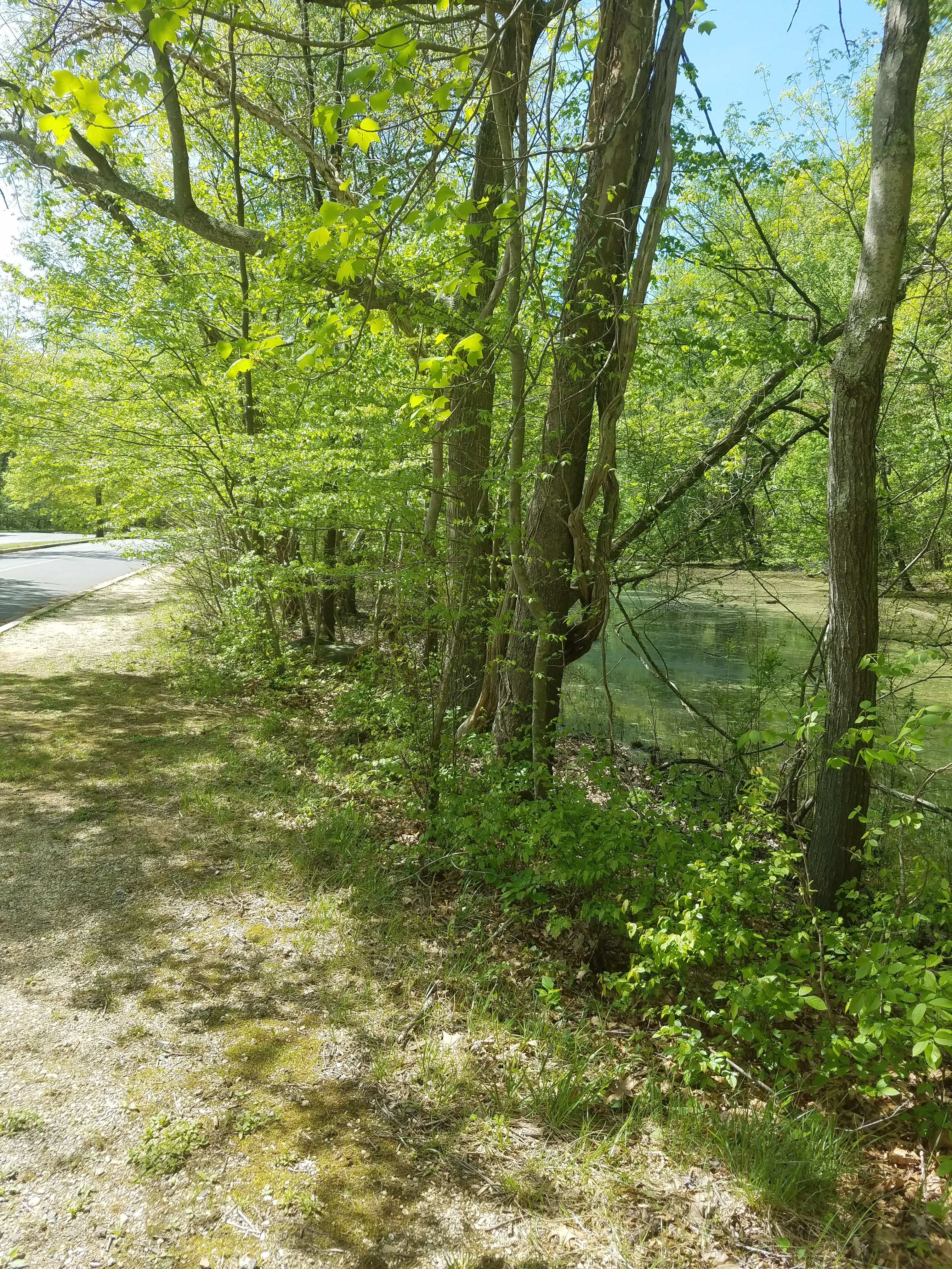
Heading back, we split off slightly to the right through the upper parking lot. This gave us a chance to view Clay Pond. This is small pond directly off the parking lot. From here we ended up at our car in the parking lot by the visitor center.


One Comment
Comments are closed.