San Diego Hikes: Black Mountain Service Road
If Black Mountain were 40 feet taller it would be the highest point in the city of San Diego. As it is, it must settle for second place behind Cowles Mountain. However, unlike Cowles Mountain, Black Mountain remains relatively uncrowded. There are numerous ways to get to the top, but one of the least crowded is taking the Black Mountain Service Road to the Top.
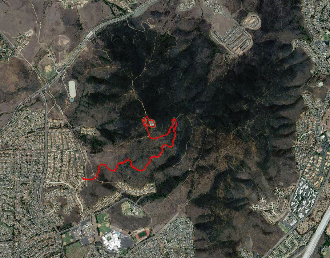
- Starting Point: Laurentian Dr and Mediatrice Ln, San Diego 92129
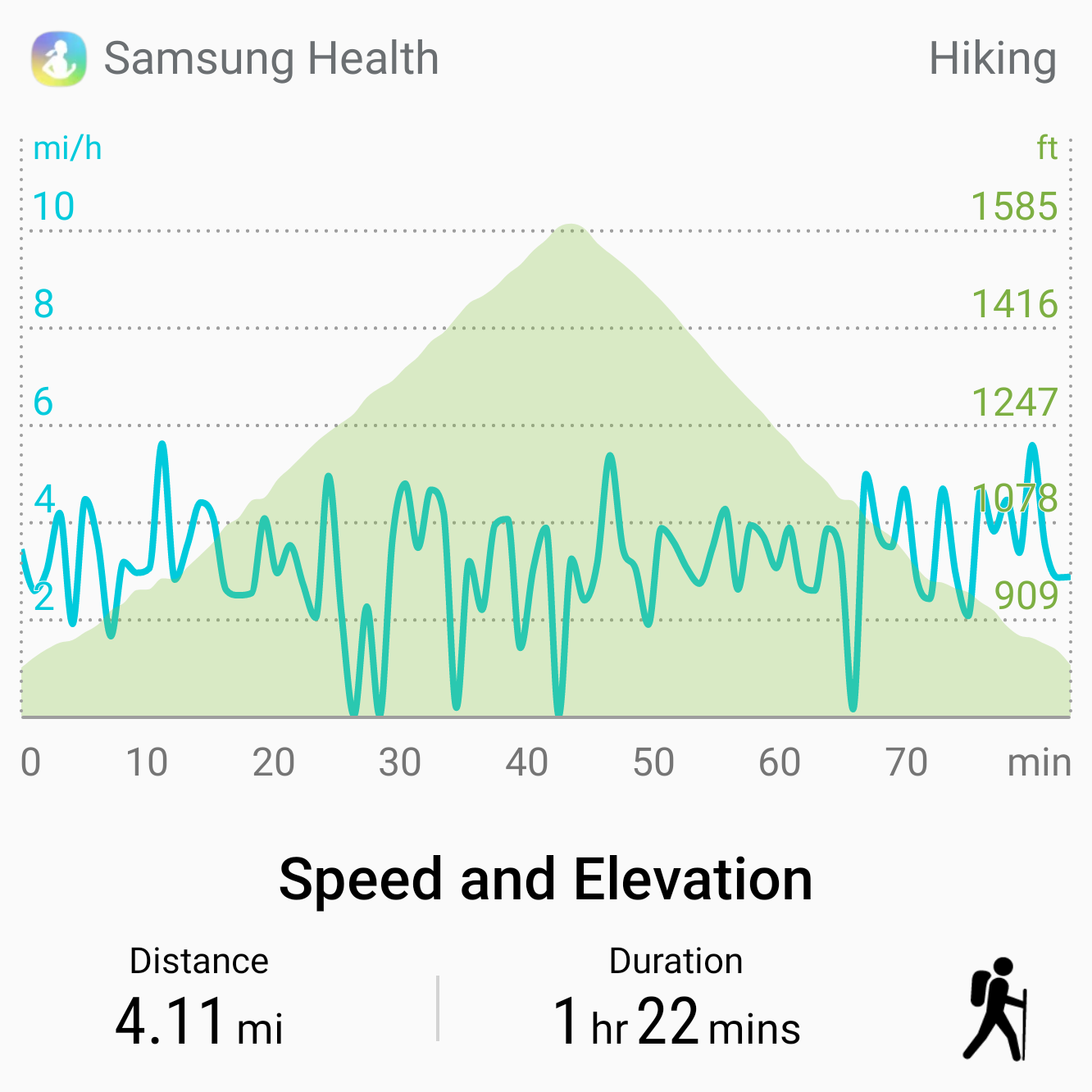
- Length: 4 miles
- Elevation: 800 ft gain and loss
- Type out-and-back
Black Mountain Open Space Park is owned by the city of San Diego and operated by its Parks and Recreation department. The area is in the process of being developed with formal trails. Prior to this trail system, the Black Mountain Service Road was the main way to the top. You can see an older article on this hike from the San Diego Reader.
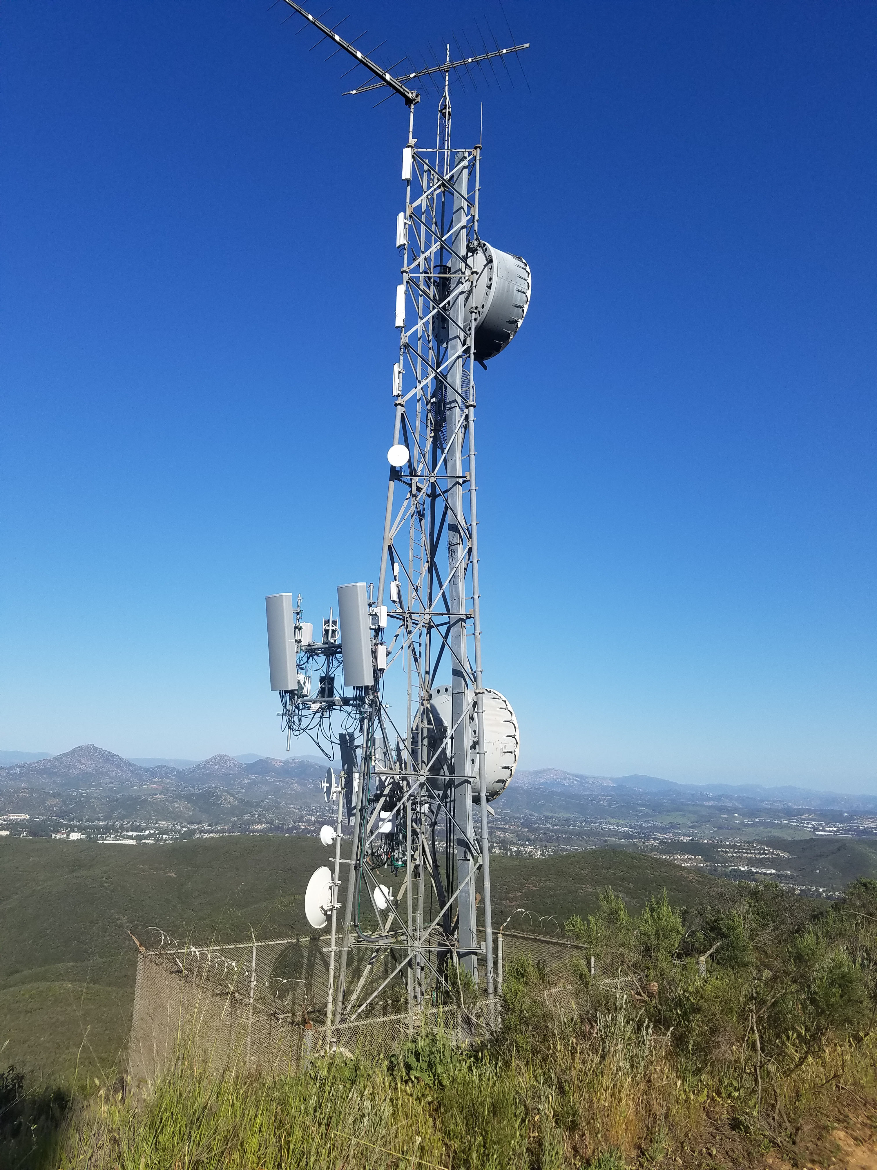
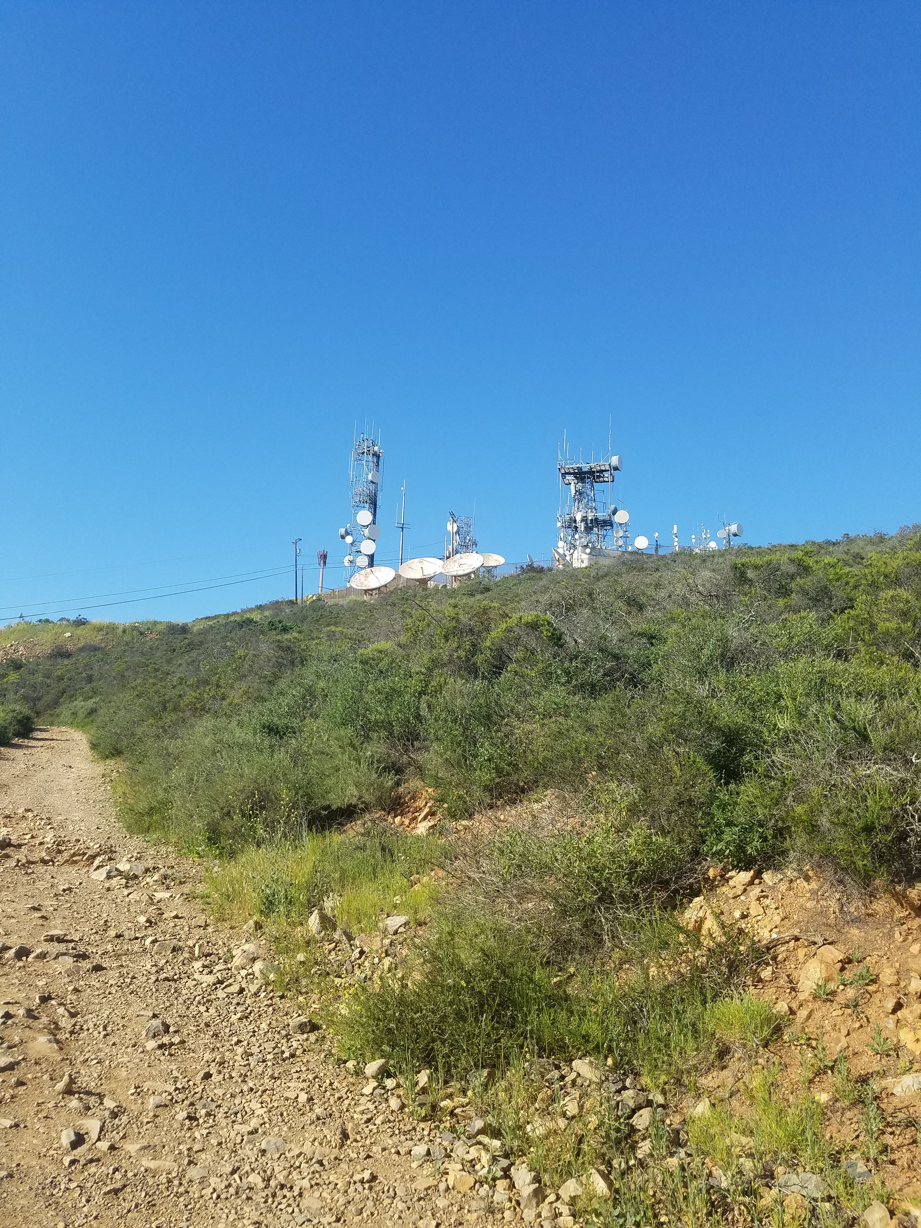
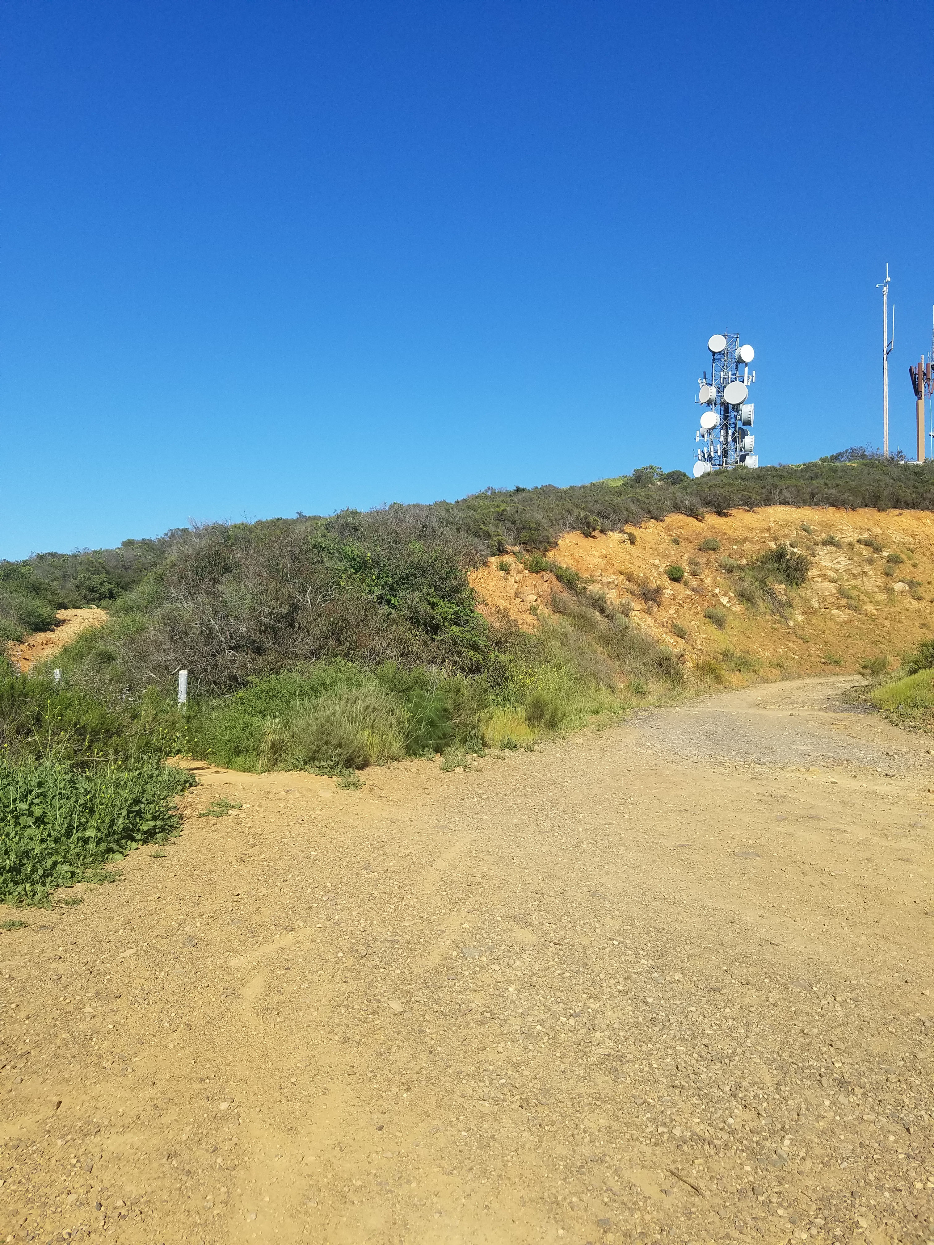
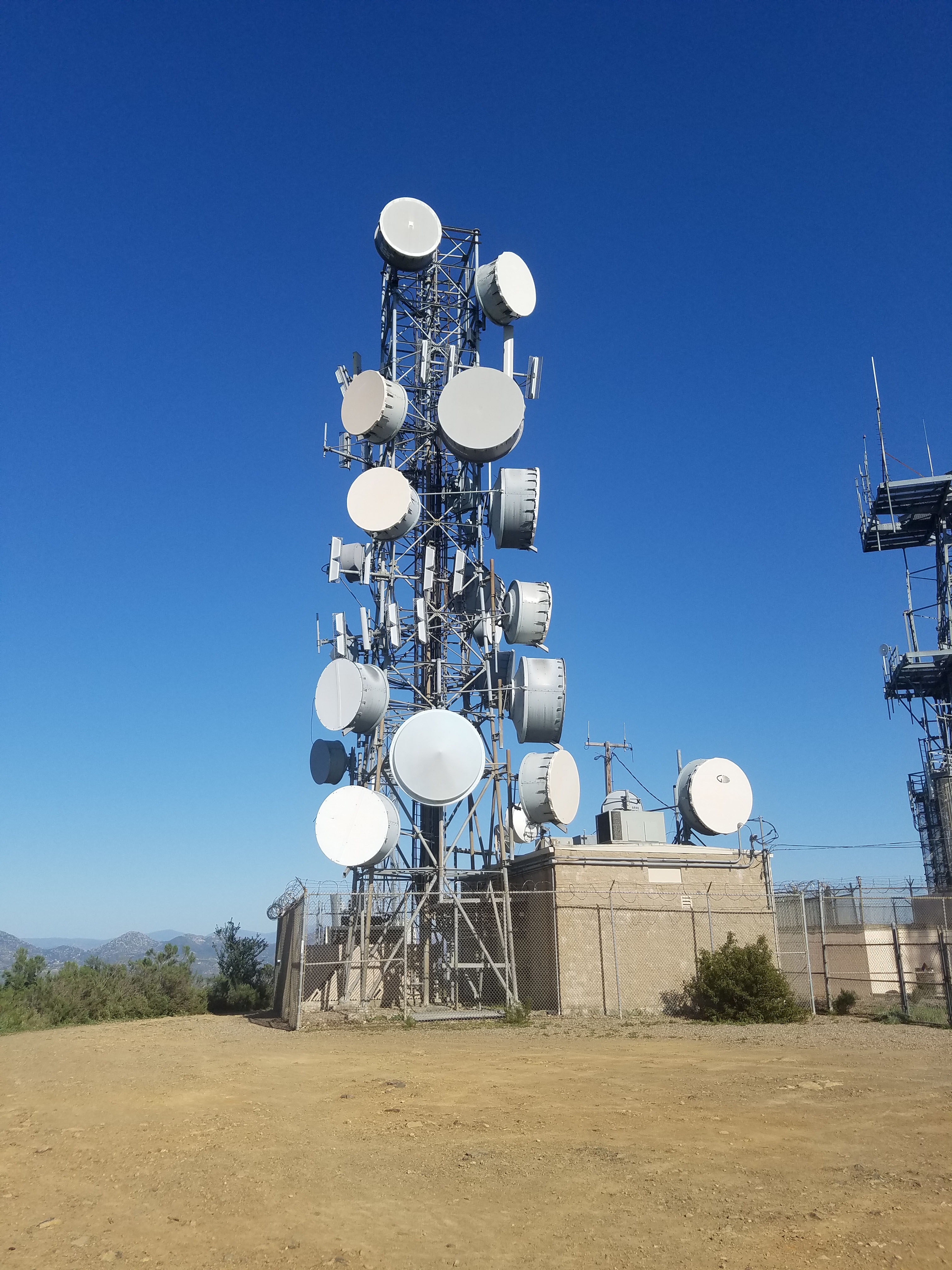
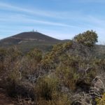
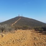
The top of Black Mountain has microwave radio towers. These were built starting in the 1950s for long distance telephone communications. They were also used for secure military communications during the Cold War. Bow they are mainly used for wireless communication. You can find more information on this site.
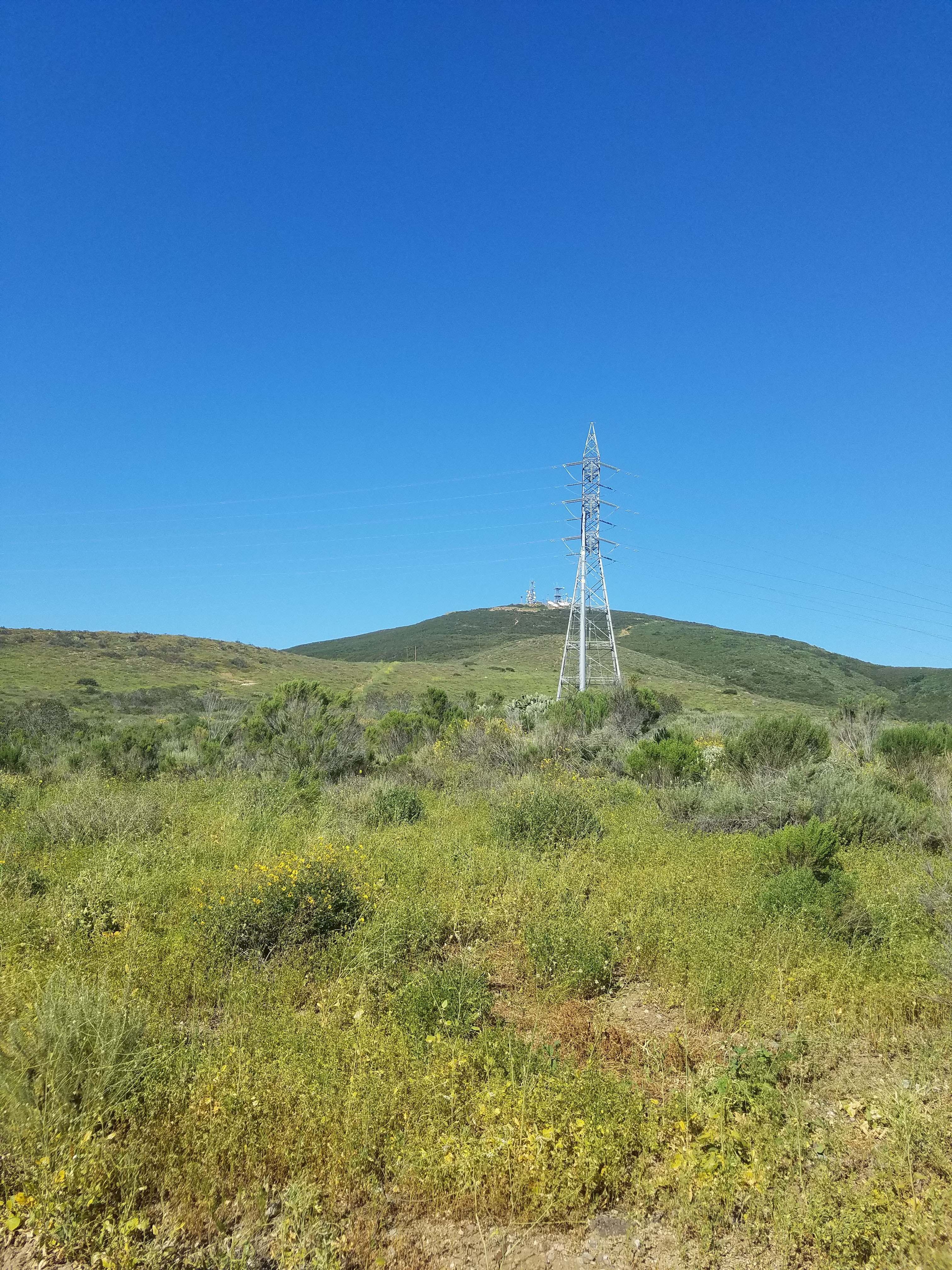
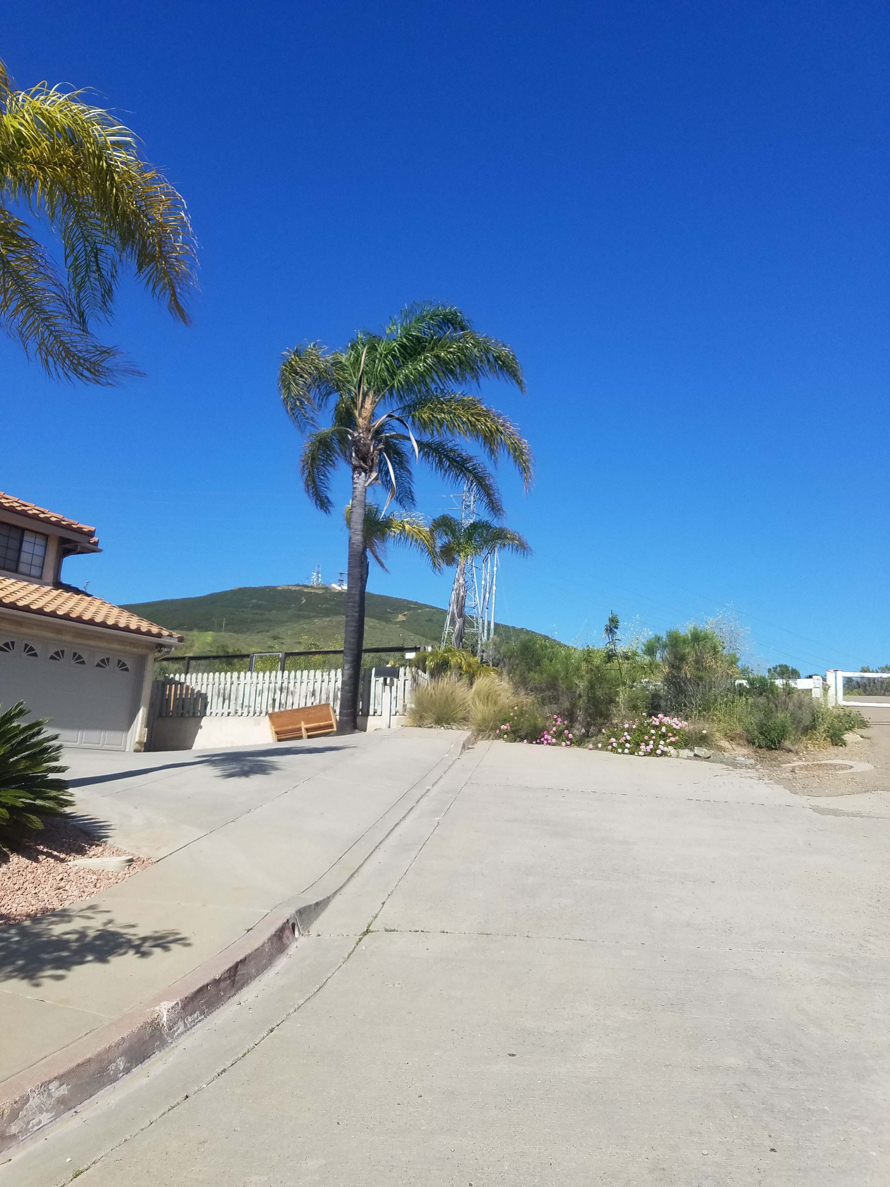
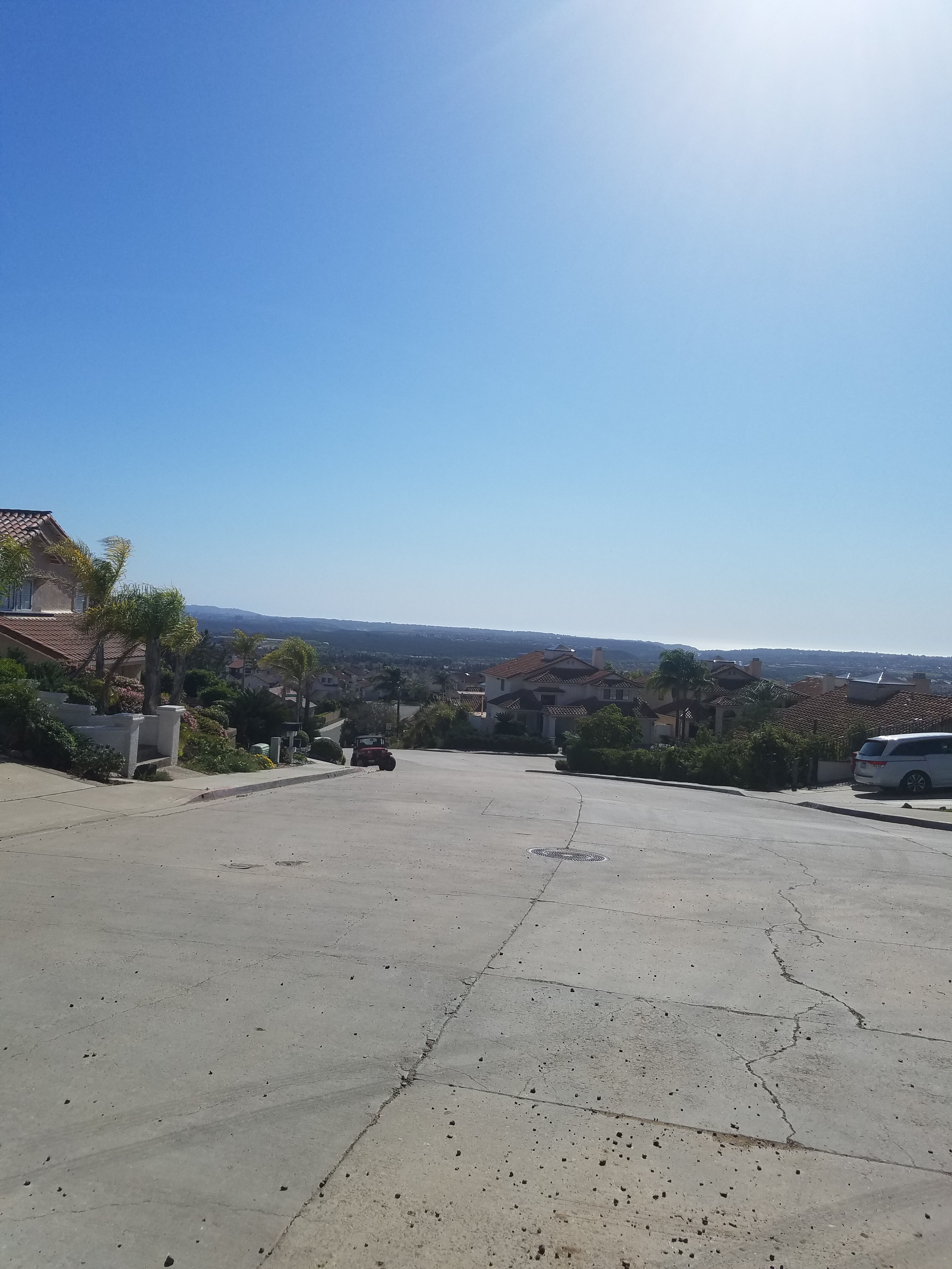
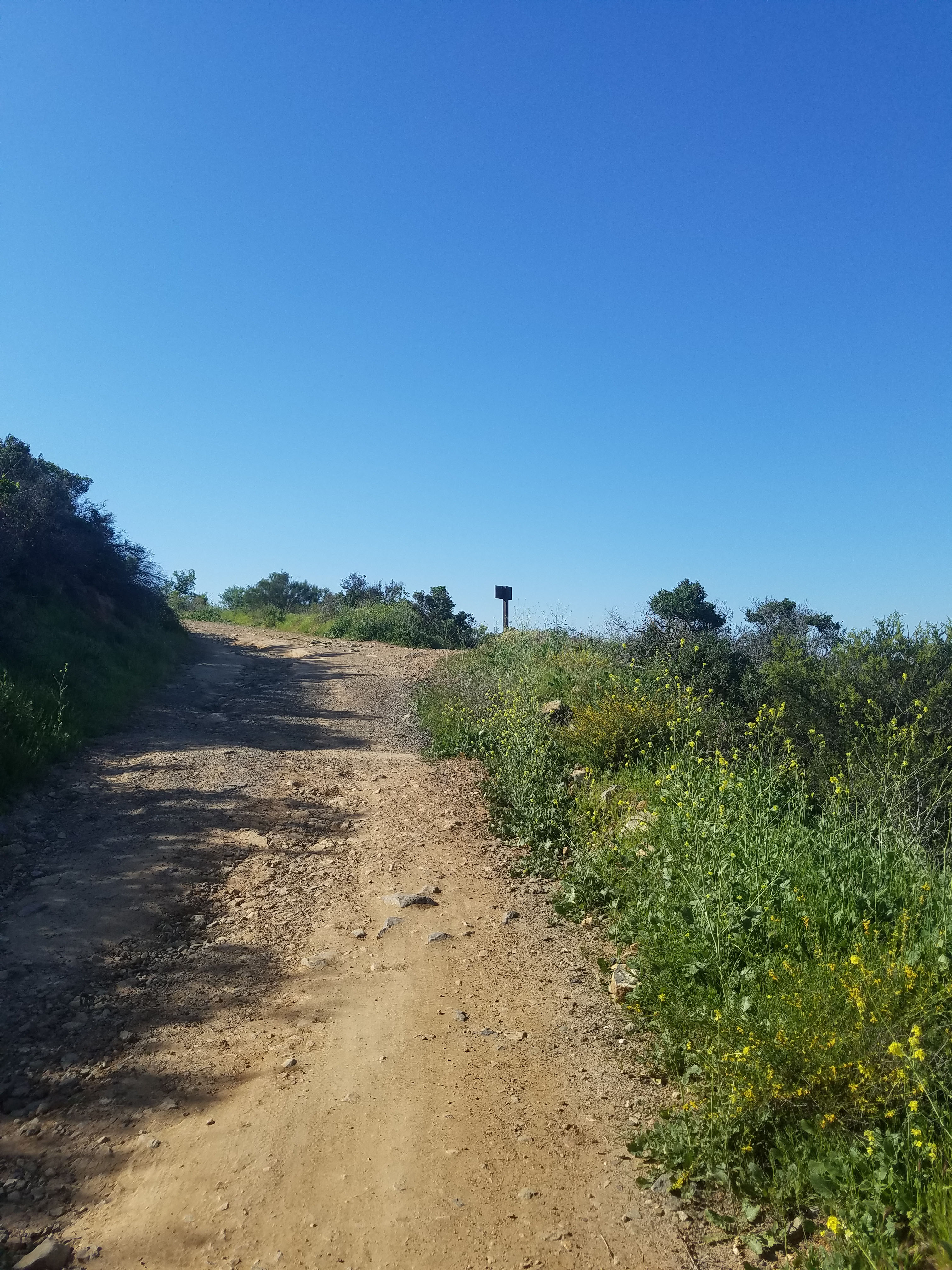
The Black Mountain Service Road is the way vehicles reach the top of the mountain to service the towers. The service road starts at the end of Laurentian Dr a short distance up the mountain. This is a residential neighborhood and free street parking can be found around the corner of Laurentian Dr and Mediatrice Ln.
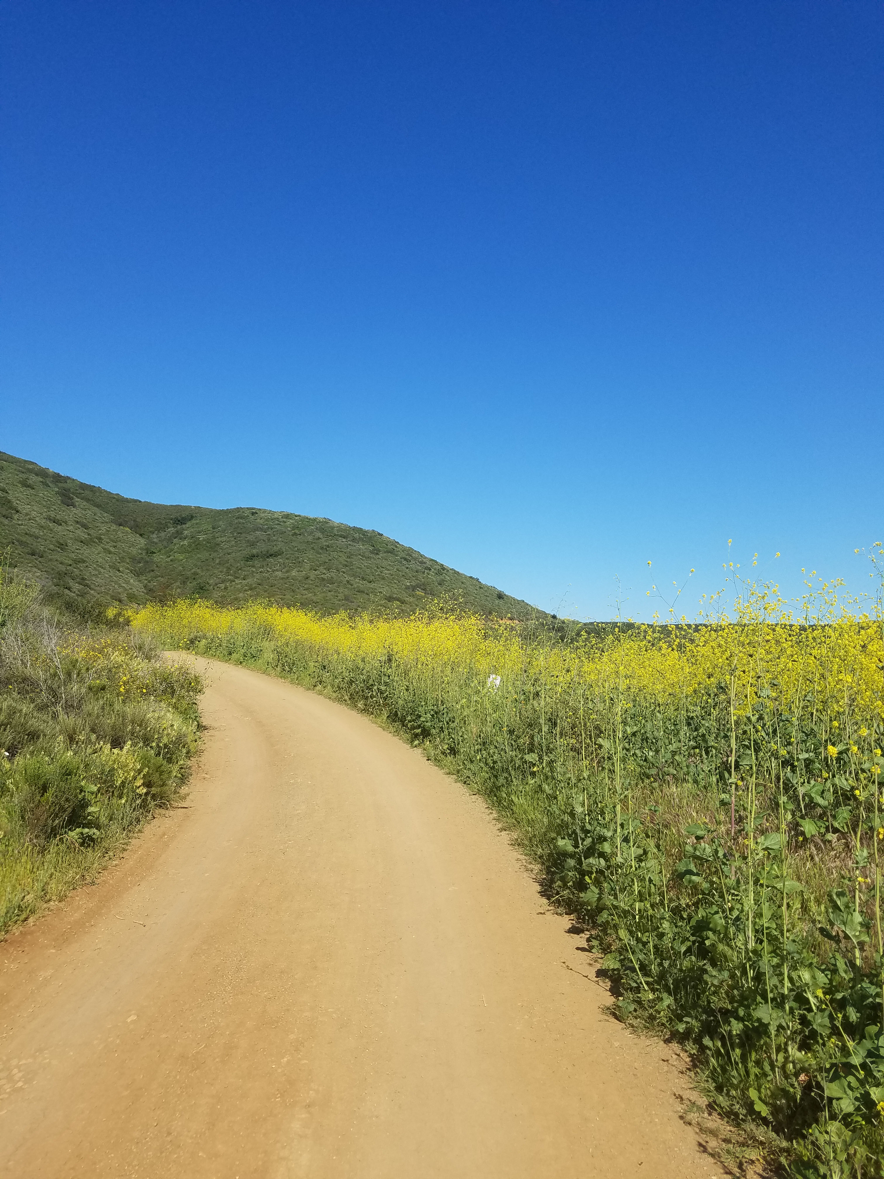
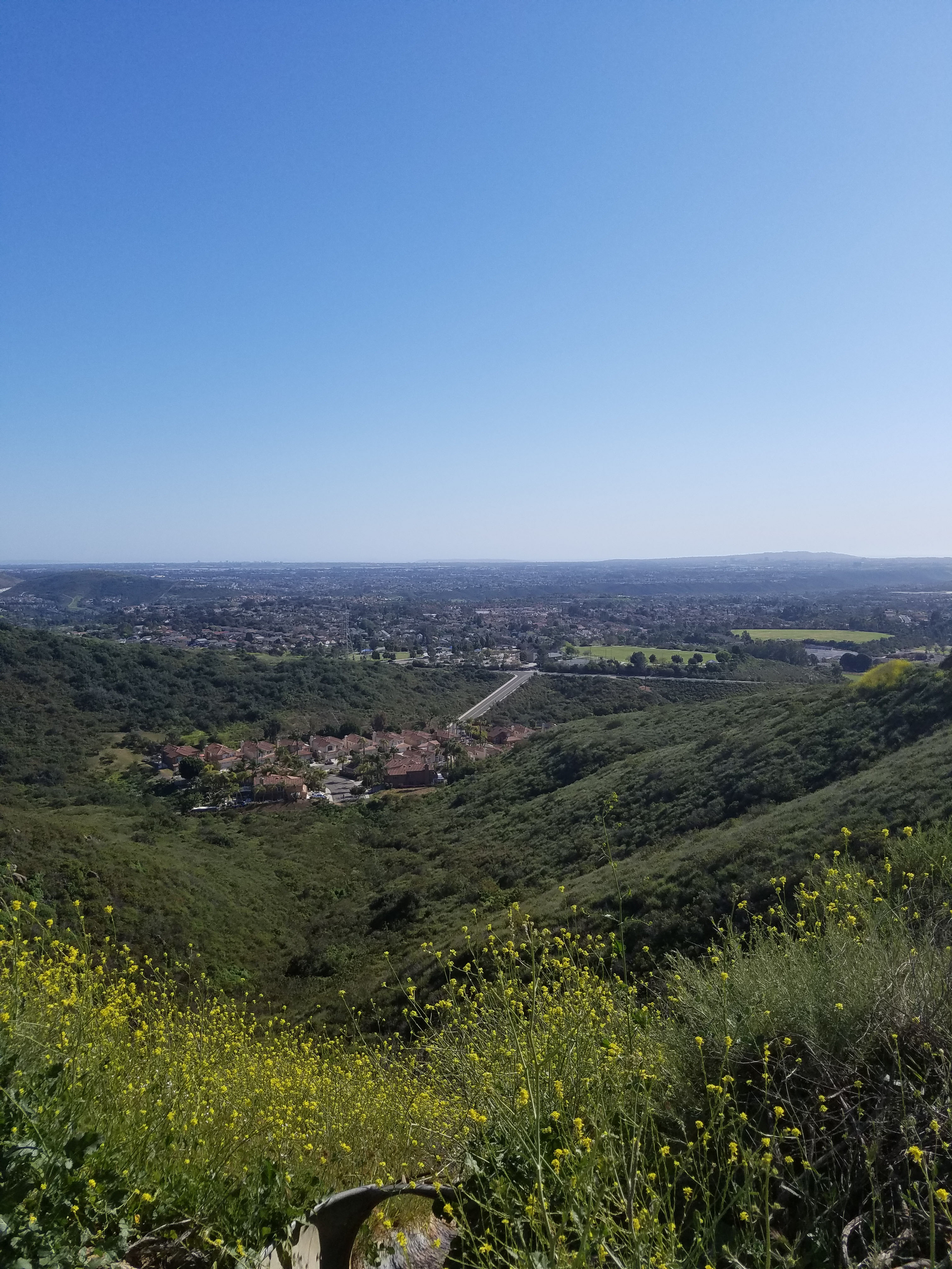
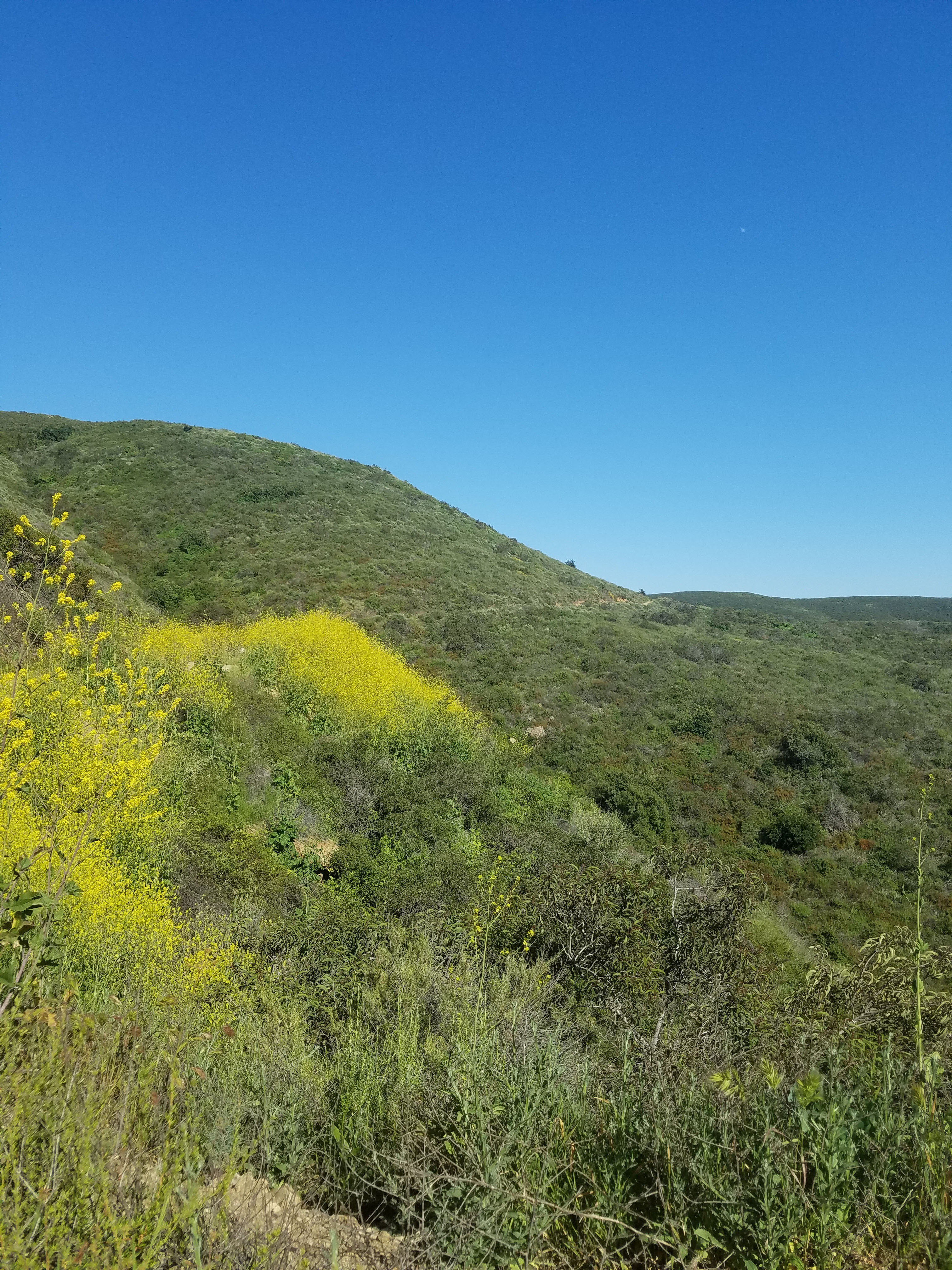
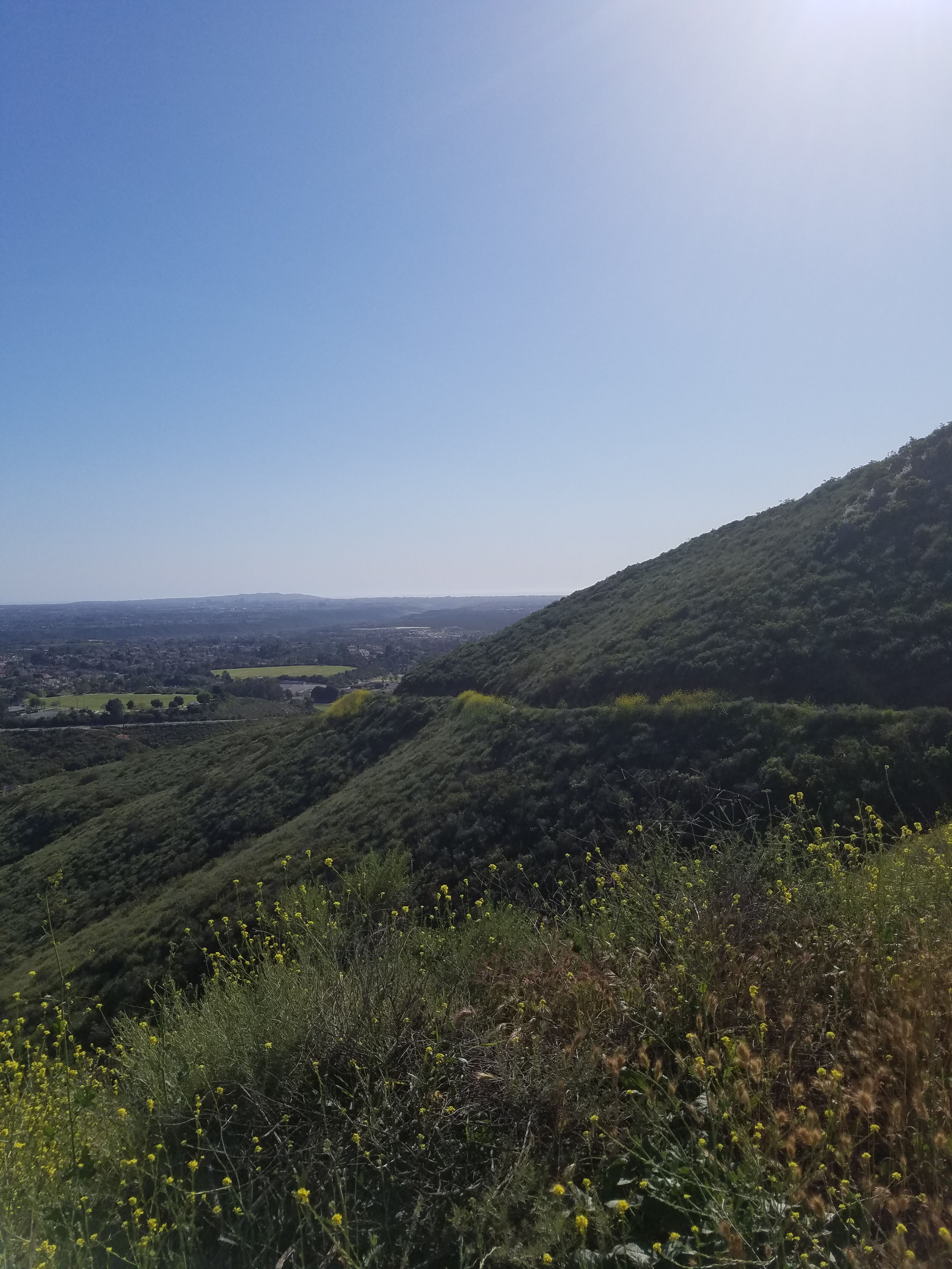
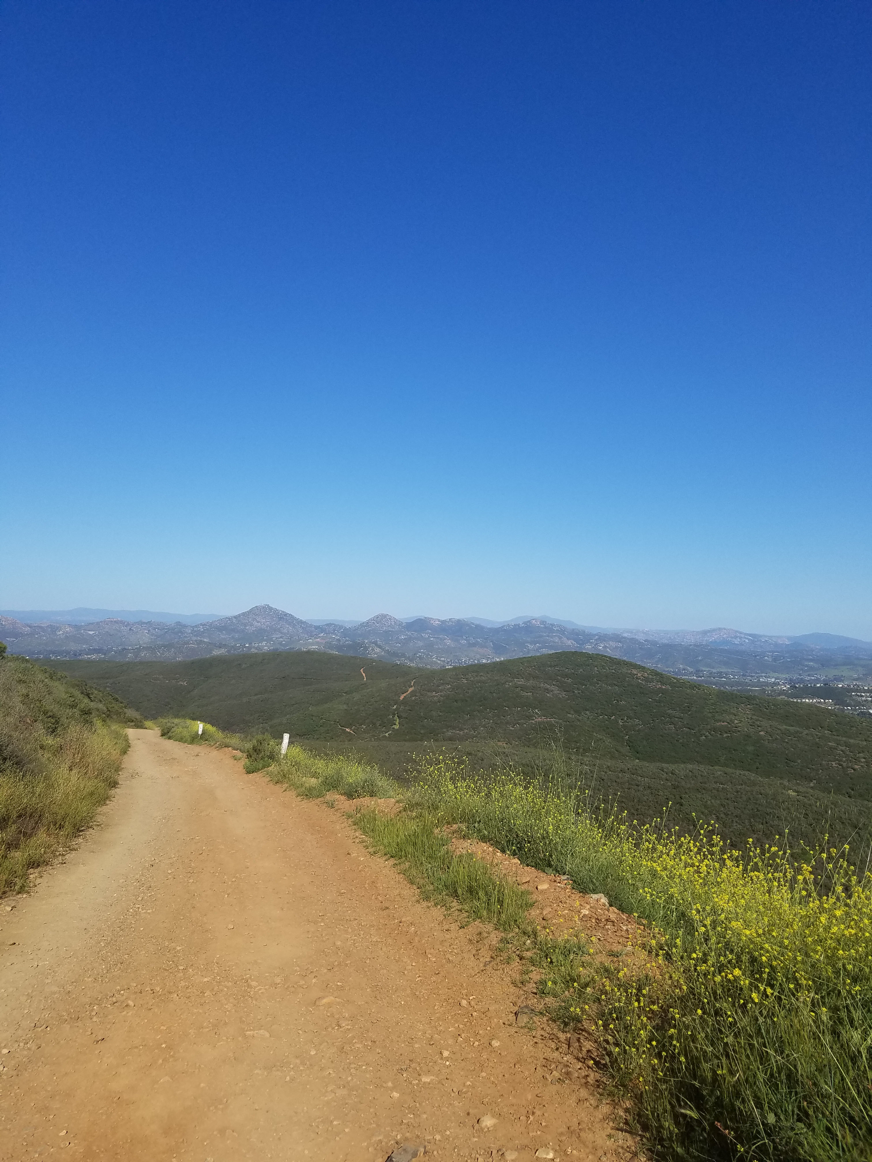
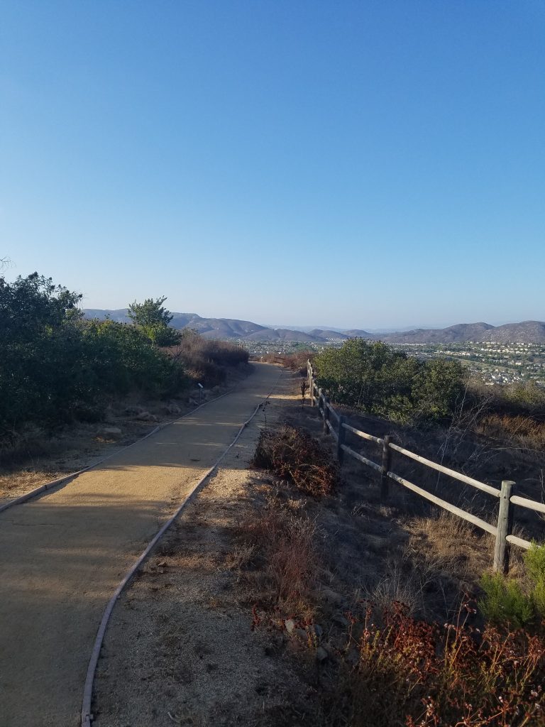
This is a straight forward hike that follows the Black Mountain Service Road. The road goes around the south side of the mountain. As you reach the mountain’s west side the trail starts to curve north. The climb is steady, but never too steep. This is the easiest route to the top.
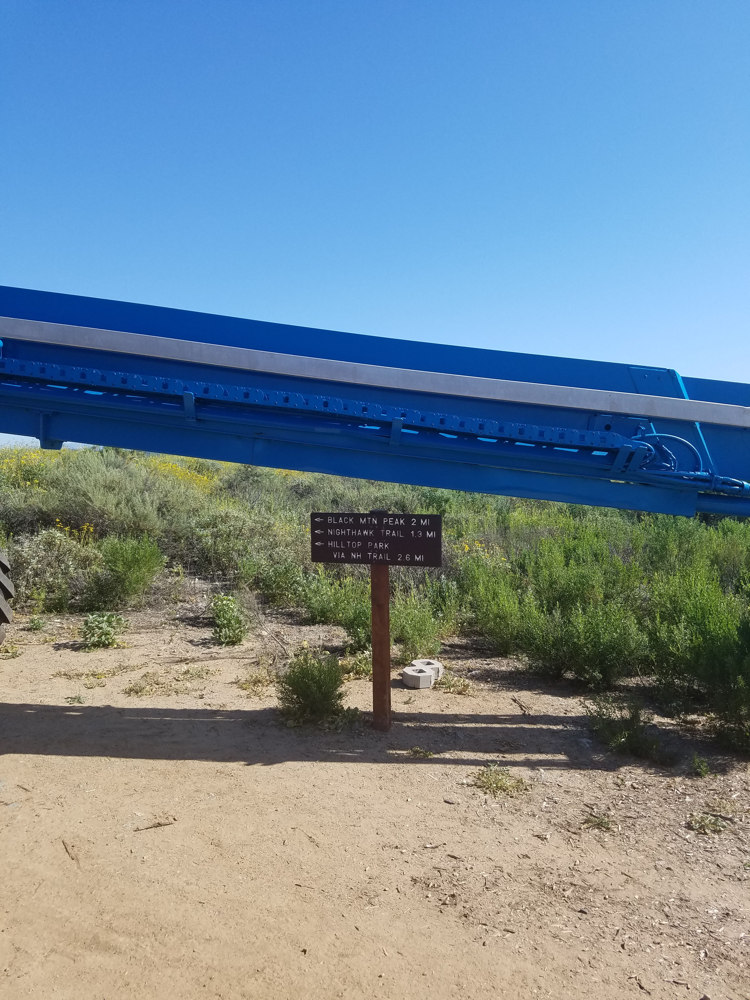
About a half mile from the top you will come to the intersection with Nighthawk Trail. This is where the trails that start at either Hilltop Park or Miner’s Ridge Loop come out. At this point, the trail turns back east for the final climb up the mountain.
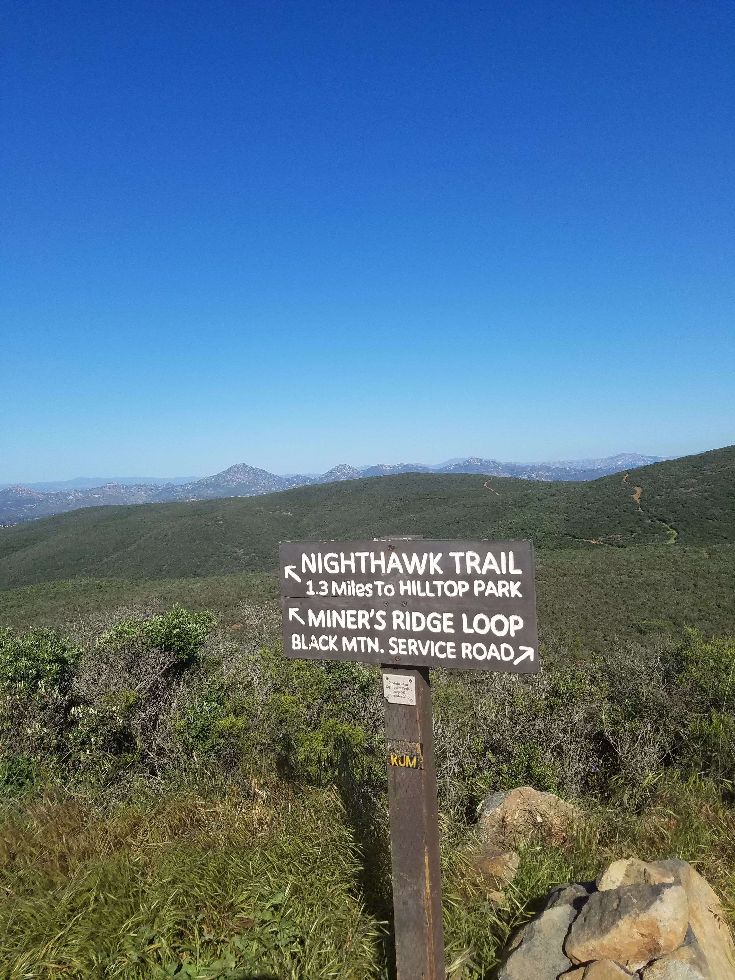
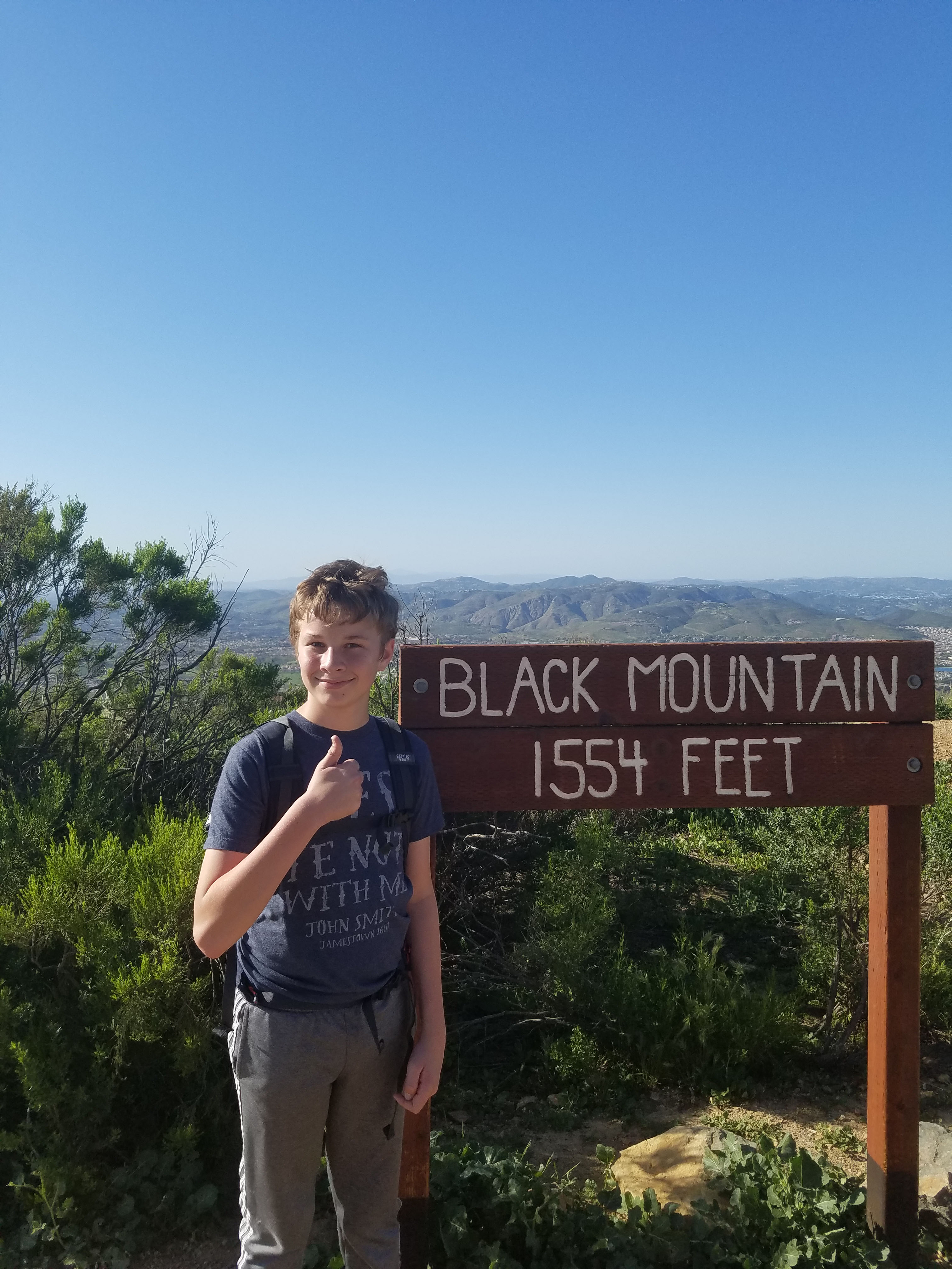
As you reach the top there is a gate marking the entrance the towers. Shortly before this gate, there is a side trail to your left that will also lead you directly to the top. If you take the service road, follow it around the towers at the top to the Black Mountain sign.
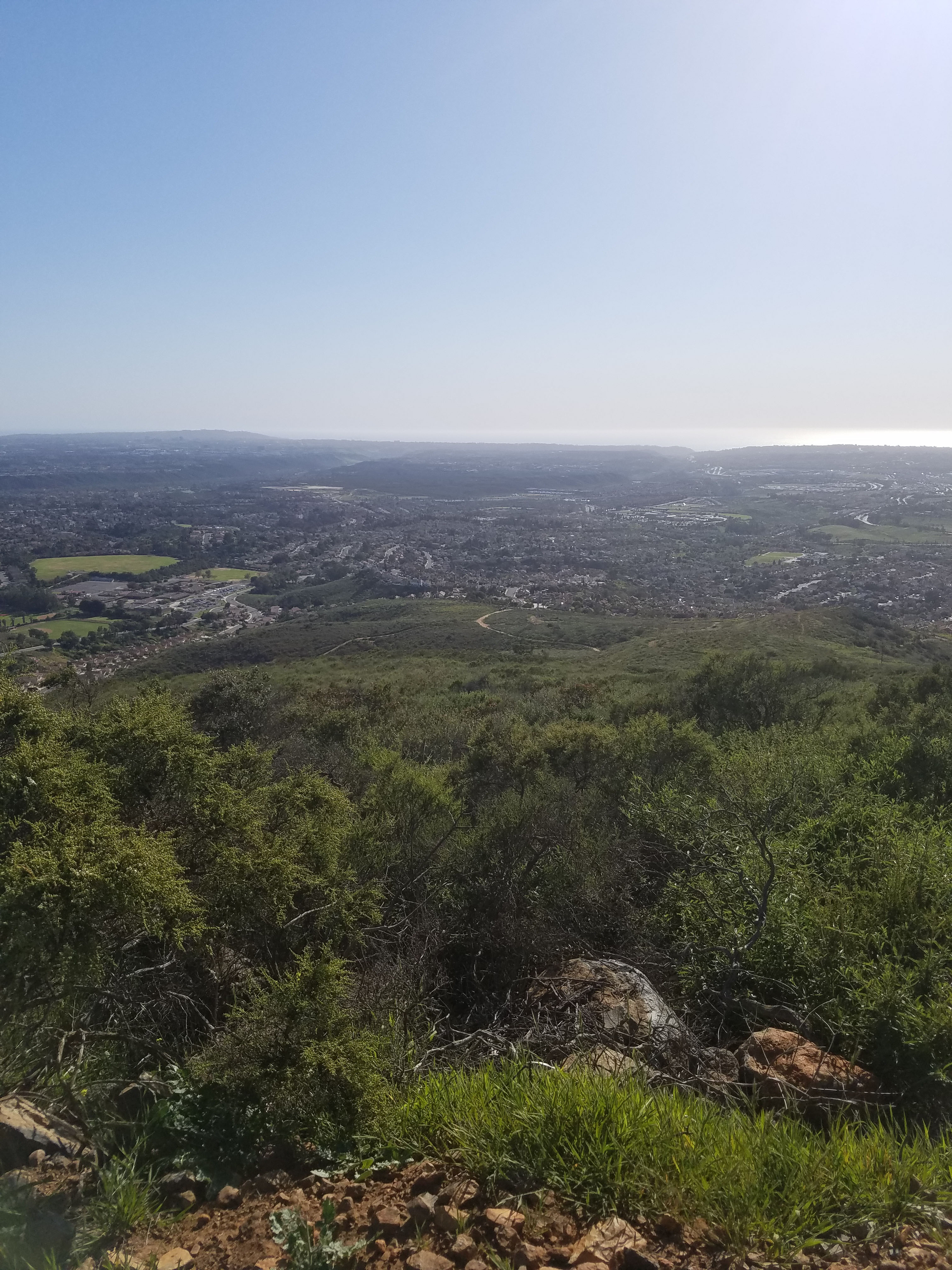
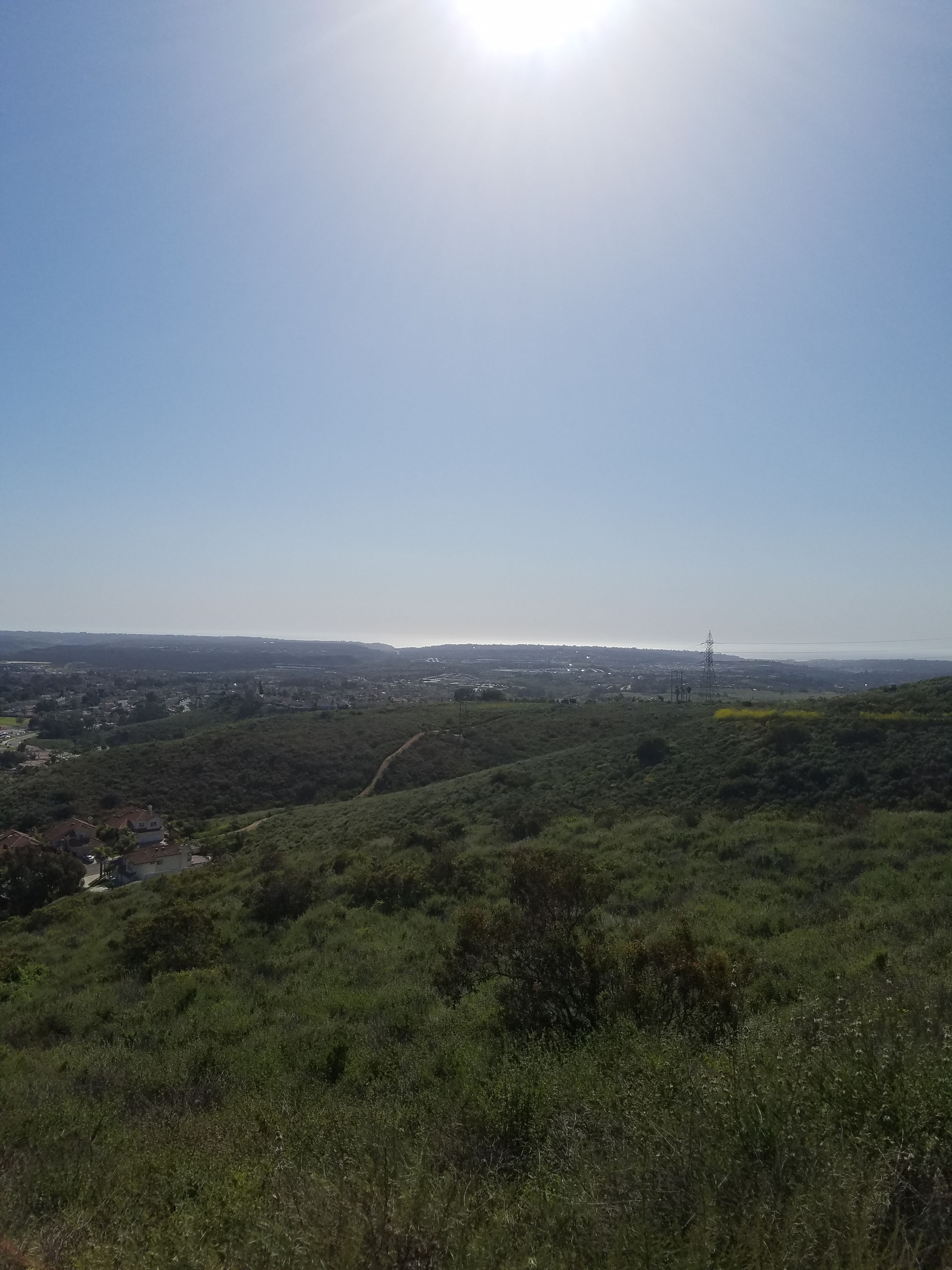
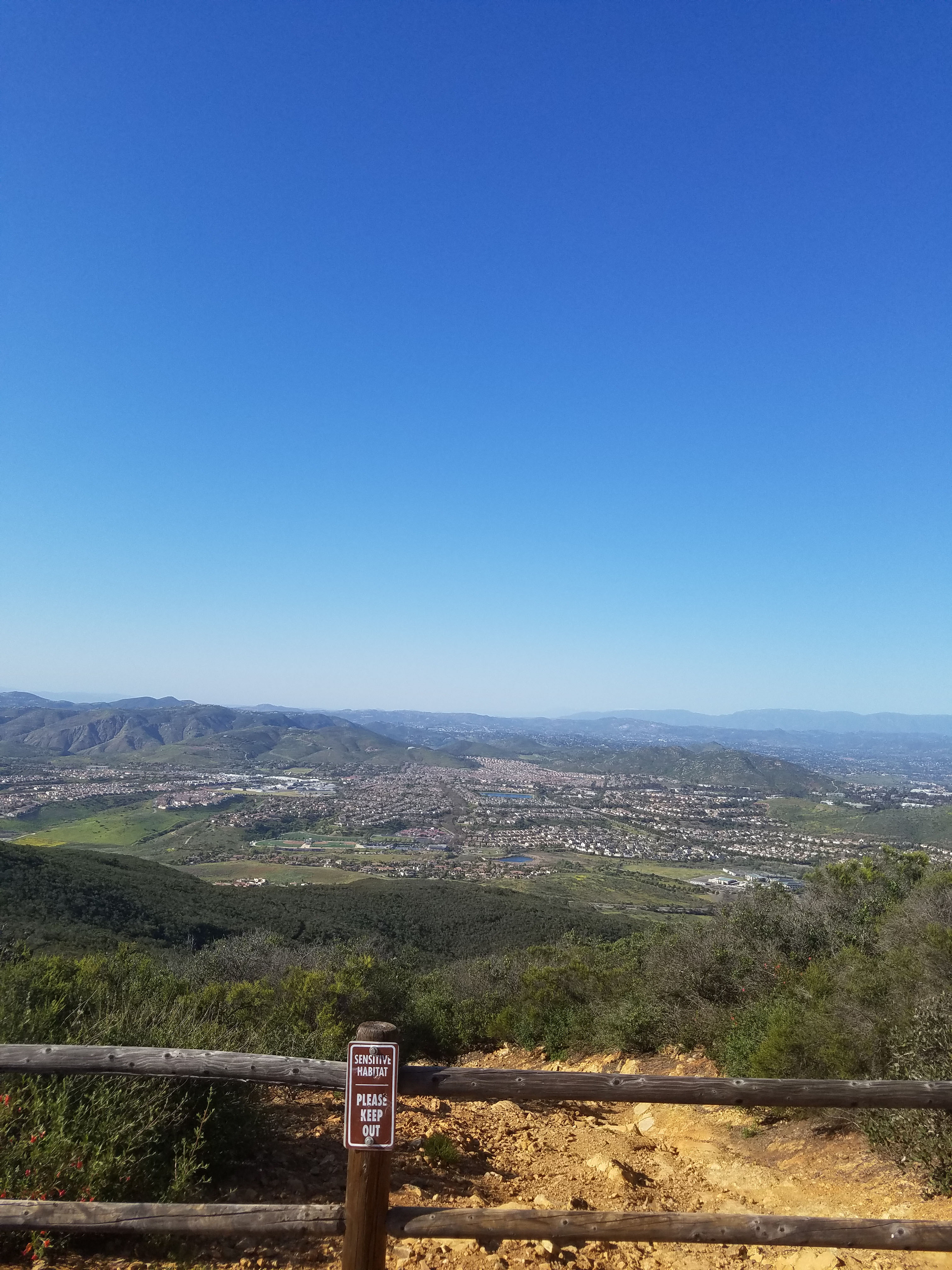
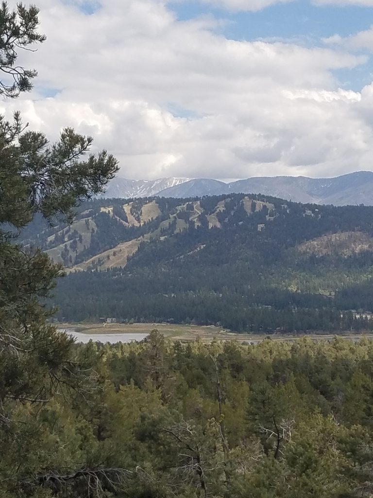
The view from the top allows you to see almost all of the city of San Diego, as well as the mountains to the north and east. In prehistorical times this area was actually San Diego’s shoreline and the area to the west was underwater. There is a display of this history at the Torrey Pines Visitor Center.
When you are ready to return simply hike back the way you came. If you wanted to do a longer hike you go down Nighthawk Trail to Hilltop park. From Hilltop you would need to walk down Oviedo St and then back up Stargaze to Laurentian Dr.
Go here for a full guide to hiking Black Mountain Open Space Park.
One Comment
Comments are closed.