San Diego Hikes: Ahwee Trail
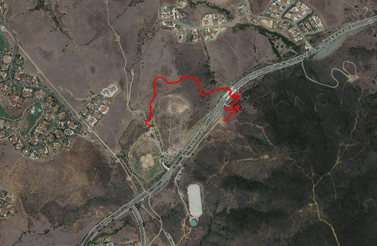
Ahwee Trail is a one-mile long trail in Black Mountain Open Space Park that connects the trails at Black Mountain with the extended trails of Lusardi Loop. It is mostly used as a connector but it can be a nice 2-mile out-and-back hike.
- Starting Point: Glider Point Parking lot Carmel Valley Rd, east from Black Mountain Rd OR Black Mountain Community Park
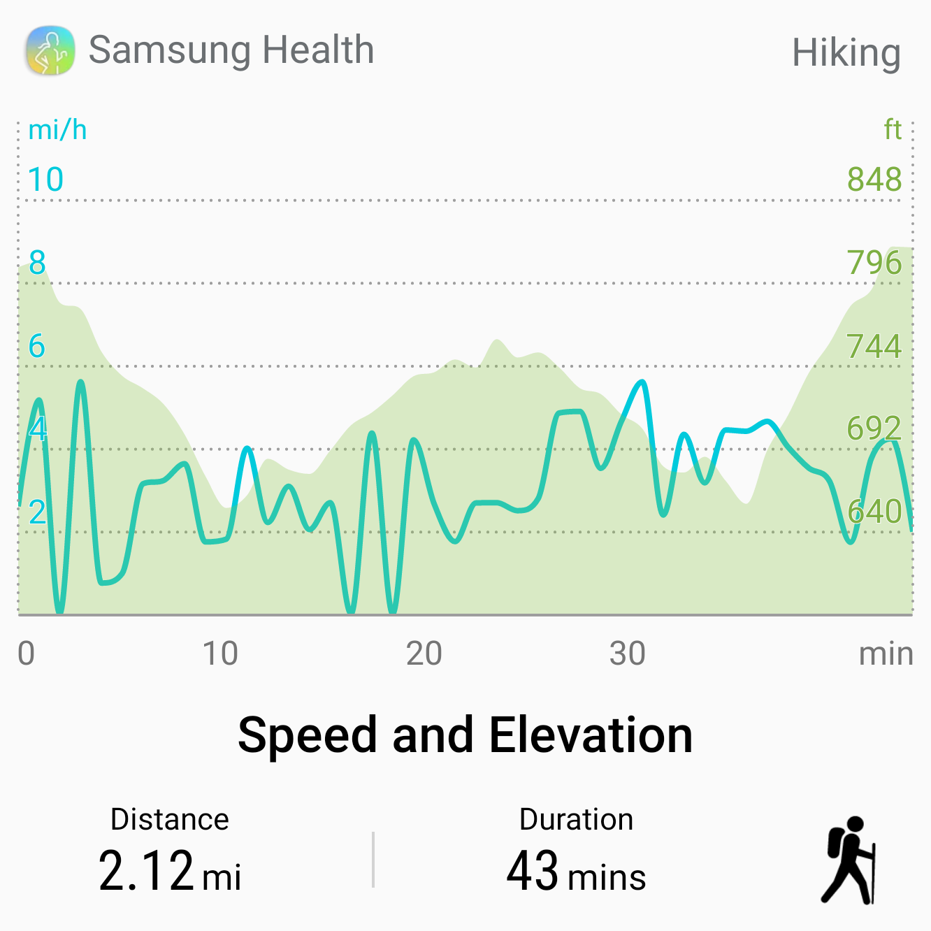
- Length: 2 miles
- Elevation: about 150 ft gain and loss with several up and down sections
- Type out-and-back
Along with Lilac Canyon Trail, Ahwee Trail opened in 2015. It is part of a long-term goal to create trails that do not interfere with the mountain’s ecosystem. Ahwee Trail is popular with mountain bikers because it connects the two separate parts of Black Mountain Open Space.
For hikers Ahwee Trail is a great introduction to the Black Mountain area. It is a nice family hike for those that do not want to trying conquering the full mountain trails. However, it does have some nice up and down sections.
You can start a hike of Ahwee Trail at either end. The mountain side of the trail starts in the parking lot for the Glider Port off of Carmel Valley Road. The other end of the trail starts across the street by the baseball fields at Black Mountain Community Park.
If you are just hiking Ahwee Trail it is probably best to start at Black Mountain Community Park. However, we like to combine these with other trails on Black Mountain that start near the Glider Port parking.
The Glider Point Trail parking lot is down a dirt road turnoff heading east on Carmel Valley Rd. If you are heading west on Carmel Valley Rd you need to make a U-turn at the Black Mountain Rd intersection.
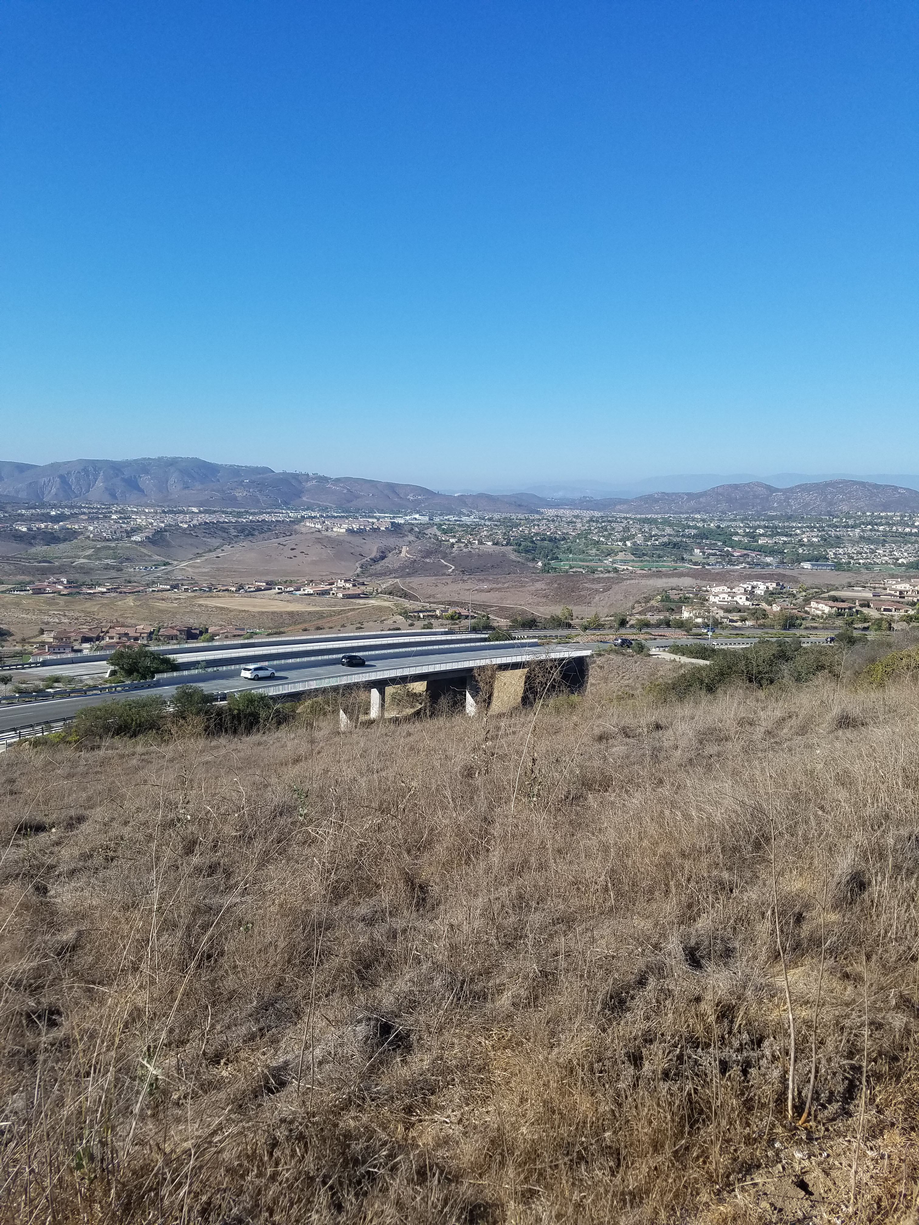
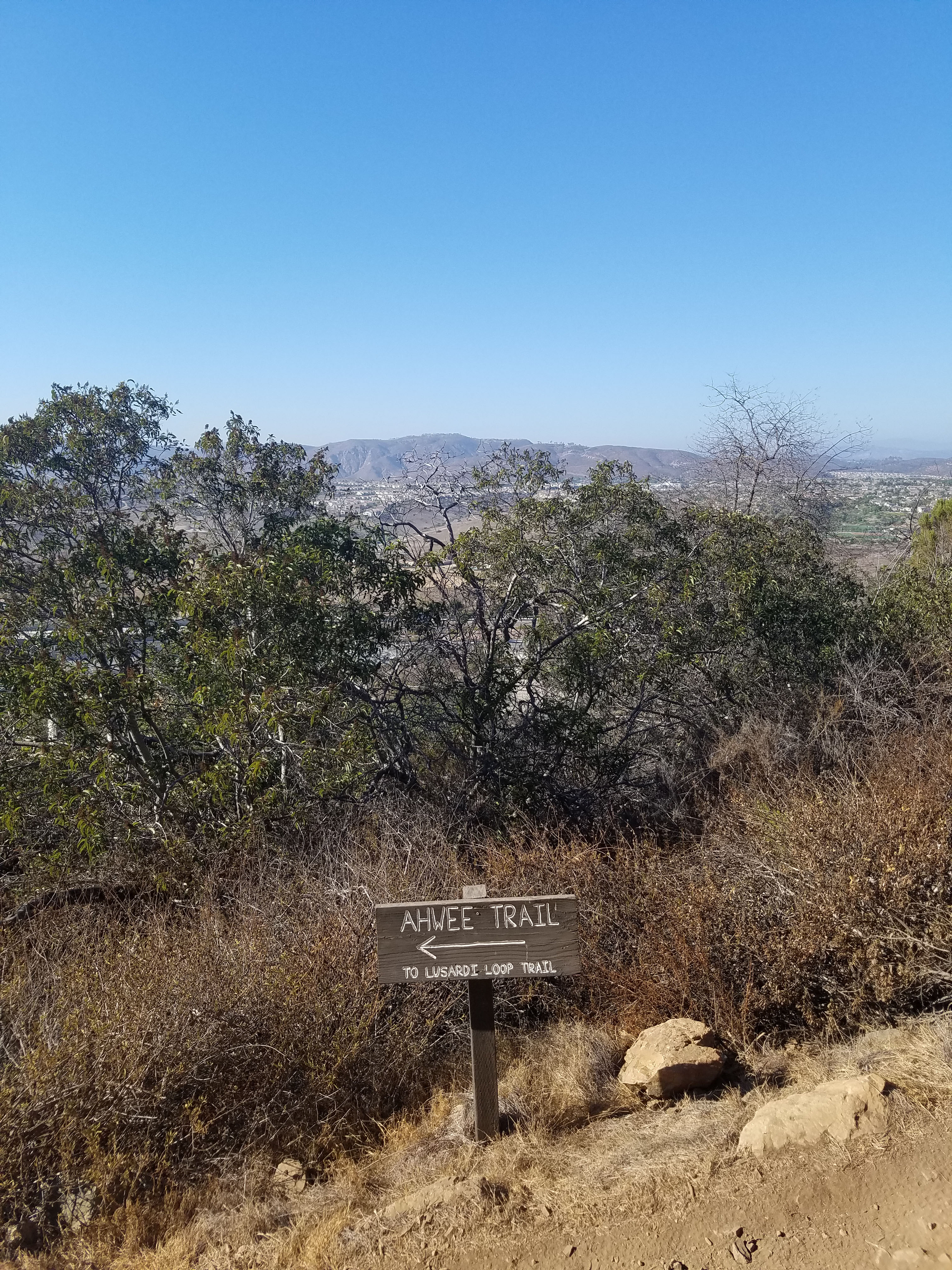
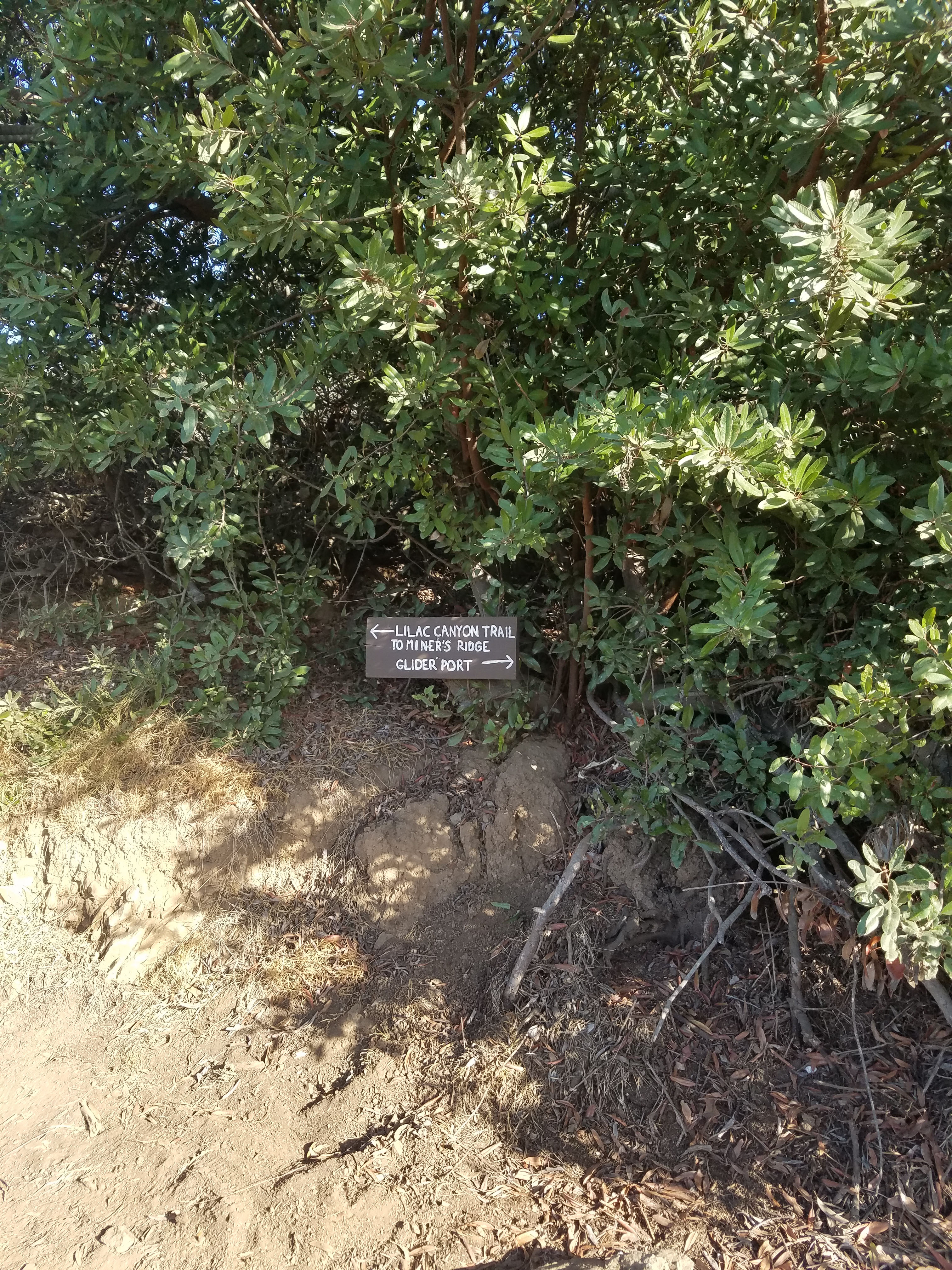
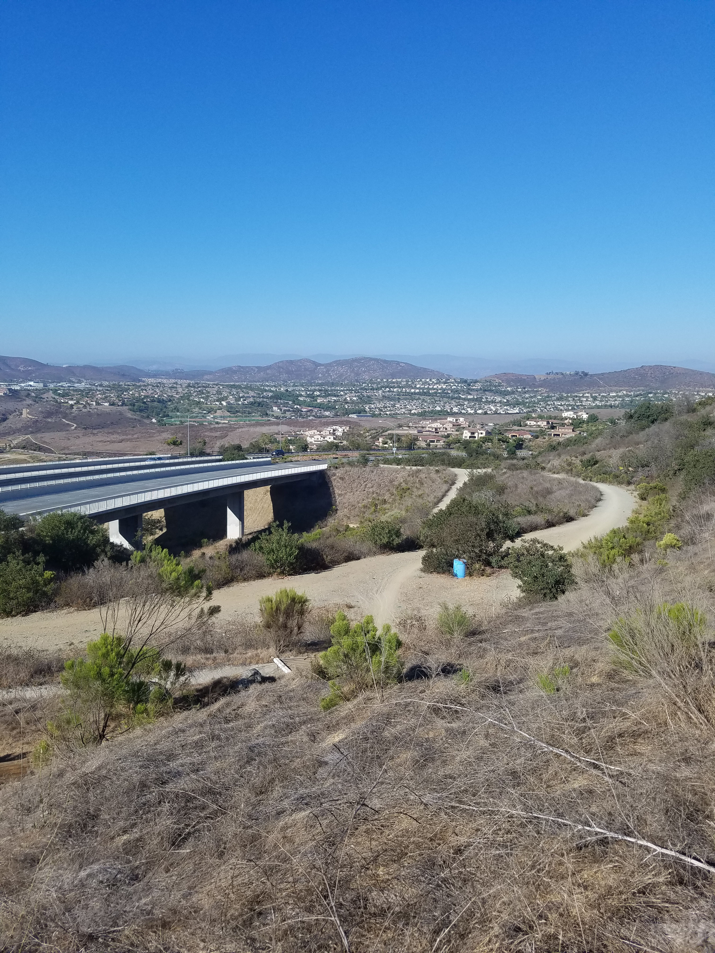
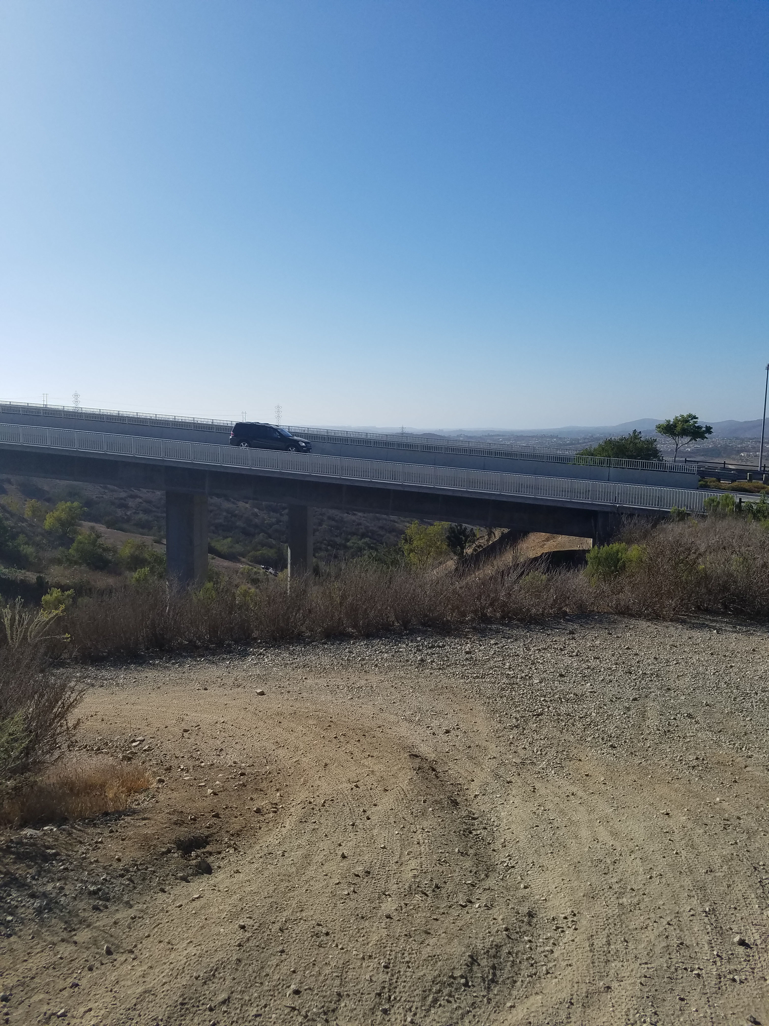
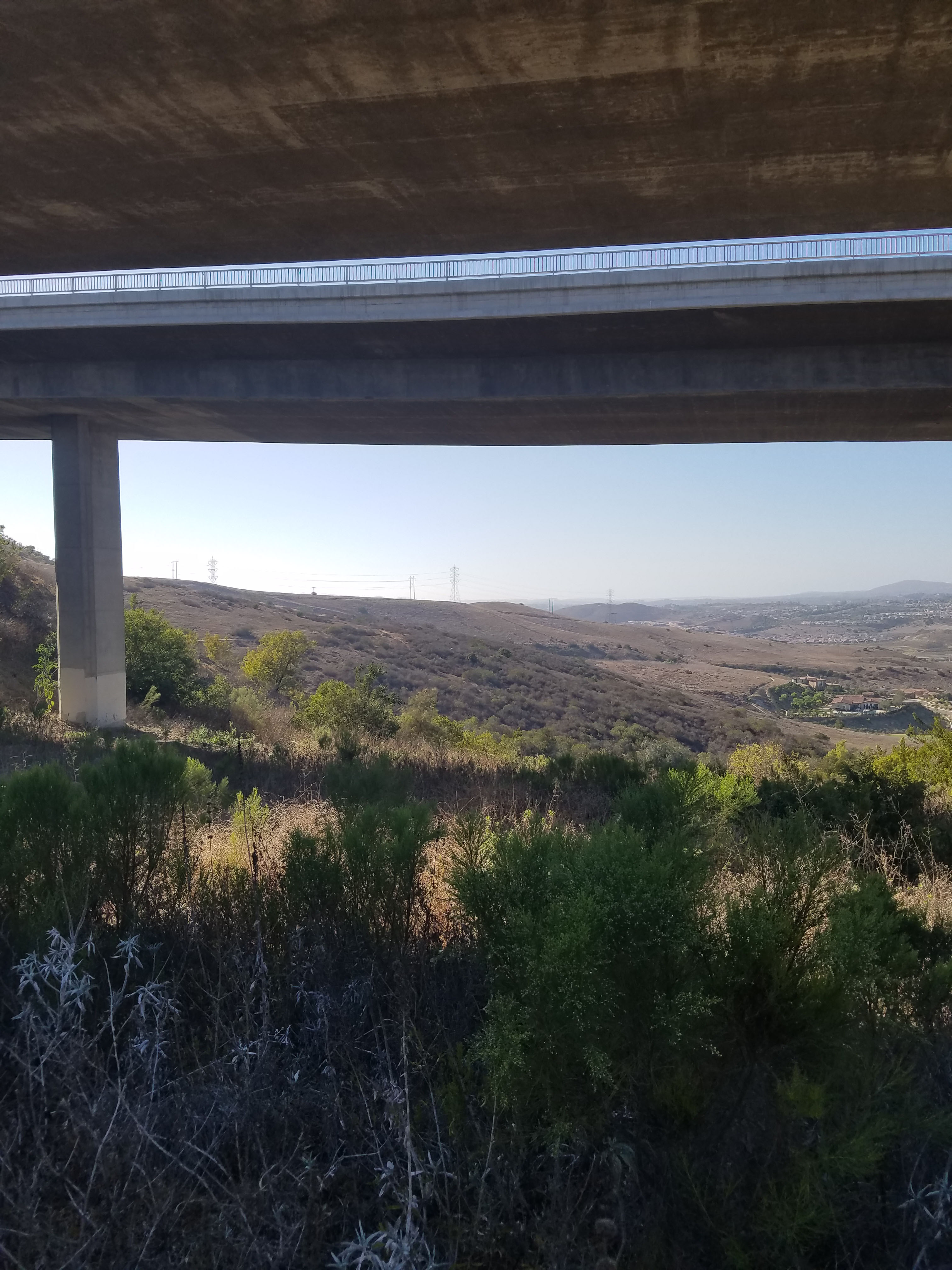
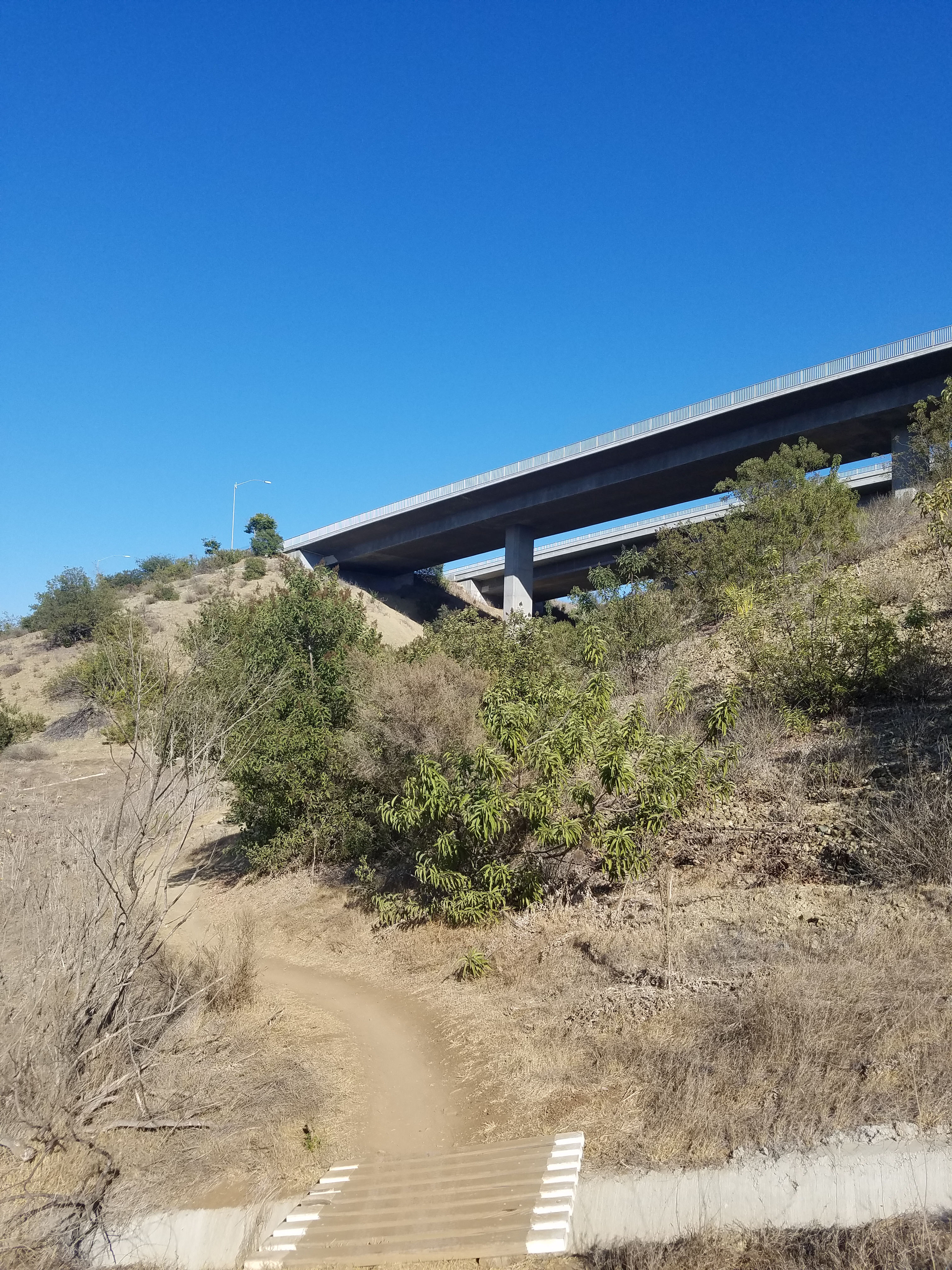
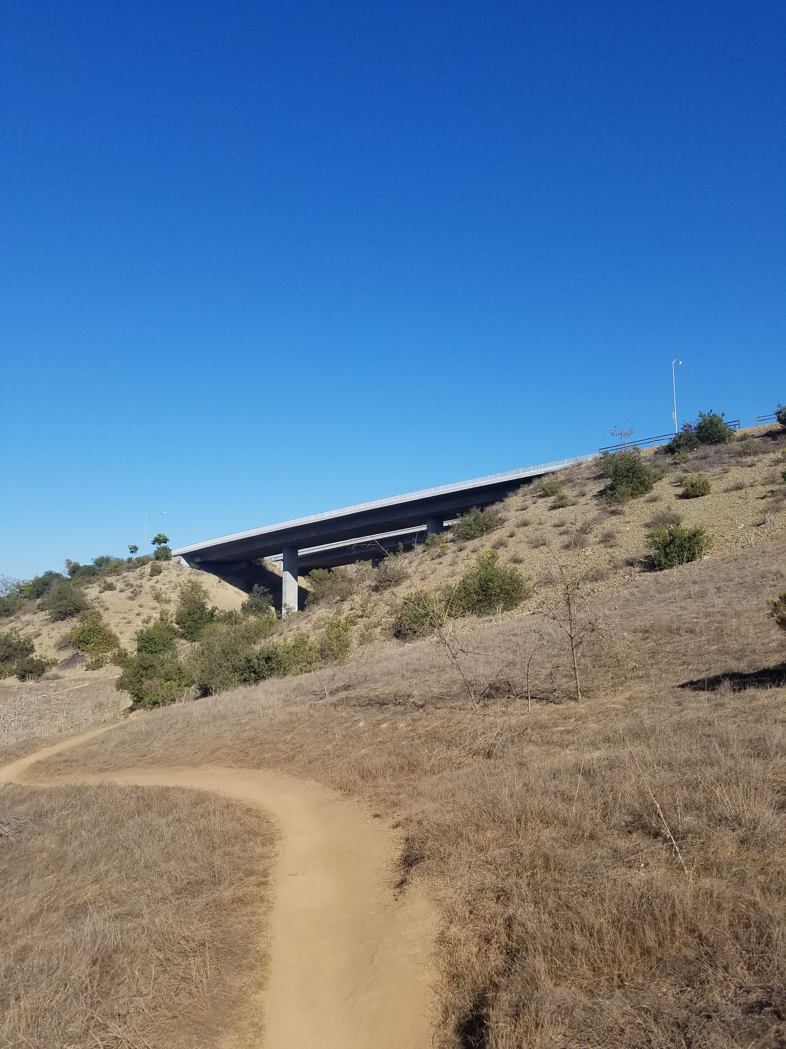
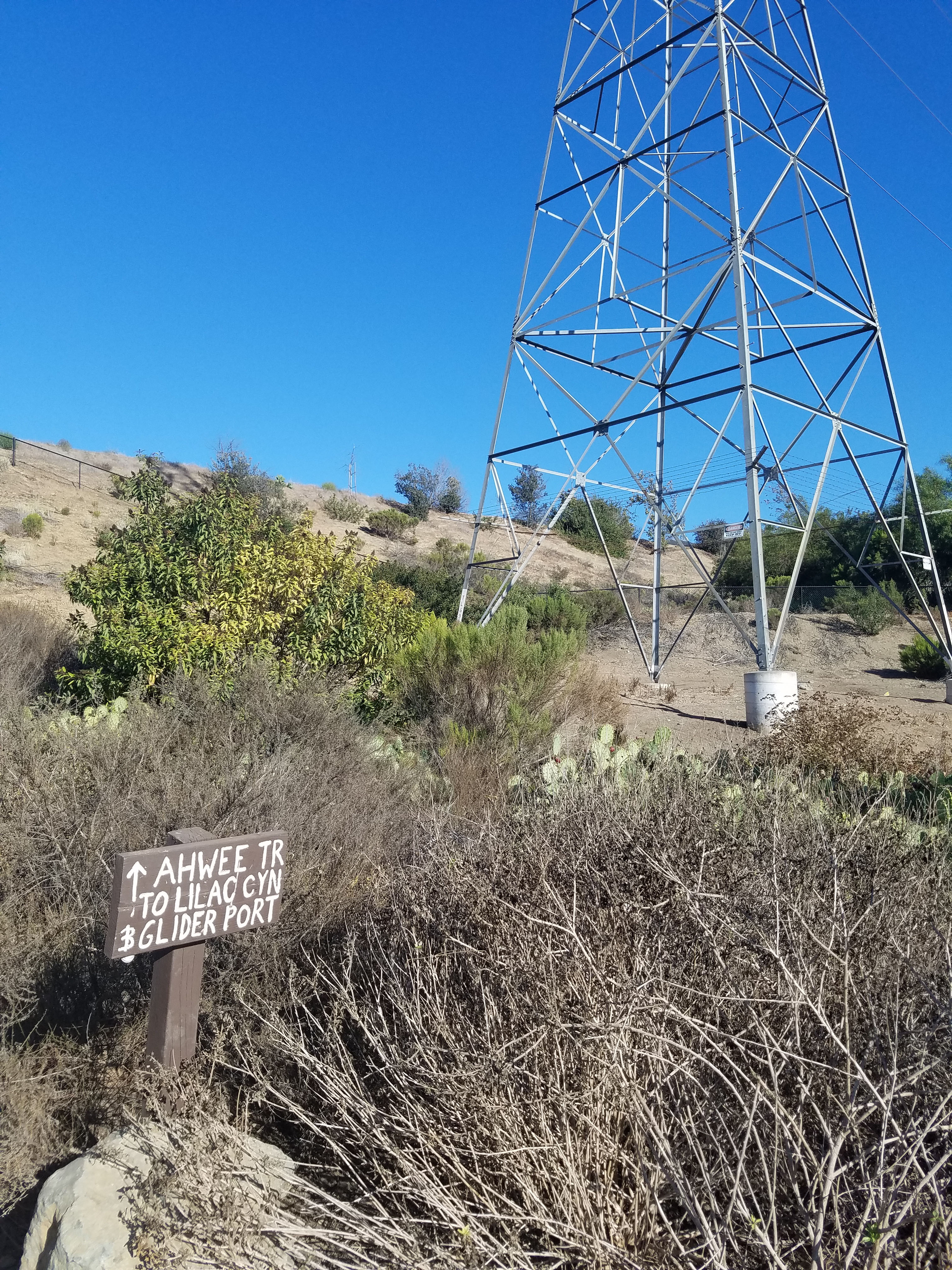
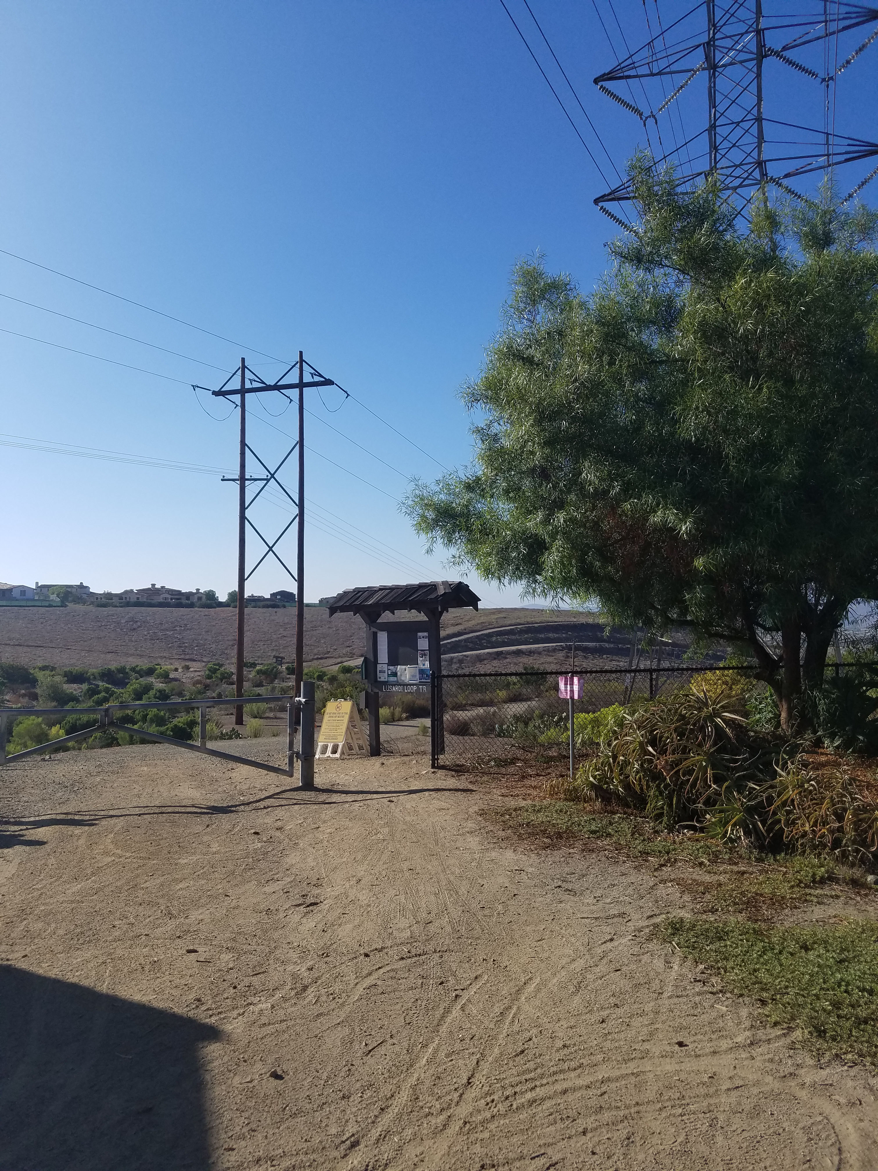
From the Glider Port Trail, you walk a short way until you see the sign showing Ahwee Trail splitting off to the left. Ahwee Trail leads down under the bridge over Carmel Valley Road.
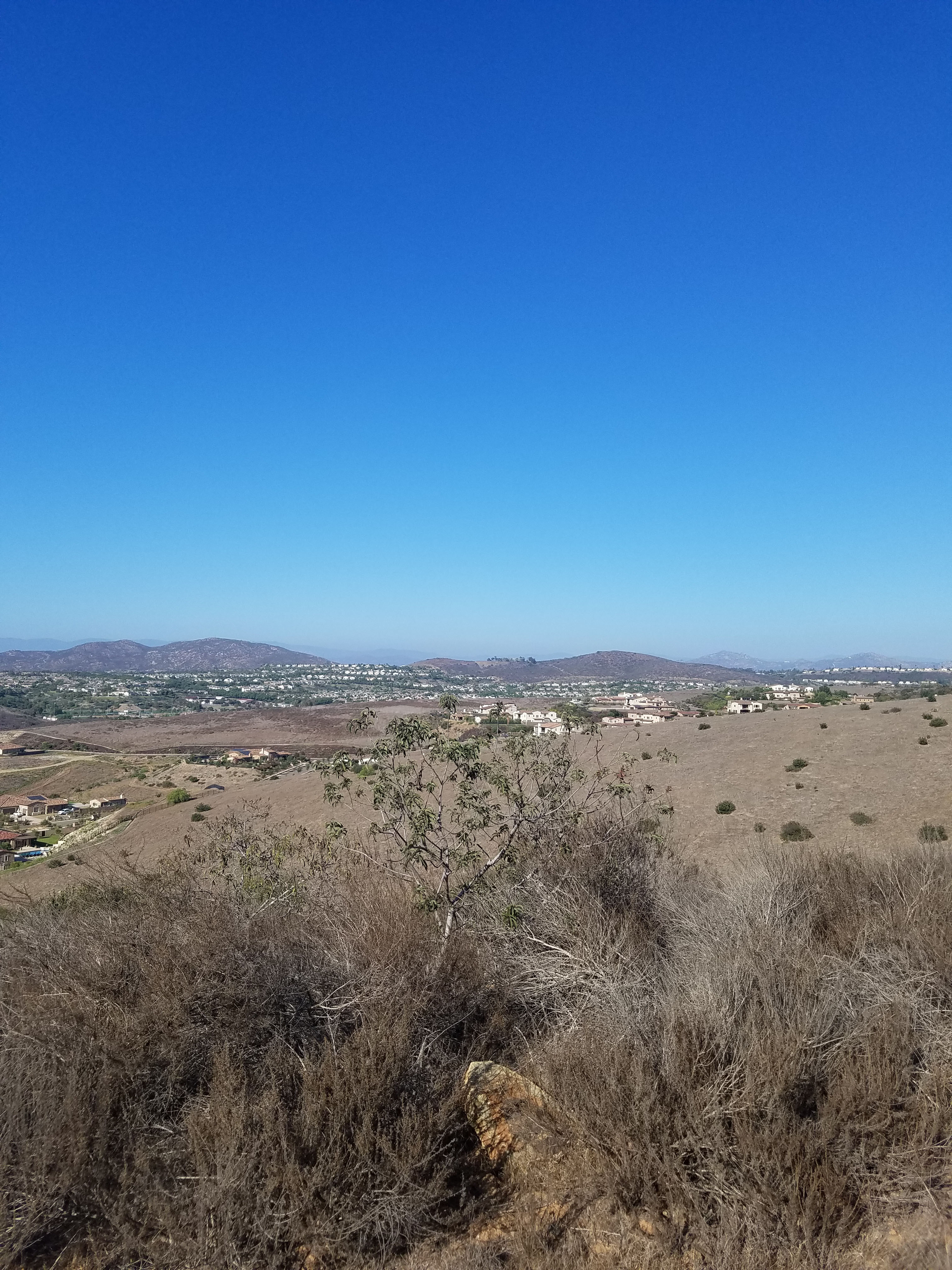
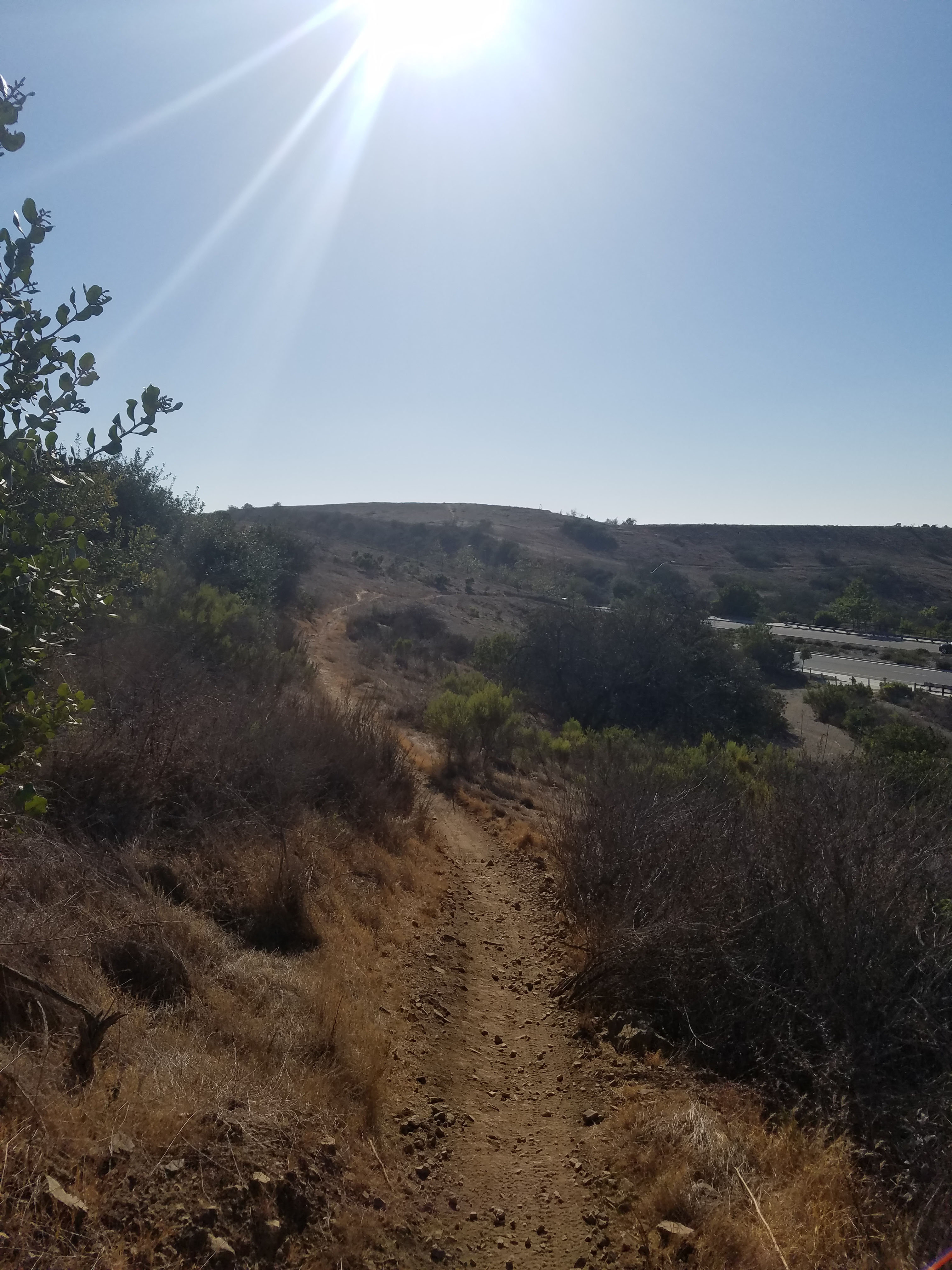
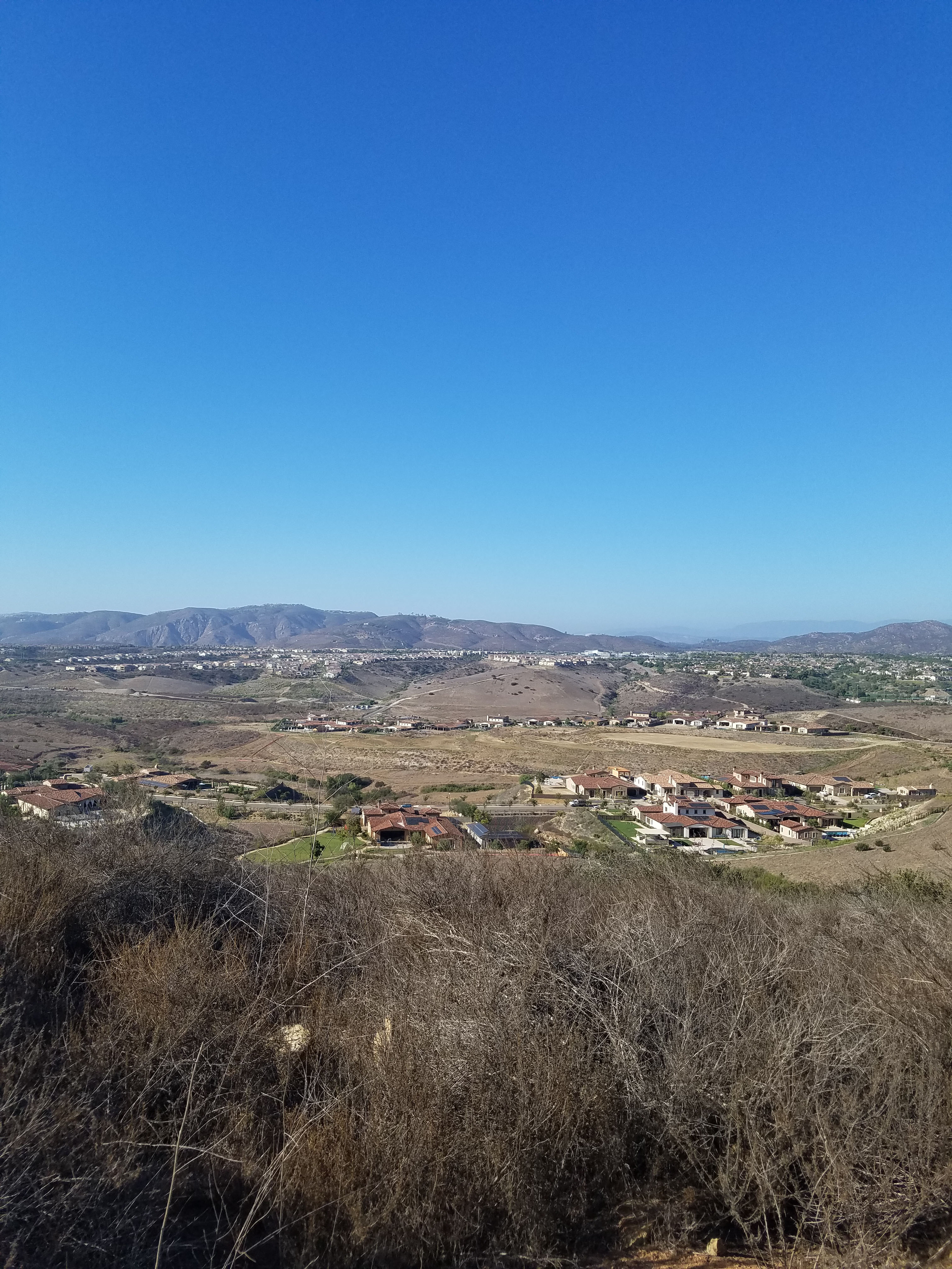
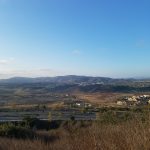
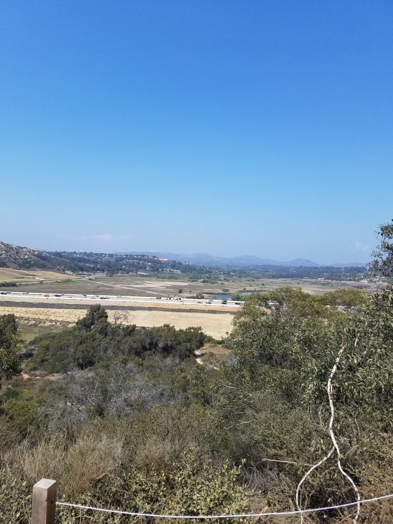
The steepest decline in the trail is area around the Carmel Valley bridge. From that point you start to climb back up. You will get a great view of 4S Ranch and the hills towards Escondido.
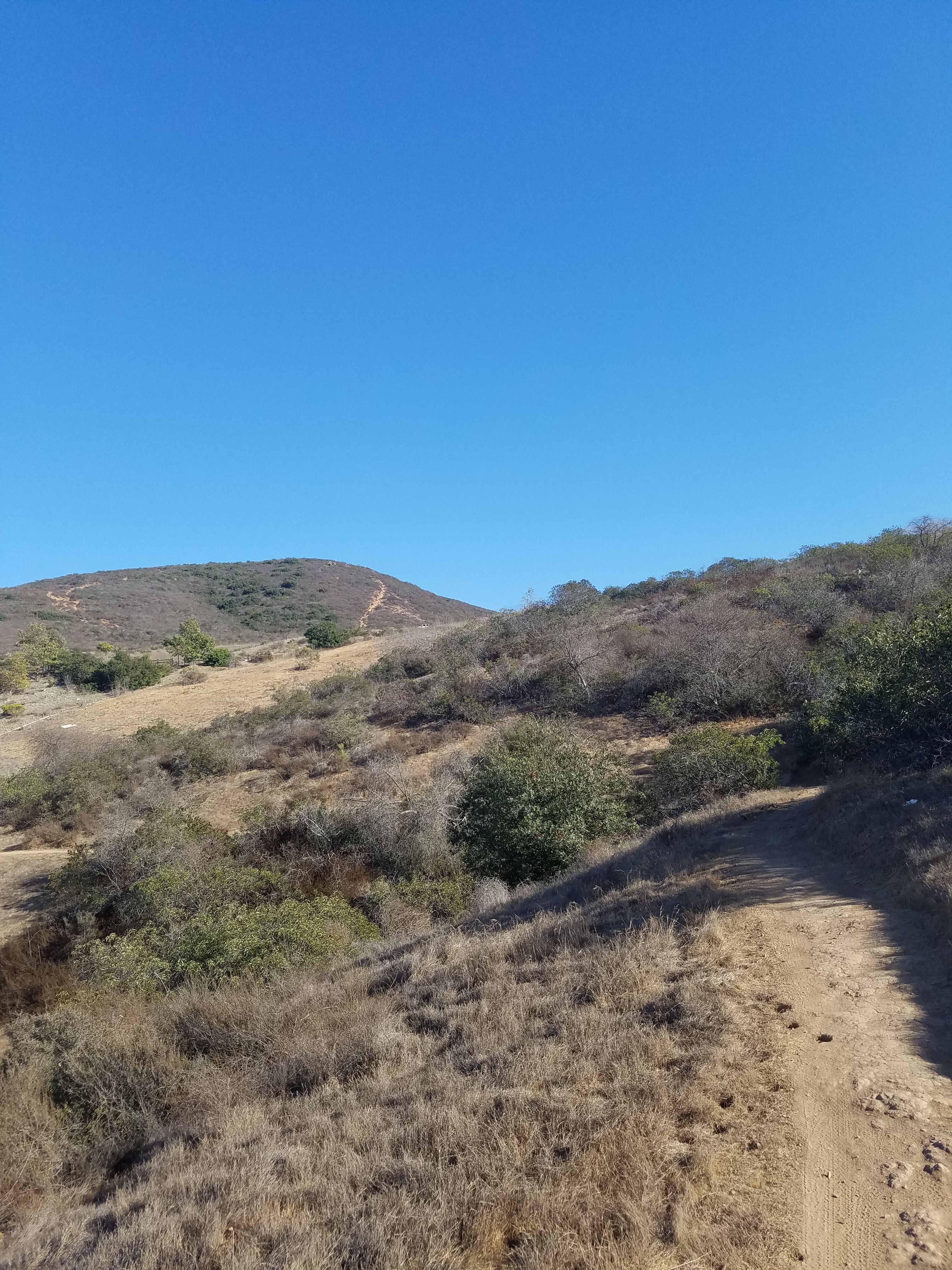
Ahwee Trail does another decline and ascent before reaching Black Mountain Community Park. In the 2-mile roundtrip I estimated a total 500 foot elevation gain and loss. In other words, a decent hike.
At Black Mountain Community Park, you simply turn around and head back the way you came. Of course, you could also continue on Lusardi Creek Loop Trail, but that hike is a 9-mile beast.
If you are just hiking Ahwee Trail we would actually recommend starting at Black Mountain Community Park. However, we like to combine Ahwee Trail with Lilac Canyon Trail. In this case, we park at the Miner’s Ridge Loop parking lot.
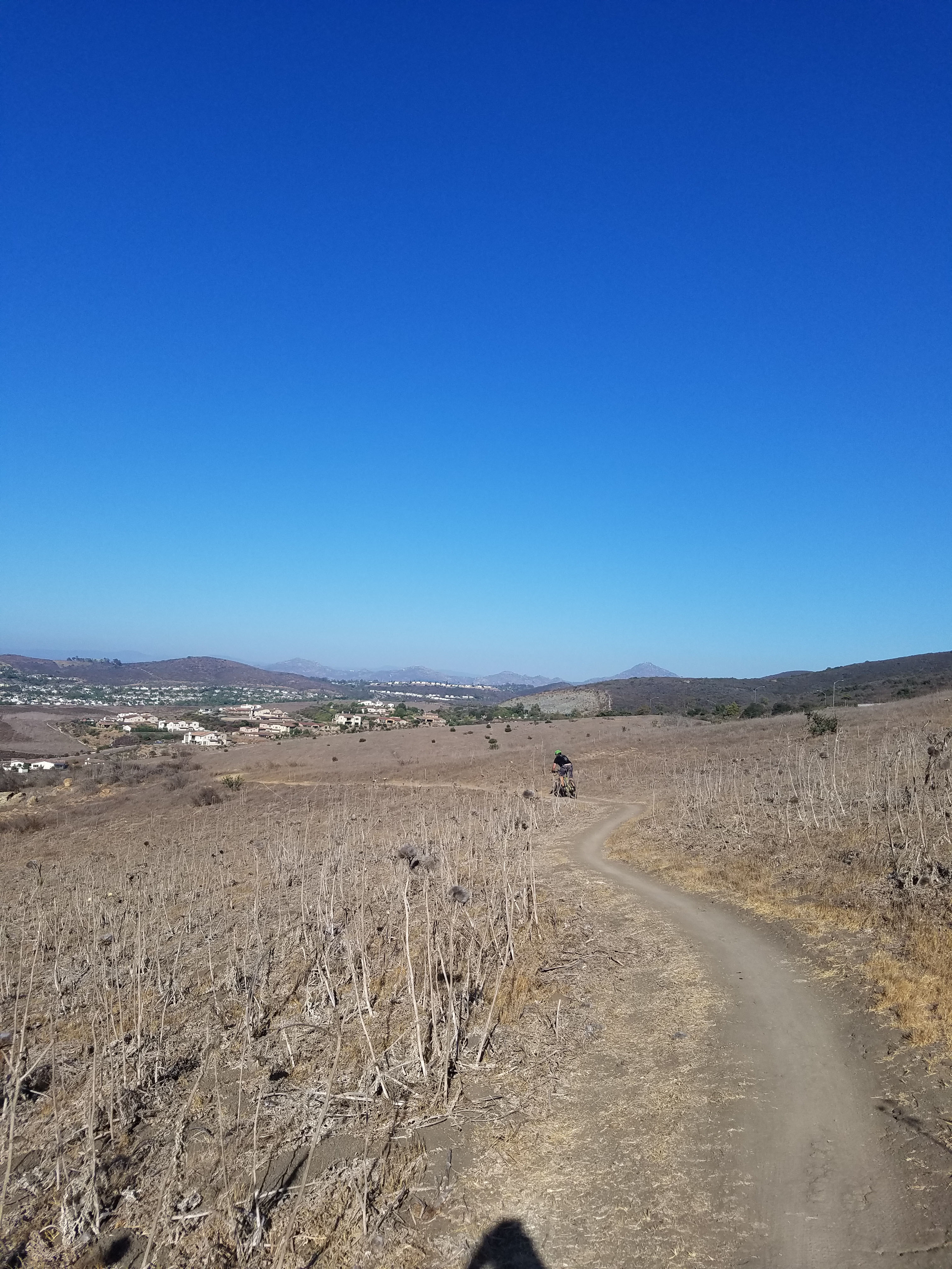
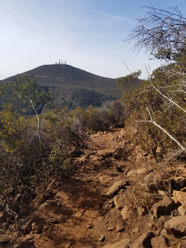
Lilac Canyon Trail is a curvy, but fairly flat trail that hugs the contours of Black Mountain. It is high enough that you get great views towards the northern areas of San Diego County. On clear days you can see the Pacific Ocean.
Combining Ahwee Trail and Lilac Canyon Trail gives you a relatively easy 4-mile hike. Check out our guide to Lilac Canyon Trail.
Of course, more extreme hikers and mountain bikers will look to combine Ahwee Trail with other trails in Black Mountain Open Space. This could include Miner’s Ridge Loop and Glider Point Trail. See our guide to all the hikes in Black Mountain Open Space Park.
One Comment
Comments are closed.