San Diego’s 59-Mile Scenic Drive Part Two
San Diego’s 59-Mile Scenic Drive is something we have always been familiar with. As you drive through the city, you can not miss the familiar seagull signs. However, until recently we had never formally taken the full tour. This is our pictorial guide to the 59-Mile Scenic Drive.
Jump Ahead To
Overview
The 59-Mile Scenic Drive is entirely within the city of San Diego. It goes by almost every major attraction and most of the city’s coast. Over the years we have done every portion of the drive on a frequent basis. However, we had never taken the time to do the full drive.
The COVID-19 stay-at-home alert inspired this full trip along the 59-Mile Scenic Drive. Not only were major San Diego attractions closed, but beaches and parks were also closed. The drive was a perfect alternative.
It turns out the 59-Mile Scenic Drive is a great way to get an overview of San Diego. There are many places to stop and enjoy the scenery. A complete drive, including stops, is likely to take a full day. This is on the list of top free San Diego attractions.
We split the drive into two roughly 30-mile portions. The first portion starts in downtown and loops past the airport and through Point Loma. From there it goes through Mission Bay, up Mount Soledad and ends at UCSD.
The second portion starts at UCSD and heads through La Jolla, Pacific Beach, and Mission Beach before turning inland towards Old Town and some of San Diego’s oldest neighborhoods. It goes through the heart of Balboa Park before ending back in downtown San Diego.
Almost all the pictures were taken from the car by our kids. However, we have also included links to more detailed overviews of the attractions along the drive.
The blue and white seagull signs make the drive easy to follow. Of course, there are many places to stop along the way. Our recommendation would be to combine the drive with some stops to walk around, have lunch and enjoy the scenery.
This is part two.
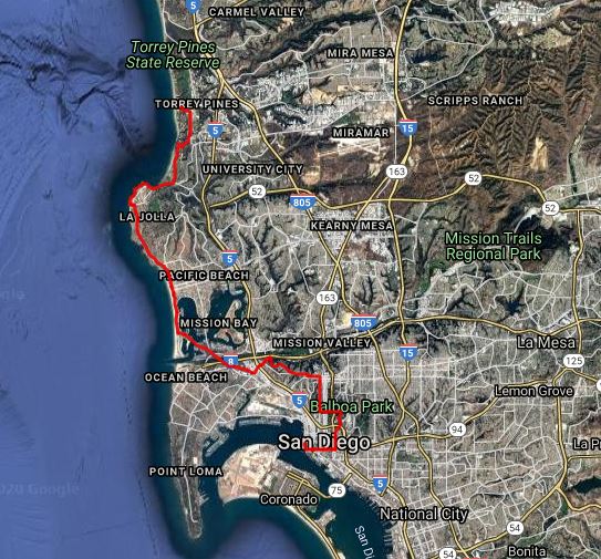
UCSD/La Jolla
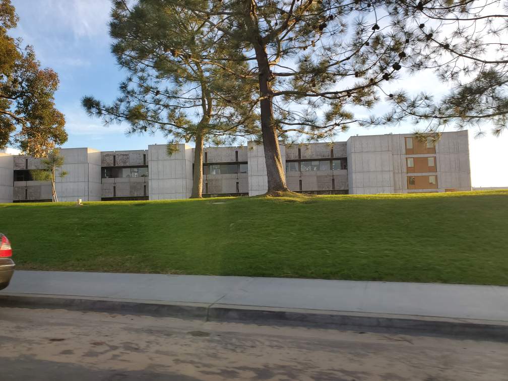
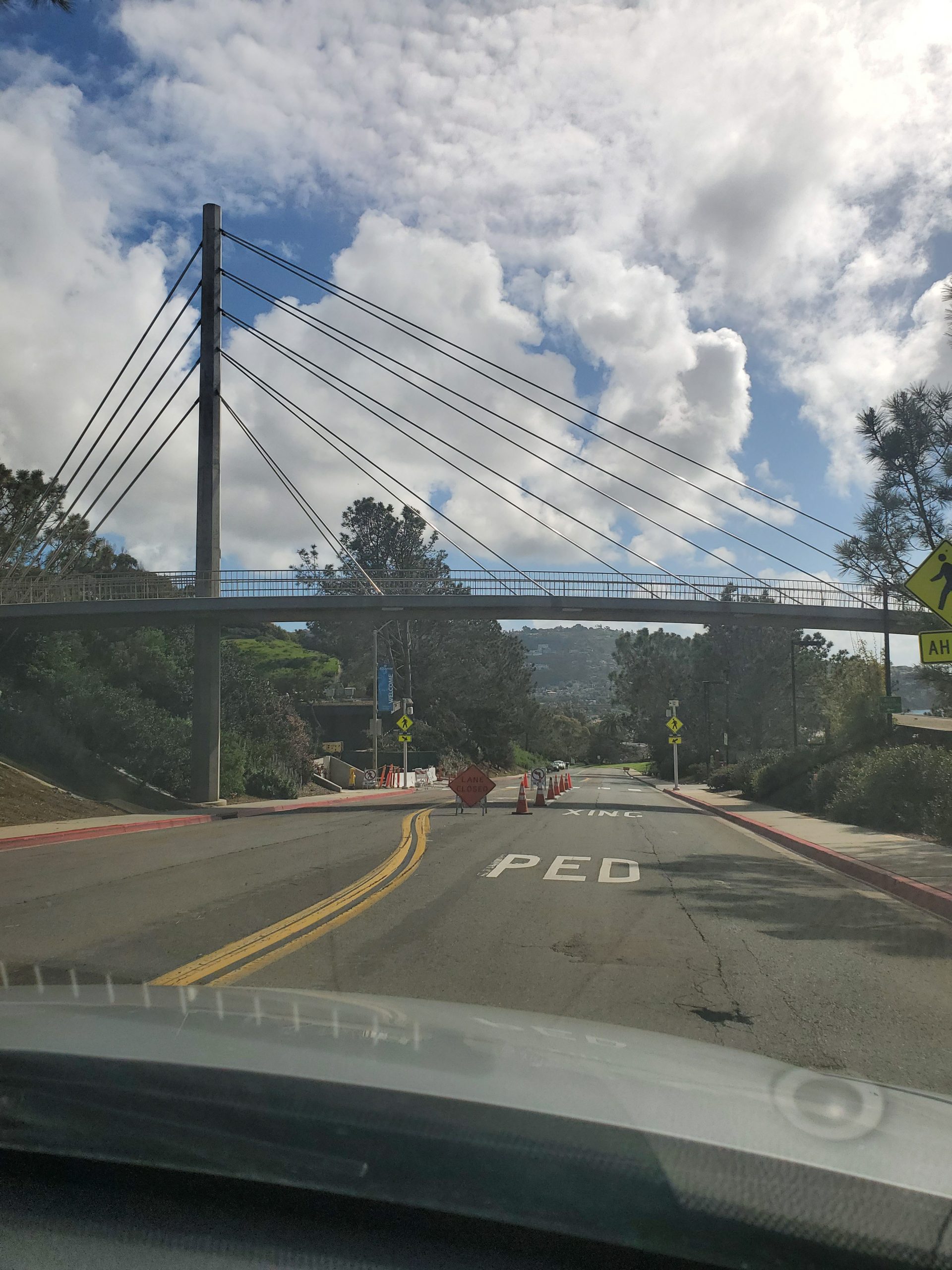
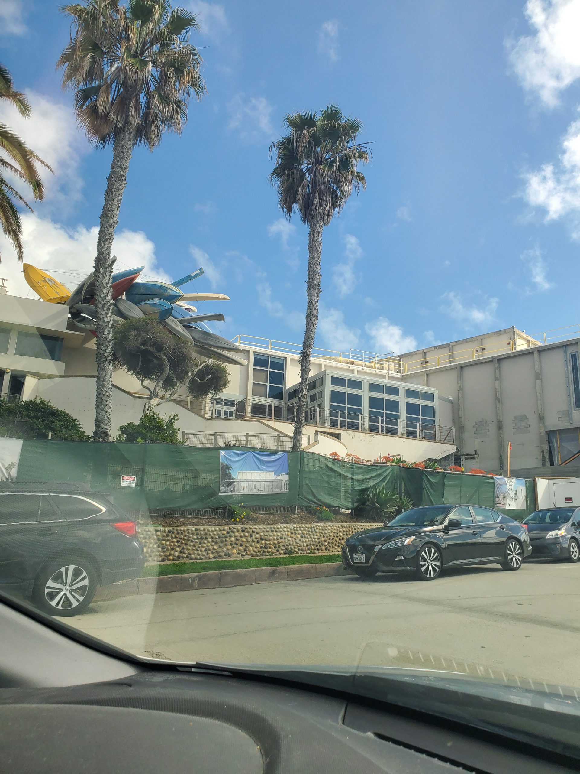
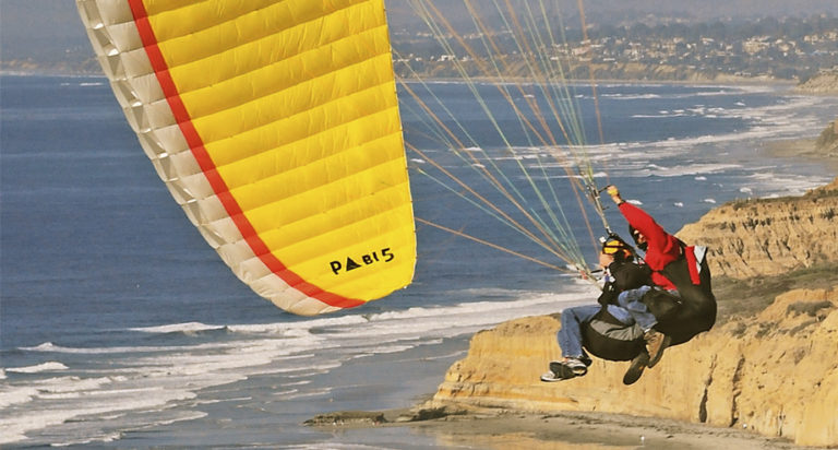
This part of the drive starts by the campus of the University of California San Diego (UCSD). The Torrey Pines Gliderport is not officially on the drive, but it provides a good place to start. The Gliderport is at the intersection of North Torrey Pines Road and Torrey Pines Scenic Drive. On the corner is the Salk Institute, named for Jonas Salk inventor of the polio vaccine.
We did this drive during the coronavirus epidemic, so the Salk Institute serves as perfect start/ending point. The Salk Institute and UCSD continue to work on vaccines that save millions of lives.
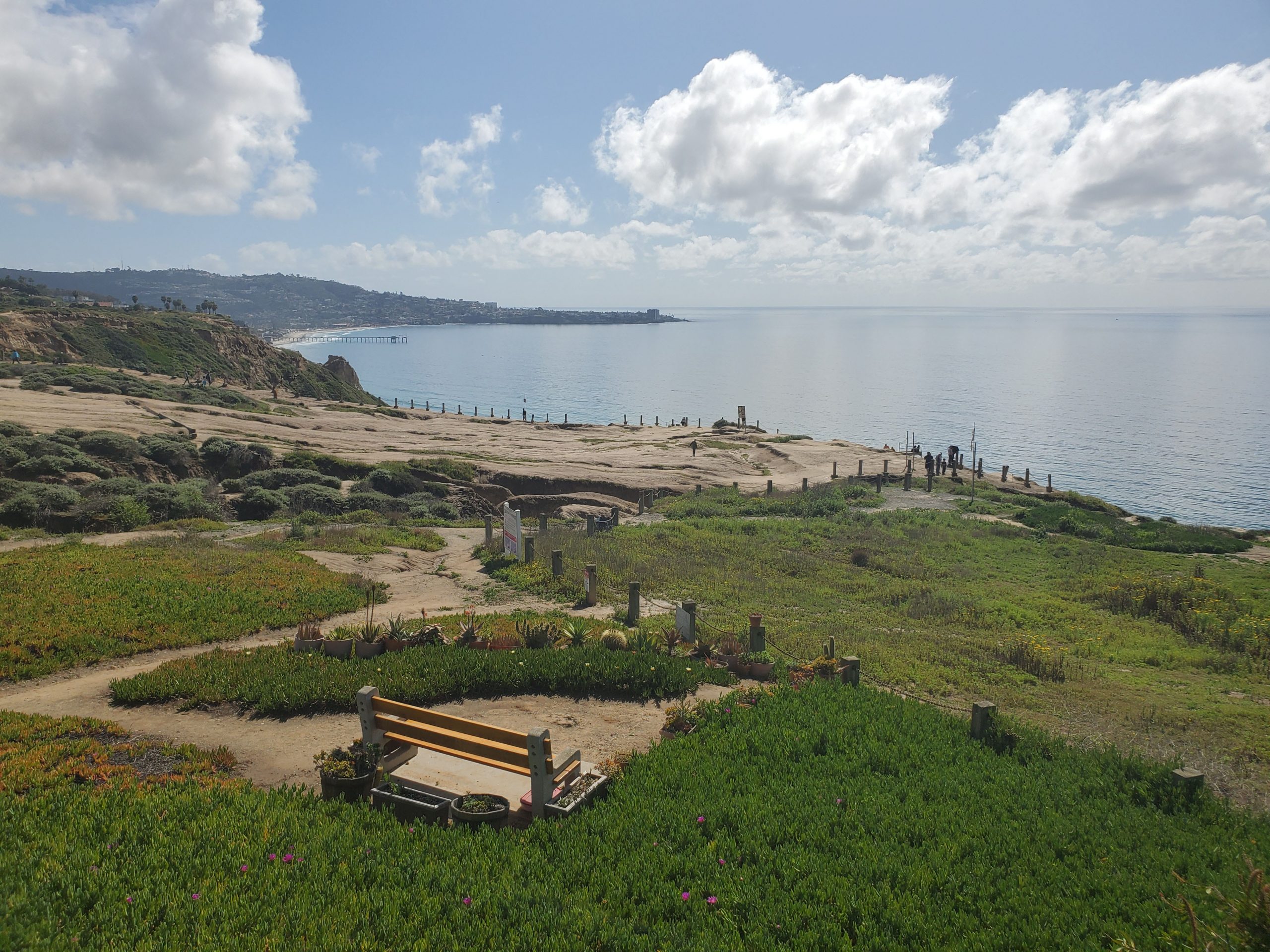
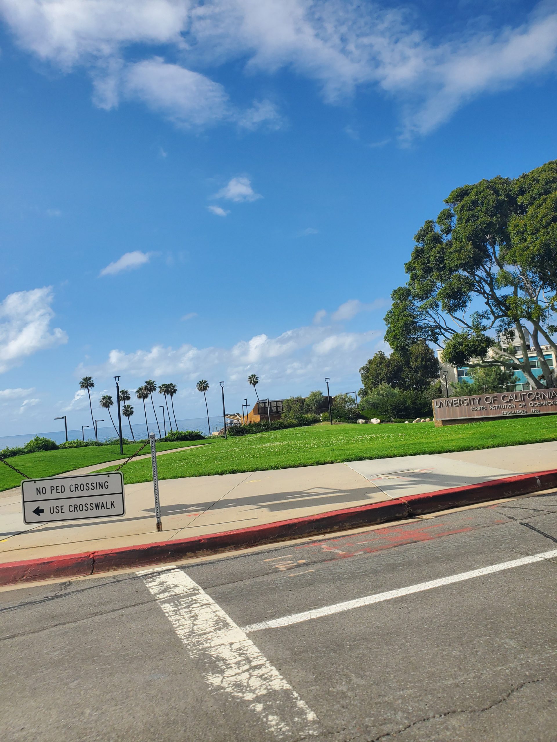
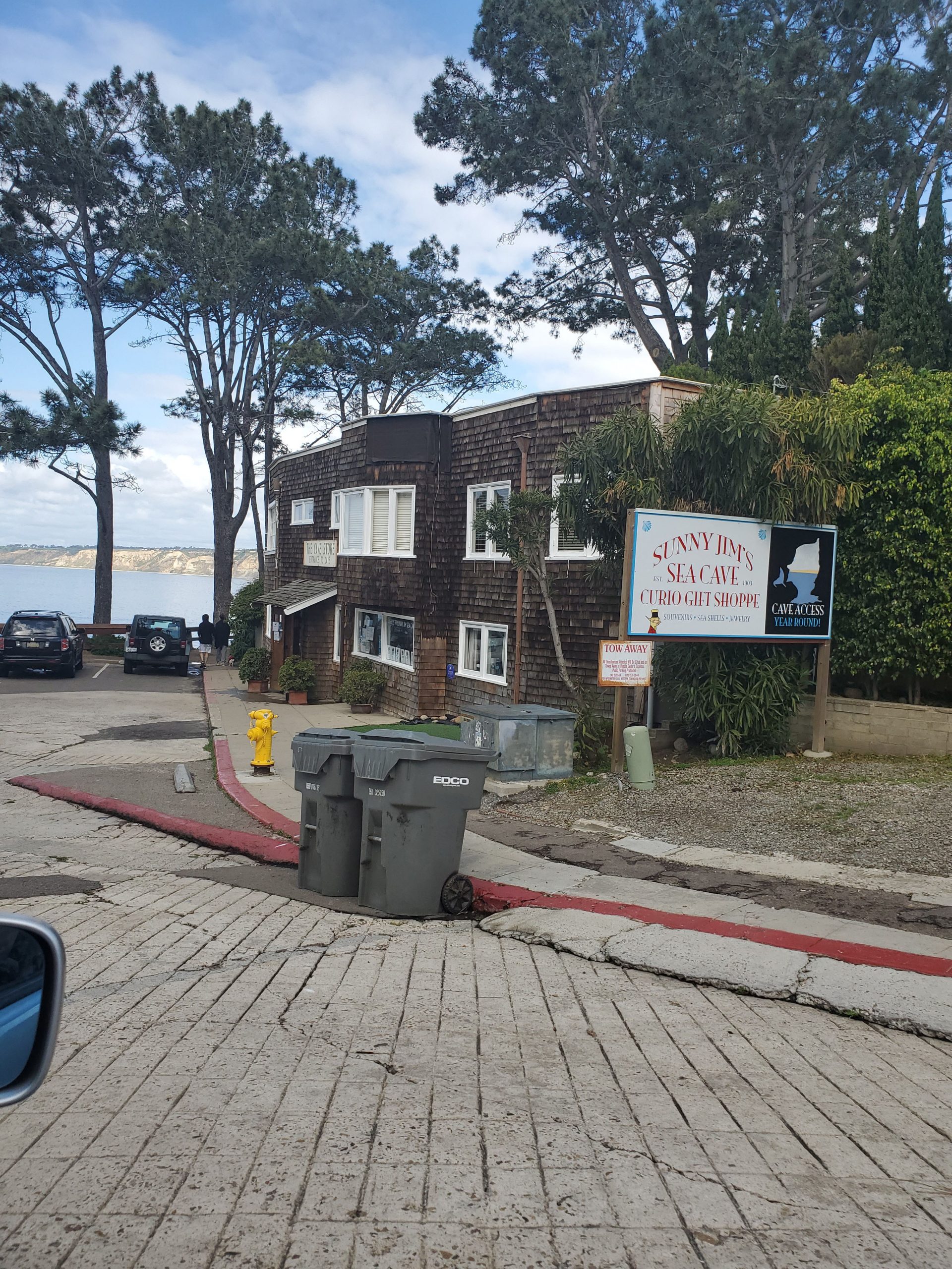
At the intersection of North Torrey Pines and La Jolla Shores Drive, the route heads downhill along La Jolla Shores Drive. Toward the bottom of the hill, on the right, is the Scripps Institute of Oceanography. Scripps Beach near the Scripps Pier is one San Diego’s best areas for exploring tide pools. The Birch Aquarium sits on the hill above the pier.
La Jolla Shores is one of San Diego’s best beaches for families. In late summer and early fall the area is home to leopard sharks. It is also where many of the ocean kayaking tours operate.
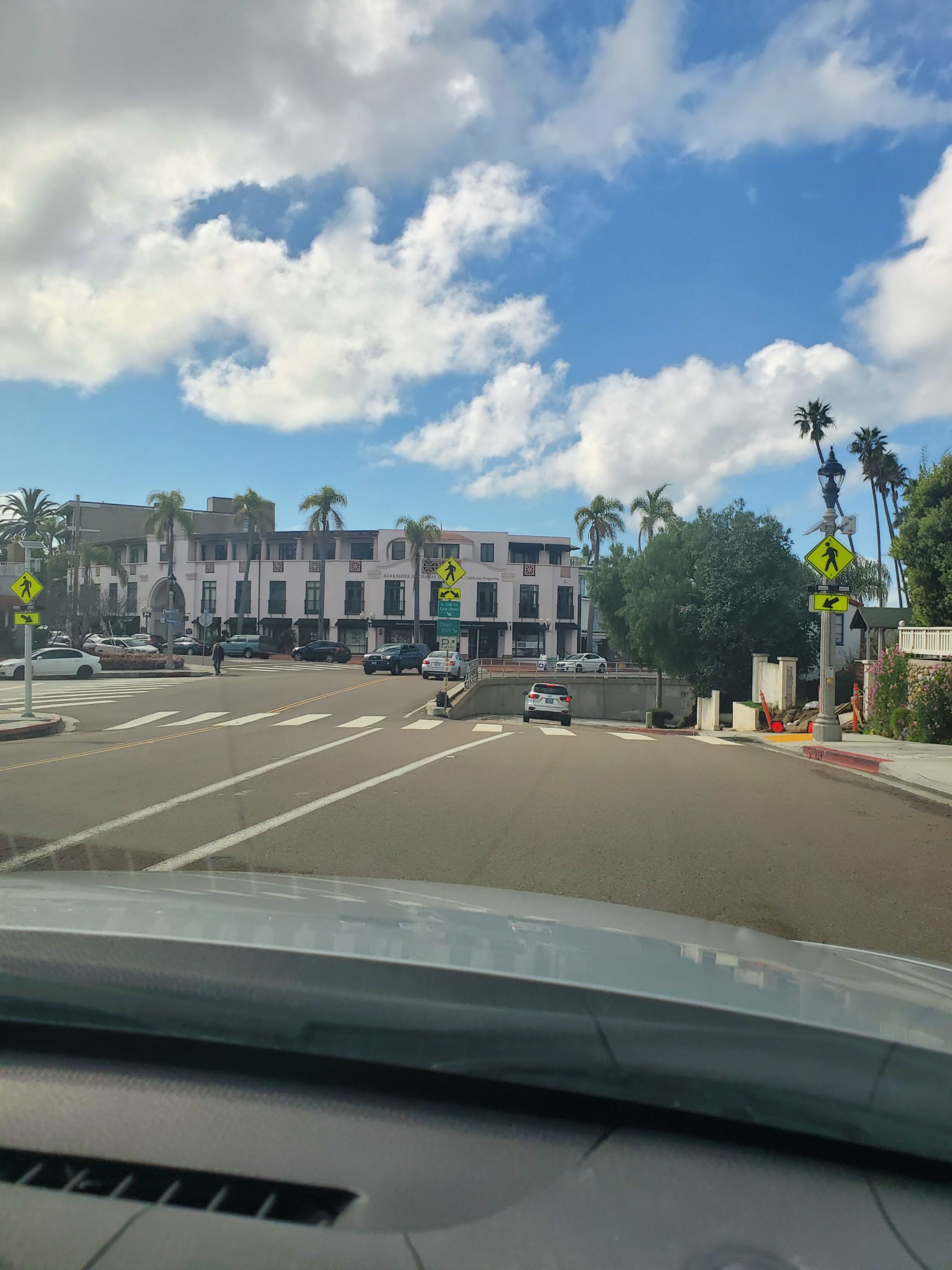
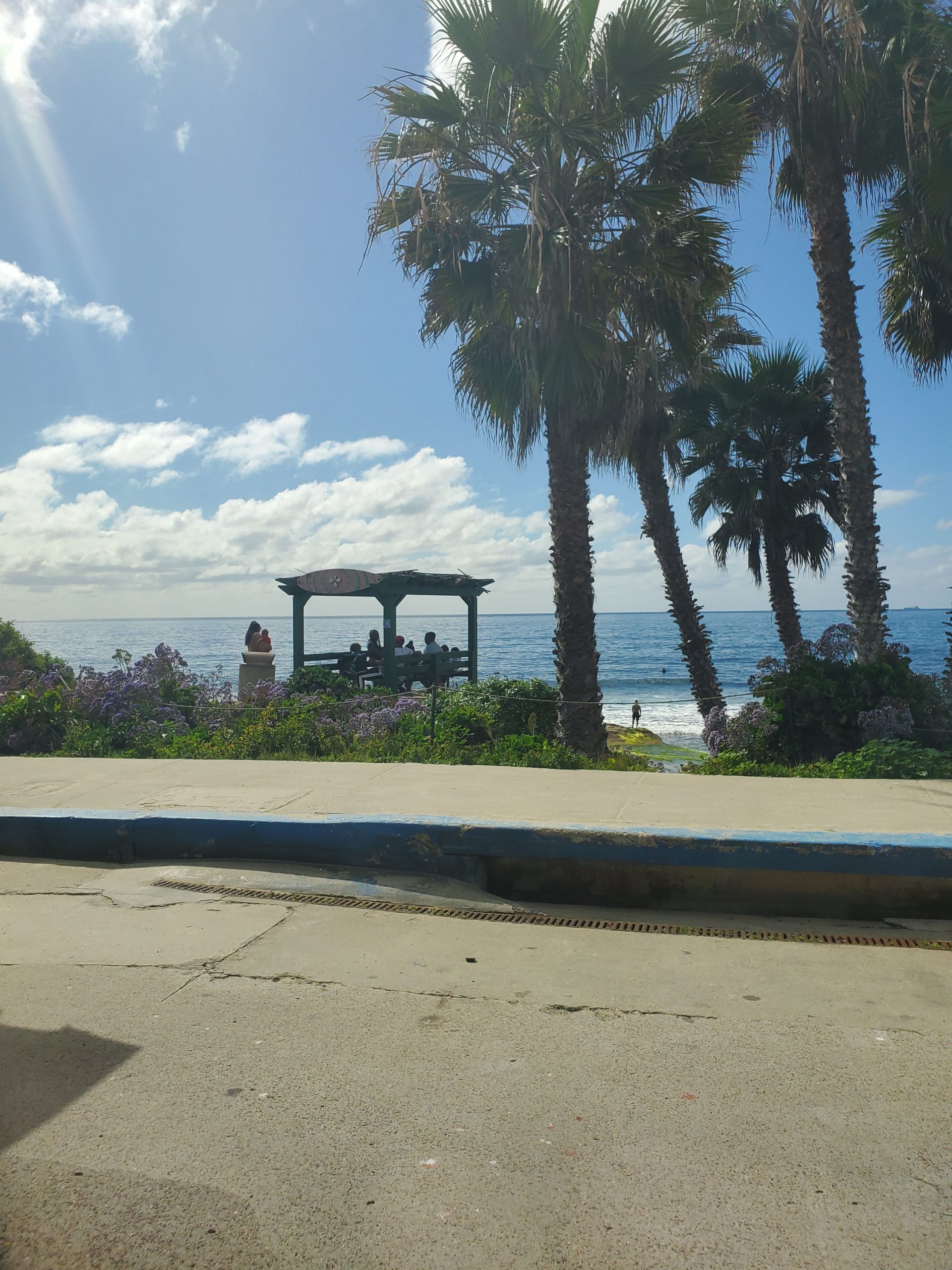
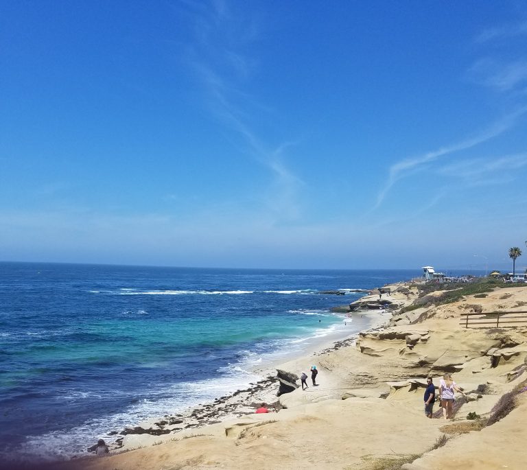
La Jolla Shores Drive ends at Torrey Pines Road. The route goes to the right, up the hill to Prospect Street at the center of La Jolla. A short distance after turning right on to Prospect, the San Diego Scenic Drive branches right on Coast Boulevard down to La Jolla Cove. La Jolla Cove is a prime spot for snorkeling. This area is also a great place for a picnic with a large grassy area. A great stop is taking a scenic walk through La Jolla with its many restaurants and shops directly above the cove in downtown La Jolla.
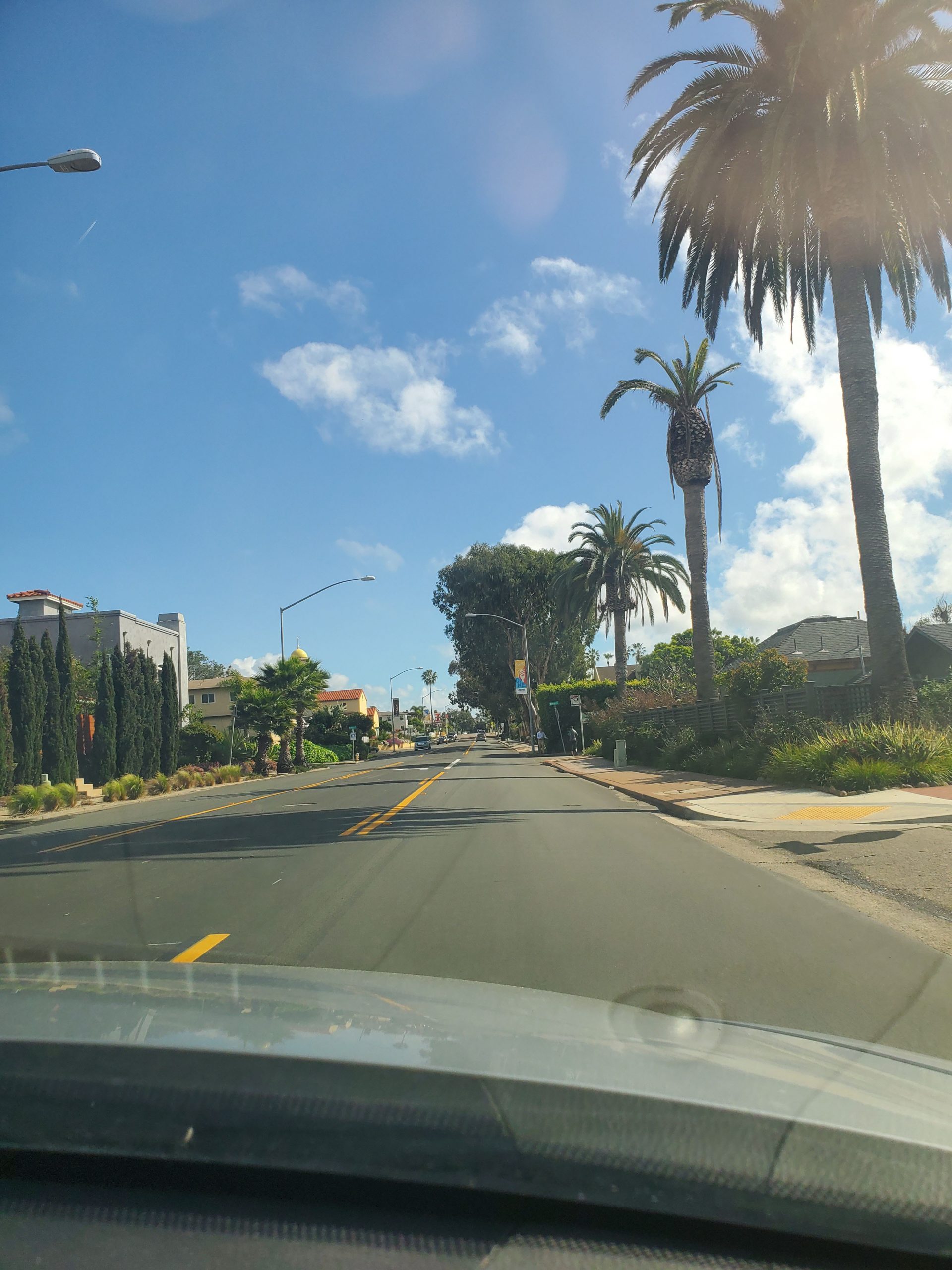
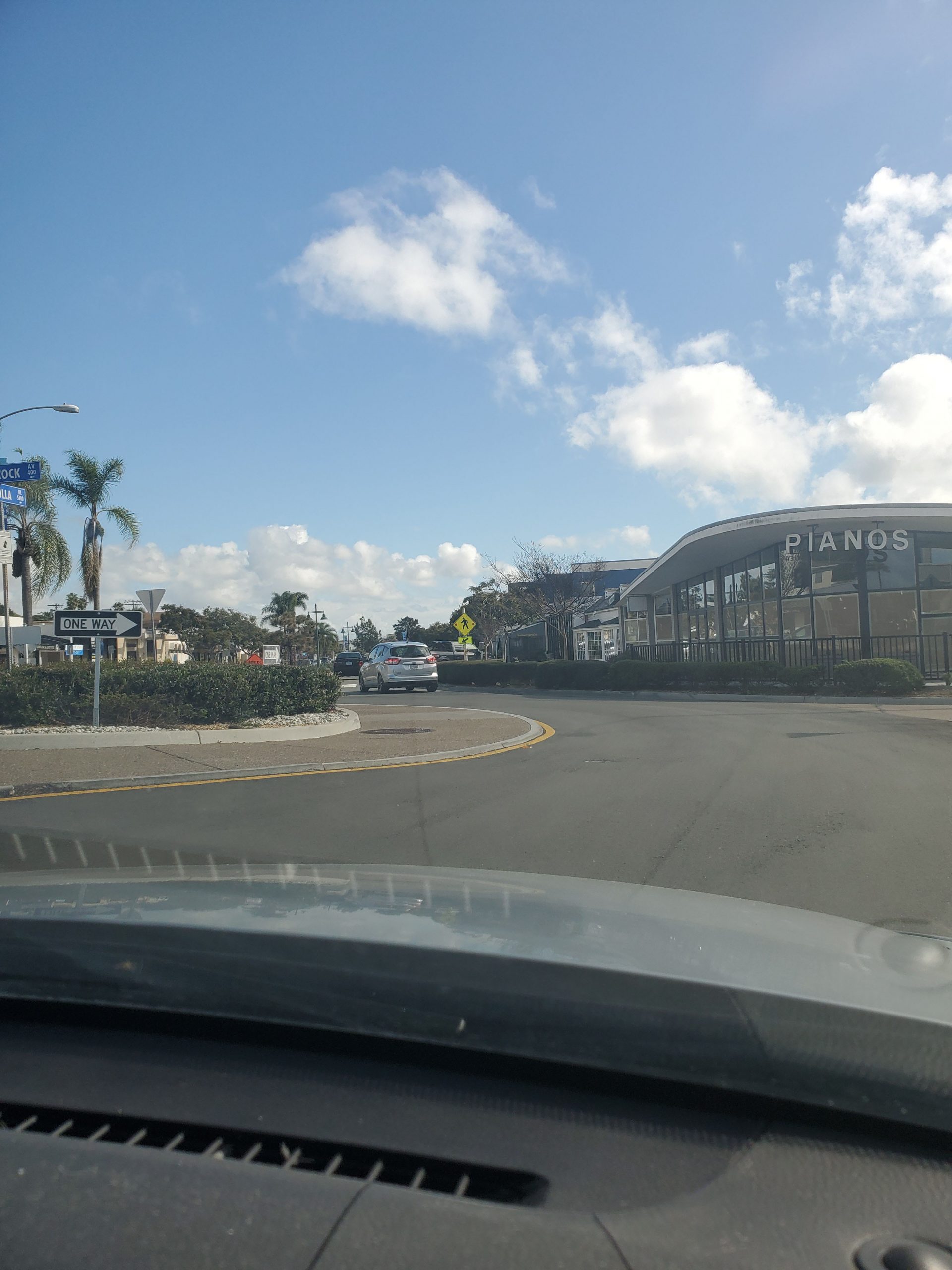
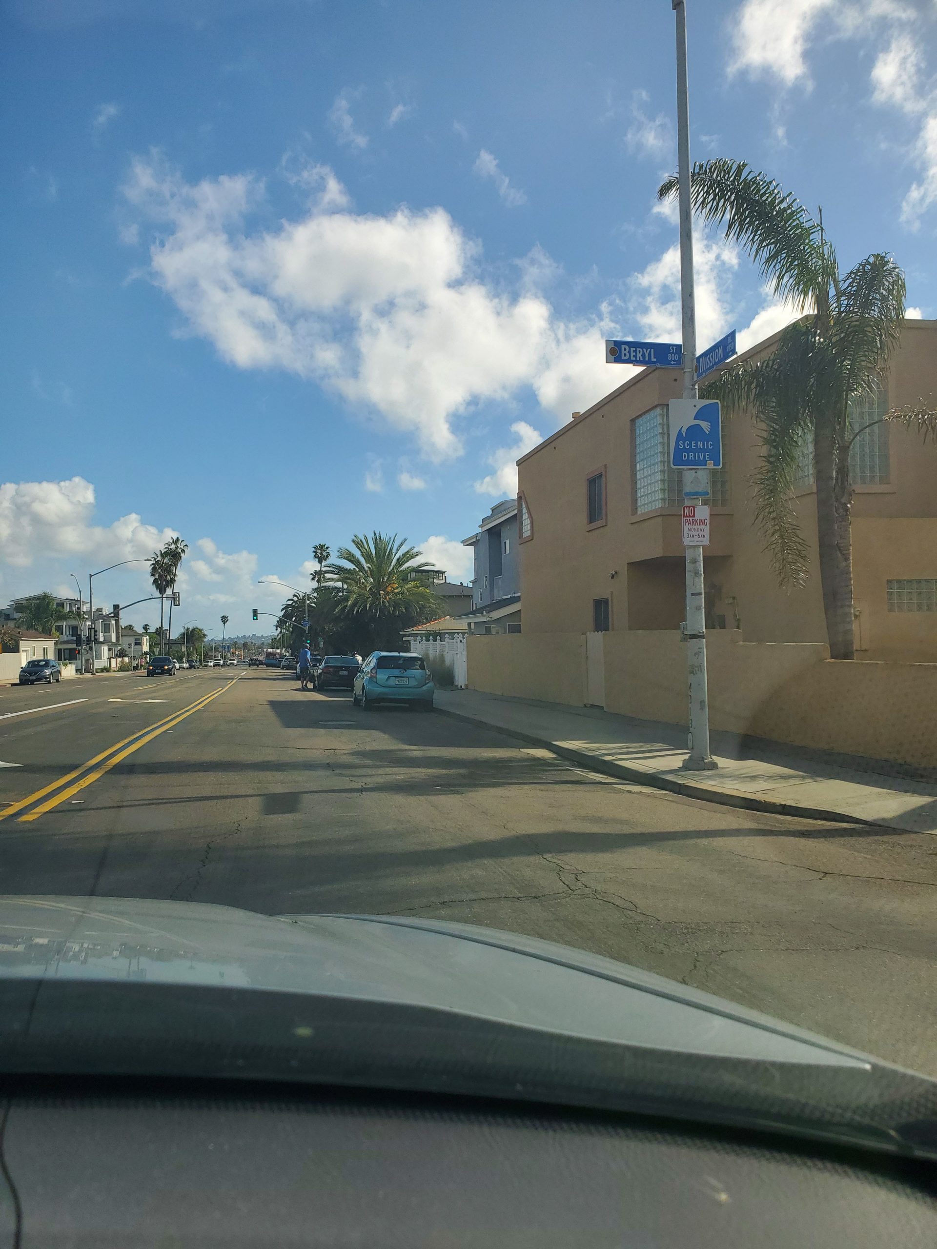
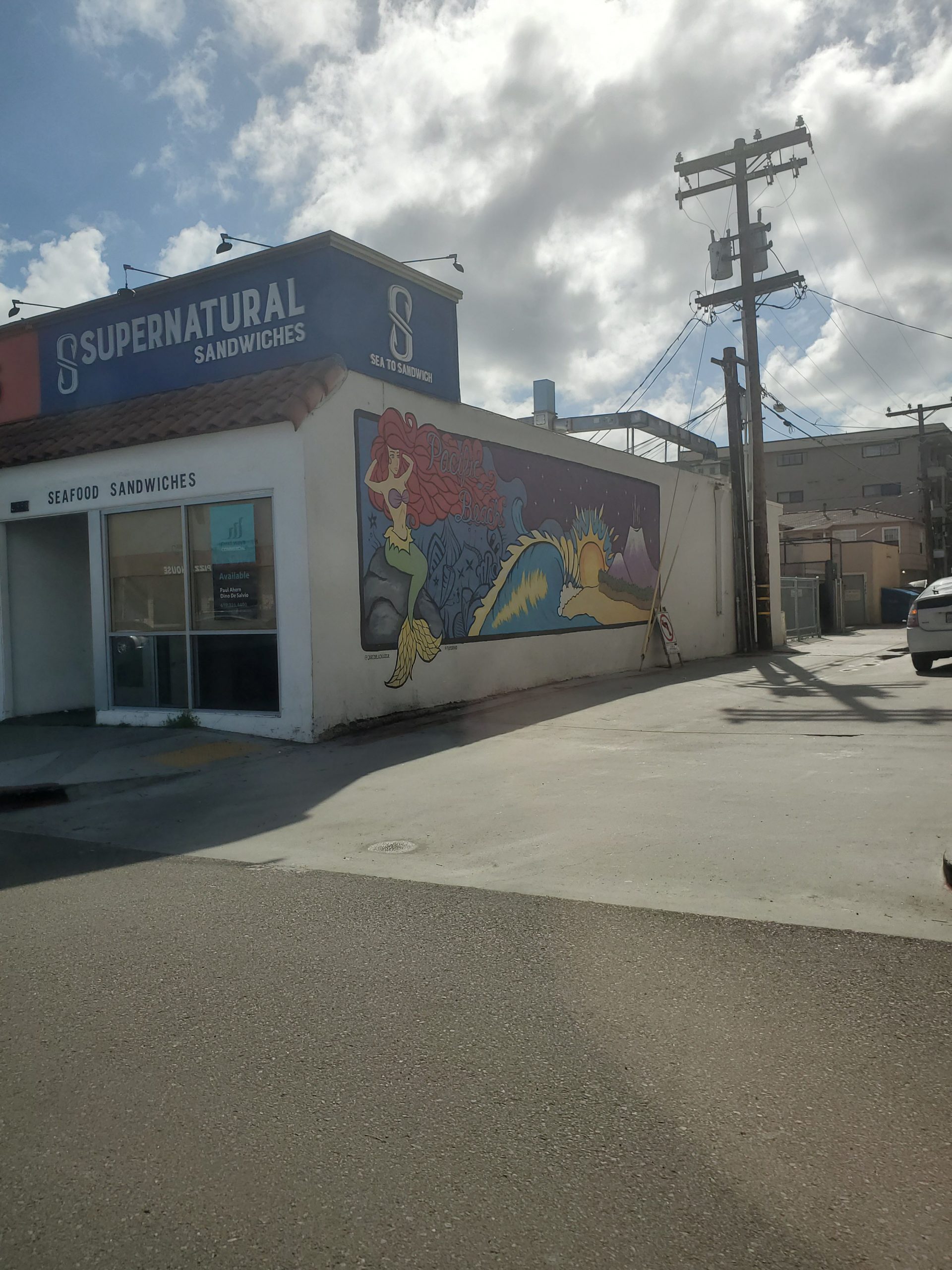
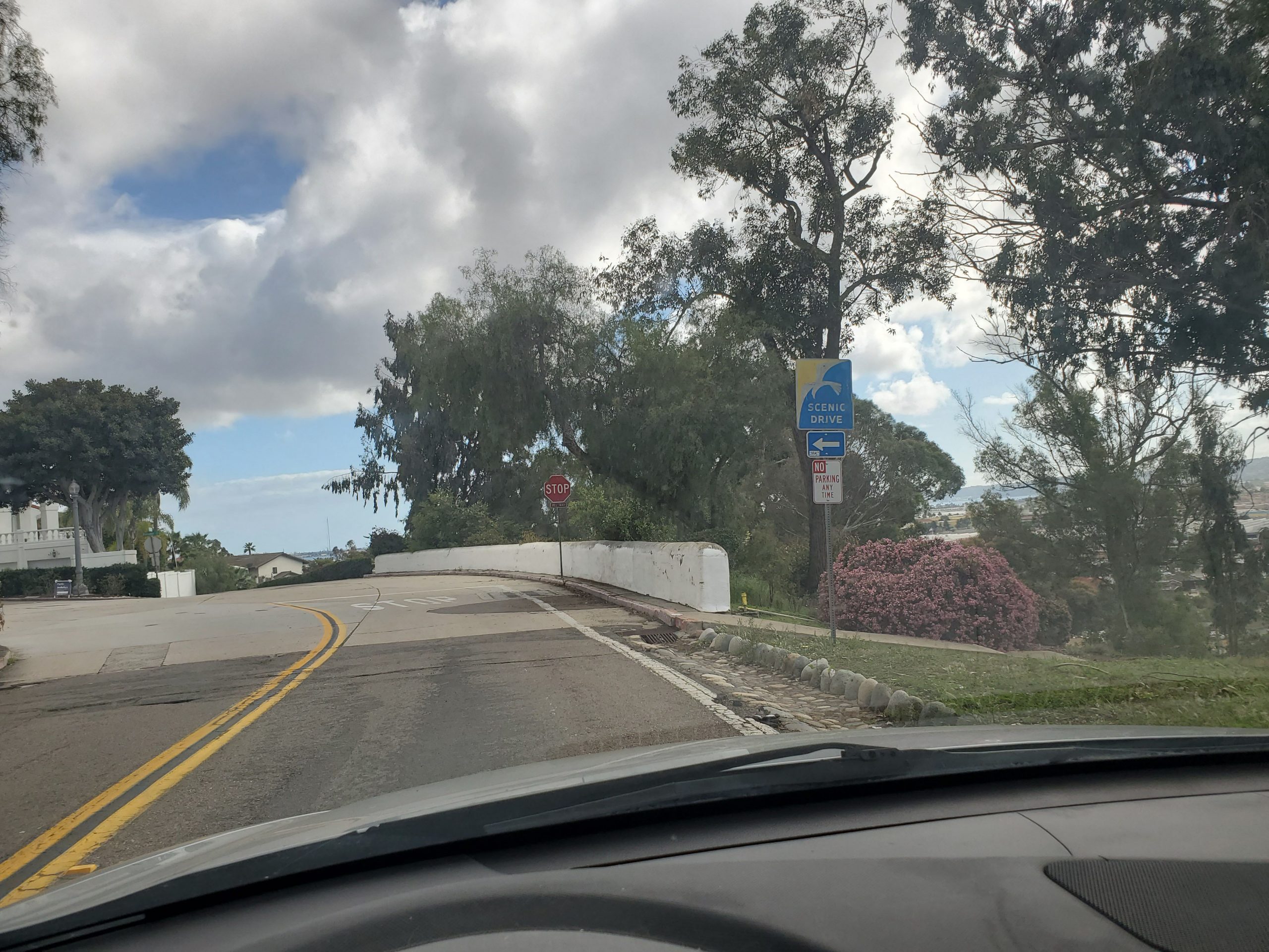
The familiar San Diego Scenic Drive seagull sign provide solid direction as the route makes a right on Olivetas Ave, followed by an immediate left on Pearl St and a right on La Jolla Boulevard. La Jolla Boulevard runs through Bird Rock, La Jolla’s southern beach community. San Diego’s best coffee shop, Bird Rock Coffee Roasters and a great Mexican taco shop, Don Bravo Grill are both located right on La Jolla Blvd. Bird Rock leads directly into San Diego’s largest beachfront community, Pacific Beach.
Pacific Beach/Mission Beach
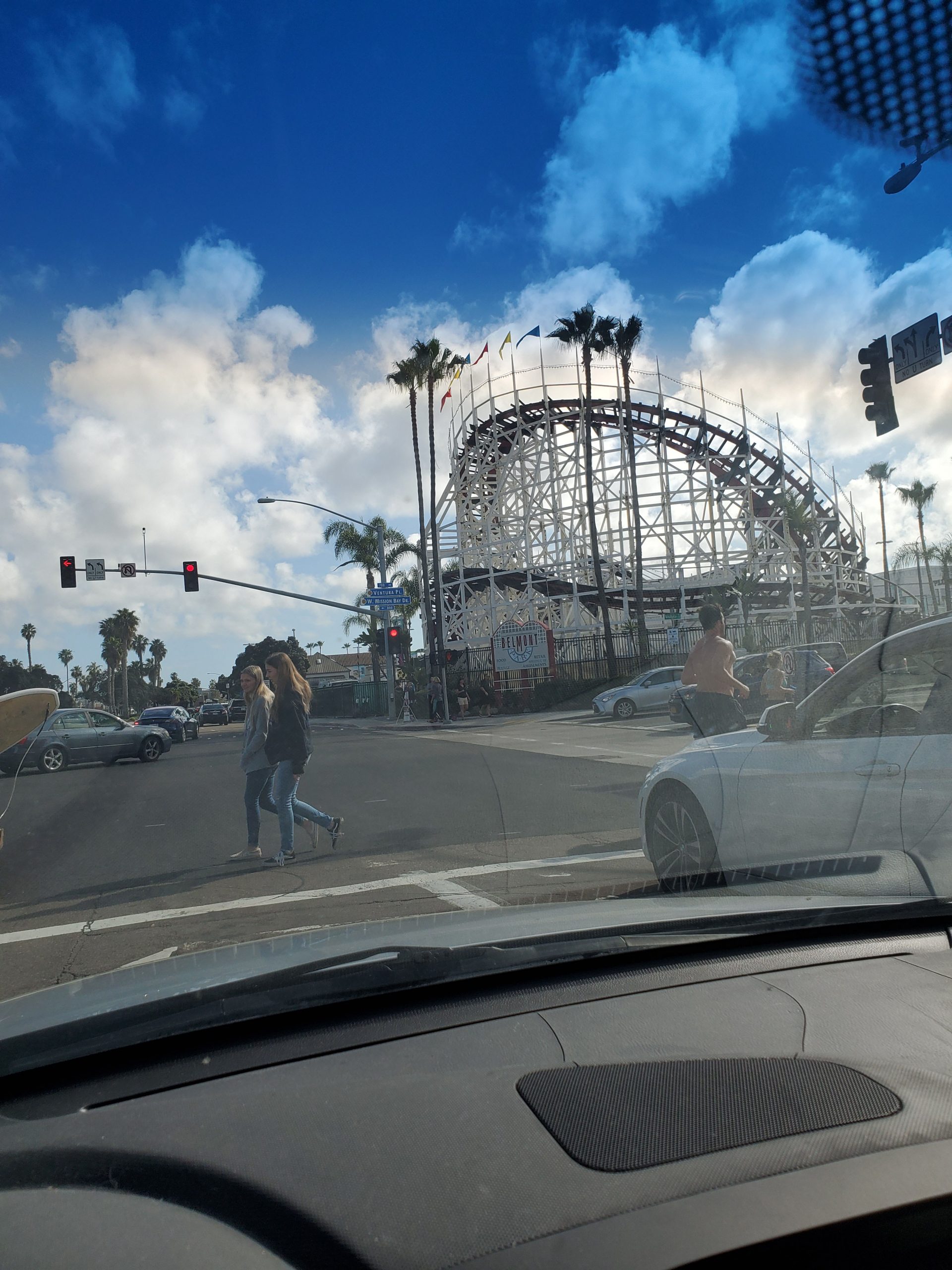
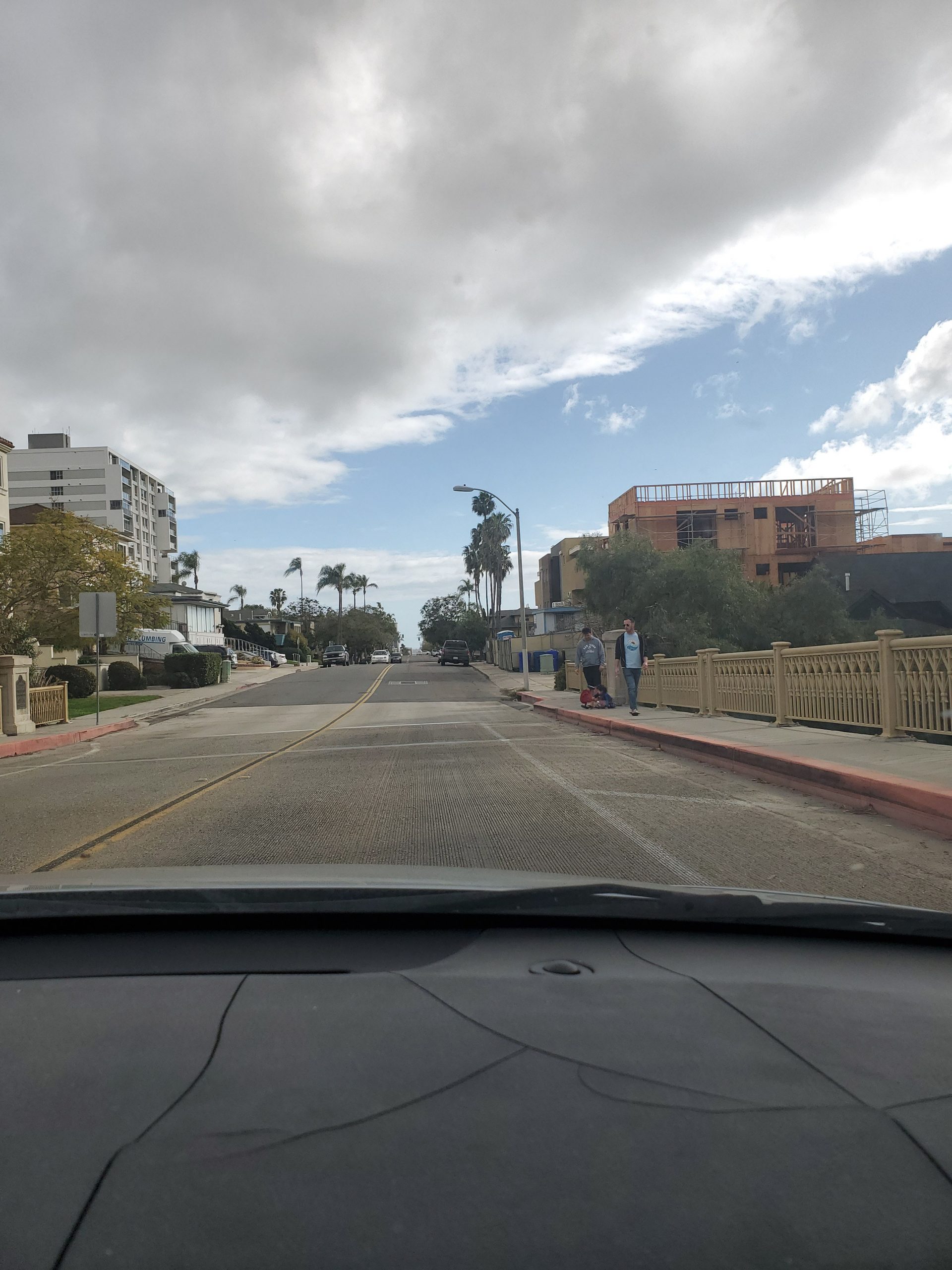
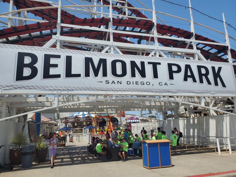
At the start of Pacific Beach, La Jolla Boulevard merges into Mission Boulevard. Pacific Beach and is southern neighbor, Mission Beach are classic Southern California beach communities. The area is lined with bars and restaurants. From Diamond Street south there is the Ocean Front Walk boardwalk that runs to Belmont Park. This is great place to walk or rent a bike or roller blades.
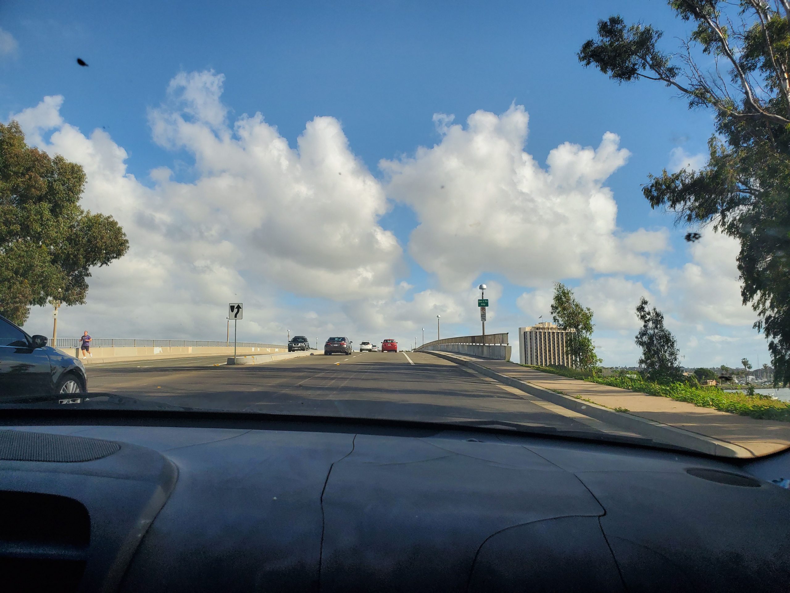
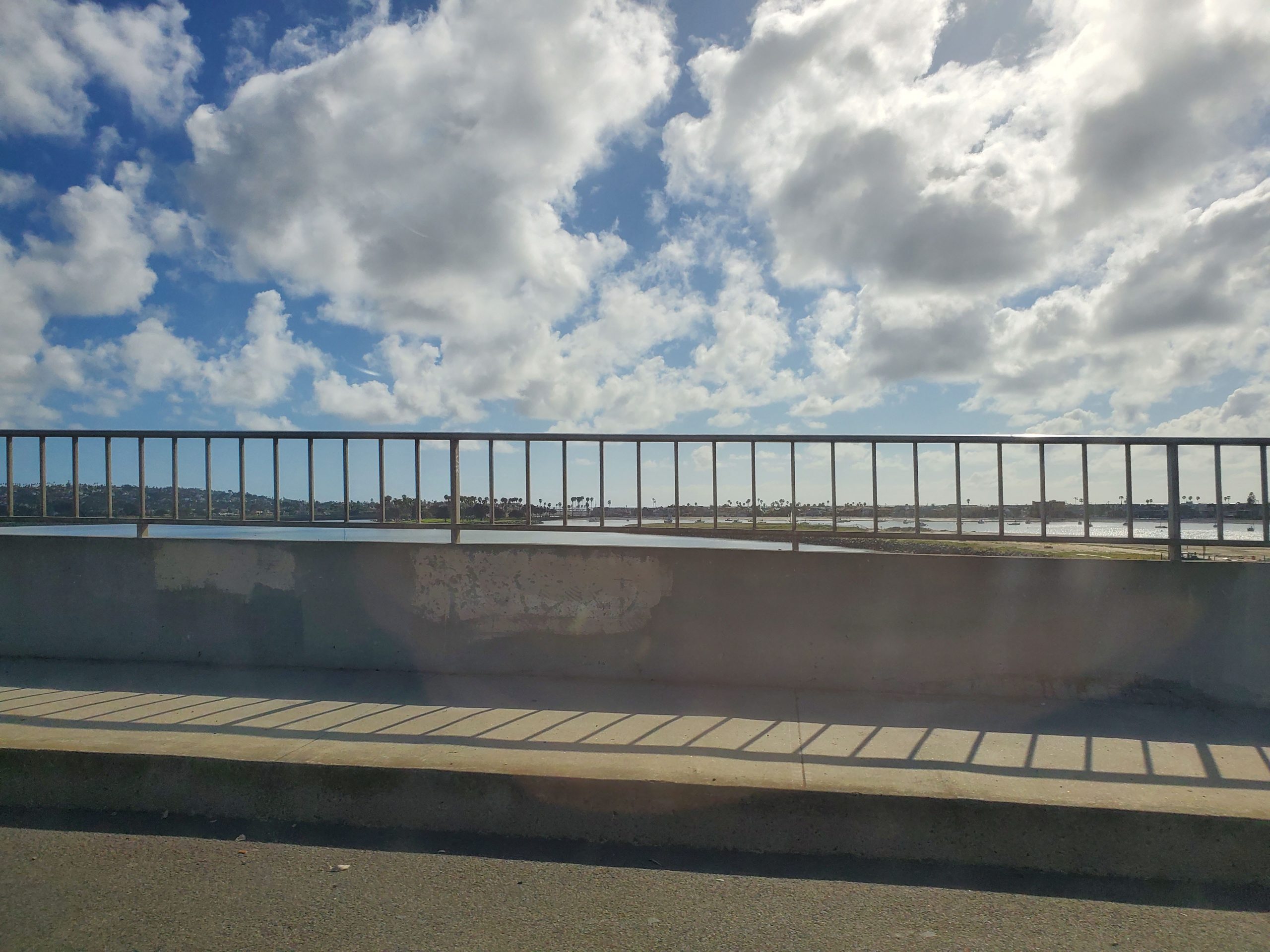
At the heart of Mission Beach is Belmont Park with its classic 1925 roller coaster. At this point the San Diego Scenic Drive turns left, heading inland on West Mission Bay Drive. This goes through the south end of Mission Bay, across two bridges and past SeaWorld.
Right after crossing the bridge over the San Diego River, the drive turns left on to Sports Arena Boulevard. The Sports Arena, now Pechanga Arena, has been a leading spot for sporting events and concerts since it opened in 1966. This is the Midway District, a fairly commercial area lined with shopping centers and chain restaurants.
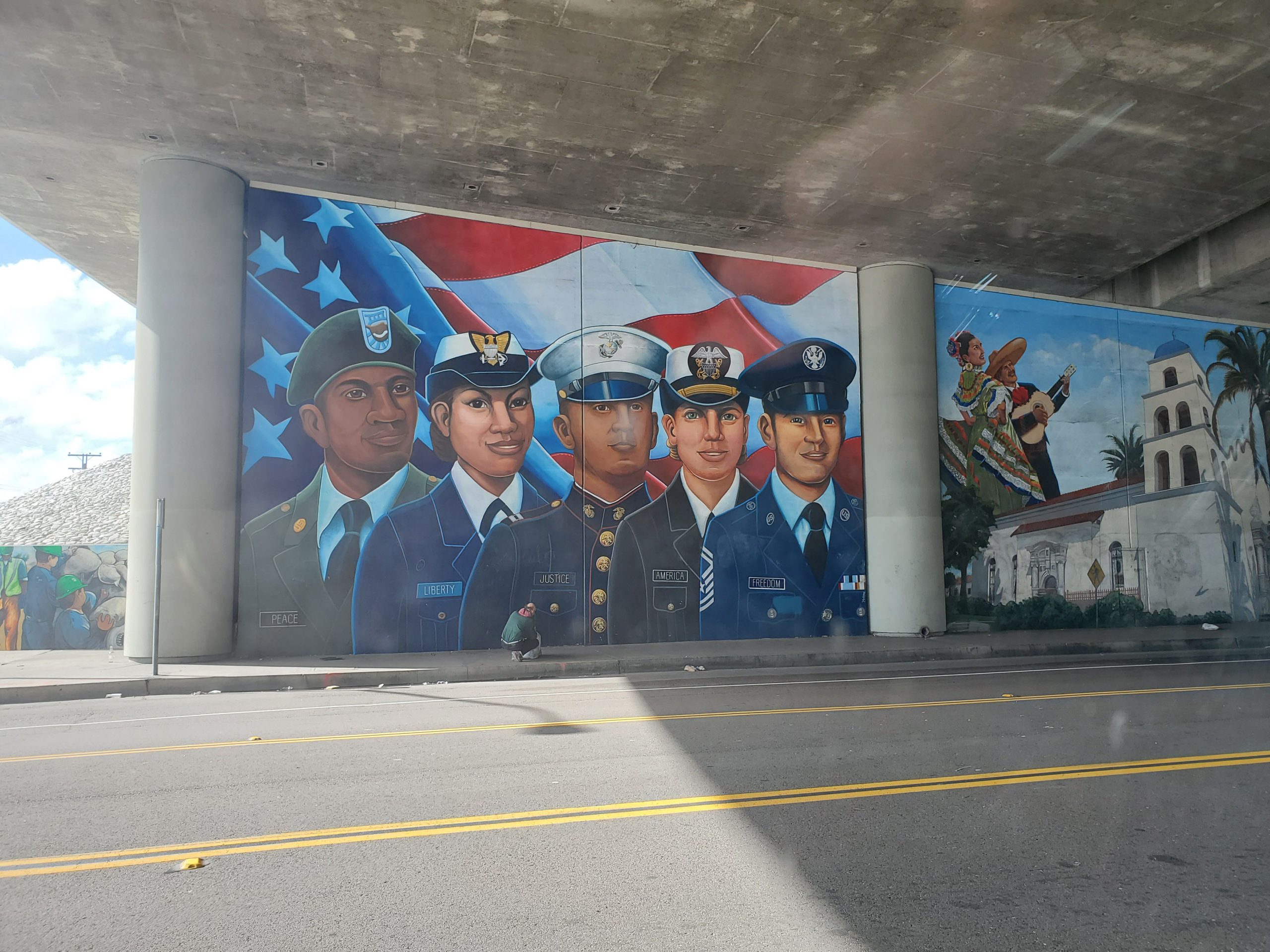
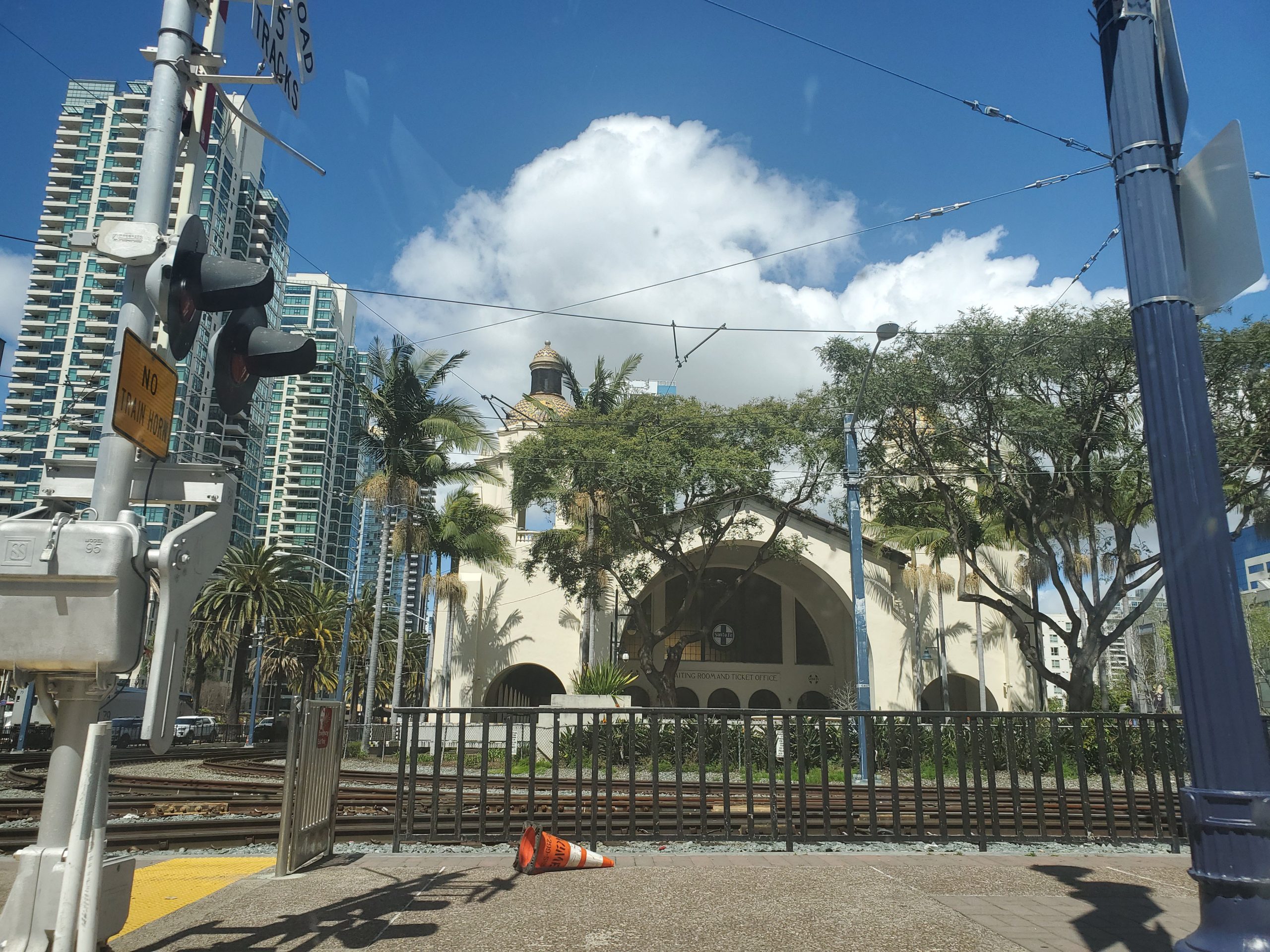
The San Diego Scenic Drive makes a left turn on Rosecrans Street, one of San Diego’s busiest intersections. Crossing under the I-5 freeway, Rosecrans becomes Taylor St entering Old Town San Diego.
Old Town to Hillcrest
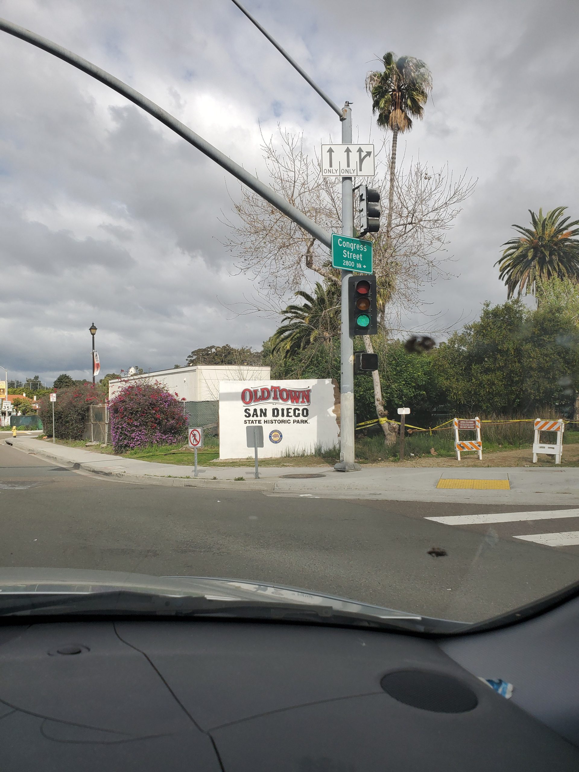
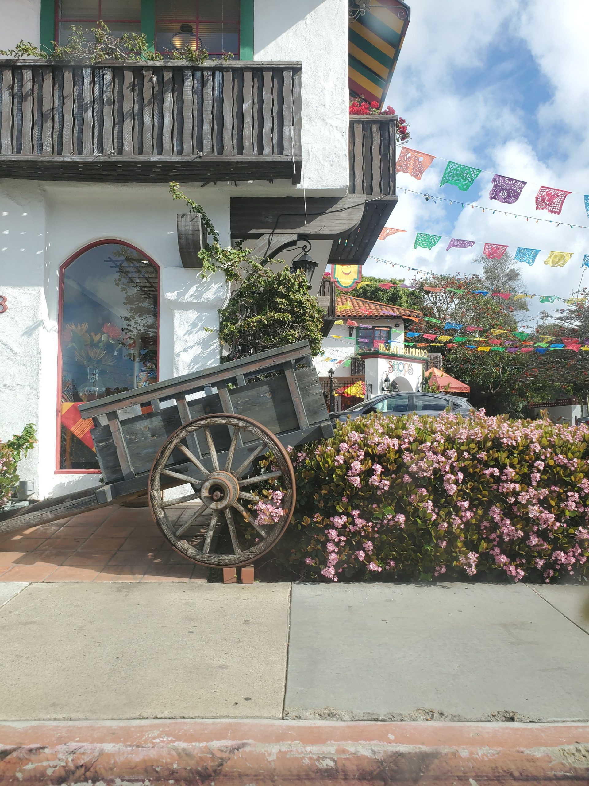
Old Town San Diego State Historic Park is one of San Diego’s prime attractions. This historic district was the center of San Diego as the city was founded in the 1800s. There are many tourist oriented Mexican restaurants and shops. For those more historically inclined the park finds an interesting picture of California life as the area transitioned from Mexico to the United States.
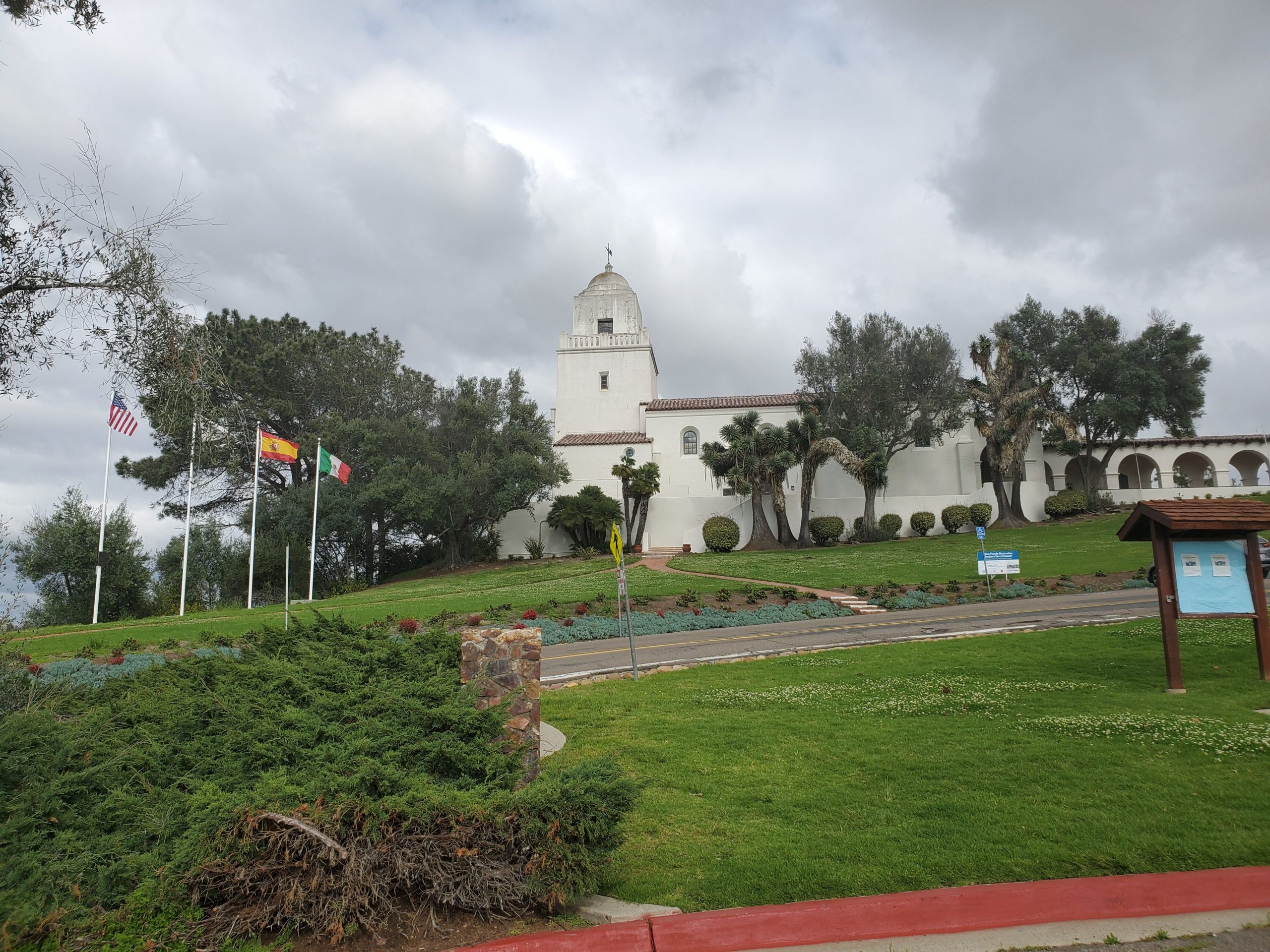
After passing through Old Town the route takes a right turn heading uphill on Presidio Dr. This area is dominated by the Junipero Serra Museum who founded the California mission movement, starting in San Diego.
Above Old Town Presidio Drive enters the Mission Hills neighborhood. This was on the first residential areas of San Diego and remains one its most prestigious areas. From Presidio the San Diego Scenic Drive turns left on Arista St and makes a right onto Fort Stockton Drive. Fort Stockton goes through the heart of Mission Hills before making a right turn on Goldfinch.
The Block from Goldfinch to Washington St is home to Lefty’s Chicago Pizzeria, one of the best deep dish places in San Diego. Turning left on Washington St the route heads into the Hillcrest neighborhood. Hillcrest is a trendy area popular with the LGBT community. It is home to many top restaurants. Those who by-passed Chicago pizza at Lefty’s can stop at Bronx Pizza on the corner of Washington and 1st Avenue. Bronx has what many consider San Diego’s best New York style pizza.
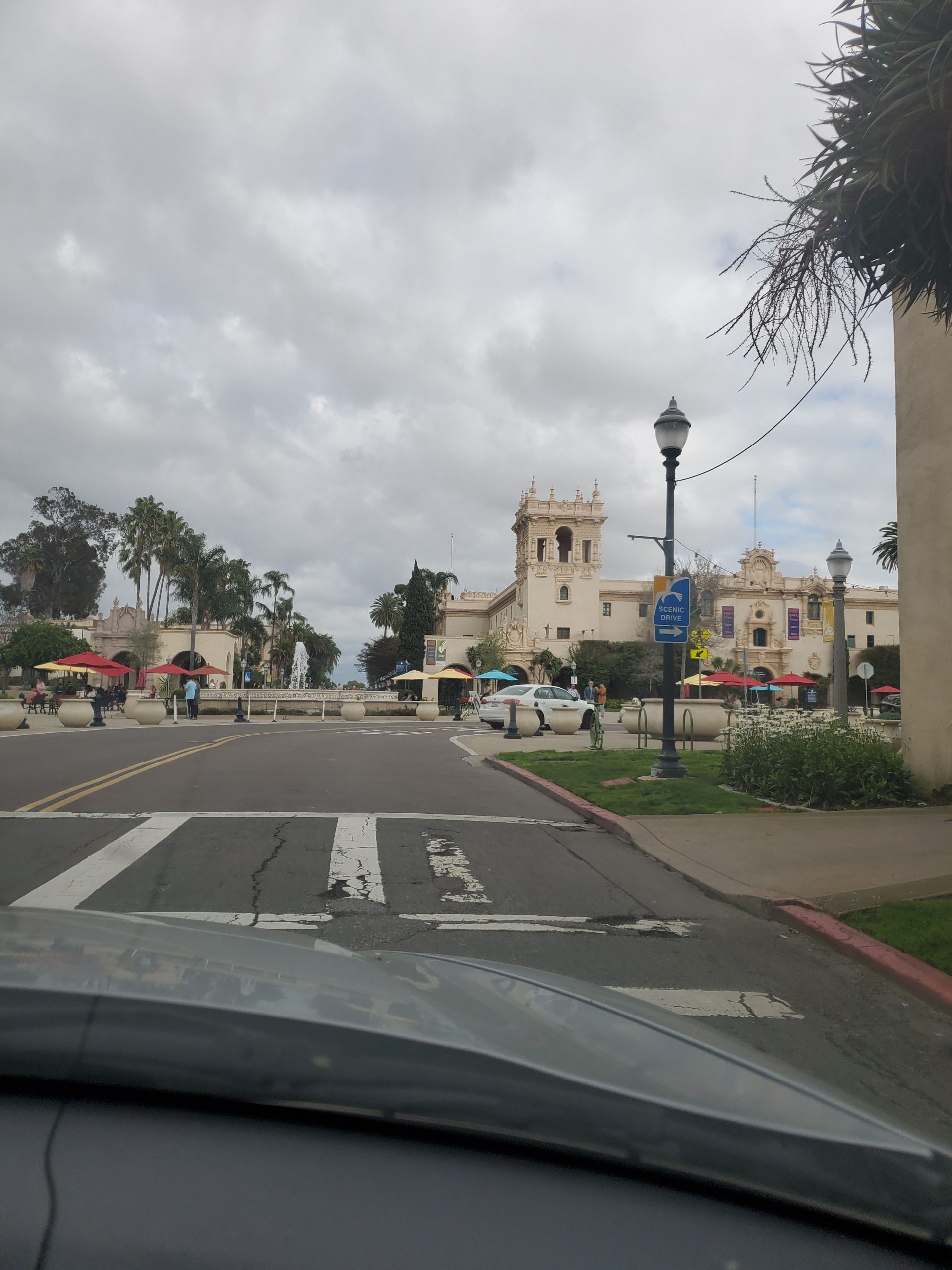
At Bronx Pizza, the drive turns right on First Avenue. The First Street bridge is one part of the Seven Bridges Hike. Shortly after crossing the bridge, a left turn on Laurel Street enters the heart of Balboa Park.
Balboa Park
Balboa Park is a 1,400 acre urban park filled the museums, restaurants, The Old Globe Theater and the San Diego Zoo. Many of the buildings in the park were built for the 1915 Panama-California Exposition.
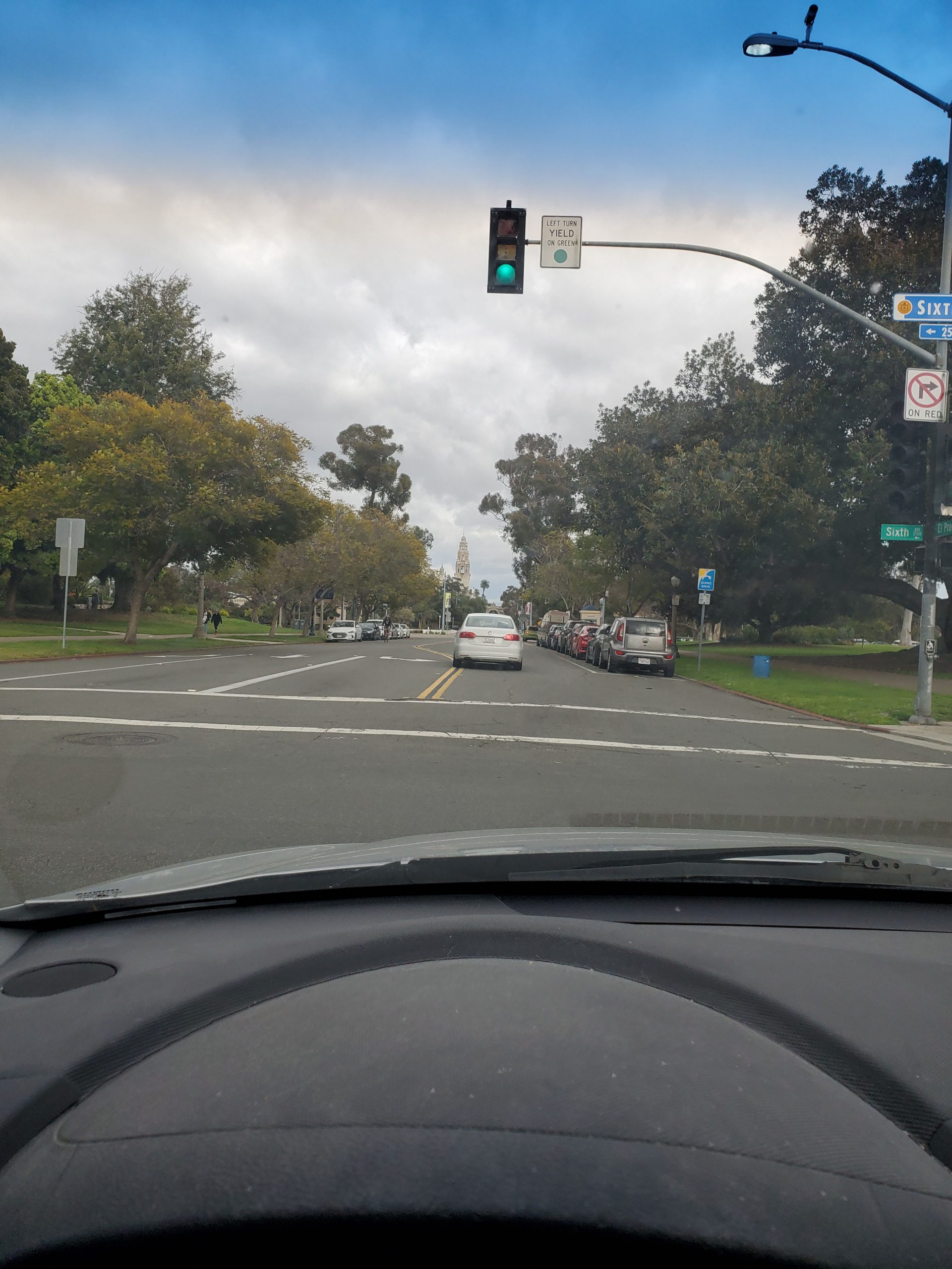
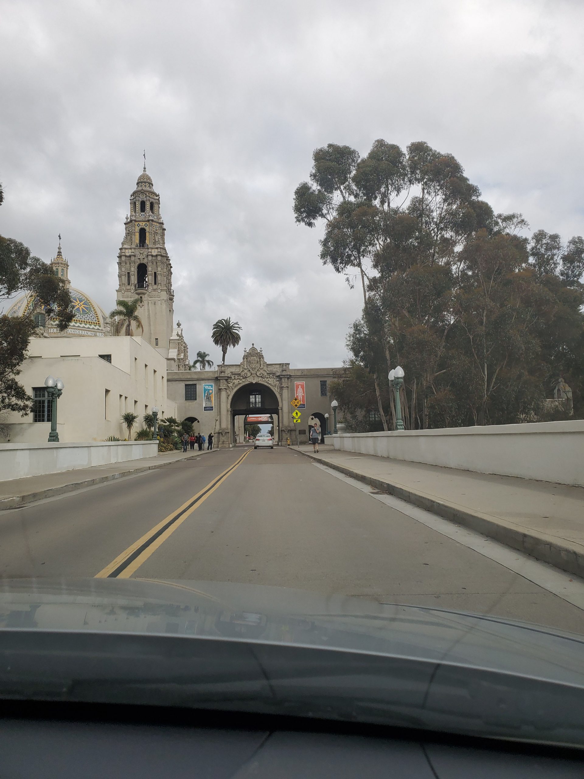
As it enters Balboa Park, Laurel Street becomes El Prado. El Prado crosses the Cabrillo Bridge (one of the seven bridges on the hike) and passes through the courtyard for the Museum of Man, whose tower is the first sight many San Diego visitors see from the plane as it lands at the airport.
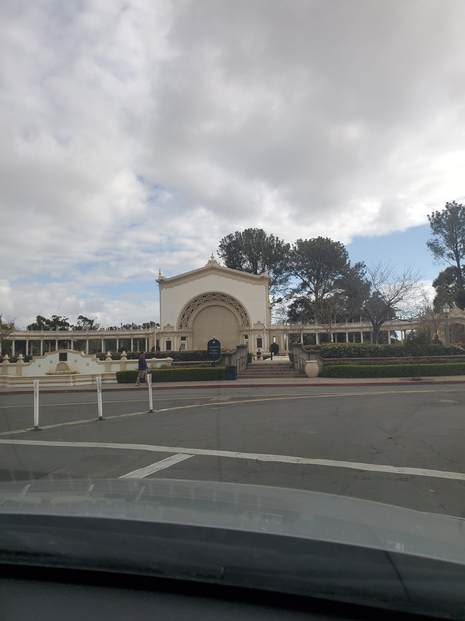
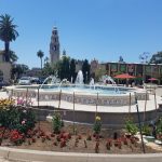
The road curves to the right at the fountain in the center of the Plaza de Panama. This large European style plaza is home to several museums, most notably the San Diego Museum of Art. The road is now called Pan American Road. Pan American Road curves past the Spreckels Organ Pavilion, the largest outdoor organ in the world. On the right are the House of Pacific Relations International Cottages. These cottages represent different countries and cultures and are open most weekends.
Making a left on Presidents Way, the San Diego Scenic Drive heads to Park Boulevard where a right turn leaves Balboa Park and brings you to downtown San Diego to complete this portion of the drive.
Downtown
Park Boulevard heads directly into downtown San Diego. At this point the official drive turns right on Broadway and heads to its conclusion at the intersection of Broadway and Harbor Boulevard.
An alternative is to head 4 blocks past Broadway and turn right on Market St. Market Street also ends on Harbor Drive.
Either route will take you through the Gaslamp Quarter. The Gaslamp is the heart of San Diego’s nightlife. The Market street route also goes past Seaport Village, a prime tourist shopping area.
At this point if you want to complete the full loop see our guide to the San Diego 59-Mile Scenic Drive Part 1.
One Comment
Comments are closed.