San Diego Hikes: Lilac Canyon Trail
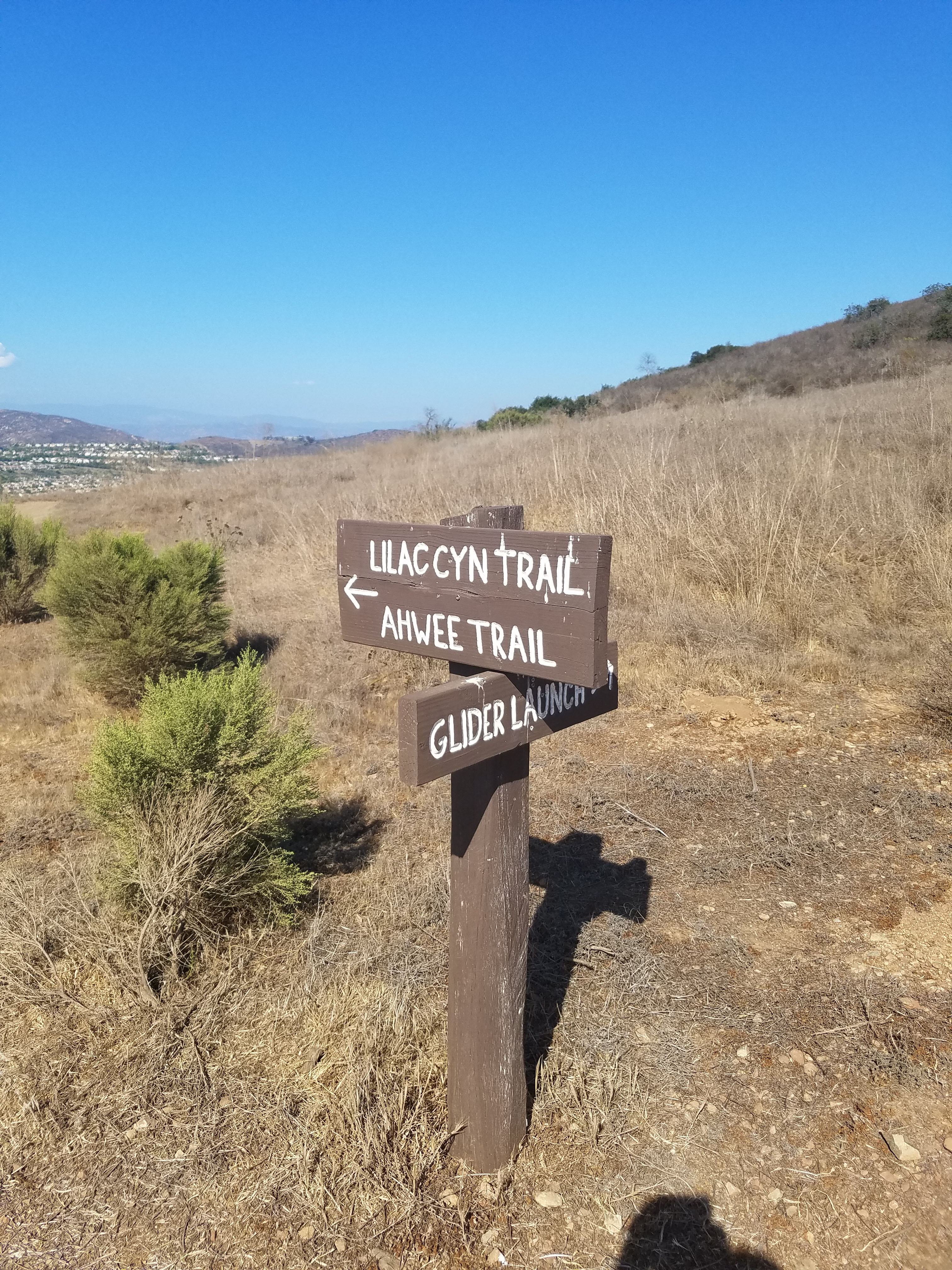
Lilac Canyon Trail is a one-mile long trail in Black Mountain Open Space Park that connects the Glider Point parking lot with the Miner’s Ridge parking lot. This is a great easy trail because it is fairly flat and has some great mountain views. It can also be combined with other trails, including climbing to the top of Black Mountain.
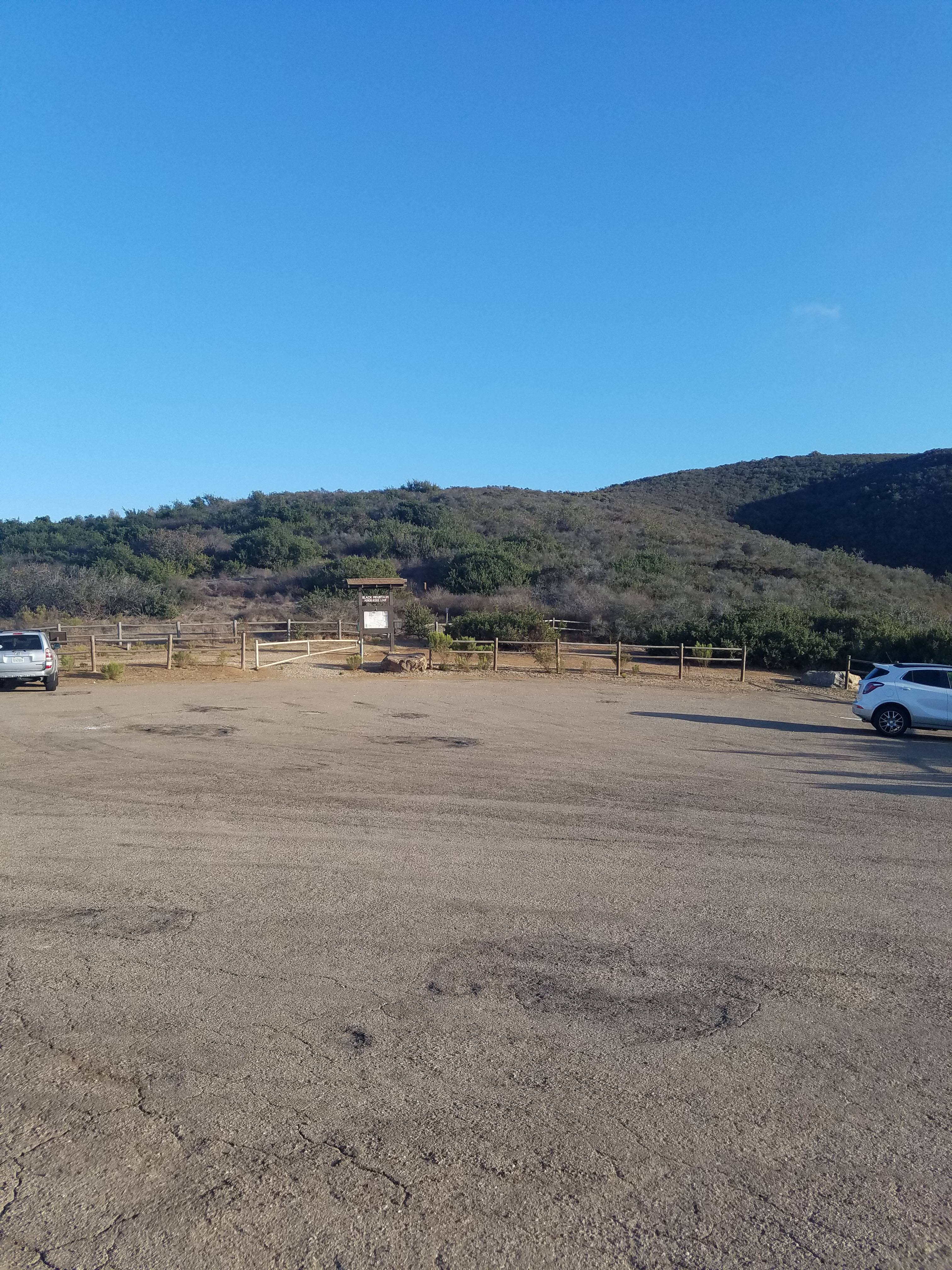
- Starting Point: Either Glider Point Parking lot Carmel Valley Rd, east from Black Mountain Rd or Miner’s Ridge Parking lot another half-mile east
- Length: 2 miles
- Elevation: mostly flat
- Type: out-and-back with option to add other trails for a longer hike
The trail system at Black Mountain Open Space Park is fairly new and is still being defined. For many years, there were no established trails through much of Black Mountain. Trails were simple carved out wherever hikers felt like it. Now the goal is to establish trails that do not interfere with the mountain’s ecosystem.
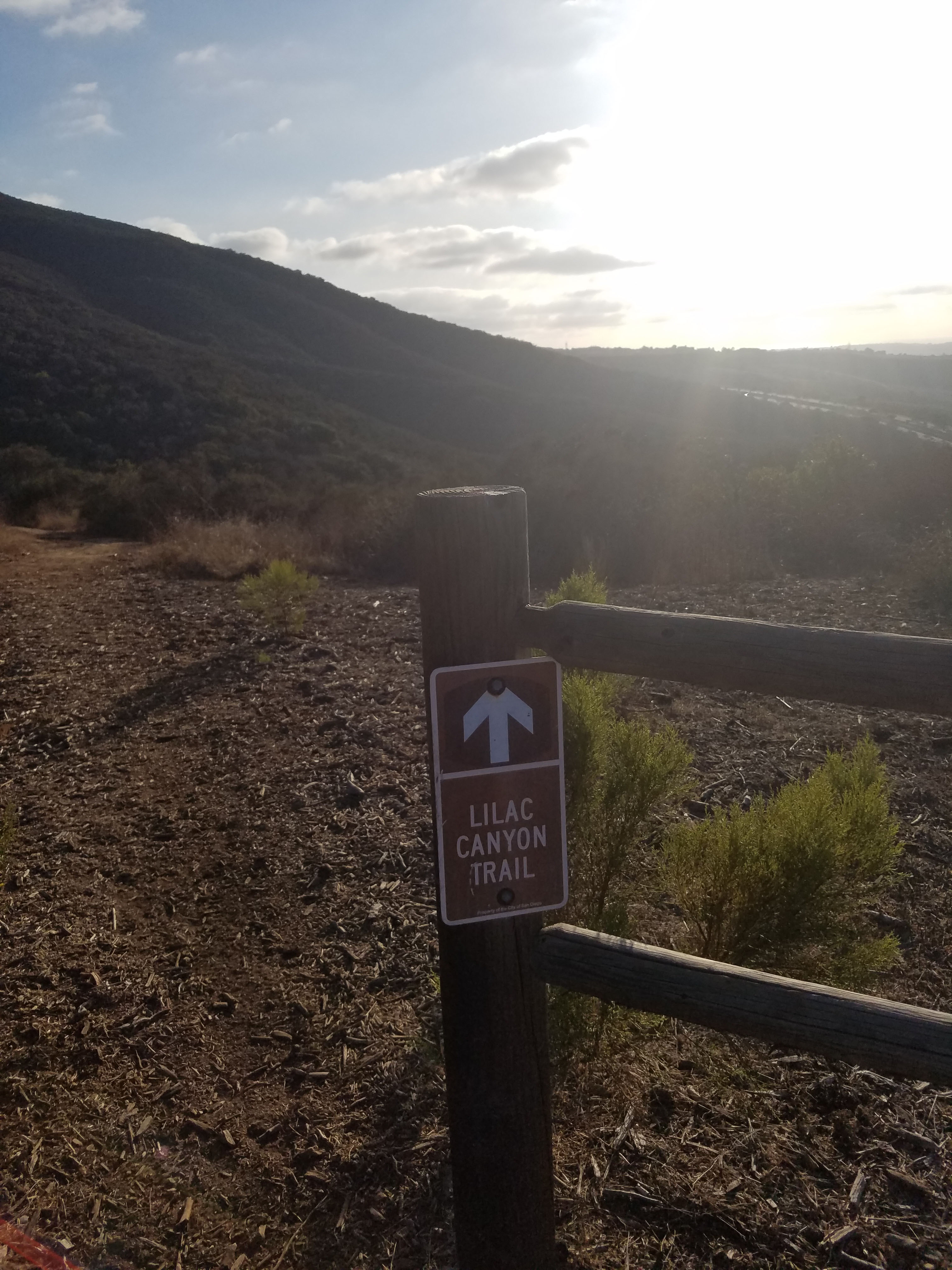
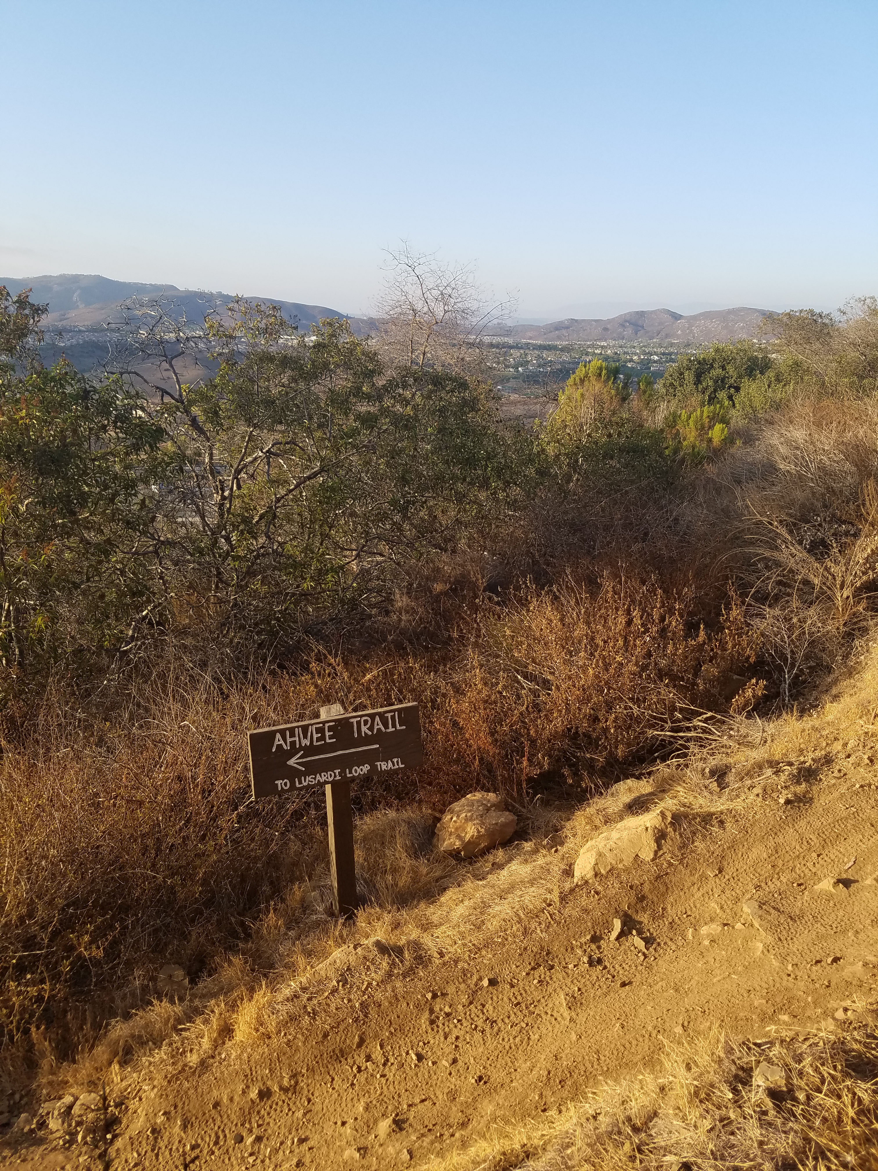
Lilac Canyon Trail, along with its companion Ahwee Trail, formally opened in 2015. This is a great new addition to Black Mountain Open Space Park because it is a fairly flat, scenic trail. It connects into the full Black Mountain trail system so hikes can be as long or short as you want. It is so new it is not on Google Maps as of this writing. You can get the formal map of all the trails here.
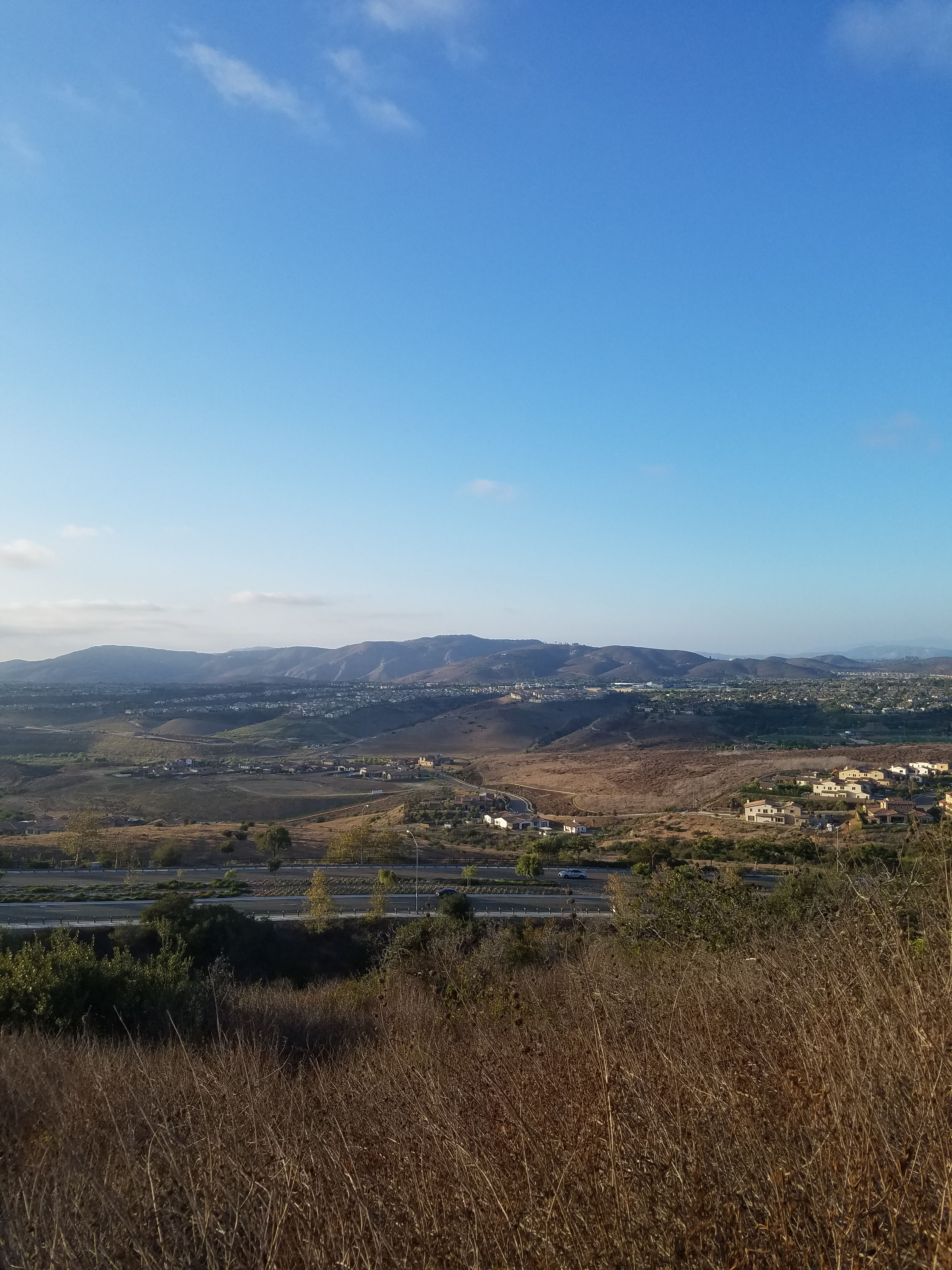
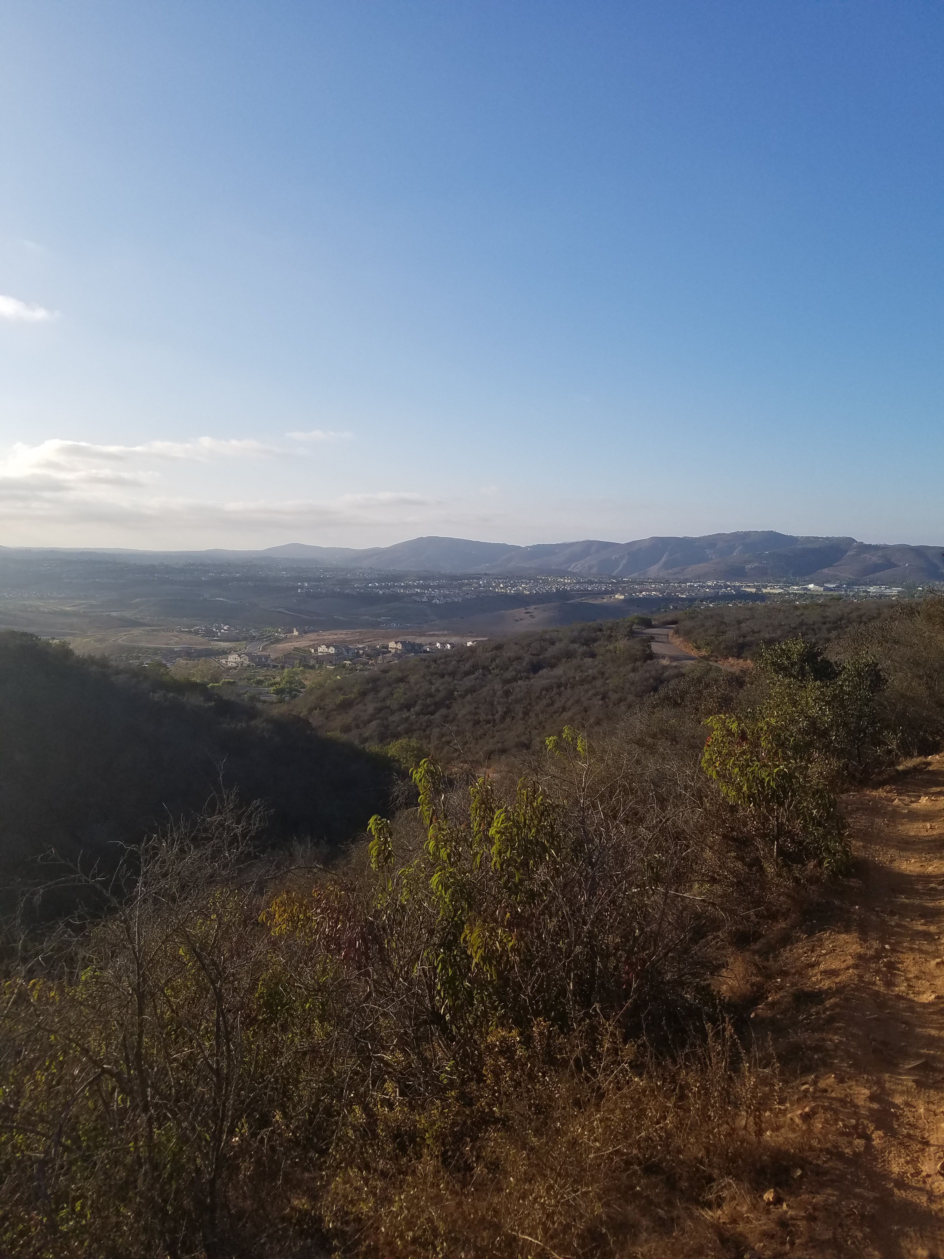
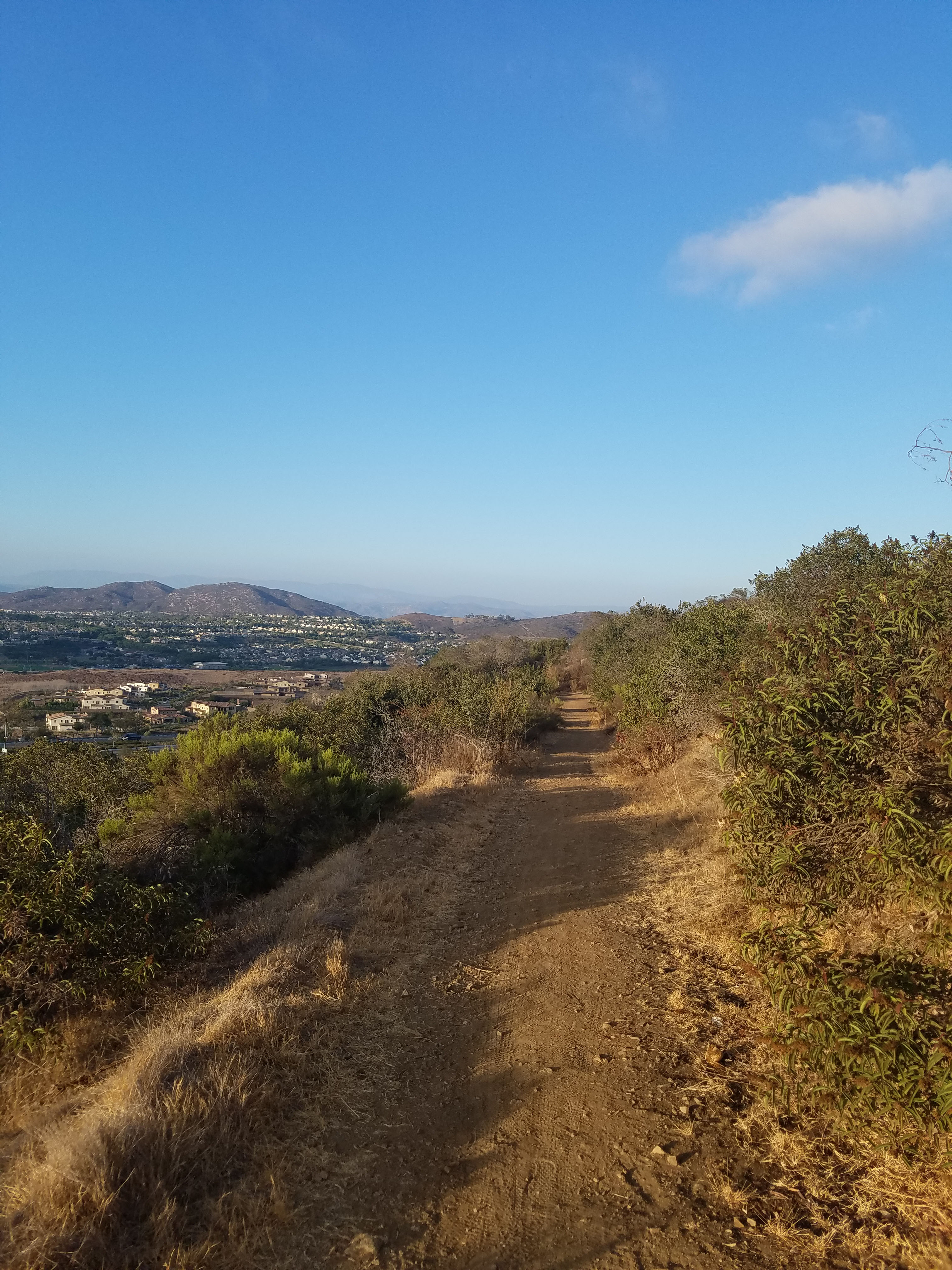
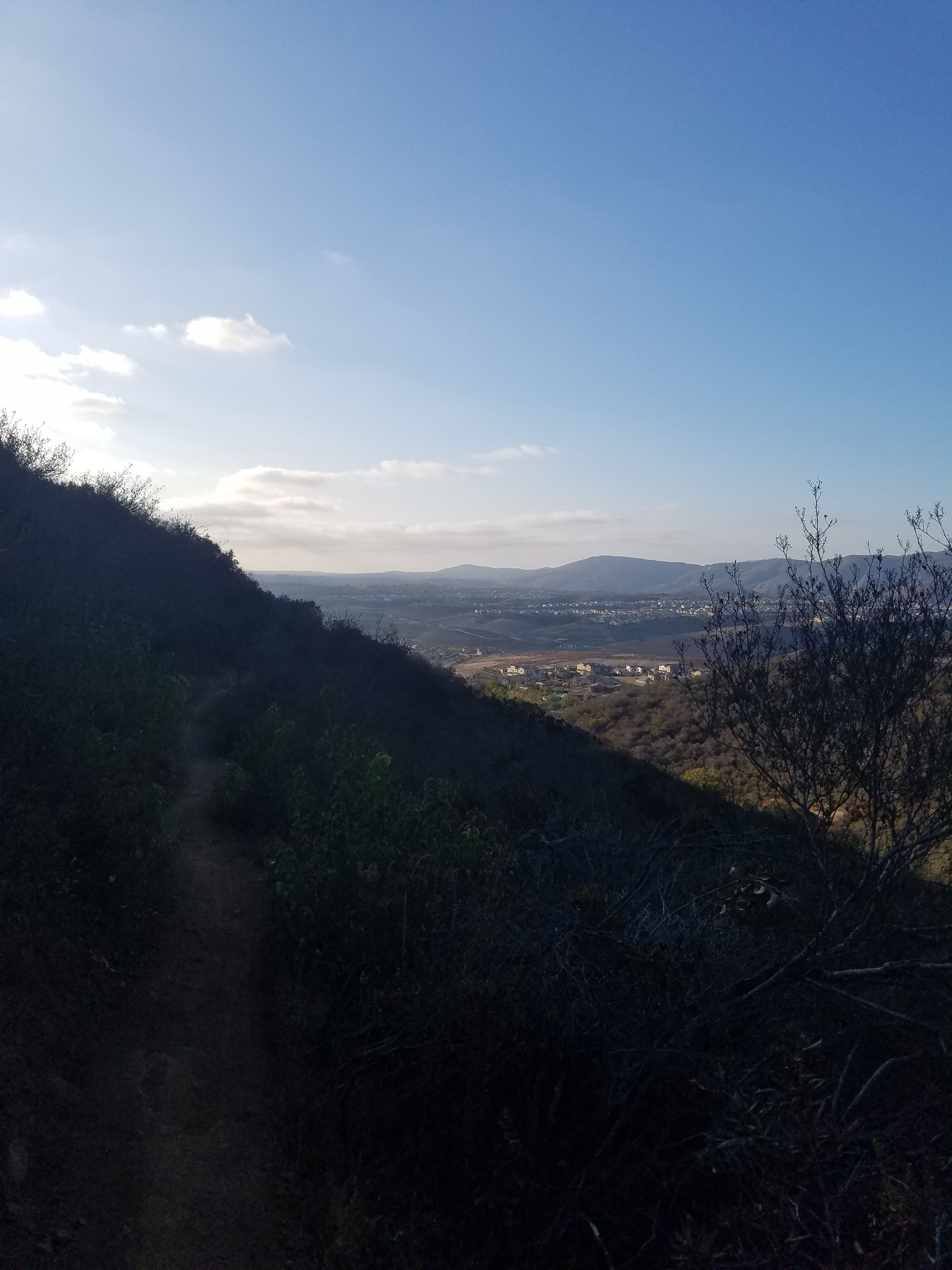
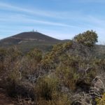
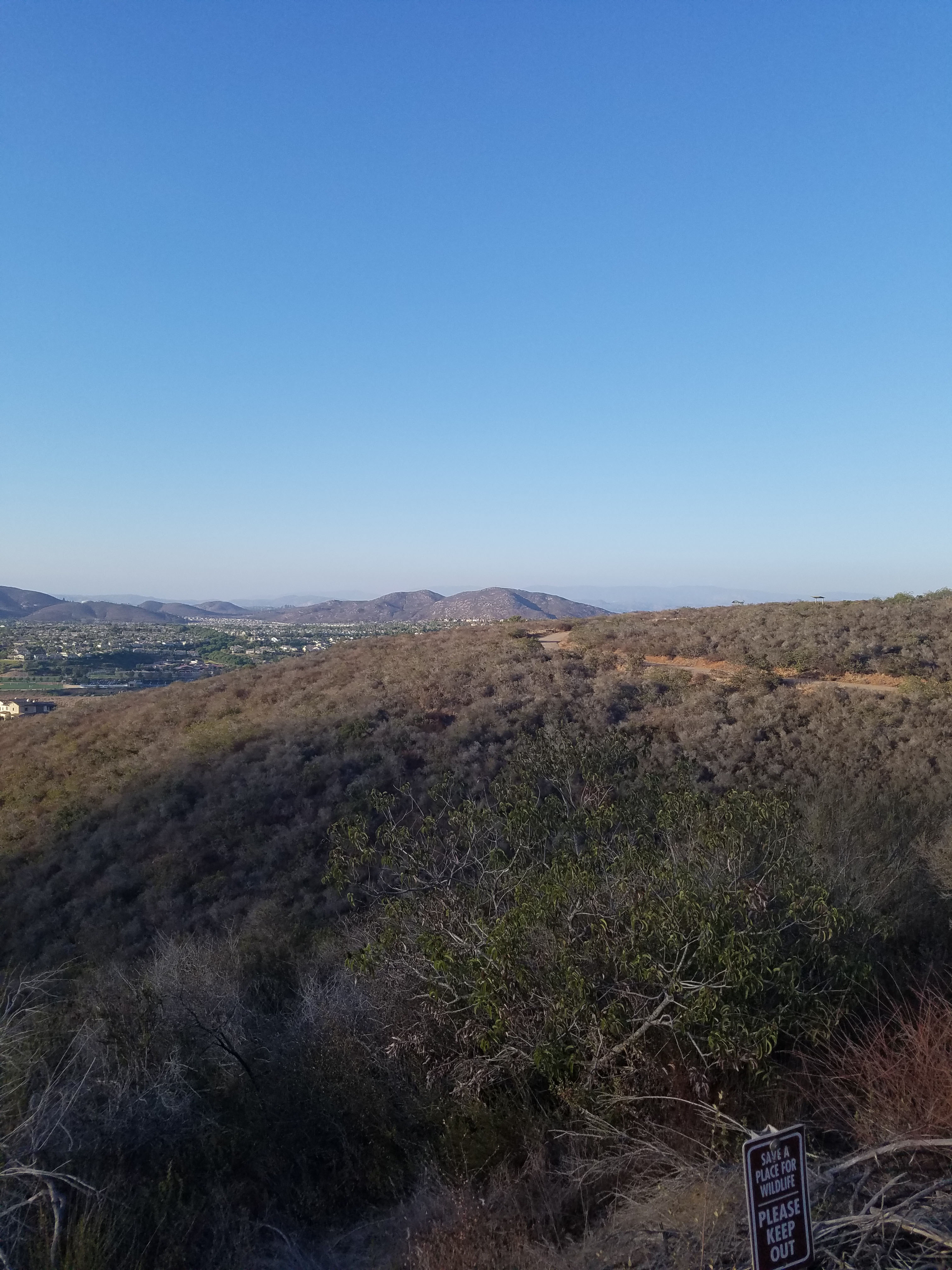
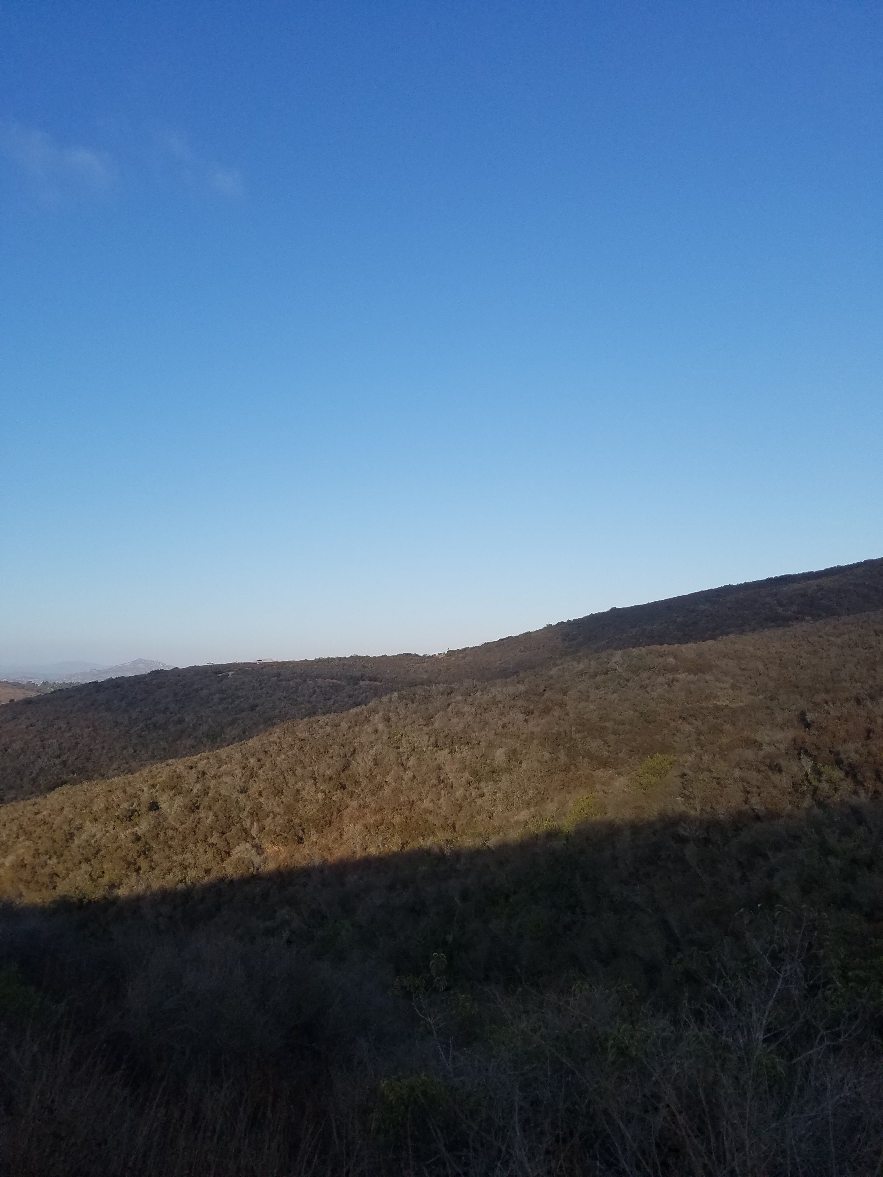
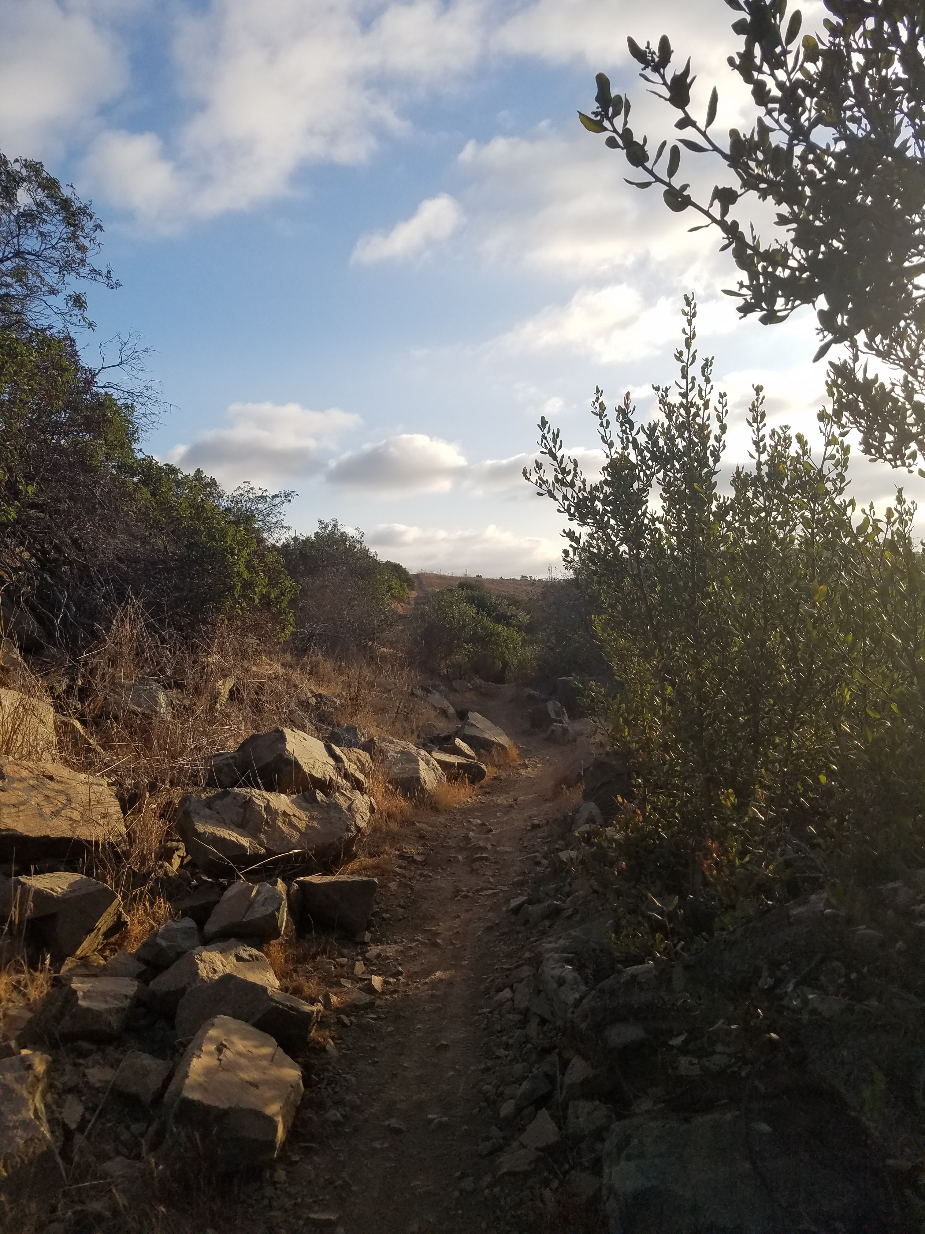
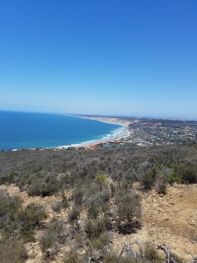
Lilac Canyon Trail is a curvy, but fairly flat trail that hugs the contours of Black Mountain. It is high enough that you get great views towards the northern areas of San Diego County. On clear days you can see the Pacific Ocean.
There is plenty of parking at either Glider Point Trail or at the Miner’s Ridge Loop parking lot. Both parking areas are reached heading eastbound on Carmel Valley Road. If you are heading west on Carmel Valley Rd you need to make a U-turn at the Black Mountain Rd intersection.
When you do the Lilac Canyon Trail you will also probably want to visit the very short Trail for All People. This short loop trail is found at the Miner’s Ridge Loop parking lot. If you are feeling more adventurous you can also do Miner’s Ridge Loop and even climb to the top of Black Mountain.
We are just starting to enjoy Lilac Canyon Trail. For about 18 months starting in January 2017 Miner’s Ridge Loop Trail was closed due to high arsenic levels. This meant we did most of our hiking from the Hilltop Park area of Black Mountain. Now Lilac Canyon Trail is part of our new favorite 6-mile hike up Black Mountain.
For more hikes in Black Mountain Open Space Park go to our overview.
Thanks for the review. The trails plan was put together in 2009 as an addendum to the park’s management plan that was required/did not exist at that time. Jas Arnold was the chair of the citizen’s advisory committee and the Trail for all People was his ‘baby’. Jas was a very outdoorsy type until stricken with MS that confined him to a wheelchair and took his life in 2016. He lived long enough to see construction start and to test drive the trail’s surface – but tragically passed before completion. The trail is now fittingly the Jas Arnold Trail for all People and a surveyor’s (Jas was a Surveyor by trade) mark with Jas’s name is present at the site.
The Management Plan was finally completed (had to thru multiple agencies) in 2014.
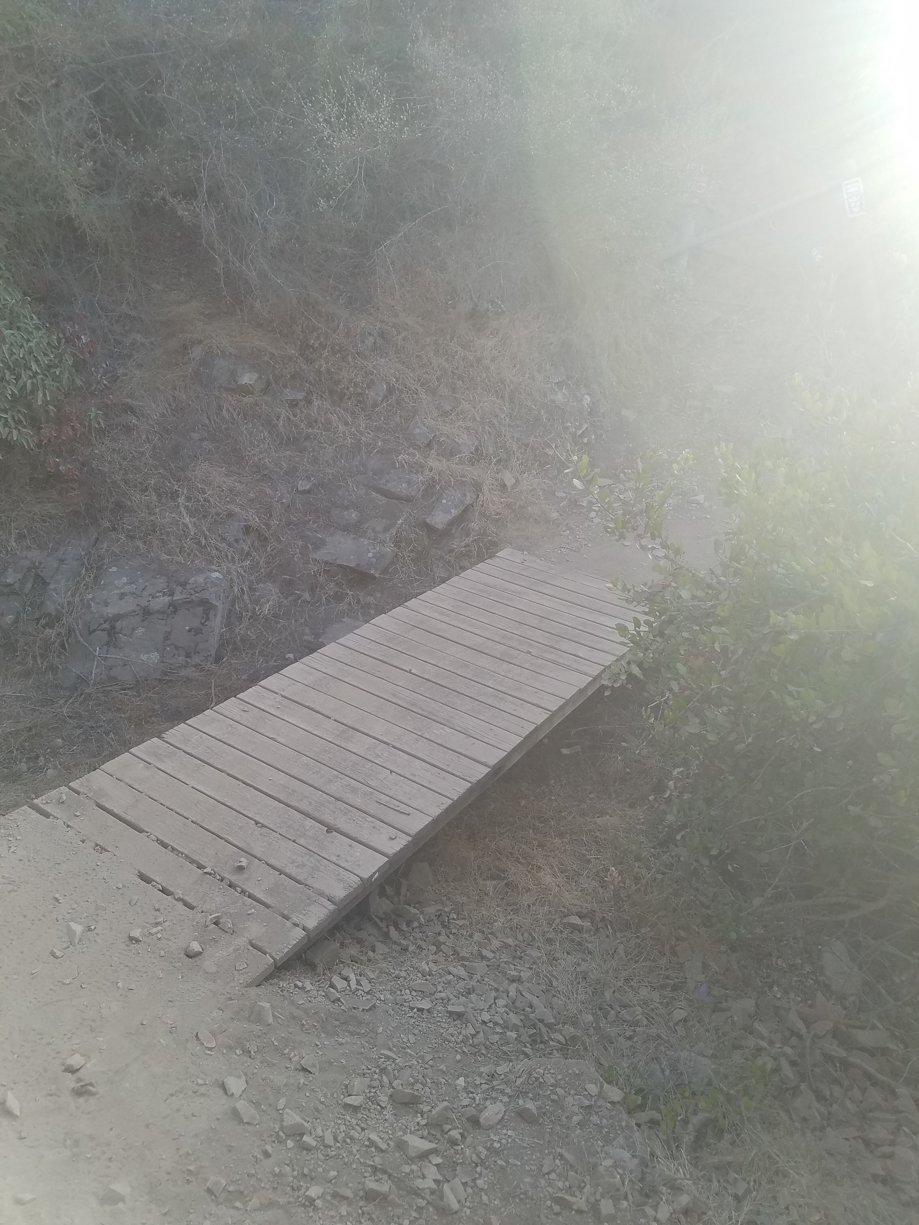
Lilac trail used to exist as a short and in places very steep trail that exited onto the access road up to the Miner’s Loop parking lot. The section of trail from the lot to the first bridge is untouched/reused. Everything from that point on to the Glider Port was built using skilled volunteer labor.
Serendipity: All open space in San Diego county is subject to terms of the Multiple Species Conservation Plan. The once prevalent habitat in San Diego was eroding at a staggering rate as the population (and the need to house them) exploded. In terms of plants, there are 4 tiers of rating. Tier 1 typically previously disturbed land with invasive grasses, artichoke thistle etc. Tier 4 is old growth Manzanita/coastal sage. Obviously if a trail gets built there’s 4 foot wide corridor/loss of habitat. The trail routing in the plan used portions of the old dirt road adjacent to Carmel Valley Road to minimize the habitat loss. We had wanted to link between the trail heads (Miners/Glider Port) ideally but . . . beggars and choosers.
Around that time, City Water came out did some work near the glider port – ran a bulldozer some distance. To do so they would have had to comply with those same stipulations. Some quick reckoning showed that running Lilac to the end of the bulldozer cut was now same habitat loss as the less preferred route. The stars lined for us on that one. We started work after the first decent rains (early December) working 8-noon on Saturdays. It may not be obvious to the casual user but there are sections of Lilac that have extensive rock work. Crews doing these need to be small (for safety) and skilled. We did repair (rebuild) one spot near the second bridge. Otherwise – it’s maintenance free (by design) other than brush trimming when corridor narrows too much.
In February 2016we put up flyers in the community to build awareness and give others an opportunity to provide an amenity in their community. The Ahwee trail links the Glider Port over to the community park. I came up with a routing that pretty much stays in tier 1 habitat and also makes for a great trail experience. We could build with lesser skilled volunteers and we did. 120 volunteers – completed in under 4 hours!
Thanks for that wonderful history. I just did a guide to the Ahwee Trail https://fundiegofamily.com/san-diego-fun/hiking-biking/san-diego-hikes-ahwee-trail/