San Diego Hikes: Kwaay Paay Loop Trail at Mission Trails
Fun Diego Family is on a quest to hike all 60-miles of trails in Mission Trails Regional Park. In the process we are building our own custom hikes. This is short level-2 hike that goes halfway up Kwaay Paay Peak.
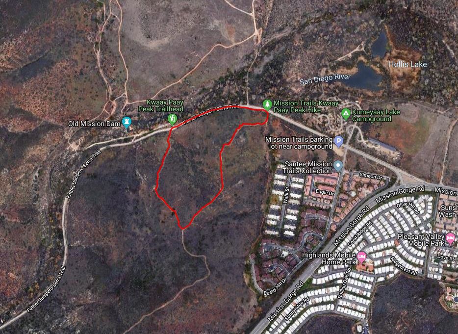
- Starting Point: Old Mission Dam, Mission Trails Regional Park
- Length: 1 mile
- Elevation: 250 foot gain and loss
- Type: loop
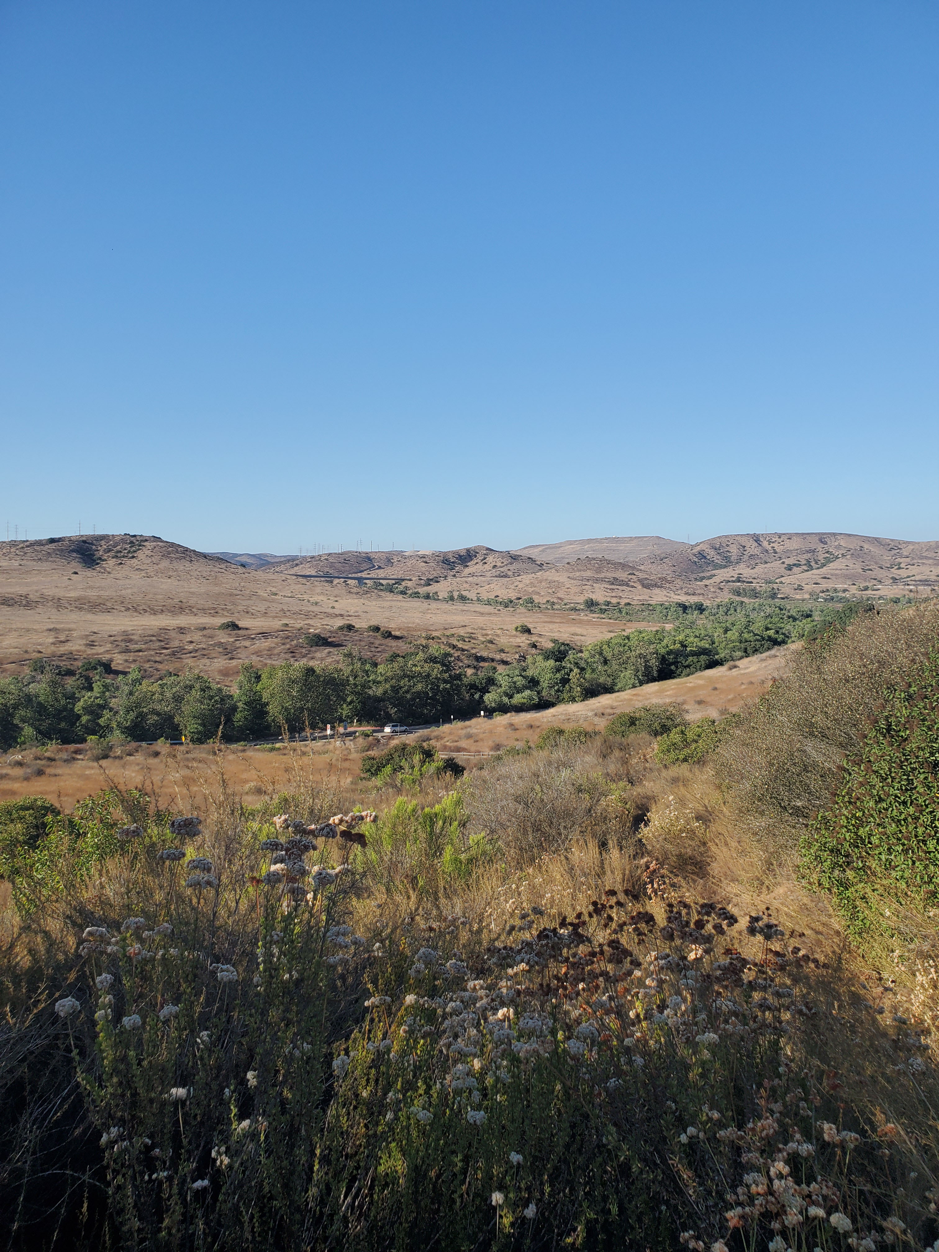
At over 7,000 acres, with plans to grow to 10,000 acres, Mission Trails Regional Park is huge. The park has an official trail guide where hikes are rated on a scale of 1 to 3, with 3 being the most difficult.
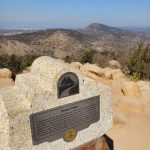
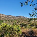
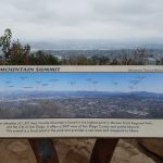
Climbing to the top of Kwaay Paay Peak is rated 3 as it is nearly a 900-foot elevation gain. We have done this as part of Mission Trails 5-Peak Challenge.
However, sometimes we have small children or are just in the mood for a short hike with more moderate elevation gain. This short hike is nice because you get scenic views and a moderate climb. We rank this as a level 2 on the Mission Trails scale.
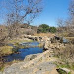
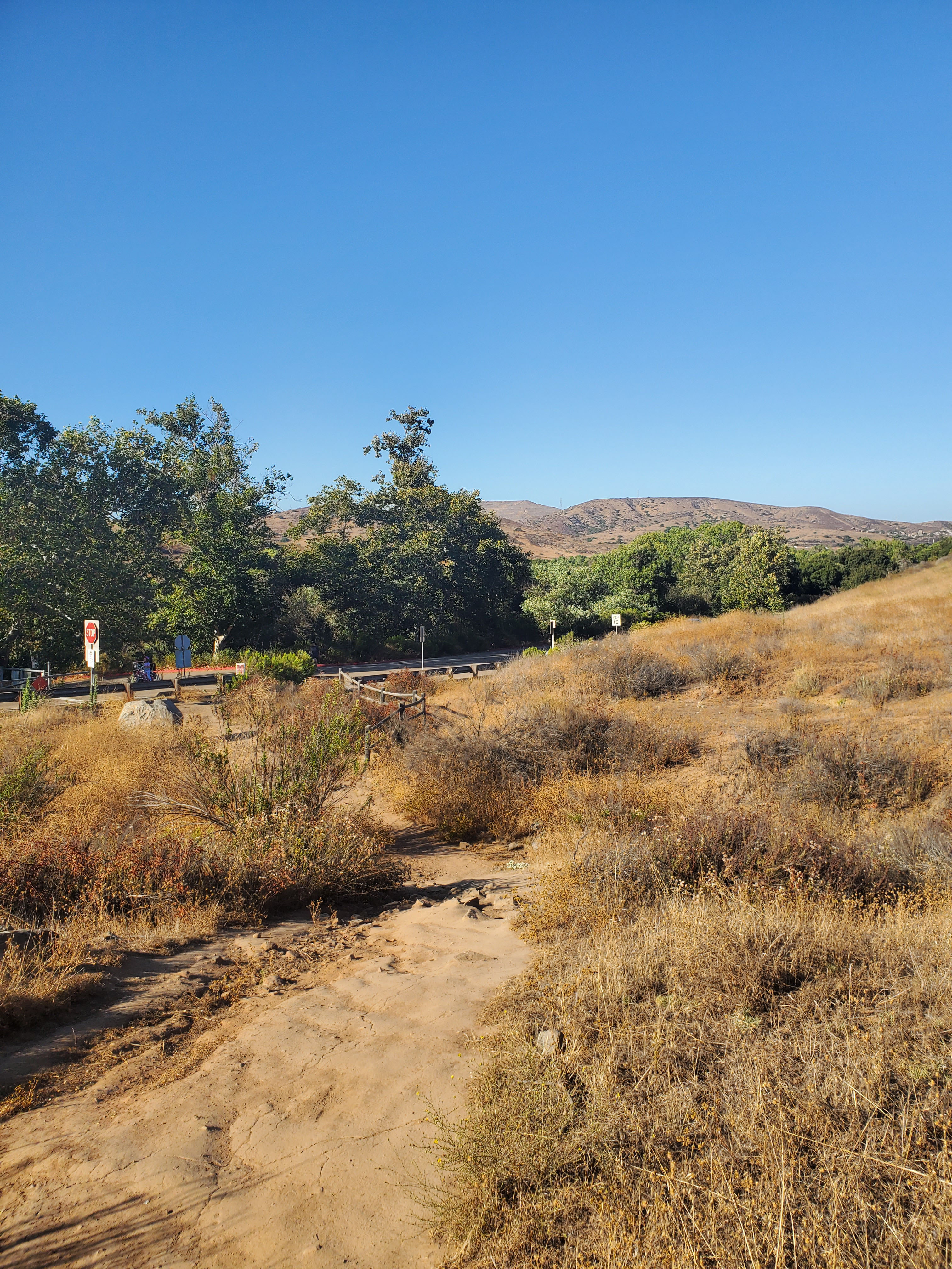
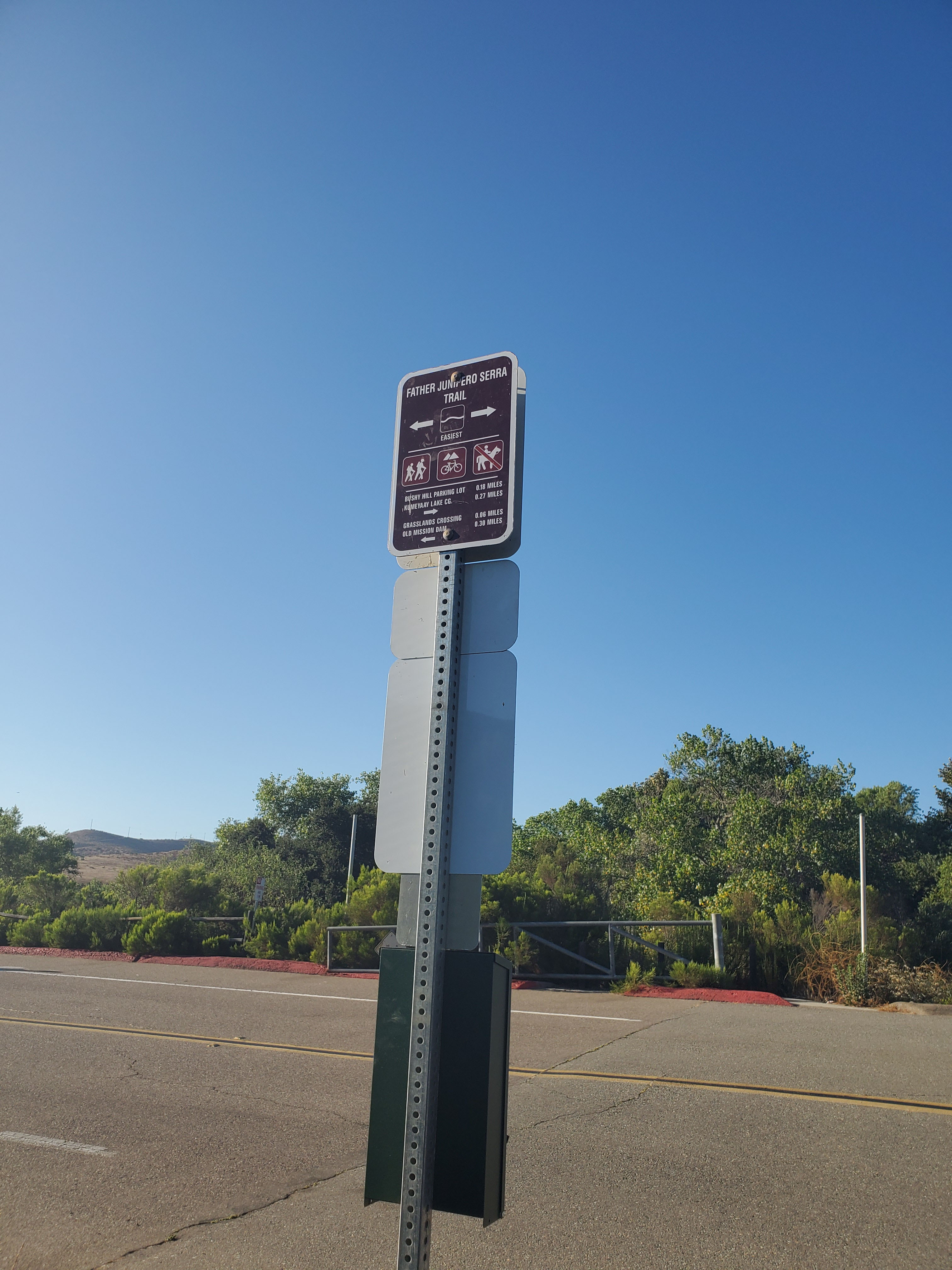
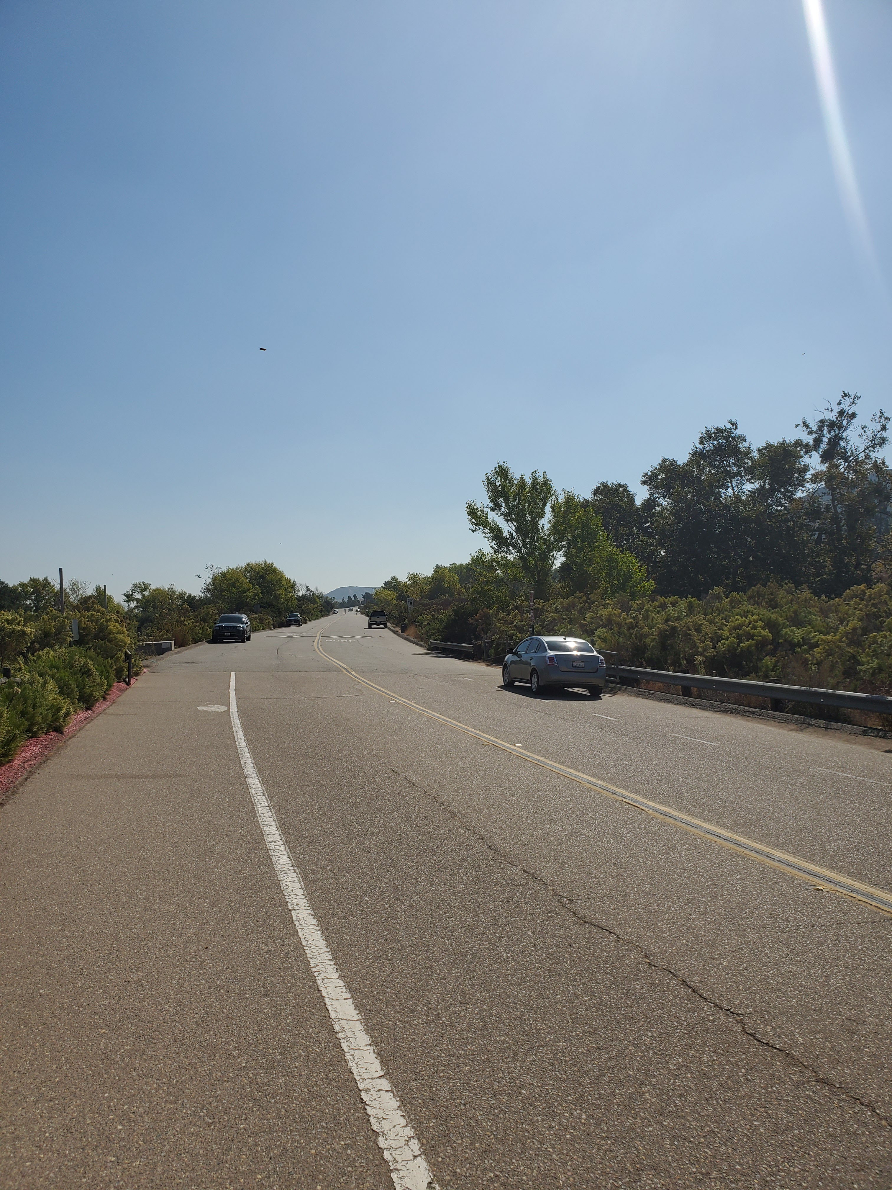
This is a great hike to do in combination with the Old Mission Dam. The hike actually starts near the Dam. There is plenty of parking on the side of the road on Father Junipero Serra Trail. Father Junipero Serra is a paved one-way road starting from the visitor’s center and becoming two-way at the dam.
This is a loop trail and you will come out a little further down Father Junipero Serra Trail. Of course, you can do the loop in reverse.
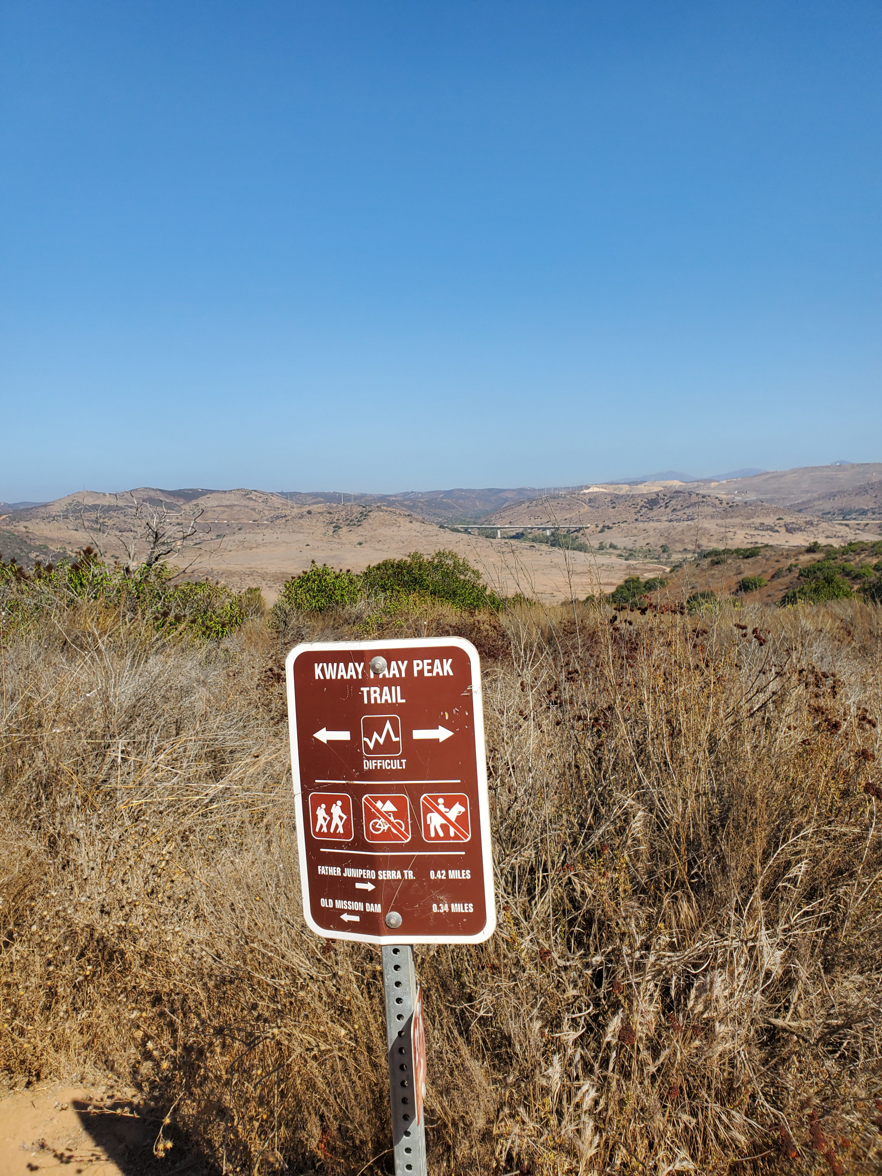
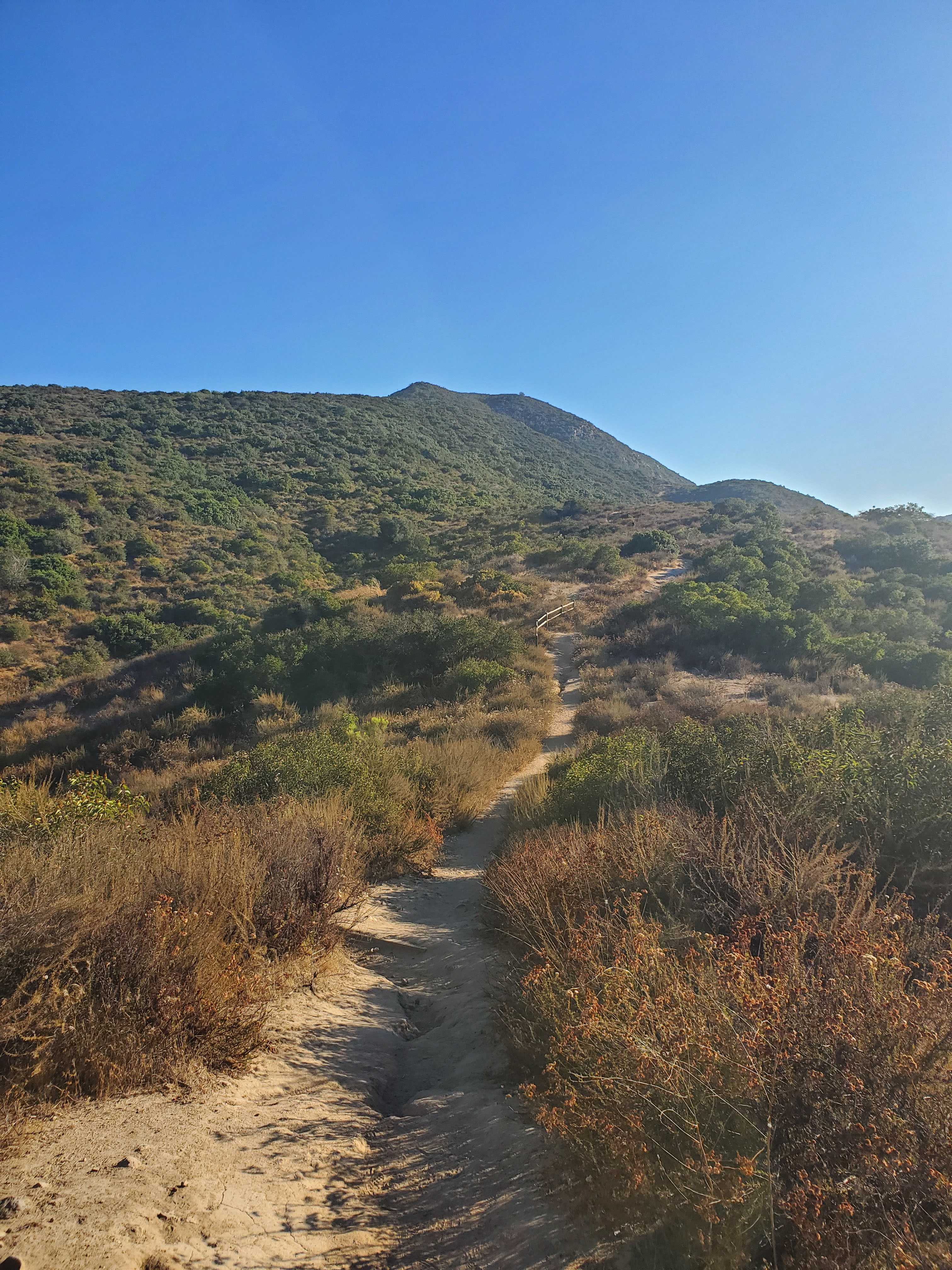
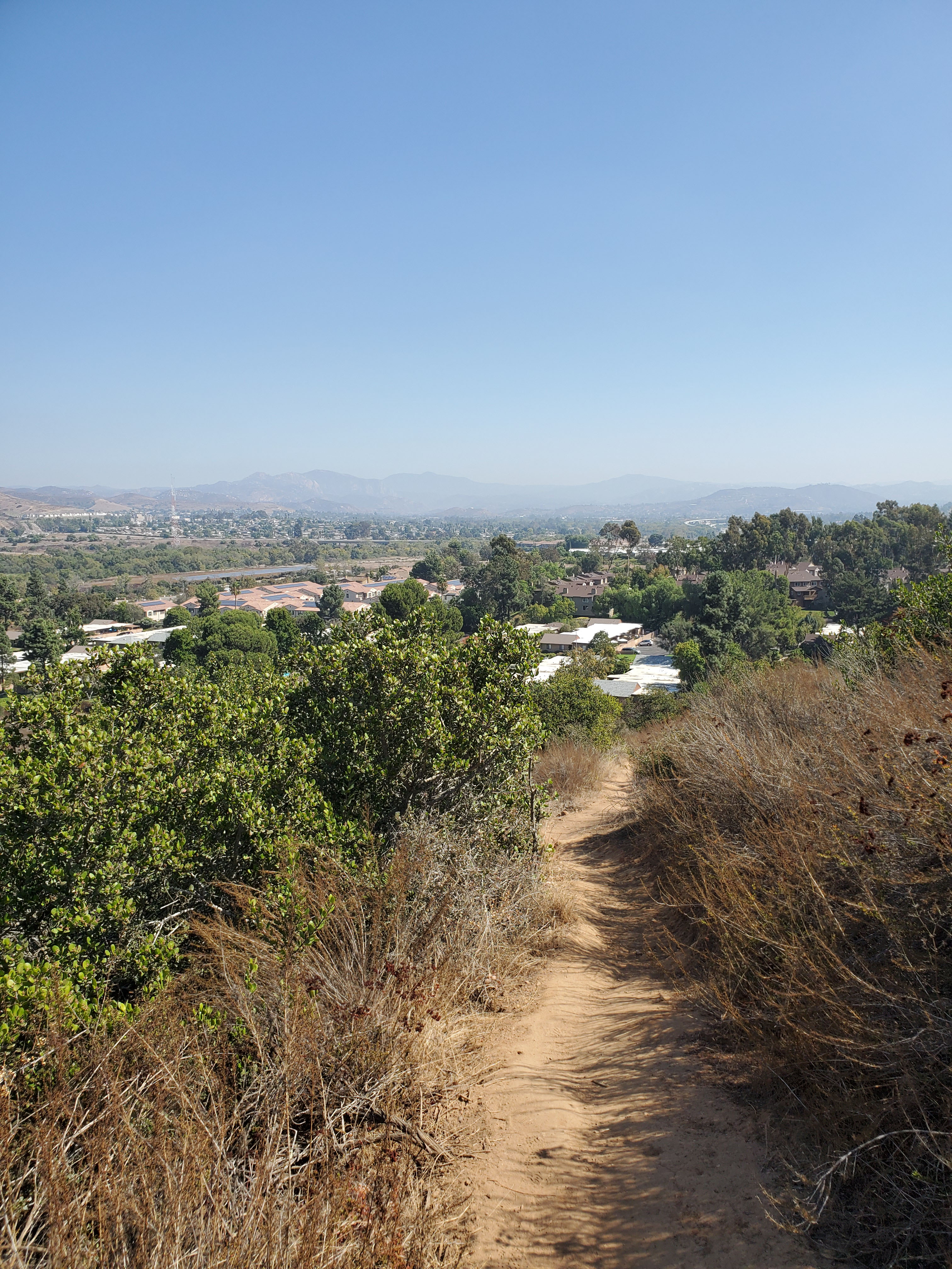
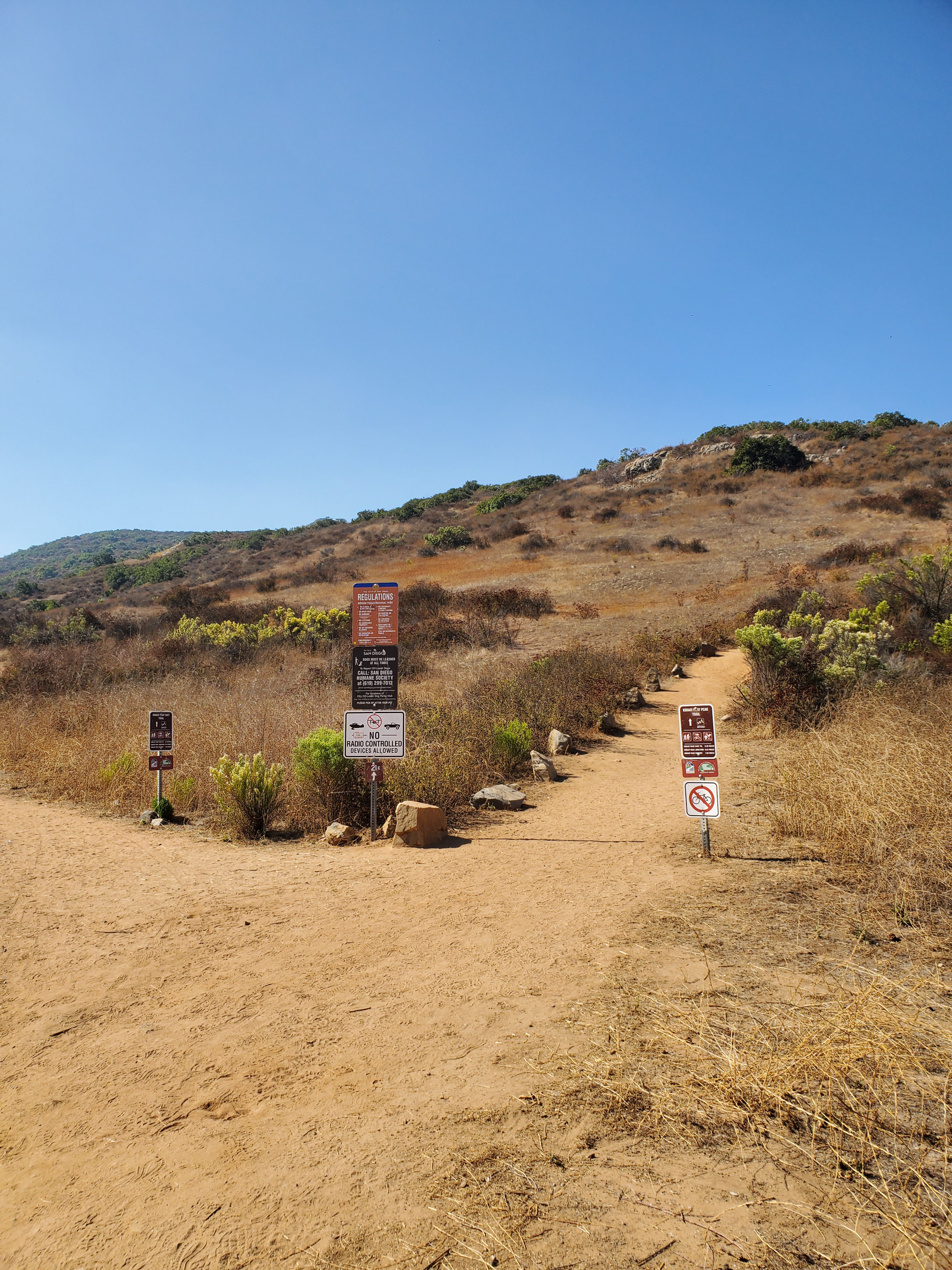
Starting across the road from the dam you follow the signs up hill for Kwaay Paay Peak. The trail is a steady uphill climb for less than half a mile. You will come to an intersection where you can make a choice.
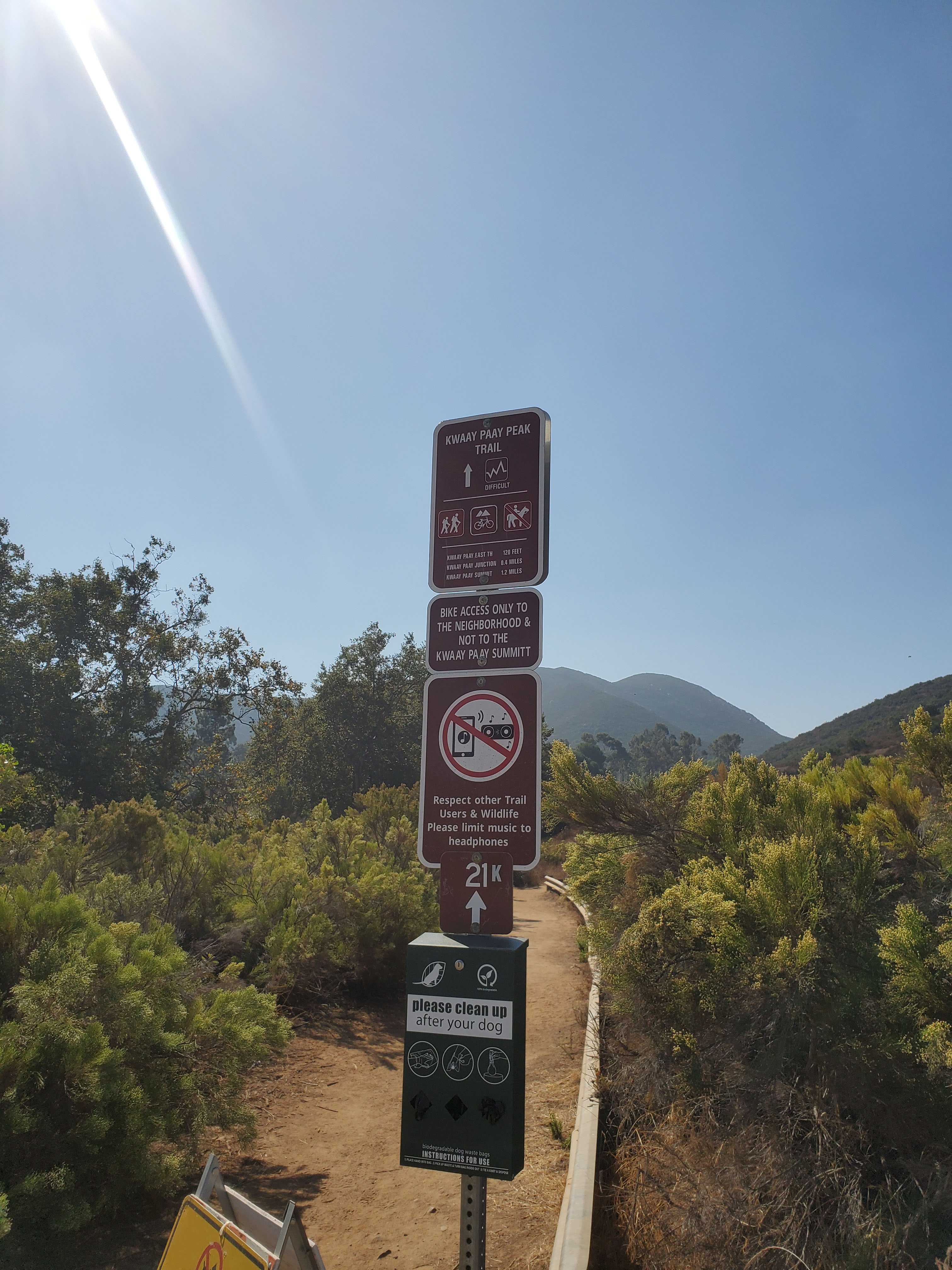
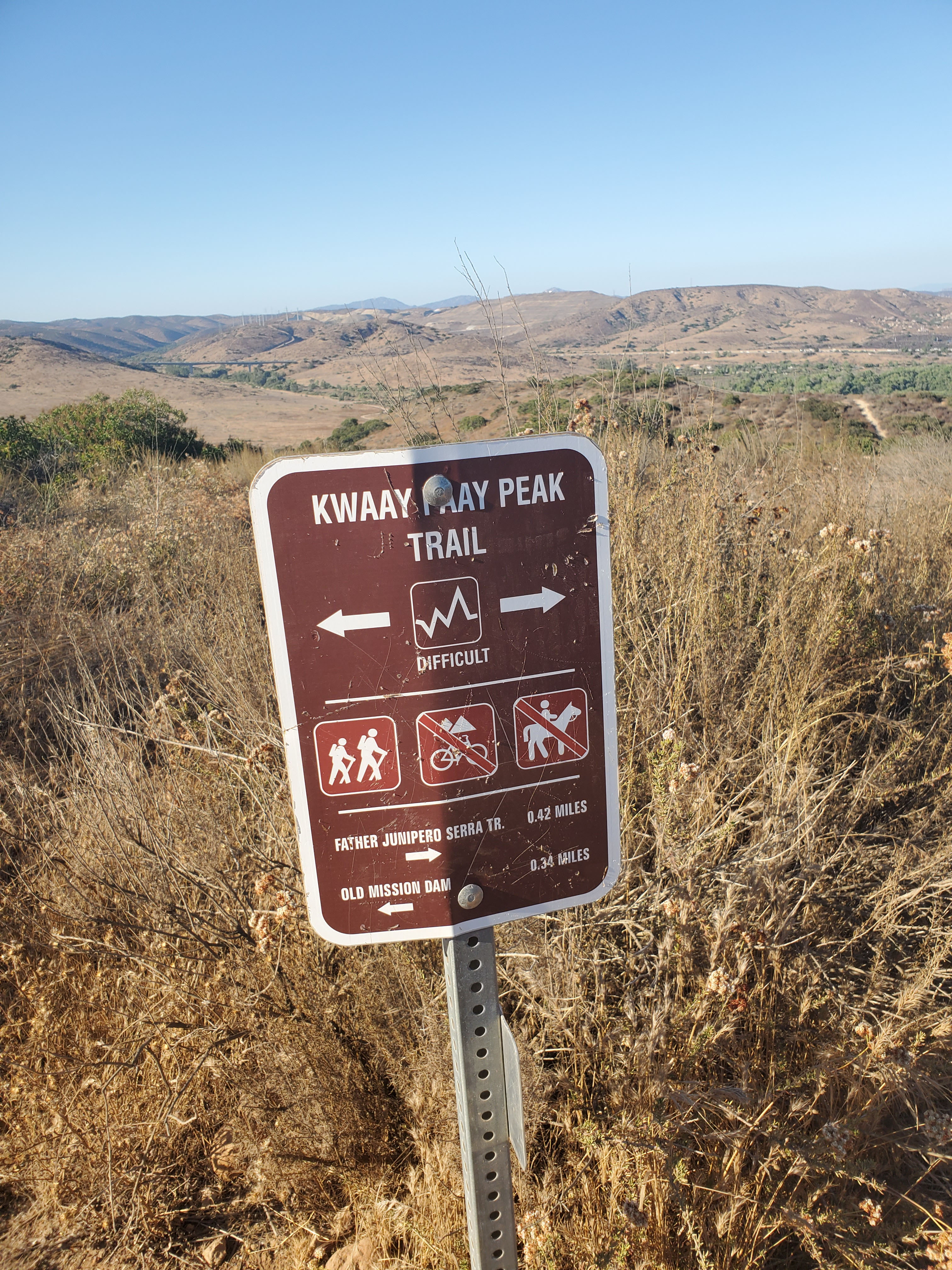
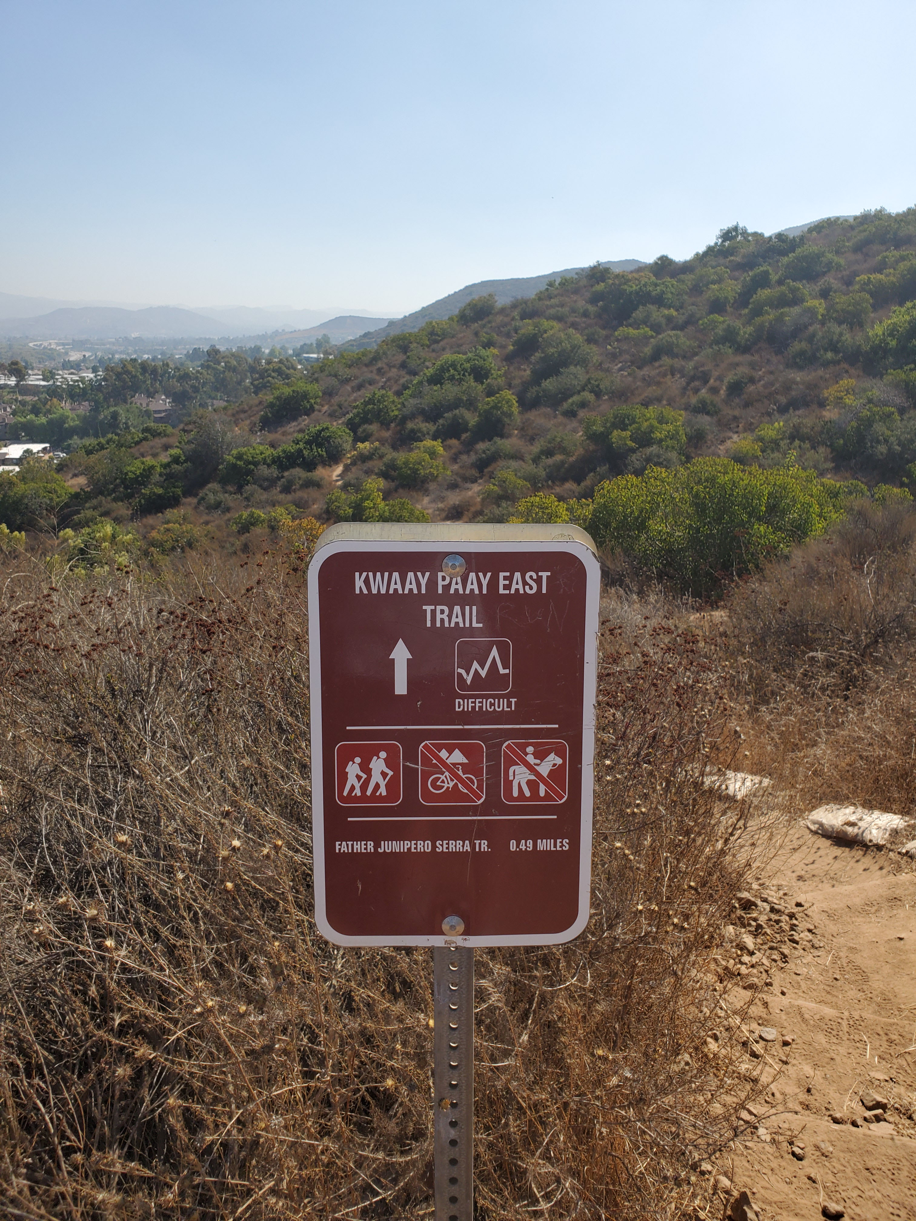
The trail continues up to the top of Kwaay Paay Peak. However for this loop trail you are going to follow the signs back to Father Junipero Serra Trail. You have two choices, you can bear to the left for a distance of .42 miles back to the road, or go straight to the right down what is labeled Kwaay Paay East Trail.
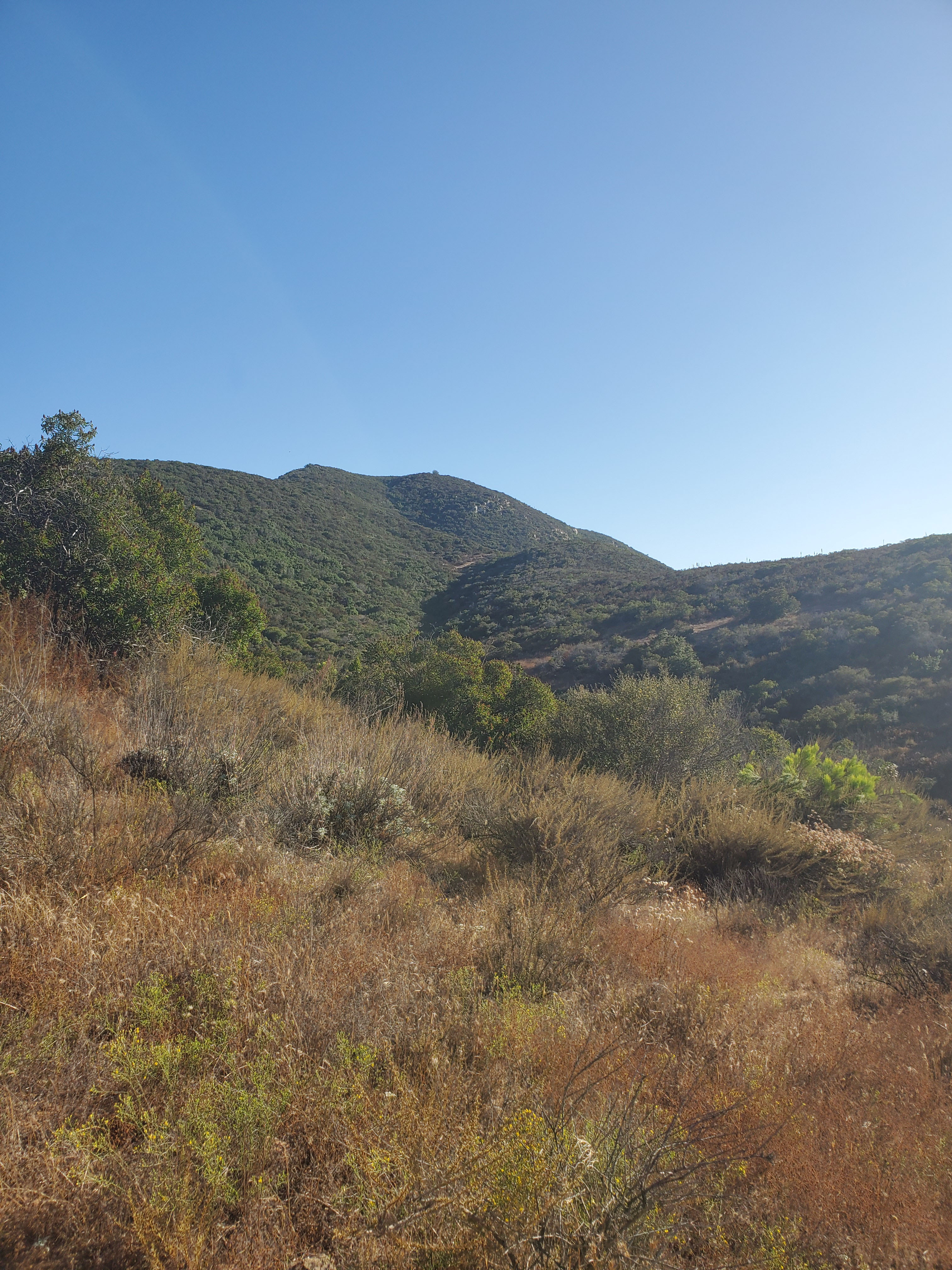
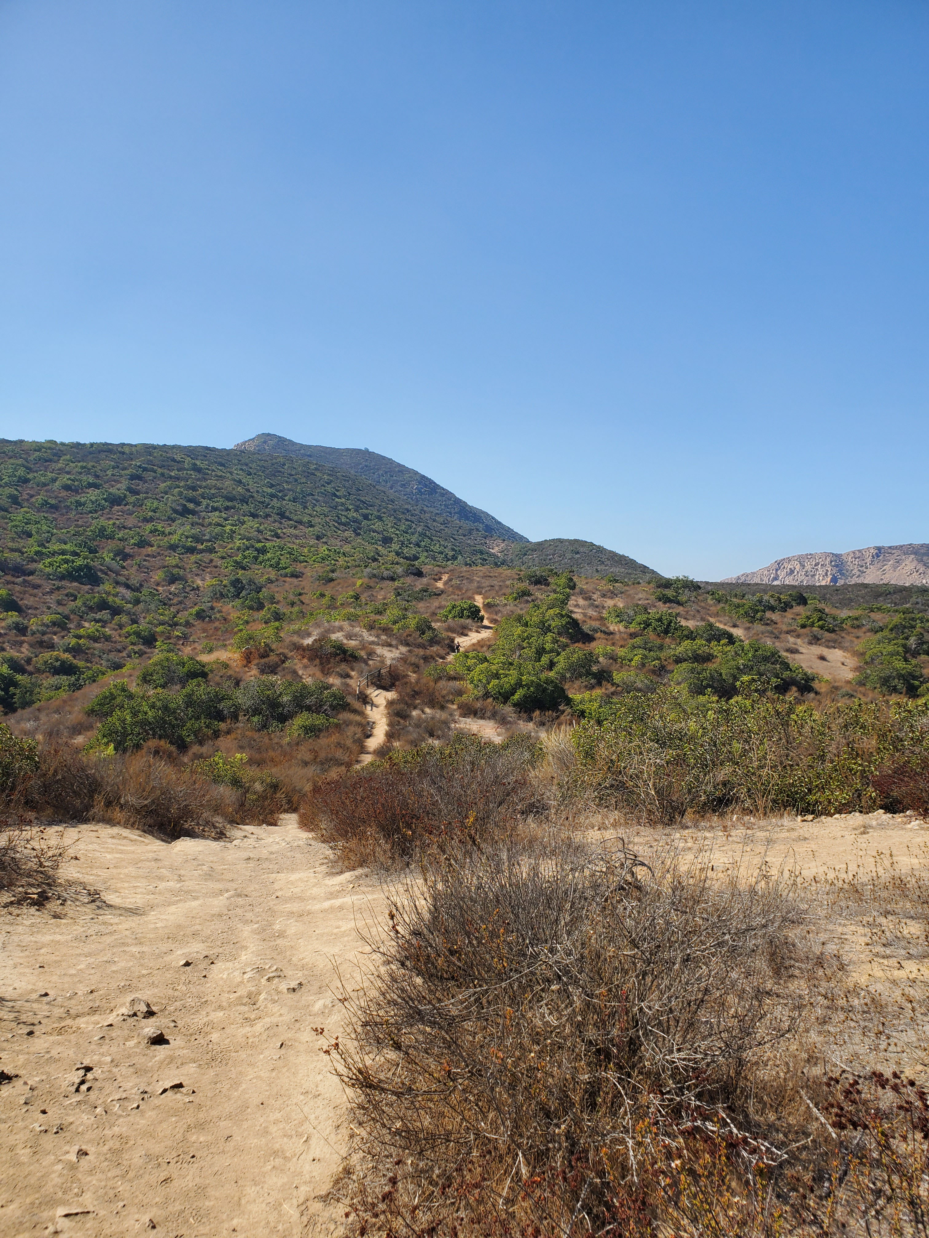
Both trails are labeled as “difficult,” but neither is that intimidating. The Kwaay Paay East Trail is about a tenth of a mile longer but actually easier because it is a more gradual descent. We usually bear towards the left because the East Trail on the right goes into a sub-division.
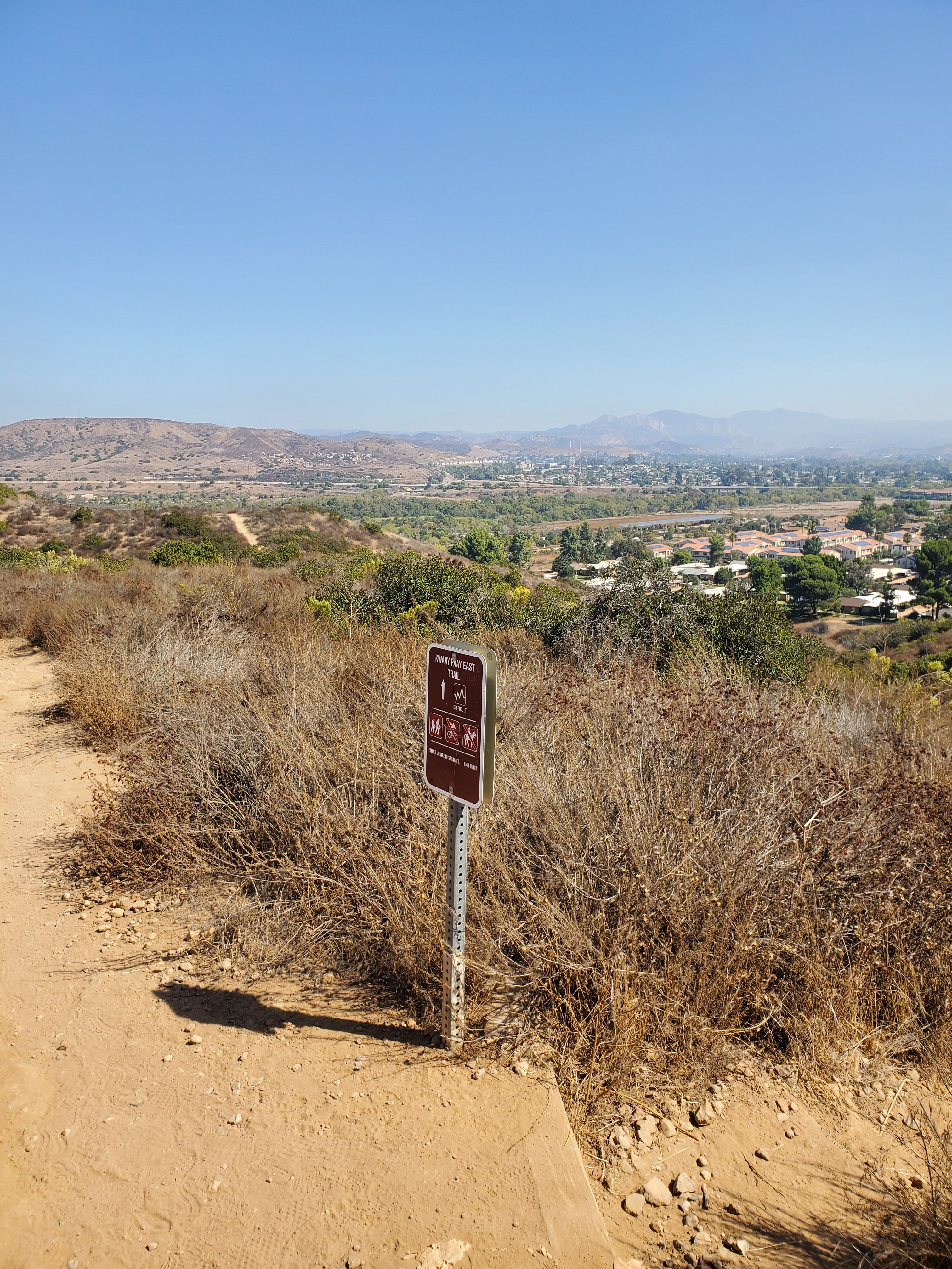
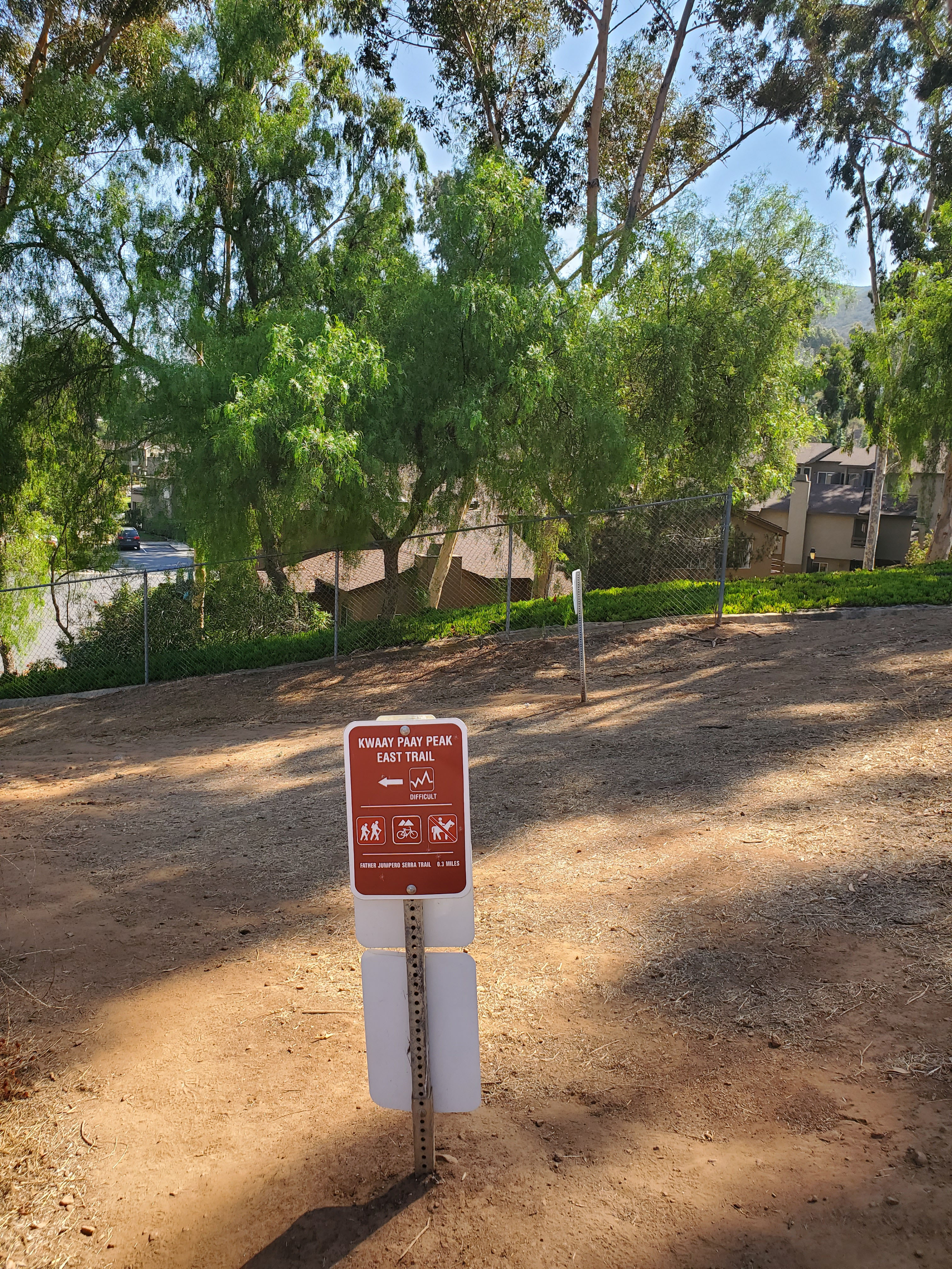
Both ways down come out at the same place, across Father Junipero Serra Trail at the entrance to Kumeyaay Lake Campground. You simply walk back Father Junipero Serra Trail the short distance to Old Mission Dam.
The Grasslands Loop Trail goes from the campground to the dam and is an alternative way to go back and extend your hike. It is a 1.2 mile loop trail.
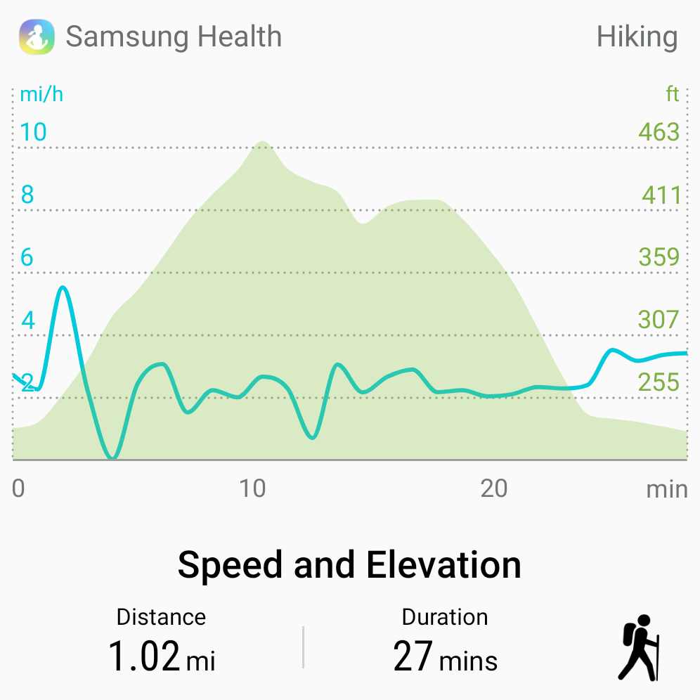
Overall this is a great warm-up for the full hike up Kwaay Paay. It only takes about a half-hour and can be combined with the flat 1-mile Grasslands Loop Trail and a visit to the Old Mission Dam.
Make sure and see our full guides to both Mission Trails Regional Park as well as our full list of hikes at Mission Trails.
For more hikes in Mission Trails Regional Park be sure and check out our full guide. We also have a regularly updated hiking guide.
2 Comments
Comments are closed.