Share
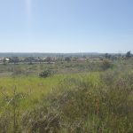
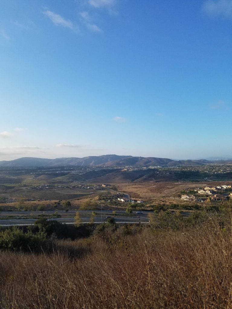
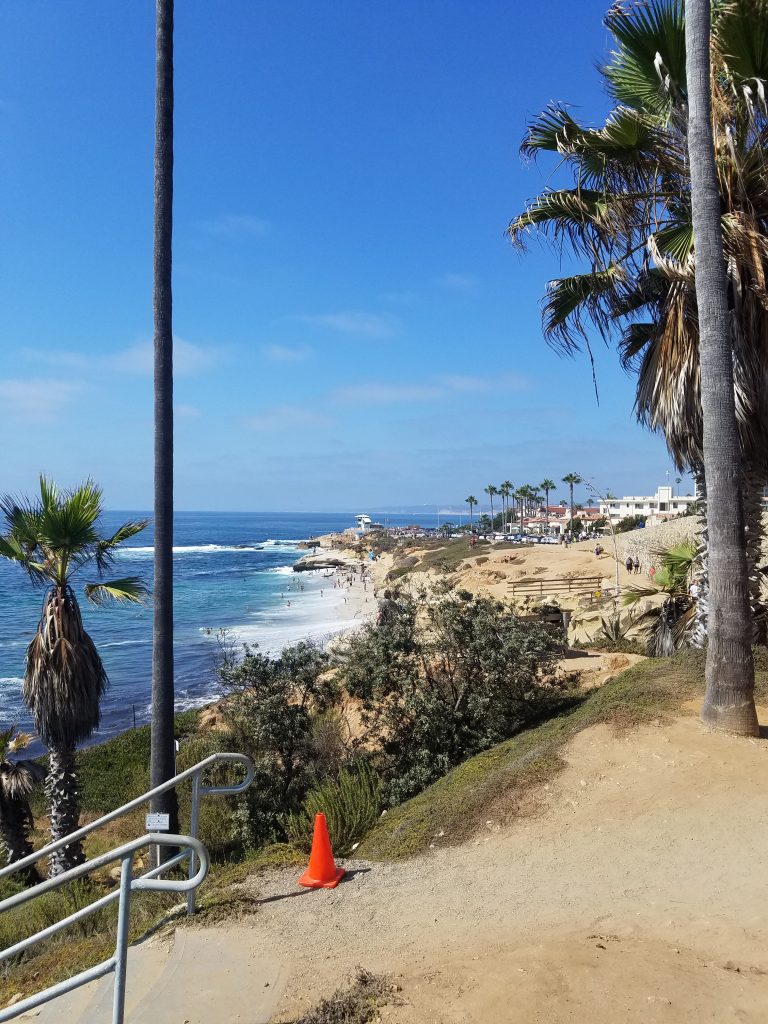
With over 60 miles of hiking trails, Mission Trails Regional Park in San Diego is one of the largest urban parks in the United States. This is our guide to hiking Mission Trails.
Overview
WEBSITE: https://mtrp.org/
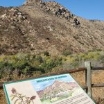
Mission Trails Regional Park was started in 1974. It continues to grow today as new areas are added. Currently the park is 7,220 acres. However, there are plans to add another 2,600 acres to make the total nearly 10,000 acres.
There are many activities at Mission Trails and you should check out our full guide for complete details.
Mission Trails Regional Park Guide
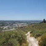
Mission Trails Regional Park is one of the largest urban parks in the United States. Only eight miles from downtown San Diego, Mission Trails seems miles away from city life. This is our core guide to Mission Trails Regional Park. Overview WEBSITE: https://mtrp.org/ Mission Trails Regional Park was started in 1974. It continues to grow […]
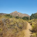
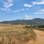
The focus on this post is on hiking trails. In many cases these trails are also good for mountain biking. Some of the trails on the perimeter of the park are also used for horseback riding (including the Perimeter Trail).
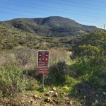
We are adding trail guides as we formally hike each trail. This post will act as a link to hike. We have sorted categories by location and difficulty. We have followed the official Mission Trails category ranking hikes from 1, easiest to 3 hardest.
The Mission Trails guide further divides hikes into regions of the park. We do not follow this distinction. However, we do note that Fortuna Region is only about a mile hike from the Mission Gorge Visitor Center. However, by car it is as much as a 10-mile drive.
NOTE SPRING 2020: The West Fortuna area of Mission Trails Regional Park is undergoing construction activity on the water line until Winter 2022. This has included closing the parking lot at West Fortuna Staging Area. However, most trails are open. There may be some detours and construction conditions can change regularly. Before hiking you can check the official map for the project to look for current conditions. There will also be updates on the official website for Mission Trails.
We also have a separate look at Lake Murray (about 4 miles from the visitor center) and the new West Sycamore area which is 20 miles away.
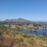
Lake Murray Bike Trail
Lake Murray Reservoir is part of San Diego’s massive Mission Trails Regional Park. This area is great for boating, fishing and general recreation. It also has a paved biking/jogging trail that is perfect for the entire family. This is our guide to the Lake Murray Bike Trail. Starting Point: Lake Murray Rest Area, 5650 Kiowa […]
We start with the 5-Peak Challenge which to hikers is the prime attraction of Mission Trails Regional Park. It should be noted that all hikes in the 5-Peak Challenge are at the most difficult 3-level.
5-Peak Challenge
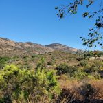
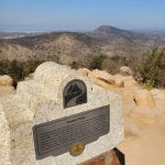
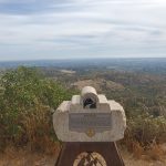
Cowles Mountain has long been one of San Diego’s most popular hikes. However, it is only one of 5 mountains at Mission Trails.
In late 2015, Mission Trails Regional Park officially launched the 5-Peak Challenge. The goal was to spread visitors out throughout the park.
The challenge is for visitors to hike to the top of each of the 5 peaks and take a picture. By sending in proof you get a certificate. You can hike the mountains in any order and take as long as you want to complete the challenge.

According to this San Diego Union-Tribune article from September 2019, 12,400 people have completed the challenge.
Many people like to complete the challenge in one day. I estimated that you can probably do this in about 15 miles of hiking and 6,000 feet in elevation gain. Our goal is to do all 5 mountains separately and then try them all at once.
The mountains are listed below. The links are to hikes along the route recommended by the official 5-Peak Challenge Map.
- Cowles Mountain
- Pyles Peak
- Kwaay Paay
- South Fortuna
- North Fortuna
Level 1 Easy Hikes
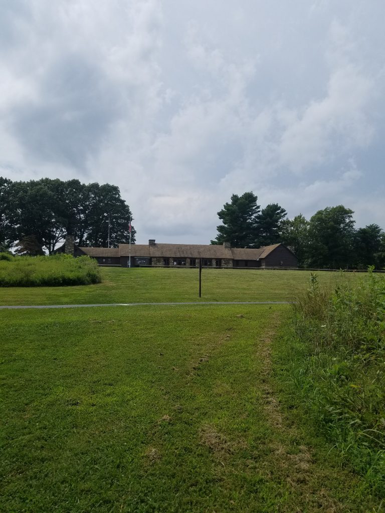
Hiking San Diego: Visitor Center Loop at Mission Trails Regional Park
Mission Trails Regional Park is one of the largest urban parks in the United States. At its heart is a state-of-the-art visitor’s center. One of the most family friendly hikes in the park is the short Visitor Center Loop Trail. Starting Point: Visitor Center, Mission Trails Regional Park Length: 1.5 mile Elevation: 150 foot gain […]
Biking San Diego: Father Junipero Serra Trail
Mission Trails Regional Park is great for hiking. There are also plenty of mountain biking trails. For those looking for an easier ride through the park the paved 2-mile Father Junipero Serra Trail is great for a family bike ride. Starting Point: Old Mission Dam or Visitor’s Center, Mission Trails Regional Park Length: 4 miles […]
Hiking San Diego: 1-Mile Hike on Quarry Loop Trail
Mission Trails Regional Park is one of the largest urban parks in the United States. There are many great hikes located by the state-of-the-art visitor’s center. However, the western end of the park also has a great network of trails. This is our look at a short 1.3-mile hike on suburban Quarry Loop Trail. Starting […]
Hiking San Diego: Quarry Loop Trail at Mission Trails Regional Park
Mission Trails Regional Park is one of the largest urban parks in the United States. There are many great hikes located by the state-of-the-art visitor’s center. However, the western end of the park also has a great network of trails. This is our look at a short 2-mile hike on suburban Quarry Loop Trail. Starting […]
Oak Grove Loop Trail: 1 mile
San Diego Hikes: Grasslands Loop at Mission Trails
Grasslands Loop trail at San Diego’s Mission Trails Regional Park is an easy 2-mile hike. It is a perfect hike for families with children, but it can also be combined with other hikes in the park. Starting Point: 2 Father Junipero Serra Trail, San Diego, CA 92119 (by Kumeyaay Lake Campground entrance) Length: 2 miles […]
Kumeyaay Lake Nature Trail: 1 mil
Deerfield BMX Loop Trail: 1.1 mile
Level 2 Moderate Hikes
San Diego Hikes: Mission Trails Regional Park Oak Canyon Trail
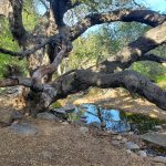
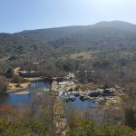
Oak Canyon Trail is one of the best hikes at San Diego’s Mission Trails Regional Park. It goes along a stream above the Old Mission Dam and during the winter and spring there will often be a waterfall. Starting Point: Old Mission Dam, Mission Trails Regional Park Length: 3.4 miles round trip Elevation: 200 foot […]
Shepard Pond via W. Fortuna: 2.3 miles
Hiking San Diego: Quarry Loop Trail via West Fortuna
Mission Trails Regional Park is one of the largest urban parks in the United States. There are many great hikes located by the state-of-the-art visitor’s center. However, the western end of the park also has a great network of trails. This is our look at a 2.5 mile hike that incorporates Quarry Loop Trail. Starting […]
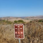
Rim Trail Loop via W. Fortuna: 3.1 miles
Level 3 Difficult Hikes
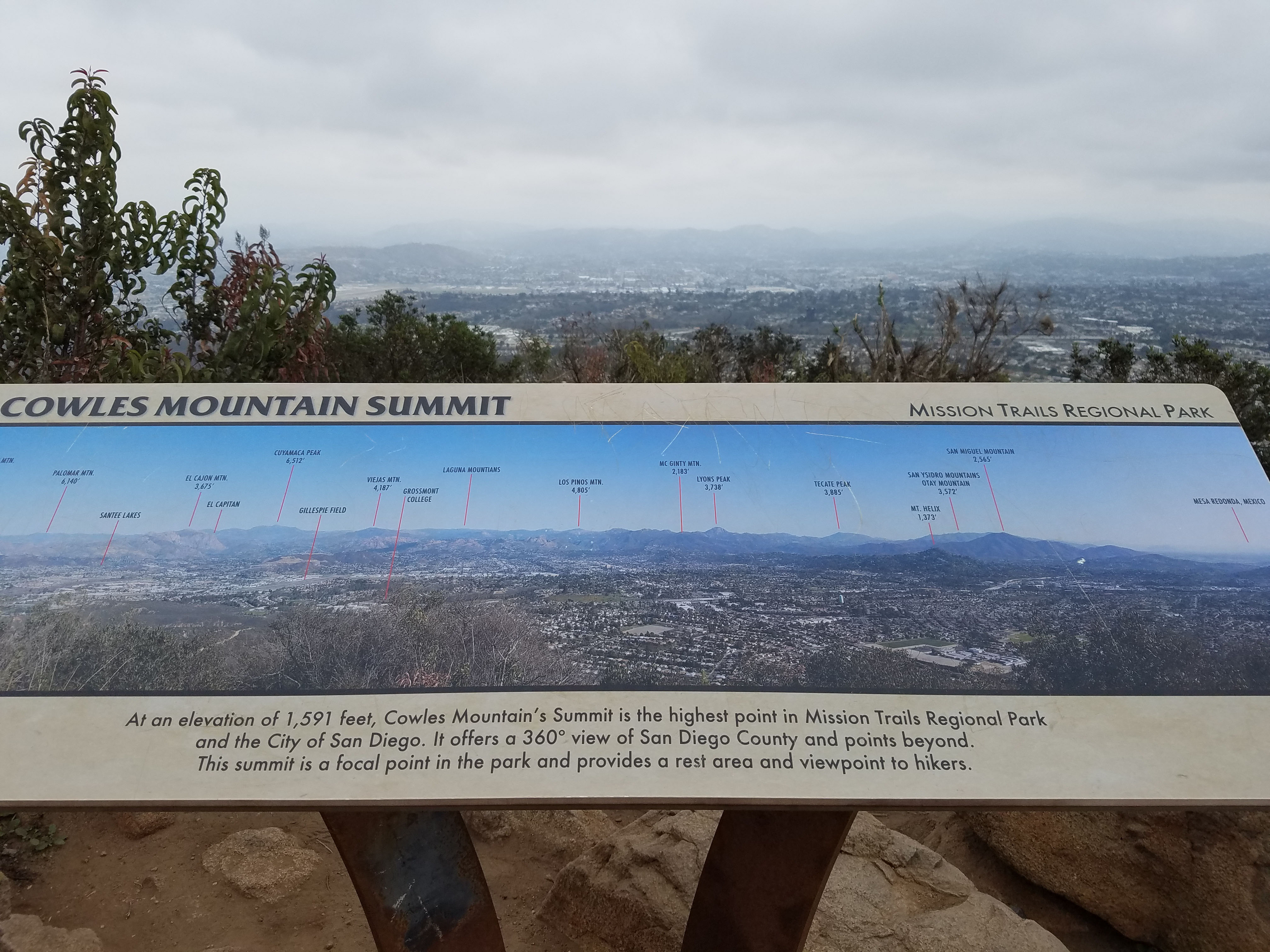
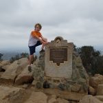
San Diego Hikes: Cowles Mountain and the 5-Peak Challenge
One of the most popular hikes in the city of San Diego is the climb up Cowles Mountain. Cowles Mountain, in Mission Trails Regional Park, is the highest point in the city limits of San Diego at 1,594 feet. Fun Diego Family does not do this hike very often because we live next to Black […]
Cowles Mountain via Cowles Service Road: 1.6 miles
Cowles Mountain via Big Rock Park: 2.5 miles
Cowles Mountain via Mesa Road: 2.1 miles
Pyles Peak: Cowles Mountain Plus 1.5 miles
Hiking San Diego: Climbers Loop at Mission Trails Regional Park
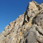
Mission Trails Regional Park is great for hiking. However, it is also a paradise for rock climbers. Climbers Loop Trail is a short 1-mile trail that takes you to the best rock-climbing areas. Starting Point: Father Junipero Serra Trail near Mission Trails Regional Park Visitor’s Center Length: 1 mile Elevation: 400 foot gain and loss […]
San Diego Hikes: Kwaay Paay Peak Trail at Mission Trails
Mission Trails Regional Park introduced the 5-Peak Challenge in 2015 in order to get hikers to explore more trails. Kwaay Paay Peak is an incredibly scenic hike that also remains uncrowded. Starting Point: Old Mission Dam, Mission Trails Regional Park Length: 2.5 to 3 miles Elevation: 900 foot gain and loss Type: out-and-back with loop […]
North Fortuna via Grasslands Crossing: 3.0 miles
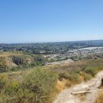
San Diego Hikes: North Fortuna via East Fortuna Staging Area
Mission Trails Regional Park introduced the 5-Peak Challenge in 2015 in order to get hikers to explore more trails. North Fortuna mountain can be accessed from both the west and east end of the park. This hike is the suggested route up North Fortuna via East Fortuna Staging Area. Starting Point: East Fortuna Staging Area, […]
Fortuna Mountains Loop via Grasslands Crossing: 7.1 miles
Fortuna Saddle via Visitor Center: 2.7 miles
Fortuna Saddle via W. Fortuna: 1.8 miles
Suycott Wash: 1.2 miles
Fortuna Mountains Loop via Fortuna Saddle: 4.1 miles
Custom Hikes
We like to combine trails to create our own custom hikes. We will be adding to this section as we discover new hikes.
This hike combines the Oak Canyon Trail with a return along the North Fortuna Perimeter Trail and Grasslands Crossing to create a 3.6 mile loop.
San Diego Hikes: Oak Canyon Trail Loop Hike
Oak Canyon Trail is one of the best hikes at San Diego’s Mission Trails Regional Park. This hike combines Oak Canyon Trail with some other trails in the park to create a 3.6 mile loop. Starting Point: Old Mission Dam, Mission Trails Regional Park Length: 3.6 miles Elevation: 300 foot gain and loss Type: Loop […]
This is a short one mile hike we rate as level 2
San Diego Hikes: Kwaay Paay Loop Trail at Mission Trails
Fun Diego Family is on a quest to hike all 60-miles of trails in Mission Trails Regional Park. In the process we are building our own custom hikes. This is short level-2 hike that goes halfway up Kwaay Paay Peak. Starting Point: Old Mission Dam, Mission Trails Regional Park Length: 1 mile Elevation: 250 foot […]
San Diego Hikes: South Fortuna Loop
Mission Trails Regional Park introduced the 5-Peak Challenge in 2015 in order to get hikers to explore more trails. South Fortuna is the shortest mountain in the challenge, but it is just as challenging as the higher peaks. This is a 6-mile loop hike that lets you experience both sides of South Fortuna. Starting Point: […]
Level 3 North Fortuna Loop: 6.5 miles
This route combines the suggested route for the 5-Peak Challenge with the North Fortuna Perimeter Loop Trail to complete a loop
Share

19 Comments
Comments are closed.