Mission Trails Regional Park Guide
Mission Trails Regional Park is one of the largest urban parks in the United States. Only eight miles from downtown San Diego, Mission Trails seems miles away from city life. This is our core guide to Mission Trails Regional Park.
Jump Ahead To
Overview
WEBSITE: https://mtrp.org/
Mission Trails Regional Park was started in 1974. It continues to grow today as new areas are added. Currently the park is 7,220 acres. However, there are plans to add another 2,600 acres to make the total nearly 10,000 acres.
This is a mountainous area so, if anything, the size seems larger. For comparison, Central Park in NYC is 843 acres, Golden Gate Park in San Francisco is about 1,000 acres.
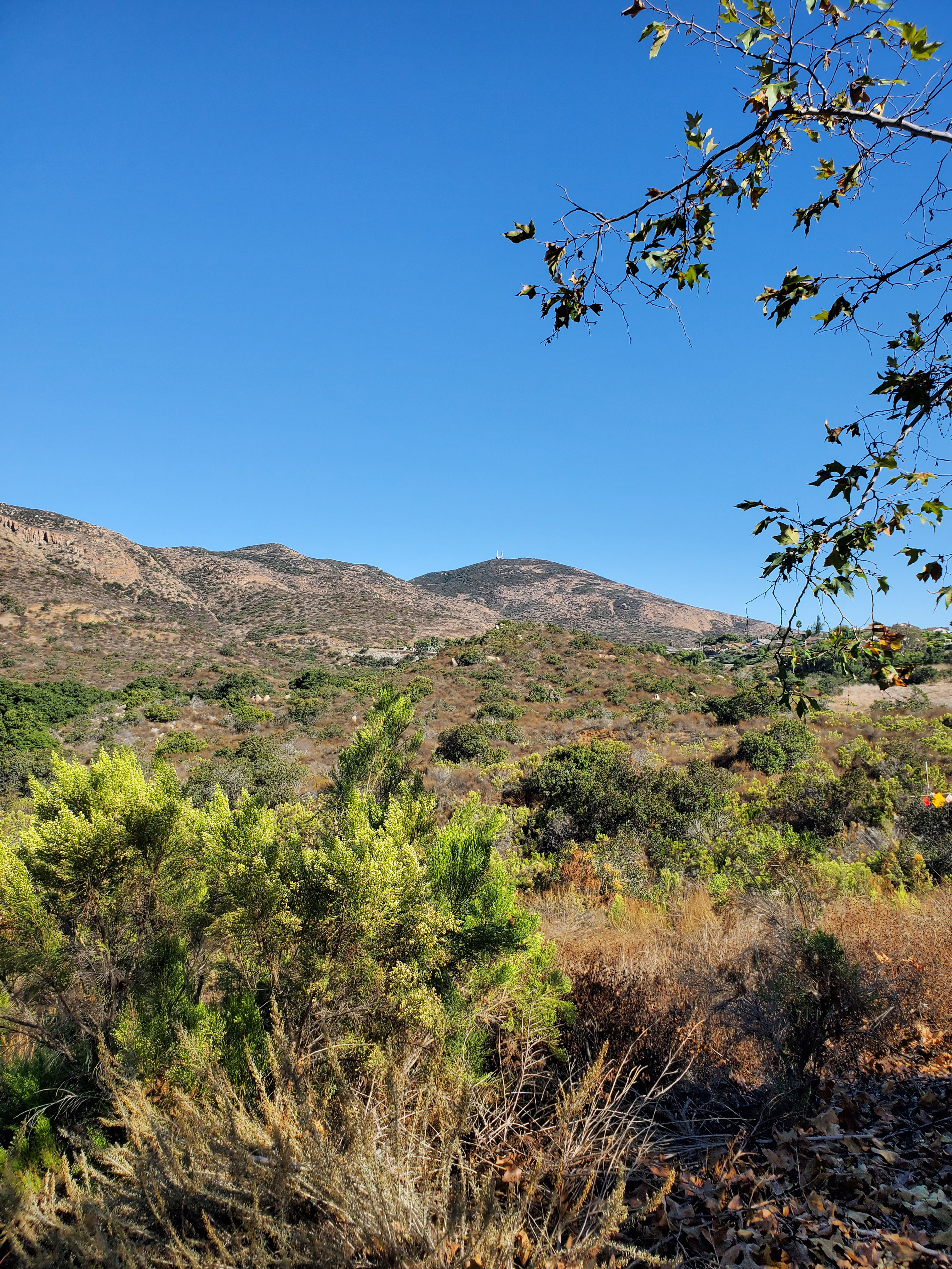
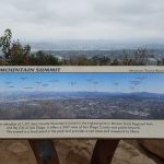
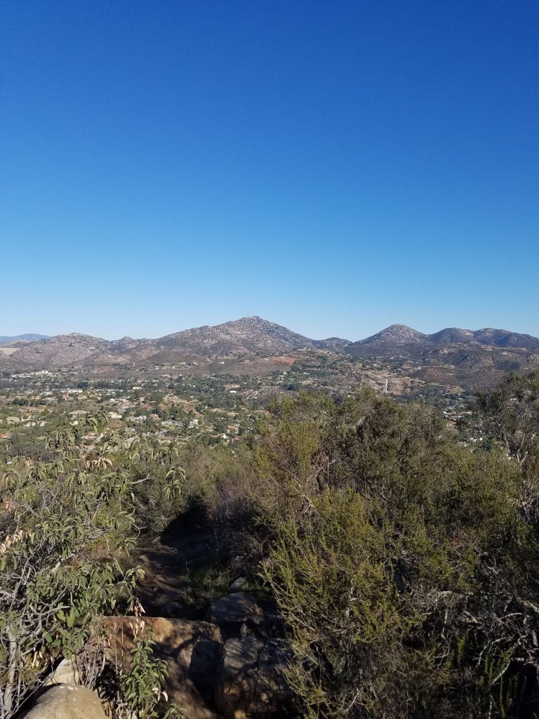
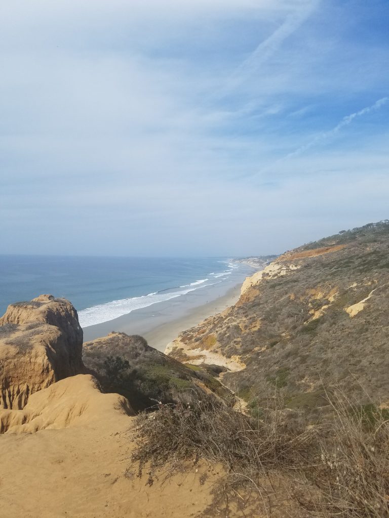
Hiking, biking and horseback riding are huge activities in Mission Trails Regional Park. There are about 65 miles of trails and it is home to Cowles Mountain, the highest point in the city of San Diego.
The hike to the top of Cowles Mountain is one of the most popular in the San Diego region. However, Mission Trails Regional Park has 4 other mountains almost as high. In recent years, the 5-Peak Challenge has encouraged visitors to expand beyond Cowles.
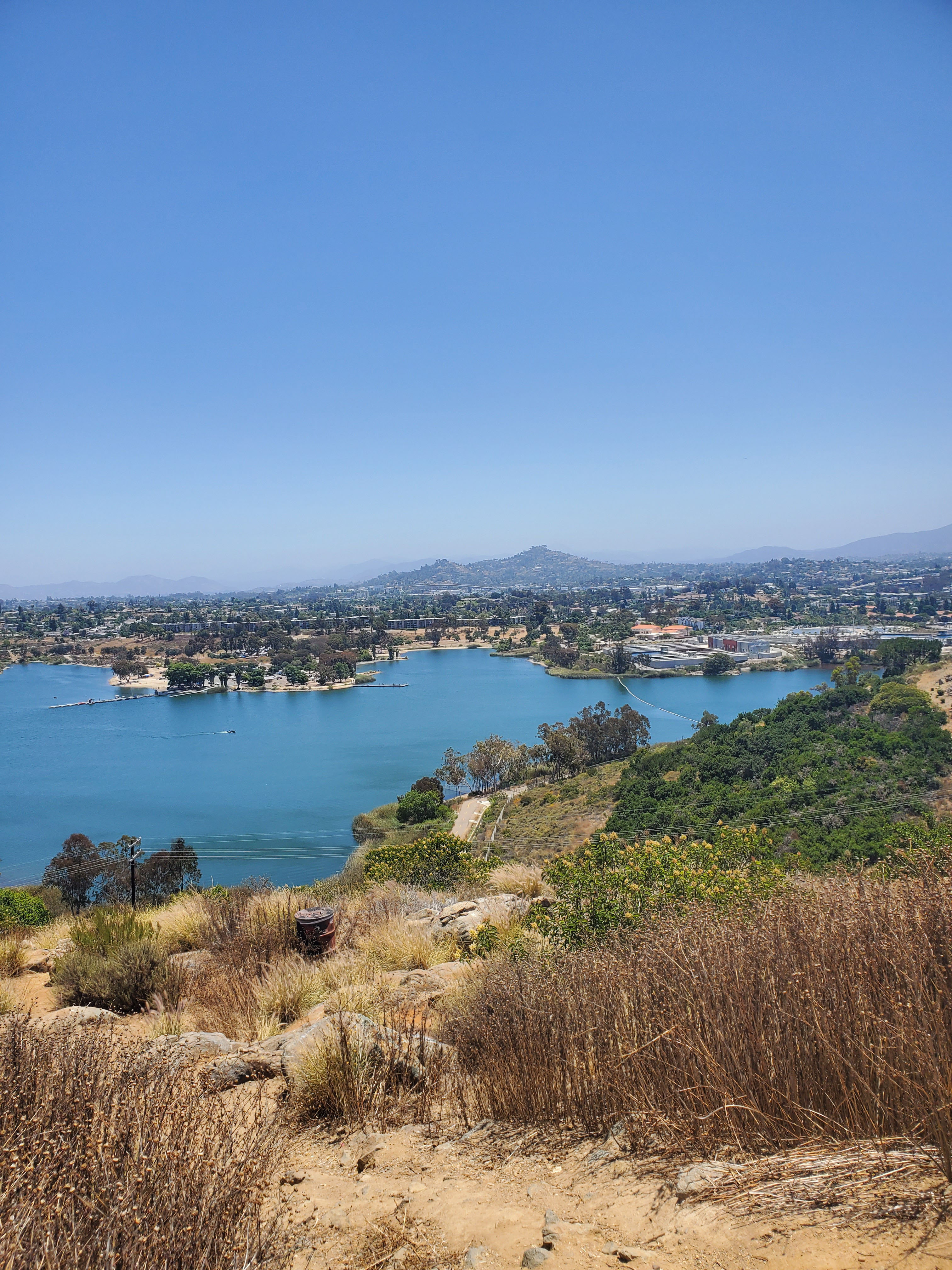
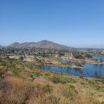
Lake Murray is also within Mission Trails Regional Park. This is a recreational lake with boating opportunities. It is separated from much of the park by golf courses.
Overall it is probably best to separate Mission Trails Regional Park into several distinct areas.
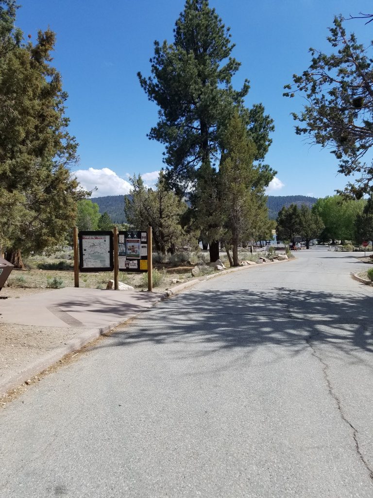
- The Visitor Center: This is in the center of the park and has access to many hiking trails and regular programs and events
- Cowles Mountain: There are several trails up Cowles Mountan that start about a 2 mile drive from the visitor’s center.
- East Fortuna Campground and Dam: On the other end of Mission Gorge from the Visitor’s Center there is a campground, hiking trails equestrian staging area and Old Mission Dam. This area can be reached on a one-way road through the gorge from the visitor’s center but not vice versa.
- West Fortuna entrance: There are several entrances with parking lots on the west side of the park in the suburban Tierrasanta neighborhood. This includes extensive hiking and biking trails. The trails connect to the visitor center but overall it is about a 10 mile drive by car.
- Lake Murray: Lake Murray is about a 4-mile drive from the visitor center.
- West Sycamore: This newer 1,128 acre extension is completely separate from the rest of Mission Trails. It is about a 20 mile drive from the visitor’s center in the Scripps Ranch neighborhood
Visitor Center
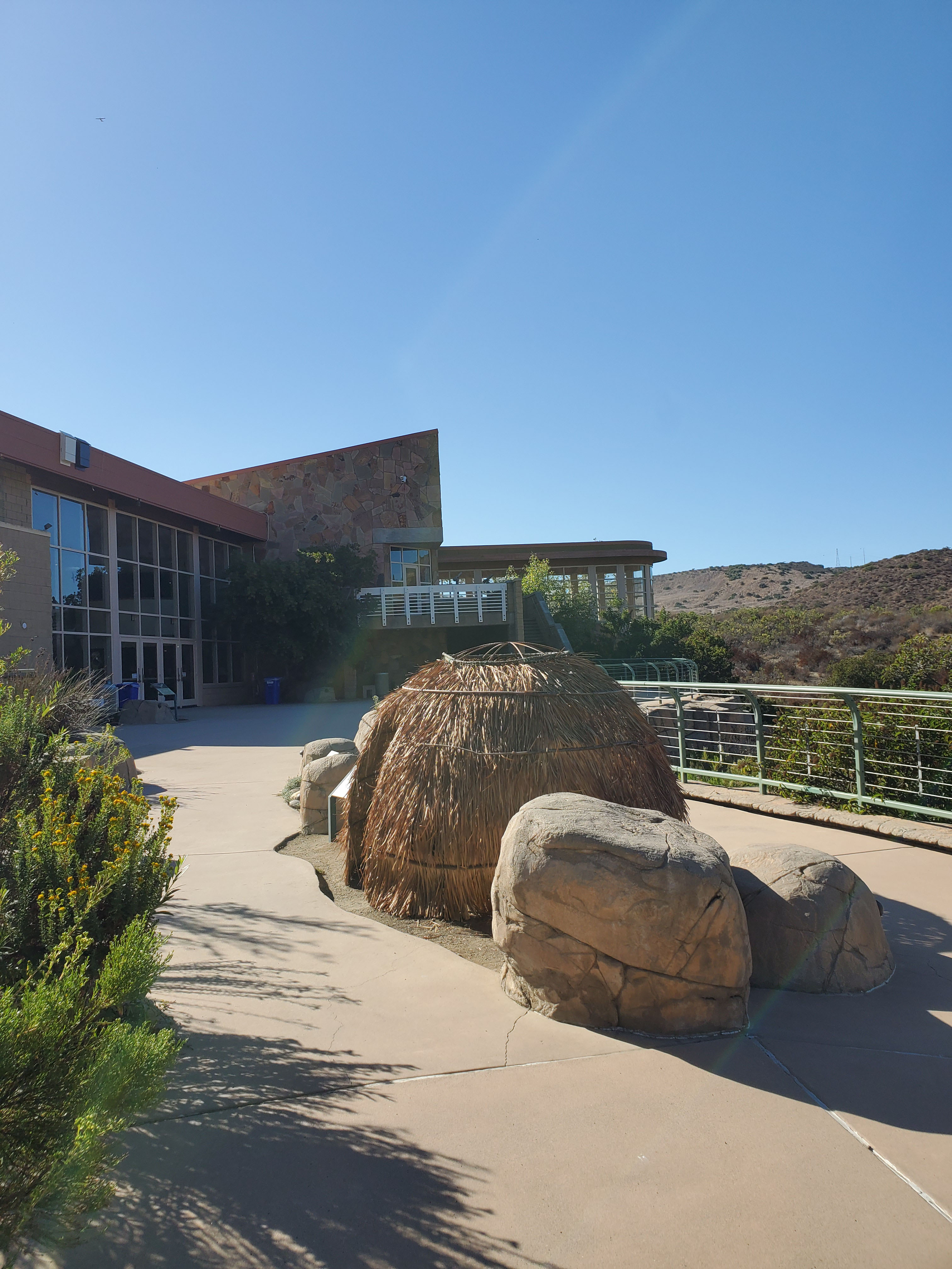
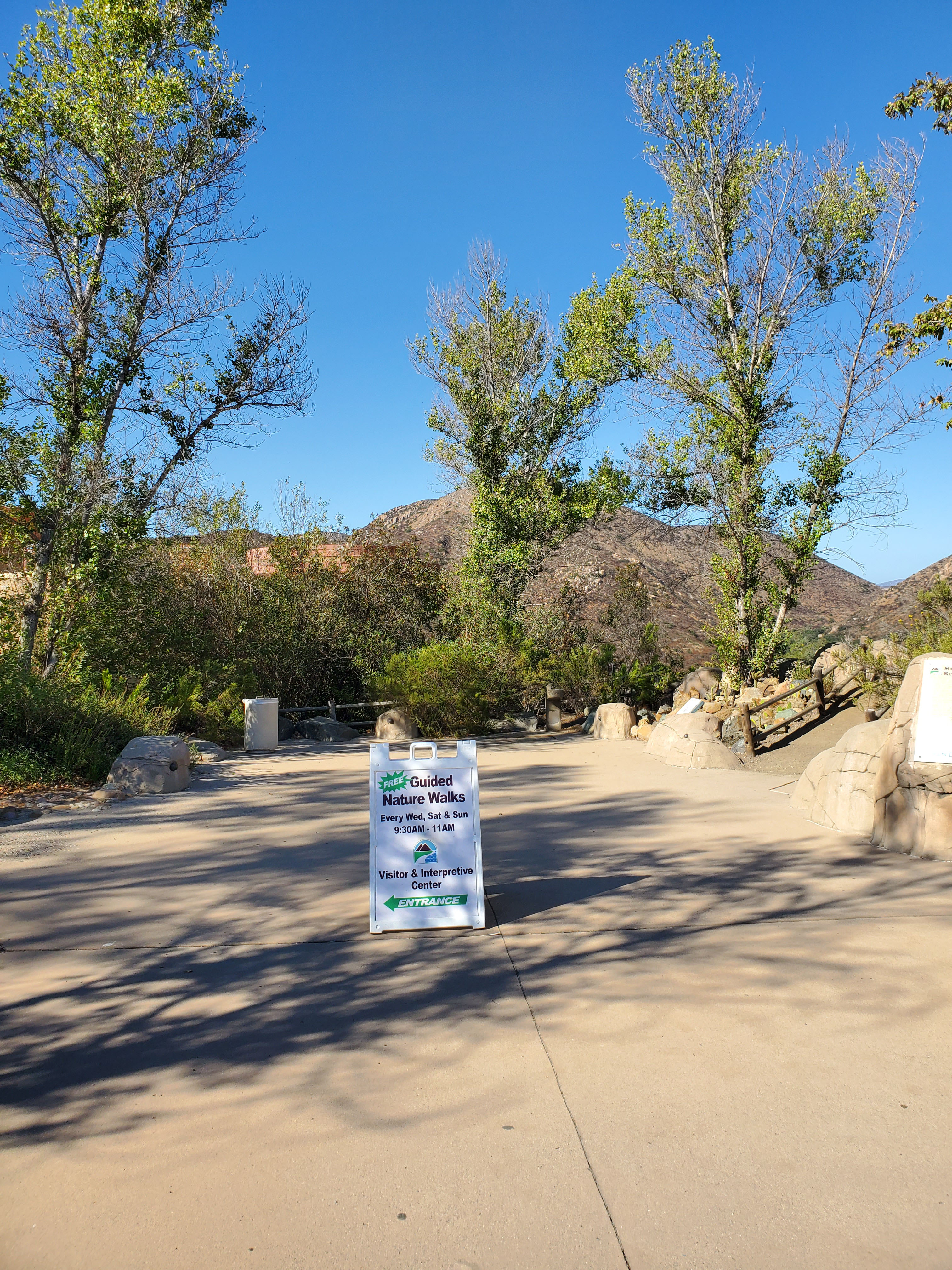
The Mission Trails Visitor and Interpretive Center opened in 1995. It is a state-of-the-art facility that rivals the visitor’s center at many national parks.
The visitor’s center has full displays focused on the plants, animals, geology and history the early Kumeyaay Native Americans that inhabited this area. There is a theater that hosts special events and has vides available on request. There is also a research library open to the public.
Check out our full guide to the Mission Trails Visitor and Interpretive Center.
Hiking and Biking
Trails
There are over 60 miles of trails in Mission Trails Regional Park. These trails range from hiking only, to hiking/biking to multi-use trails good for horsebacking.
We are going to be covering all these trails and will add links on our hiking page as we go.
5-Peak Challenge
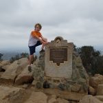
Cowles Mountain has long been one of San Diego’s most popular hikes. However, it is only one of 5 mountains at Mission Trails.
In late 2015, Mission Trails Regional Park officially launched the 5-Peak Challenge. The goal was to spread visitors out throughout the park.
The challenge is for visitors to hike to the top of each of the 5 peaks and take a picture. By sending in proof you get a certificate. You can hike the mountains in any order and take as long as you want to complete the challenge.
According to this San Diego Union-Tribune article from September 2019, 12,400 people have completed the challenge.
Many people like to complete the challenge in one day. I estimated that you can probably do this in about 15 miles of hiking and 6,000 feet in elevation gain. Our goal is to do all 5 mountains separately and then try them all at once.
The mountains are:
- Cowles Mountain
- Pyles Peak
- Kwaay Paay
- South Fortuna
- North Fortuna
Nature Walks
Mission Trails regional park offers many guided nature walks at no cost. You can find a full list on the official site. These include walks from the visitor’s center, Lake Murray and the campground. There are also special walks focused on bird-watching and wildlife tracking. The short hike to Grinding Rock Trails is a great introduction to the native Kumeyaay.
Lake Murray
Lake Murray was created in 1894 as a reservoir. When full the lake covers 171 acres with a maximum depth of 95 feet.
Boating/Fishing
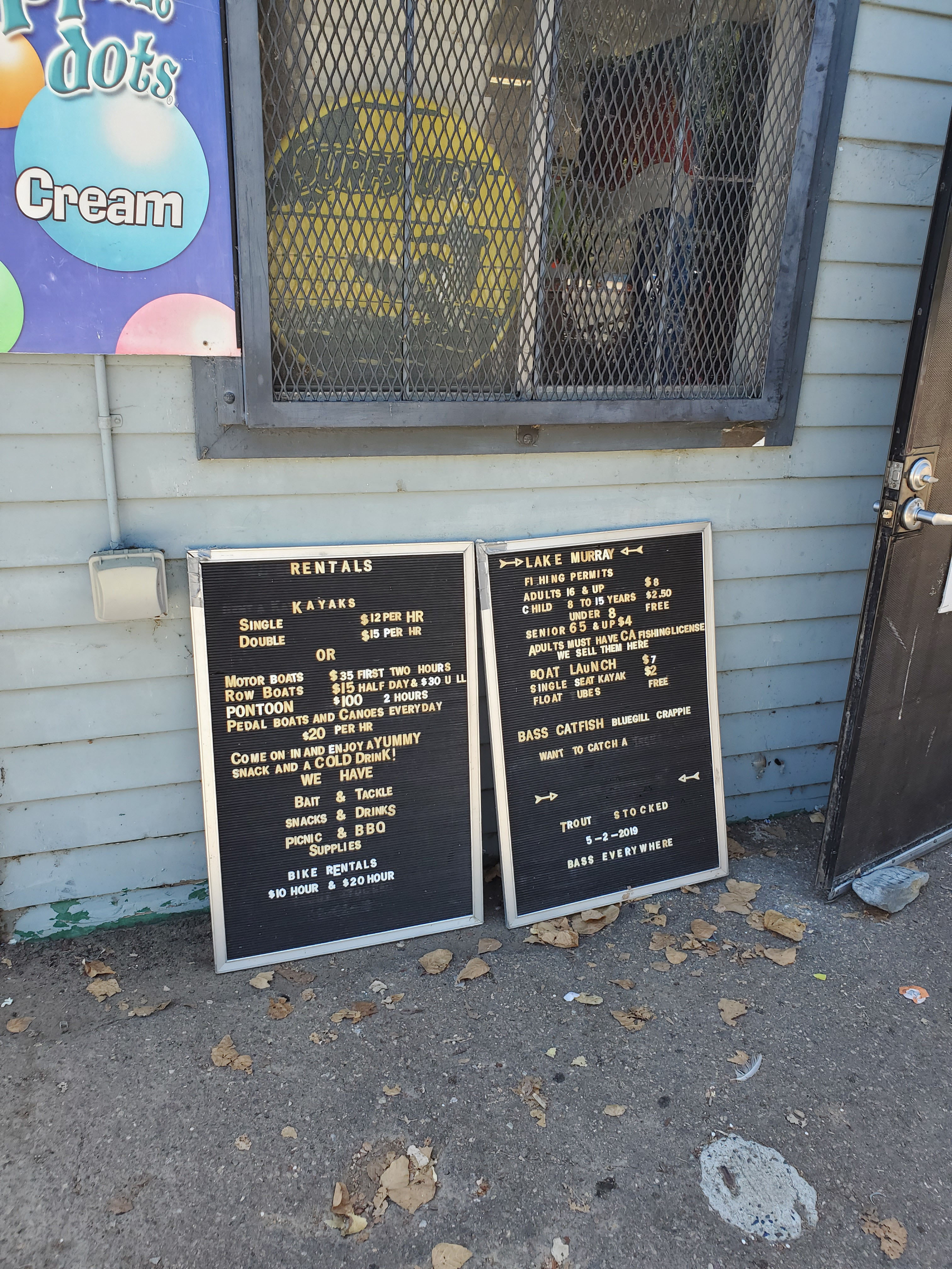
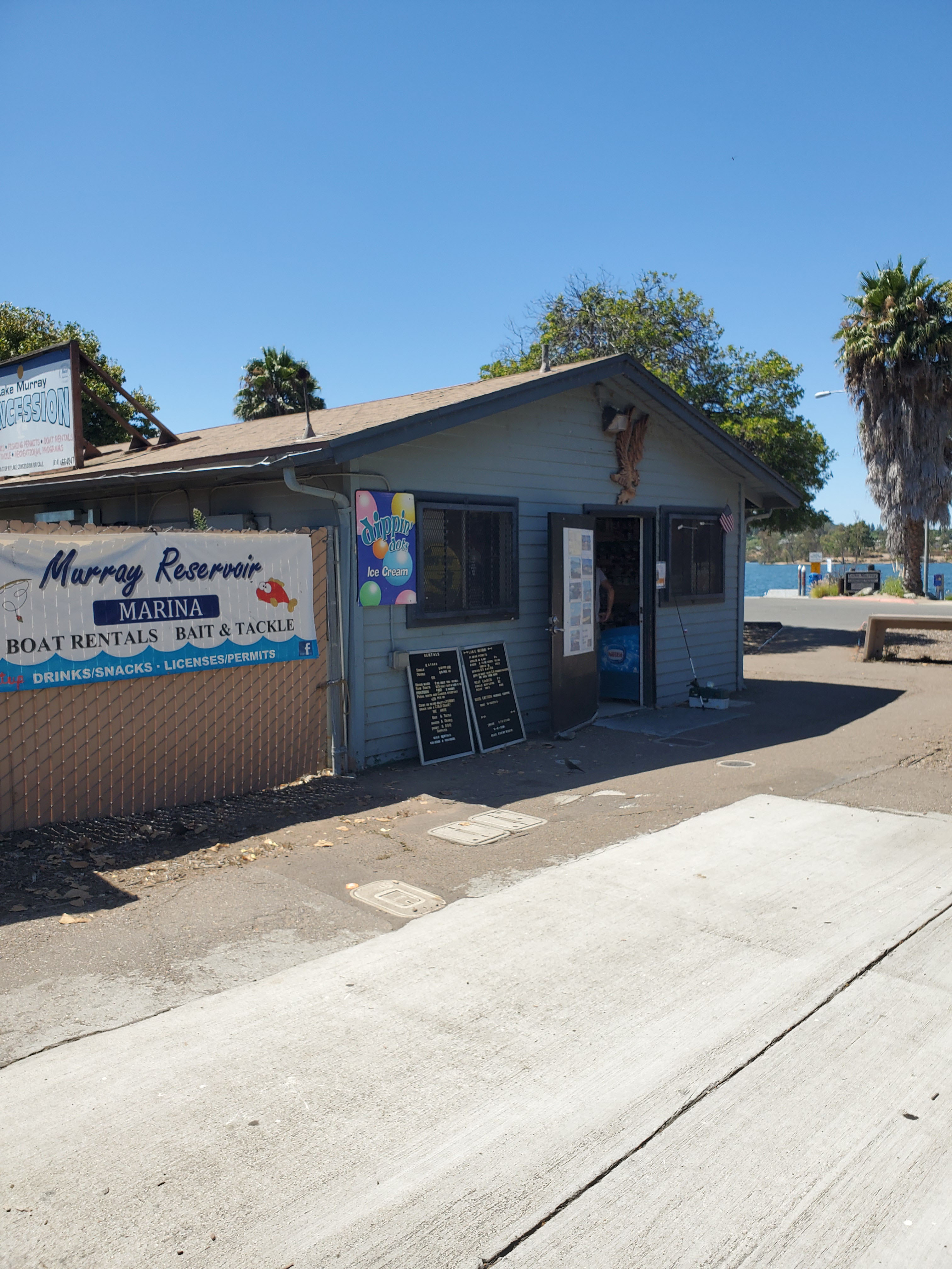
The main entrance to the lake is on the south side off of Lake Murray Blvd. There is a concession stand where you can rent boats, bikes and fishing gear. Anyone over the age of 16 needs a California fishing permit. You can find all the regulations here.
Bike Trail
There are about 3 miles of shoreline around Lake Murray, but you can not do a full circuit of the lake because the dam area is closed off. Nevertheless, the wide trail makes an excellent bike or jogging trail. You can see our full biking guide here.
Playground/Picnic
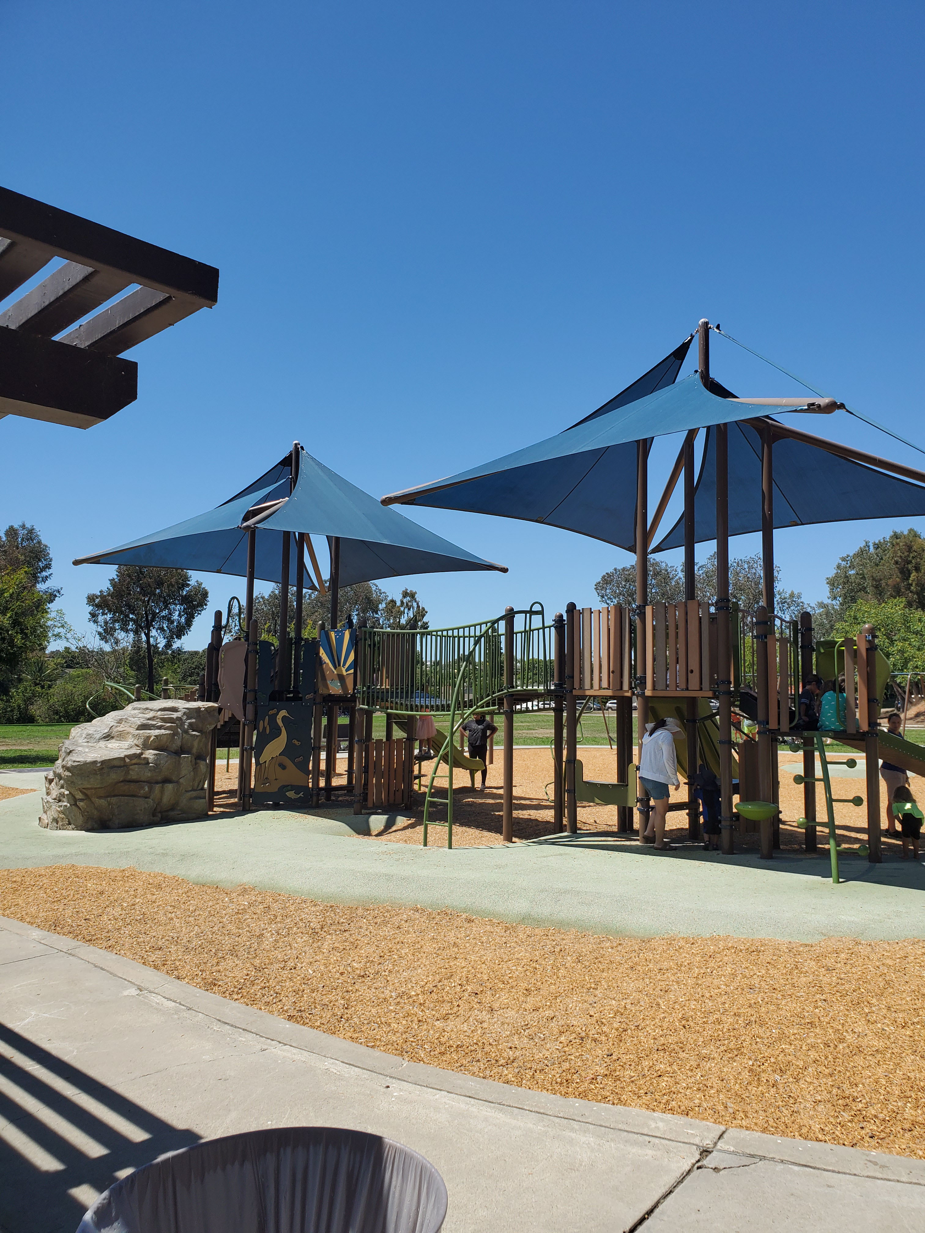
There are 10 BBQs and 64 picnic tables located around the lake. Most of these are located at the southern end near the boat dock and concession area.
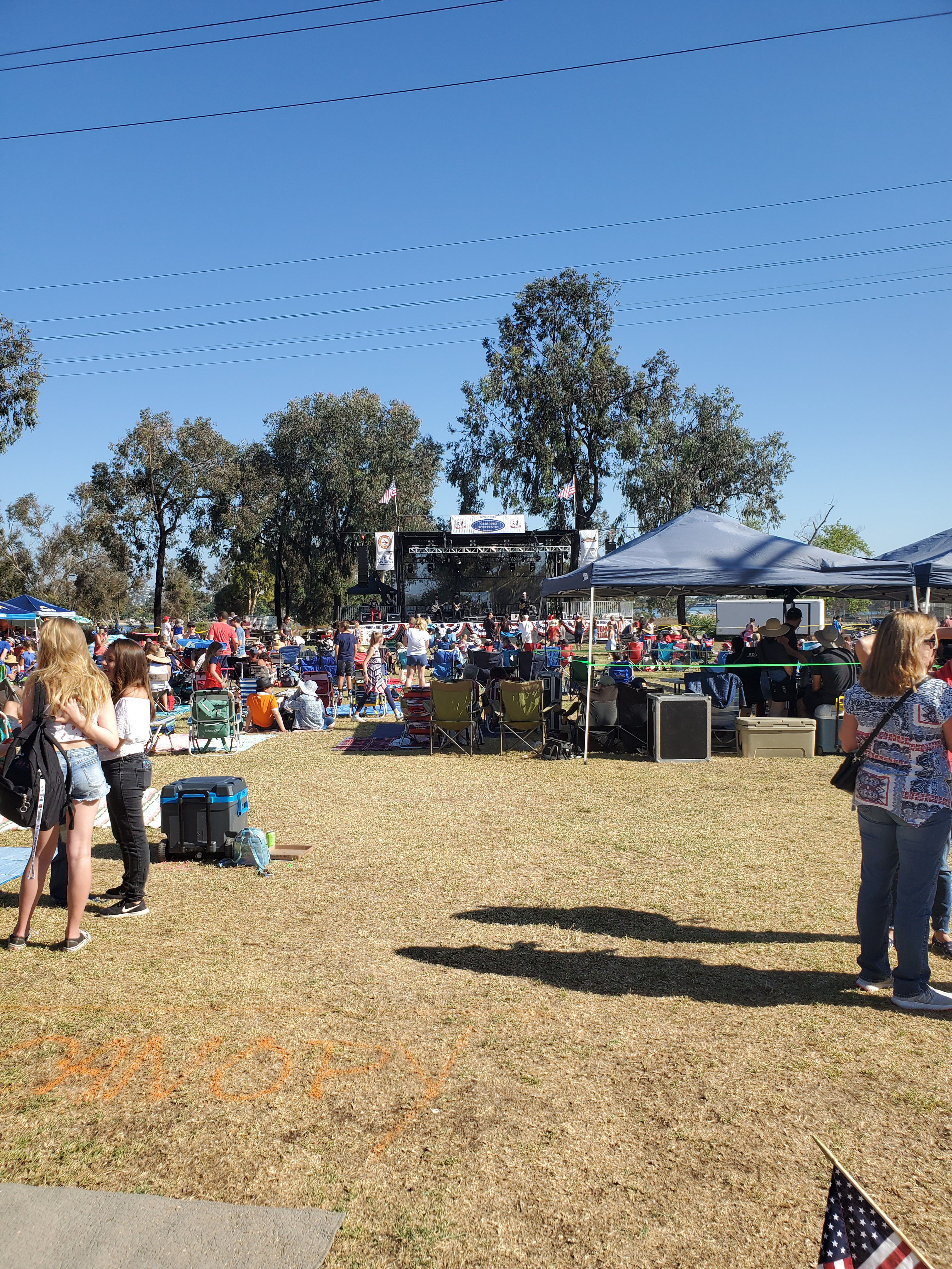
At the north end there is a large grassy area with a playground, baseball fields and picnic areas. This is Lake Murray Community Park. IT is operated by the city of San Diego and the site of several events throughout the year, including the annual Fourth of July celebration.
Old Mission Dam
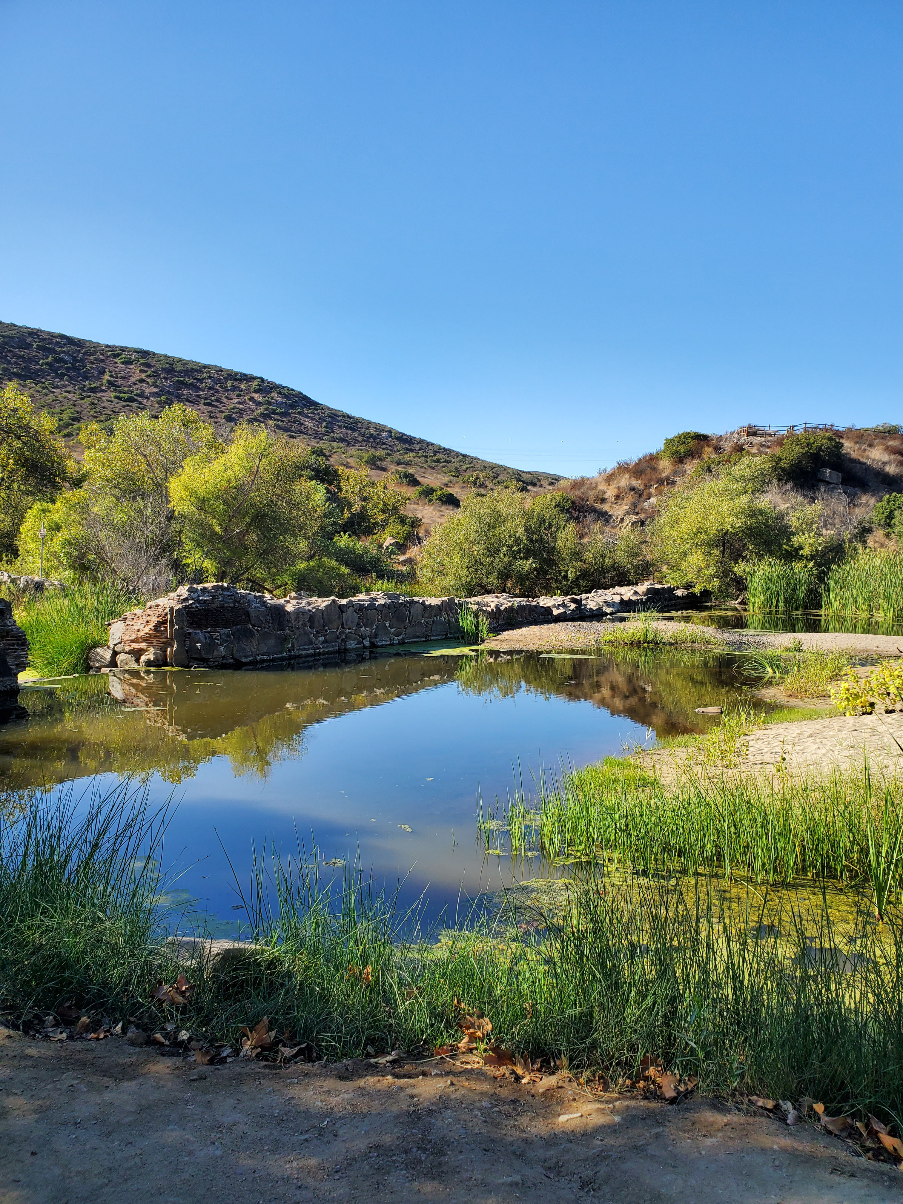
The historic Old Mission Dam was built around 1803 to supply Mission San Diego de Alcala. This was California’s first mission and has since been fully restored. It is located about an 8-mile drive from the dam at the start of the busy Mission Valley area.
Today the dam can be visited via the parking lot at the north end of Father Junipero Serra Trail. Father Junipero Serra Trail is a paved road about 2-miles in length. It is one way from the visitor’s center to the dam with a speed limit of 15-MPH. There is a dedicated paved bike/hiking trail.
The dam has a viewing platform and interpretive markers. You can see our overview here.
Campground
Right next to Old Mission Dam at the end of Father Junipero Sierra Trail is the Kumeyaay Campgrounds and Lake Kumeyaay. There are 46 campsites that can be reserved. For more information and reservations go here.
Horseback Riding
Most horseback riding starts from the East Fortuna Staging area. This is parking lot with space for 47 vehicles and 15 horse trailers. It is located right past the campground at the end of Father Junipero Sierra Trail.
There is a separate equestrian area about 20 miles away in the new West Sycamore addition.
West Sycamore
The West Sycamore portion of Mission Trails Regional Park was added in 2014. This added 1,128 acres and 7 miles of hiking trails.
West Sycamore is located in the Scripps Ranch neighborhood about 20 miles from the main visitor’s center. We will be adding guides to trails as we hike them.
The official address is 17160 Stonebridge Pkwy, San Diego, CA 92131
You can find the official trail map here.
10 Comments
Comments are closed.