San Diego Hikes: The Rolling Stone Trail
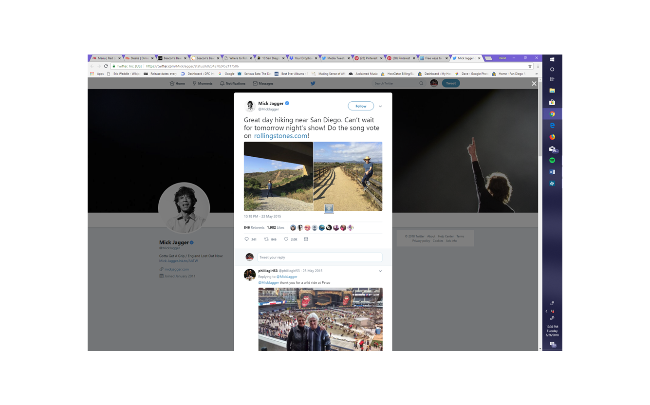
In May 2015 the Rolling Stones came to San Diego to launch their tour at Petco Park. A day before the concert Mick Jagger tweeted a picture with the caption “great day hiking near San Diego.” Everyone in our neighborhood was excited because Black Mountain was clearly in the background. So this is my chronicle of my efforts to retrace where Mick Jagger hikes in San Diego. I have dubbed this hike The Rolling Stone trail.
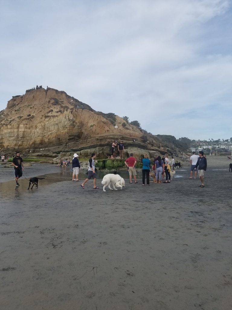
Based on the picture it initially looked like Jagger hiked in Black Mountain Open Space Park. This is right by our house and we have a complete guide to hiking that area. The guess was it was on the new Lusardi Creek Loop Trail. After 14 miles of hiking I realized this was not where he was. Instead it was over somewhere in the newly developed Carmel Valley.
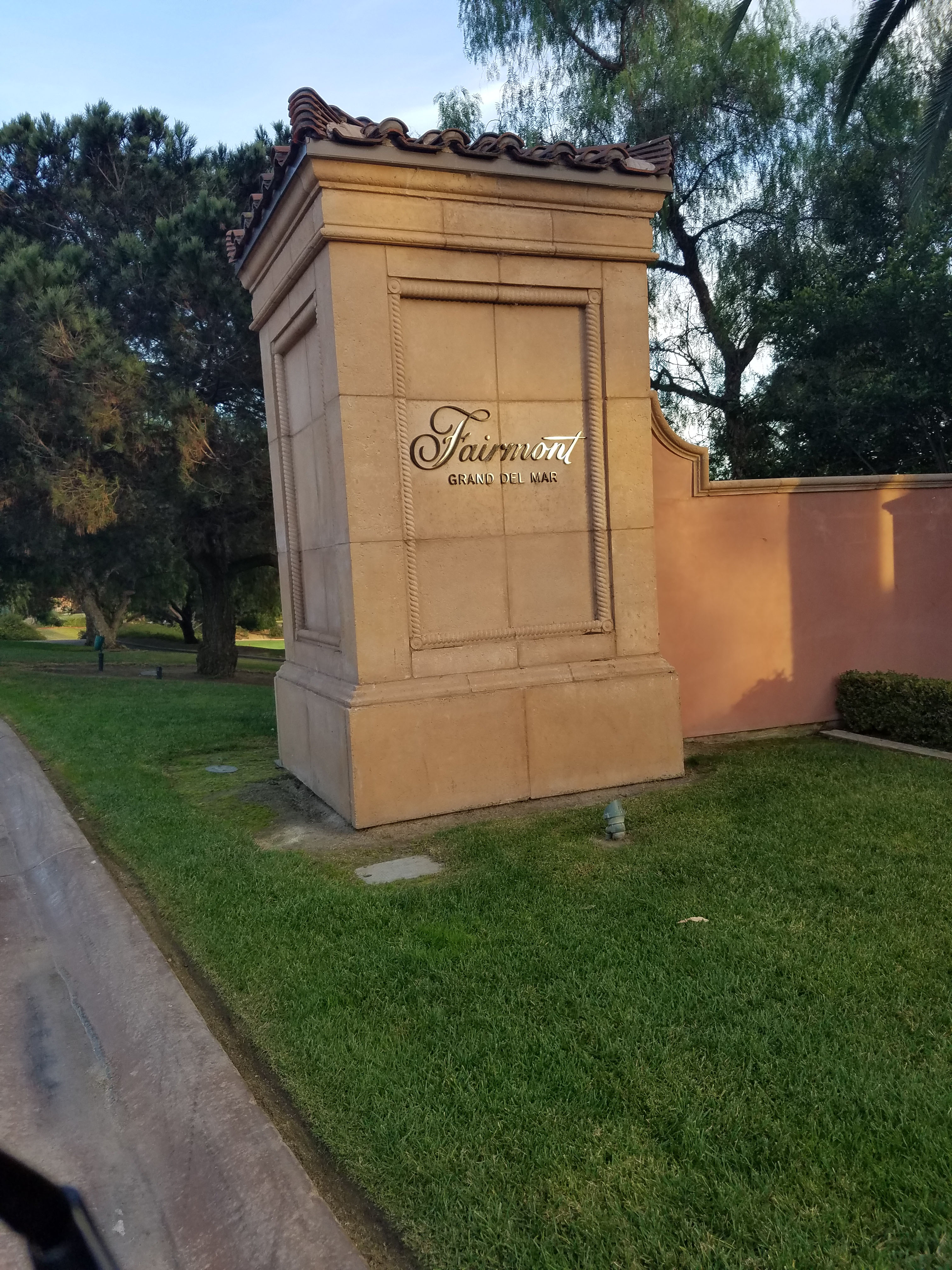
A quick Internet search revealed the Rolling Stones stayed at the Fairmont Grand Del Mar. This super fancy luxury hotel has 4,000+ Ft. villas so it is perfect for rock stars. This is a newly developed area of San Diego. It includes lots of new hiking trails I have yet to explore. So my goal was to start near my house and hike to the Grand Del Mar. Hopefully along the way I would spot the exact point where Mick Jagger hiked. 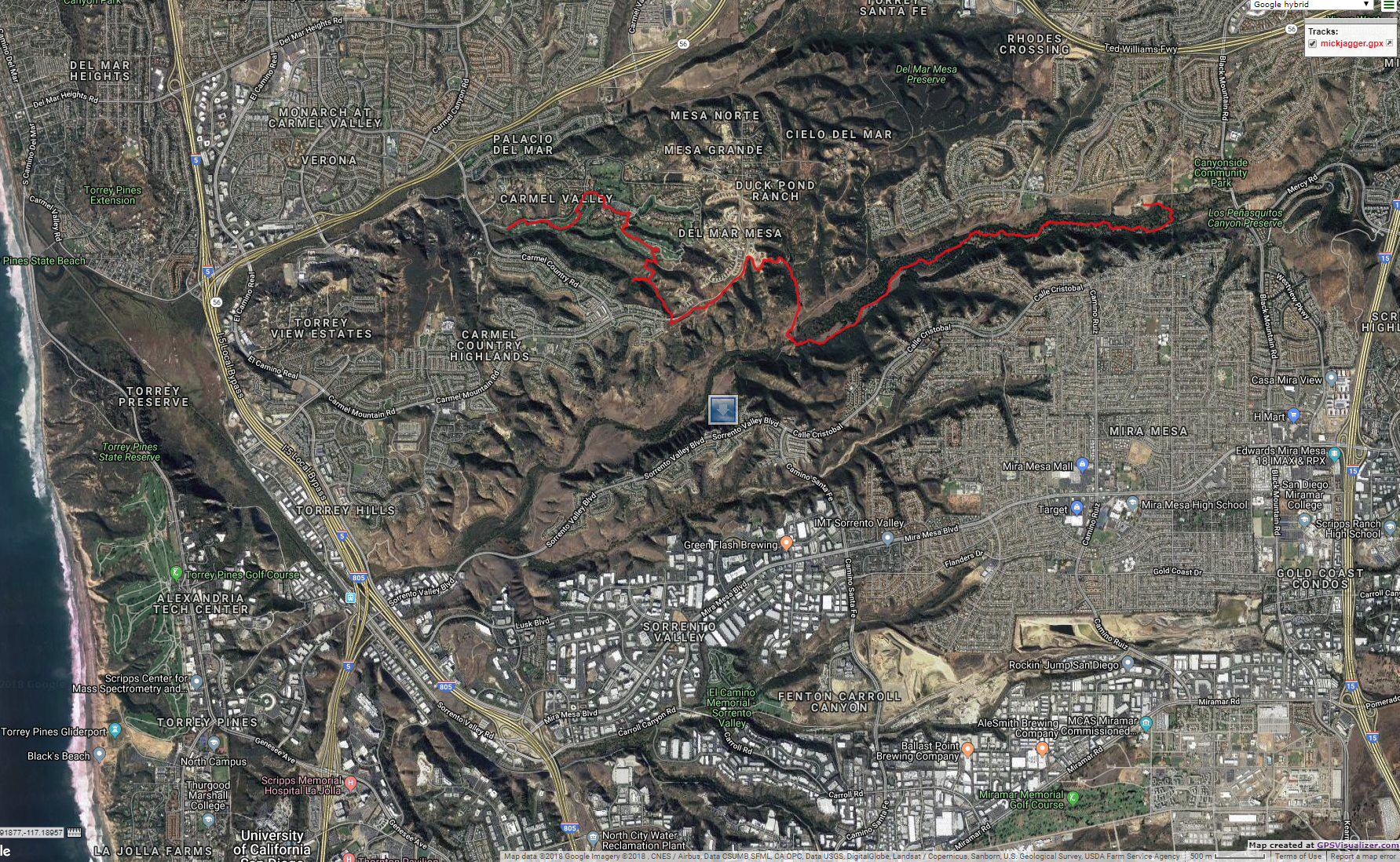
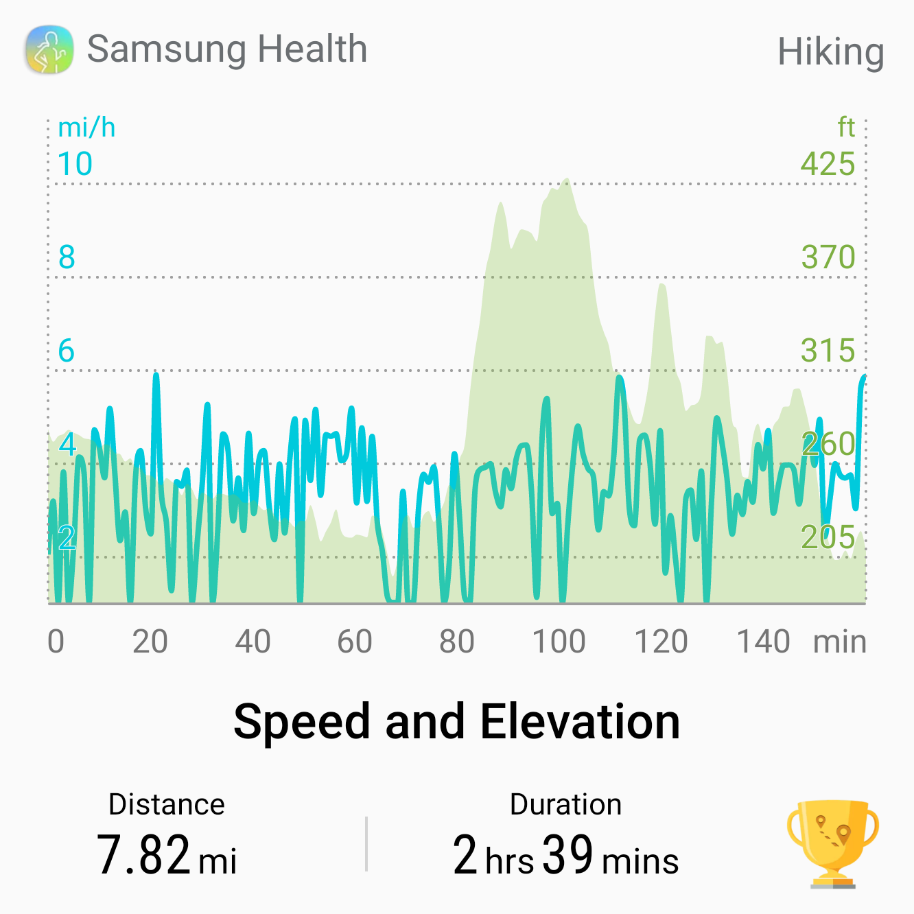
- Starting Point: Los Peñasquitos Ranch House, Canyonside Park Driveway, San Diego, CA 92129
- Length: 7 to 8 miles
- Elevation: mostly flat with a 200 foot climb
- Type: One way
Jump Ahead To
Straight to the Photo Spot
To save the suspense I will tell you straight off I found where the photos were taken. If you want to go straight to the site it is on the side of Carmel Mountain Rd, right past Gallop Crest Ct. That is the picture taken of him sitting on the fence (a great Rolling Stone song!). The bridge picture was taken a little west down Carmel Mountain Rd where the trail cuts under the road. This trail leads directly to the Fairmont Grand. Note there is no parking on the side of Carmel Mountain Rd. The nearest parking is about a half a mile away on side streets or by the park at Duck Pond Lane near the trail to the waterfall.
My Journey on the Rolling Stone Trail
My hike is a little more epic. It is a nearly 8-mile hike one-way. I started at the east end of Penasquitos Canyon Preserve. I followed our Penasquitos Canyon Waterfall hike to the waterfall. At the waterfall, I crossed to the north side of the creek and walked about 100 yards back east to a trail that heads north out of the canyon.
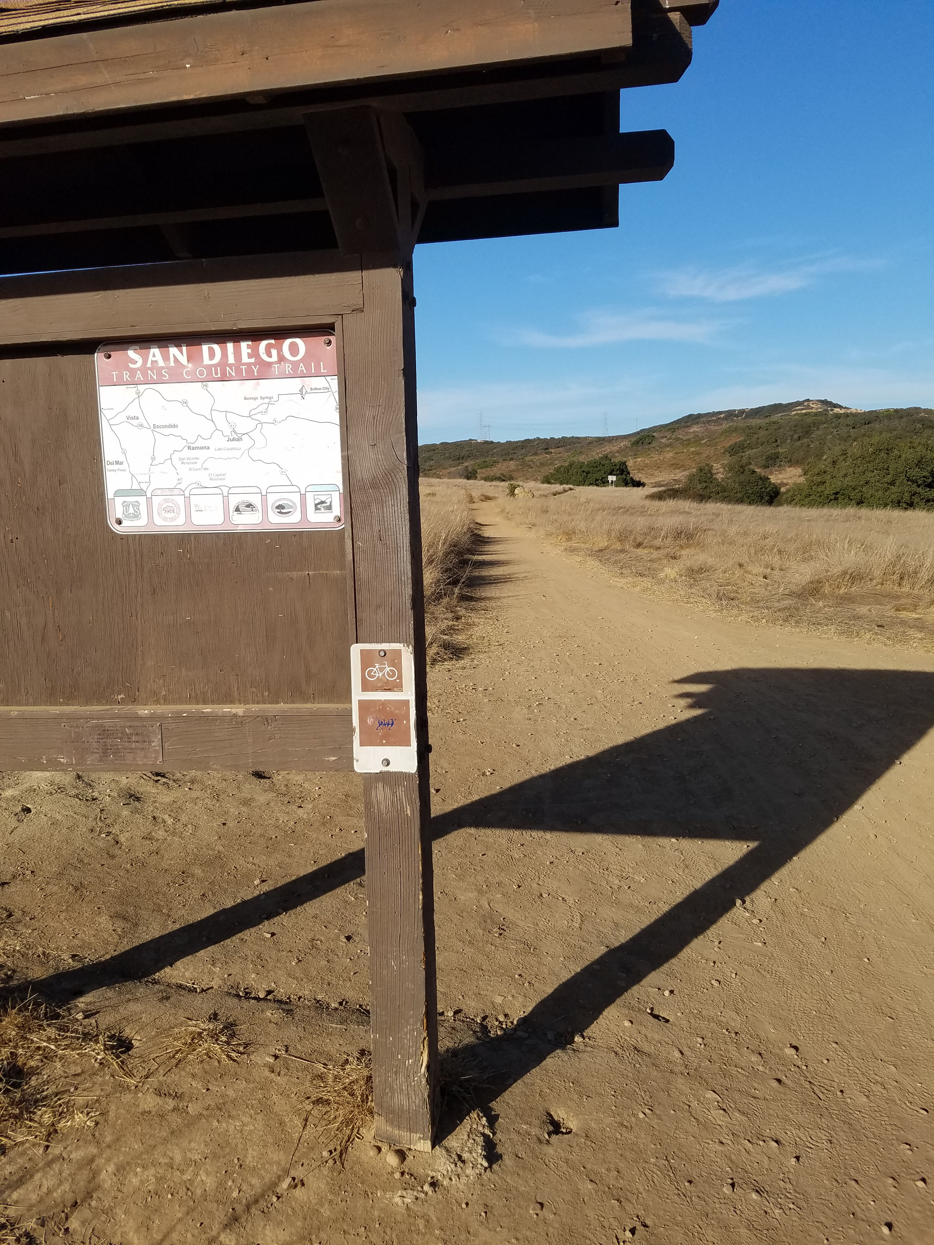
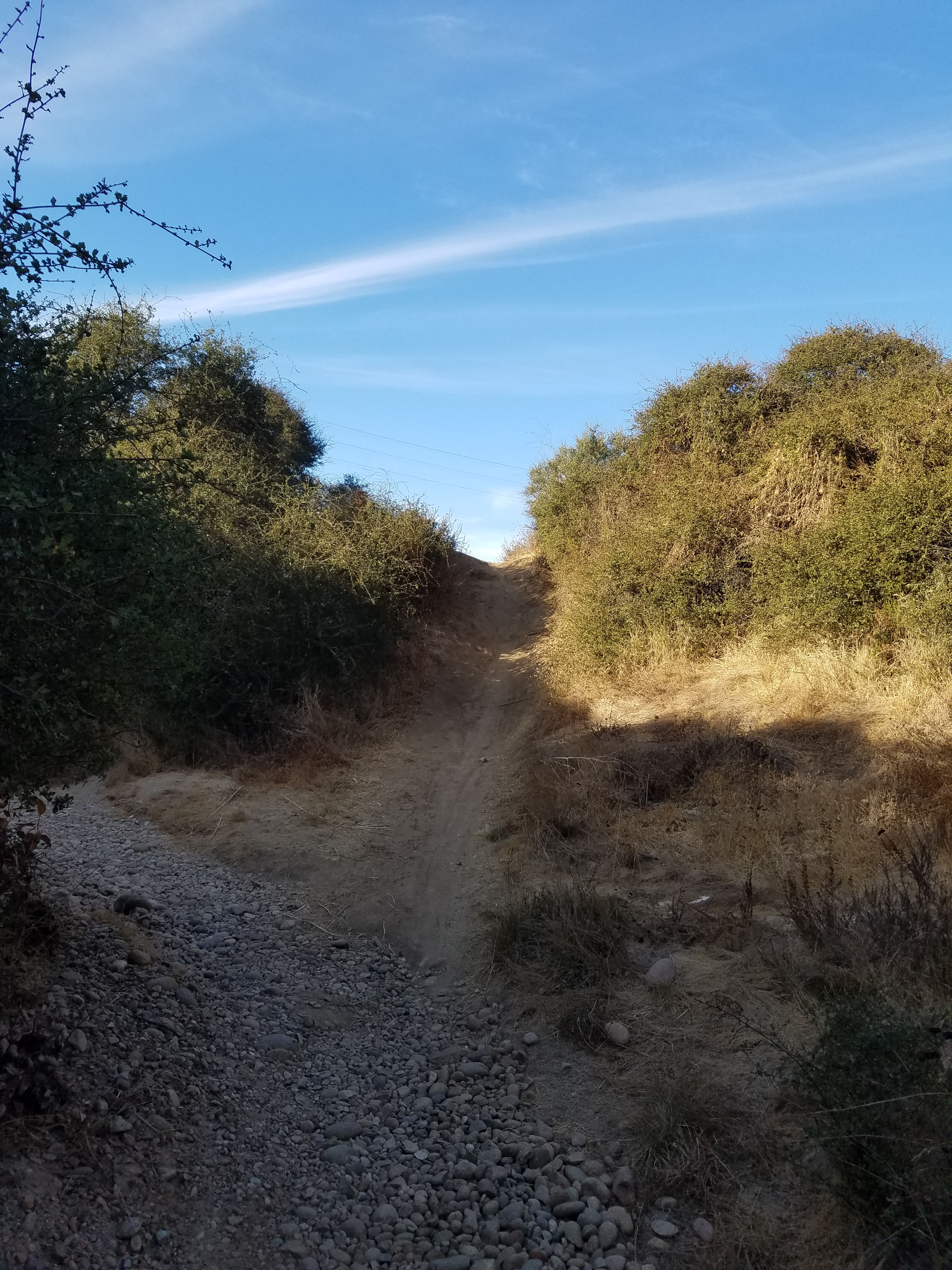
This trail heads up to a new area formally called Del Mar Mesa Preserve. This is a popular area for mountain bikers so you need to be careful on this portion of the trail as it can get quite narrow. It is about a one-mile hike uphill to a 4-way intersection of trails.
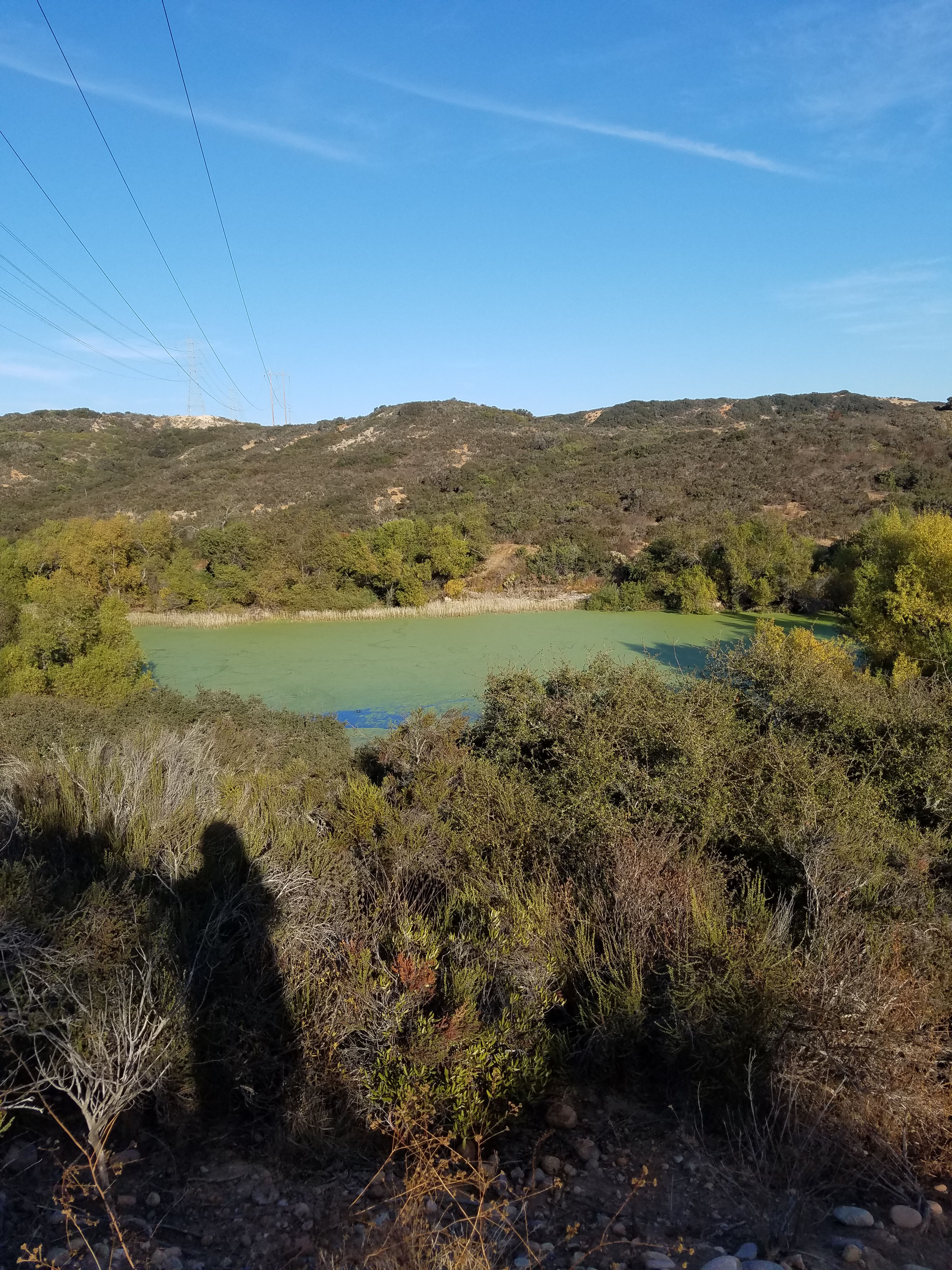
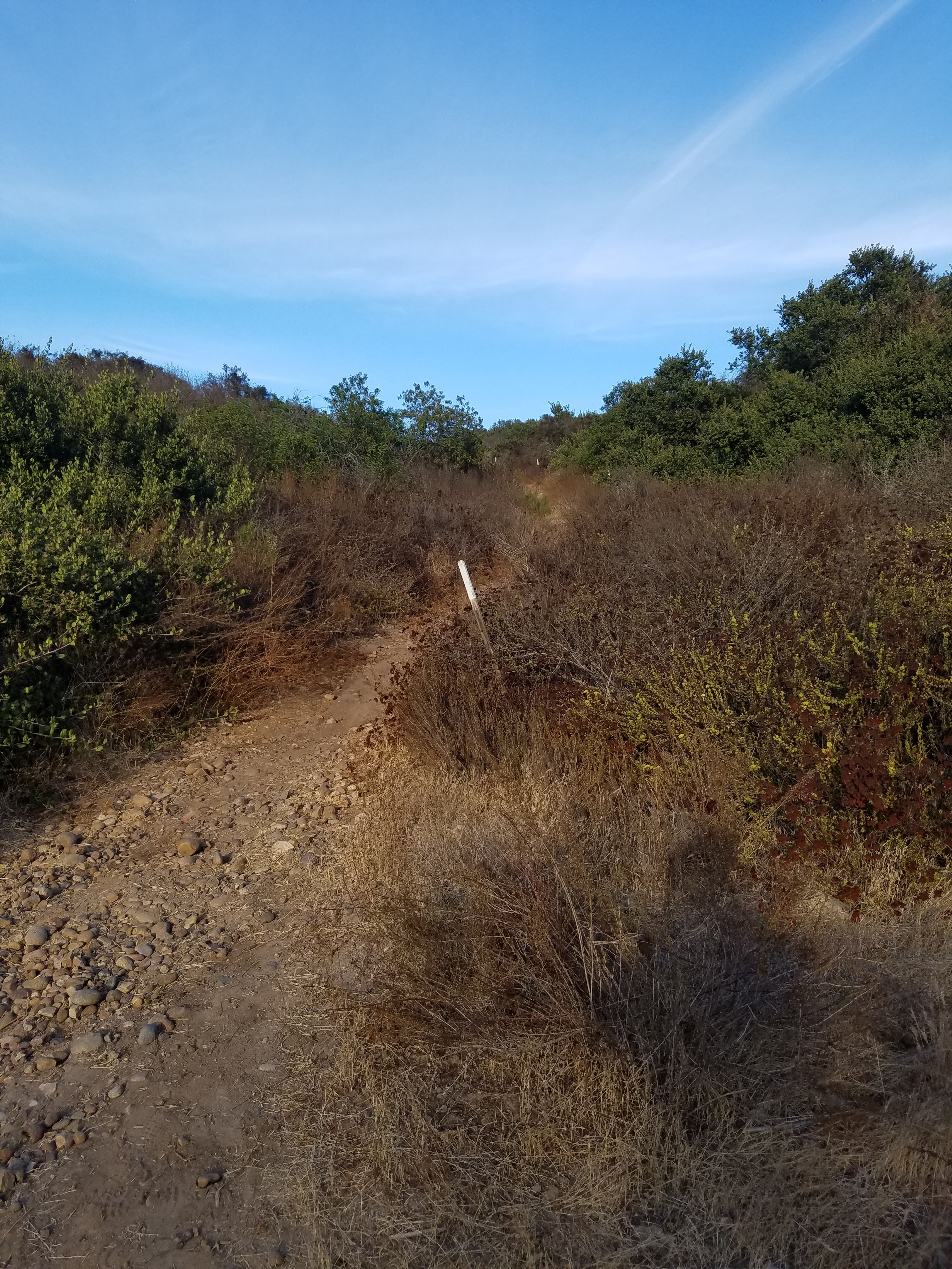
You will want to turn left and head up the hill towards the powerline. The powerline in the background of Jagger’s picture was actually how I knew where to go. At the 4-way trail, there is also a murky pond of water (at least when I went).
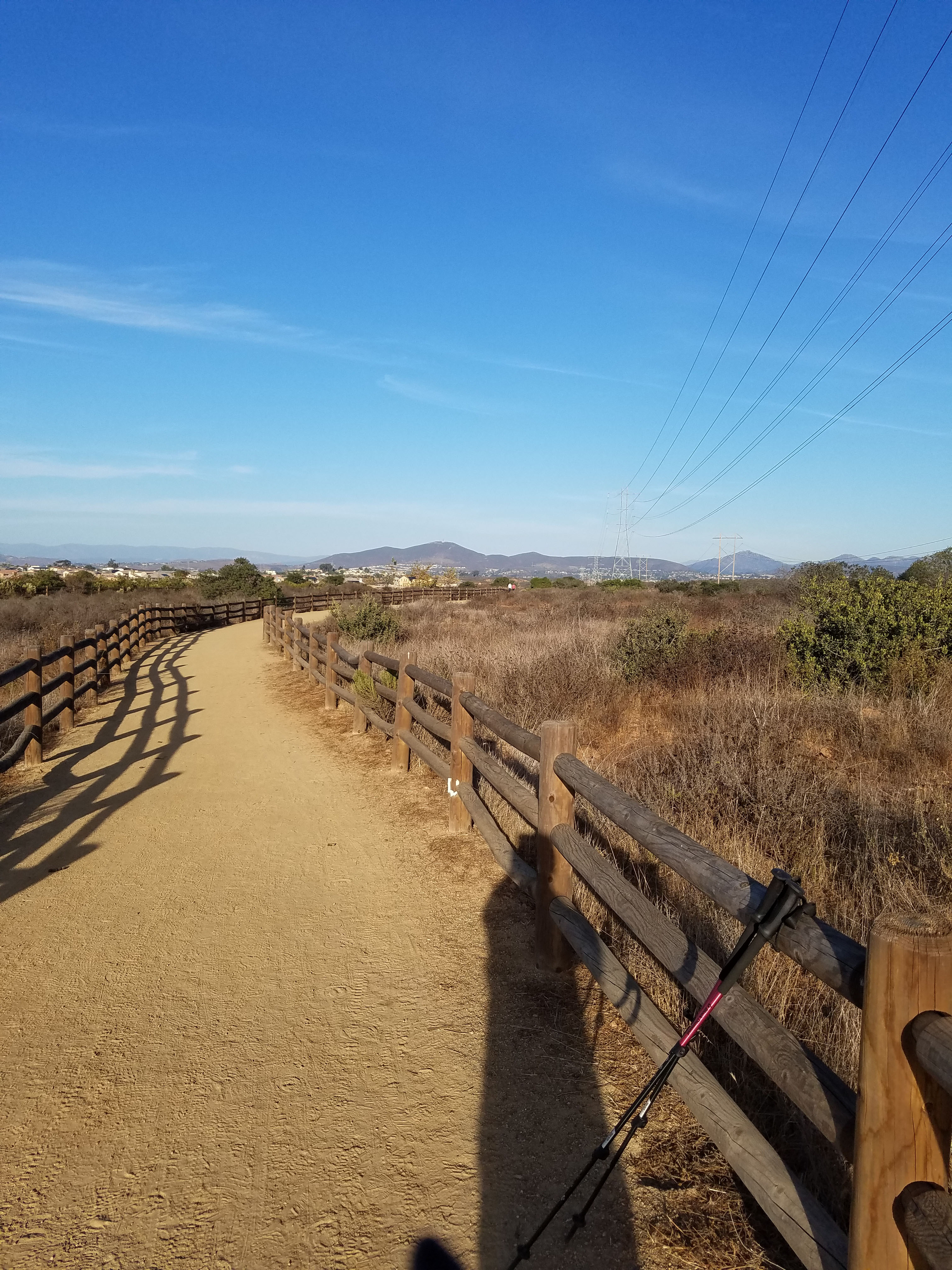
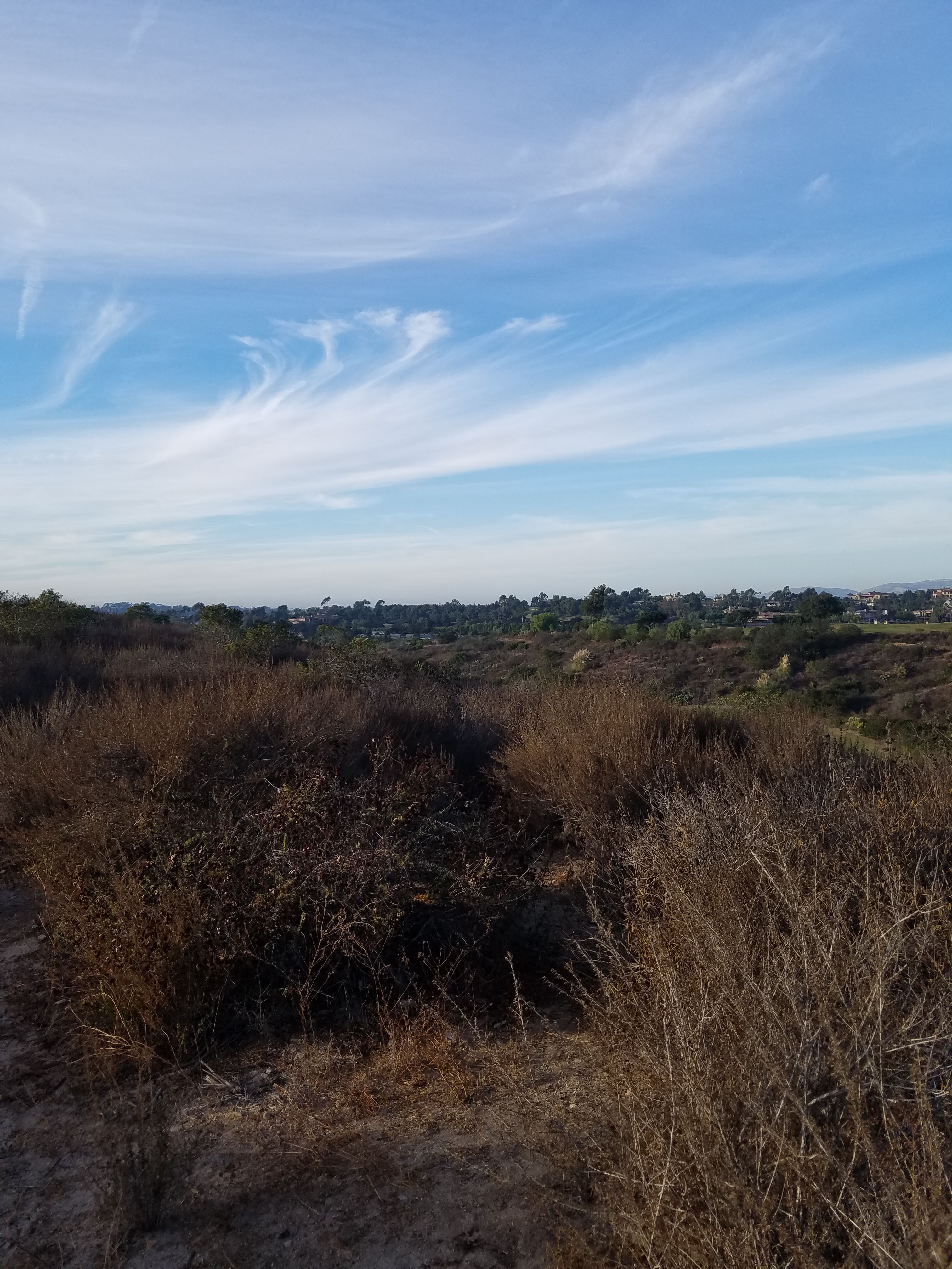
You climb the hill to the powerline tower. The trail goes around the tower and then loops around some new housing developments. Finally, it meets up with Carmel Mountain Rd. Turn left as the trail follows Carmel Mountain Rd to the west. The exact spot where Mick Jagger took his picture on the fence is about a half mile down.

The picture was taken right before you reach another power line tower. The best way to tell the exact spot is by the white mark at the foot of the fence. It was still there when I went. Of course, you may want to bring along the actual picture for reference. I had it memorized and snapped a photo. I was close, but one picket off.
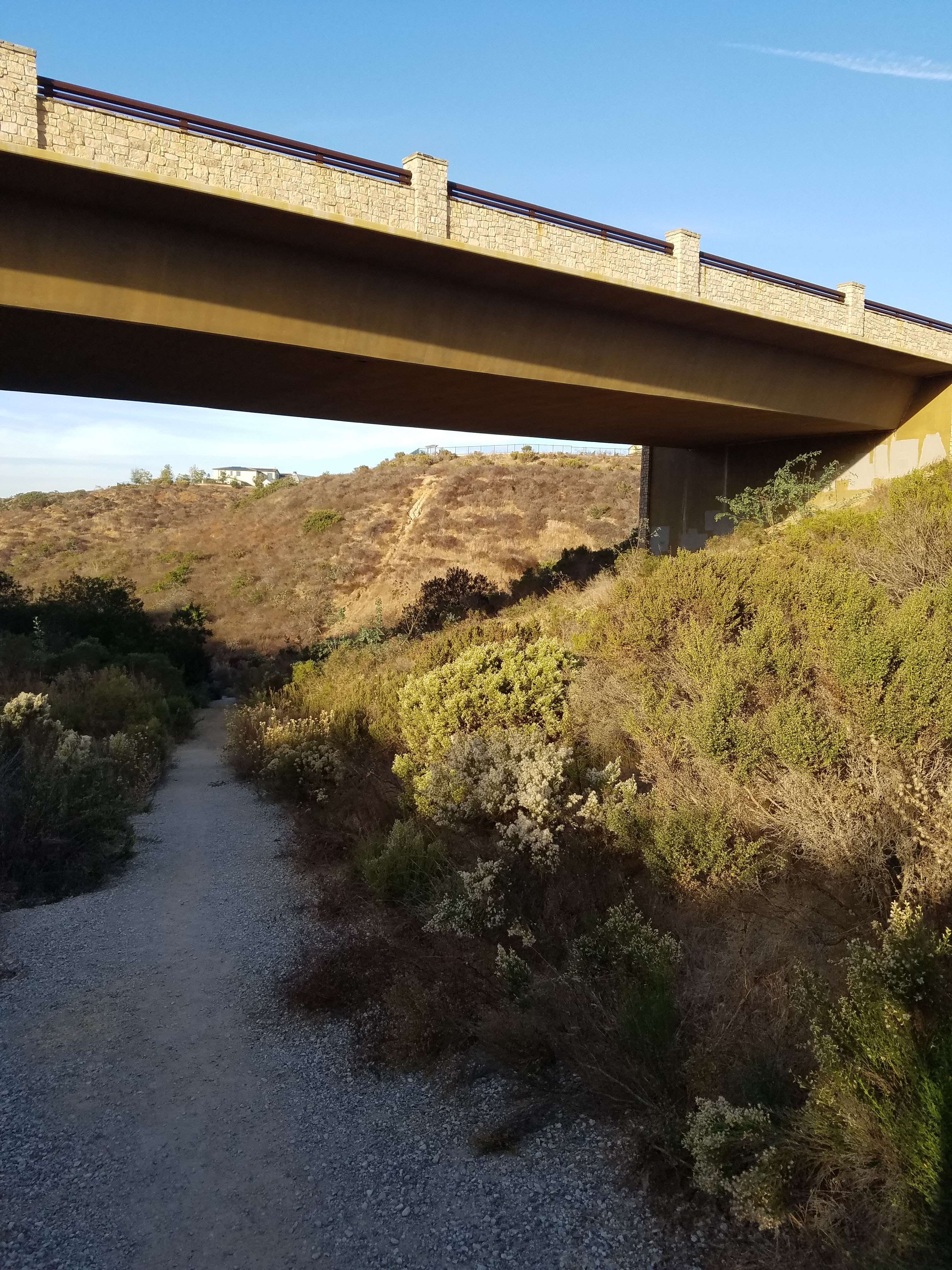
To continue the hike simply follow the trail a short distance until it goes down and heads to the right, under Carmel Mountain Rd. It was under this bridge where the second picture of Mick Jagger was taken.
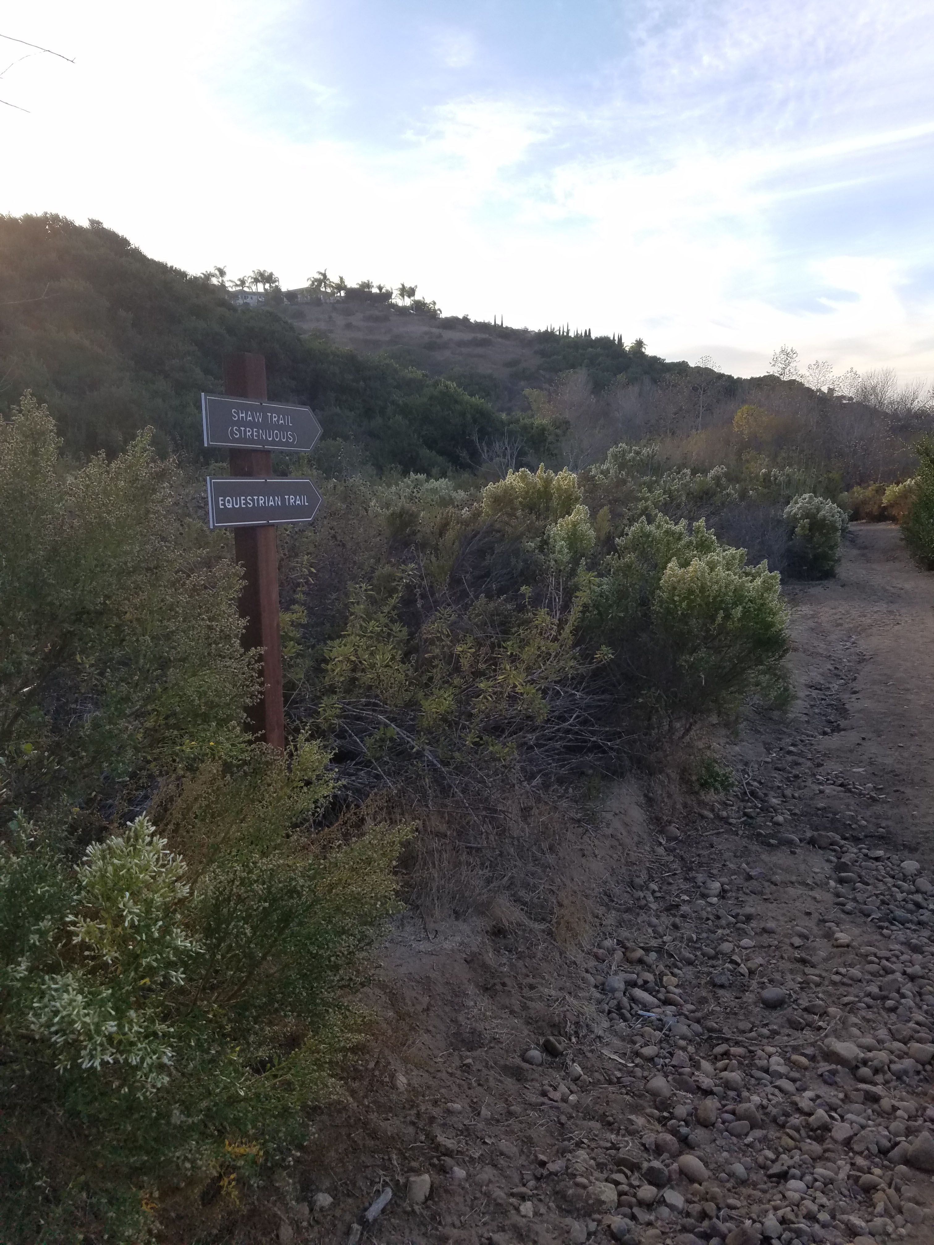
This trail is called the Shaw Valley Trail. It eventually meets up with the Fairmount Grand but after some exploration I took a more direct route. About a half mile down Shaw Valley trail I took a right on a trail by a sign that indicated Shaw Valley Trail and Equestrian Trail. This trail heads a short distance before ending. I turned left.
Welcome to the Fairmont Grand Del Mar
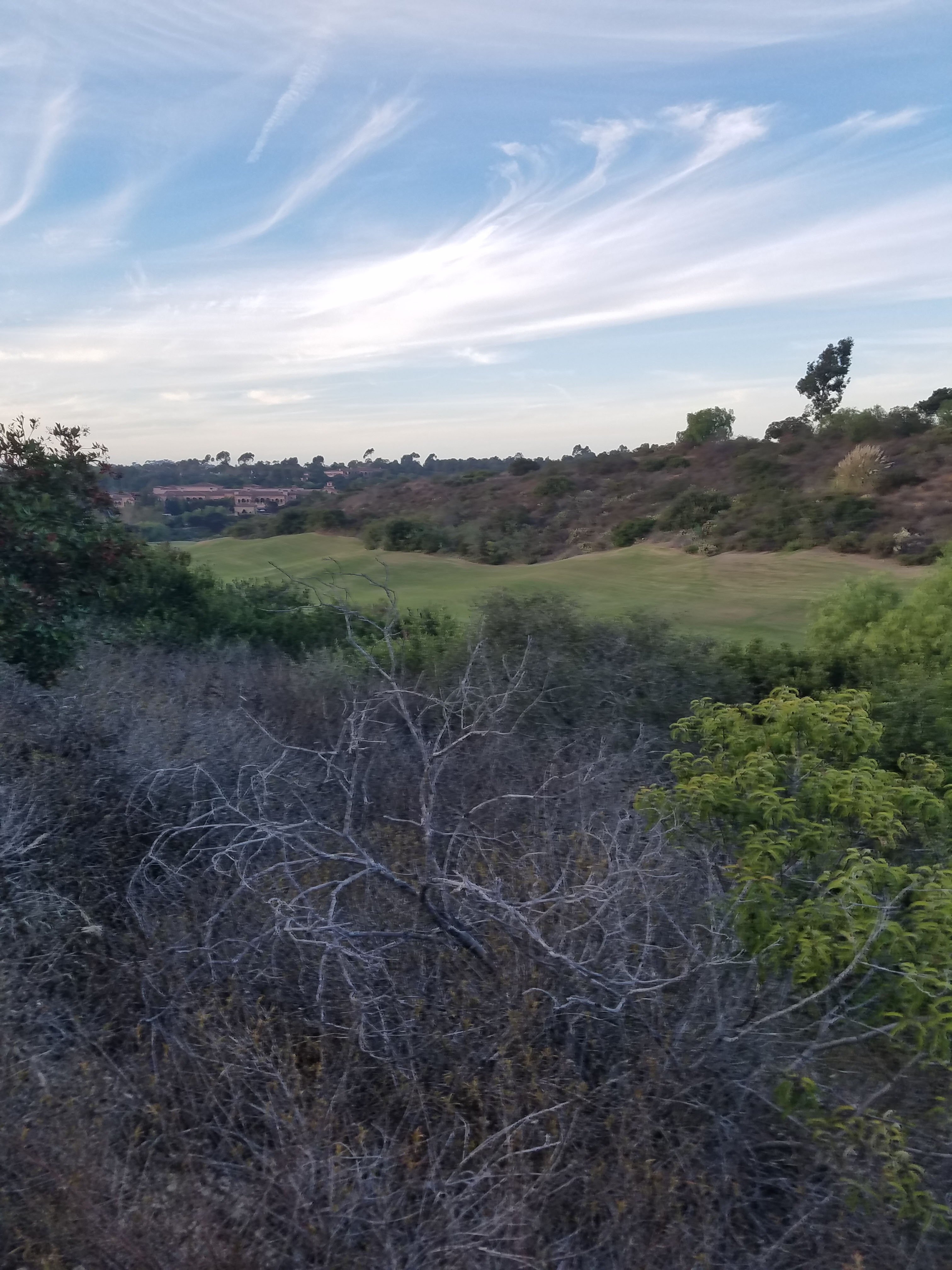
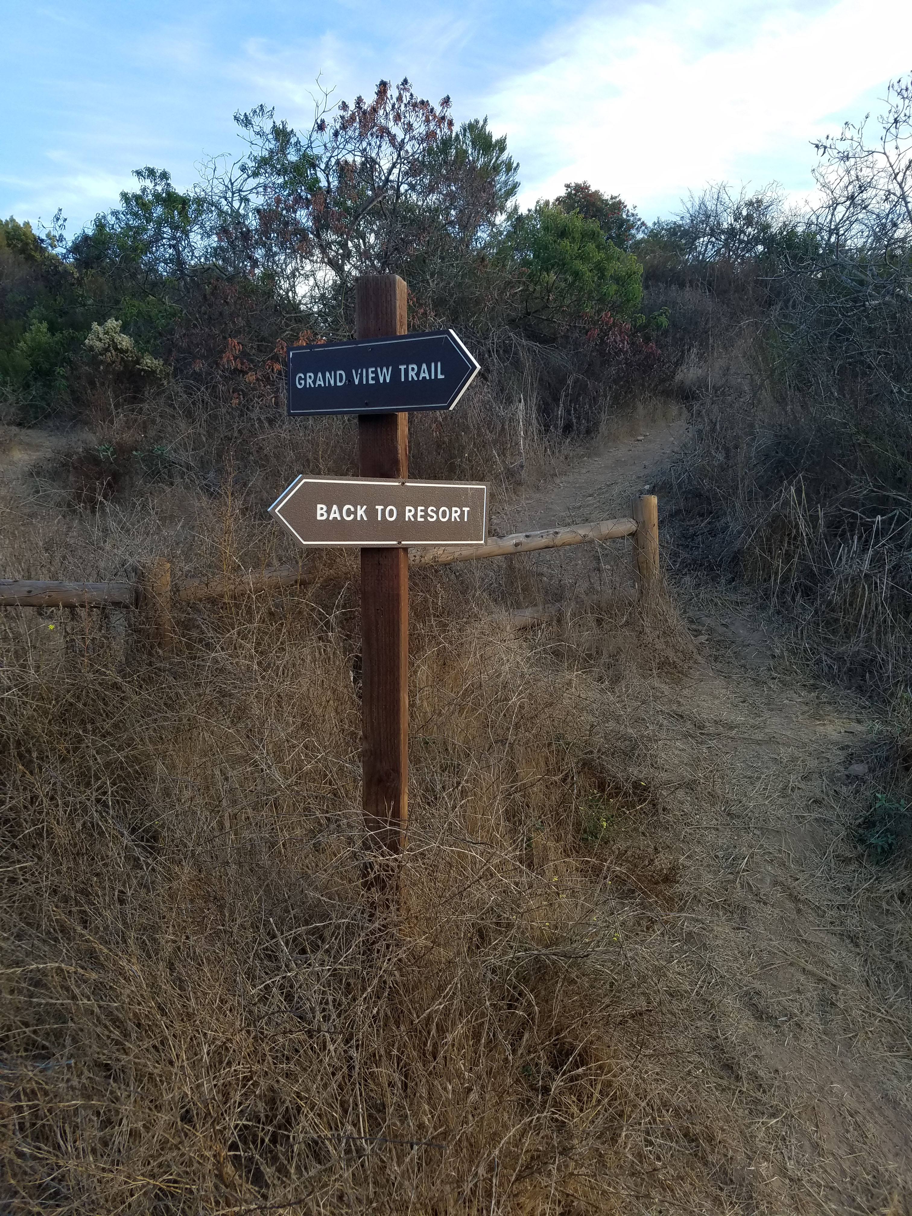
At this point you will start to see the golf course at the Fairmont Grand. I think this is called the Grand View Trail. At this point you are headed directly towards the Fairmont Grand. The hotel has graciously put up signs leading guests “back to the resort.”
At the bottom by the golf course, things were a little confusing. It looks like this may be a work in progress. You want to turn left towards the golf course. Follow the trail up a short hill and once again follow signs to the resort.
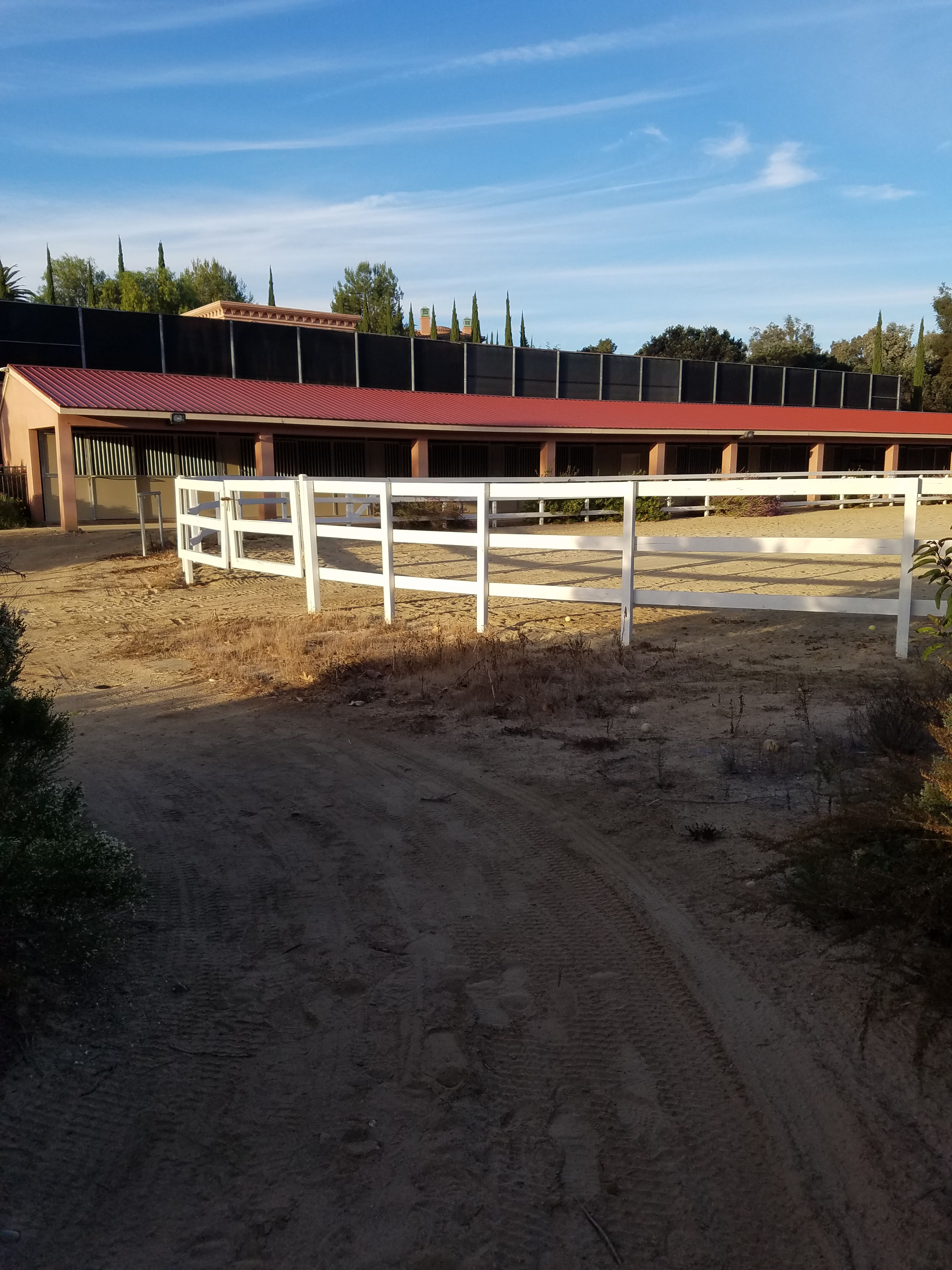
You will enter the resort proper in the back by the equestrian center. You want to turn right and go to the end of equestrian building where the path climbs to the resort parking lot. This resort is one of the nicest in the country.
As you walk towards the main part of the resort you will notice the huge villas. Head towards the main entrance of the resort where you meet up with Grand Del Mar Ct. until it becomes Grand Del Mar Way. If you are hungry you can stop at Addison’s. This is not only one of the best restaurants in San Diego, it is one of the best in the country. Wine Enthusiast magazine put their wine list on their top 100 list.
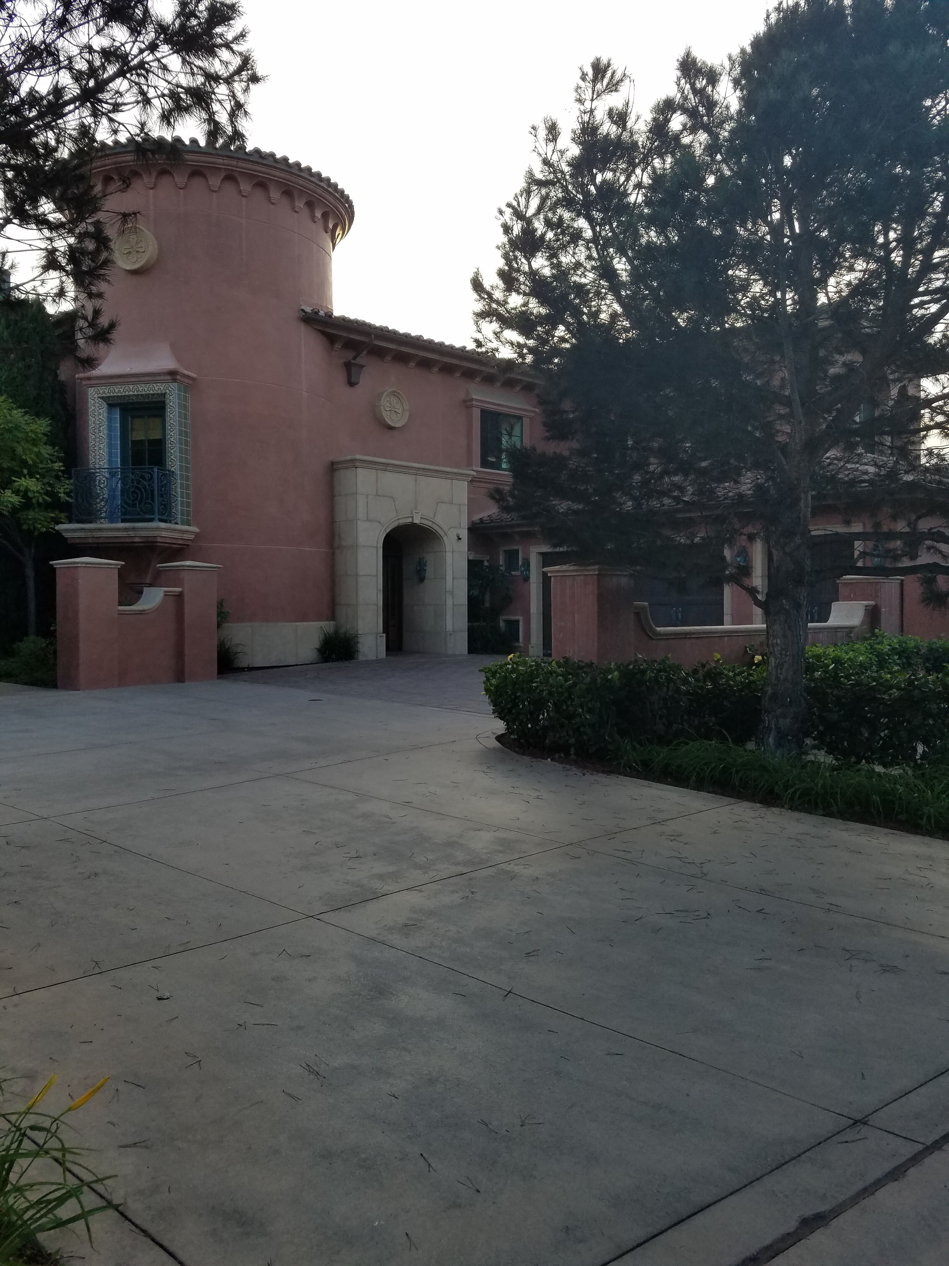
The Fairmont Grand was rated by TripAdvisor as the number one luxury hotel in the U.S. in 2014 (at this writing it is #13). Forbes magazine gave both the hotel and Addison’s restaurant a coveted 5-star rating. In other words this place is fancy!
Check prices for the Fairmont Grand here.
I headed out of the resort via Grand Del Mar Way. They don’t like you walking on the road, but there is a path along the golf course that follows the road. I met my ride by the entrance to the resort where it meets with Carmel Country Road.
So that is my journey on the Rolling Stone trail. Obviously, you can do a much shorter hike by starting near the resort. This is a new area and many trails are still being built. I plan to do some major hiking in this area so stay tuned.