San Diego Hikes: Oak Canyon Trail Loop Hike
Oak Canyon Trail is one of the best hikes at San Diego’s Mission Trails Regional Park. This hike combines Oak Canyon Trail with some other trails in the park to create a 3.6 mile loop.
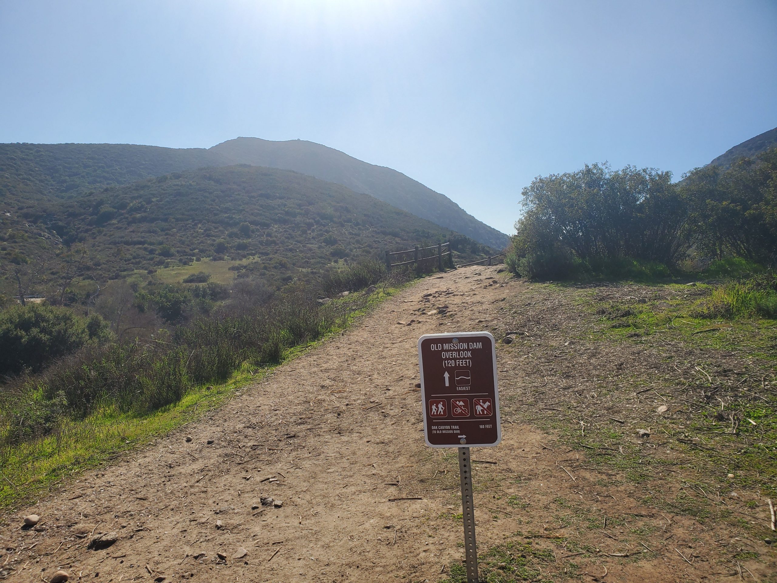
- Starting Point: Old Mission Dam, Mission Trails Regional Park
- Length: 3.6 miles
- Elevation: 300 foot gain and loss
- Type: Loop
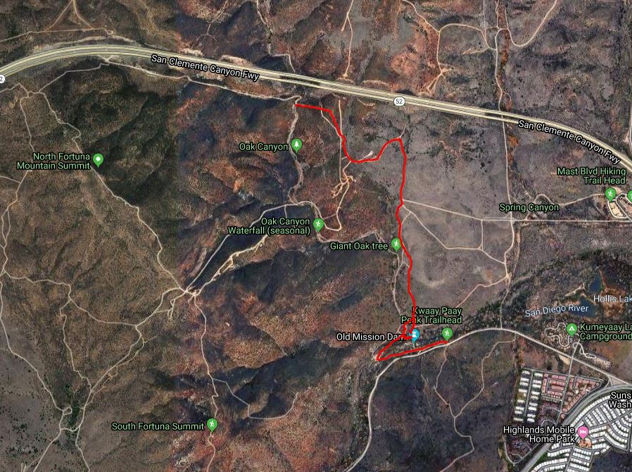
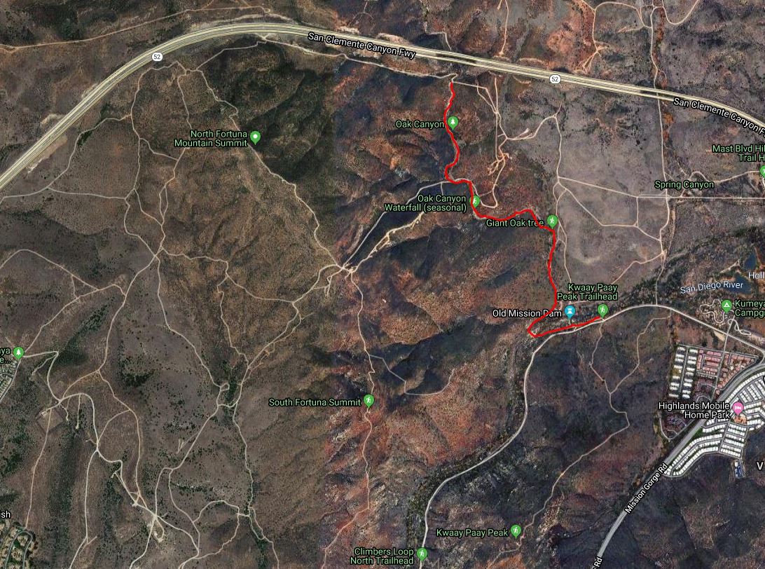
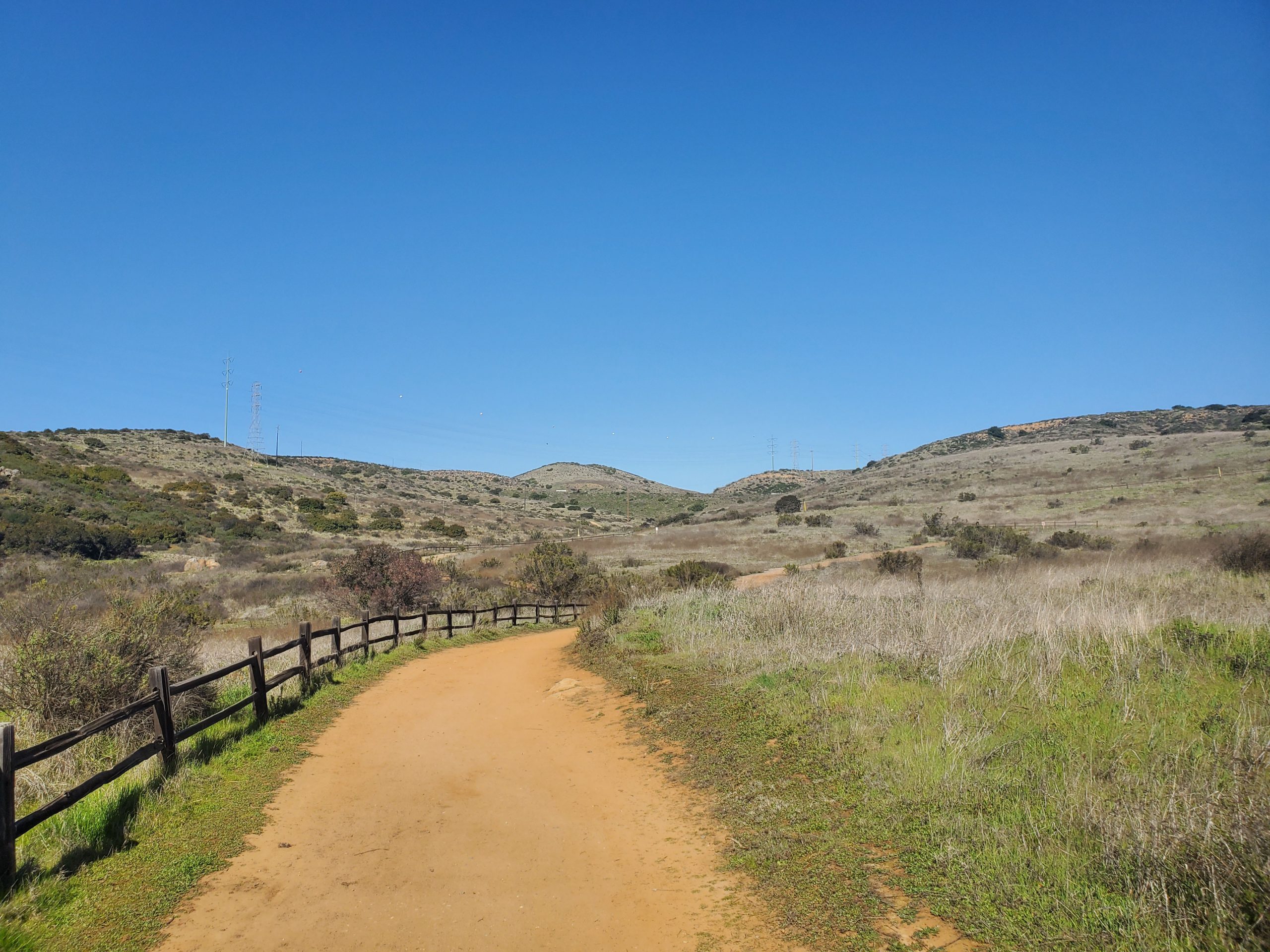
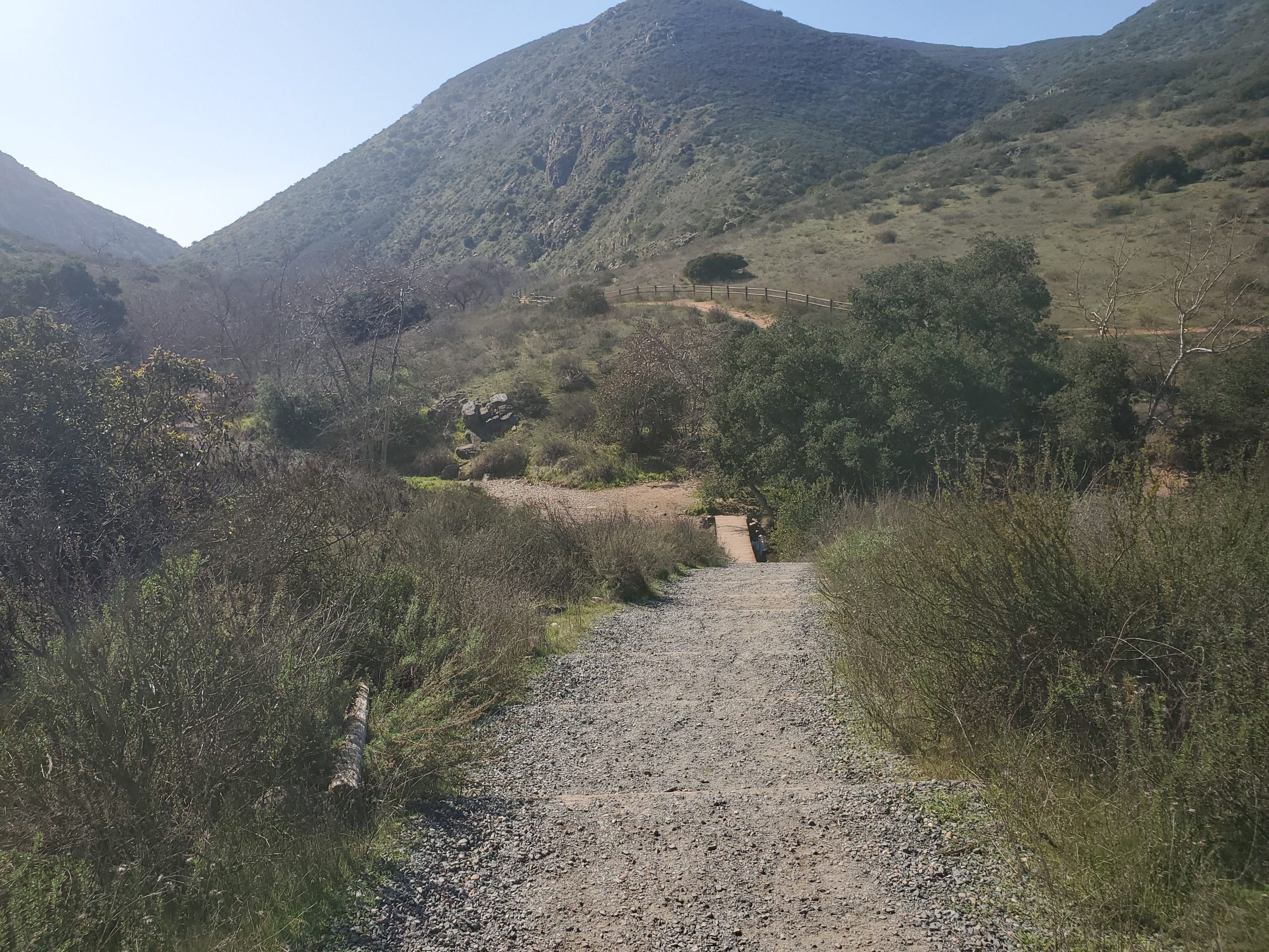
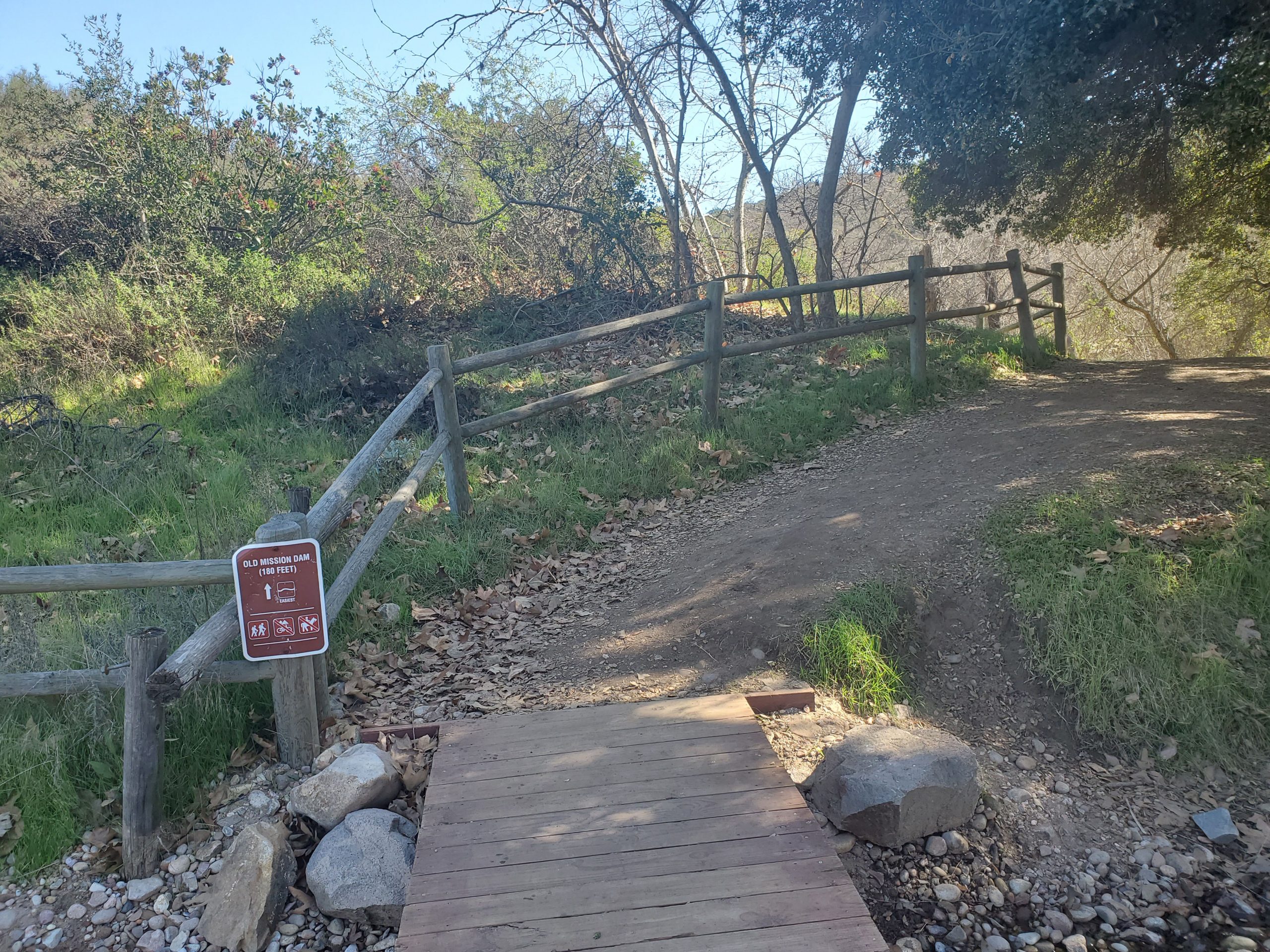
The core Oak Canyon Trail is a 1.7 mile trail that runs from Old Mission Dam to the park’s perimeter at the 52 freeway. You can do this as an out-and-back hike, but our favorite hike is combing Oak Canyon with other trails.
We have a full guide to the Oak Canyon Trail section. This post focuses mainly on the route back at the end of Oak Canyon Trail where it meets the Perimeter Trail.
The first half of this hike follows the full length of the Oak Canyon hike.
In summary:
- There is free parking at Old Mission Dam and also along Father Junipero Serra Trail.
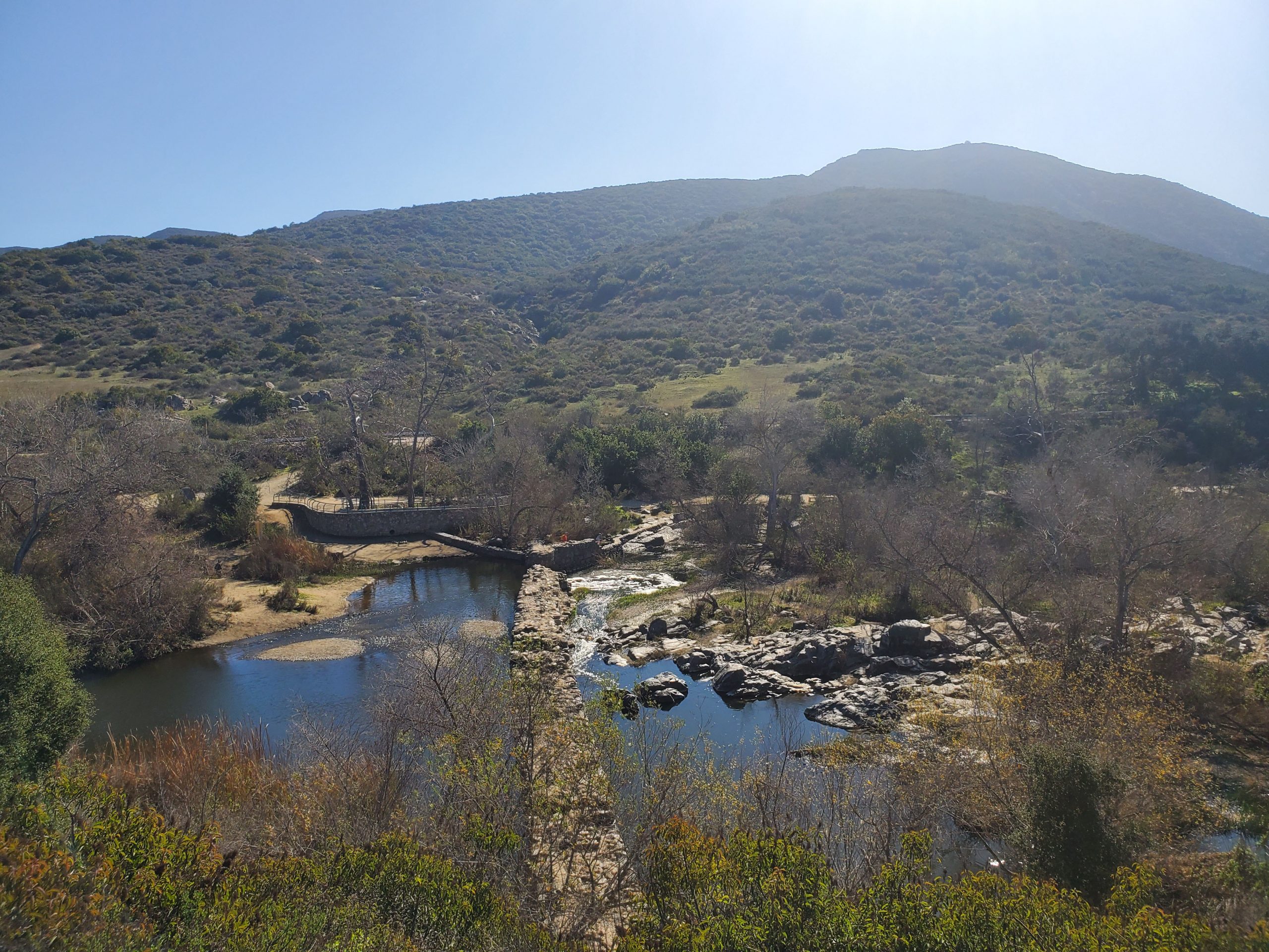
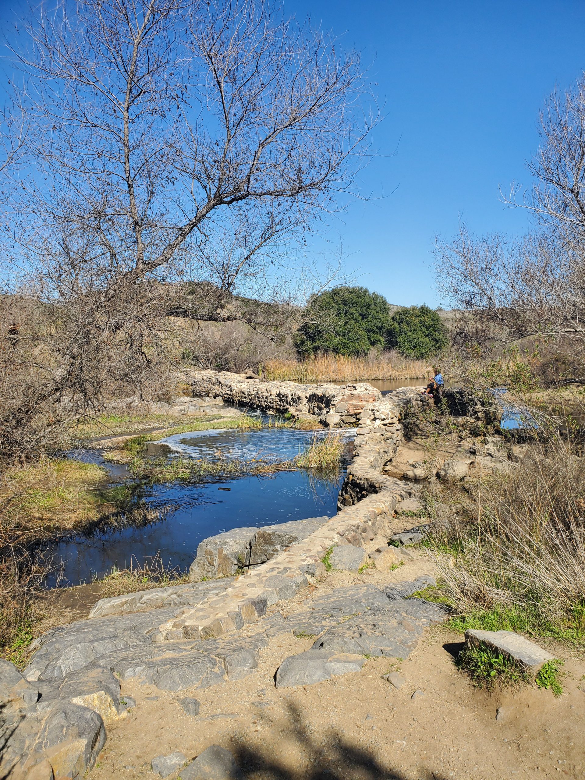
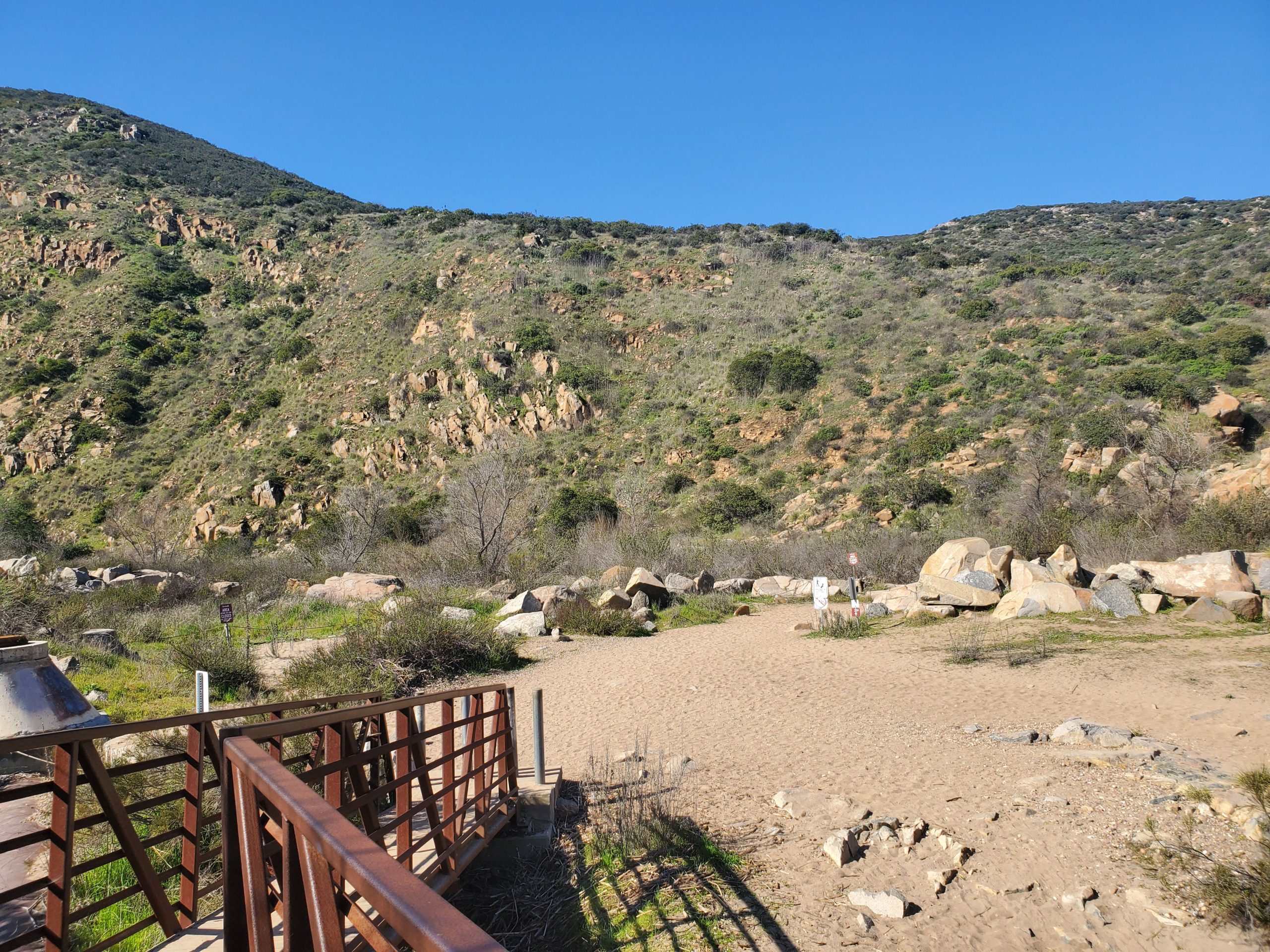
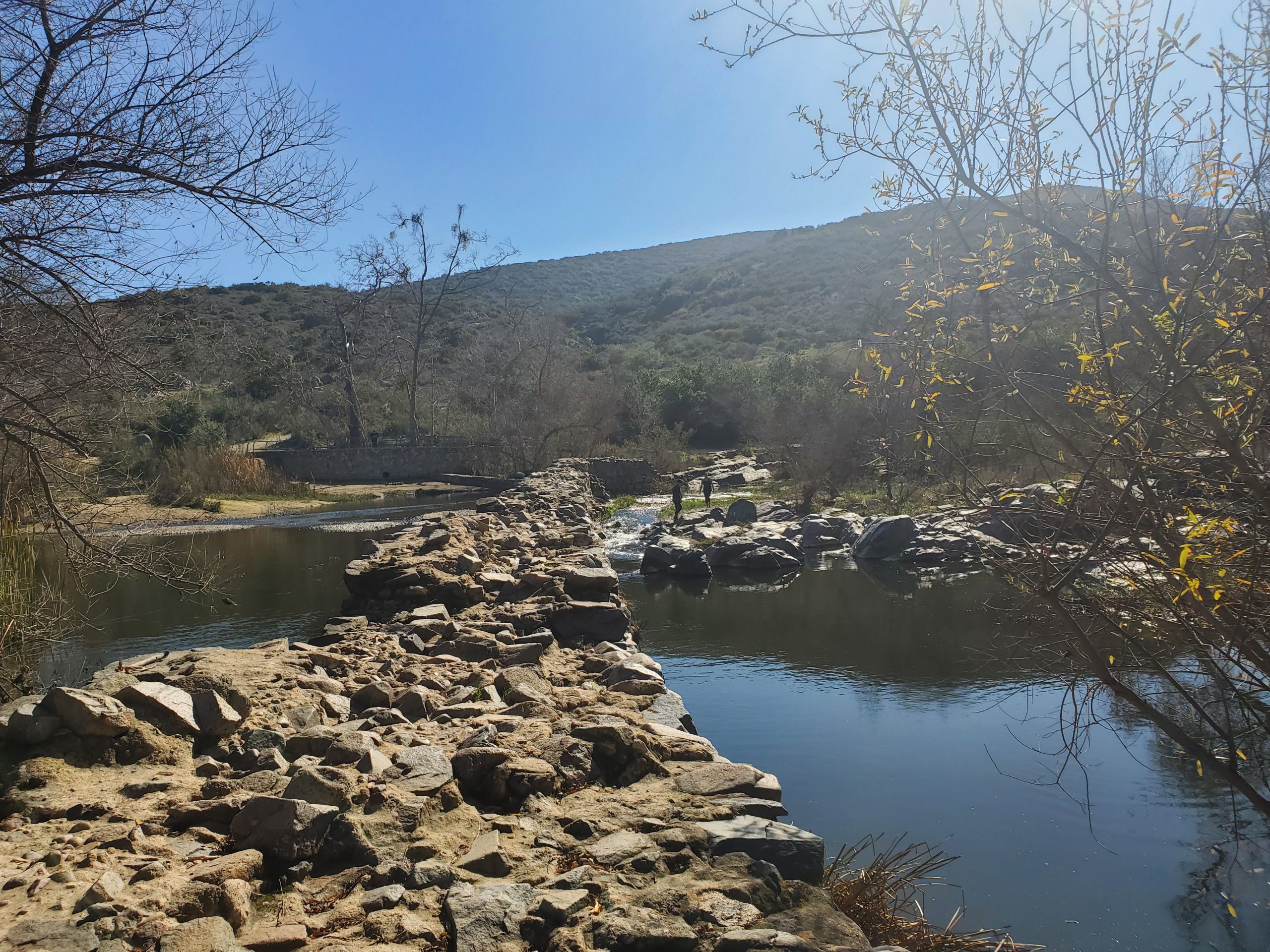
- The trail crosses the San Diego River just southwest of the dam.
- Oak Canyon Trail follows a stream 1.7 miles until it ends at Perimeter Trail by the 52 freeway
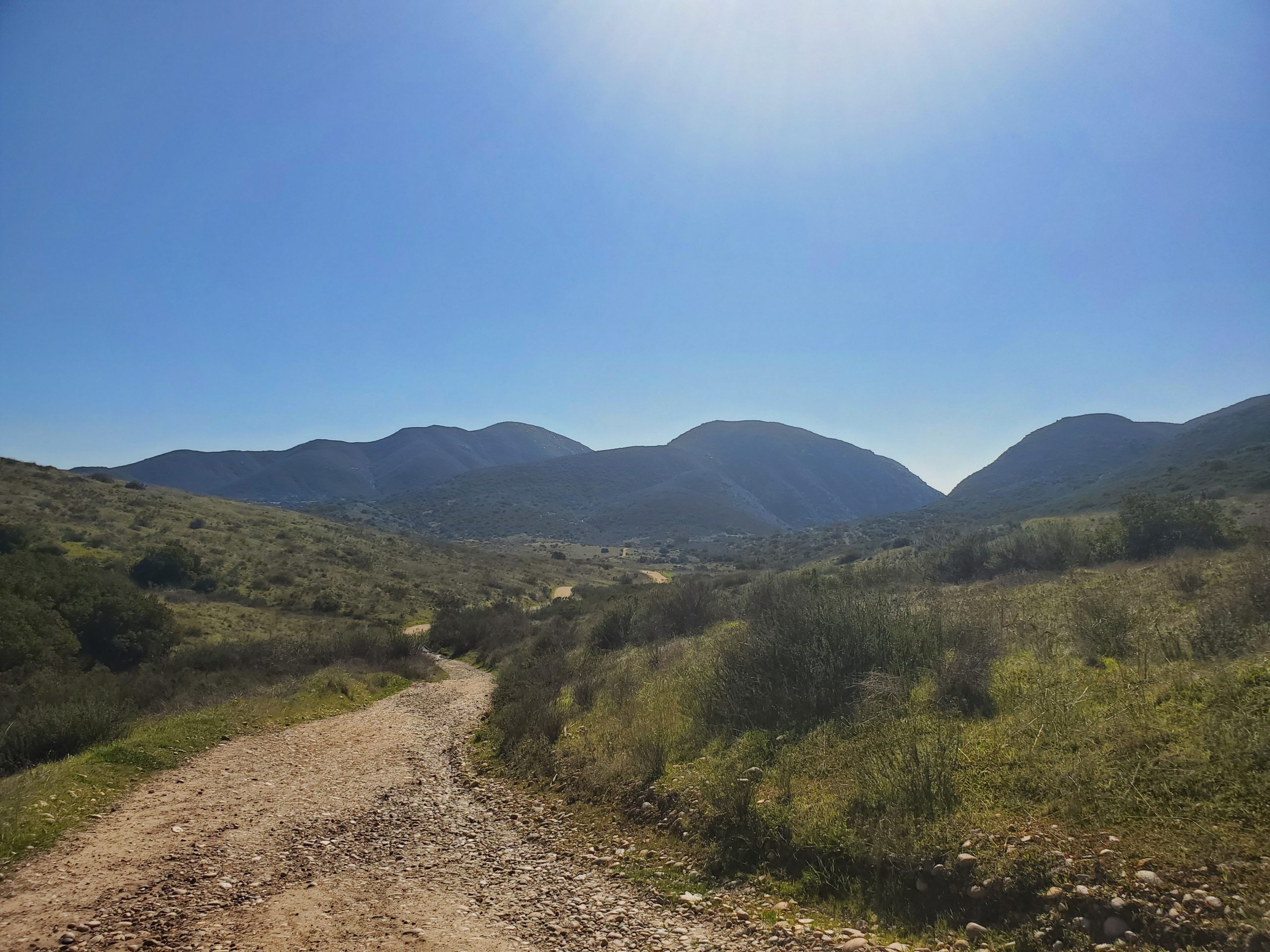
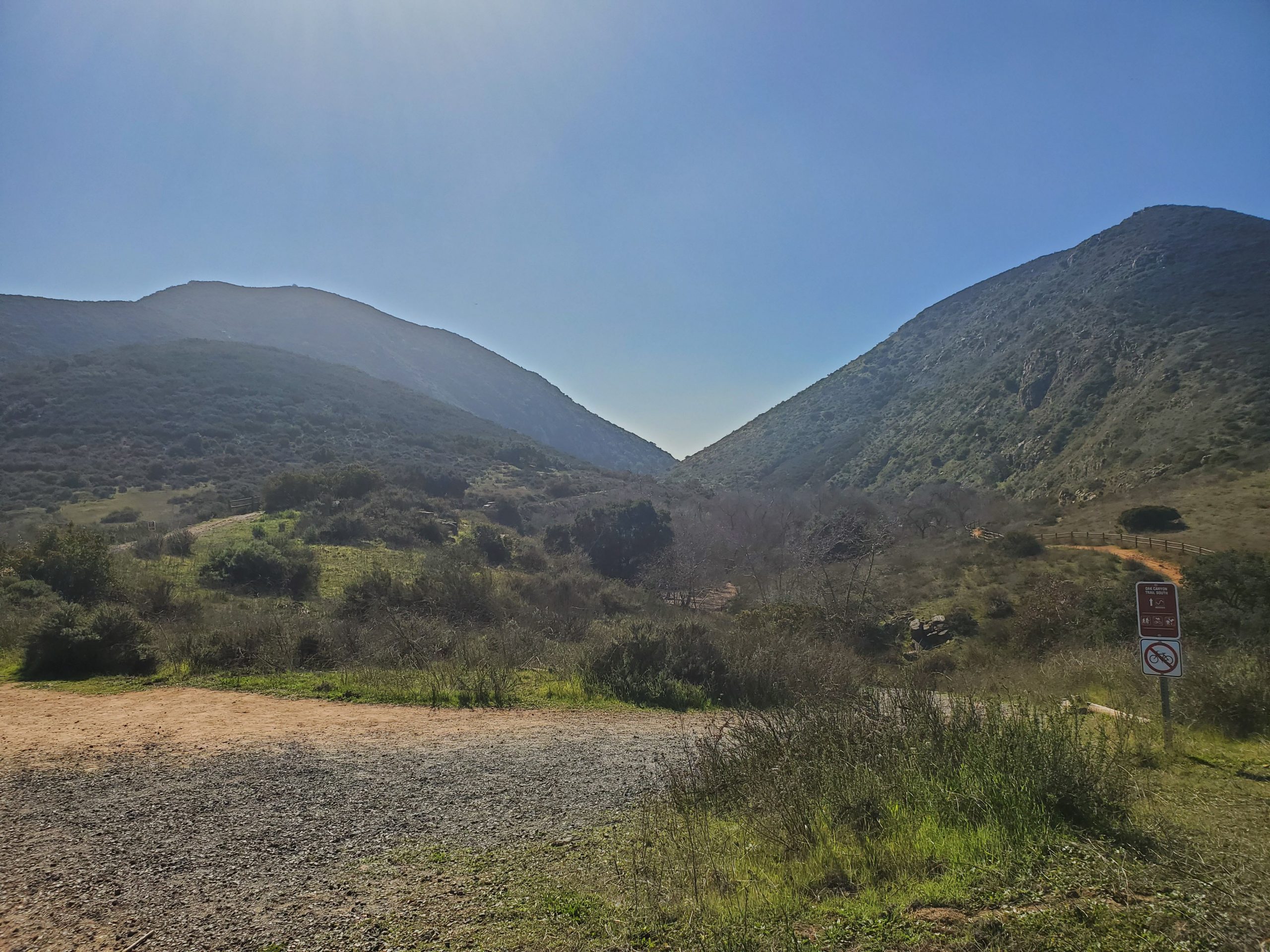
At the end of Oak Canyon you will be looking up directly at the freeway bridge over the canyon (Oak Canyon Bridge). You will make an immediate right onto Perimeter Trail.
Note if you turn left Perimeter Trail will head up North Fortuna mountain. We have a guide to that hike here.
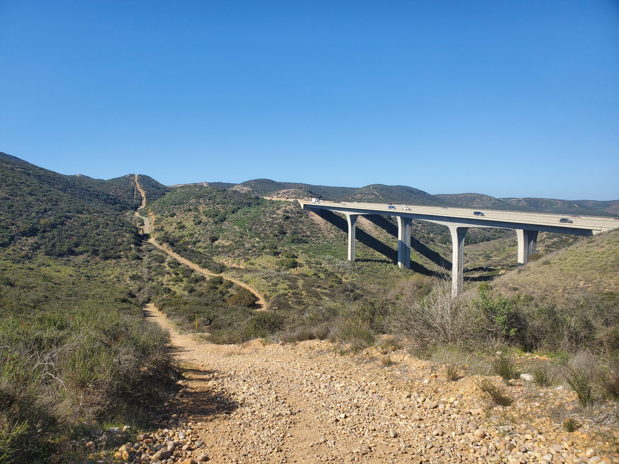
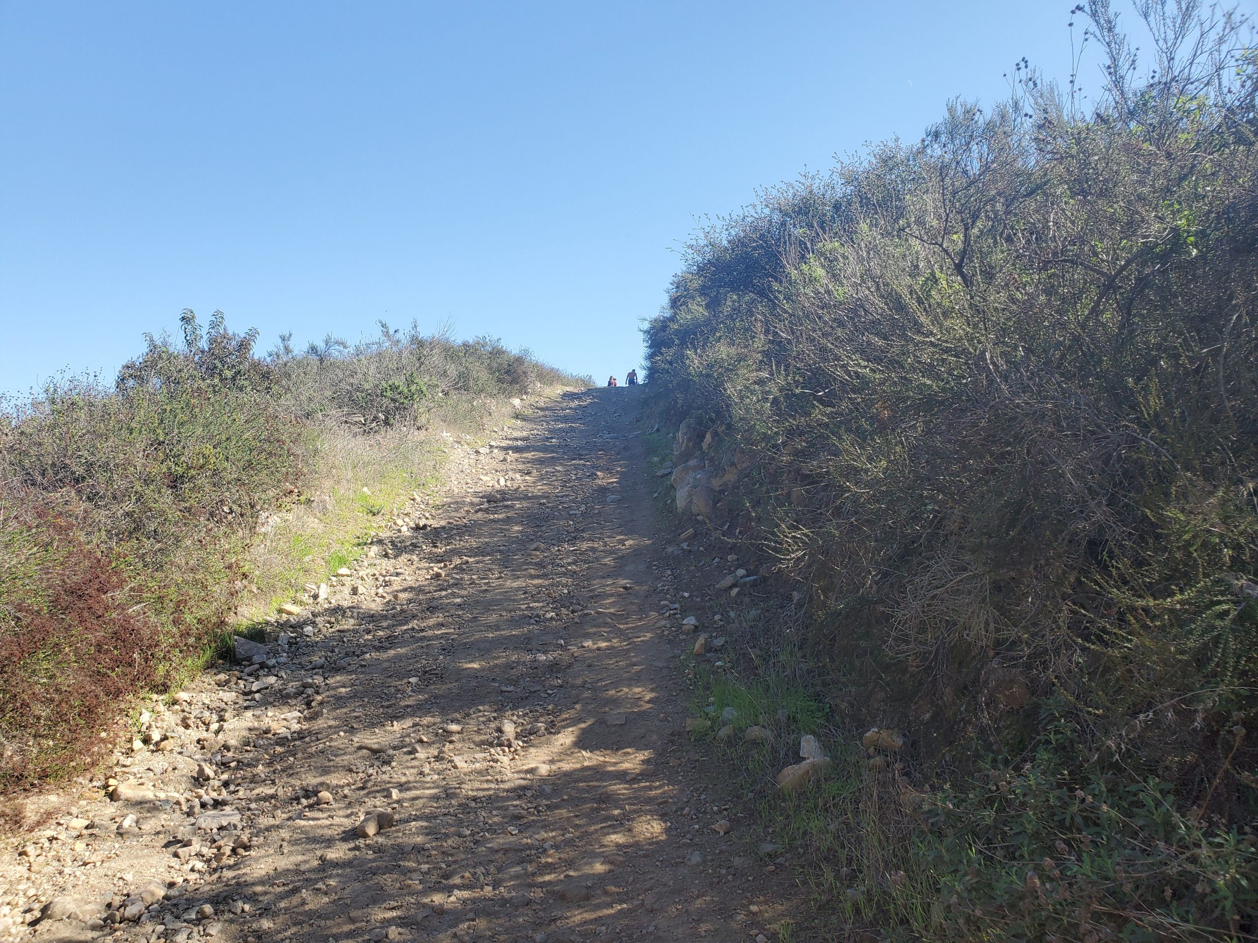
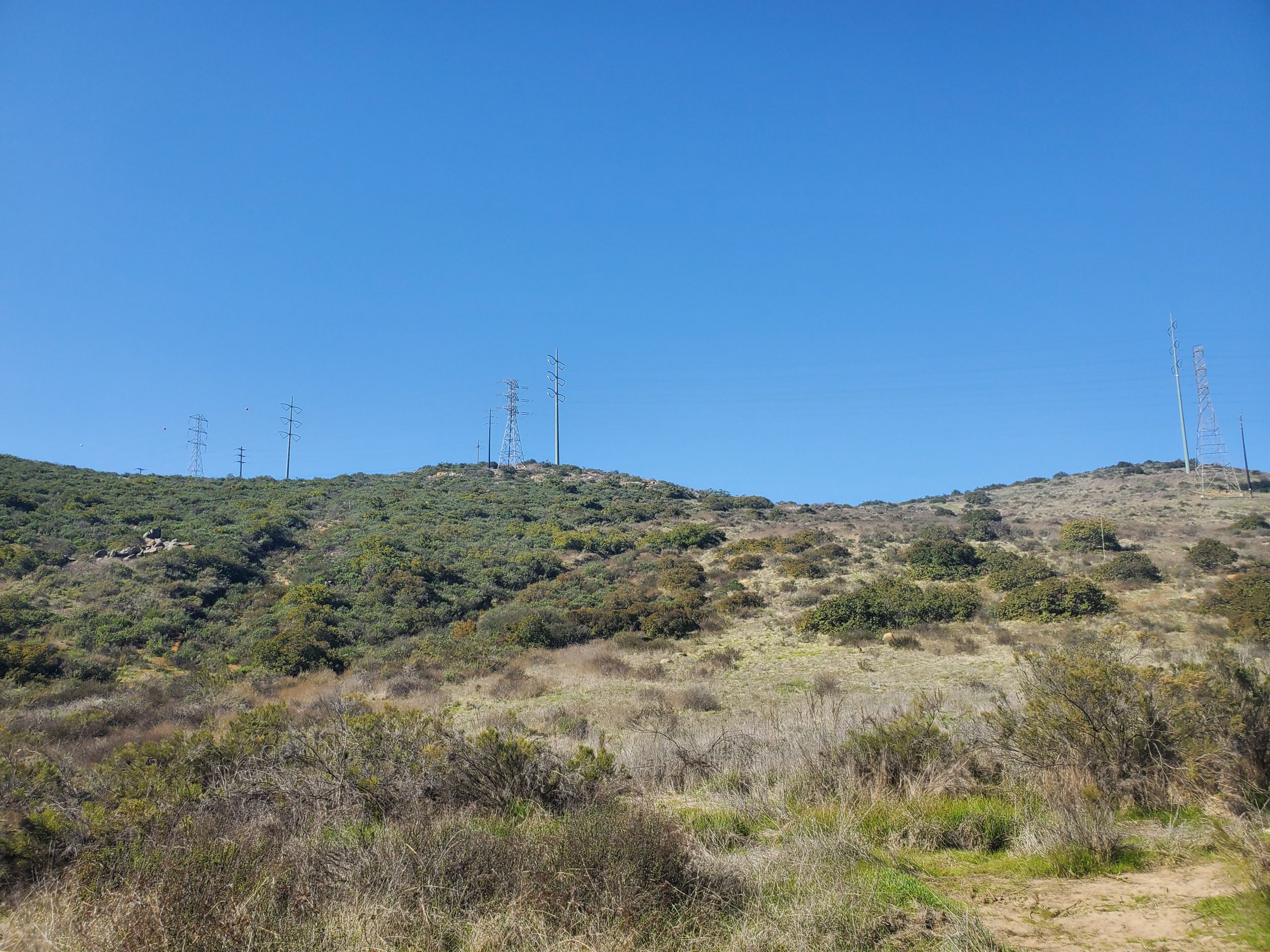
This is a steep uphill climb up a rough dirt service road. This is really the only steep portion of the trail. You climb about 0.2 miles until it flattens at the power line.
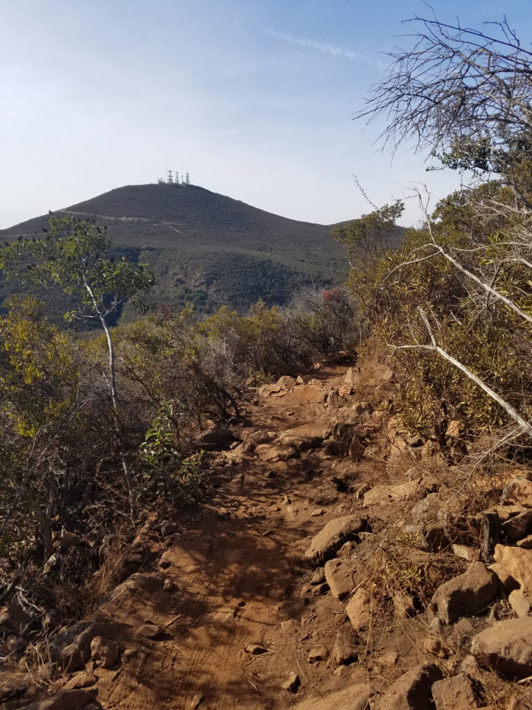
The power line is a major feature of Mission Trails. It cuts straight the park heading southwest towards Fortuna Saddle and the west end of the park at West Fortuna Staging Area.
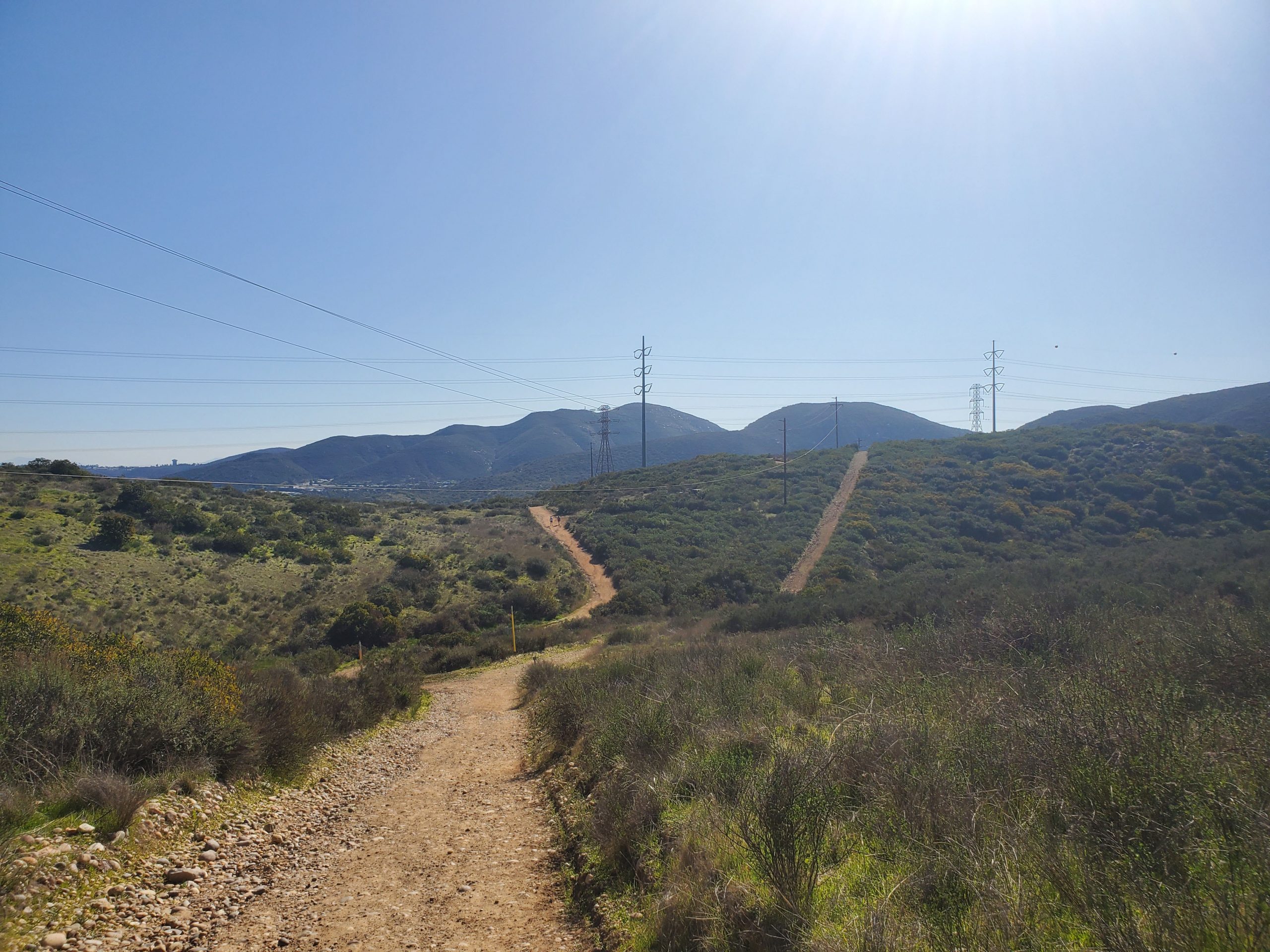
You will go down a short distance and then back up to your left to meet again with the power line. There are two trails you can take, the one to your left is more direct and not as steep. However, both get to the same point on Fortuna Saddle Trail.
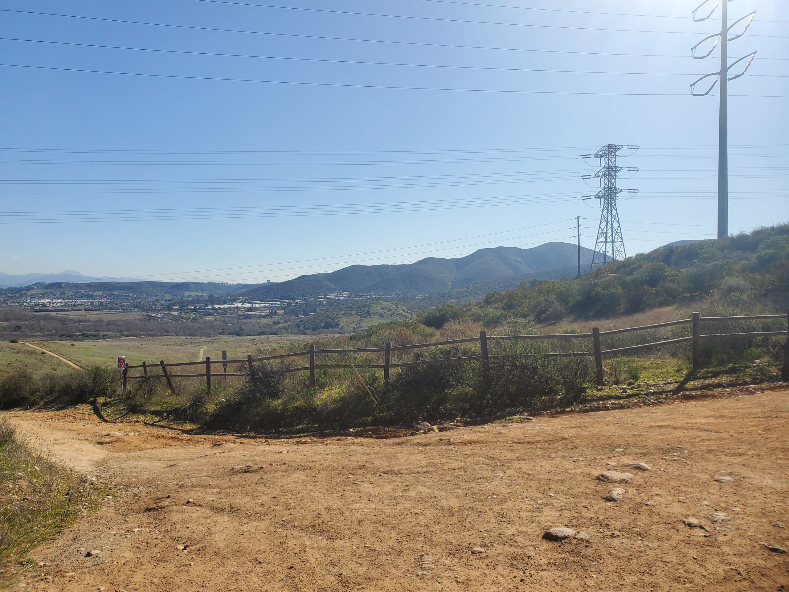
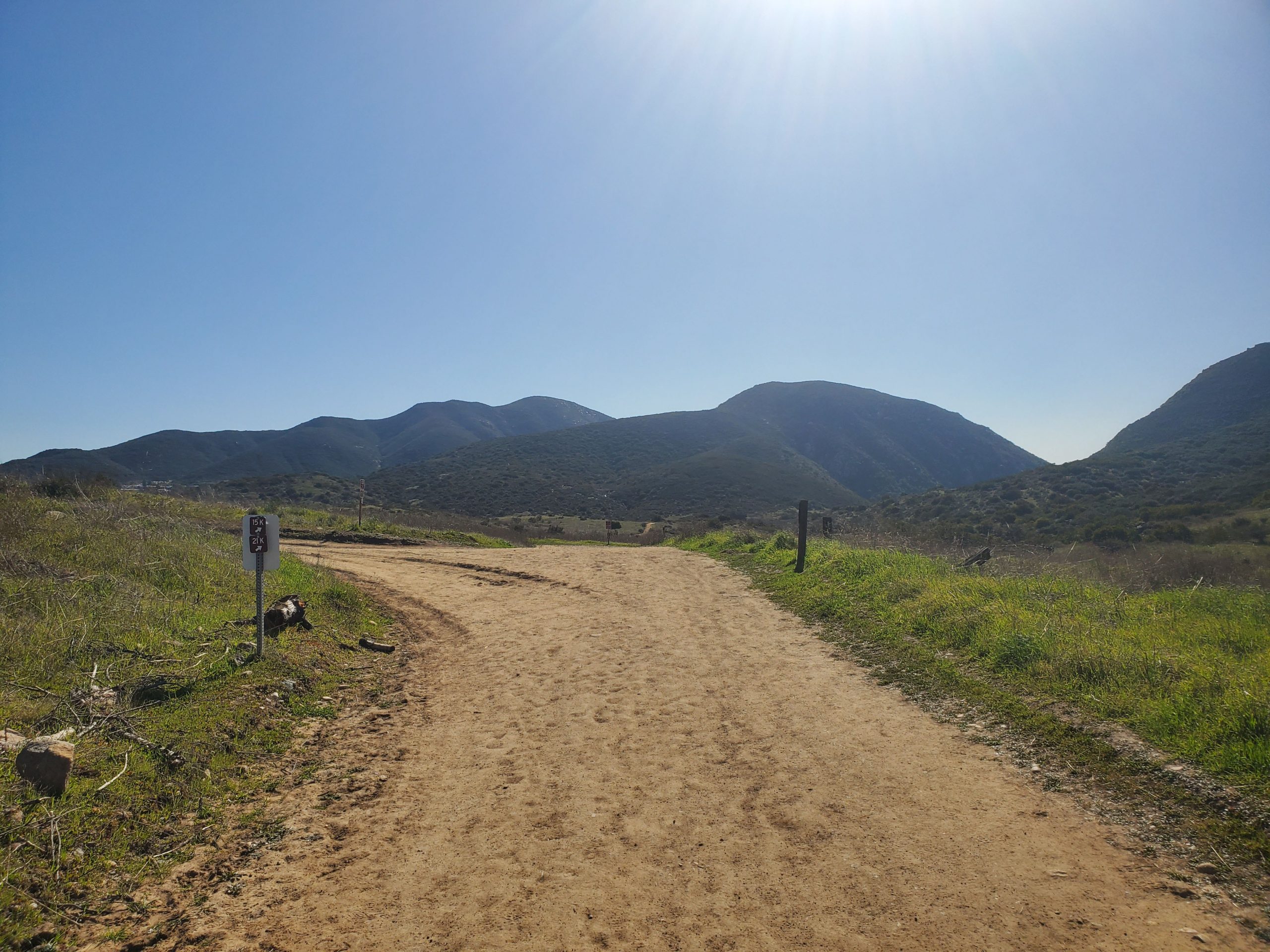
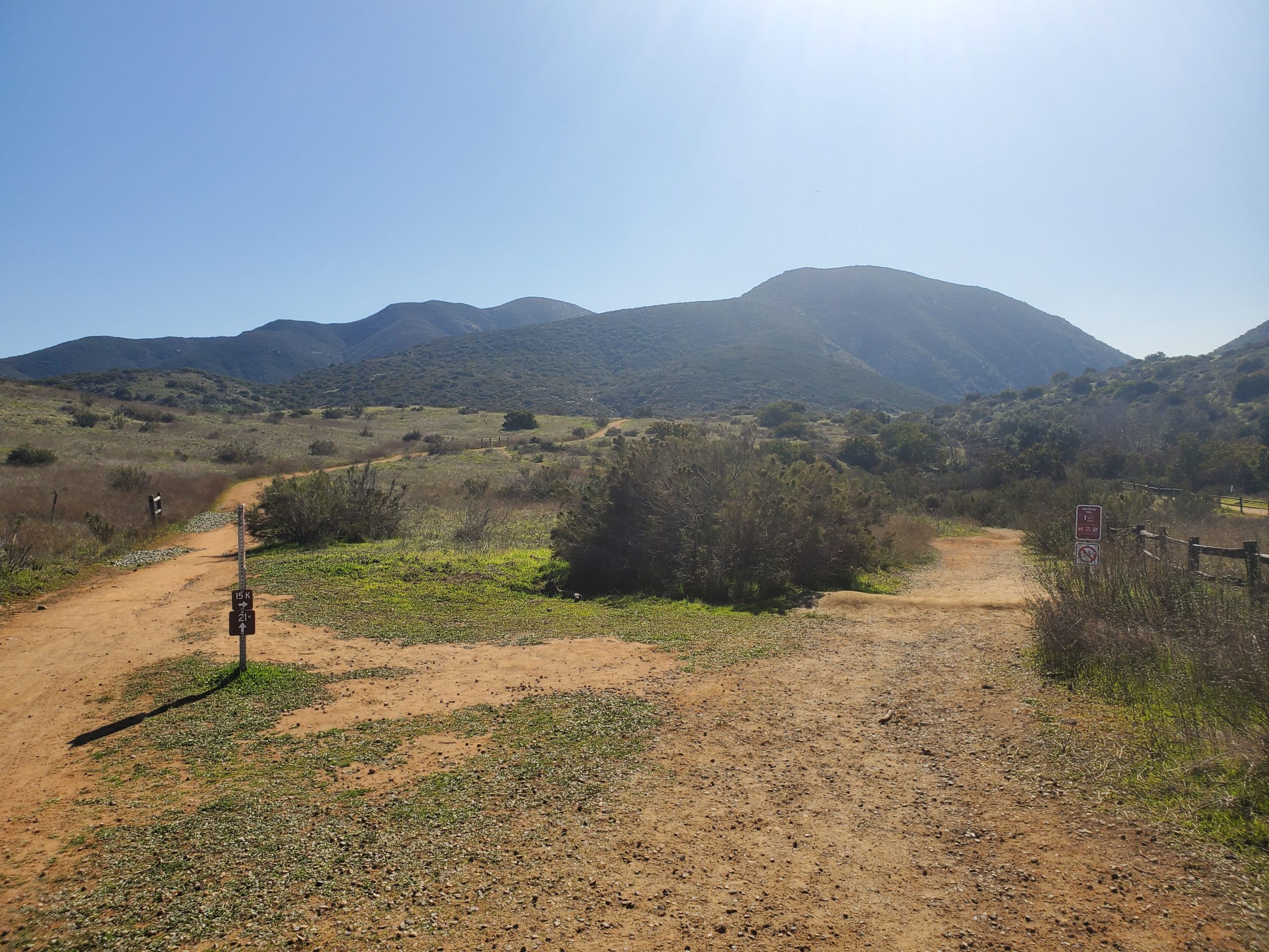
At Fortuna Saddle Trail you want to turn left heading downhill. This is also still a part of Perimeter Trail. This is also a service road that curves downhill to the Grasslands loop area.
As you look down you will see the trail you want to end up. This is the far-right trail, part of Grasslands Loop. You will up with this trail as the road flattens out.
At the intersection, the road turns off to your left towards the East Fortuna Staging Area. Grasslands Loop goes both to your left and straight ahead/right. Head straight/right.
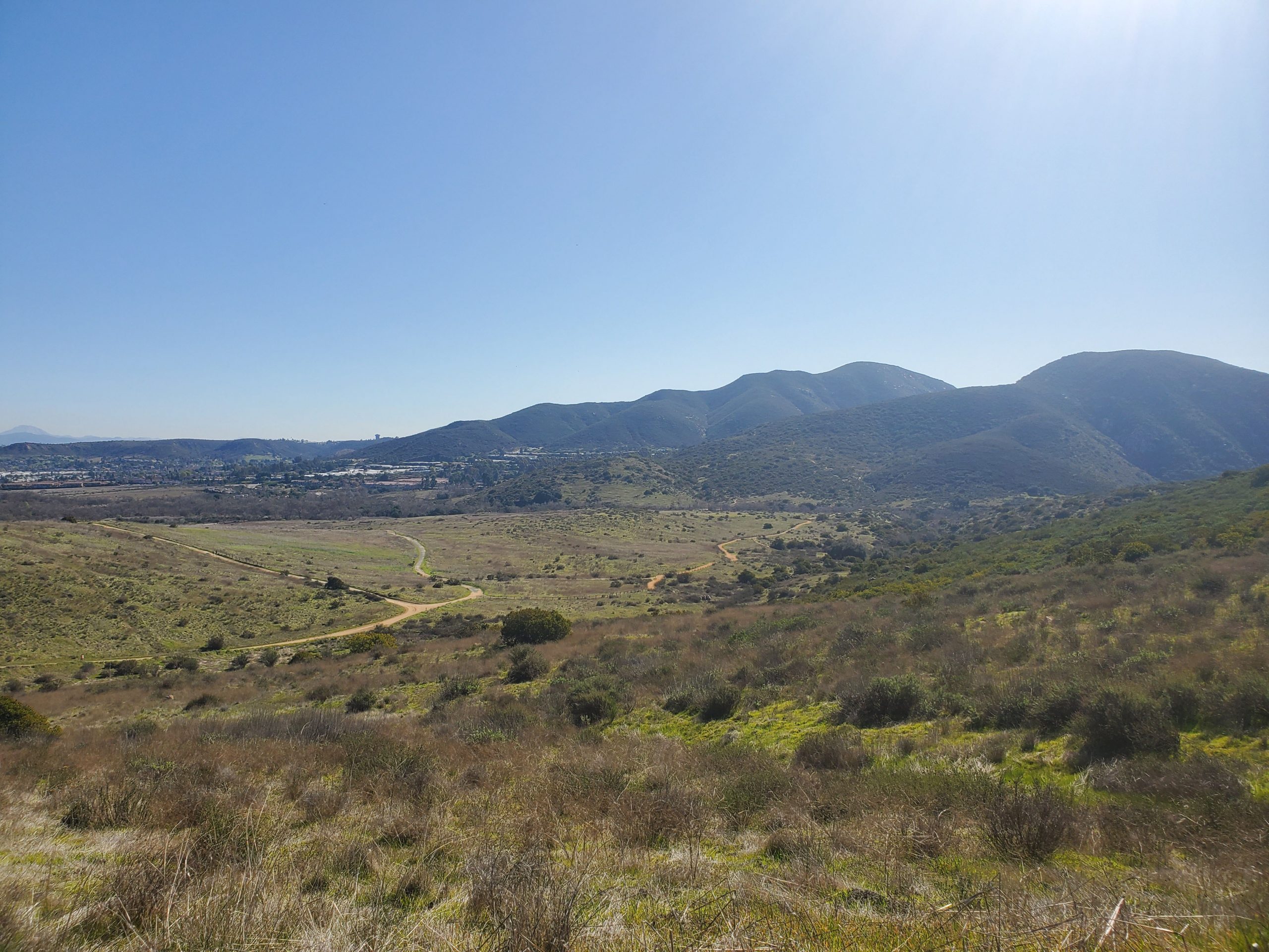
About a mile from where you left the north end of Oak Canyon Trail, Grassland Loop starts to parallel Oak Canyon Trail again.
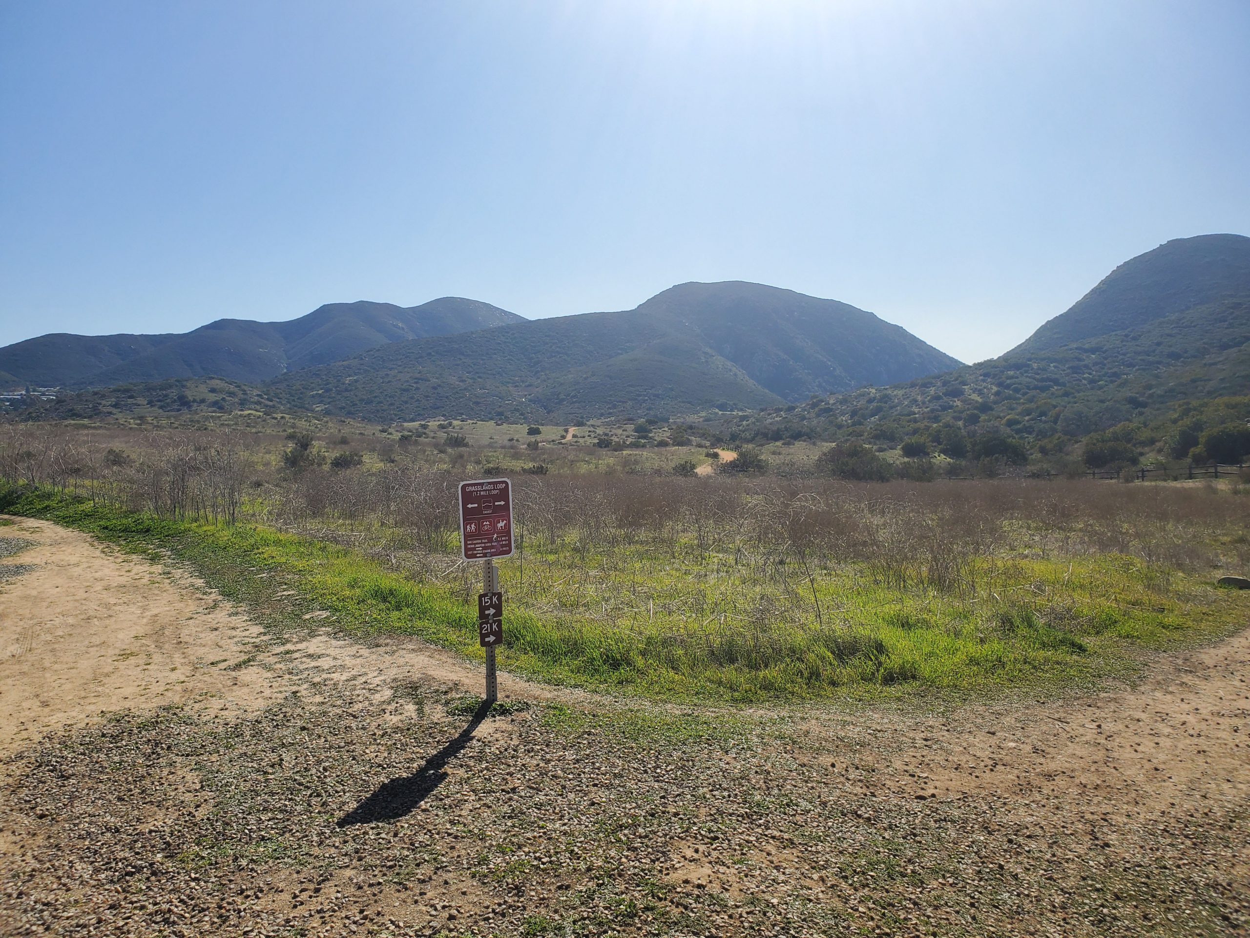
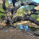
There will be several well-marked opportunities to turn right on a short connector trail back to Oak Canyon Trail. We suggest continuing on Grasslands Loop so you can get an overlook view of Old Mission Dam.
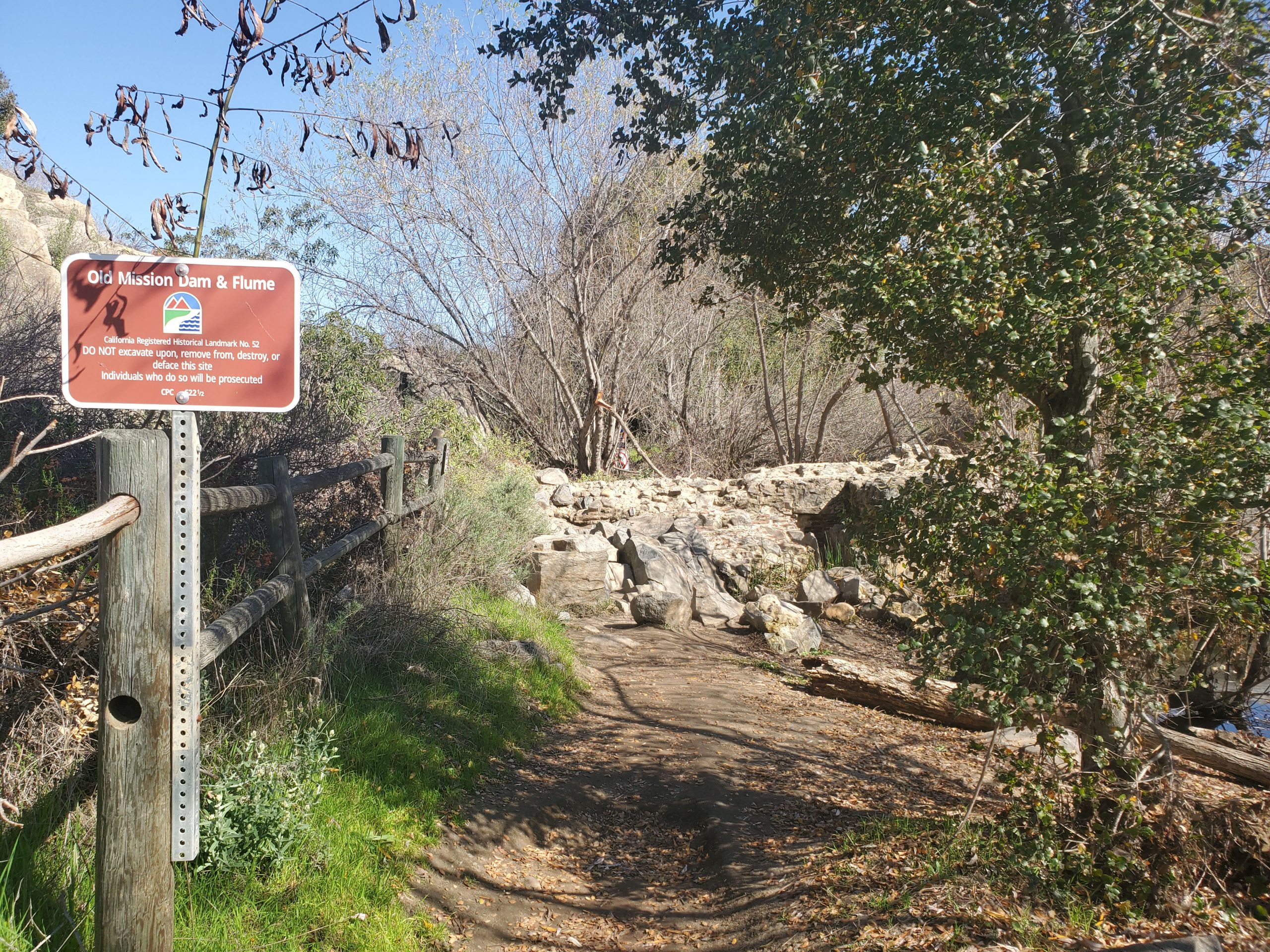
The Old Mission Dam is directly in front of the last turnoff for Oak Canyon. Walk up to the overlook to view the dam. From there you head back to the stairs on your left that take you back to Oak Canyon Trail.
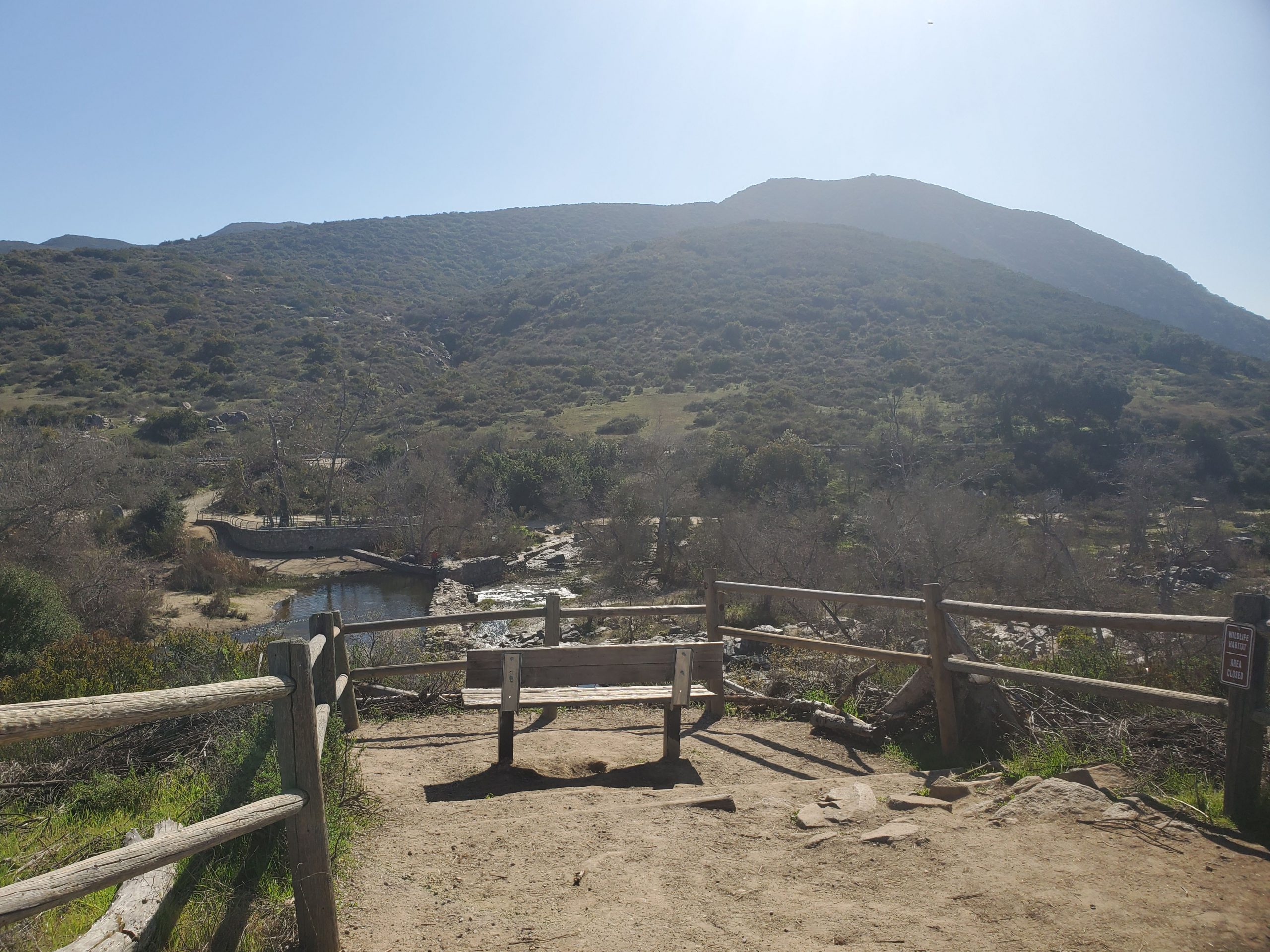
At the bottom of the stairs you can head left to the north end of Old Mission Dam. Many people climb on the dam. I am not sure if this is permitted but there are no signs saying not to. My son says he would never do it because it is an old historic structure.
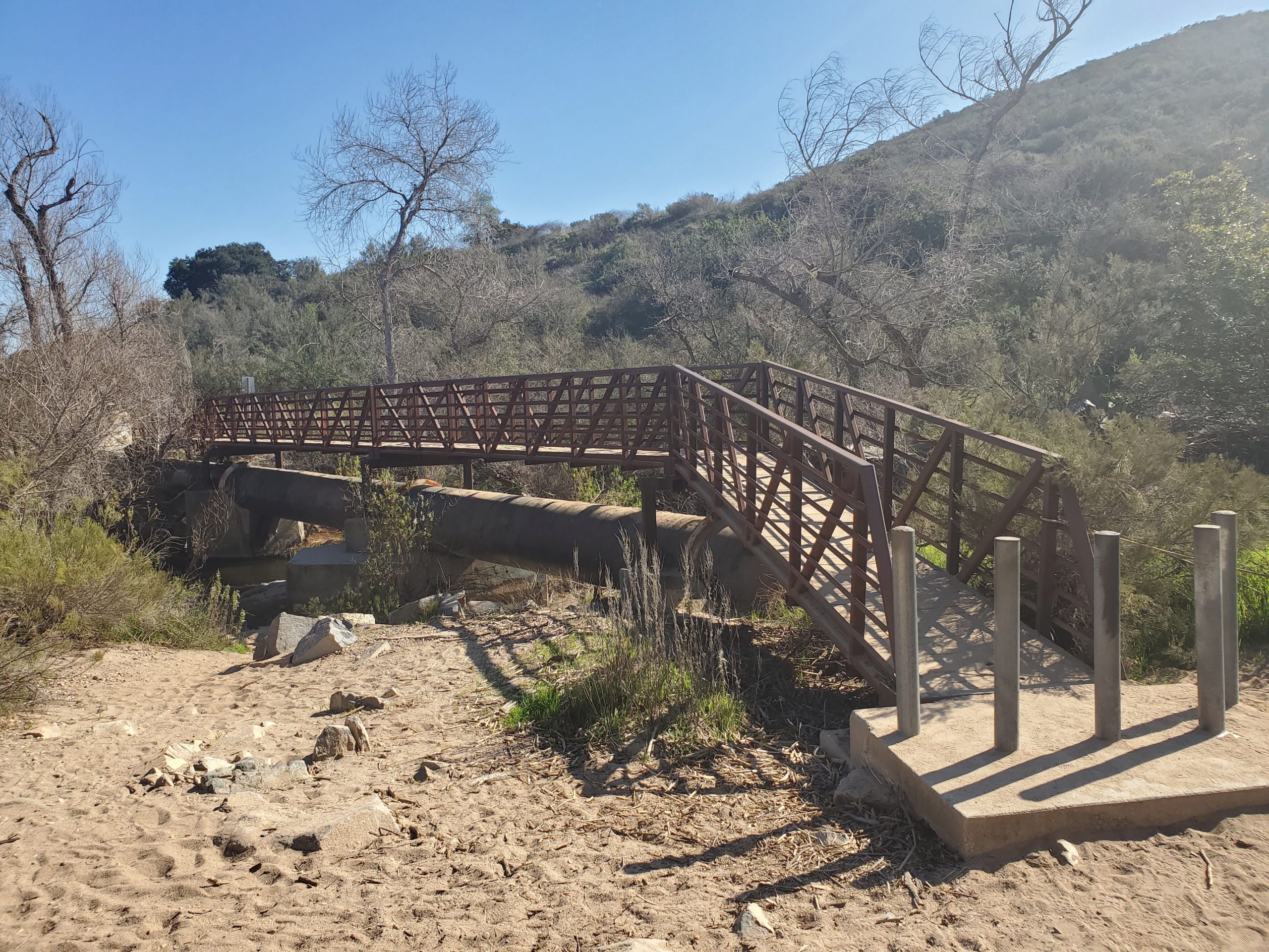
From Old Mission Dam you can head back directly along Oak Canyon Trail or take a rougher parallel route along the creek. Both end at the bridge that crosses San Diego River and heads directly back to the parking lot.
Note the hike from the north end of the Old Mission Dam to the south end is about half a mile.
Overall this loop is one of the best hikes in Mission Trails Park. On the park’s 1-3 scale of difficulty we rate it a 2. It is 3.6 miles. There is a little bit of uphill and some rock scrambling on the Oak Canyon Trail section. Overall it is a great for all ages and perfect as a “next-level” hike for children.
Be sure and check out our full guide to Mission Trails Regional Park.

One Comment
Comments are closed.