San Diego Hikes: South Fortuna Mountain at Mission Trails
Mission Trails Regional Park introduced the 5-Peak Challenge in 2015 in order to get hikers to explore more trails. South Fortuna is the shortest mountain in the challenge, but it is just as challenging as the higher peaks.
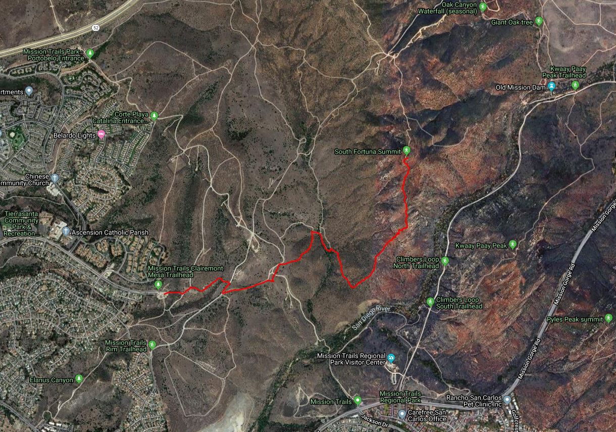
- Starting Point: West Fortuna Staging Area parking lot at eastern end of Clairemont Mesa Blvd
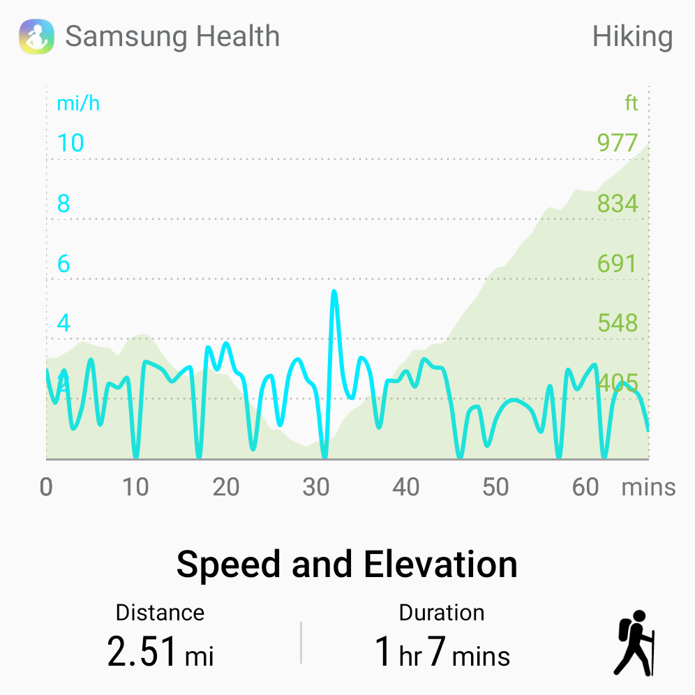
- Length: 5 miles
- Elevation: 800 foot gain and loss
- Type: out-and-back with loop option
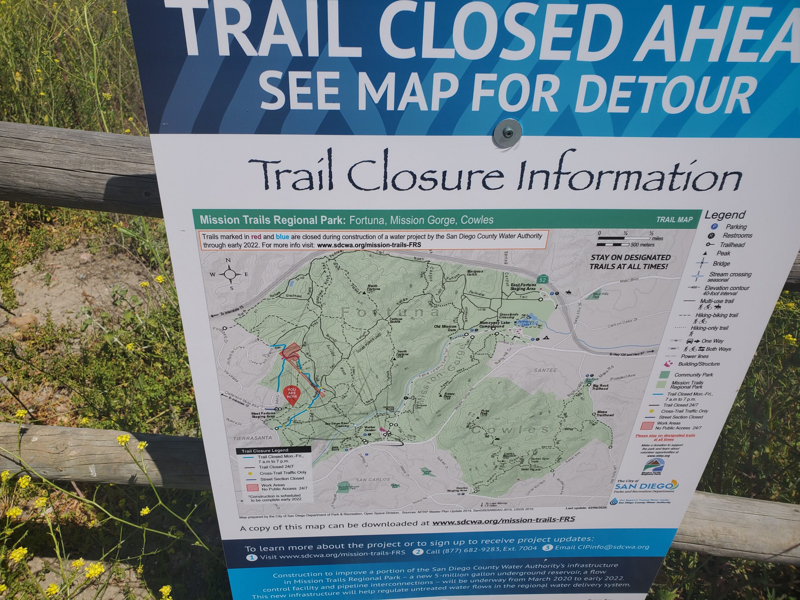
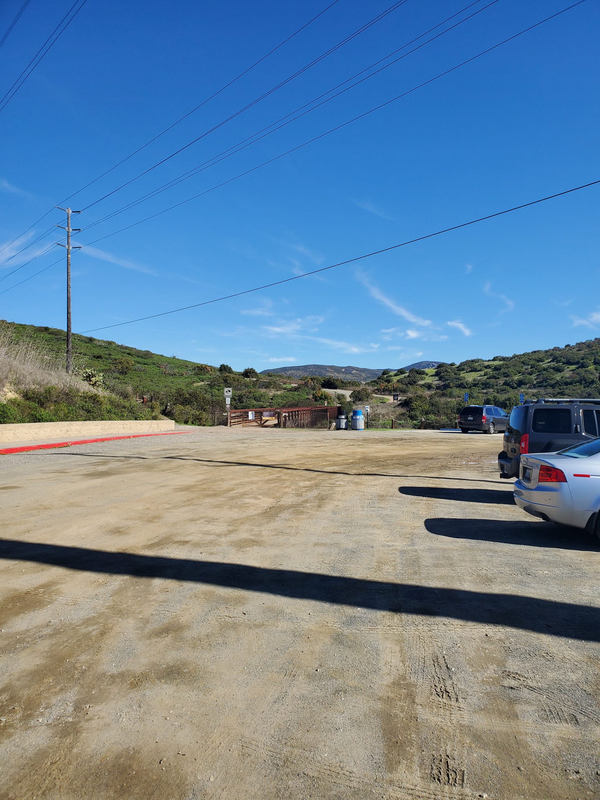
NOTE SPRING 2020: The West Fortuna area of Mission Trails Regional Park is undergoing construction activity on the water line until Winter 2022. This has included closing the parking lot at West Fortuna Staging Area. However, most trails are open. There may be some detours and construction conditions can change regularly. Before hiking you can check the official map for the project to look for current conditions. There will also be updates on the official website for Mission Trails.
You can find full information on the 5-Peak Challenge at our full guide to hiking Mission Trails Regional Park. Basically the 5-Peak Challenge was created because Cowles Mountain, the highest point in the city of San Diego was too crowded. The idea was to get hikers climbing the four other mountains in the park.
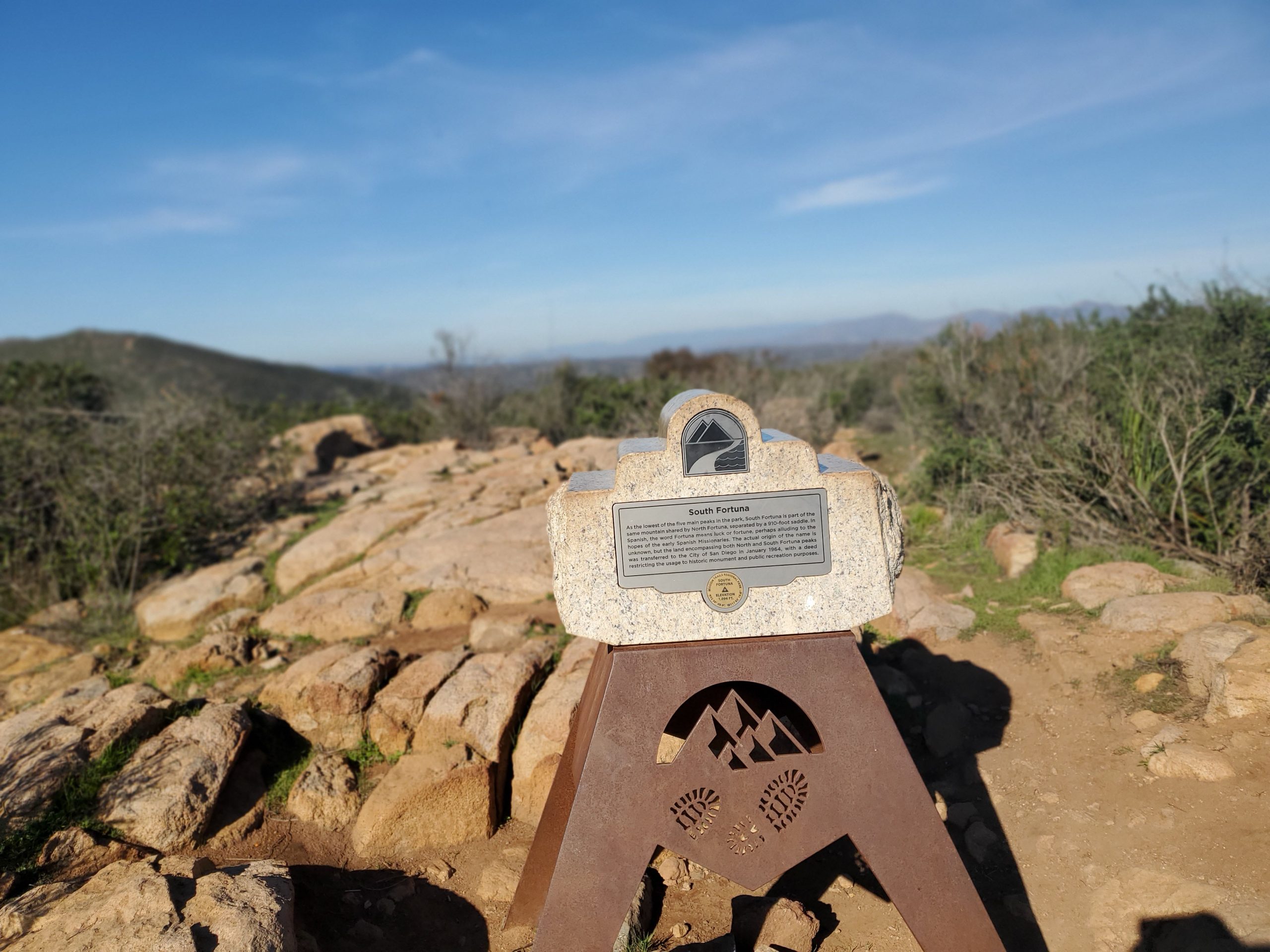
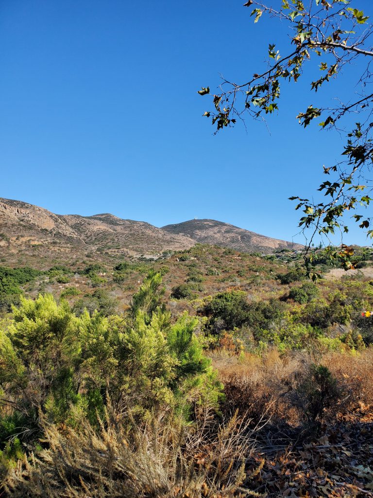
At 1094 feet, South Fortuna is 500 hundred feet shorter than Cowles Mountain. However, the hike up South Fortuna can be more challenging. Not only is it a longer hike but you need to hike down before you head up the mountain.
The main starting point for South Fortuna is the West Fortuna Staging Area. As the crow flies this is only a short distance from the Mission Trails Visitor Center. However, by car, it is a 10-mile drive.
There is an option to do the hike starting from the visitor center. We will add that hike later. Meanwhile, this hike, starting from the West Fortuna Staging Area is the official recommended route for the 5-Peak Challenge.
You can download the official 5-Peak Challenge map here.
Note that the hike as recommended is an out-and-back hike. When we do this hike we like to do it as a loop. Therefore, we have another hike that takes you down the mountain on the north side, near North Fortuna (another one of the 5-Peaks). This loop hike adds another mile for a 6-mile hike.
The West Fortuna Staging Area is at the end of Clairemont Mesa Road in the Tierrasanta community. There is a large parking lot and also plenty of street parking. Just note the gates are locked at dusk.
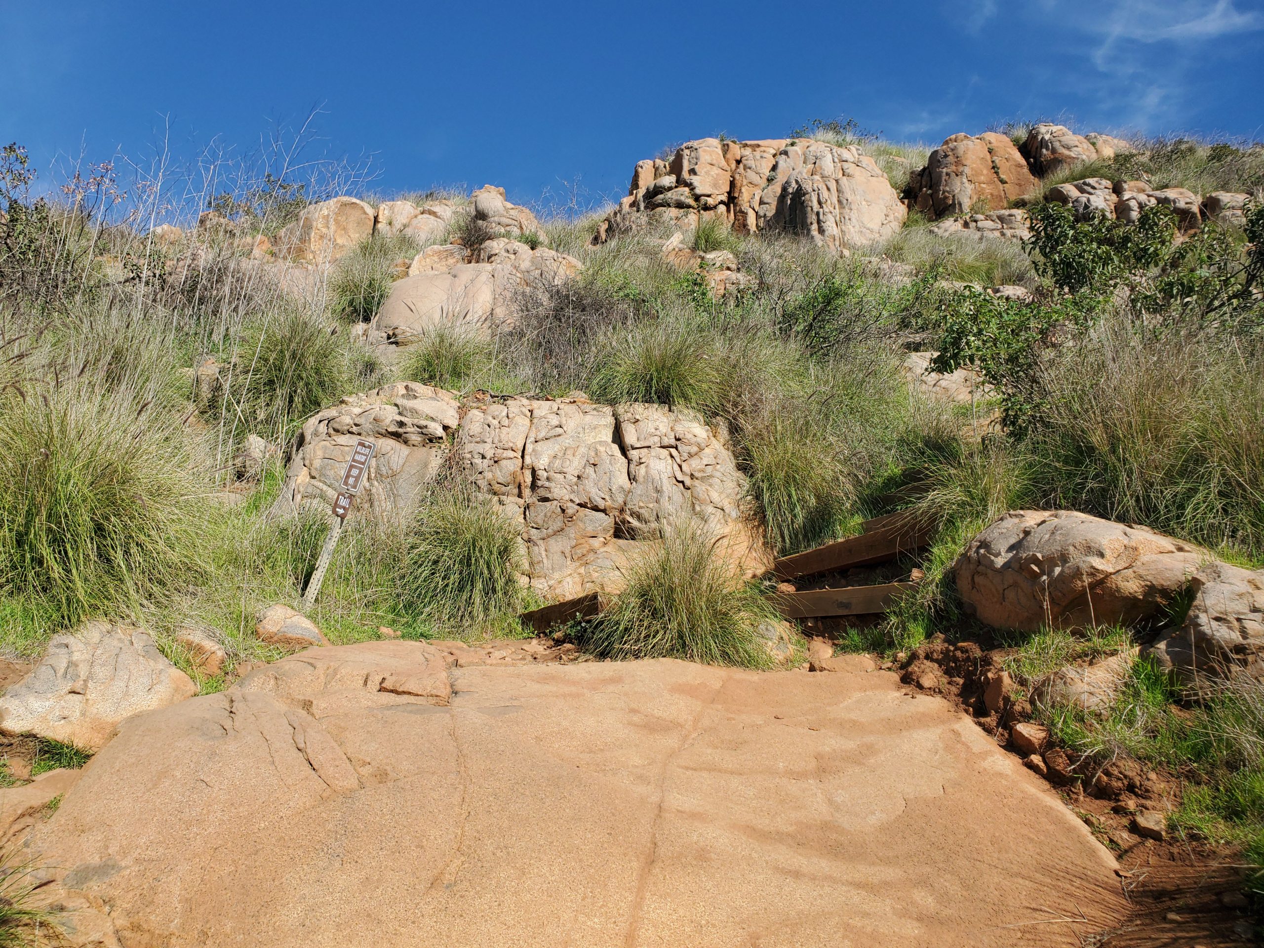
It should be noted that this area of Mission Trails has many hiking trails going off in all directions. Following the official trail can be a challenge, even with a map. The good news is that most trails will take you to the right place.
There are plenty of signs but in general you want to head straight from the parking lot towards the mountain. The goal is to hike to the South Fortuna Trail at which point you start climbing the mountain.
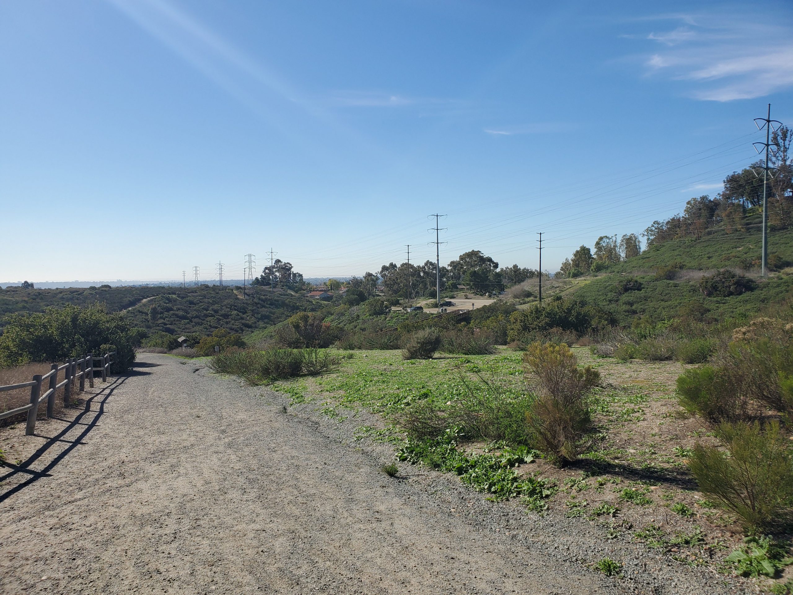
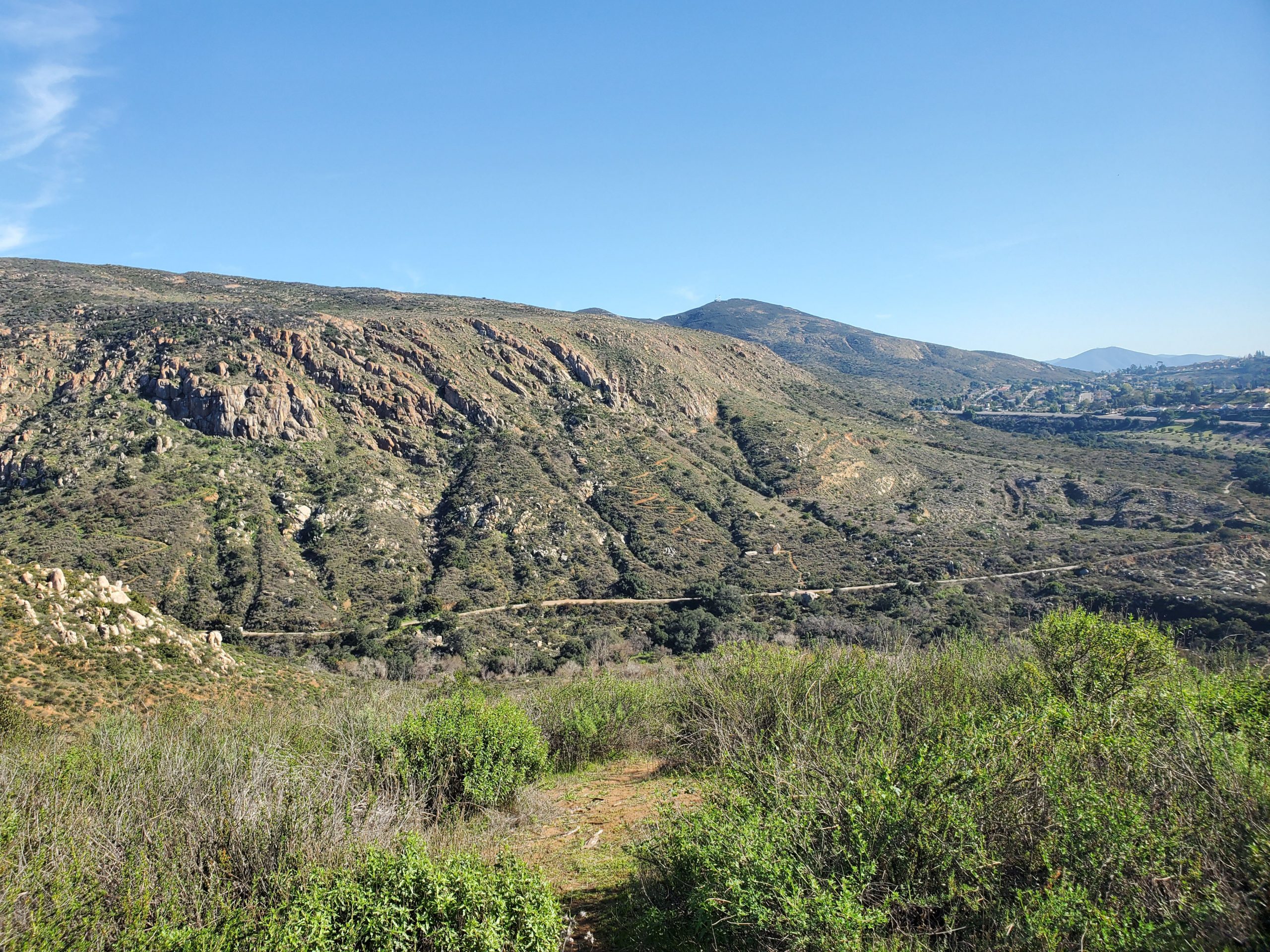
There is a power line that runs from the near parking lot to the saddle area between North Fortuna and South Fortuna mountain. If you follow the power line to the east, North Fortuna will be on your left and South Fortuna is on your right.
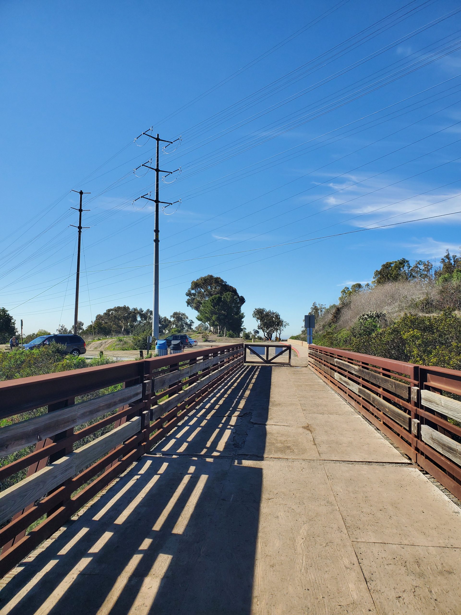
From the parking lot you will cross a bridge to your first intersection. At this point you will turn left and walk a very short distance uphill (a 100 yards or so) to a narrow trail that heads down to your right.
This short connector trail takes you down a short distance before climbing a staircase to the main trail on a service road. At the service road you will go right for a very short distance of 100 yards (320 feet).
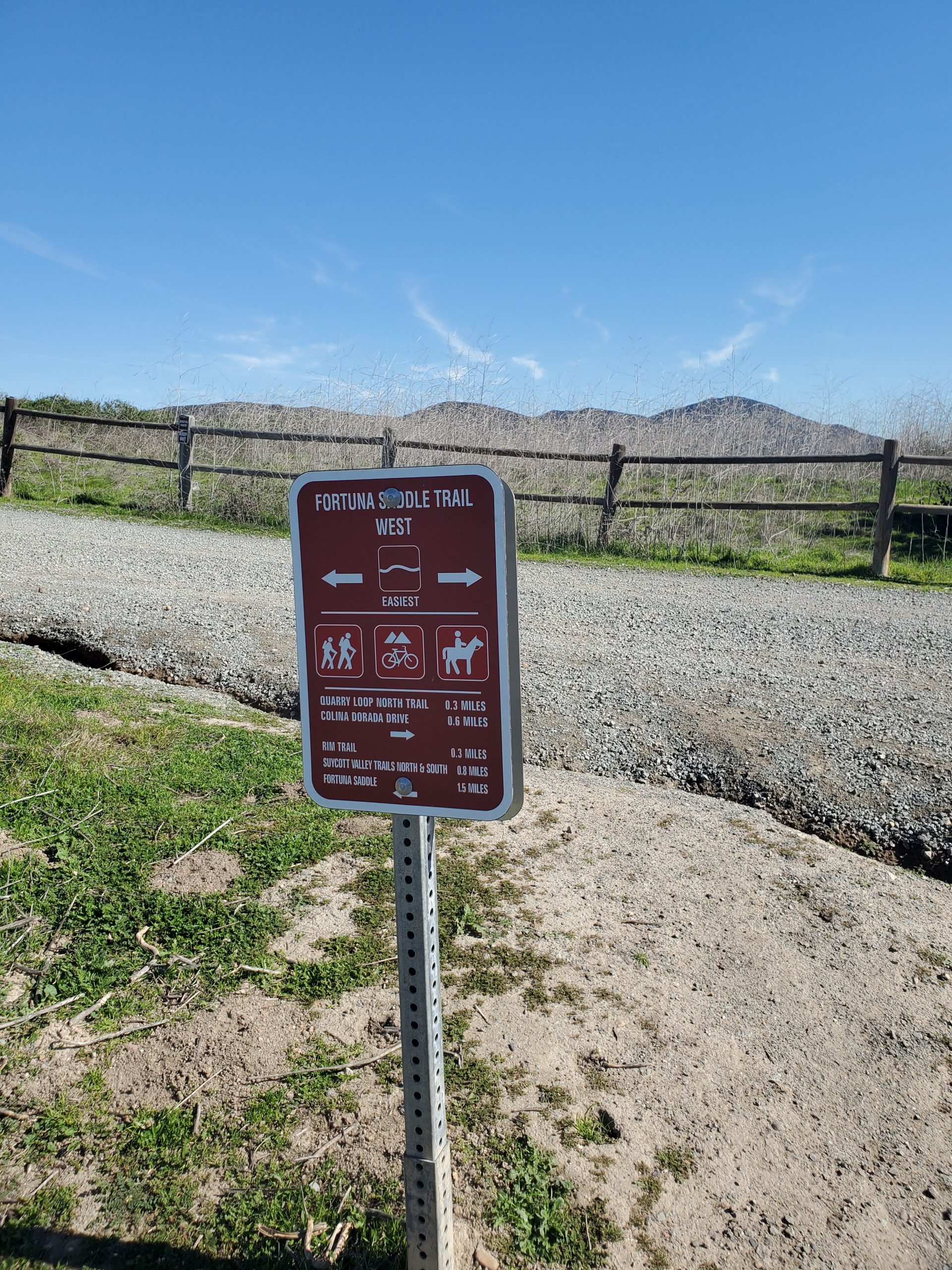
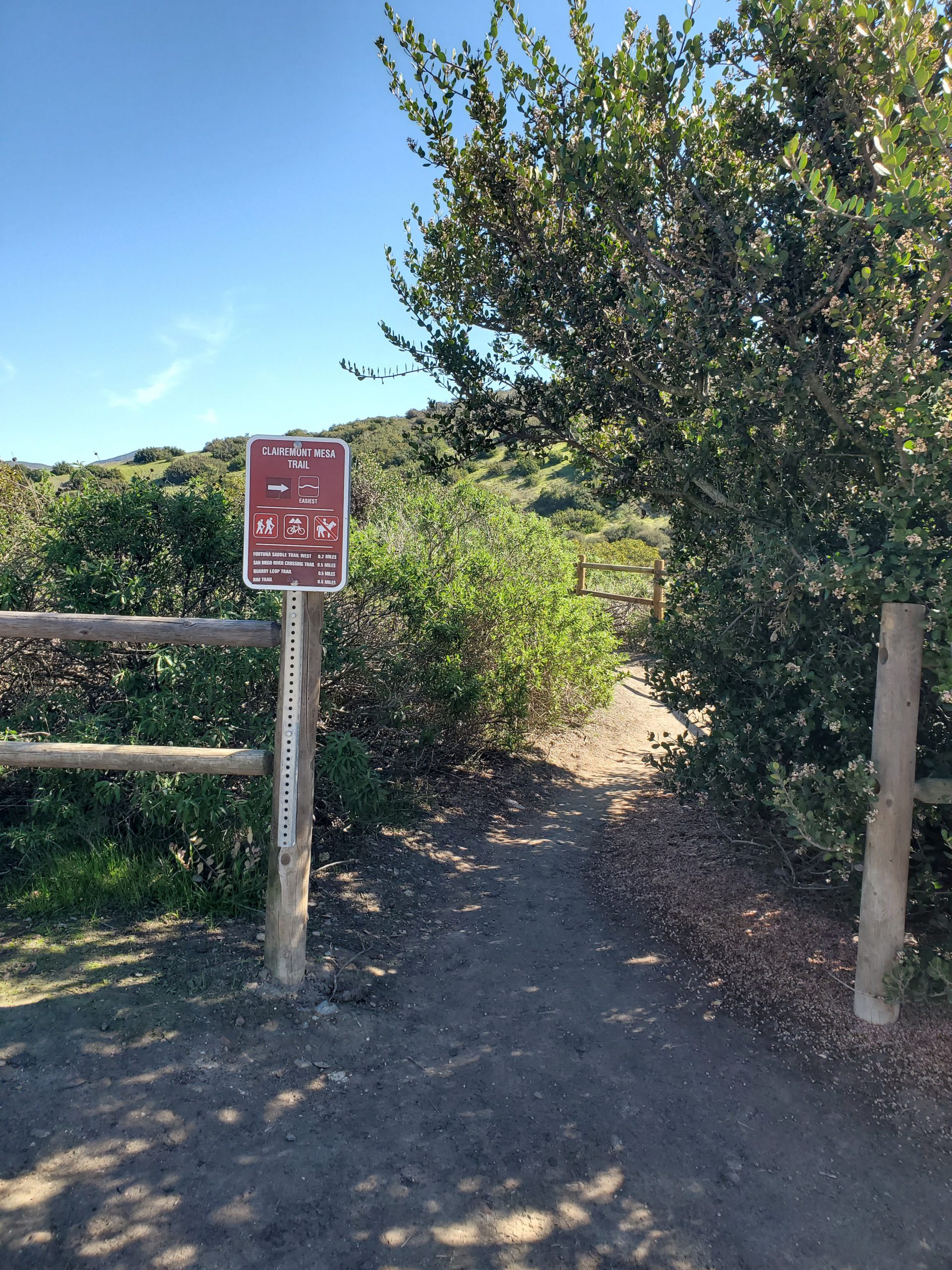
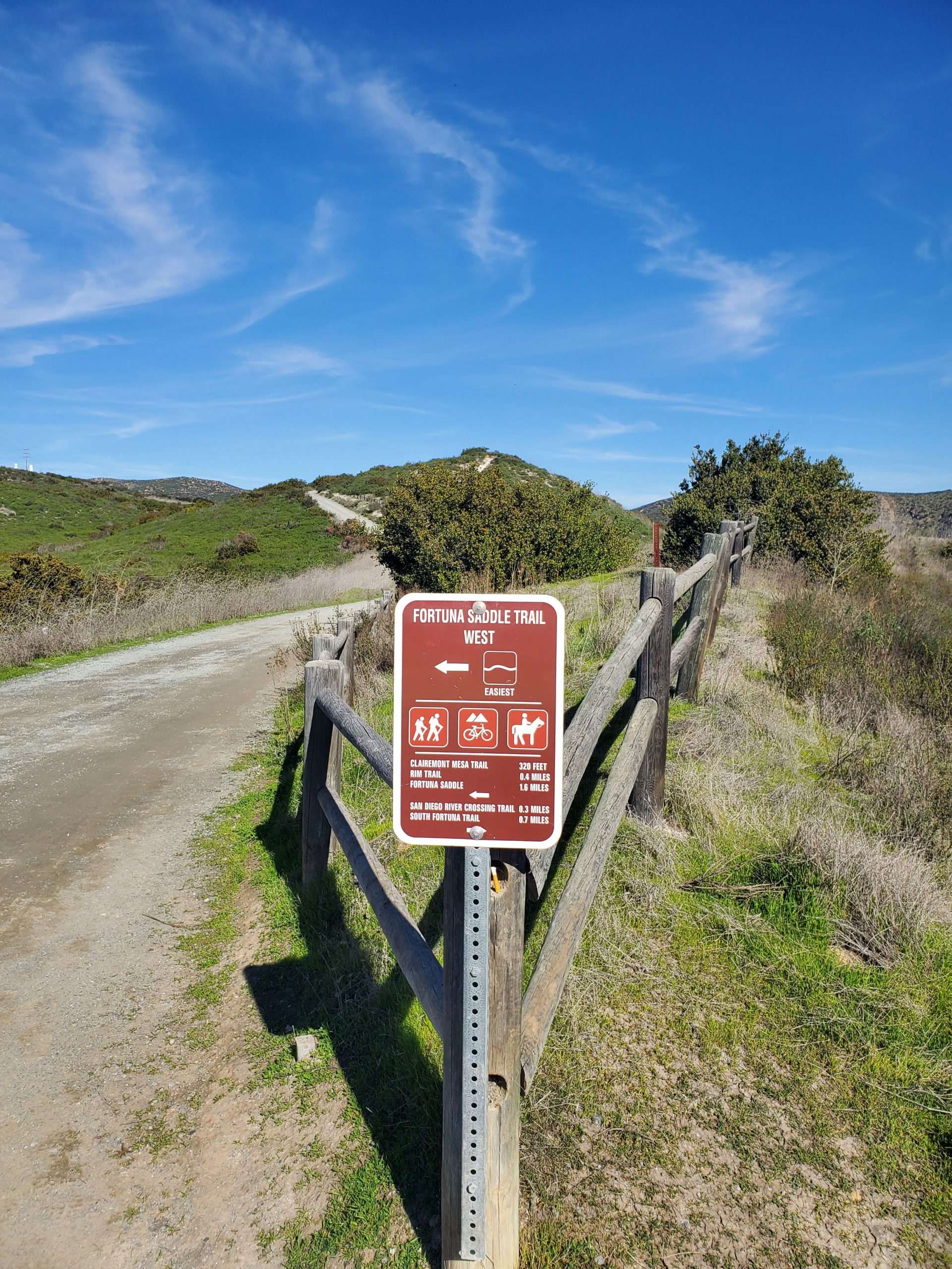
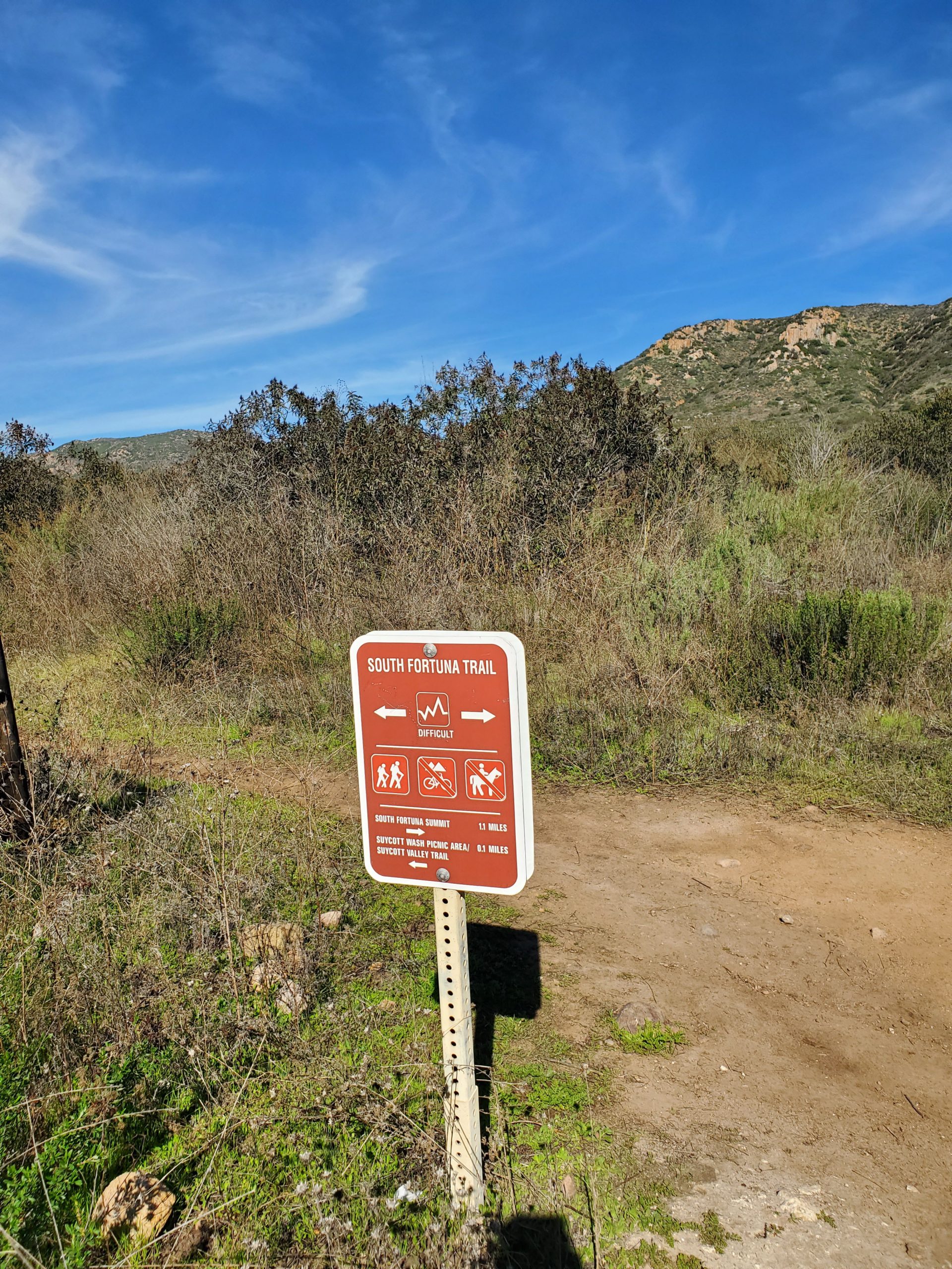
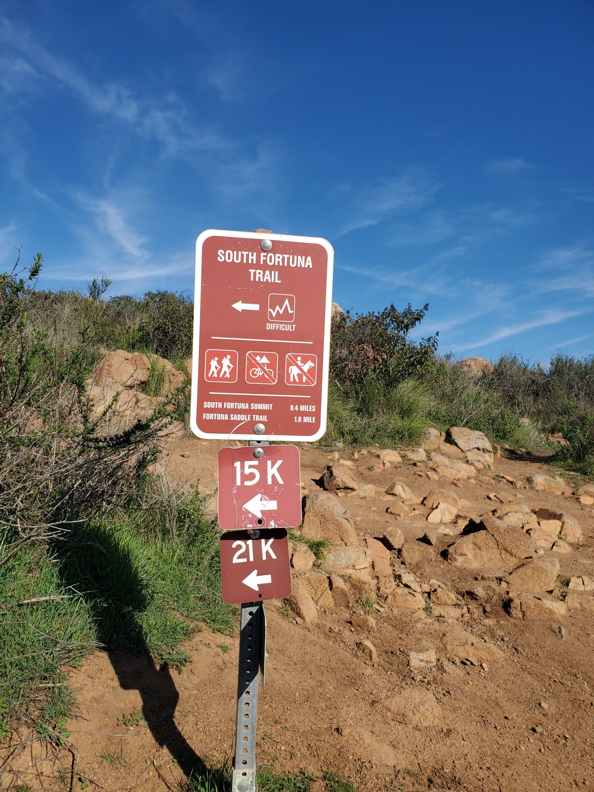
Just remember when you come to signs your ultimate goal is to get to the South Fortuna Trail. Note it is still 0.7 miles to the actual South Fortuna Trail.
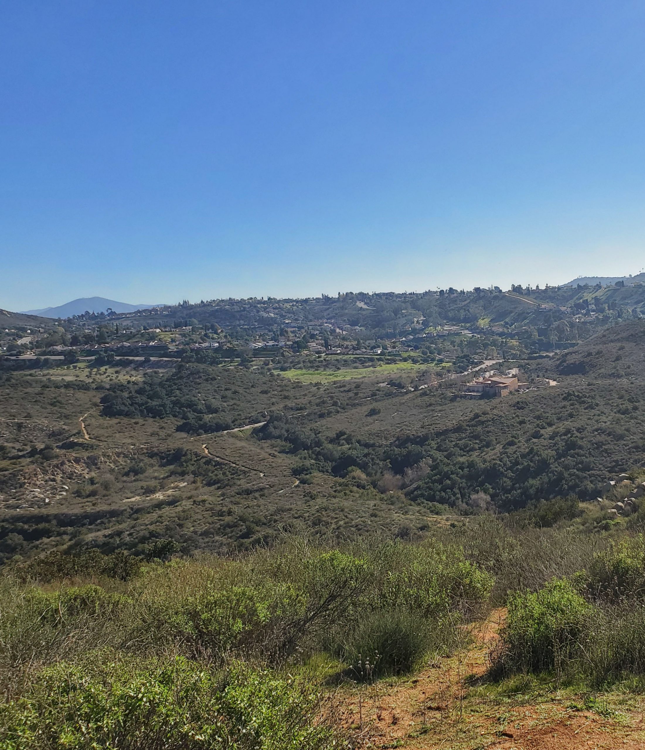
The trail continues along a gradual uphill. At this point you get views down to your right towards the visitor center area. On your right the River Crossing Trail heads down to the visitor center. This is another way to hike up South Fortuna.
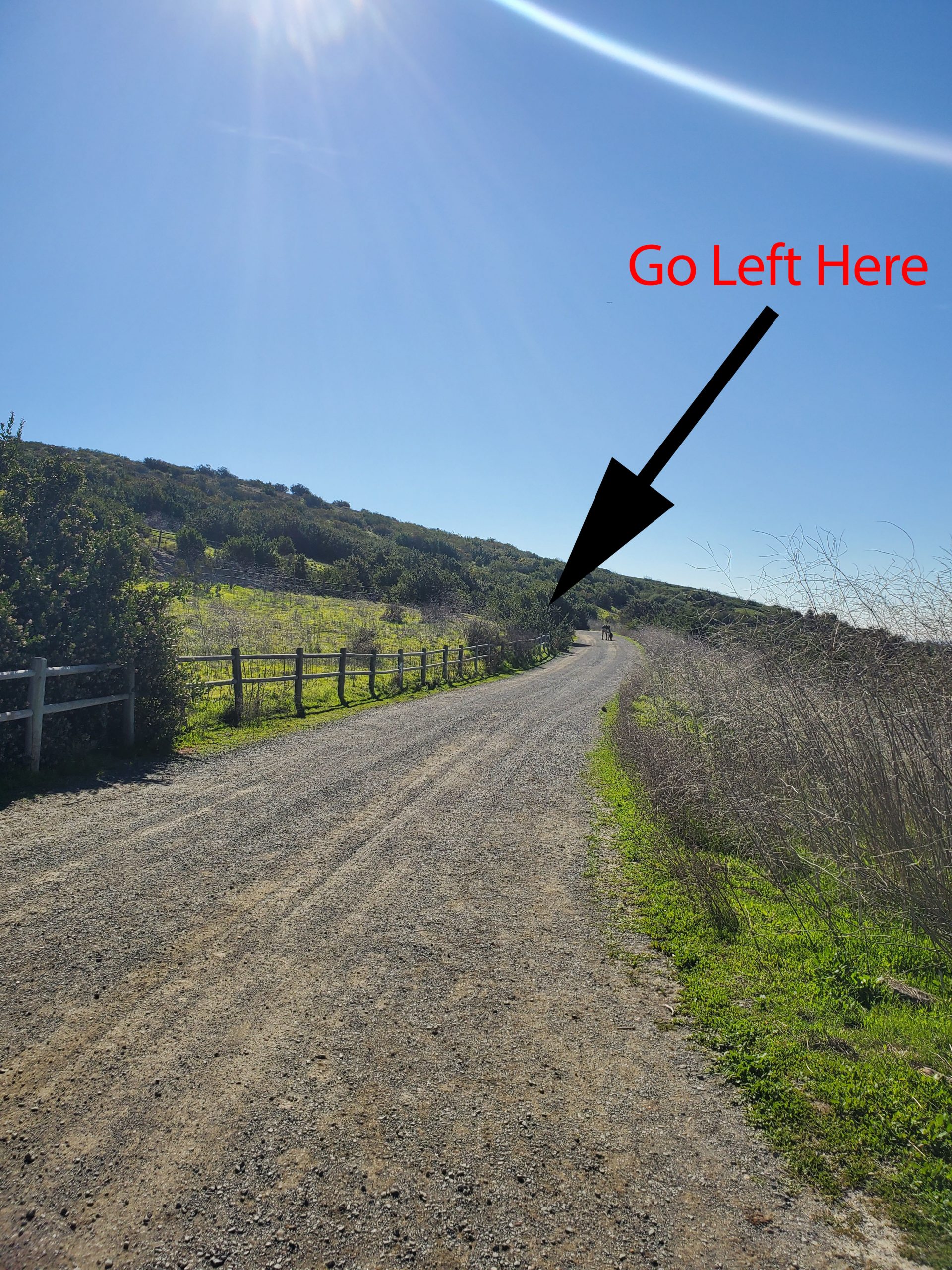
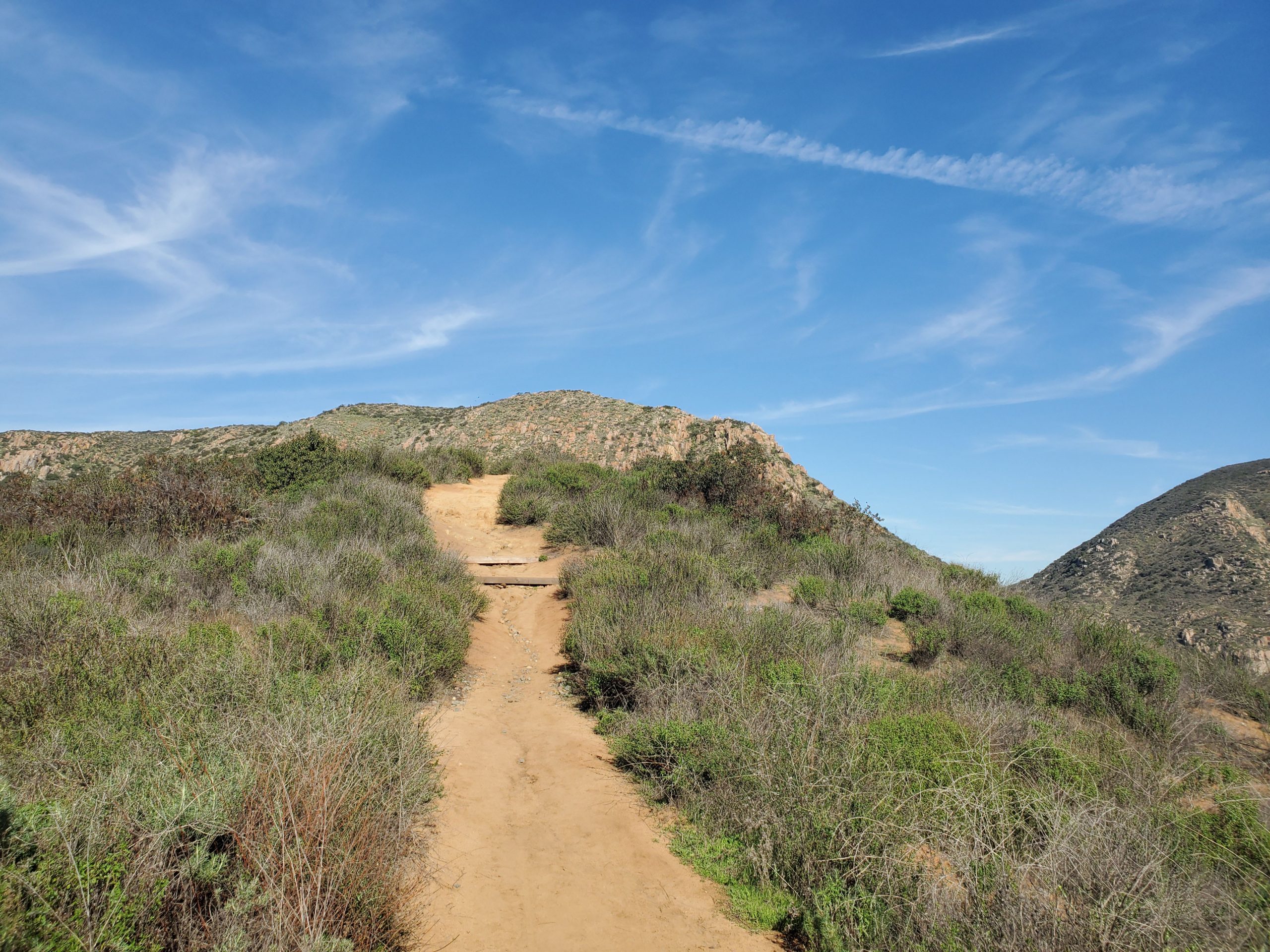
Right past the River Crossing Trail, at about 0.8 miles into the hike you will come to a meeting of four trail. You want to take the narrow downhill trail to the right, Suycott Valley Trail. Yes before you climb up the mountain you have to go downhill.
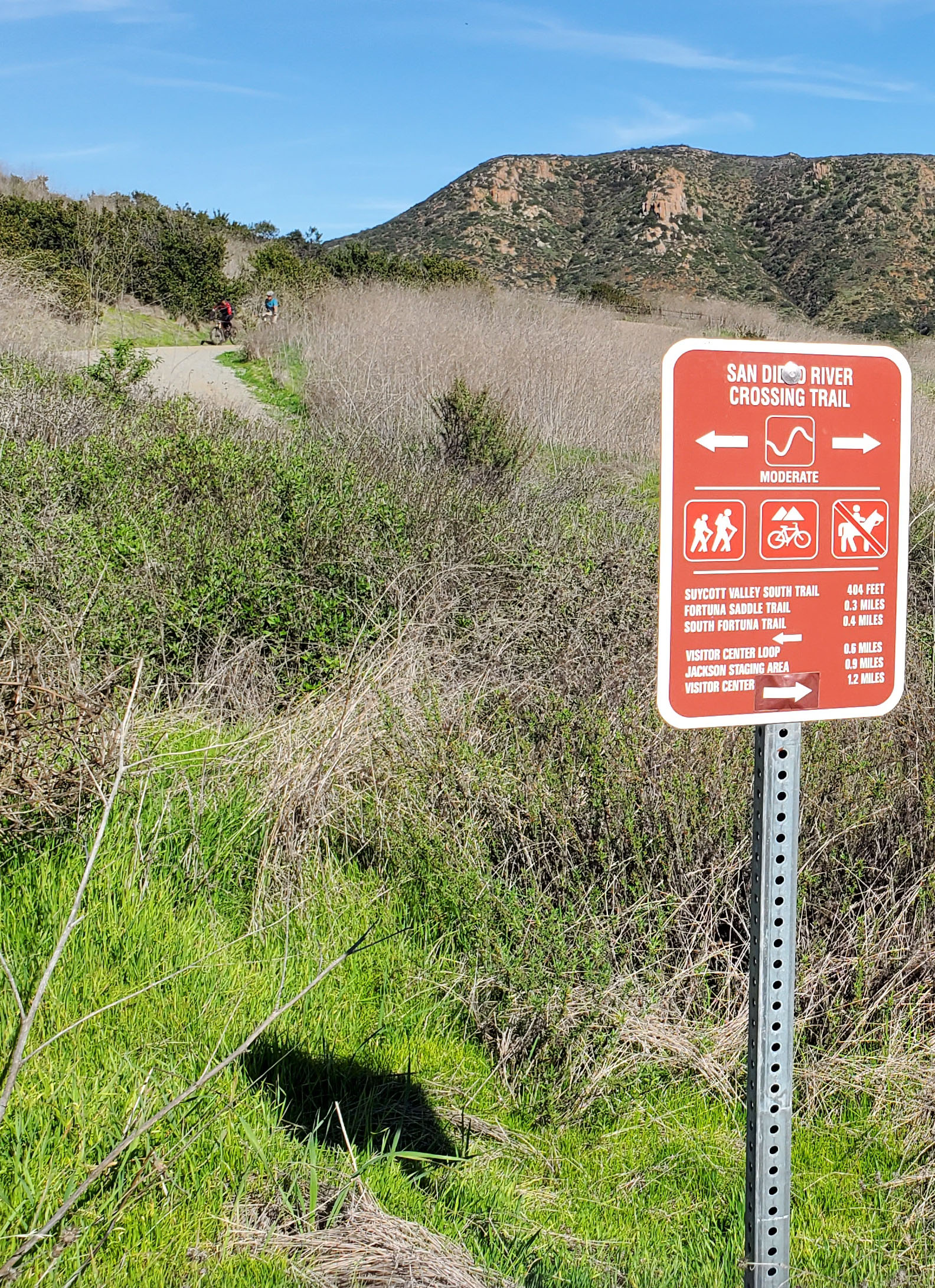
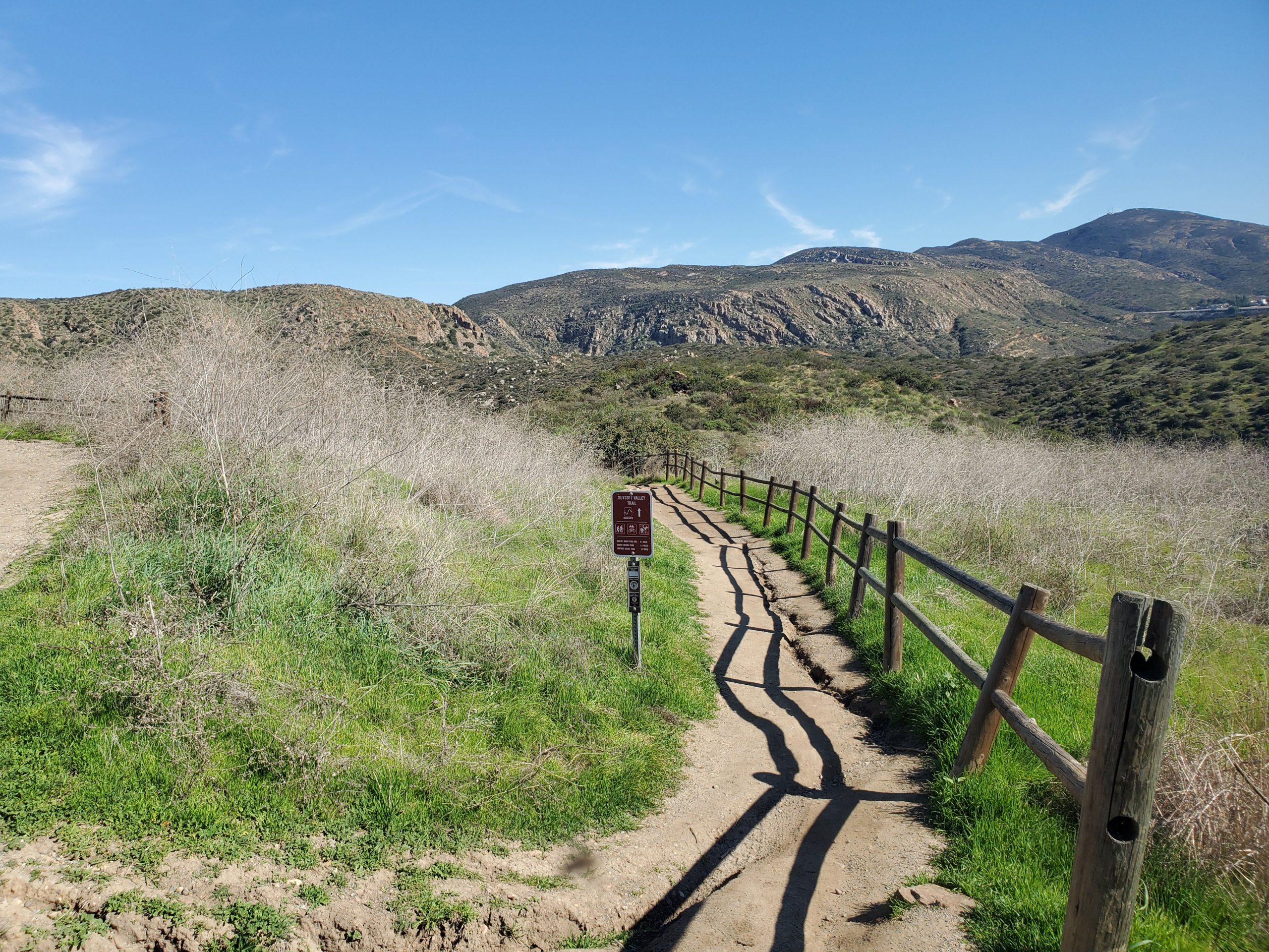
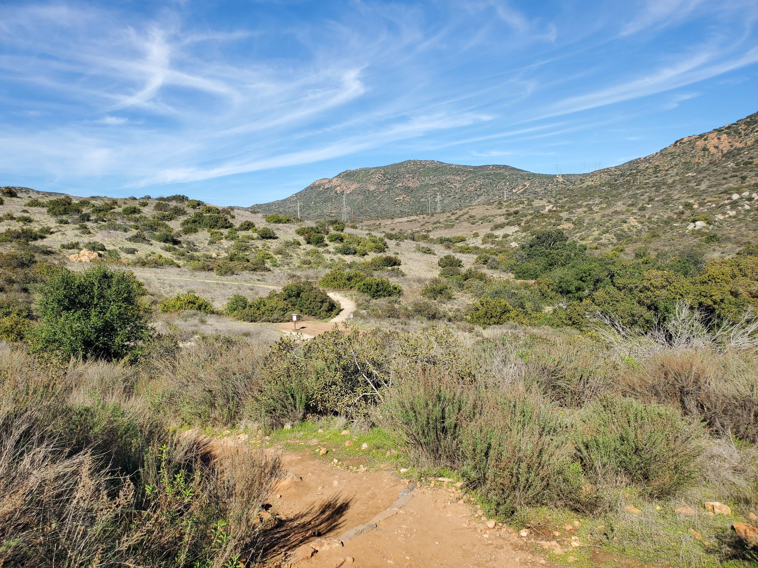
The Suycott Valley Trail goes downhill to the base of South Fortuna. At the bottom is a clearing where several trails meet. There is even a picnic area. At this point South Fortuna rises directly above to the east. You want to turn right and take the trail south parallel to the mountain. This is the official start of South Fortuna Trail. You have come about 1.3 miles, it is now 1.2 miles up to the summit.
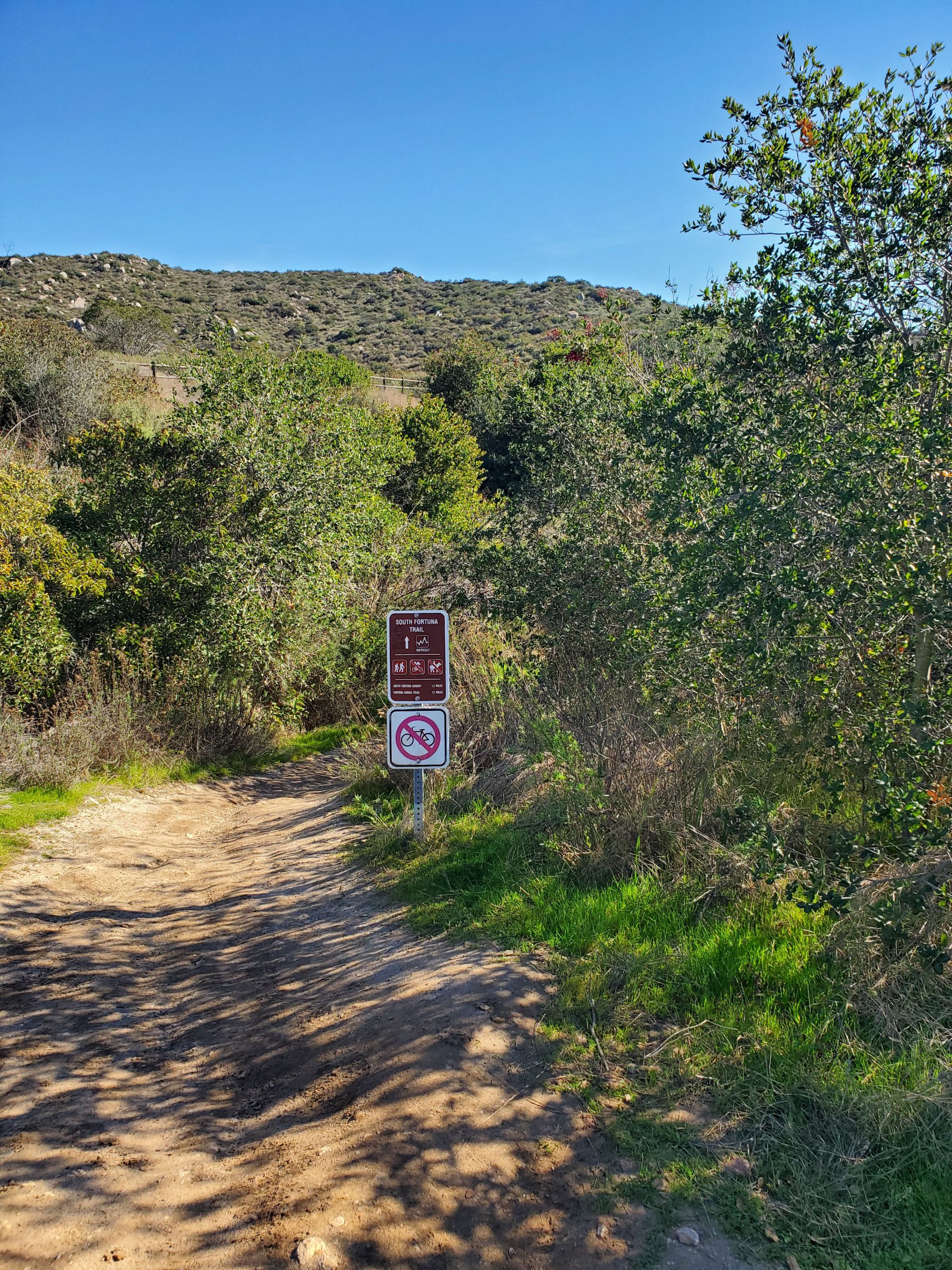
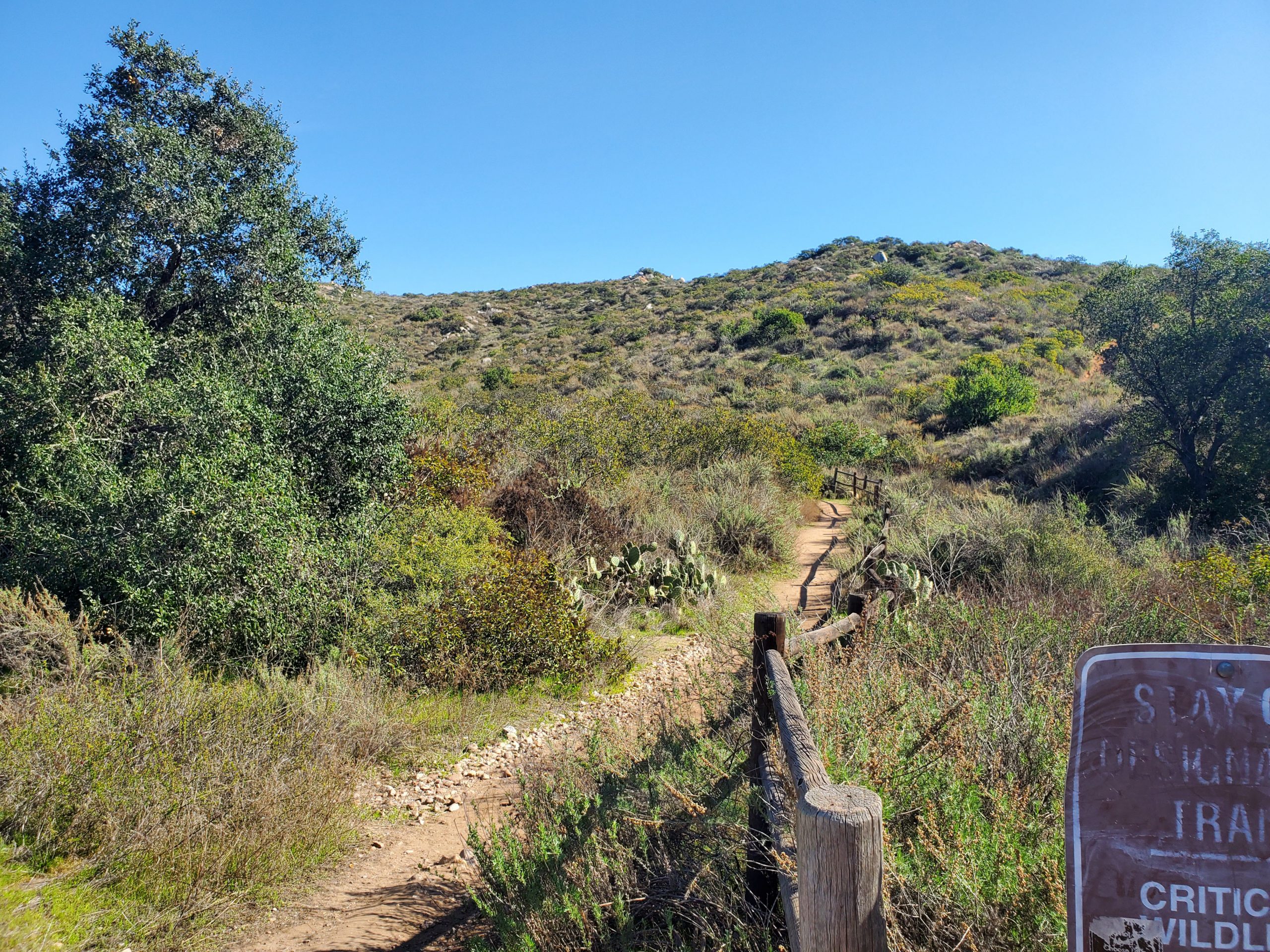
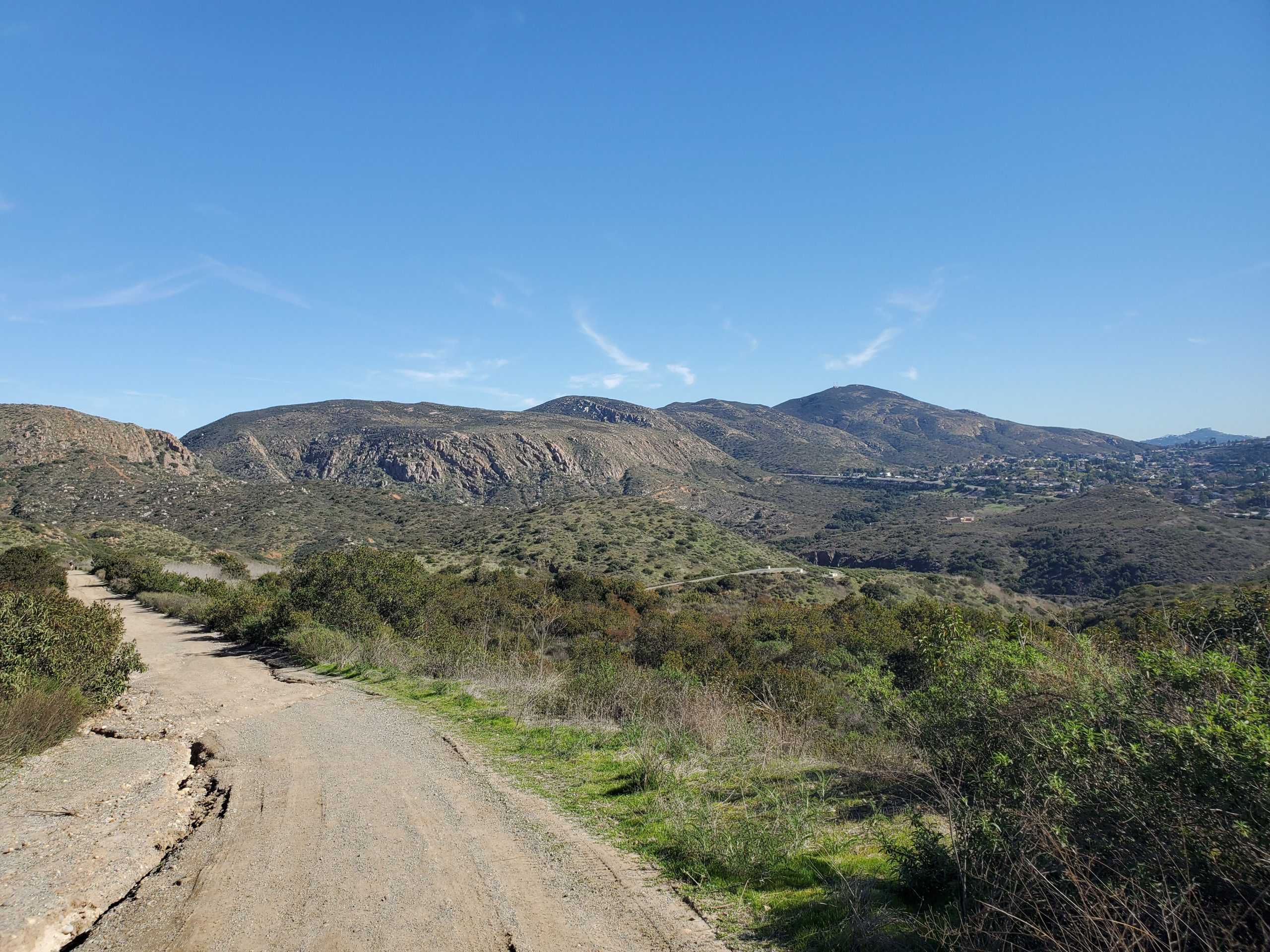
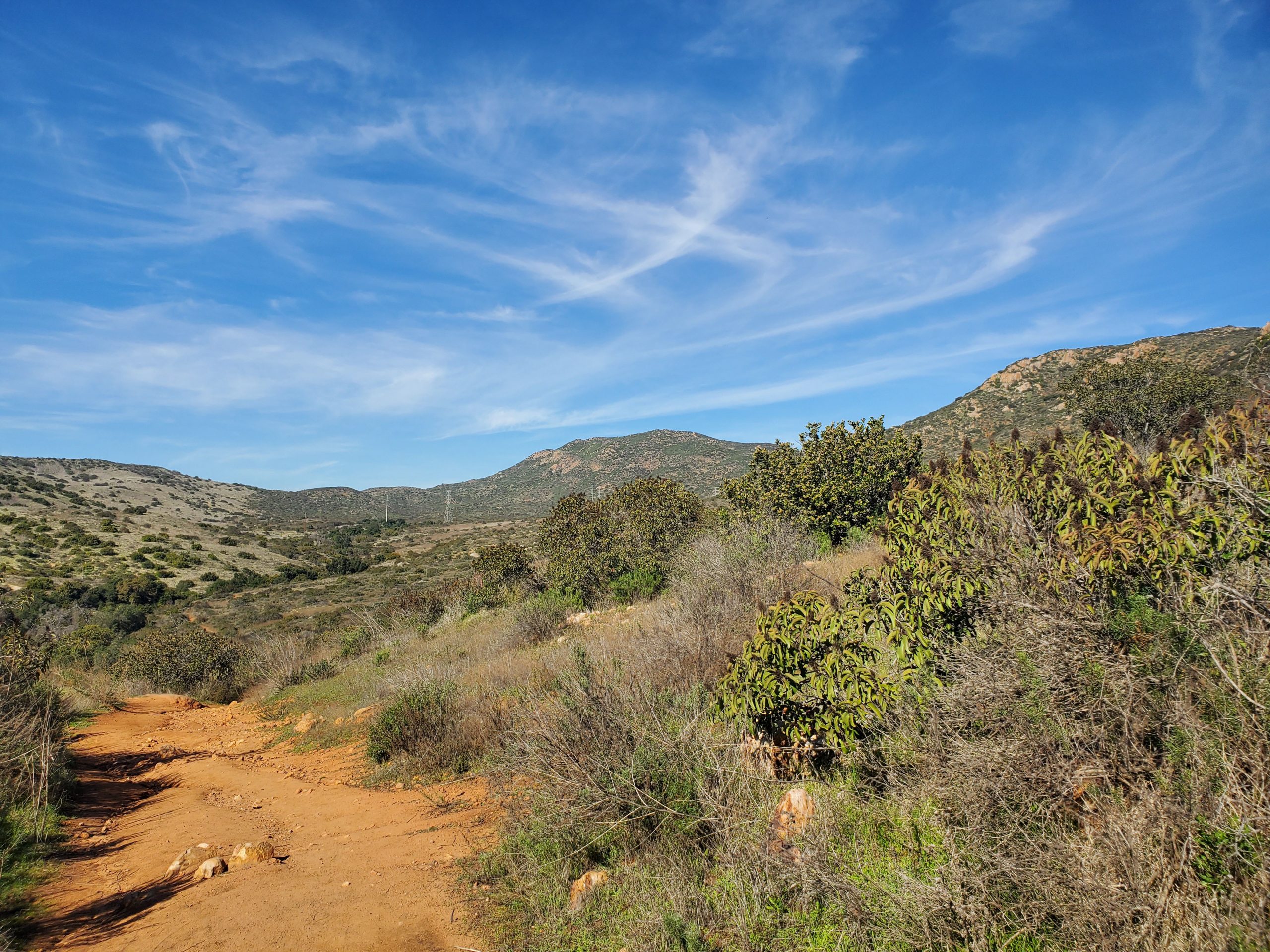
The trail climbs slowly as it heads south around the mountain. You are climbing to a ridge that runs along Mission Gorge. Below is the Father Junipero Serra Trail, the main road through Mission Trails park. The visitor center will be directly ahead below you.
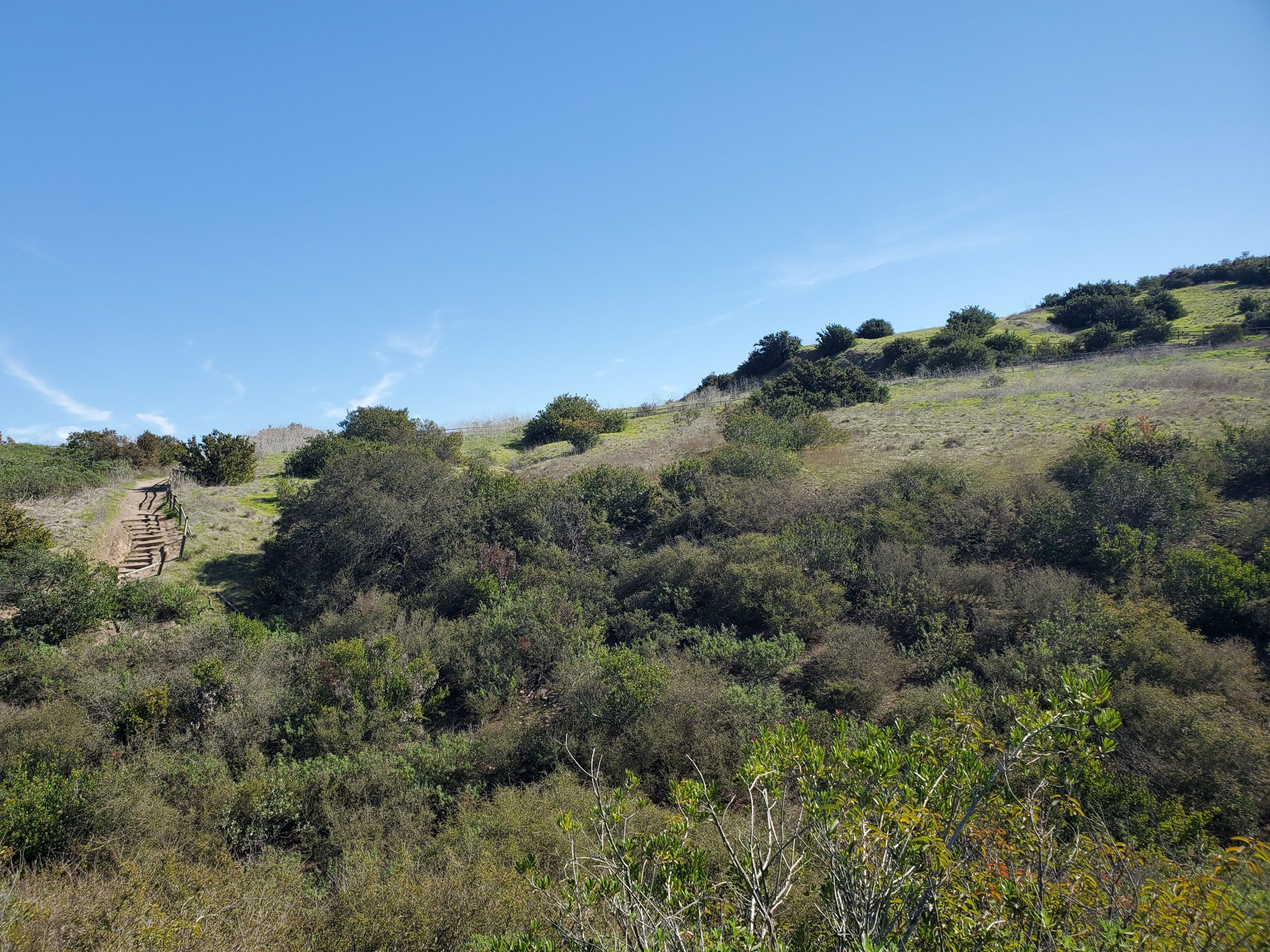
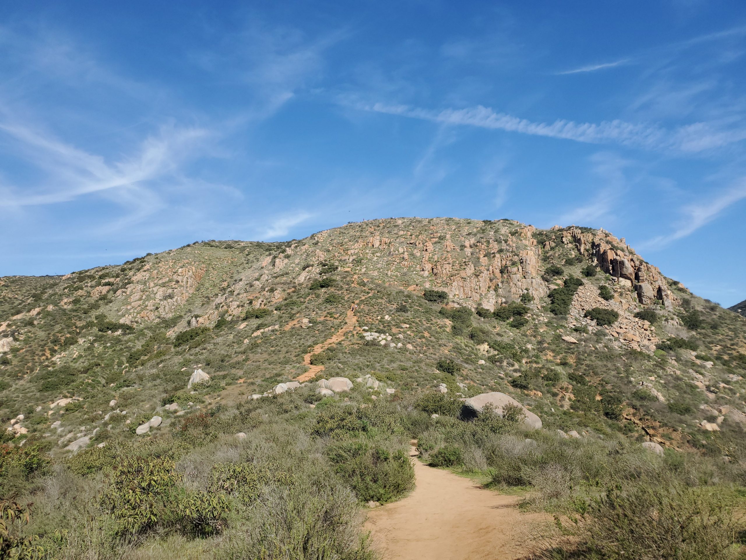
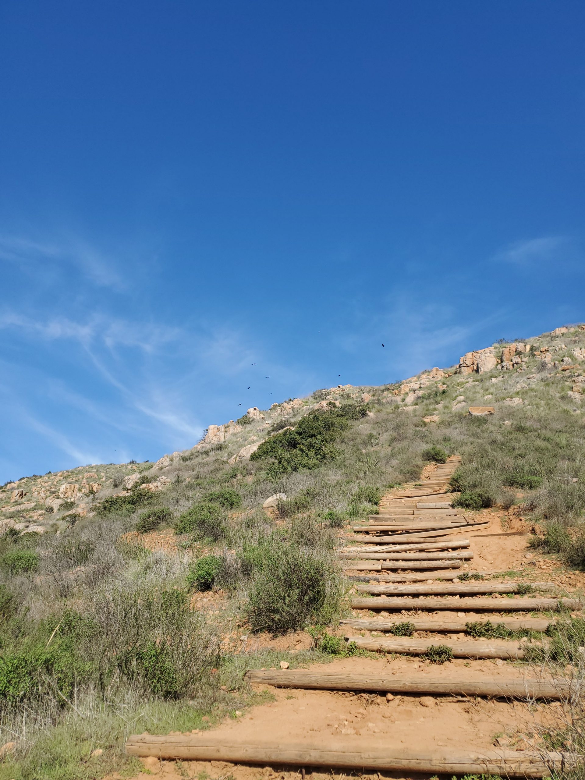
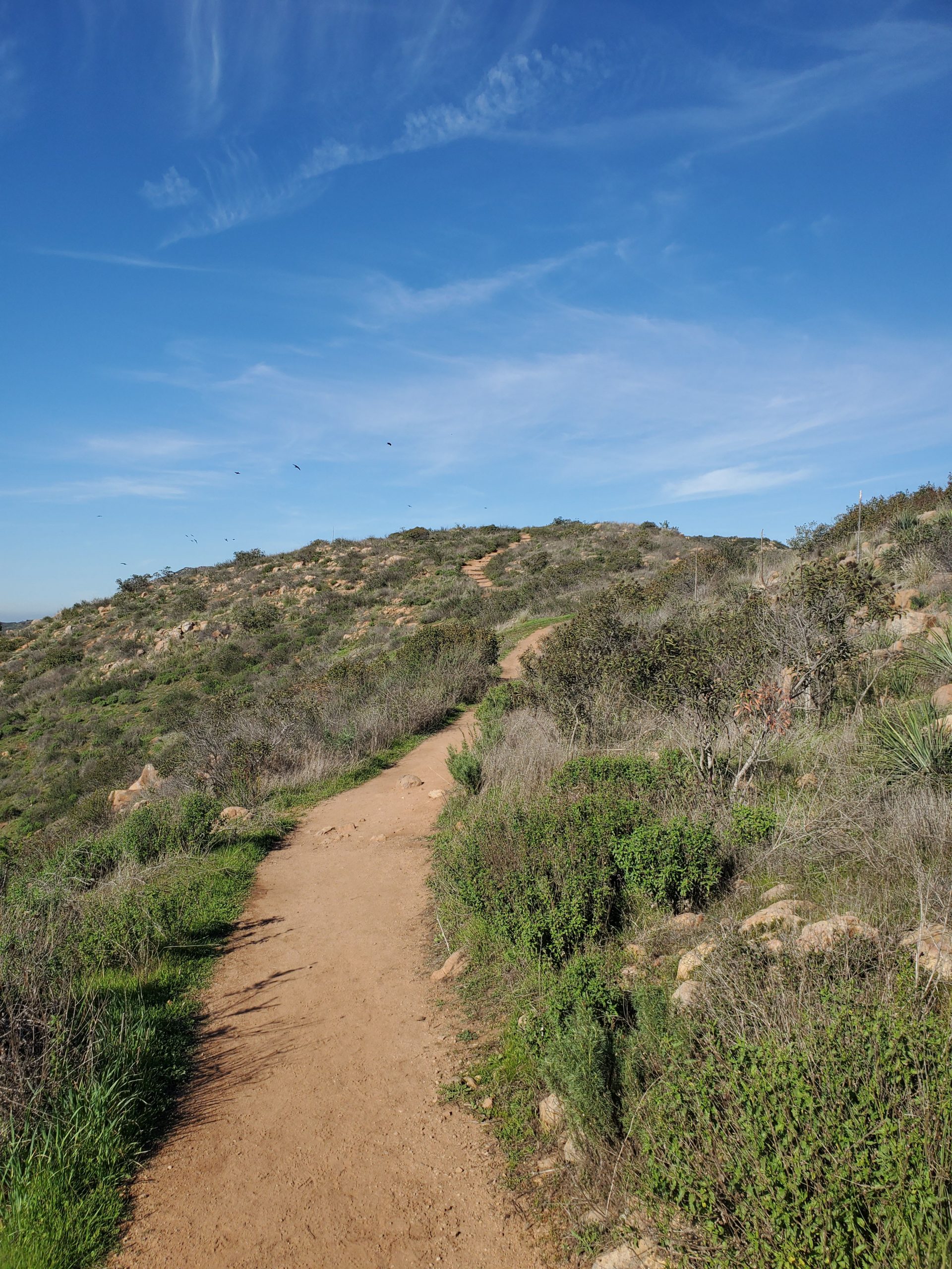
The trail will make a U-turn and start heading north up South Fortuna. At this point you will come to a staircase and the steepest part of the hike. At the 2 mile point of the hike there is a short amount of rock scrambling right before you reach a plateau.
However, at the plateau there is still another 0.4 miles to the summit. However, this final portion is not too steep.
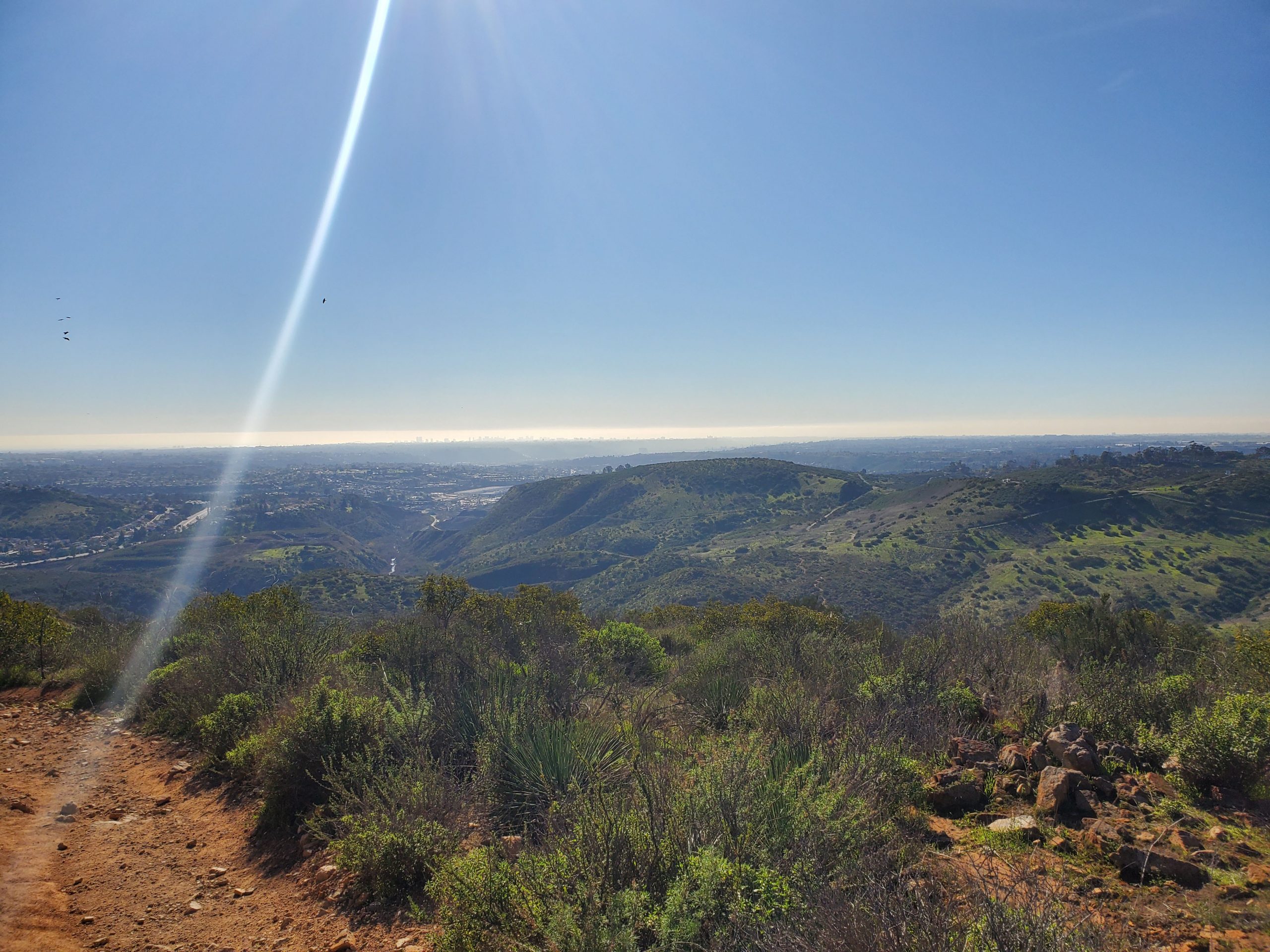
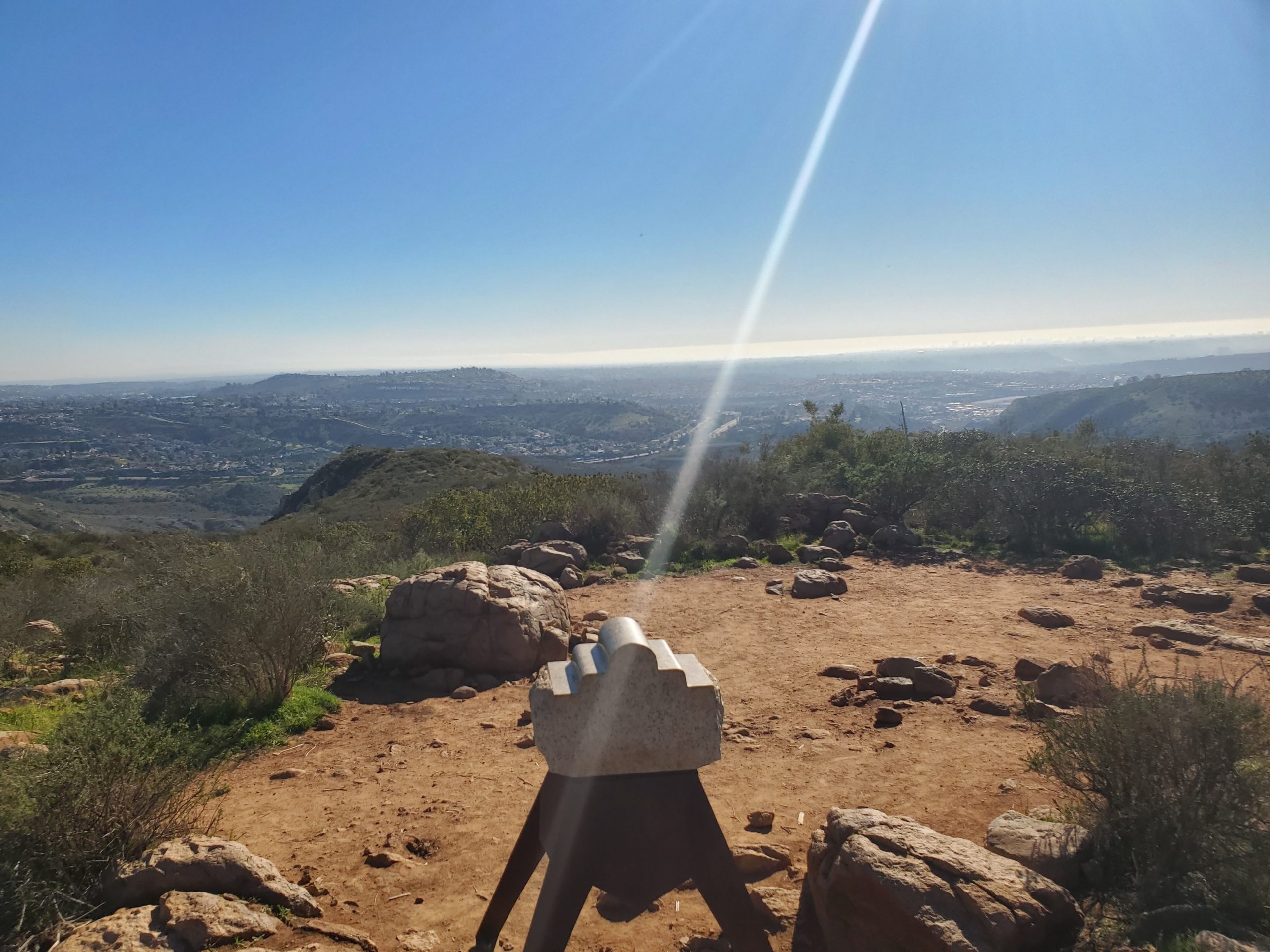
At the summit you can take a selfie picture for the 5-Peak Challenge. At this point you can go back the way you came. However, we like to do this in a loop. The loop goes down to the saddle trail that runs between South Fortuna and North Fortuna Mountain. You can check out our full loop hike for more details.
2 Comments
Comments are closed.