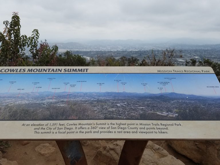
Big Bear Lake: Hiking Cougar Crest Trail
Among the many hikes in the Big Bear Lake area, Cougar Crest Trail provides great views of the area. While Cougar Crest Trail has a significant uphill climb, it is done over a steady pace. This is a fairly moderate hike that can be done with older children.
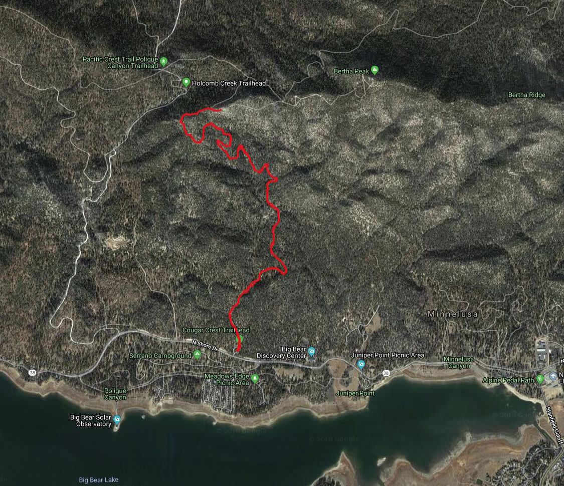
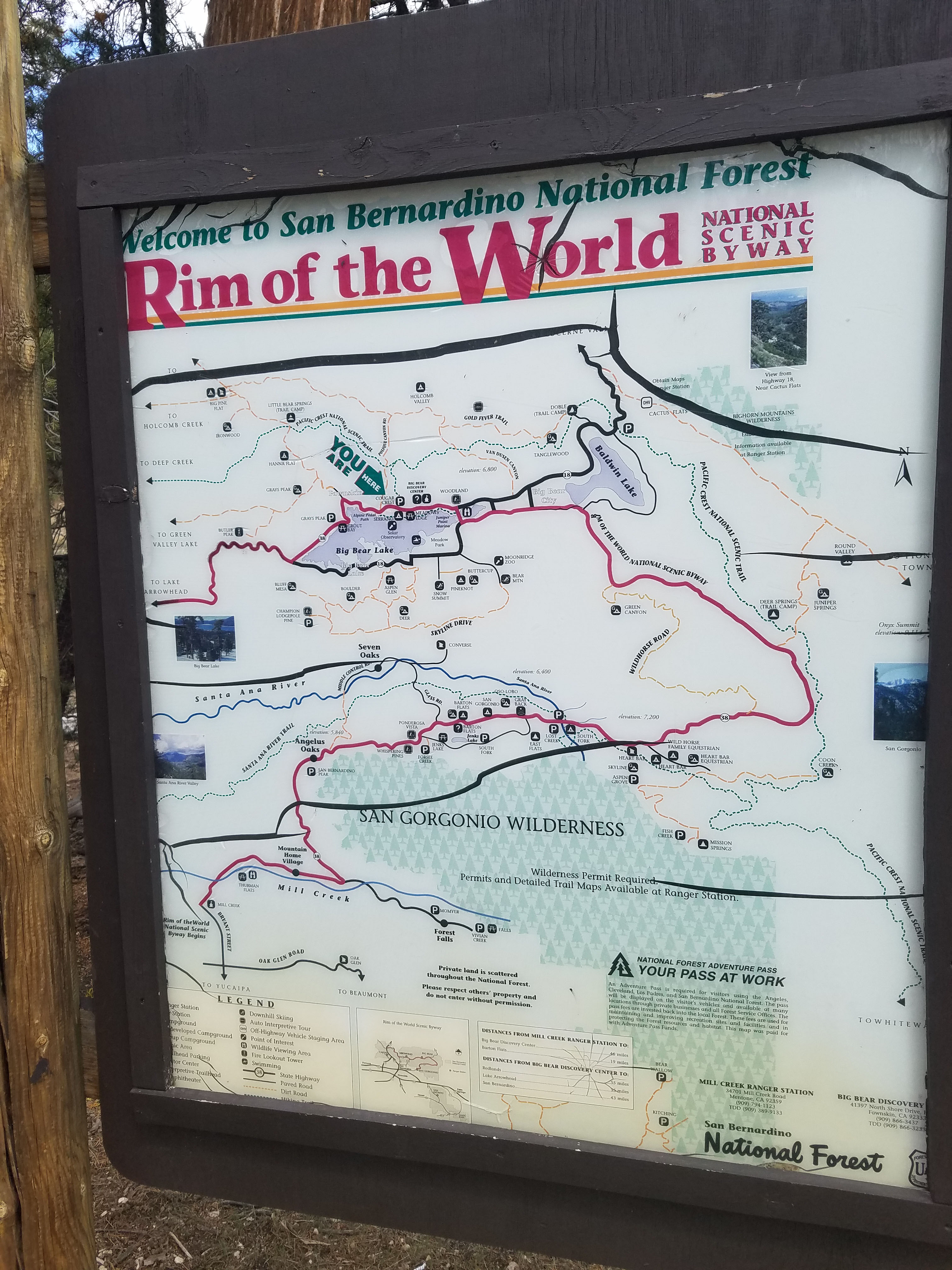
Cougar Crest Trail starts in Fawnskin, across the lake from Big Bear Lake and Big Bear City. The trailhead is about halfway between the dam and the bridge that crosses the lake at the other end. A little down the road is Woodland Interpretive Loop Trail and the Big Bear Discovery Center both of which provide a nice introduction to the area.
- Starting Point: North Shore Dr., Big Bear, CA 92314
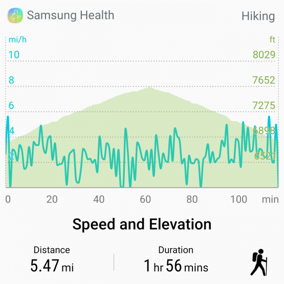
- Length: 5.5 miles
- Elevation: 900 ft gain and loss
- Type: Out-and-back
Cougar Crest Trail has a nice parking area, complete with facilities. Like most hikes in the San Bernardino National Forest you need an Adventure Pass. These passes cost $5 a day or $30 a year. You can purchase them at most gas stations and 7-11 stores in the Big Bear area. You can also get them at the Big Bear Discovery Center right by the trailhead.
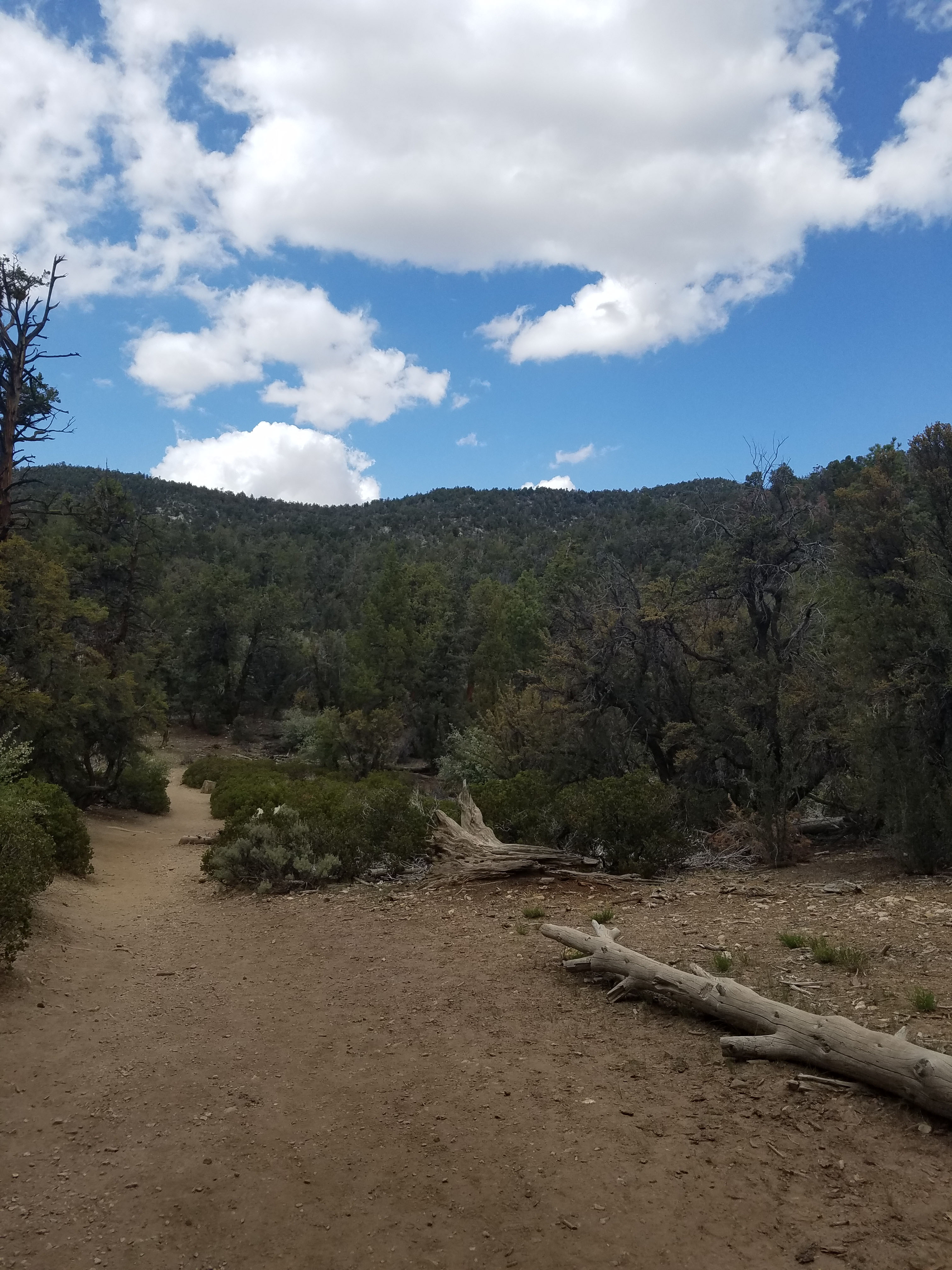
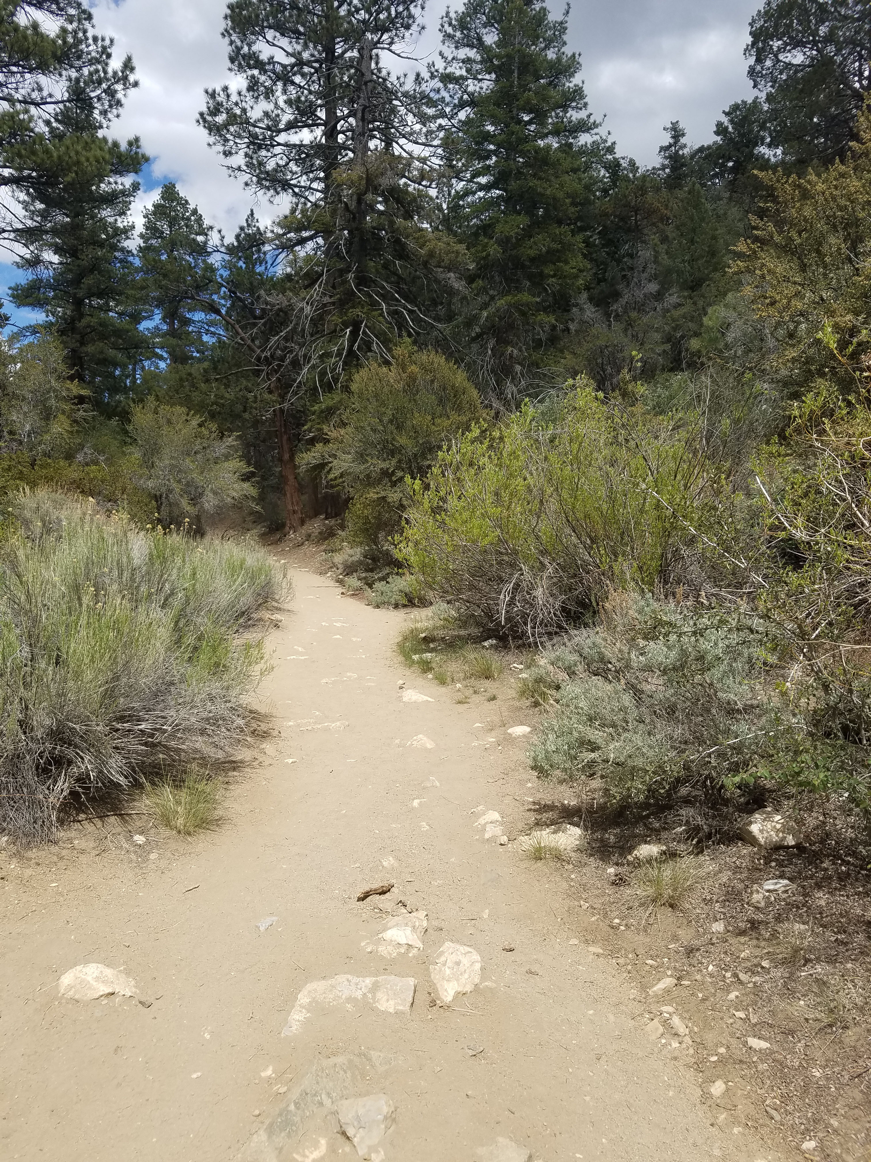
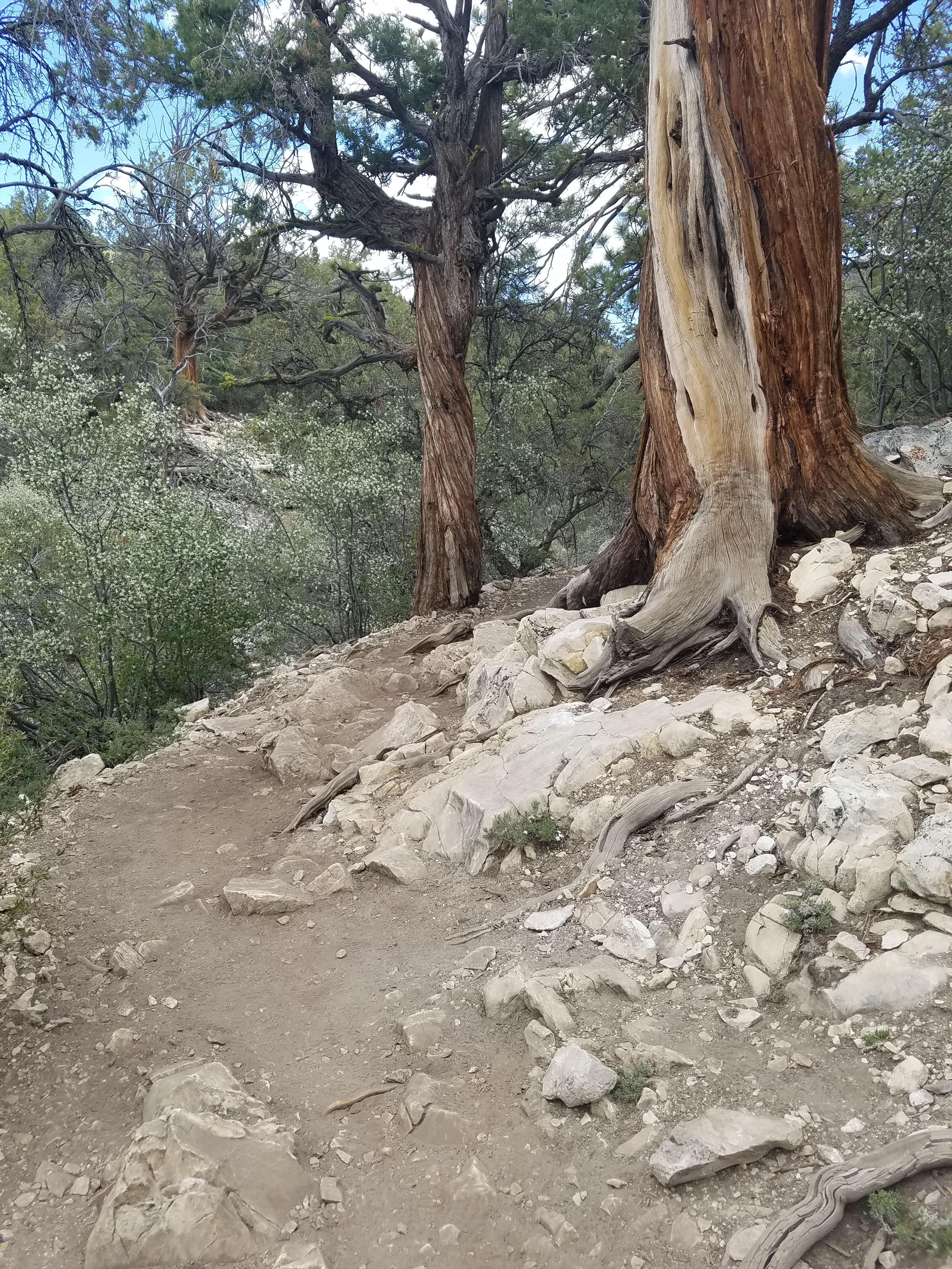
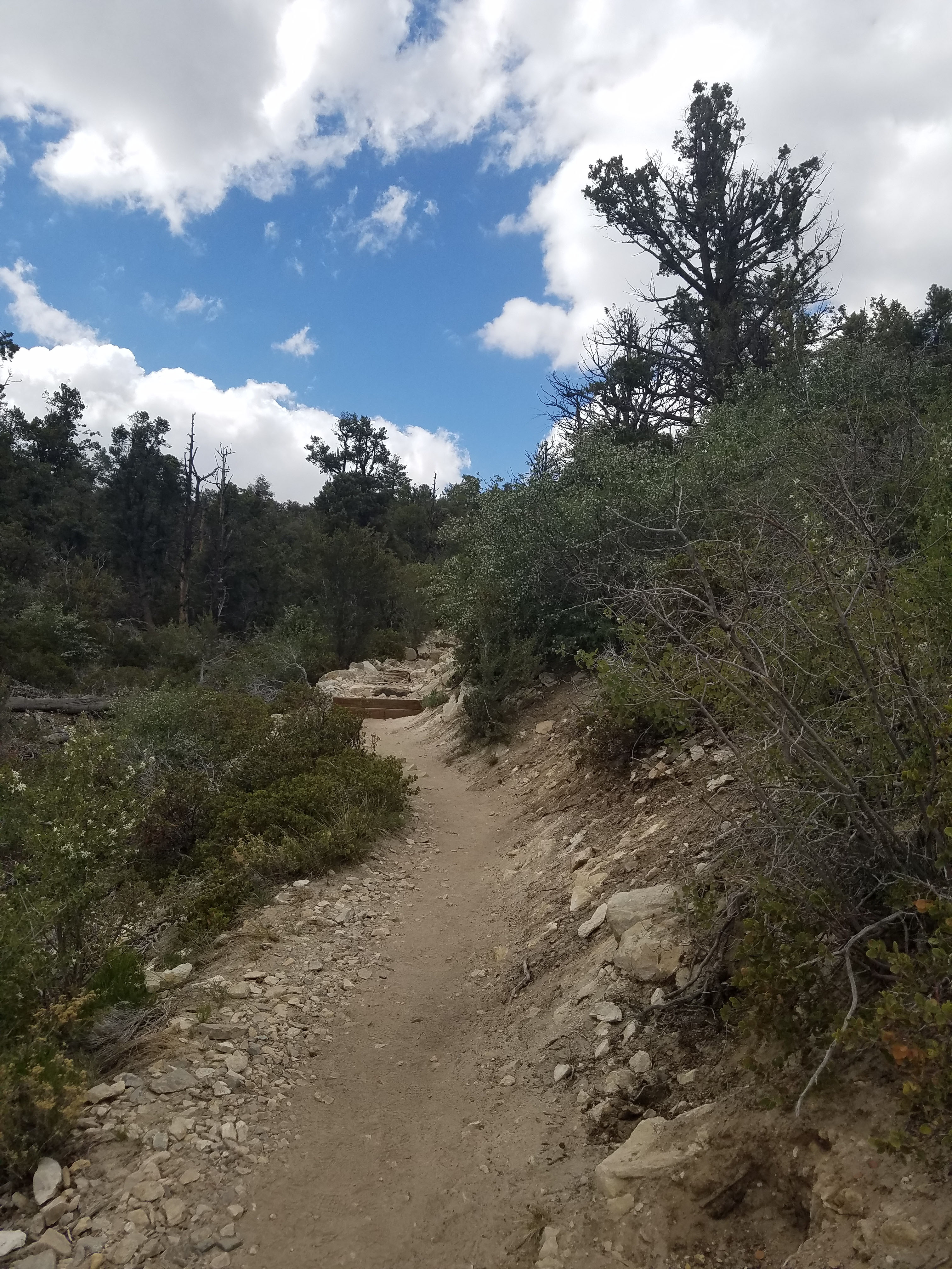
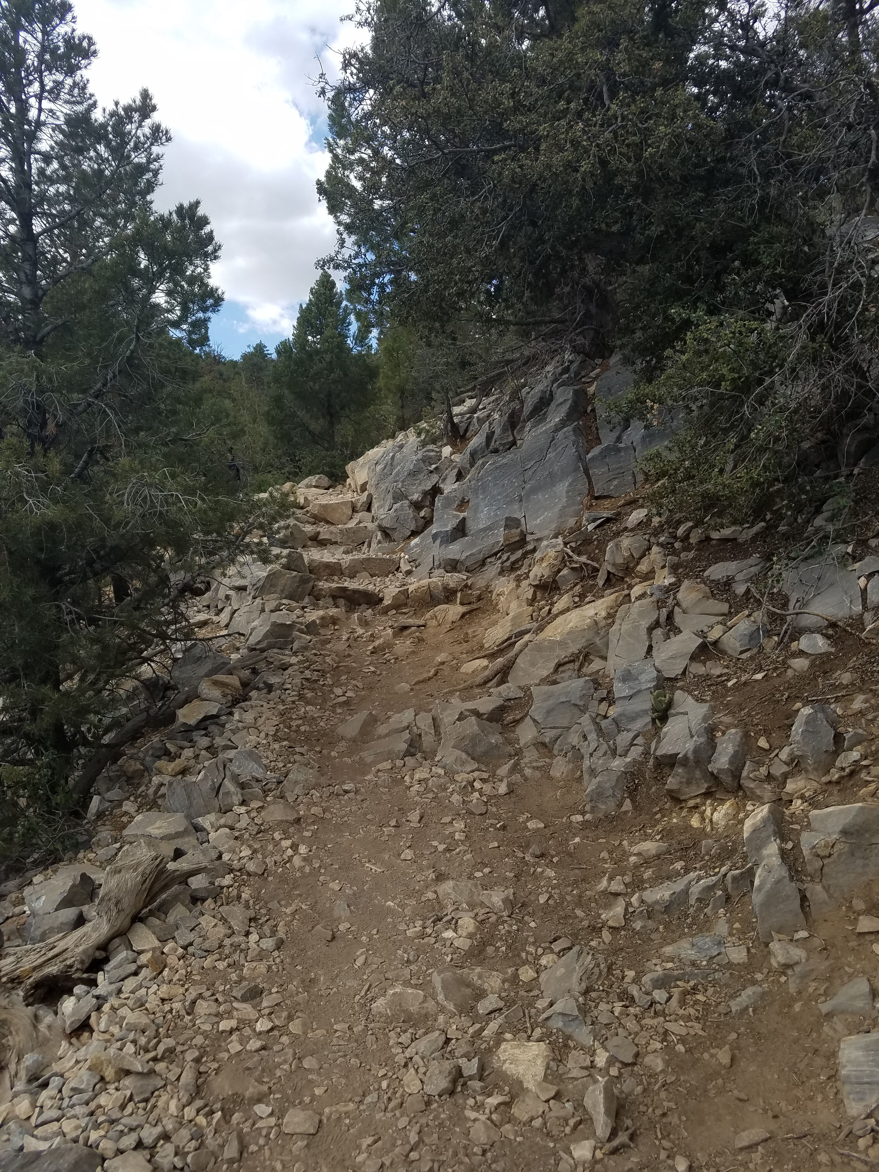
The first part of the trail is fairly flat. Shortly in you will see on old mining operation off to your right. The actual climbing portion does not really start in earnest until about a mile into the hike. Even as it starts to climb the trail is not very steep. Possibly the hardest part is getting used to the 7000-foot elevation.
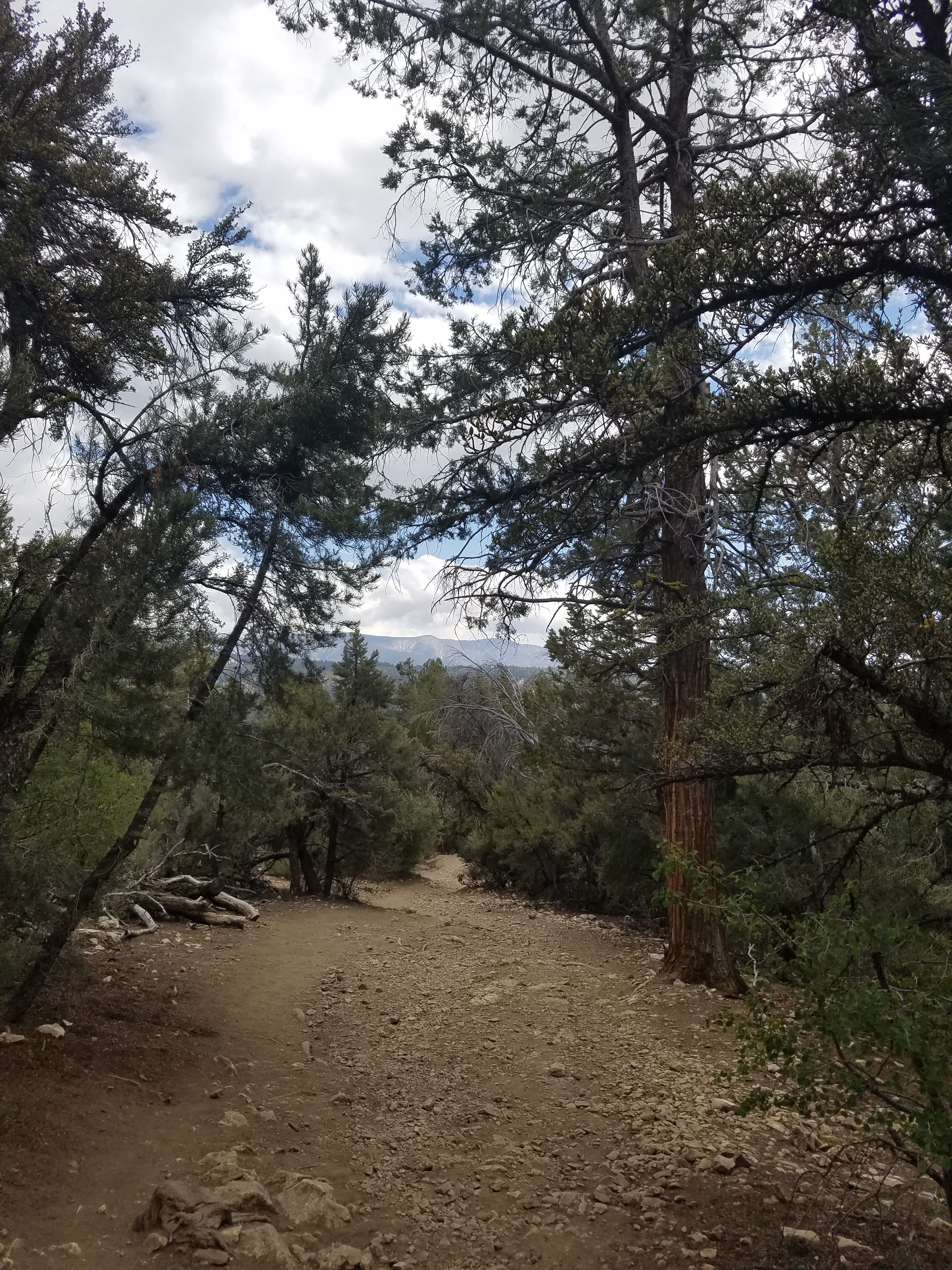
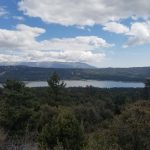
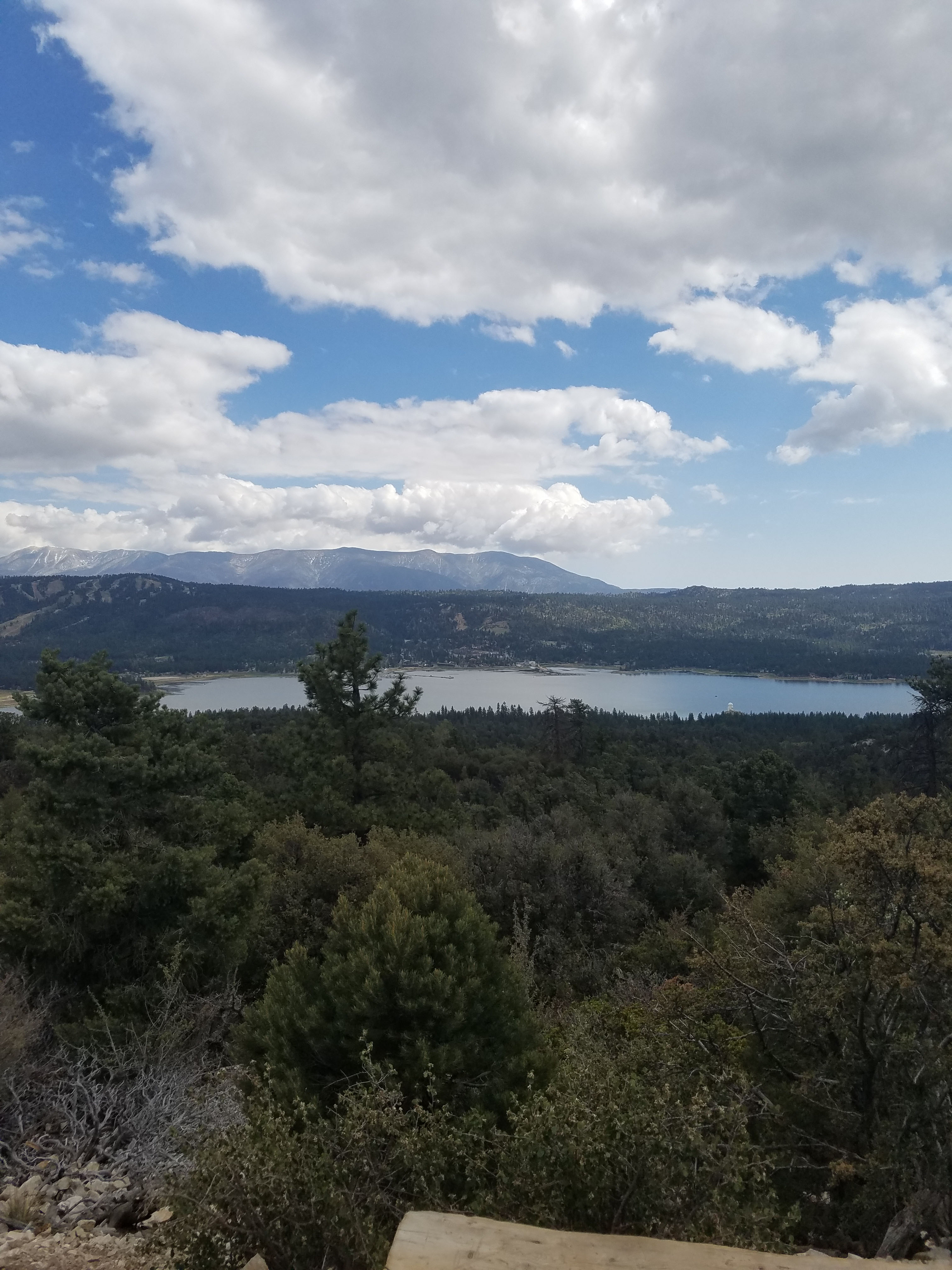
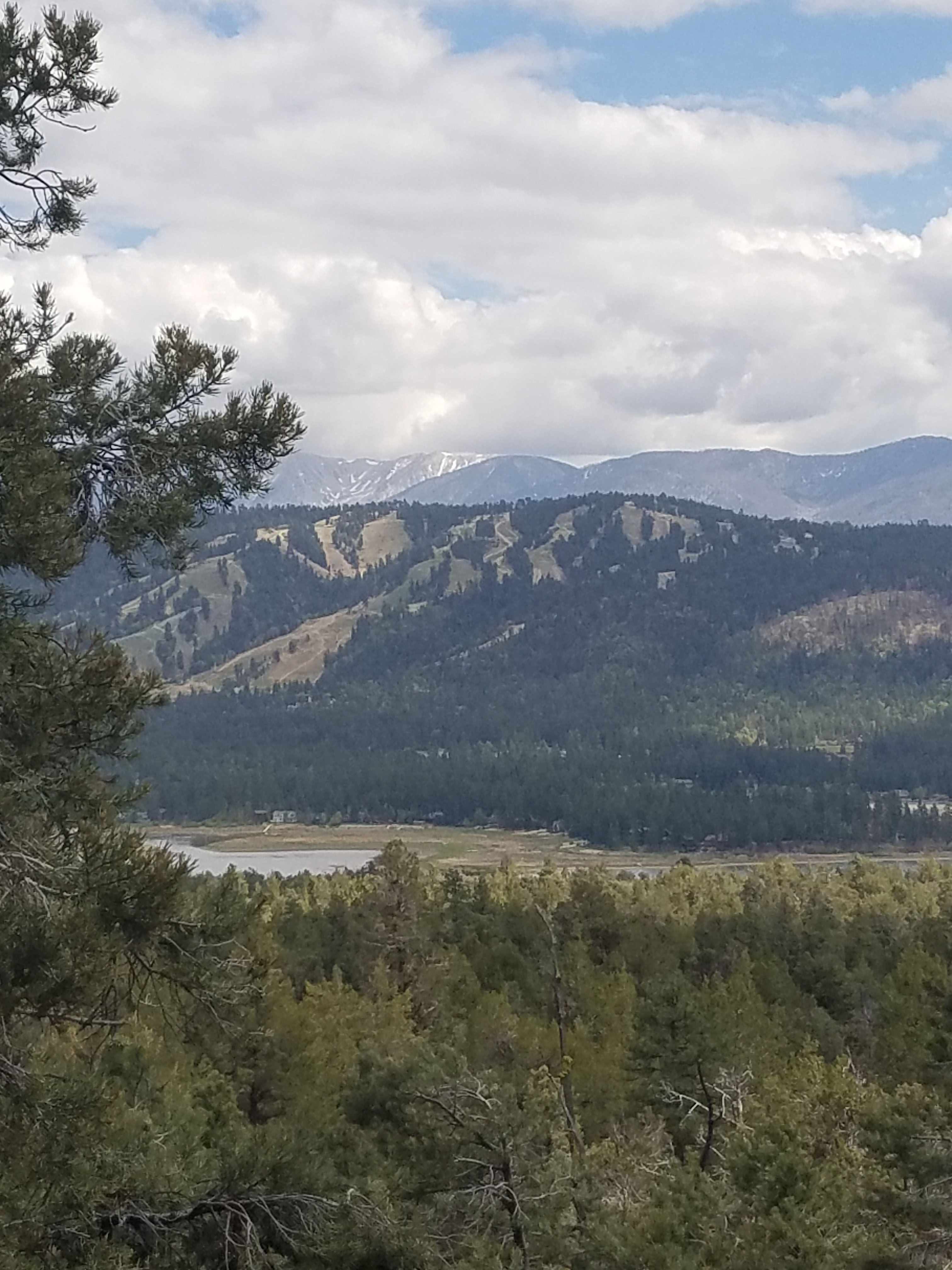
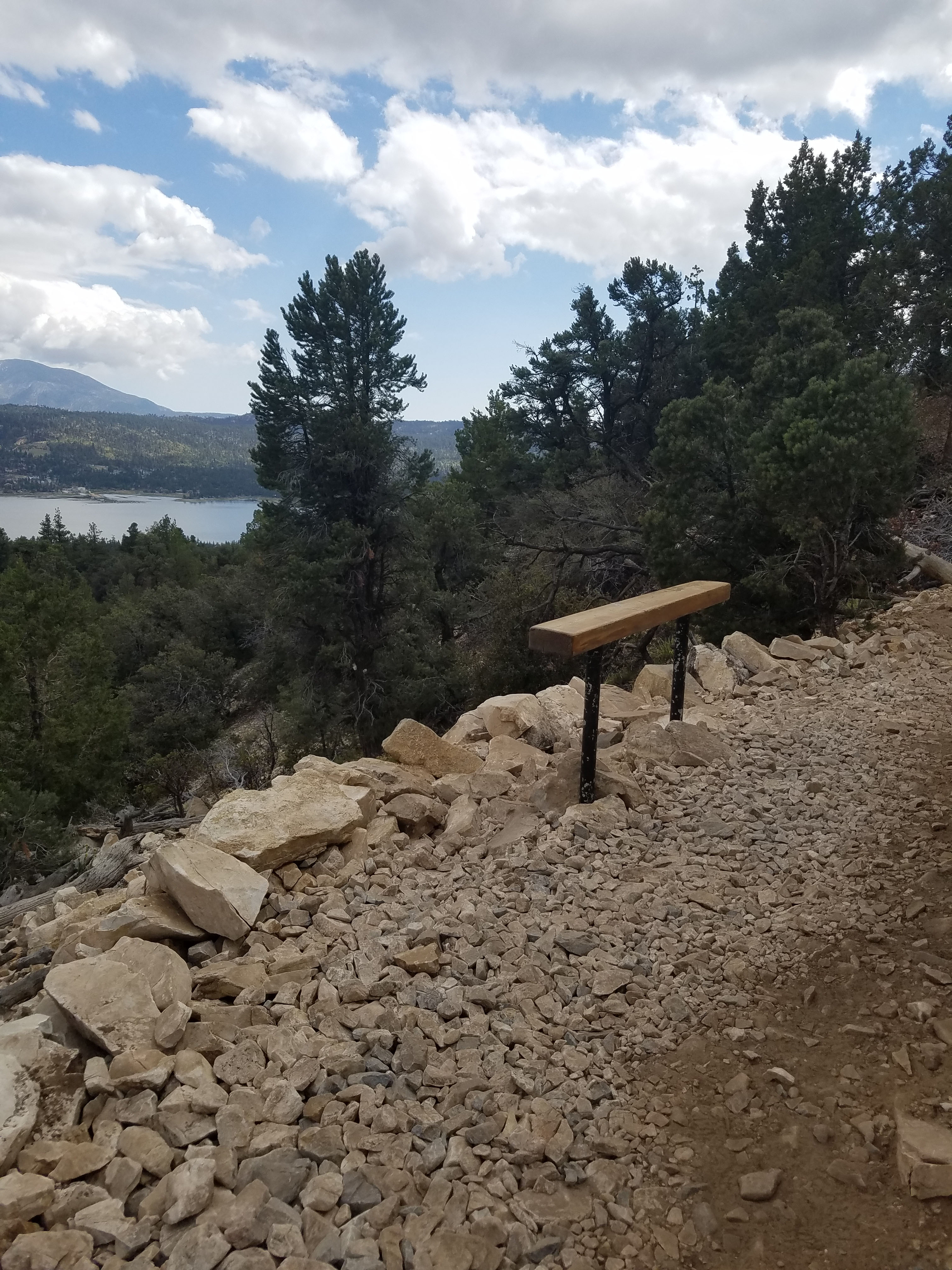
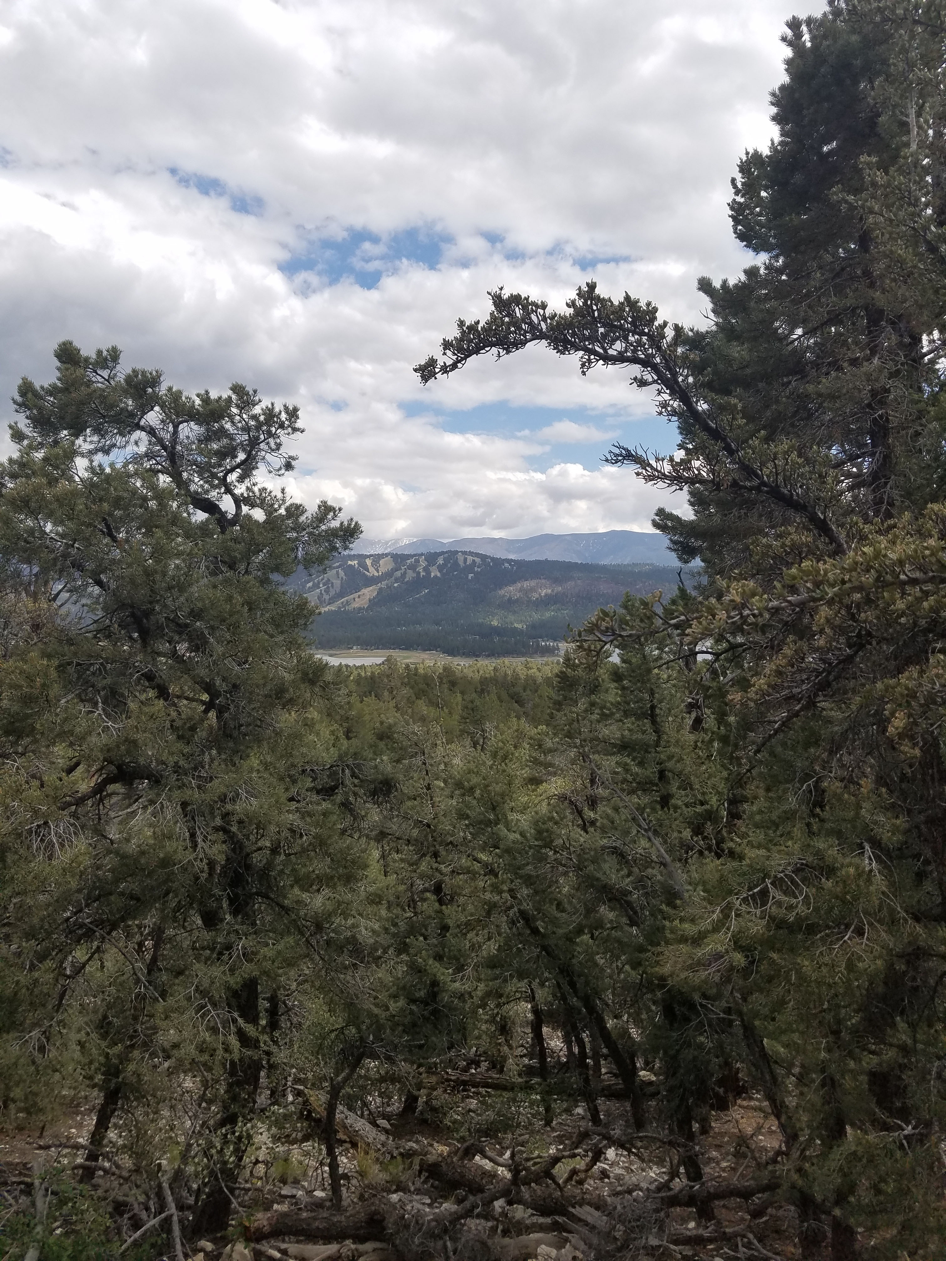
Along the trail there are several areas with benches that provide a great vista to the south. You can see all of Big Bear Lake, the ski resorts of Snow Summit and Big Bear Mountain, and further to the south the mountains of the San Bernardino range that rise to over 11,000 feet. At 11,500 feet San Gorgonio Mountain is the highest in Southern California.
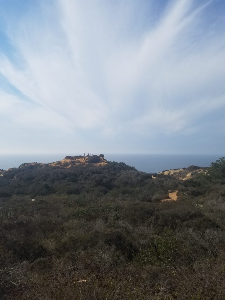
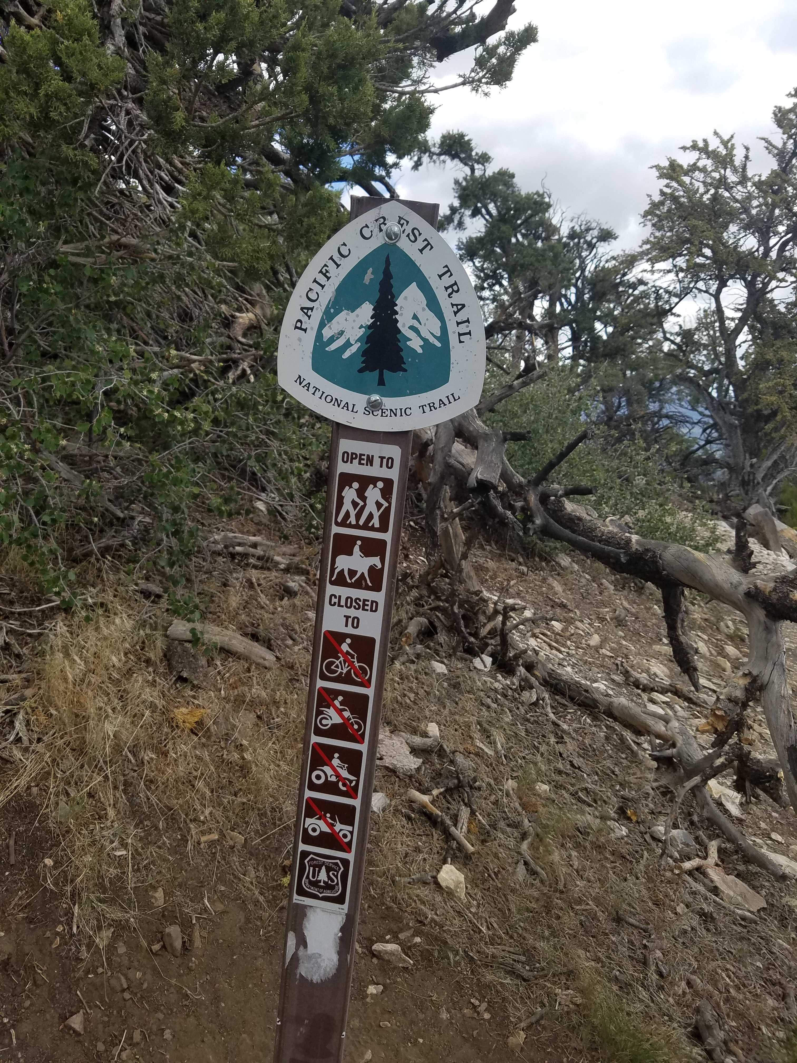
Our hike goes to the Pacific Crest Trail. The sign at the trailhead indicates this was only 2 miles away but according to our GPS it was 2.7 miles. The Pacific Crest Trail is an epic trail that goes from Mexico to Canada. One time we met a group of hikes at the junction with Cougar Crest Trail that were one month into a hike that started in Mexico. They planned to make it to Canada in another 4 months.
At this point, we turned around to make it a family-friendly hike. If you are feeling adventurous you can continue hiking the PCT or several other trails in the area. To climb even higher you can take the trail to the east where it turns off for Bertha Peak. This will add another 500 feet elevation gain and an additional 3-mile round trip.
For more hikes in the area see our guide here. If you want a closer view of the mountains to the south consider doing the Pine Knot Trail to Grand View Point hike.