San Diego Hikes: La Jolla Heights Open Space Preserve
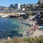
La Jolla is a village within the city of San Diego noted for its wonderful views. There are plenty of beachside hikes which we have done, such as our downtown La Jolla loop. A completely different perspective can be gained by taking a walk through the relatively unknown La Jolla Heights Open Space Preserve. Our short hike through La Jolla Heights Open Space Preserve towards the top of Mt. Soledad provides wonderful views of La Jolla village and the ocean.
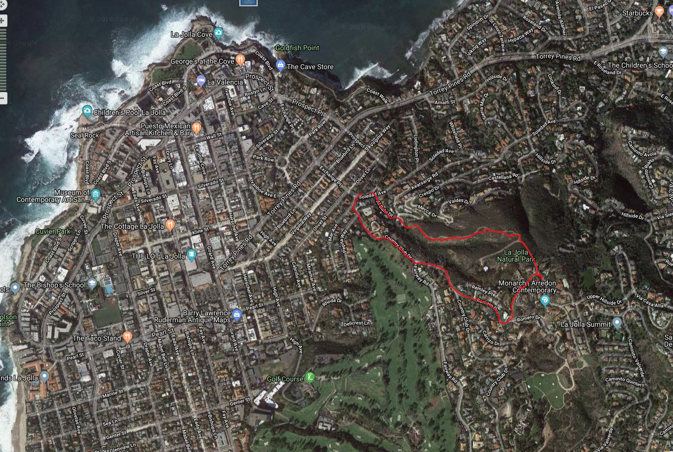
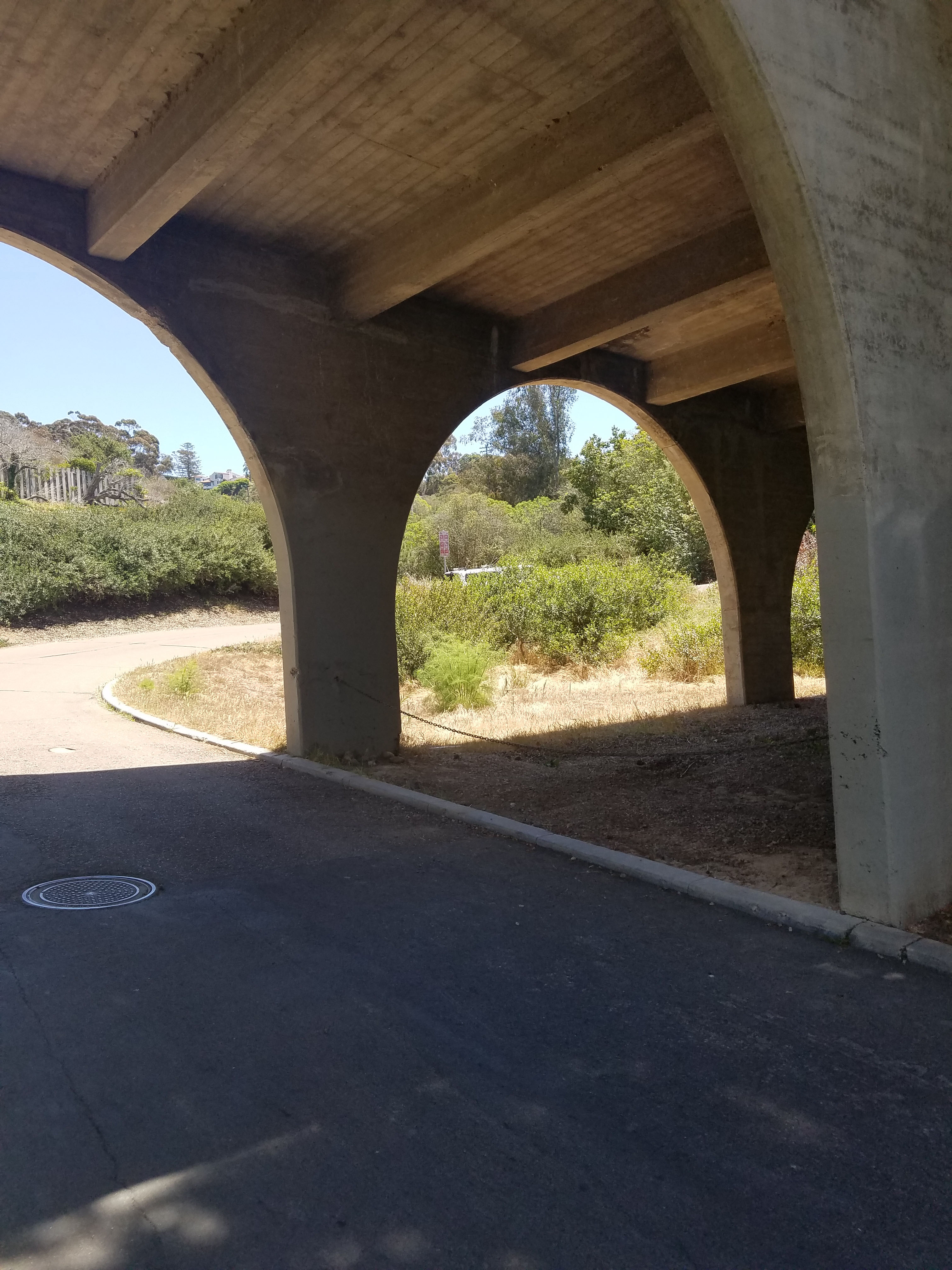
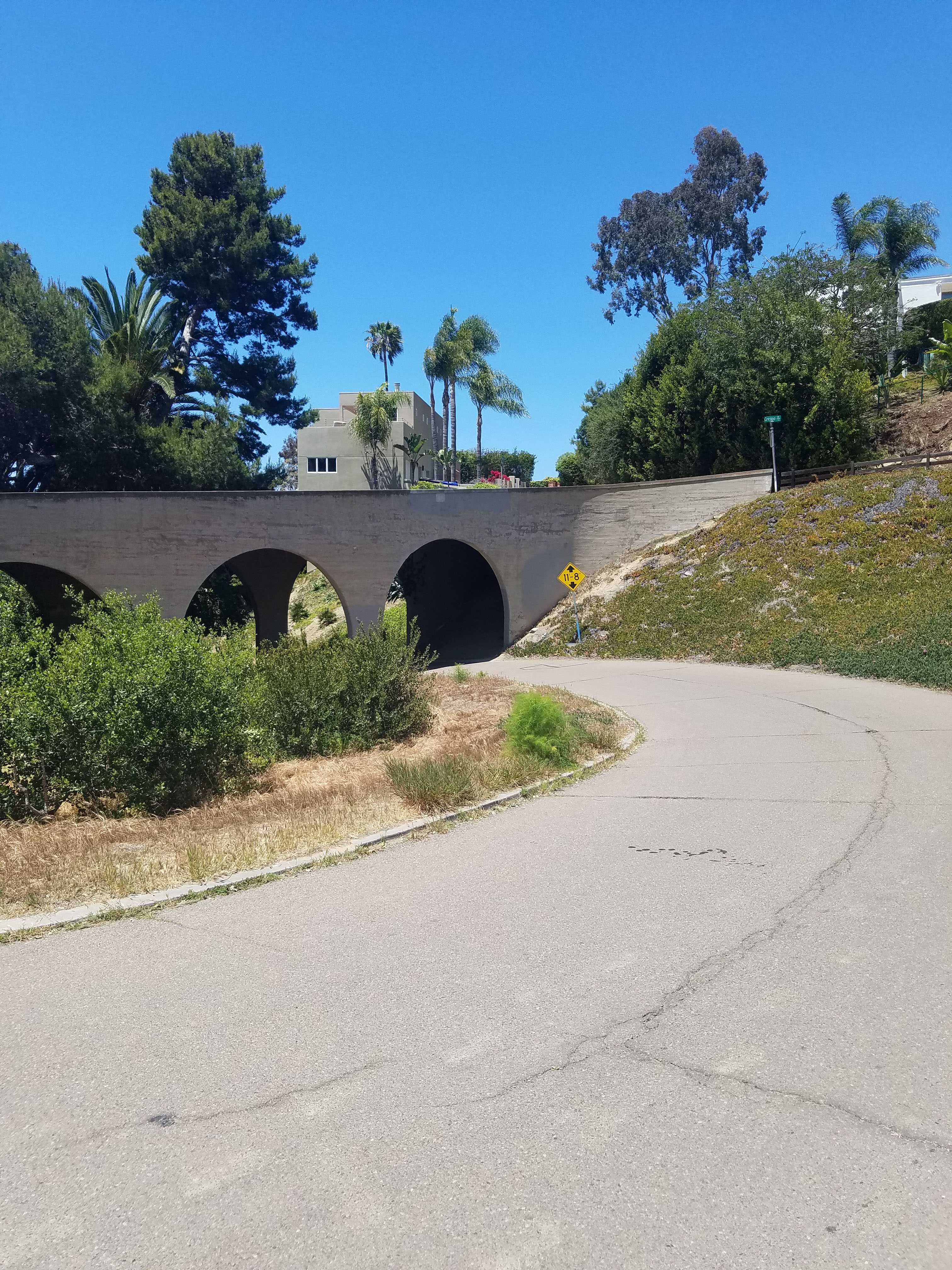
- Starting Point: by bridge at loop on Al Bahr Dr. Parking at intersection of Al Bahr Dr and Soledad Ave.
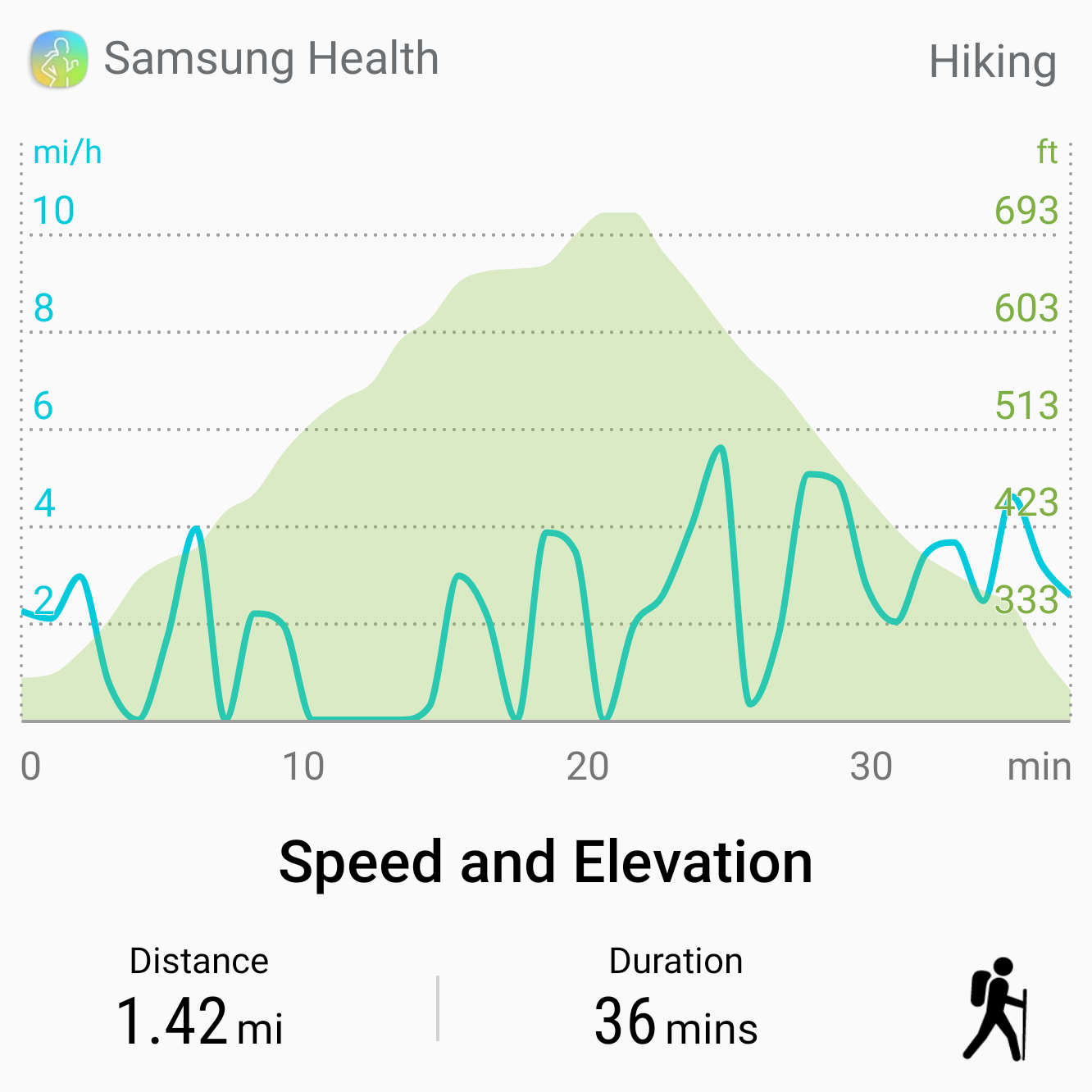
- Length: 1.5 miles
- Elevation: 400 ft gain and loss
- Type: Out-and-back or Loop
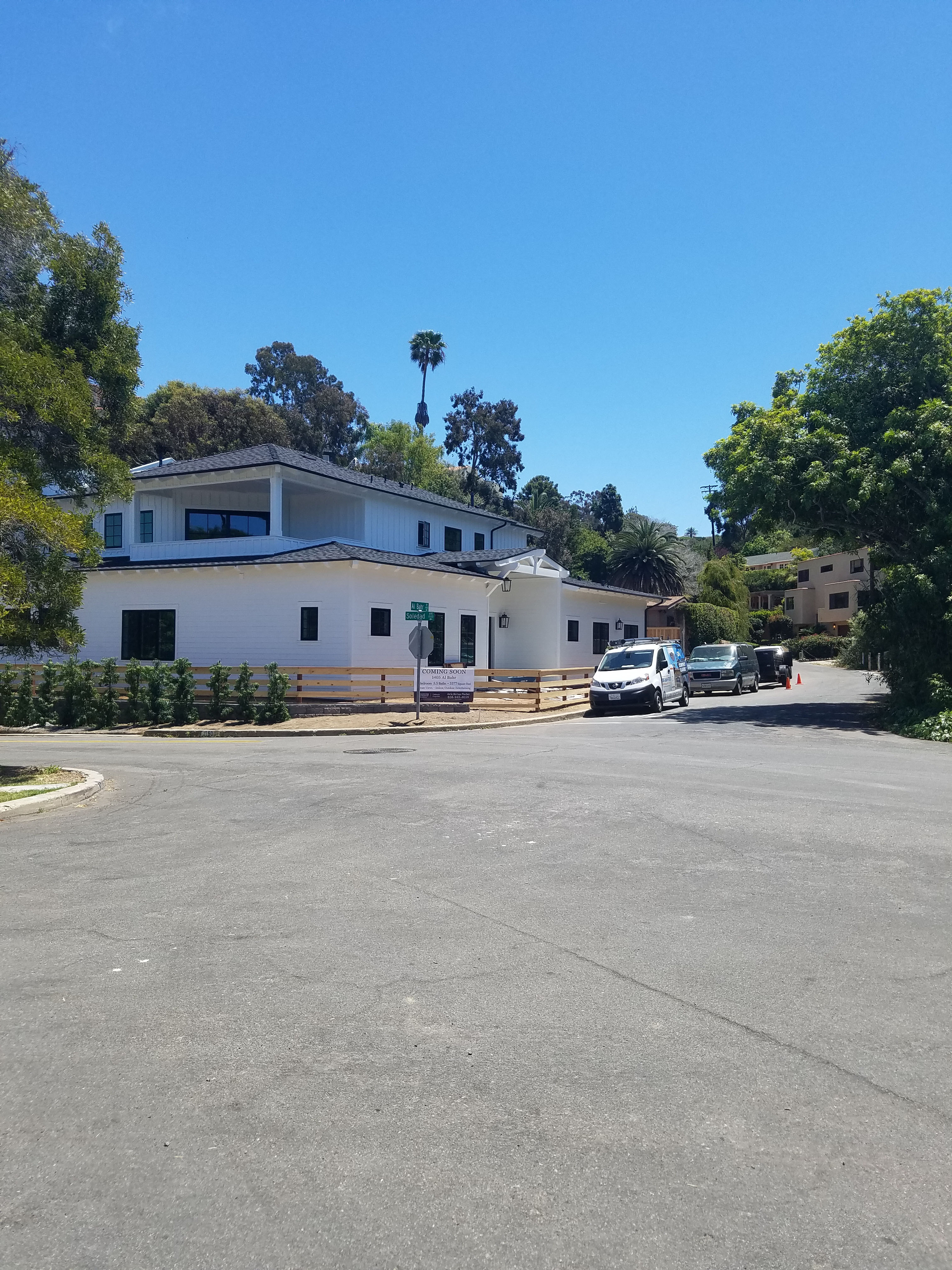
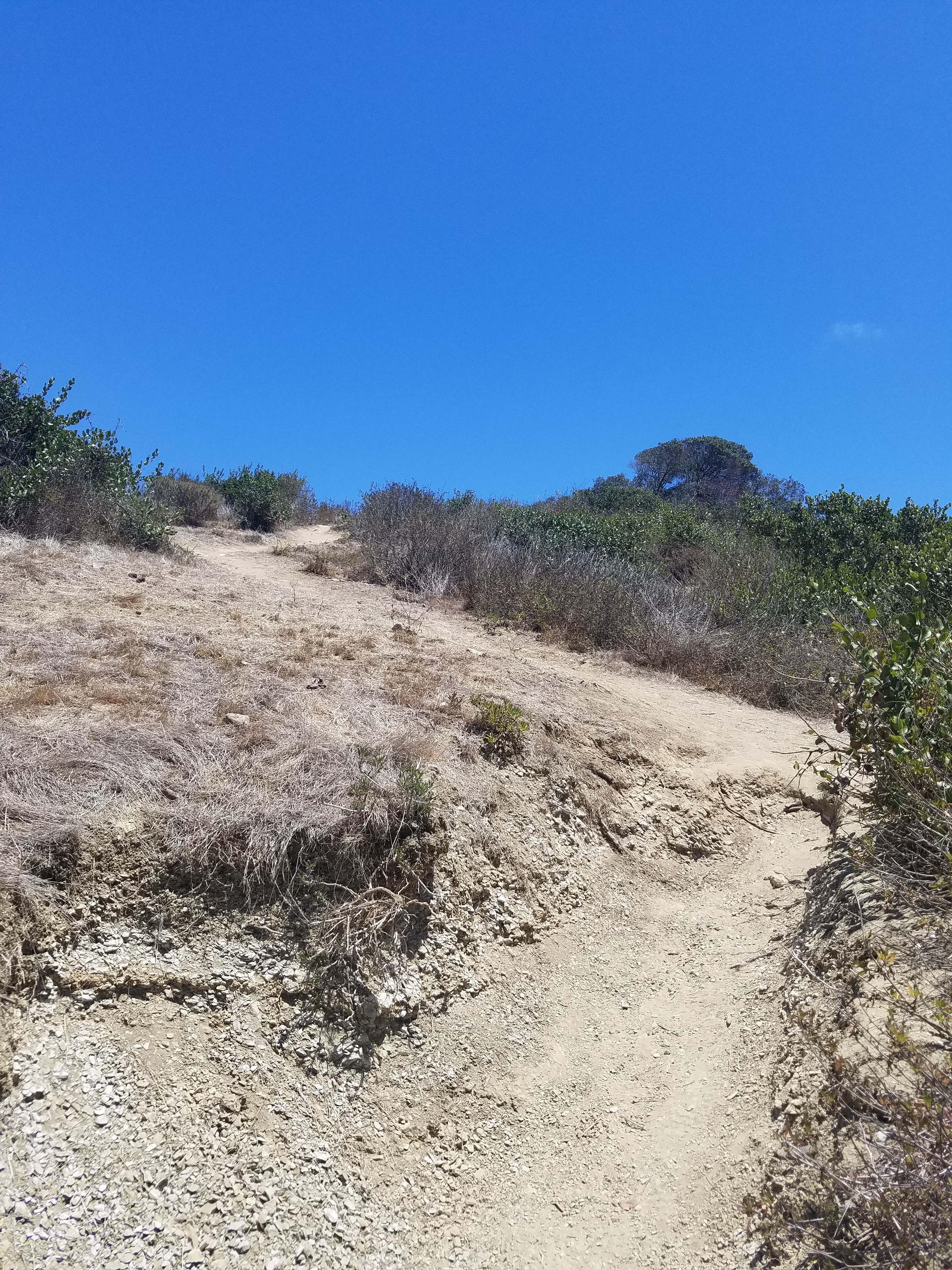
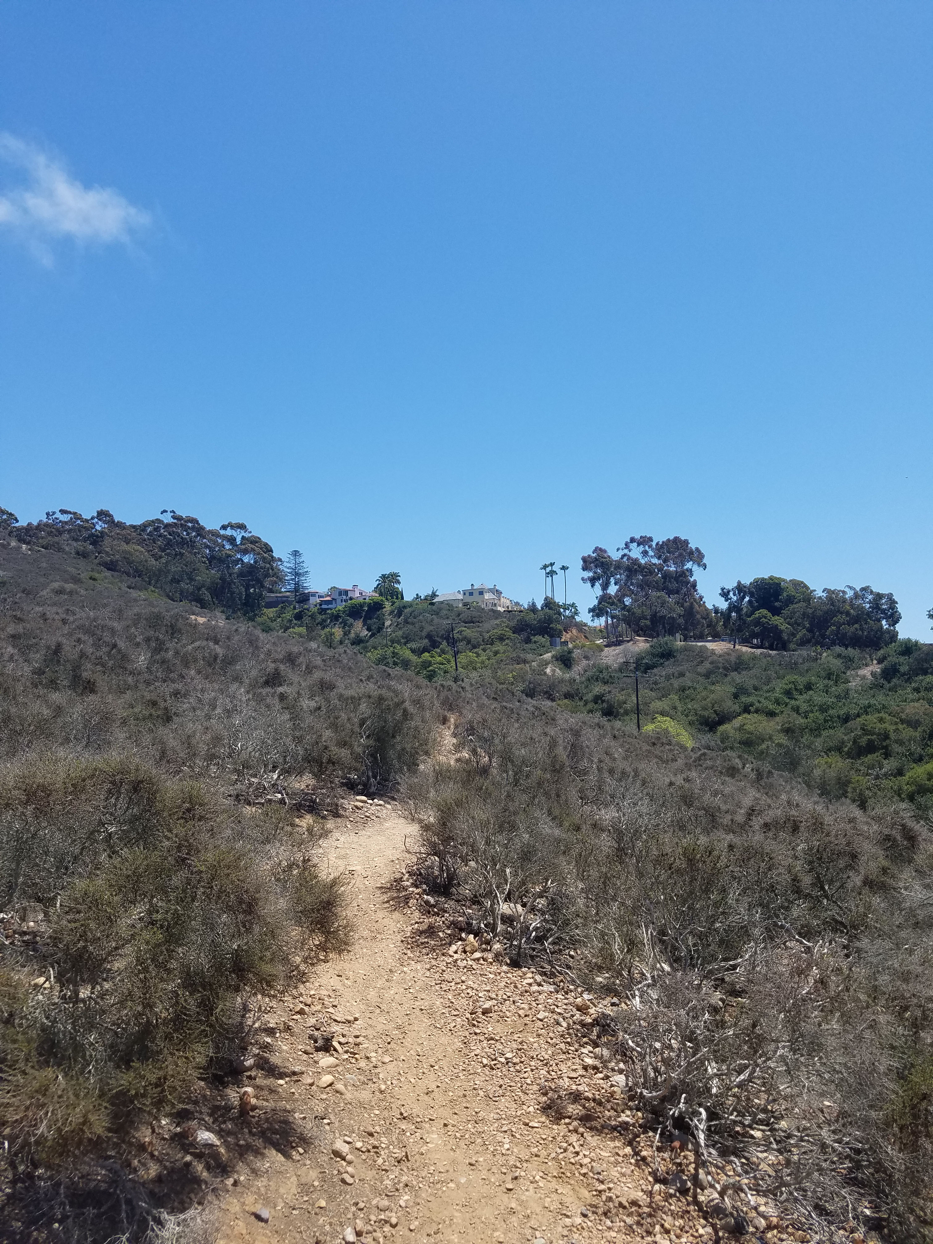
This hike starts at the bottom on Al Bahr Dr where the road makes a clearly defined O-loop heading up the hill. The trailhead is clearly marked in the center of the loop right before the bridge. However, there is no parking at the bottom so you need to start your walk several blocks away. I like to park at the corner of Al Bahr, Soledad Ave and Cowrie Avenue.

This is an out-and-back trail but you can also do it as a loop along the road. If you want to start the hike in reverse there is some limited parking at the top, near the corner Brodiaea Way and Encelia Dr (around 7333 Encelia). Personally, I like the feeling of hiking up a hill. I always start at the bottom.
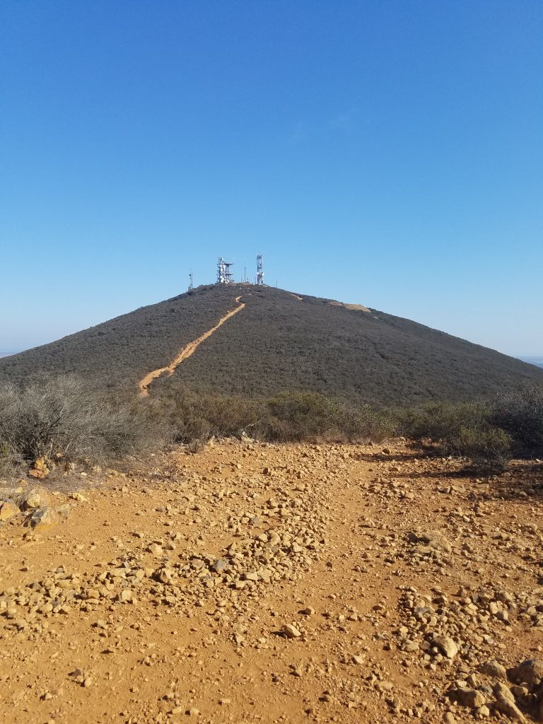
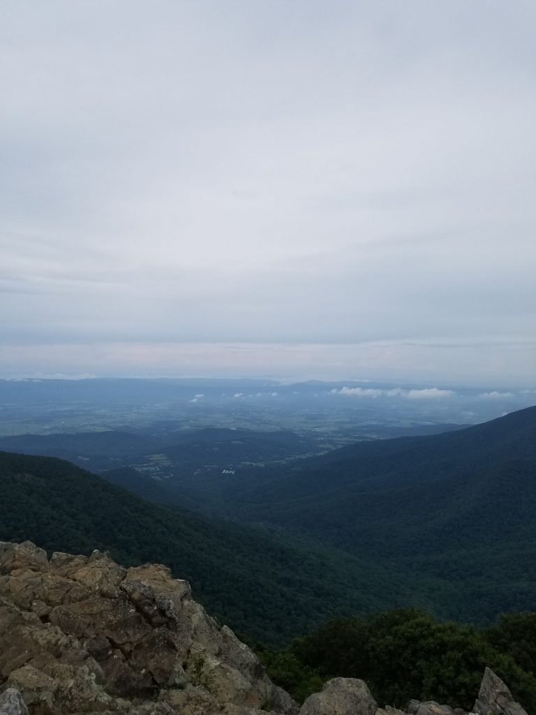
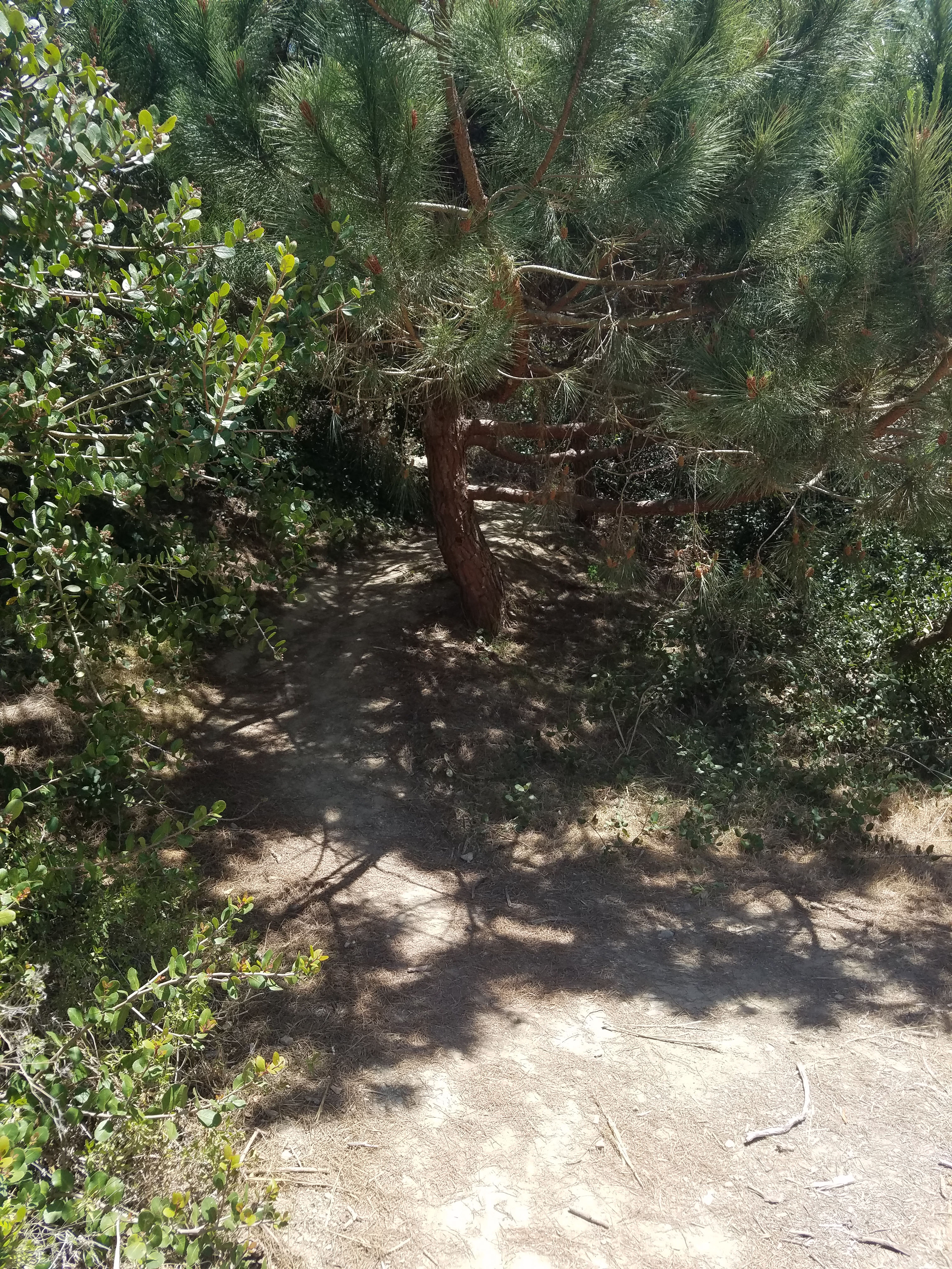
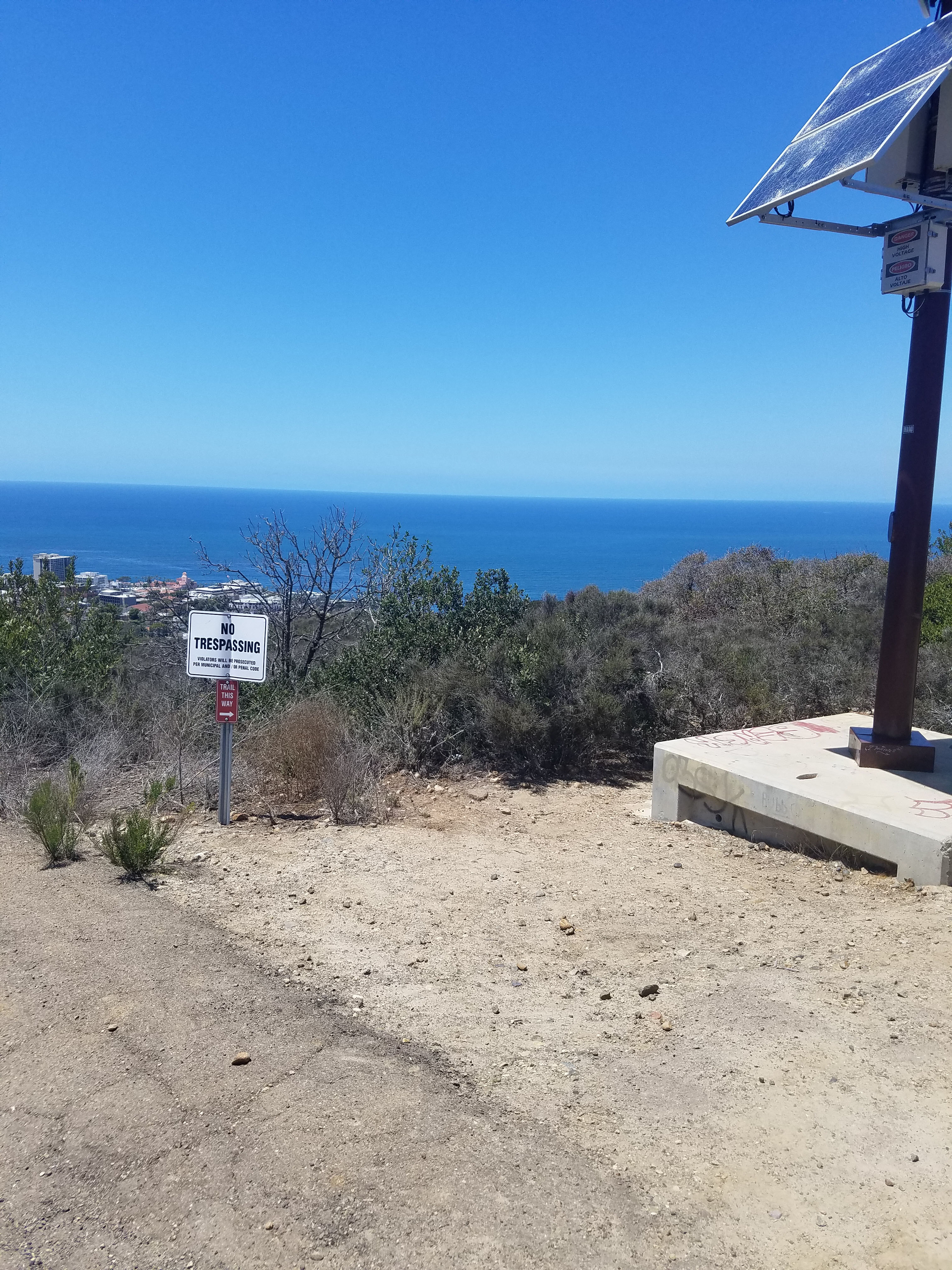
The trail starts to climb immediately through some brush. However soon you are into open space with very few trees and a great view below. La Jolla Heights Open Space Preserve is a small 42-acre area that provides a great view of what the area looked like before human settlement.
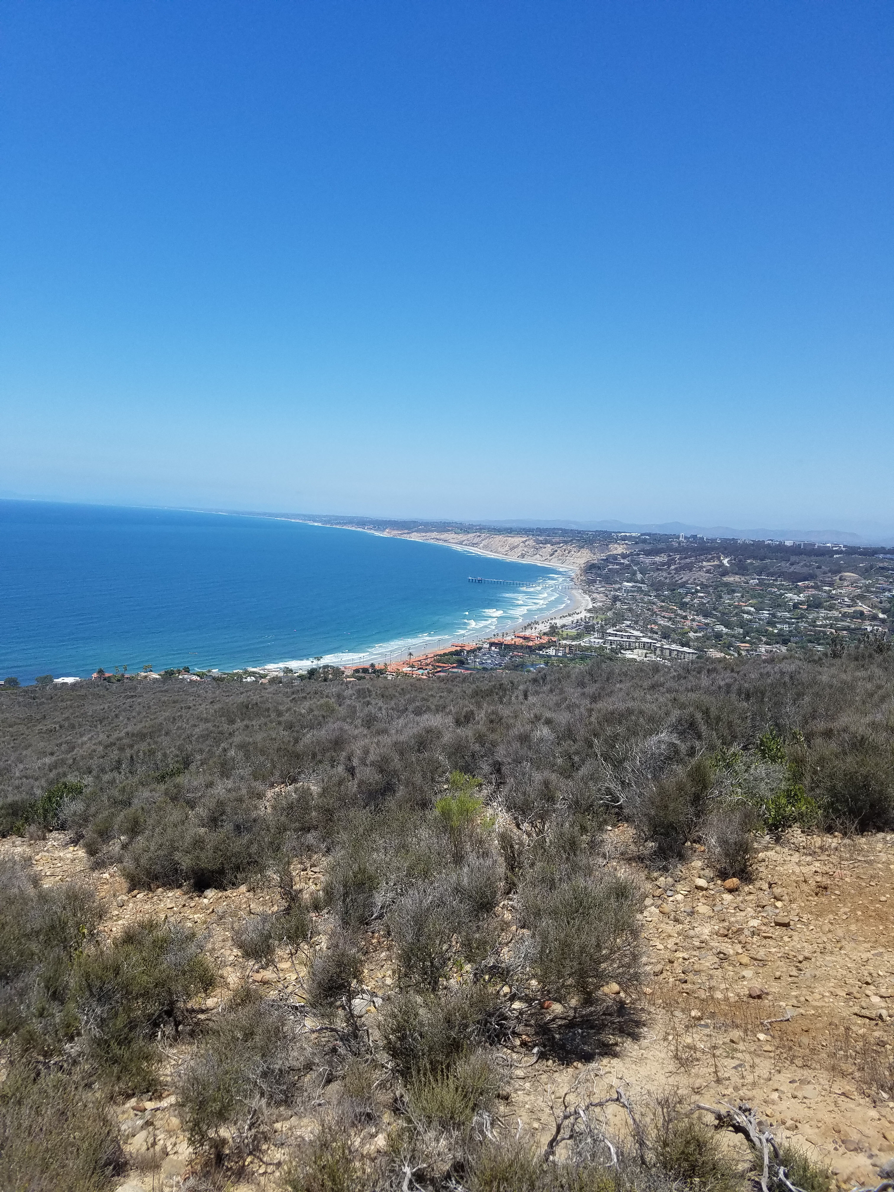
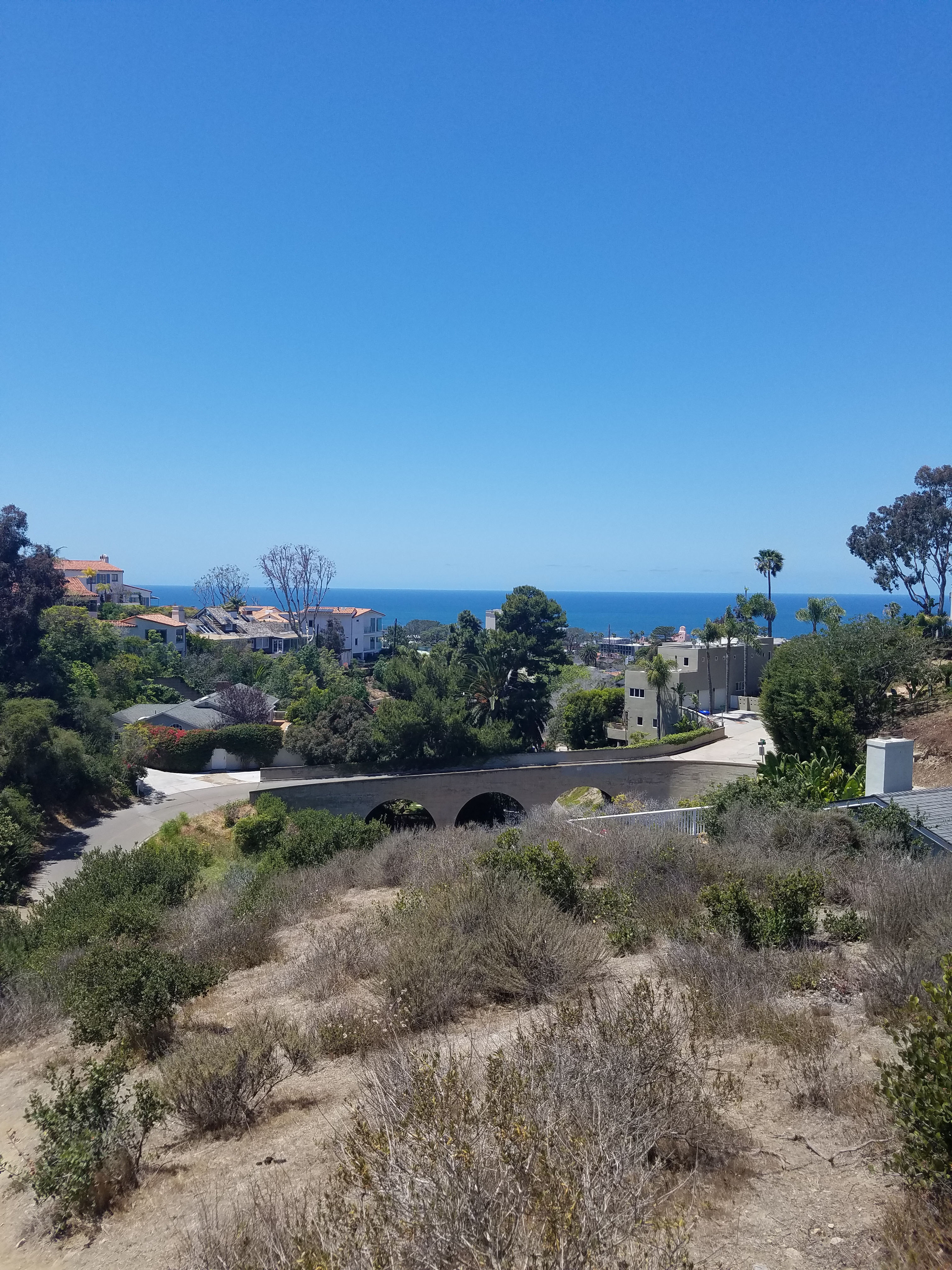
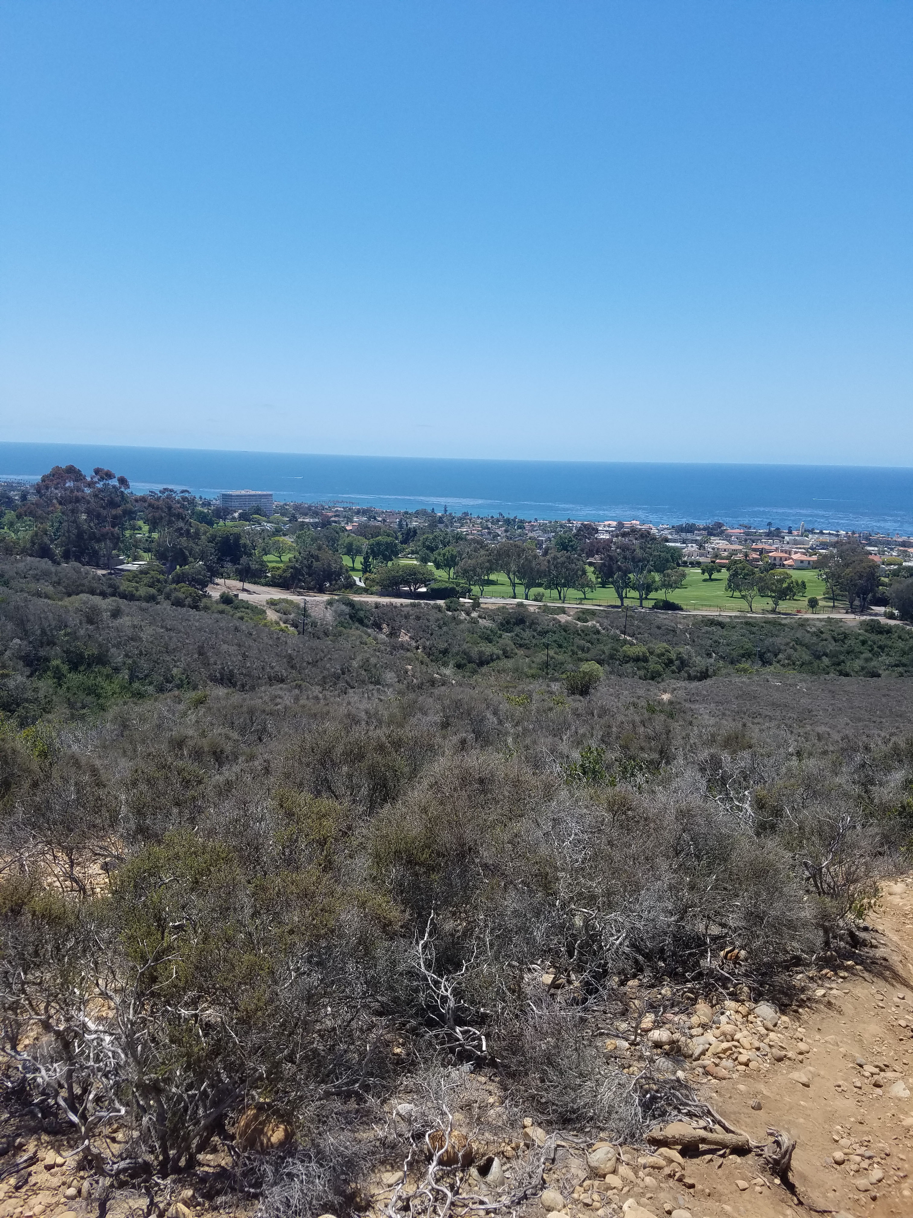
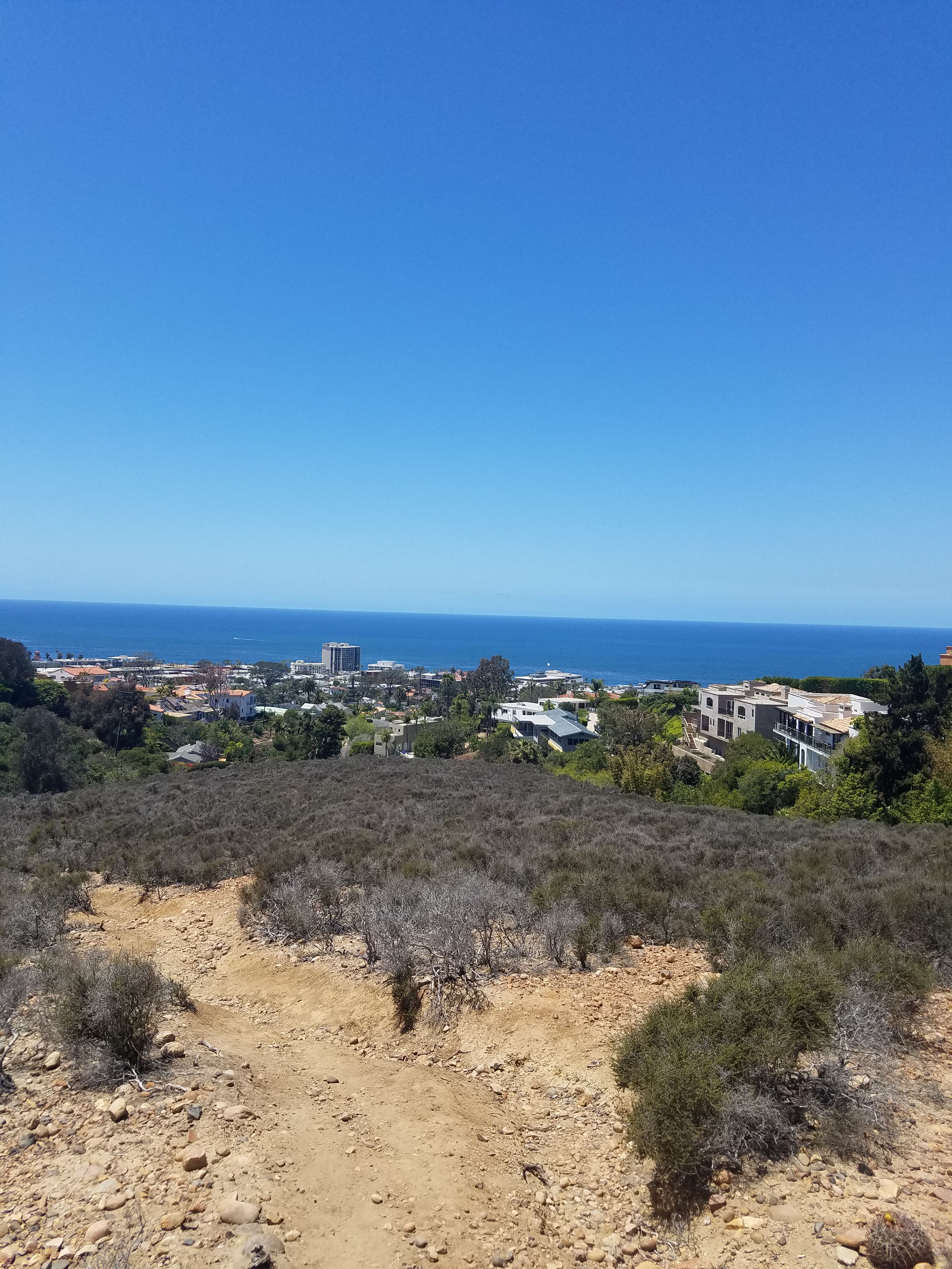
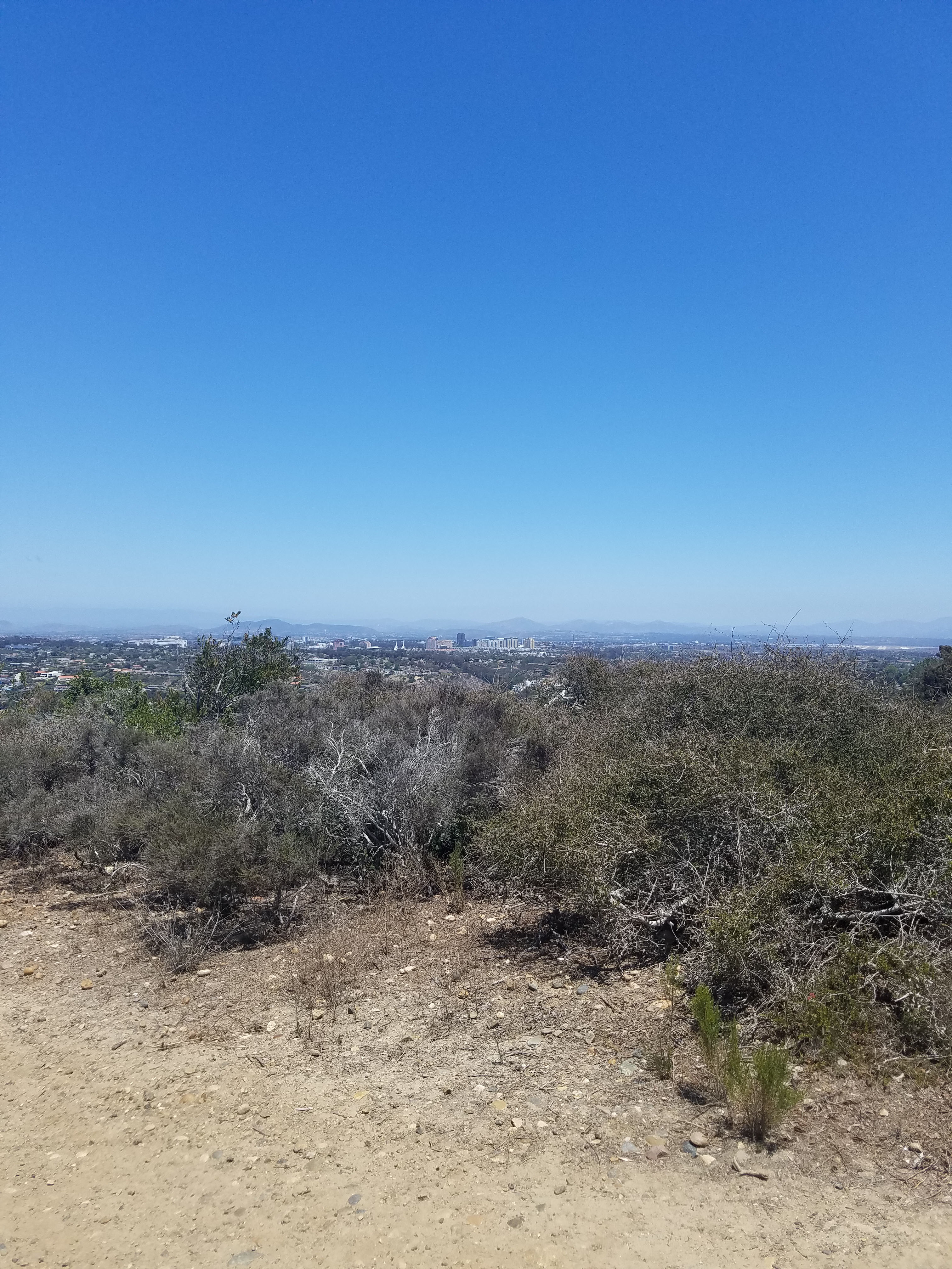
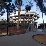
Looking straight down you can see all of La Jolla Village to the Pacific Ocean. On your right, as you climb, is the exclusive La Jolla Country Club golf course. On your left, you can look down on La Jolla Shores and further up the coast get a great view of the Torrey Pines cliff and the campus of the University of California- San Diego (UCSD).
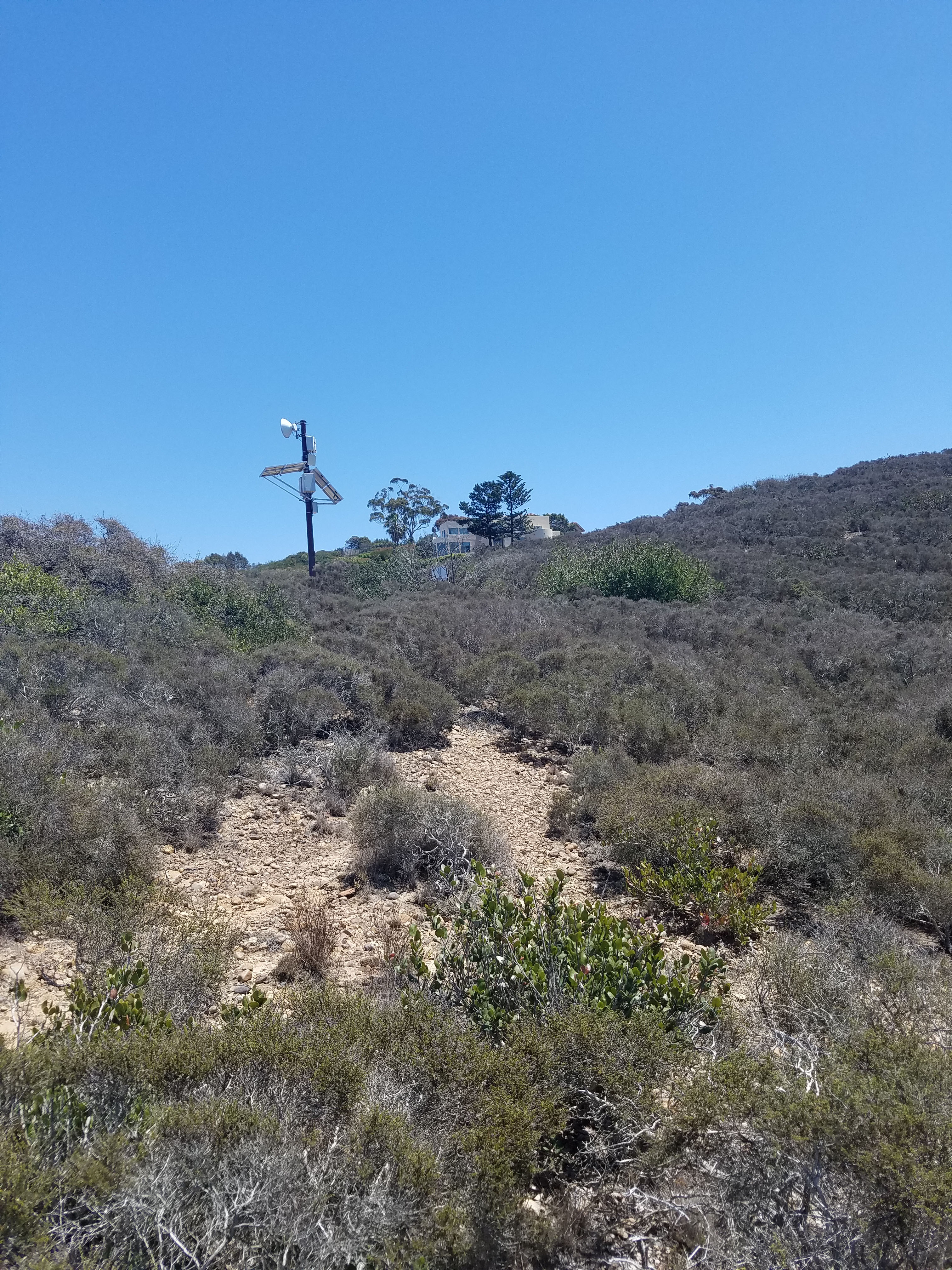
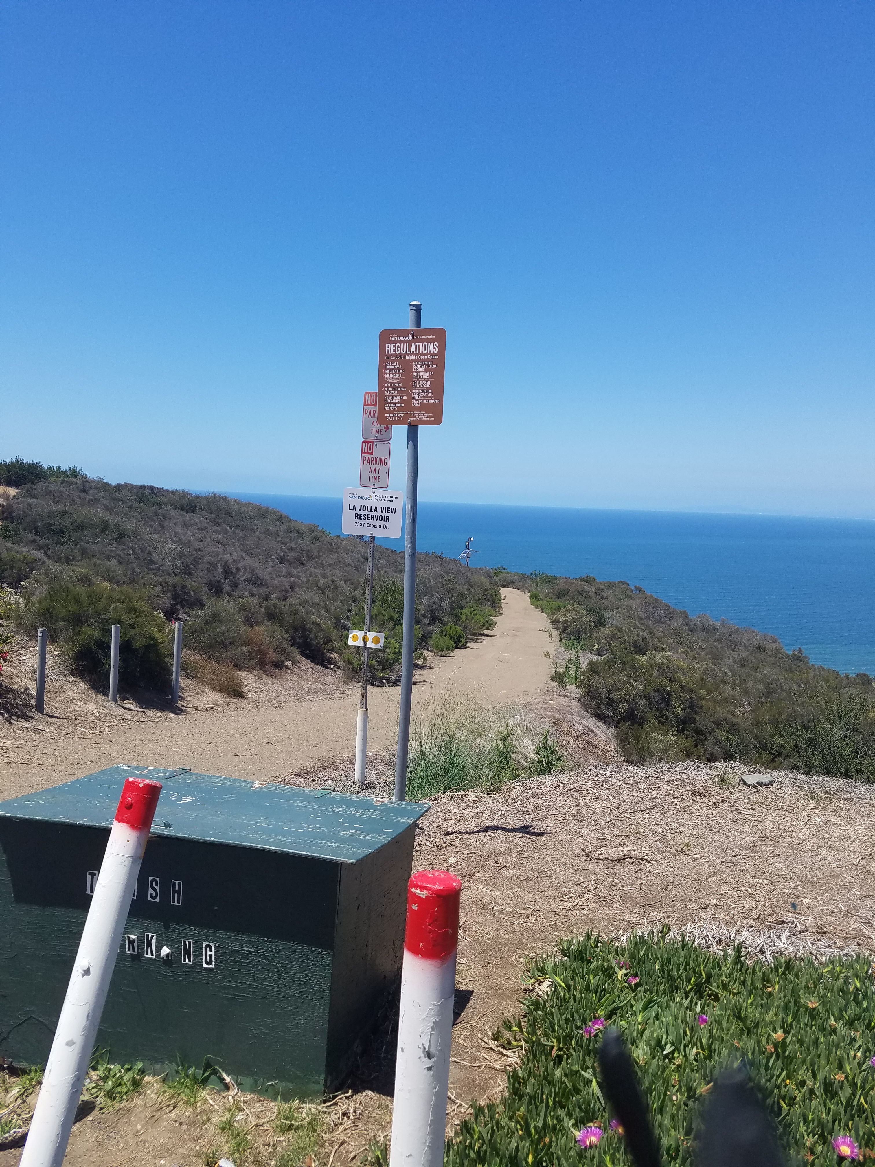
The trail has a few branches, but I think they all lead to the top. As long as you keep heading towards the solar panels at the top of the hill you will be fine. When you come to the top of the hill by the solar panels you will be on a short road that leads to a gate and Encelia Dr. This is the parking area for starting the hike from the top.
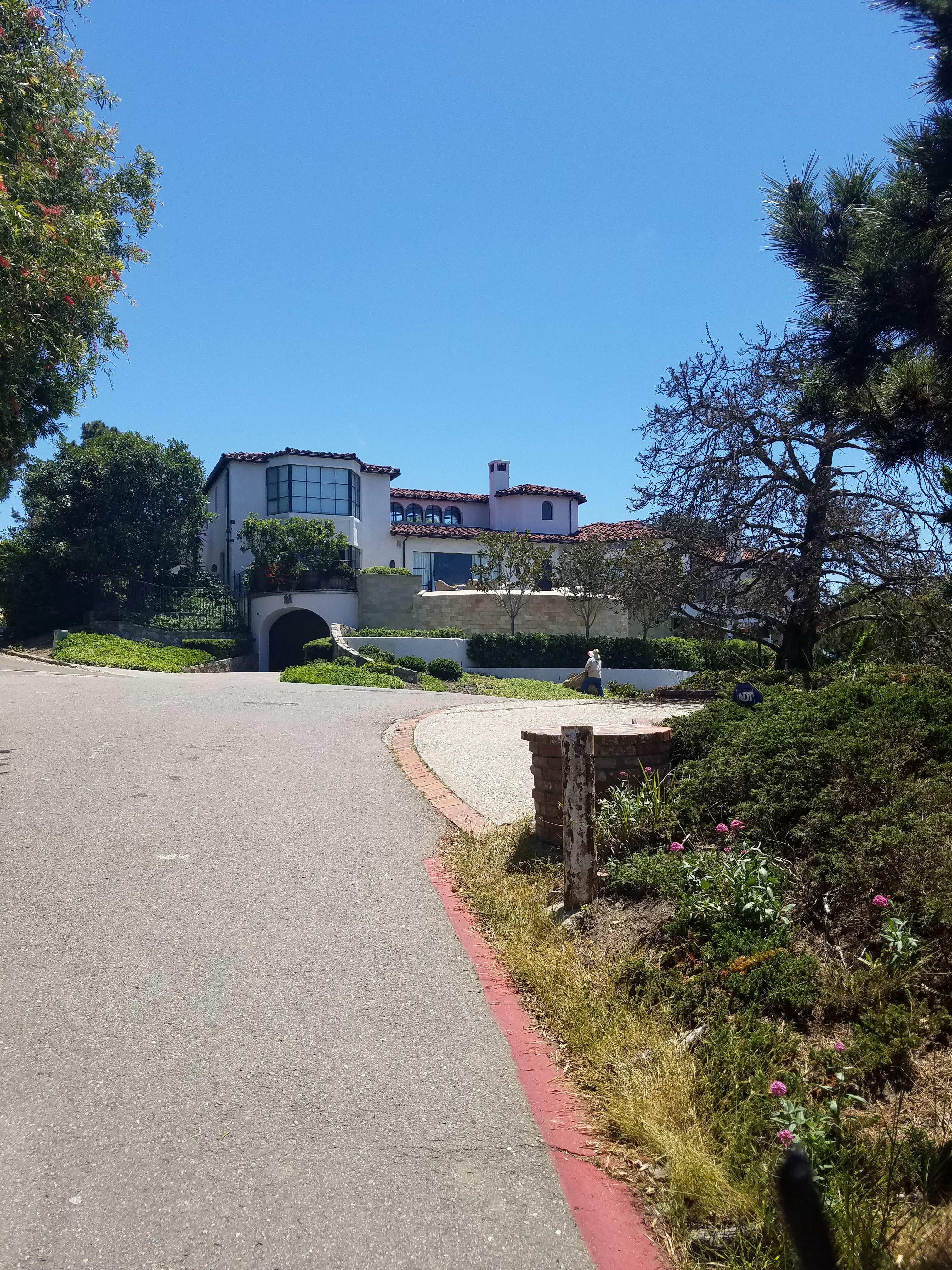
You can take some time to walk around the neighborhoods with mansions that feature some of the best views anywhere in the United States. On your left is the former home of Ted Geisel, better known as Dr. Seuss. Until his death in 1991, Dr. Seuss was a La Jolla fixture. Much of his artwork was clearly inspired by the surrounding landscape. See our guide to Dr. Seuss’ San Diego.
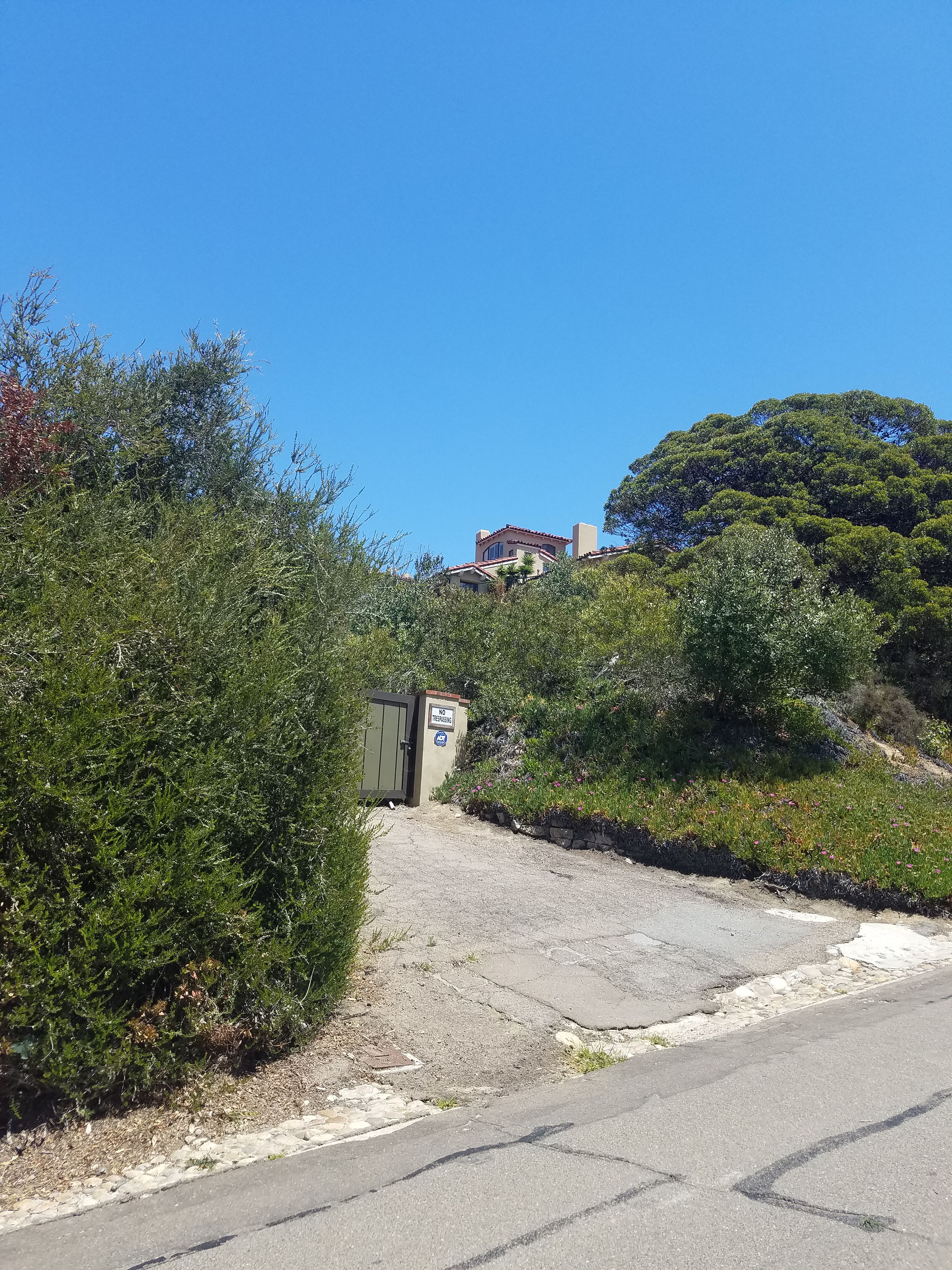
Unfortunately, much of this area is gated community so you can not really climb much further up the mountain. You can either turn around and go back the way you came or go down along the streets. To go down on the streets head down Brodiaea Way off Encelia (a right turn as you head up). Go down Brodiaea until it ends at Romero and go right. Romero becomes Country Club Dr and continues right. Country Club Dr, ends at Soledad where you make another right. Al Bahr will be shortly up ahead on your right.
Just note that if you head down the streets there are no sidewalks. There is very little traffic, but the roads are narrow and curvy. Exercise caution if you do this route. Note that our route map shows the loop. Obviously for the out-and-back you just retrace your steps.
For another great hike in La Jolla see our downtown La Jolla walk. A few miles up the road are some great hikes in Torrey Pines and also around the art exhibits at the UCSD campus.
For nearby lodging suggestions check out our guide on Where to Stay in La Jolla.