San Diego Hikes: Balboa Park Trail 33
In 1869, early founders of San Diego set aside 1,400 acres as a “City Park.” Today Balboa Park is home to many museums and the world-famous San Diego Zoo. It is also home to some great urban hiking. This is our look at hiking what is currently called Balboa Park Trail 33.
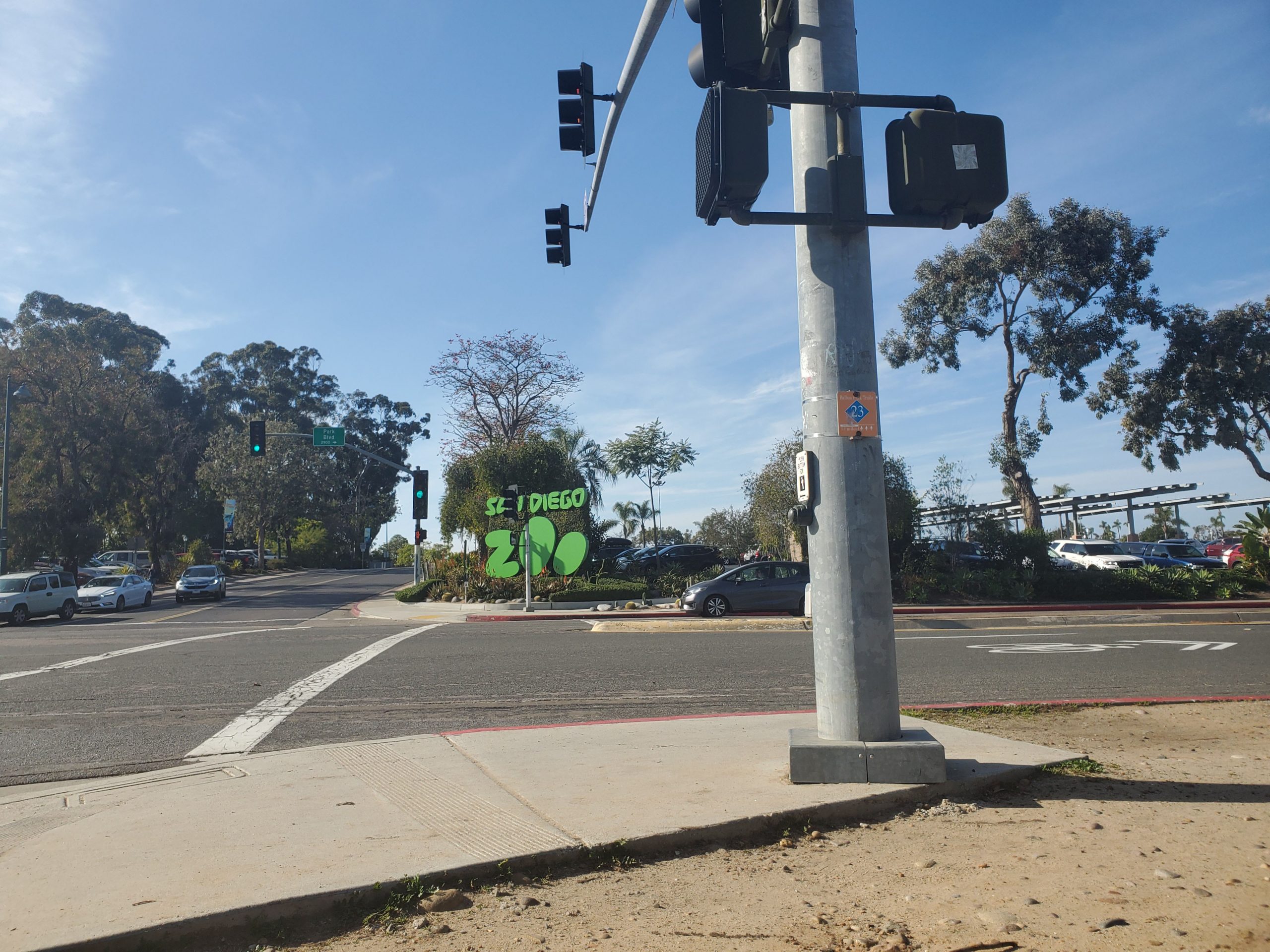
- Starting Point: Park Blvd and President’s Way
- Length: 3.7 mile
- Elevation: 200 foot gain and loss
- Type: loop
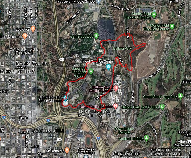
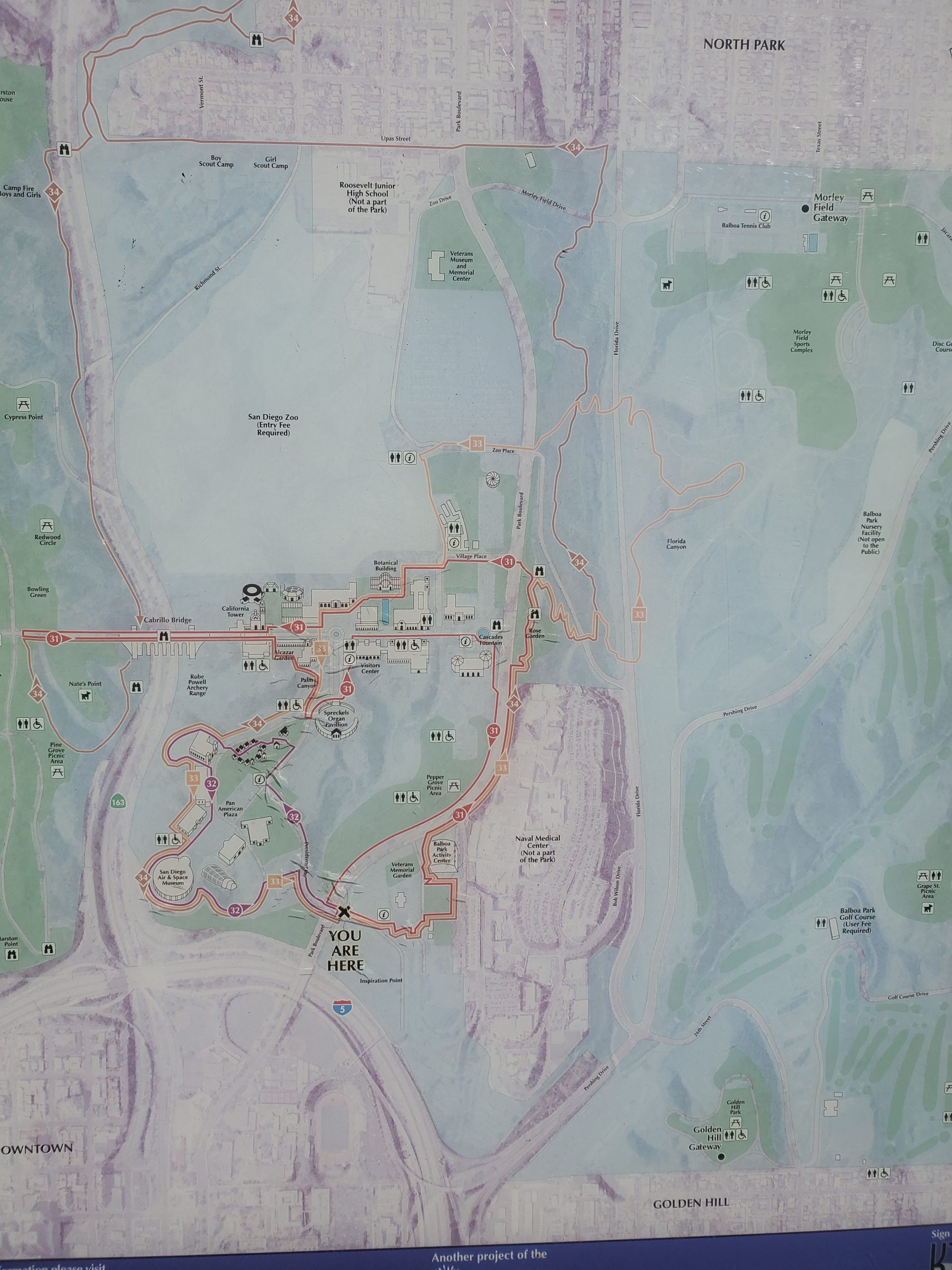
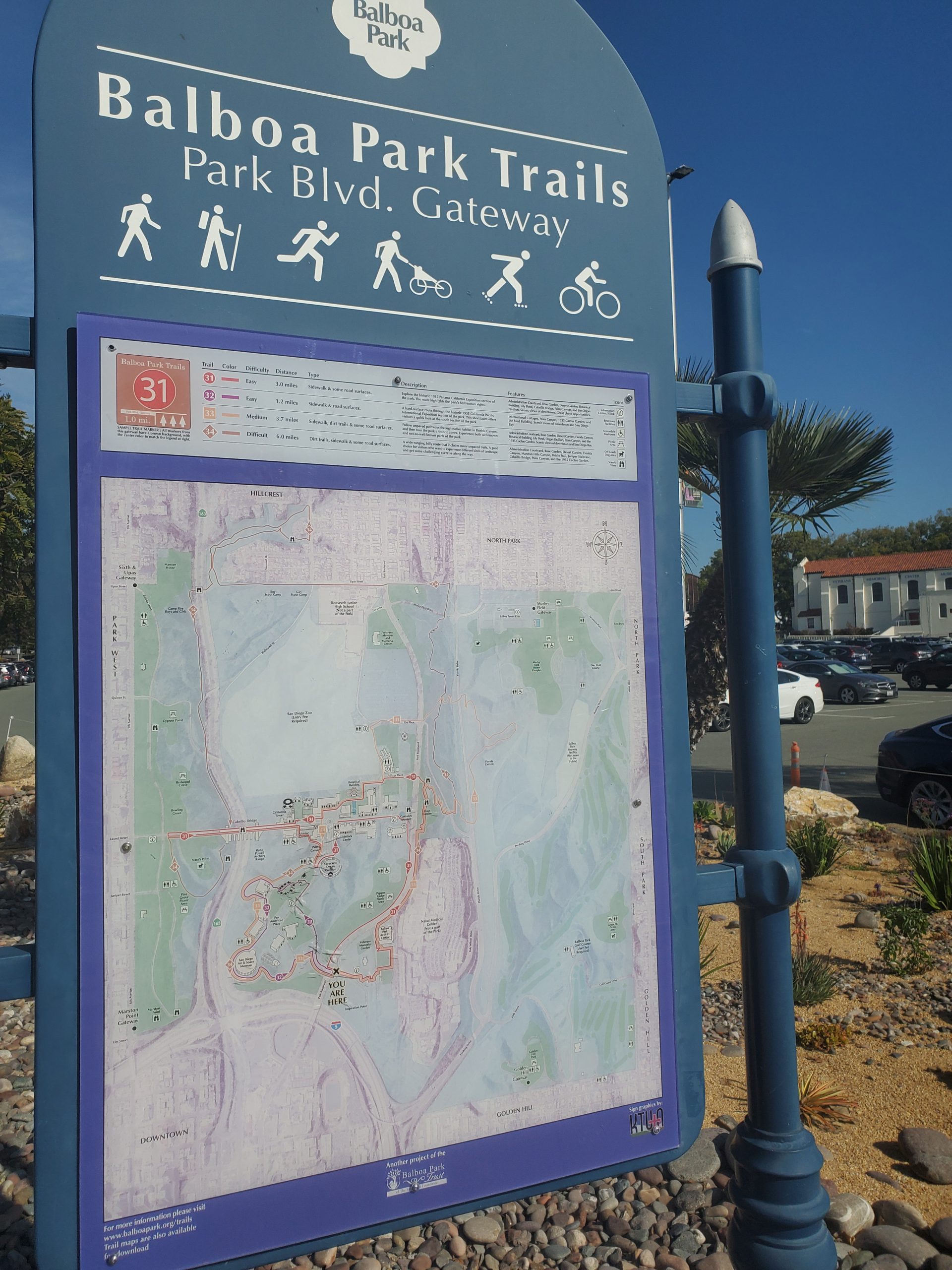
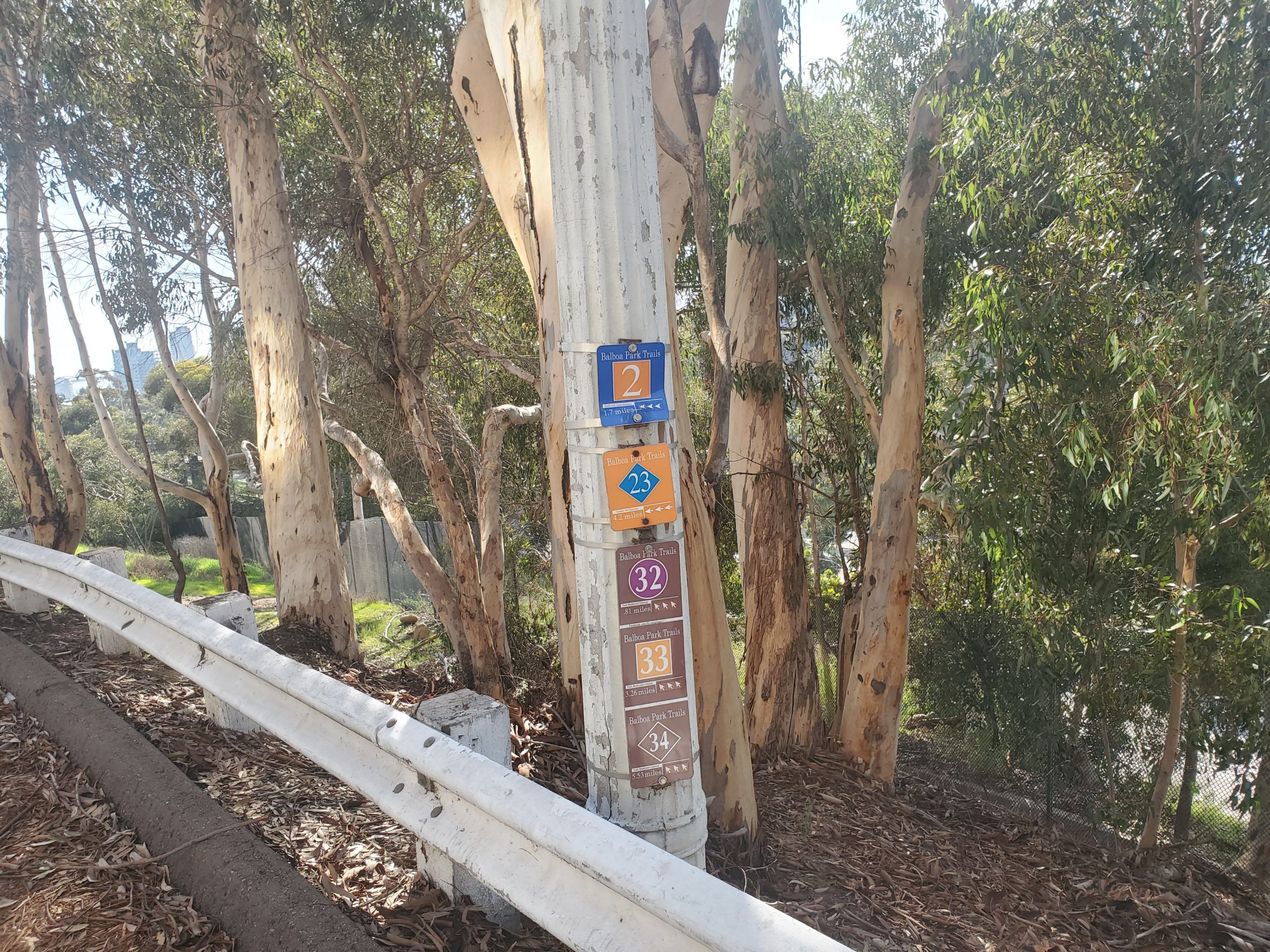
It should be noted that official hiking trails in Balboa Park are a work in progress. Trail 33 is part of four trails that start at Park Blvd Gateway. These are trails 31,32, 33 and 34. They range in difficulty with 33 being a medium trail of 3.7 miles.
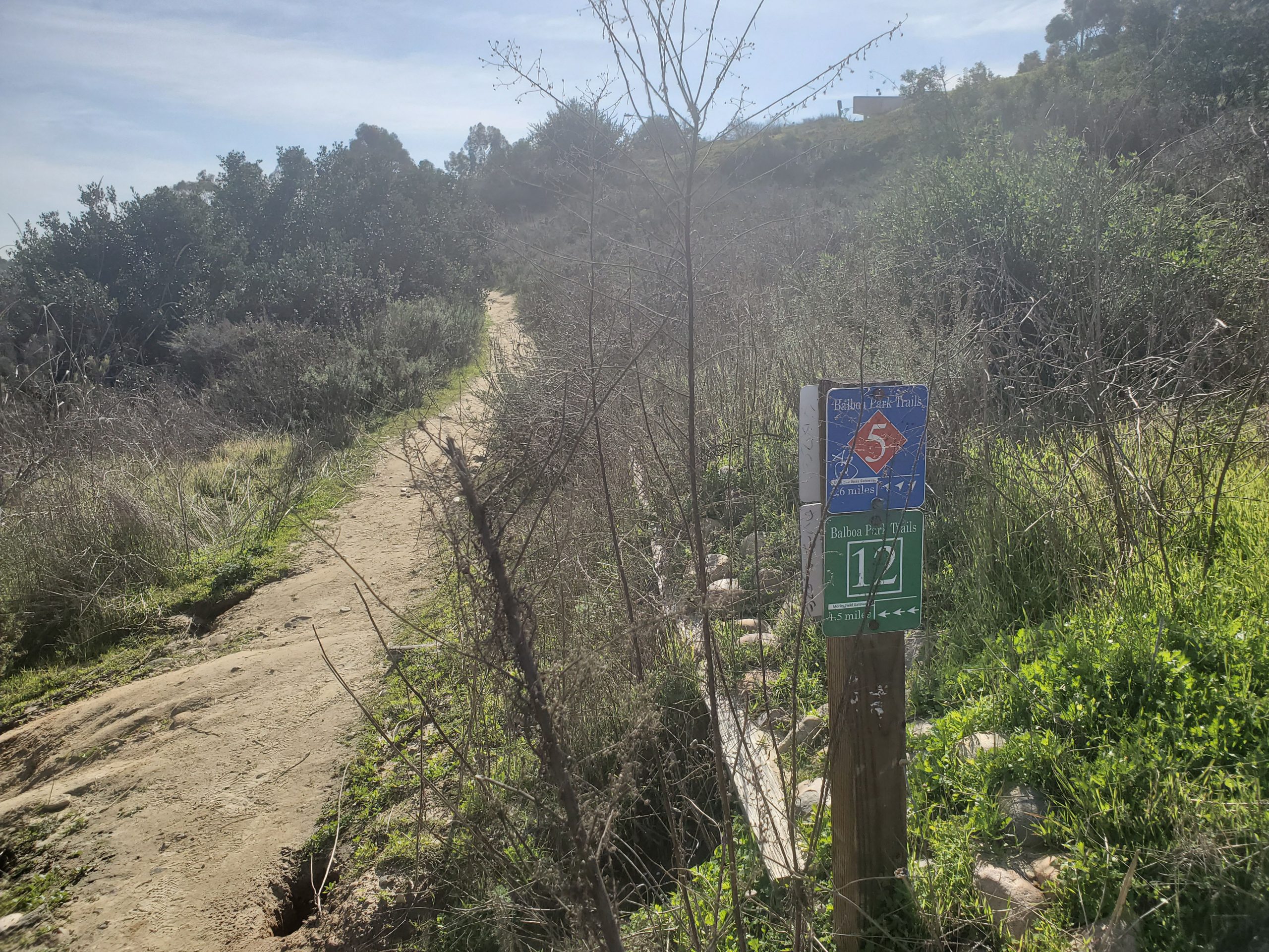
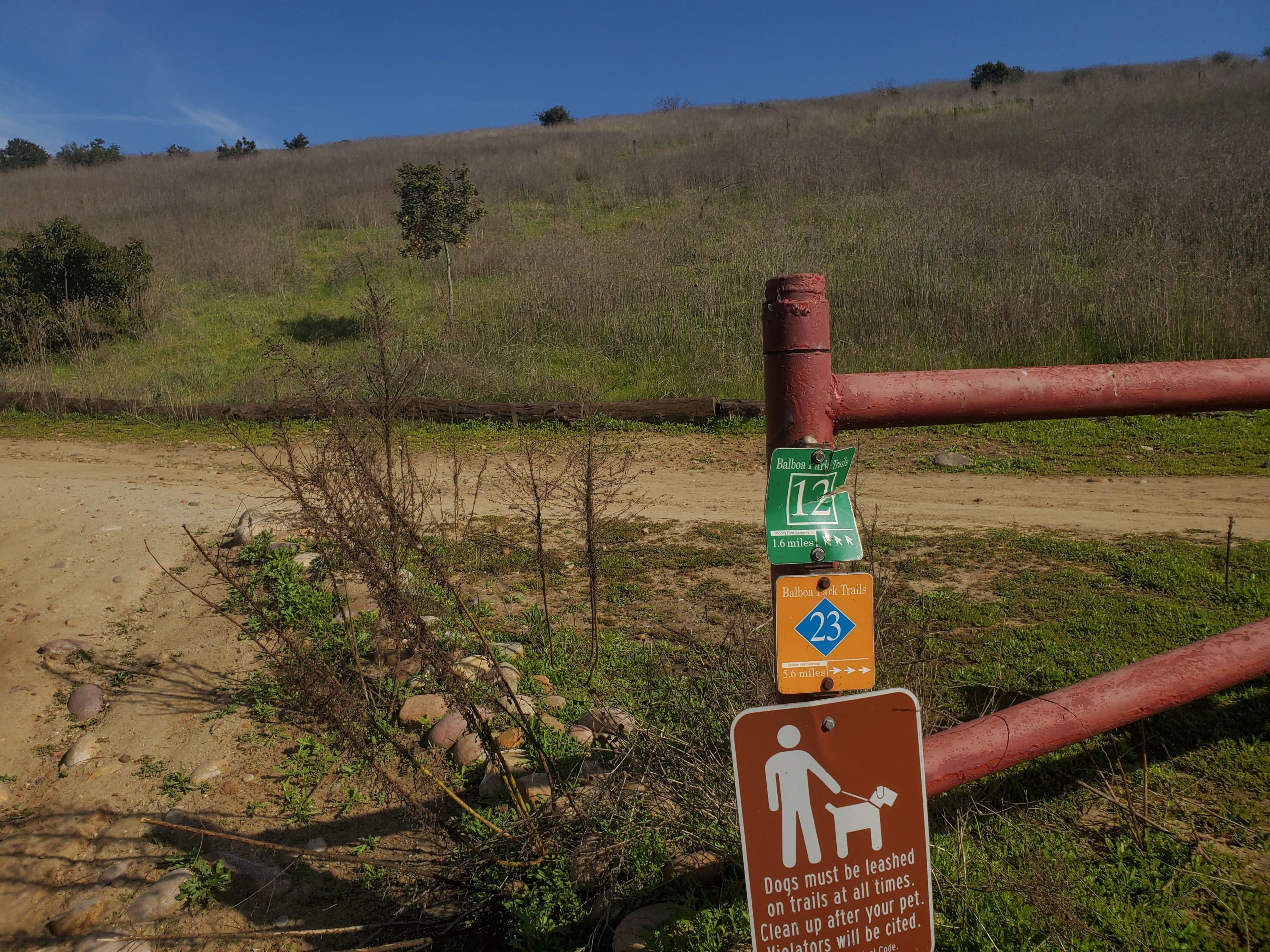
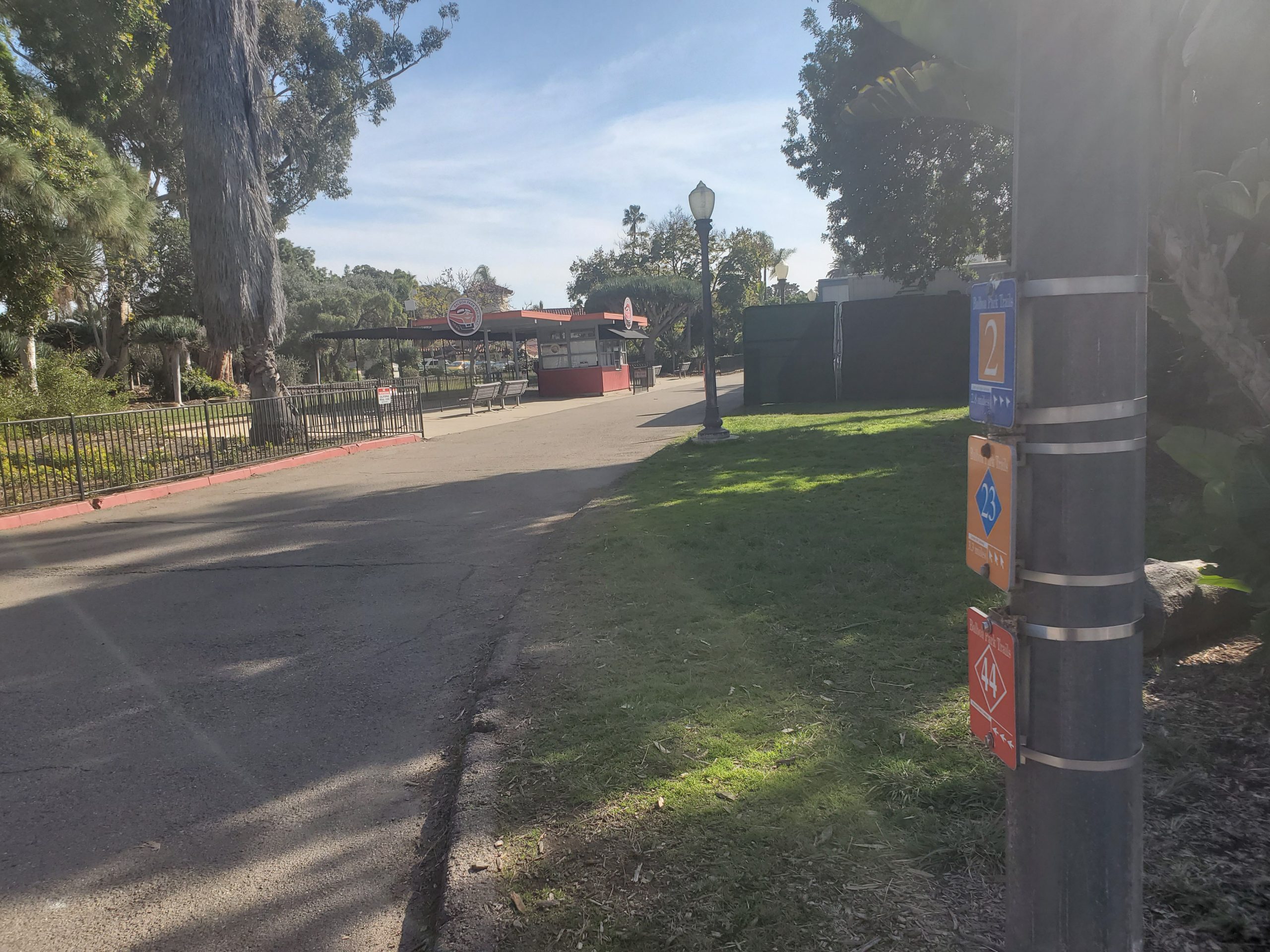
This trail system is only the latest of several official trails in the park. Currently these trails are very poorly marked and confusing signs remain of older trail systems. You can find a map of all the Balboa Park trails here.
For more casual visitors we would suggest our Central Balboa Park Hike which is officially Trail 31. This hike stays in the center of the park and does not adventure into the canyons.

We first tried hiking this without a map and could not follow the official trail. By carefully using a map we were able to follow the trail. We took a lot of notes and pictures to get it down. This post has a lot of pictures to act as a guide! For Balboa Park Trail 33 you should probably print an official map to take for reference.
The good news is it is hard to get lost. You may not follow the official trail, but you can still have a good time.
The main area of concern is that Balboa Park is an urban park. There are quite a few homeless people that are in the park canyons. This has never been a problem, but this is probably a hike you should not do alone.
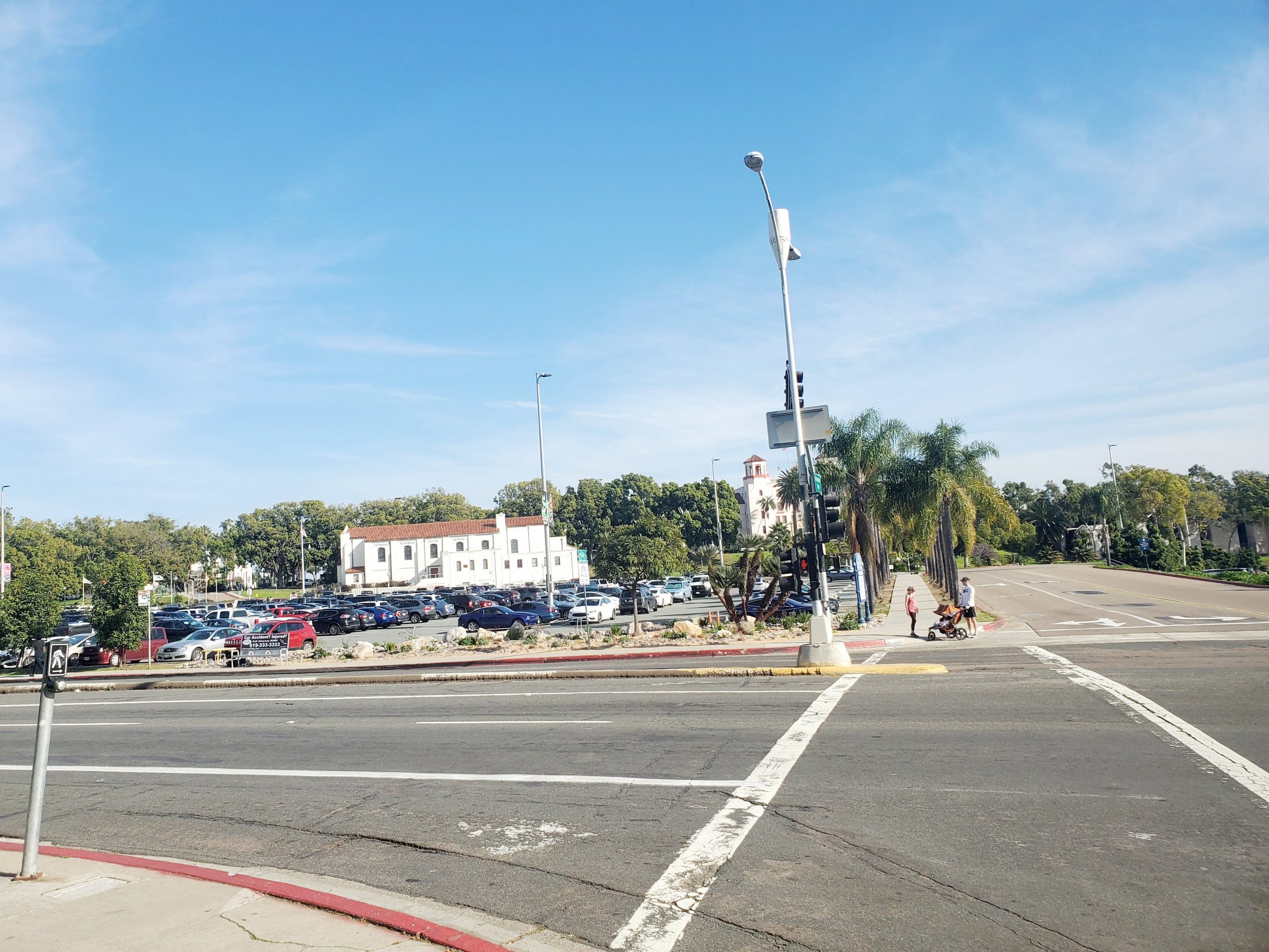
The Park Boulevard Gateway is located at the south entrance of Balboa Park right off the I-5 and 163 freeways. There is a large parking lot with an information kiosk and a free shuttle that takes you to the rest of the park.
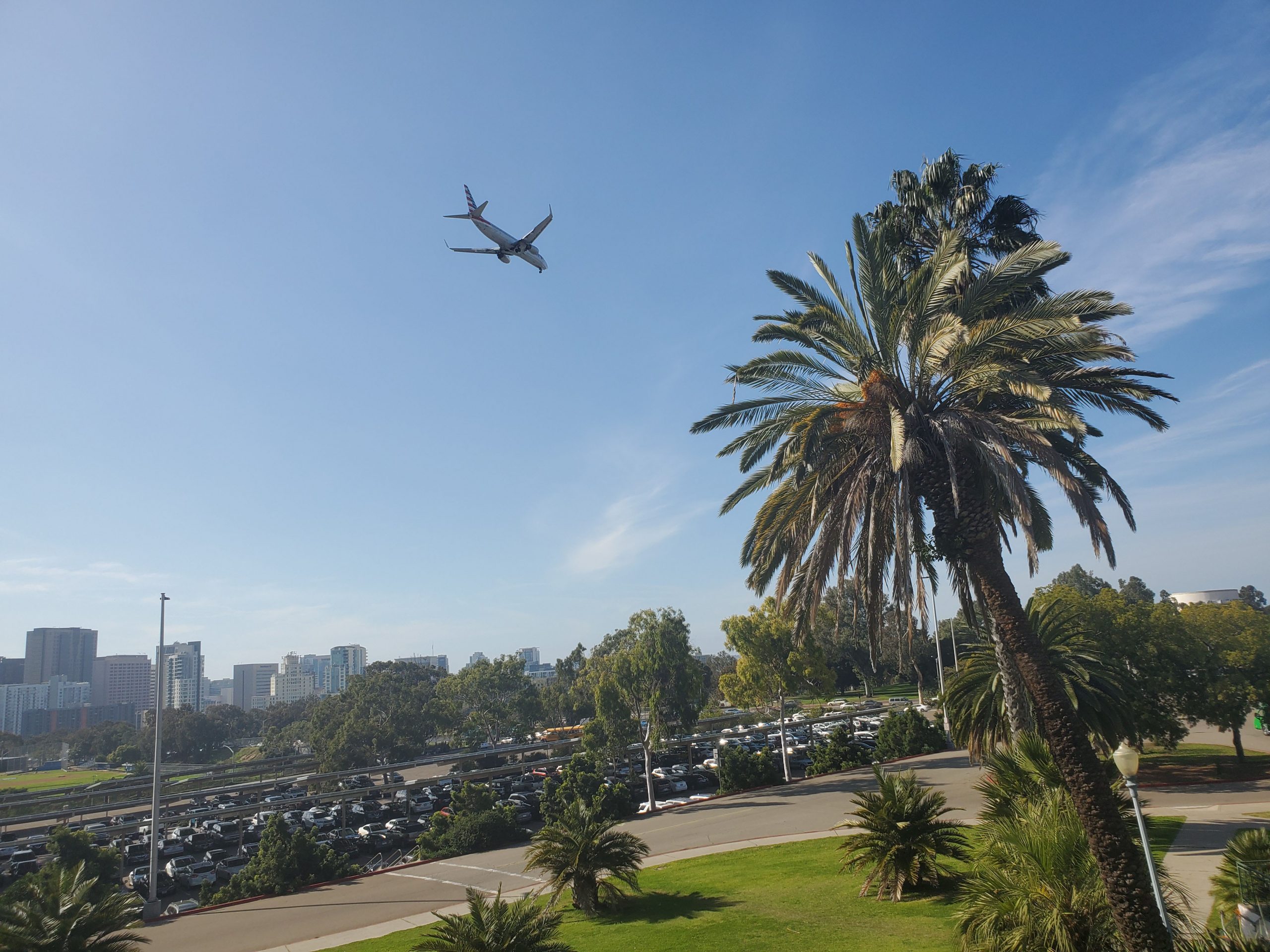
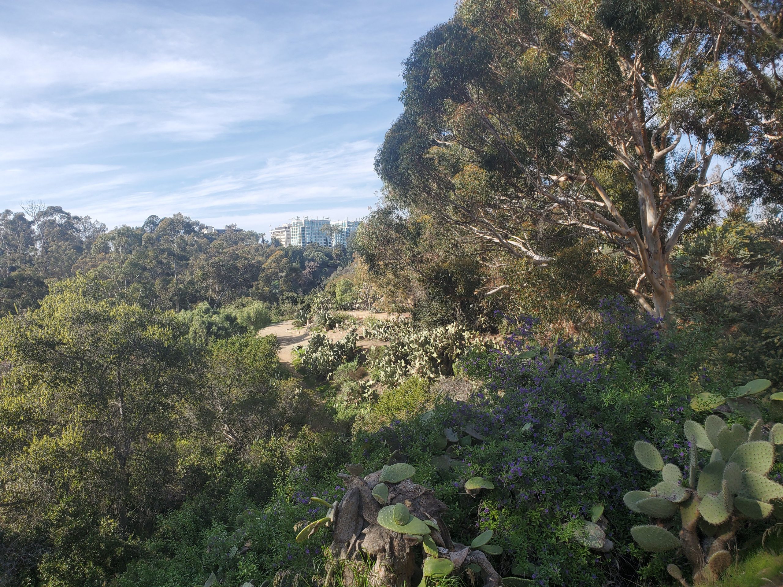
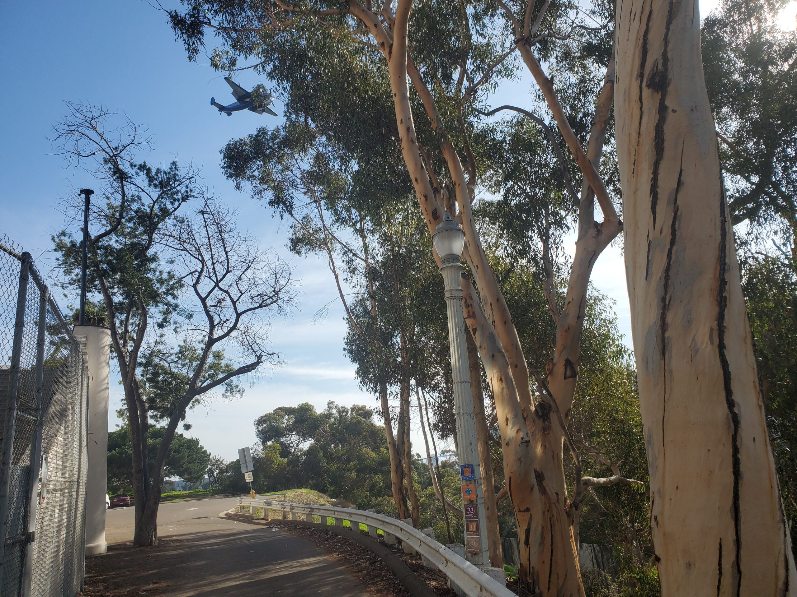
The start of the hike is right by the very cool Veteran’s Museum. On the right side of the museum you head up a staircase to the impressive Regional Parks Building. This is where you get a great view of downtown San Diego and planes landing at the airport.
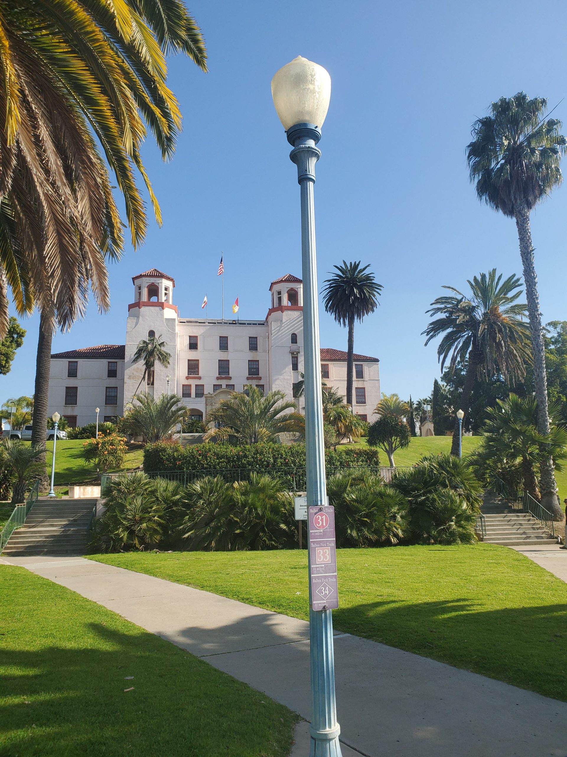
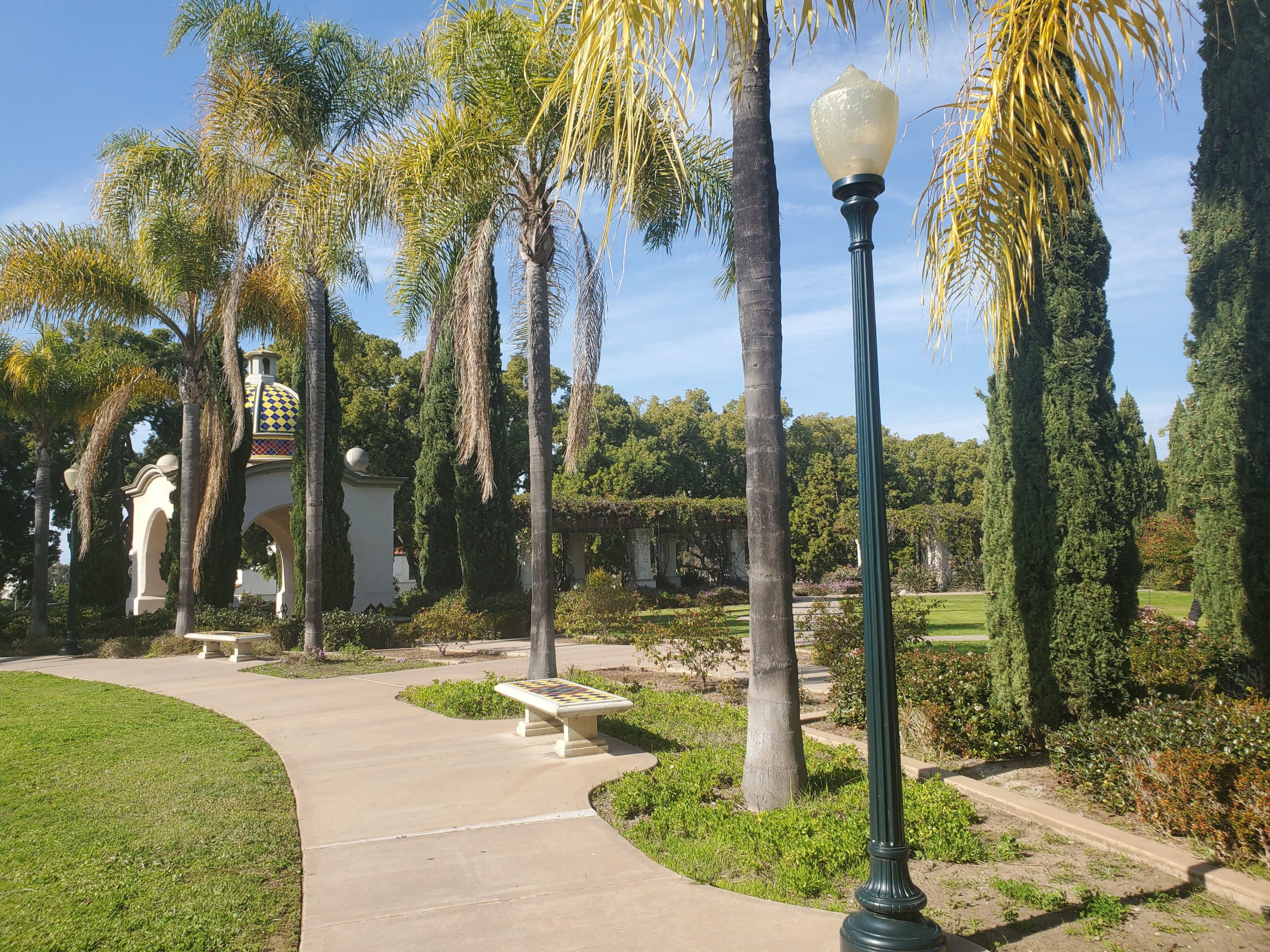
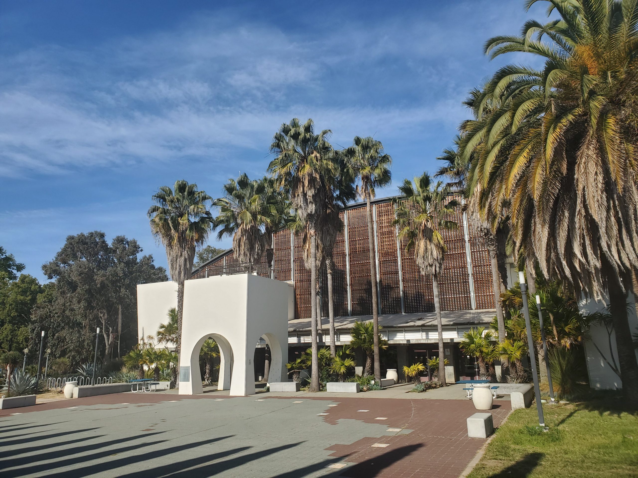
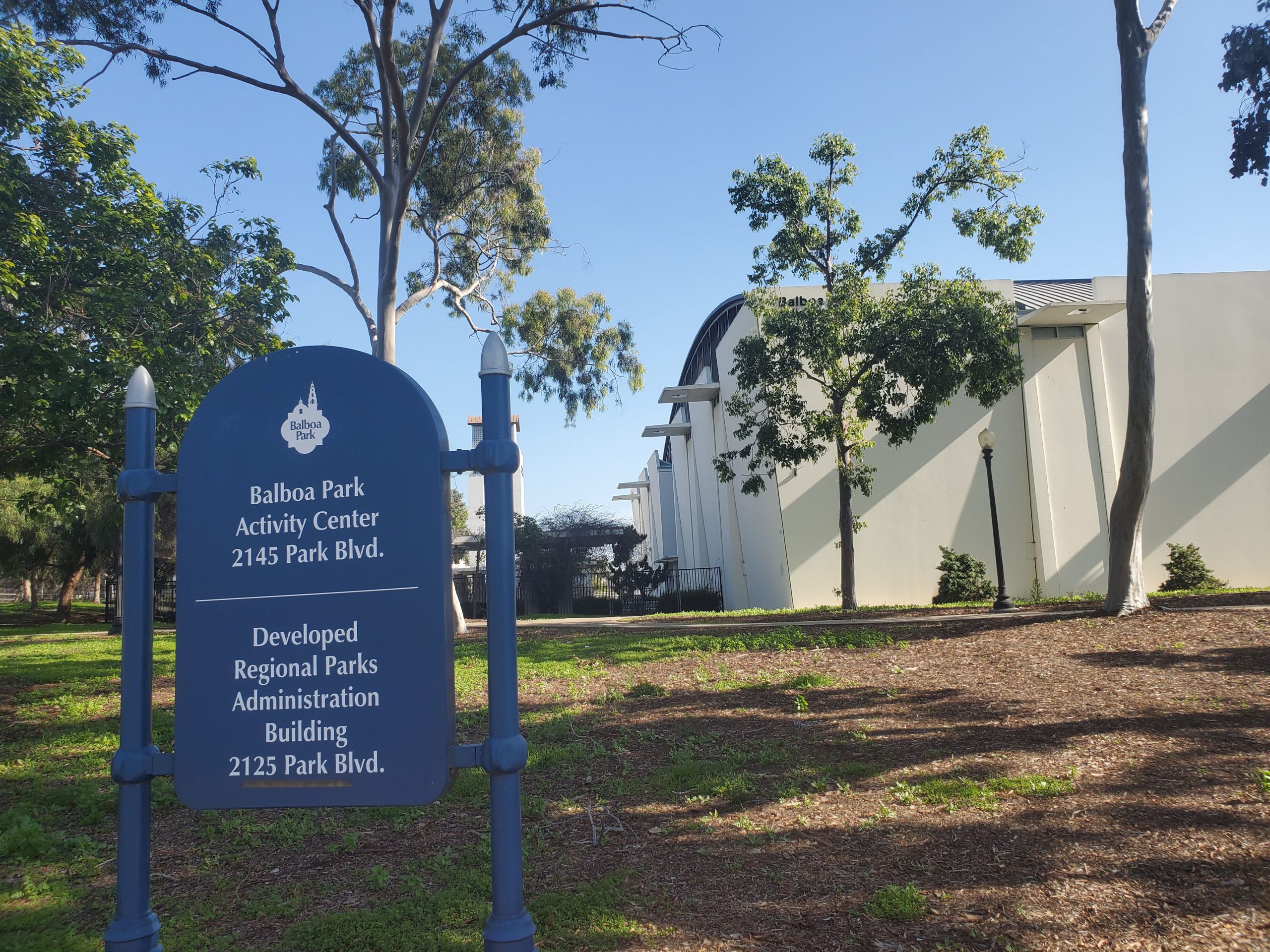
This building is the administration center of Balboa Park. There is a nice garden area that leads to the left towards the Balboa Park Activity Center. The Activity Center is a large gymnasium with programs operated by the Parks and Recreation division of the city.
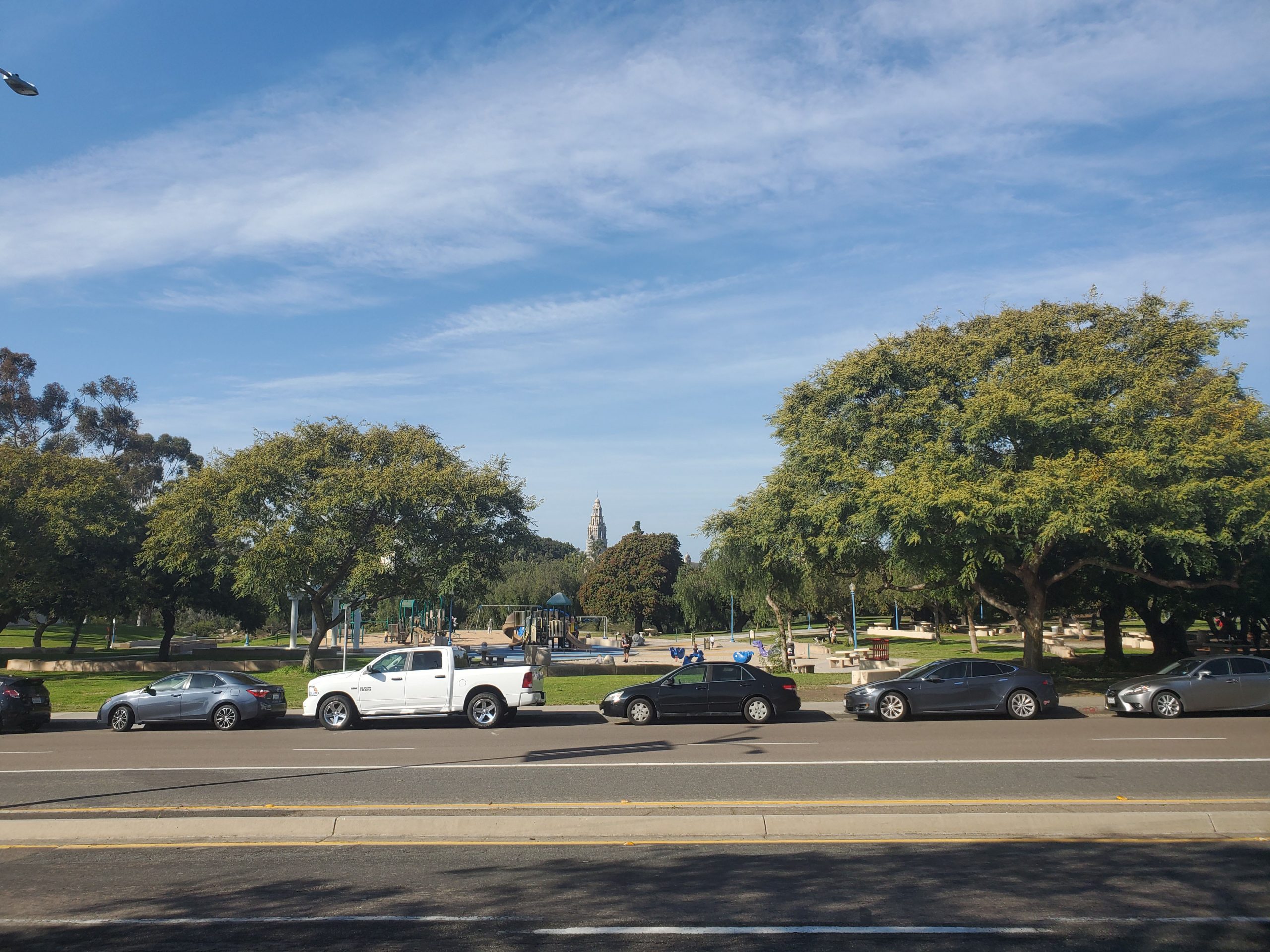
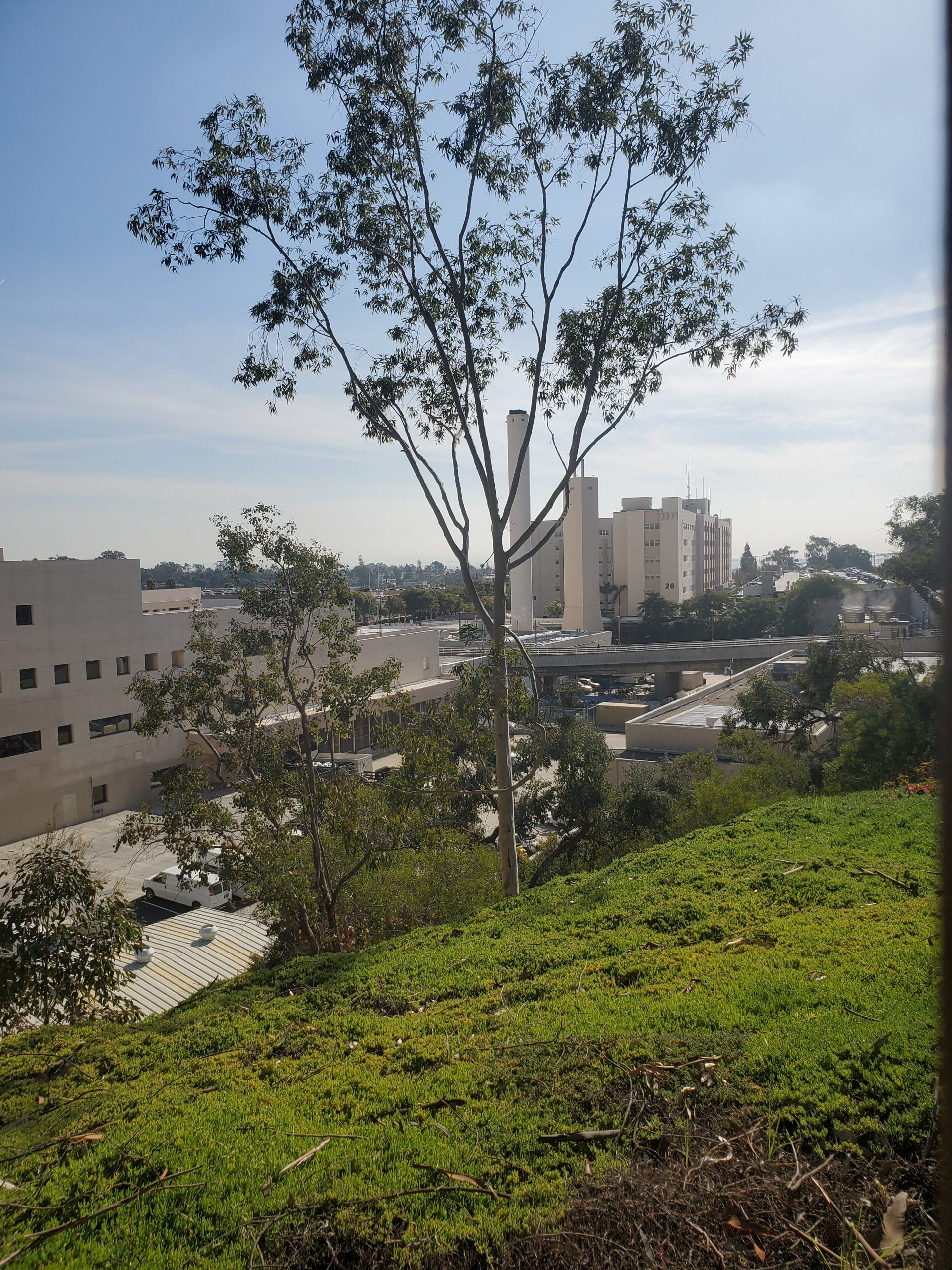
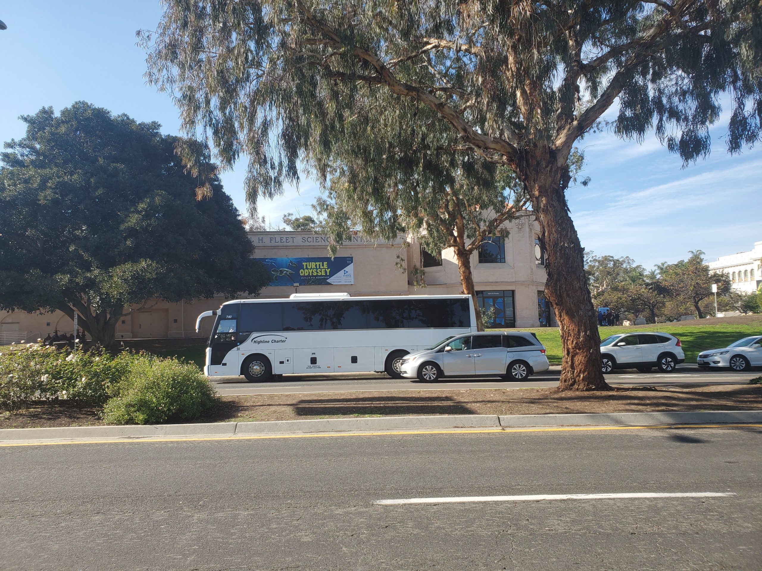
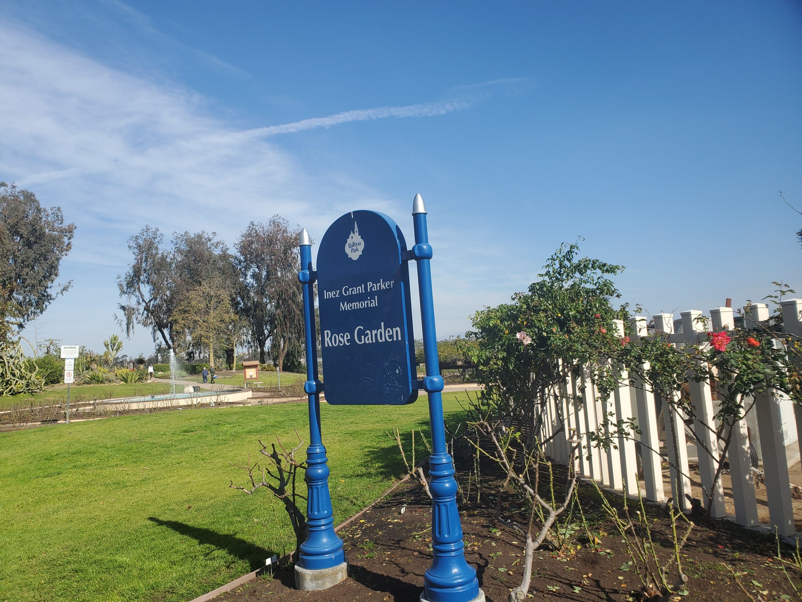
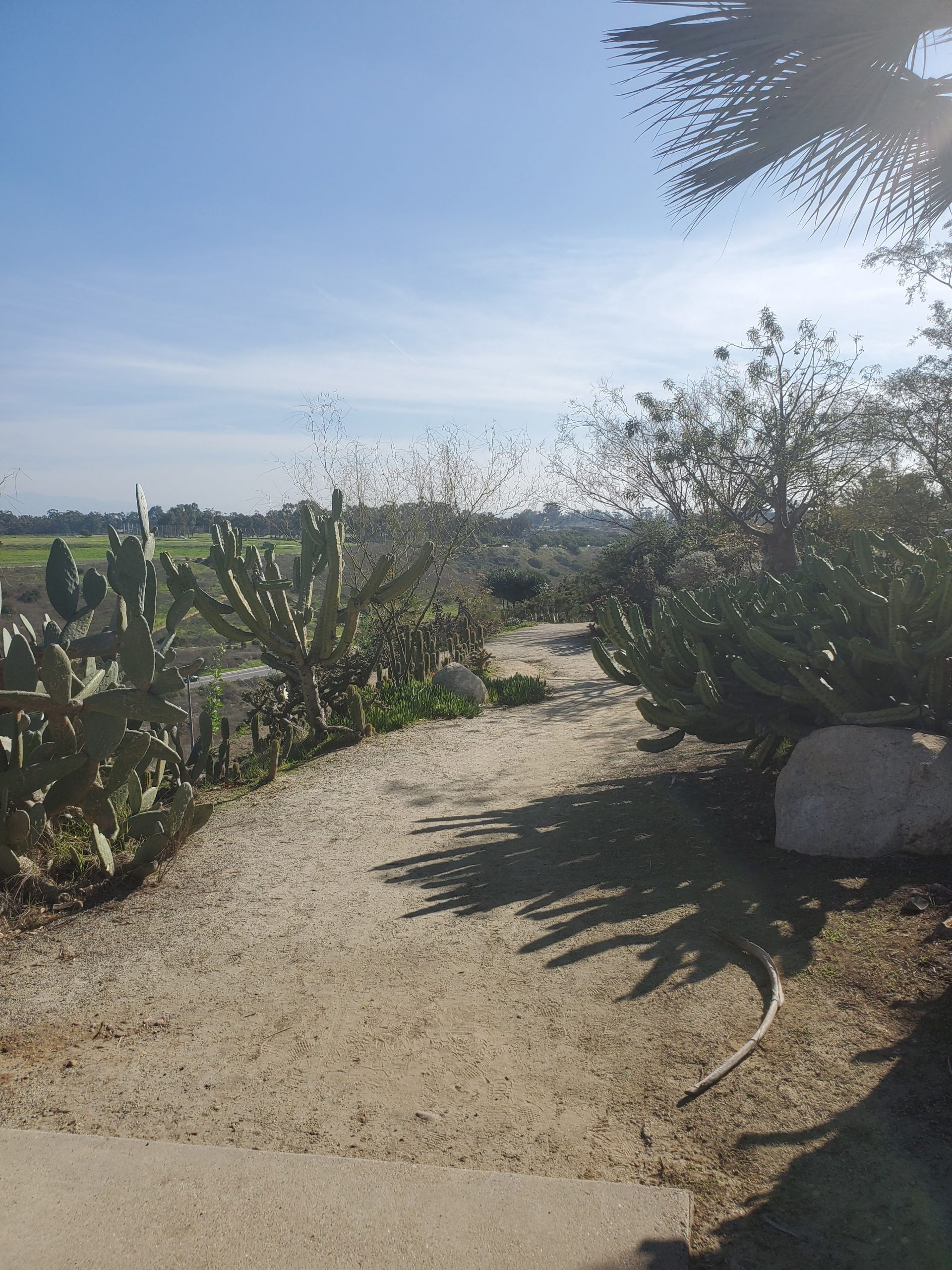
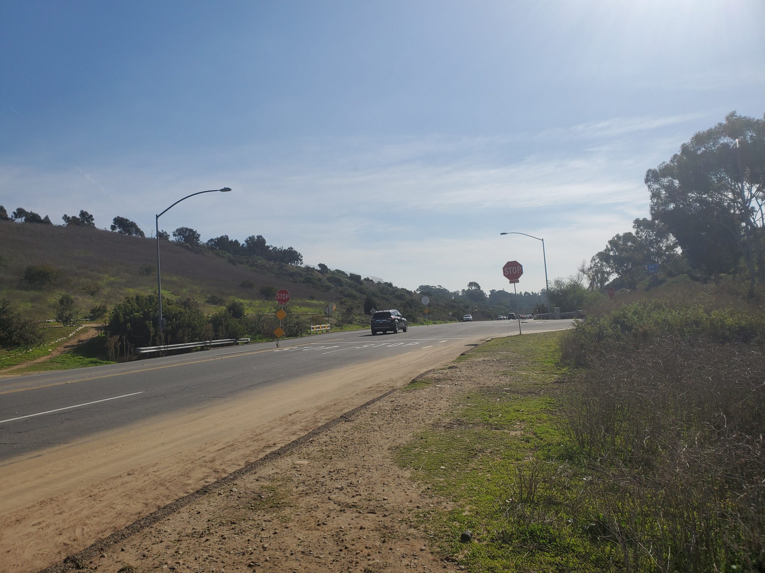
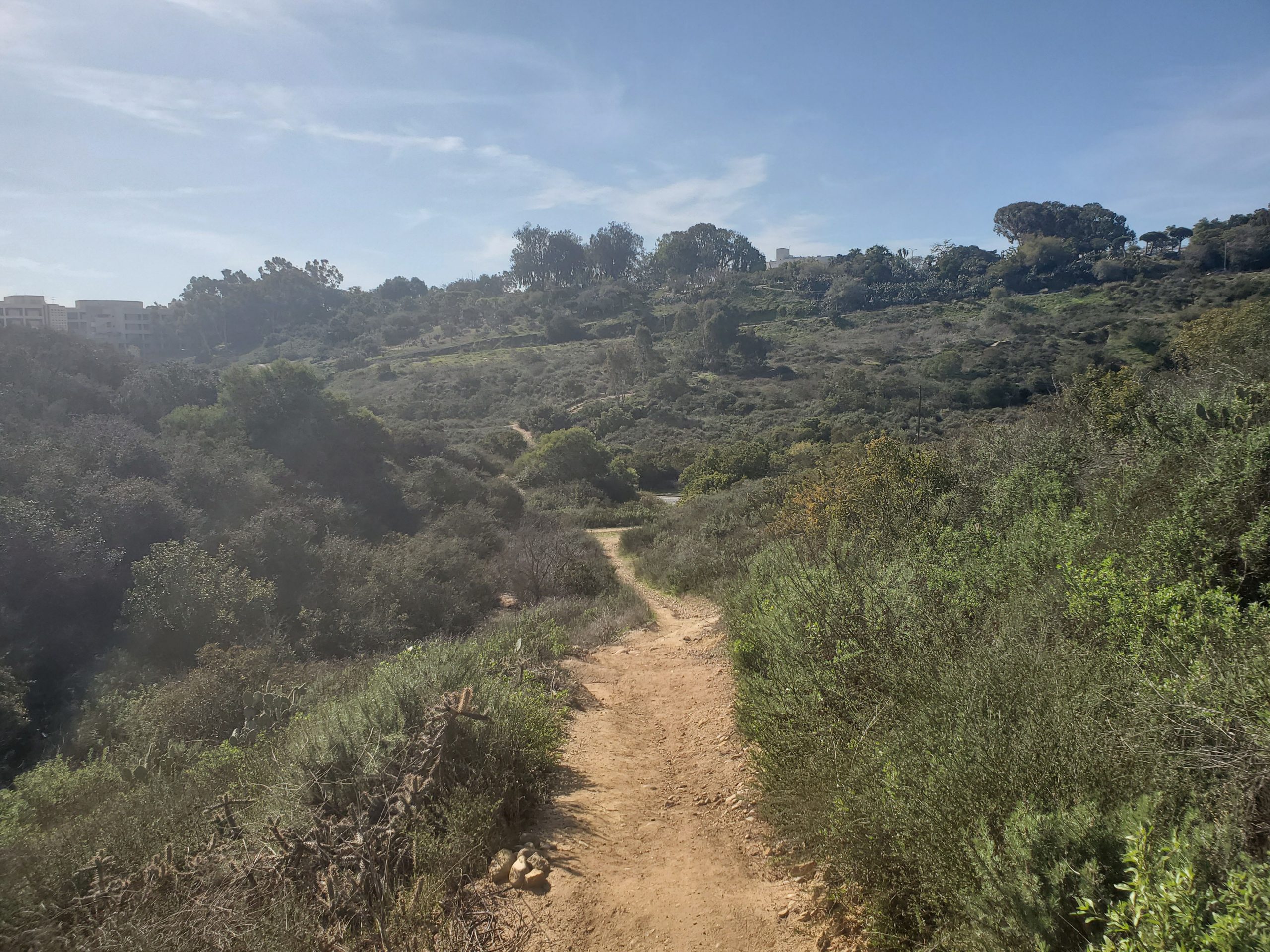
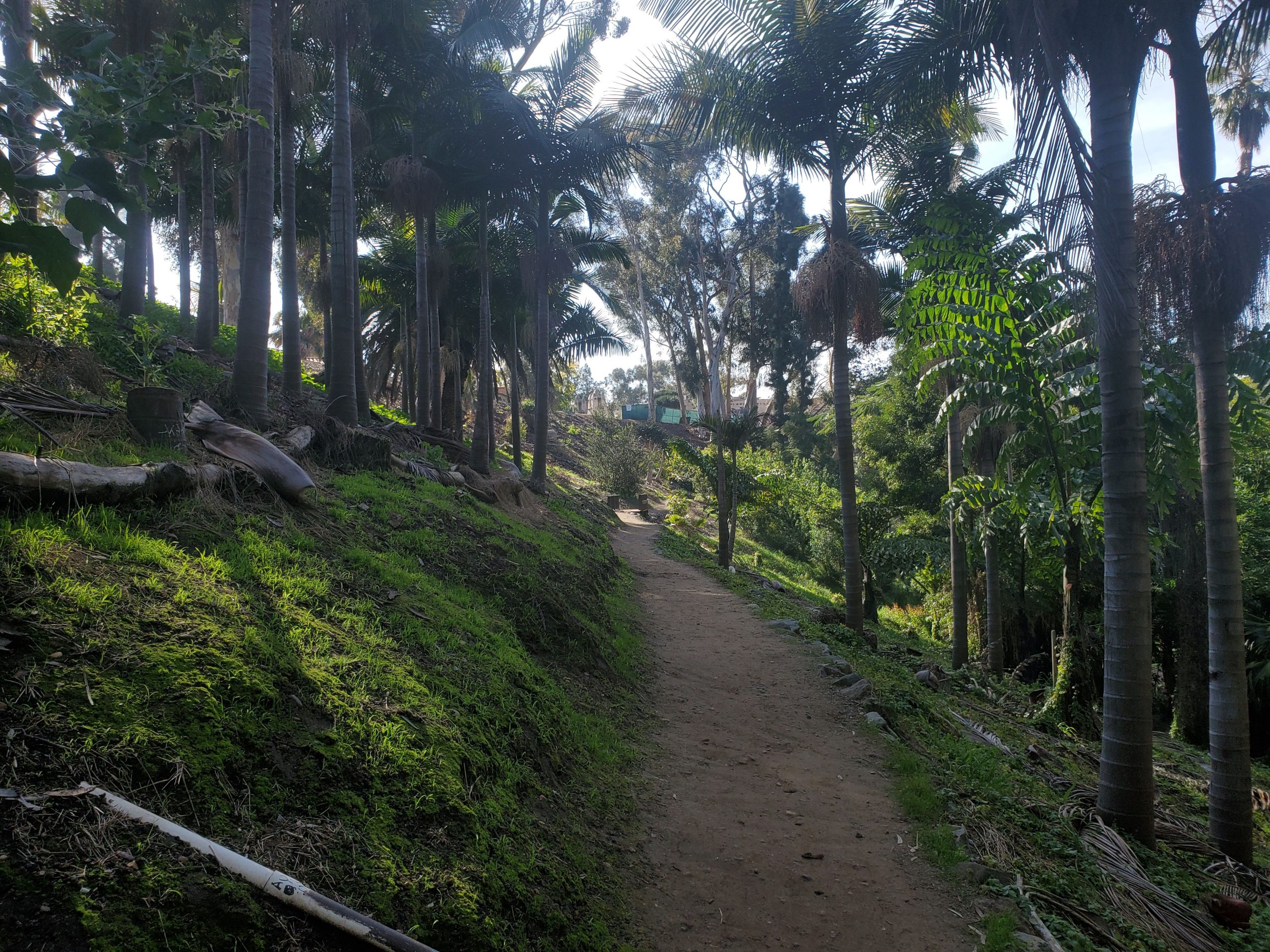
At this point, the trail runs along Park Boulevard by the large Naval Hospital complex. Across the street from the Fleet Science Center is the Inez Grant Memorial Rose Garden and the Desert Cactus Garden. The trail goes through both gardens, before making a steep right turn down into Florida Canyon.
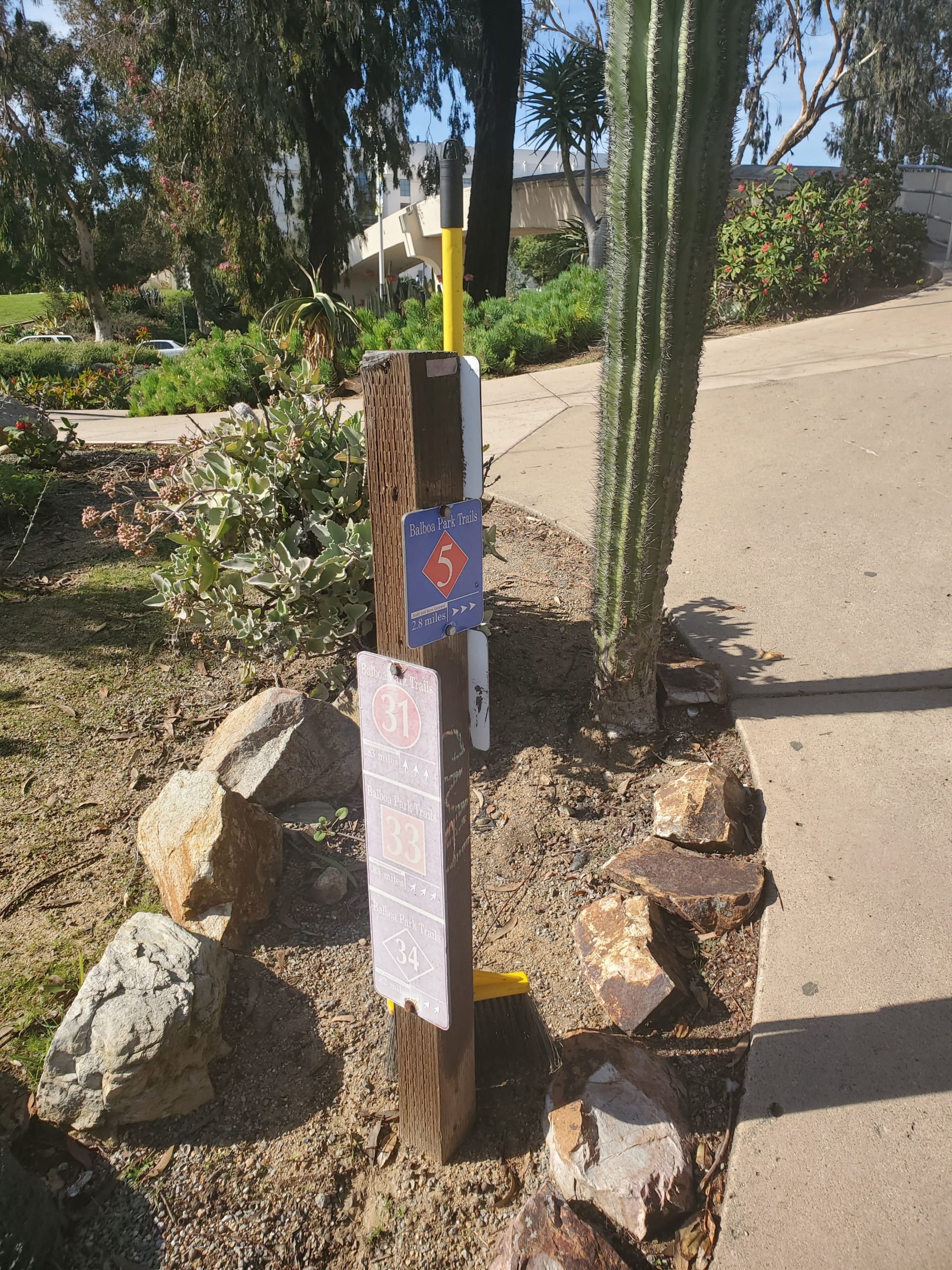
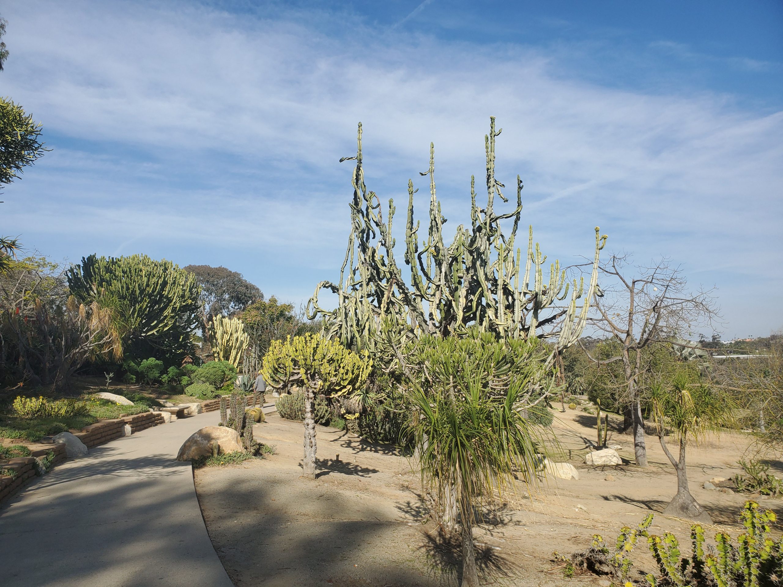

The trail is a switchback through the cactus garden that is well-marked until you reach Zoo Place. Zoo Place is a road that takes you up to the Zoo from Florida Dr. At this point following the trail becomes more difficult.
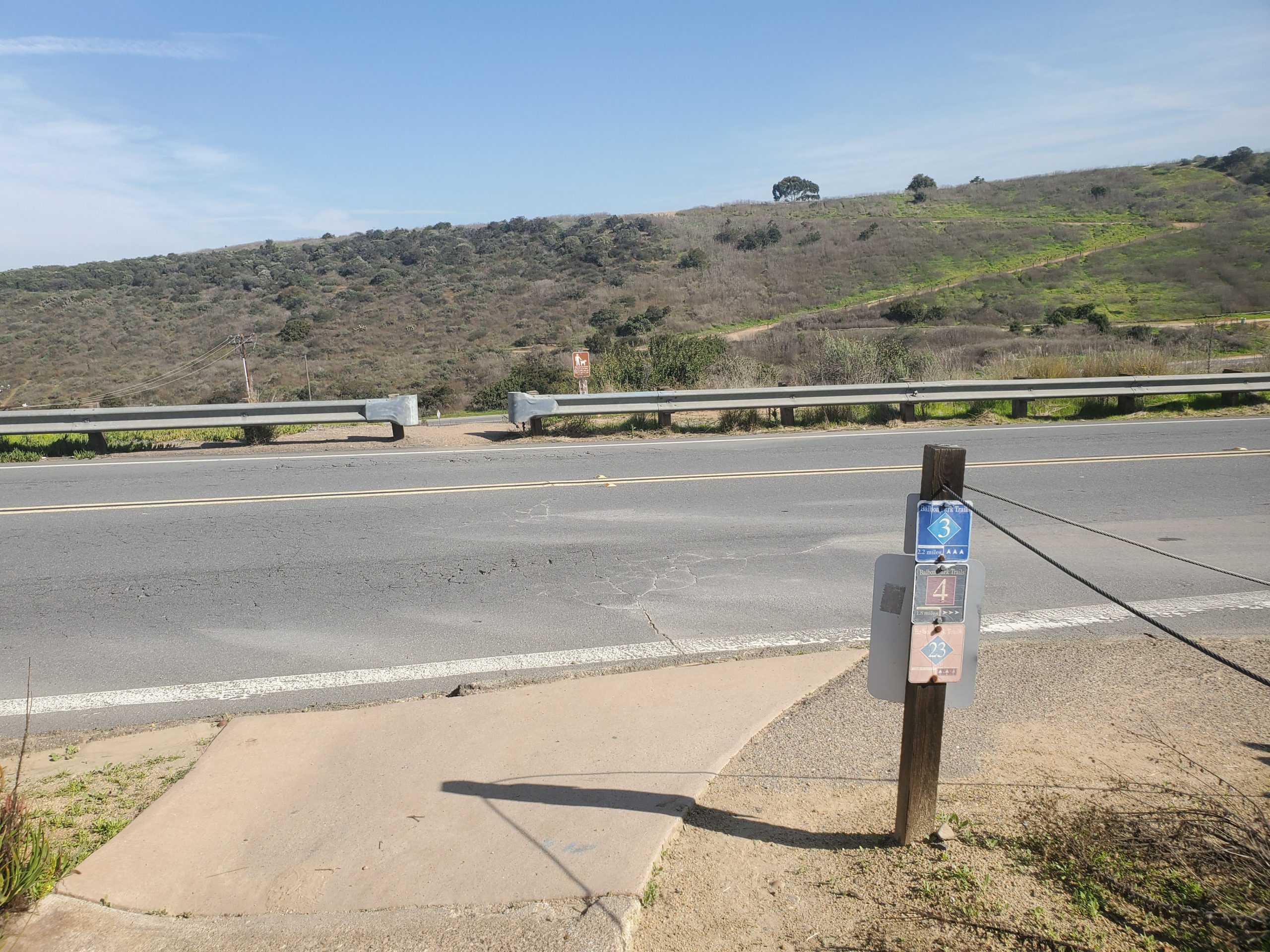
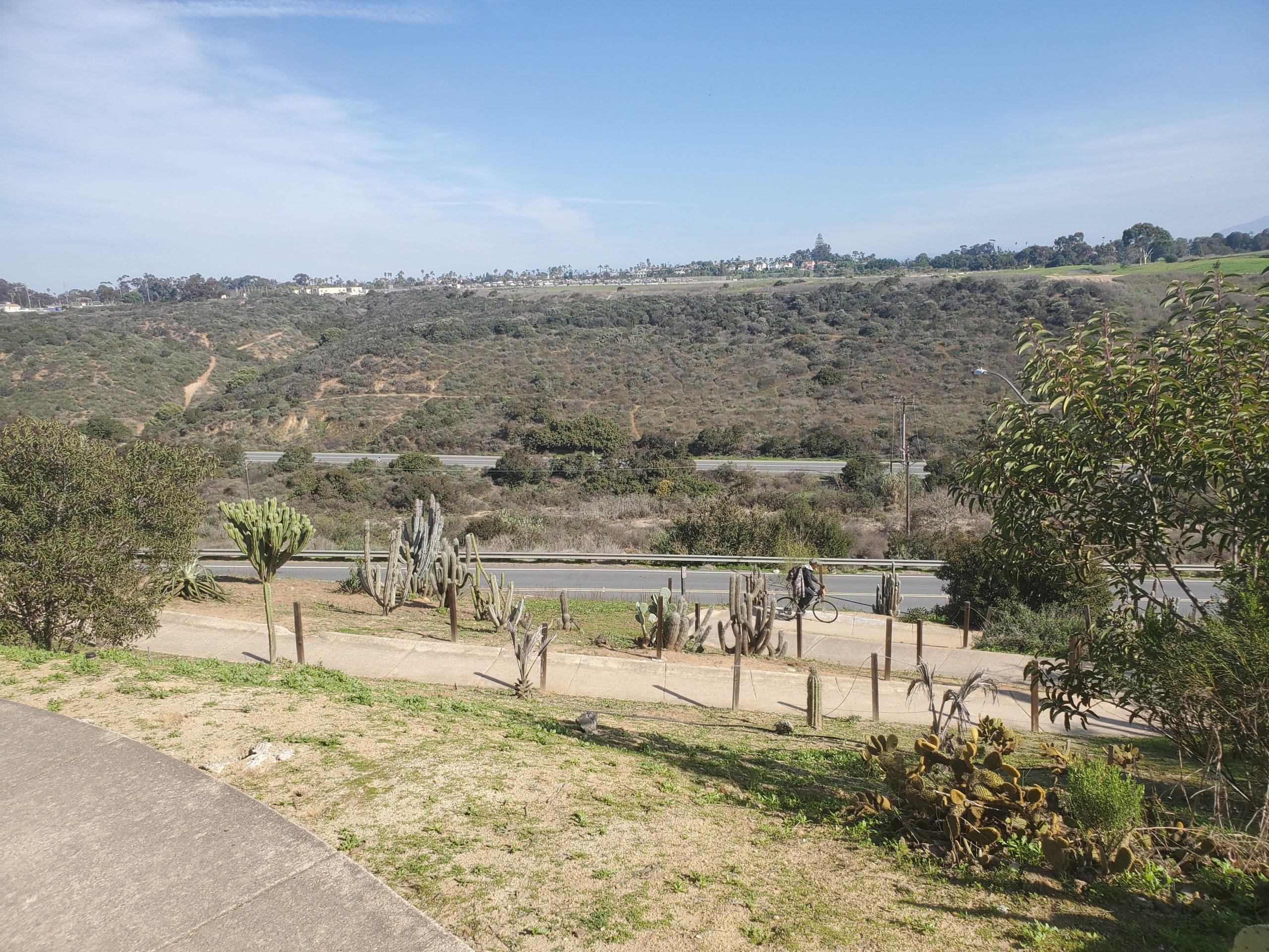
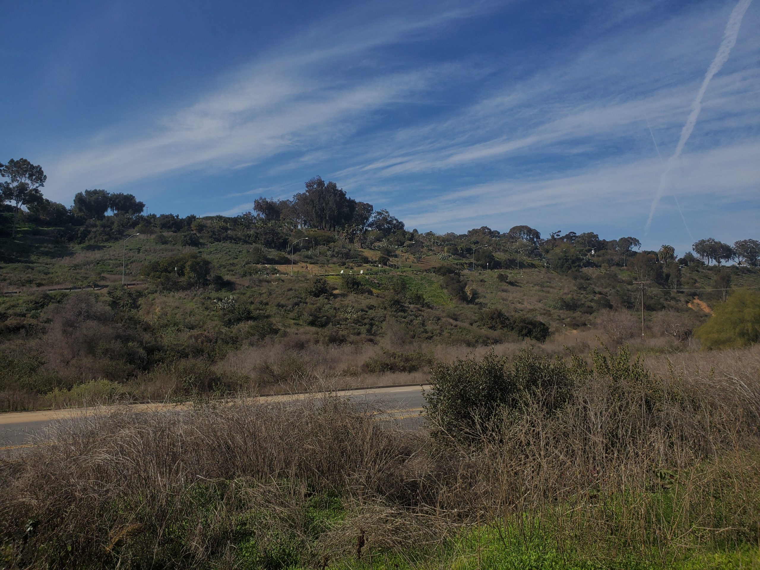
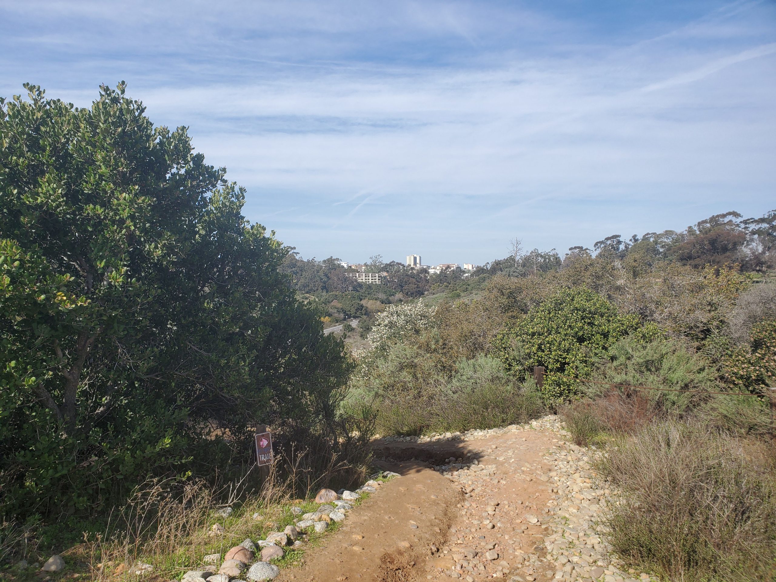
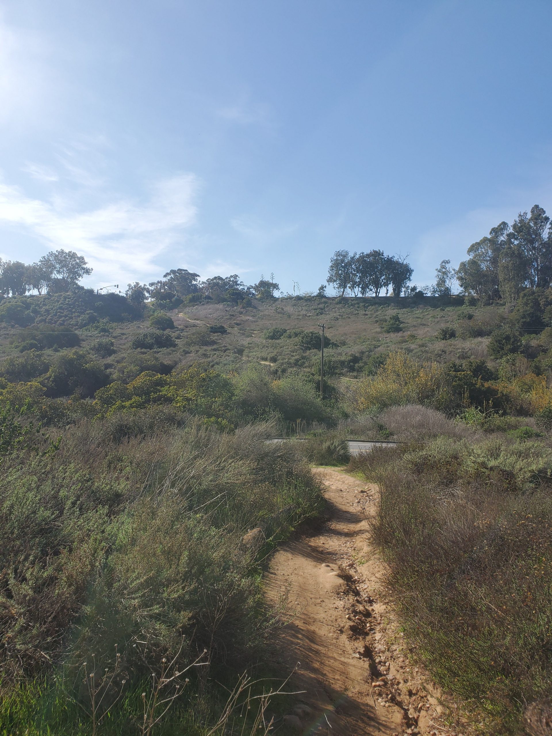
Crossing Zoo Place the trail narrows into the canyon bottom. To follow trail 33, you want to bear right at the canyon bottom. Left follows the longer trail 34. The goal is to come out on Florida Drive near the intersection with Zoo Place.
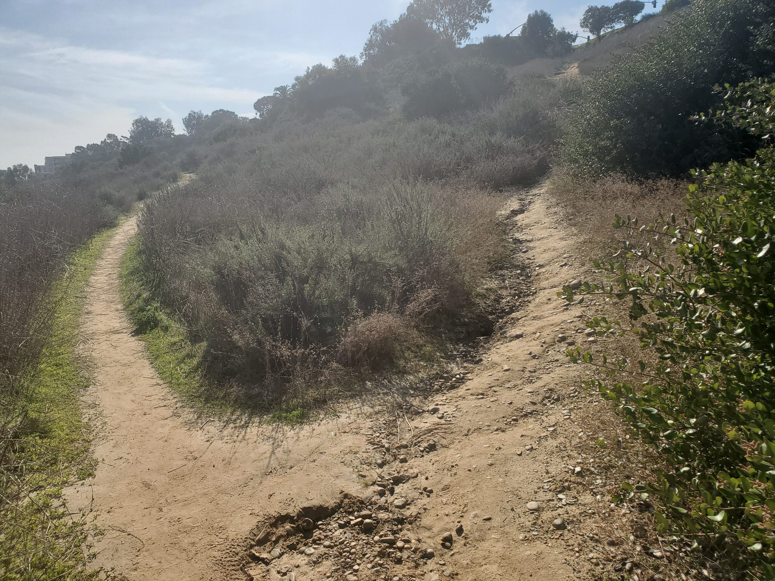
Crossing Florida Dr, you will start to head up the other side of the canyon. Immediately the trail will start to split in several directions. Trail 33 heads left parallel to Florida Drive. There will be several turnoffs. but you should keep heading straight.
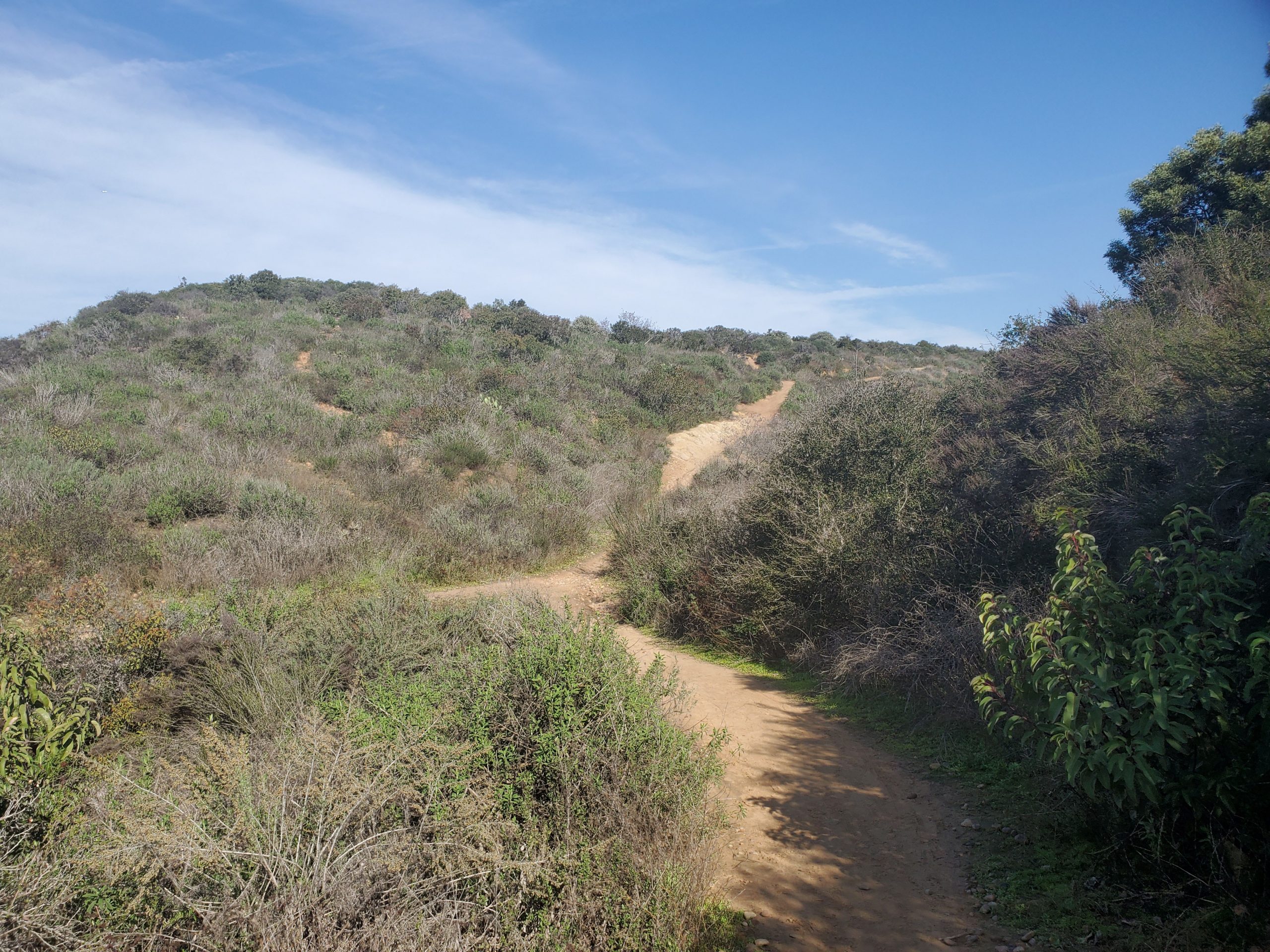
The best way to keep your bearings is to look at the buildings and trails at the top of the canyon along Park Blvd. Right past where you came down from the cactus garden, the trail curves right climbing the canyon.
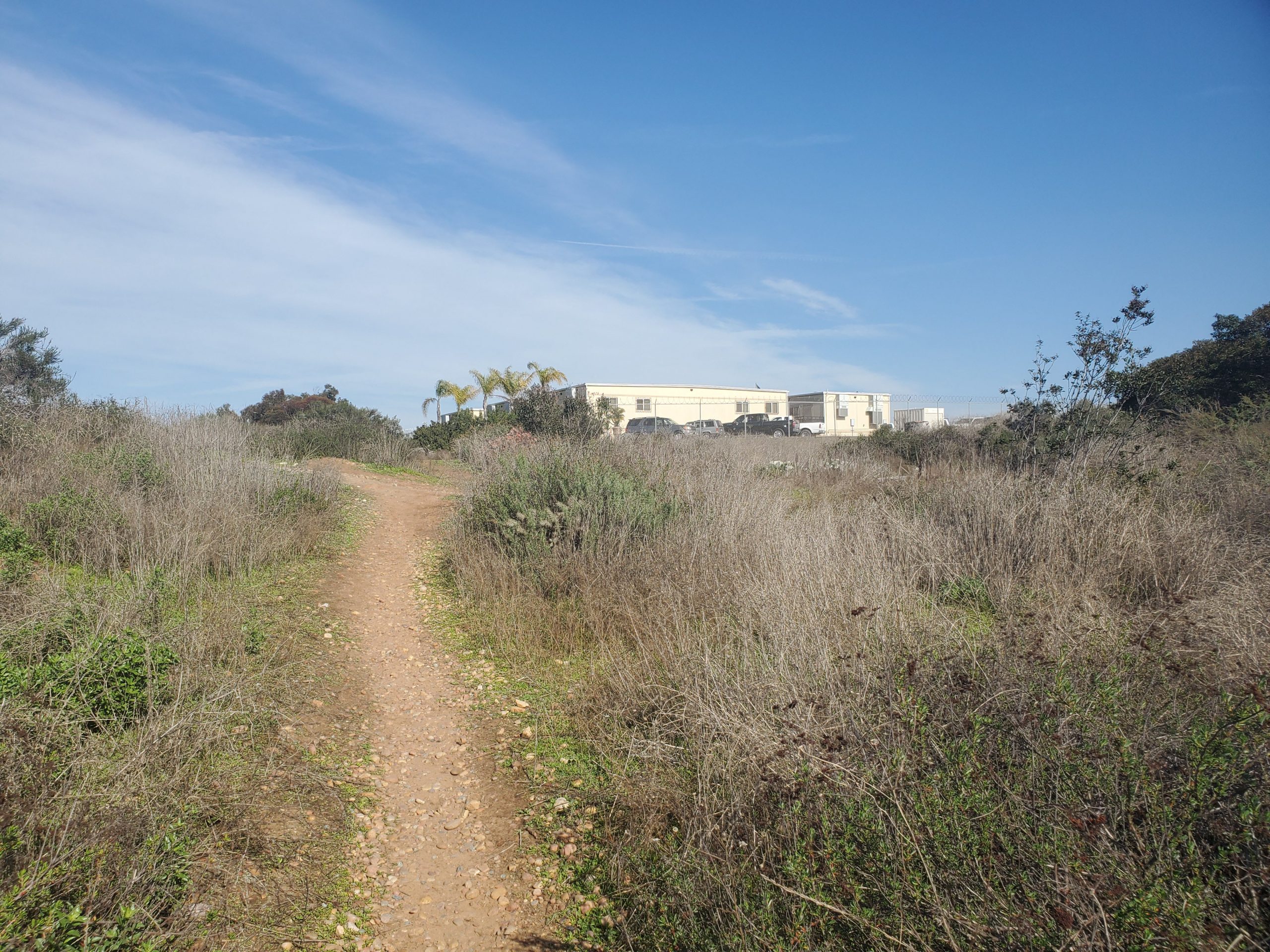
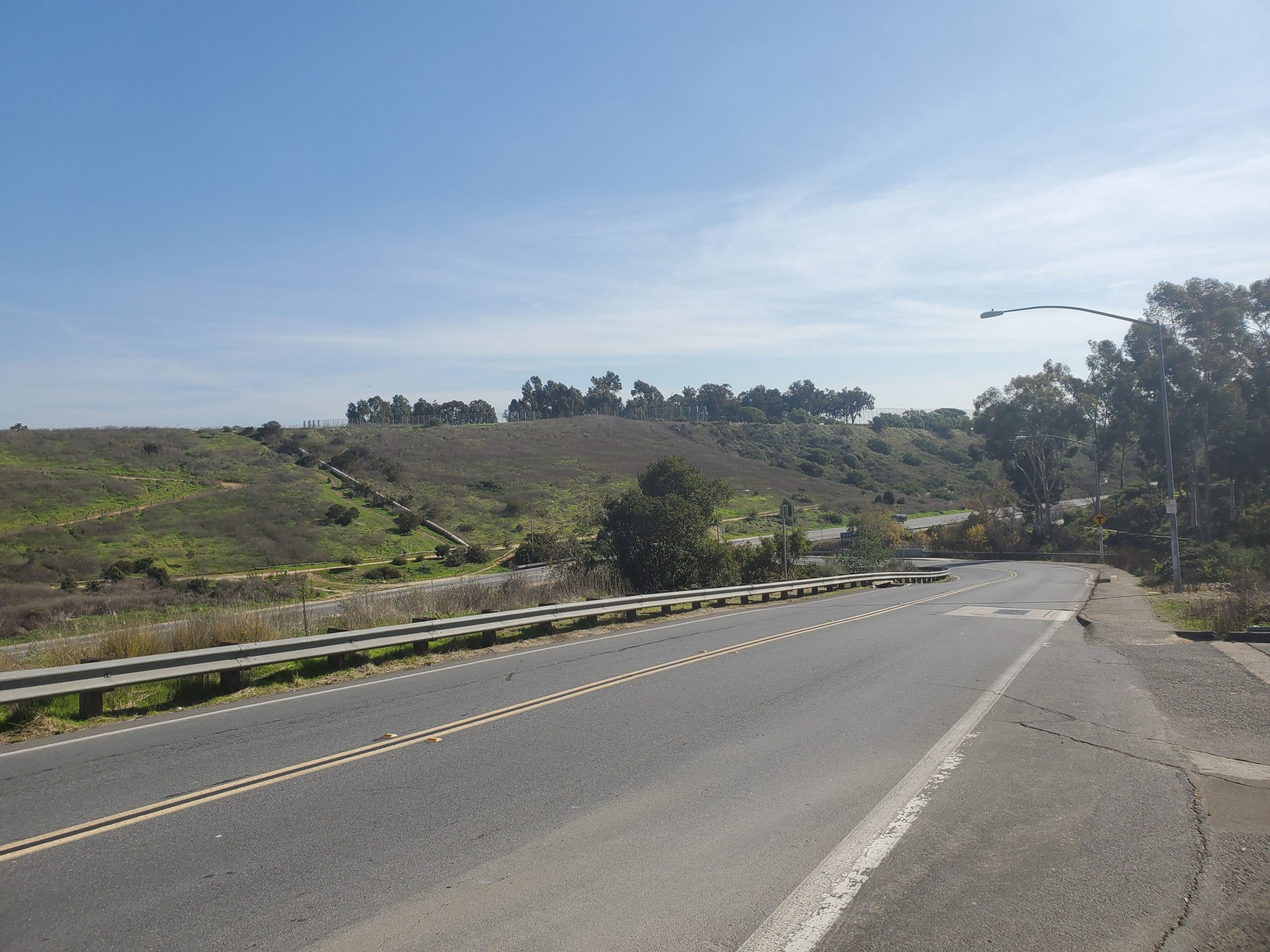
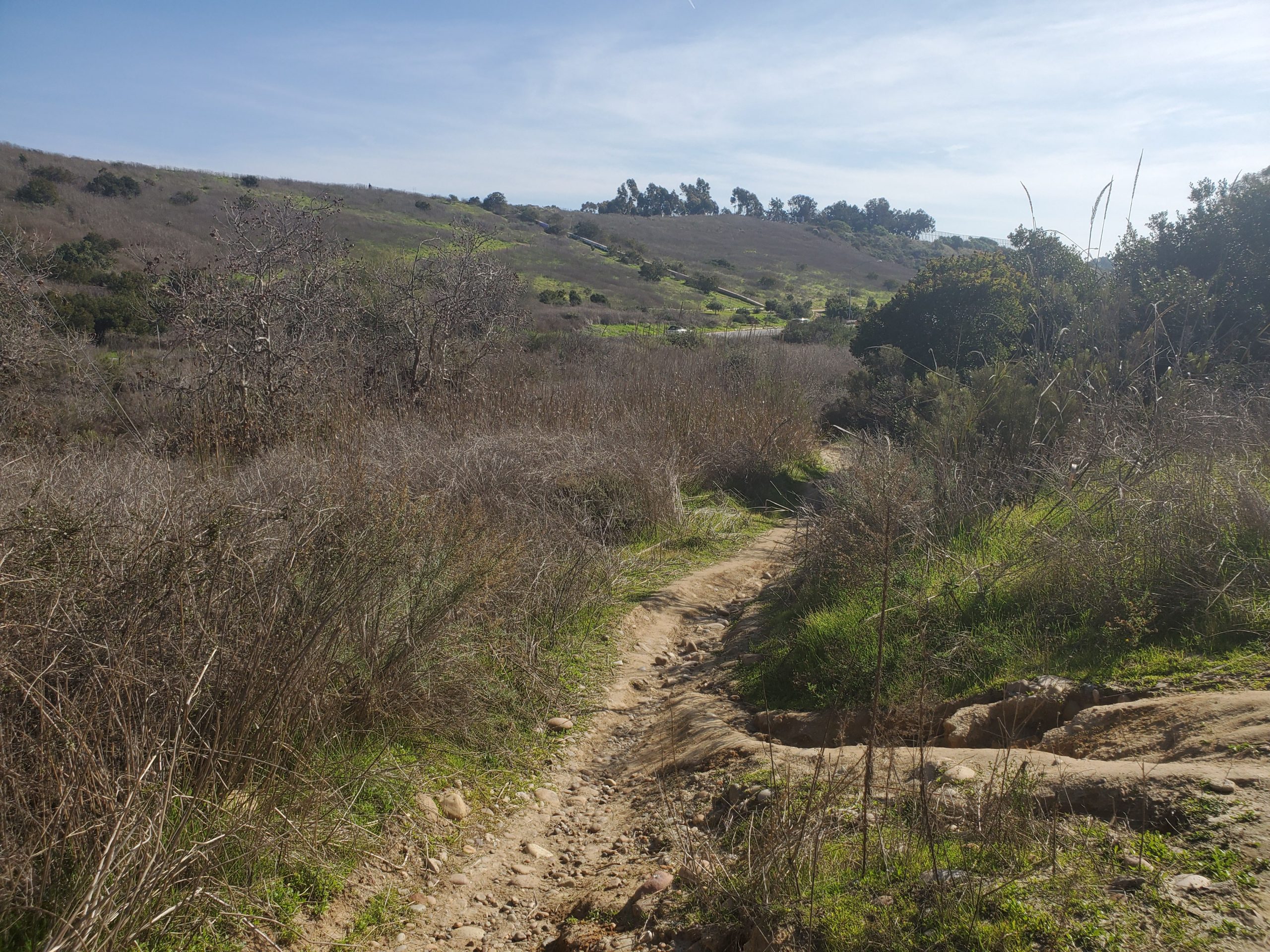
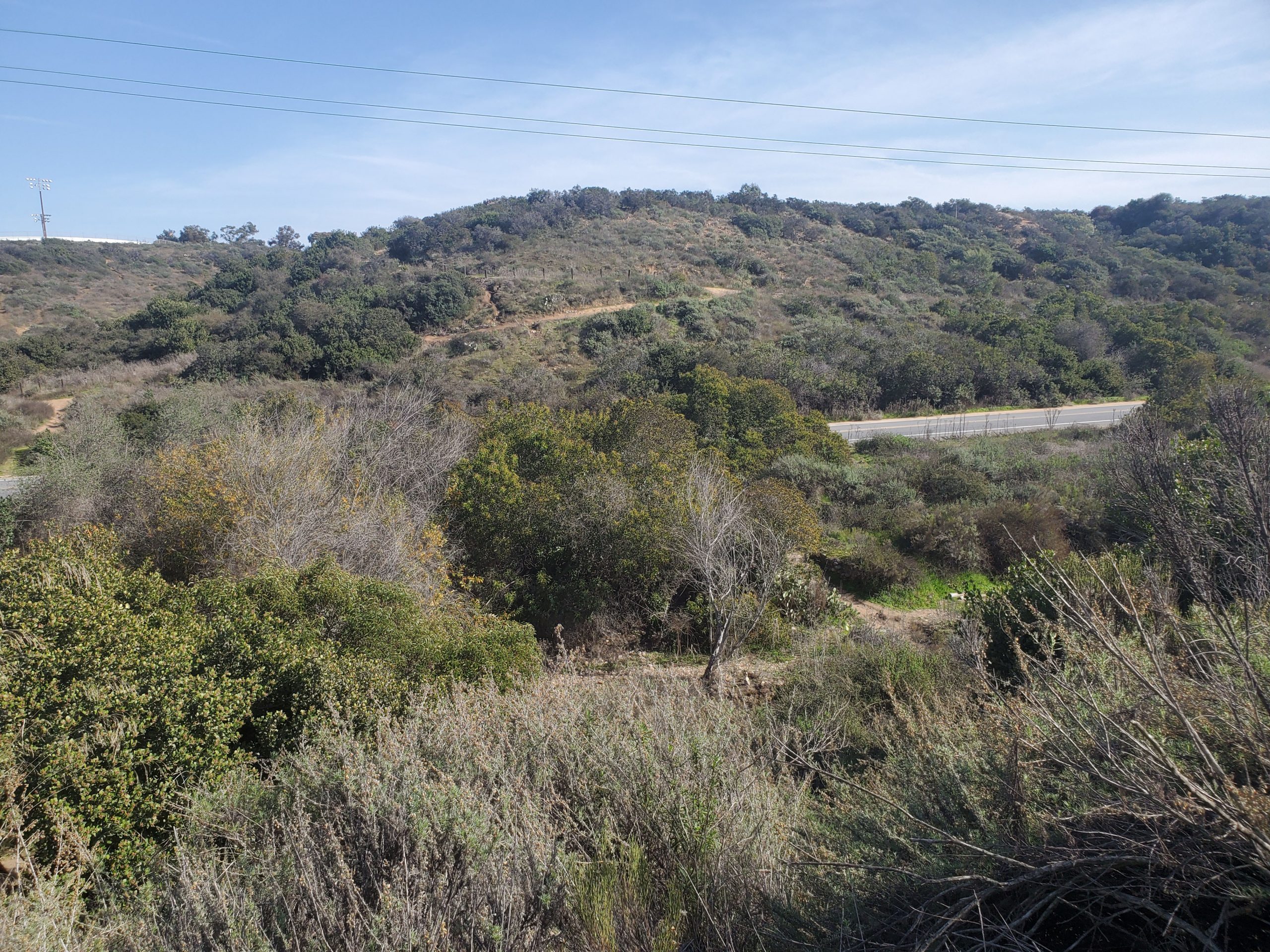
When you reach the top of the canyon, trails break off in all directions. You will see the large Morley Field athletic complex and some park buildings. The goal is to do a hairpin turn and follow a fairly flat trail back the way you came.
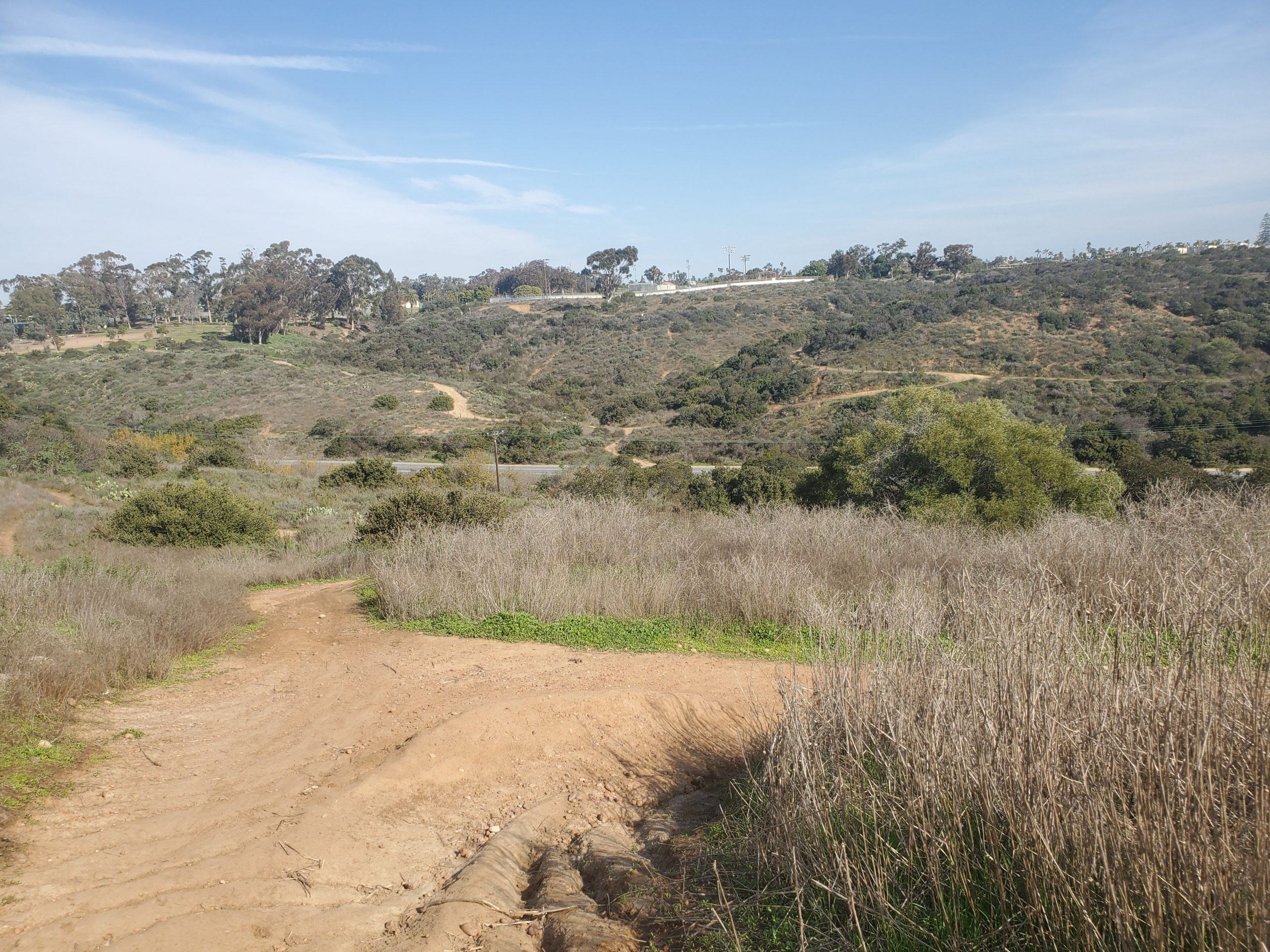
This leads you back along the top of the canyon parallel to the trail you just hiked up on. There are multiple trails splitting off from here and little in the way of trail markers. As long as you head back towards the Park Blvd side on the canyon, they all lead to the downhill trail.
The downhill trail curves to the right towards Florida Dr. You will come out Florida Dr at the bottom of the canyon directly below the Zoo parking lot above. The goal at this point is to climb up the canyon to the stoplight at the intersection of Zoo Place and Park Boulevard.
Once again there are several unmarked trails that split off. After crossing Florida Dr, you will climb stairs and go to the right for a very short distance before turning left. Keep bearing to your left to climb the hill.
The best way to keep on the official trail is always head toward the stoplight at the top of the hill. The stoplight at Park Blvd is across from the San Diego Zoo parking lot. At this point you are back in civilization.
The trail follows Zoo Place towards the Zoo entrance. At the Balboa Park Miniature Railroad turn left towards the Spanish Village Arts Center and Natural History Museum. There is a lot of Zoo construction going on in this area as the Children’s Zoo is being remodeled.
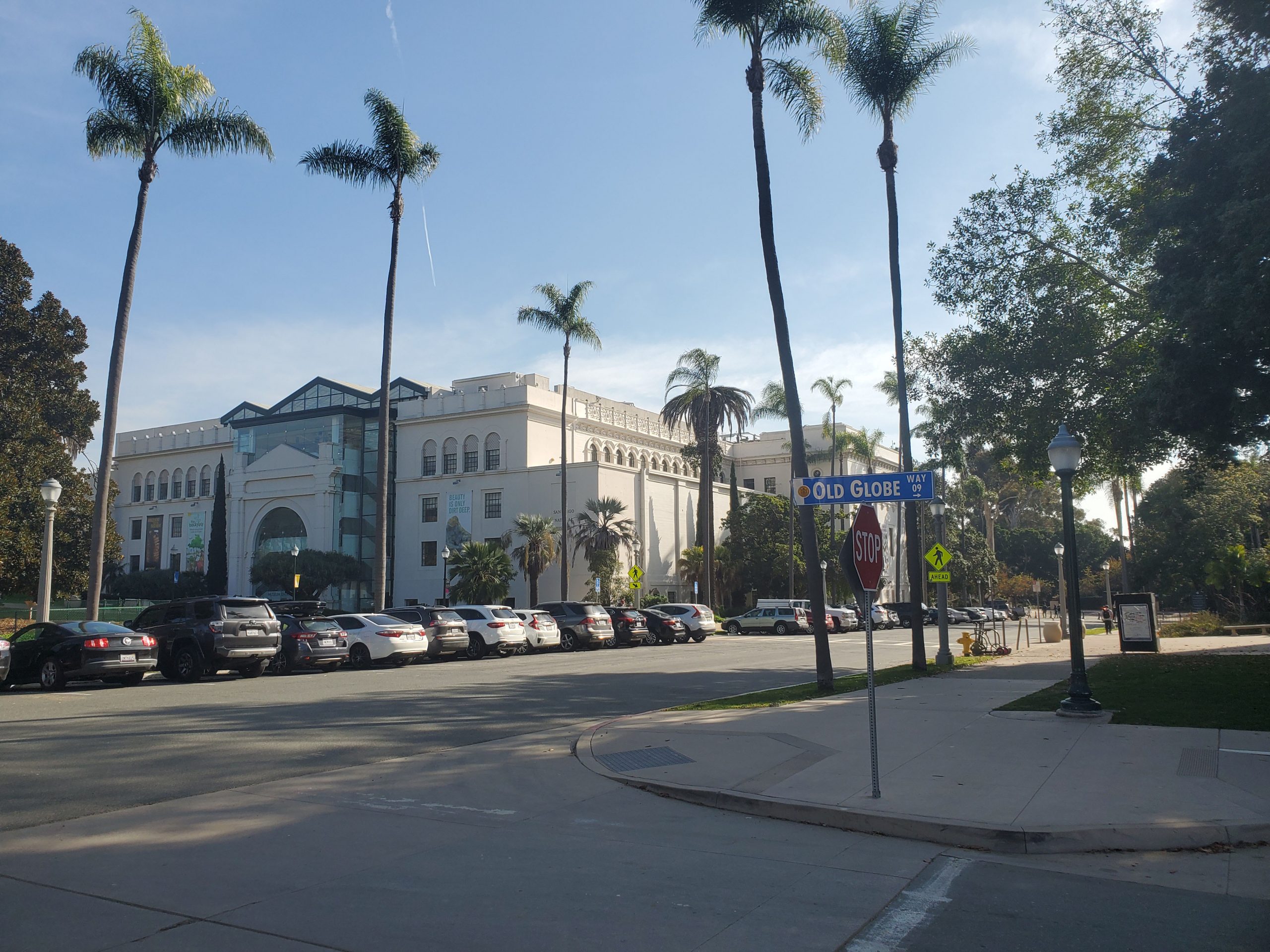
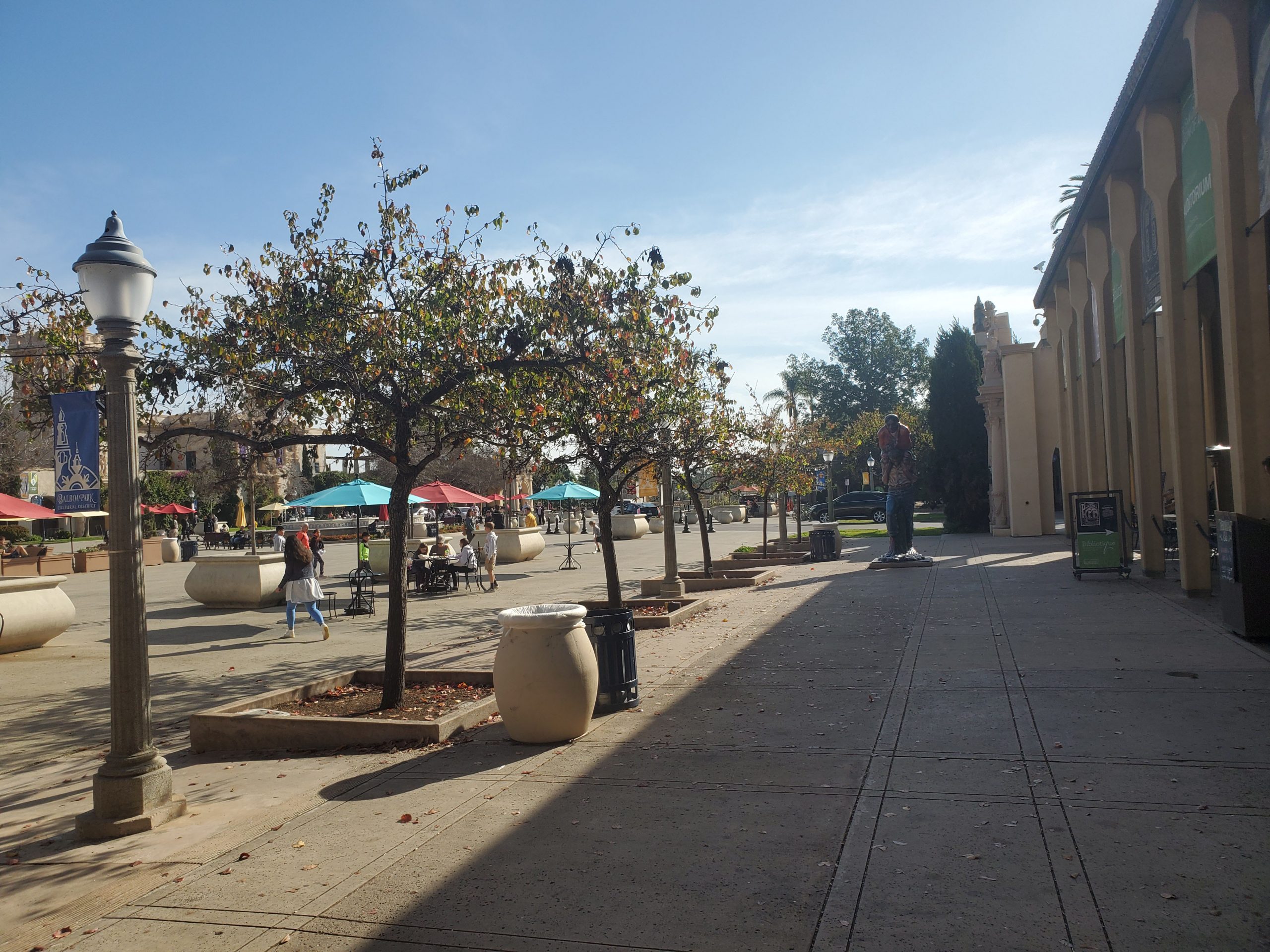
Right past Spanish Village Arts Center you turn right on Old Globe Way. This will take you to the Botanical Building. Head left to the front of the Botanical Building. Then go right along the front of the building past the Lily Pond.
This will take you to the heart of Balboa Park at Plaza de Panama and the San Diego Museum of Art. At the end of the Museum of Art go left by Panama 66 and the Sculpture Garden. At this point the official trail follows Pan American Road by the Mingei International Museum.
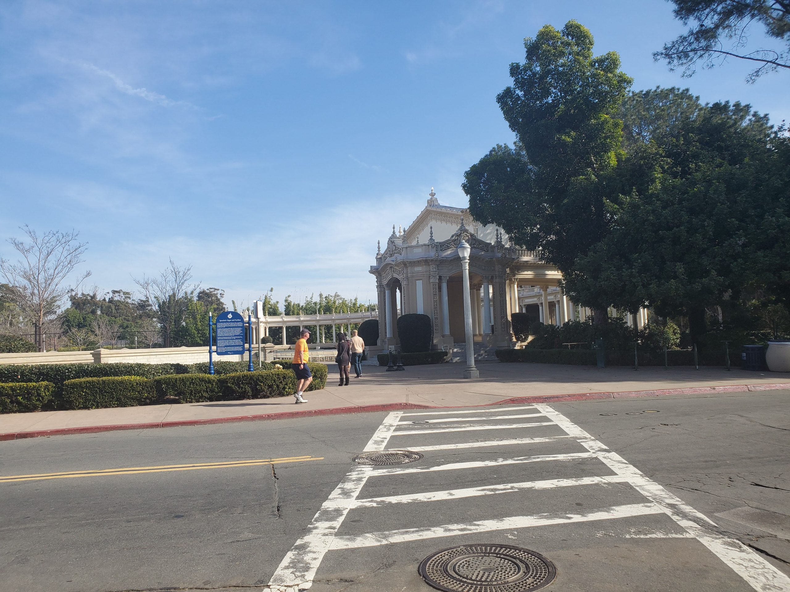
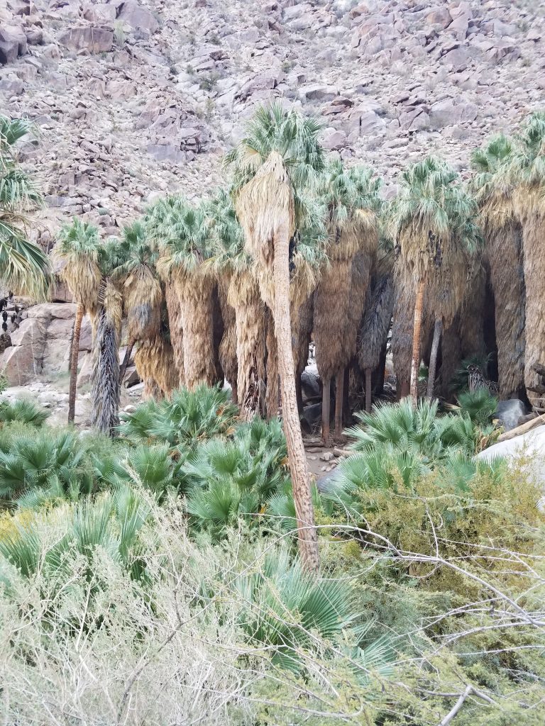
On your left you will see the Spreckels Organ Pavilion. At this point you want to take staircase to your right down into Palm Canyon.
Once again, the lack of trail markers makes the official route somewhat confusing. You do not want to head all the way into Palm Canyon but instead take the trail to your left that runs parallel to Pan American Rd.
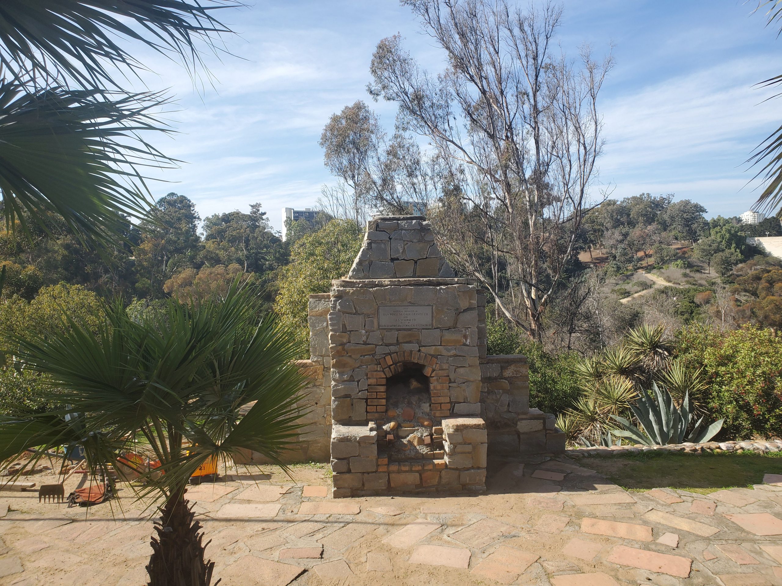
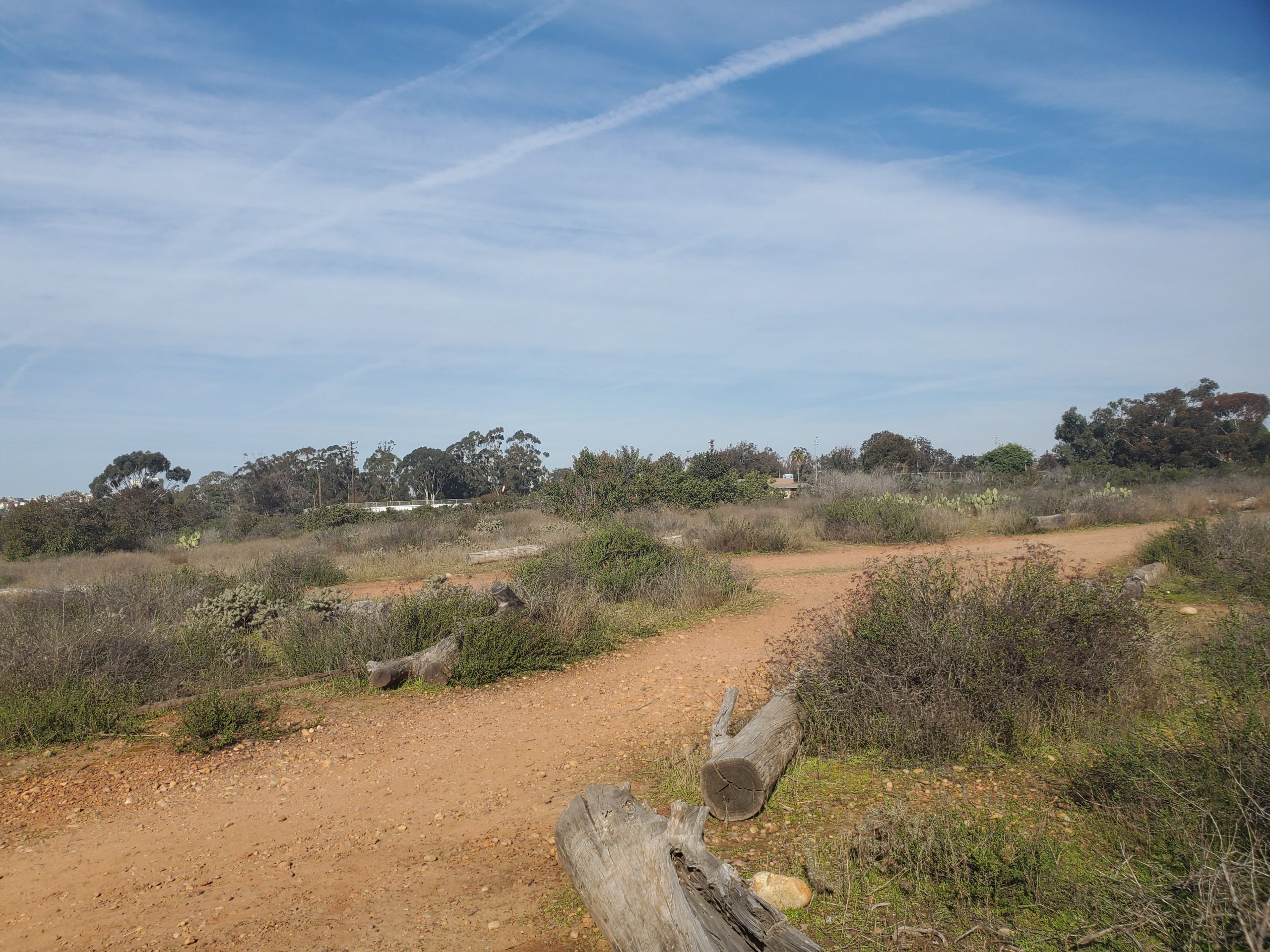
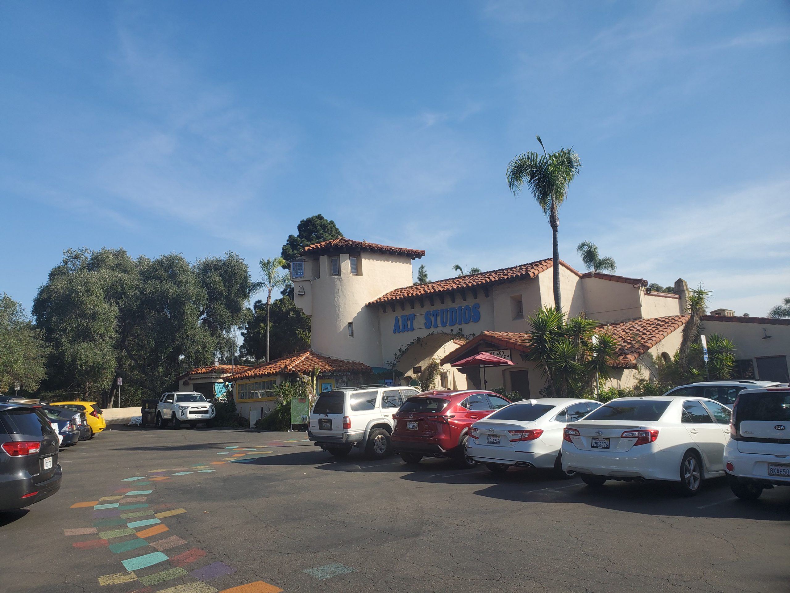
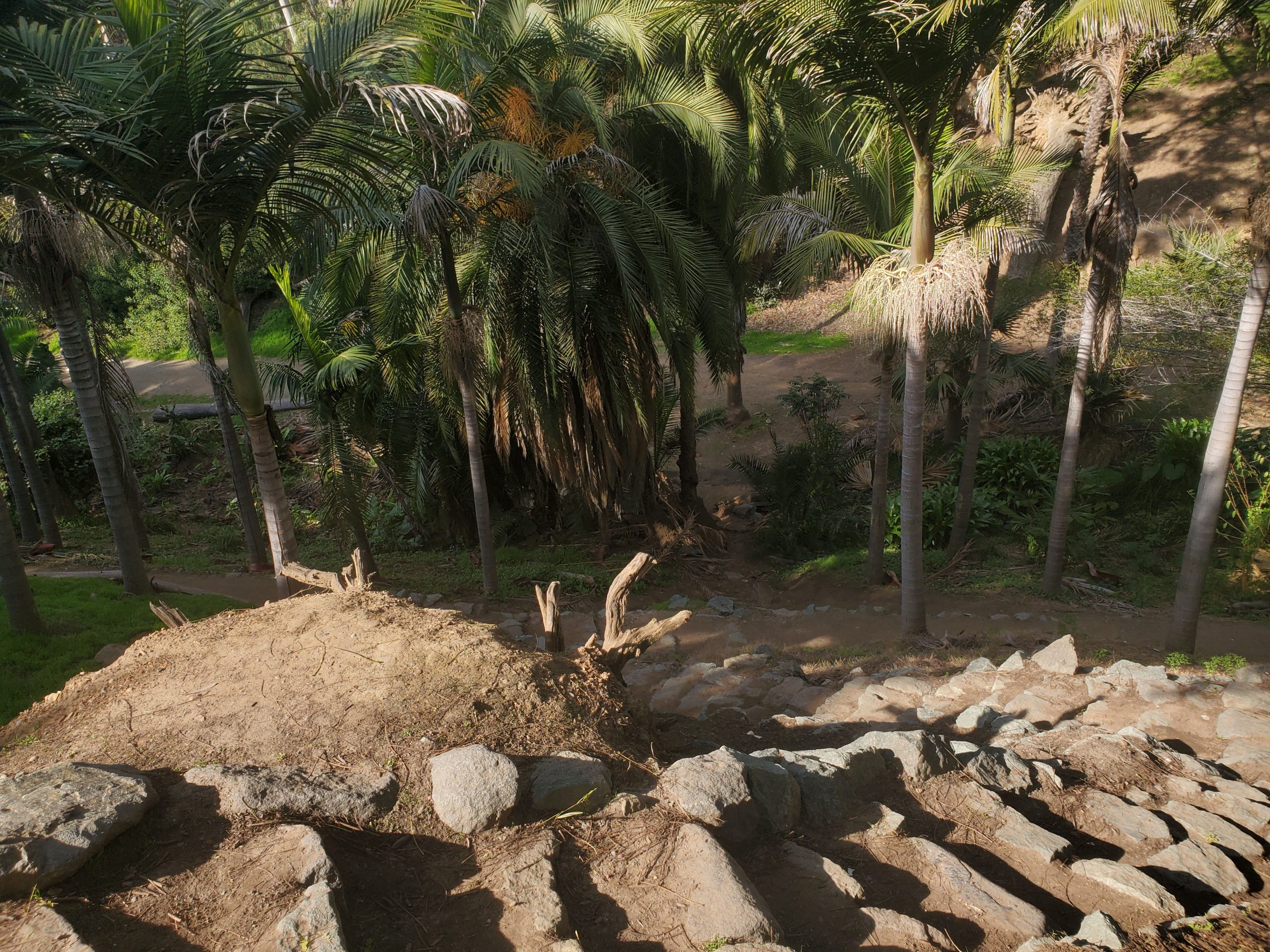
This trail takes you behind several buildings before coming out at the Old Cactus Garden from 1935. This is a cool hidden part of Balboa Park that is being restored. I believe eventually trails will lead off from here. However, for now you will walk behind several buildings including the San Diego Automotive Museum.
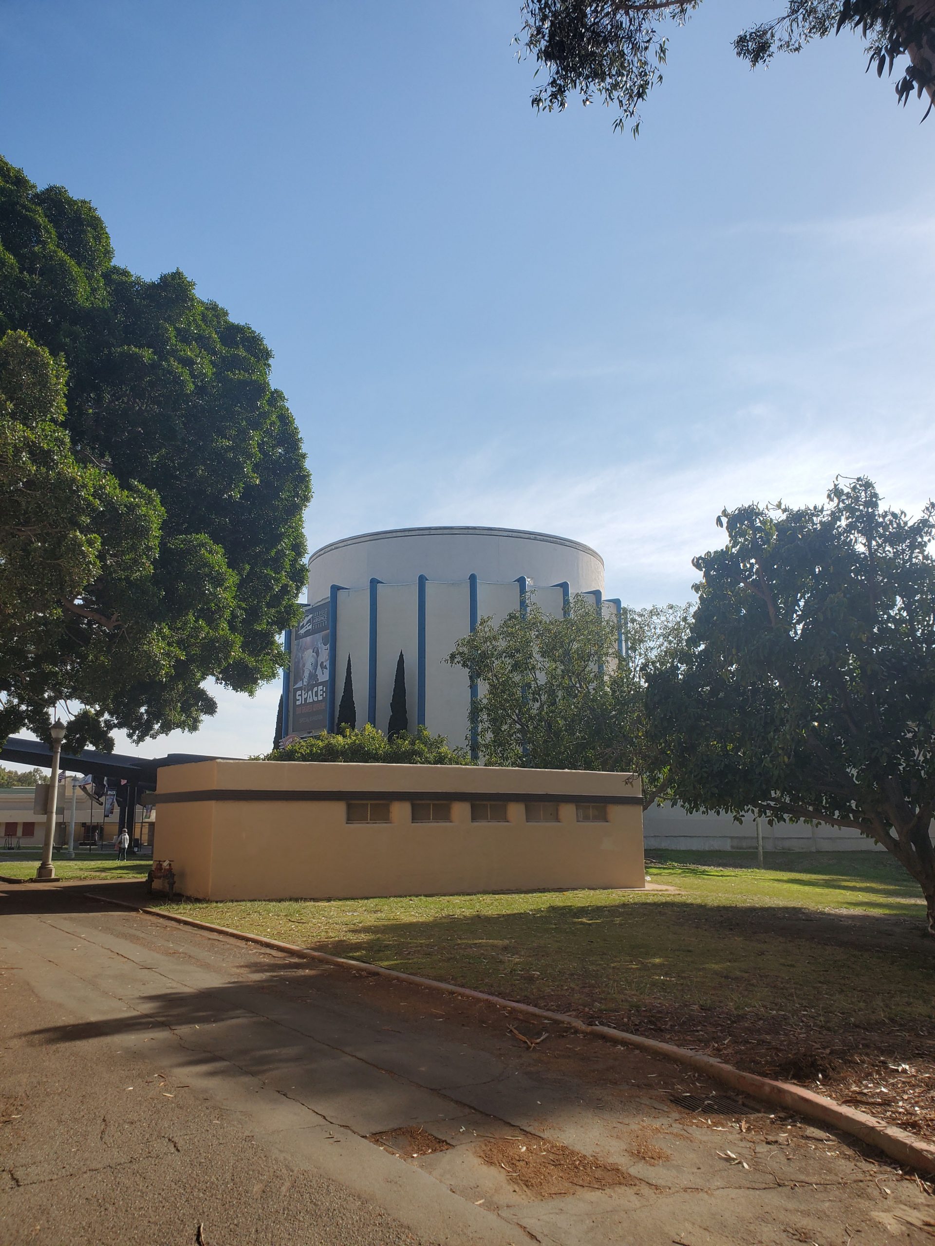
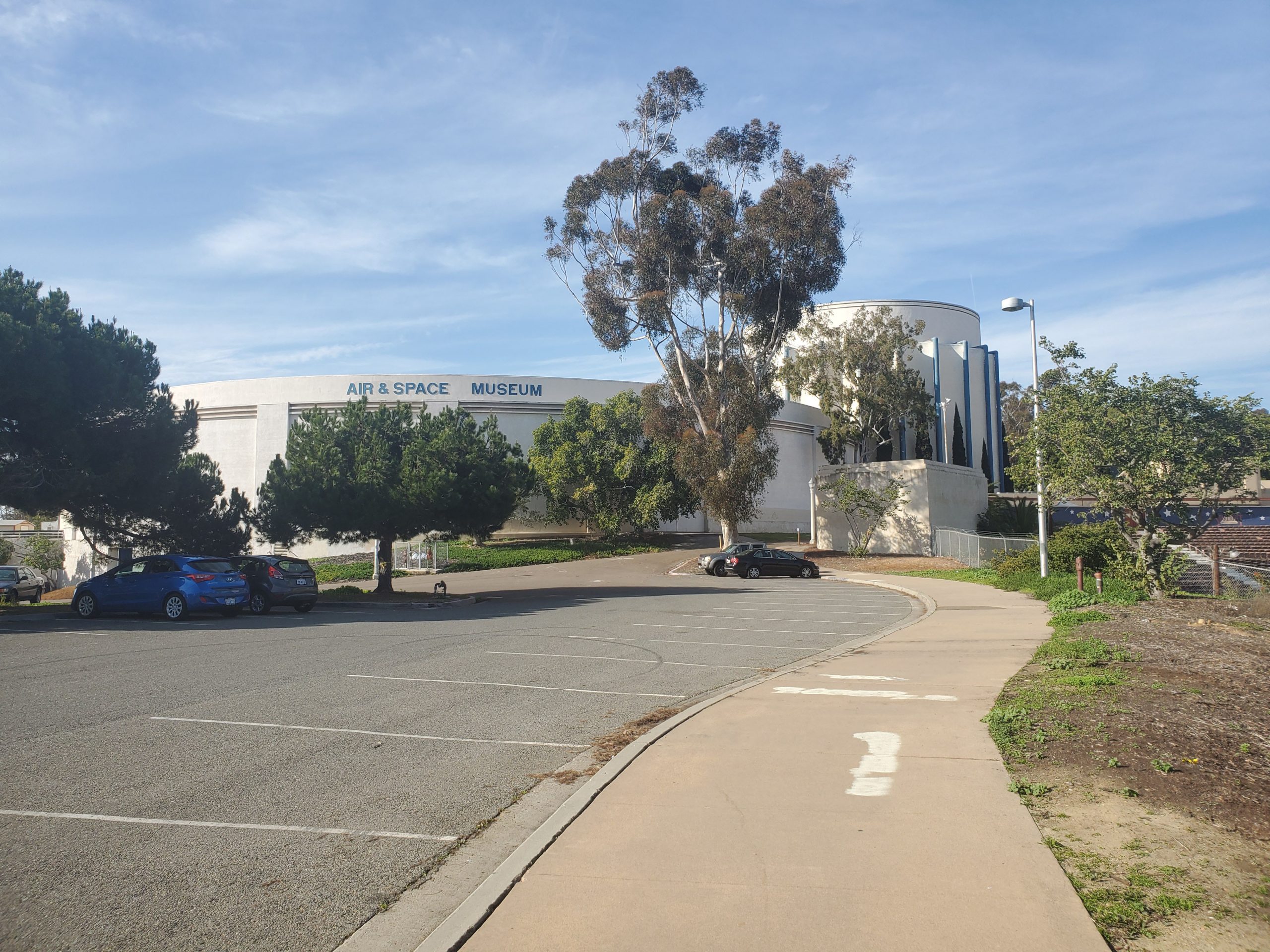
The trail then follows the road behind the circular Air and Space Museum. At first, I was uncertain if this was the official trail but there was actually one of the few trail markers. This is not a scenic area, but it has some great views of downtown and the planes landing at the airport.
From here you simply walk along the road past the now defunct Starlight Bowl, through a parking lot to President’s Way. Make a right at President’s Way and the loop ends a short distance ahead at the intersection with Park Blvd.
Overall this is a great 4-mile hike that takes you through the heart of Balboa Park. The trail is poorly marked, but even if you don’t follow it exactly you will get to see lots of cool stuff. It is hard to get lost and there are plenty of places to keep your bearing.
The only downside is the east side of Florida Canyon can be isolated and there can be some sketchy characters. If this is an issue, I would suggest doing Trail 31 which is similar but avoids going into Florida Canyon.
Go here for our guide to top 10 San Diego Hikes

One Comment
Comments are closed.