San Diego Hikes: North Fortuna via East Fortuna Staging Area
Mission Trails Regional Park introduced the 5-Peak Challenge in 2015 in order to get hikers to explore more trails. North Fortuna mountain can be accessed from both the west and east end of the park. This hike is the suggested route up North Fortuna via East Fortuna Staging Area.
- Starting Point: East Fortuna Staging Area, Equestrian Circle, Santee, CA 92071
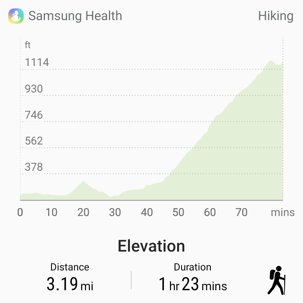
- Length: 3 miles each way
- Elevation: 1,100 feet
- Type: out-and-back with loop option
You can find full information on the 5-Peak Challenge at our full guide to Mission Trails Regional Park. Basically the 5-Peak Challenge was created because Cowles Mountain, the highest point in the city of San Diego, was too crowded. The idea was to get hikers climbing the four other mountains in the park.
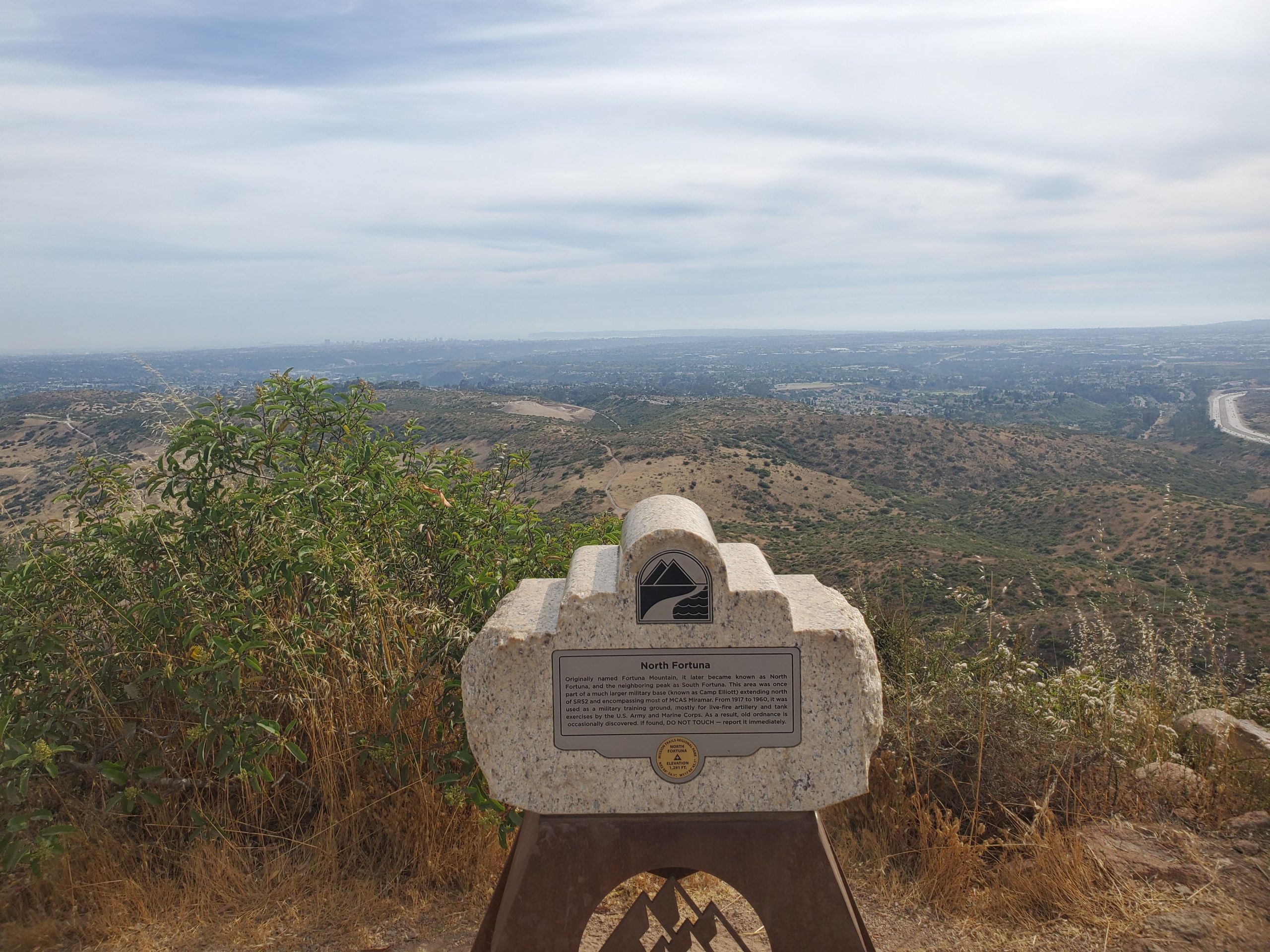
At 1,291 feet, North Fortuna is number three in elevation. However, it is a longer hike than Cowles Mountain. This hike is the suggested route in the official Mission Trails Regional Park 5-Peak Challenge guide. For other routes up the mountain you can see our guide here.
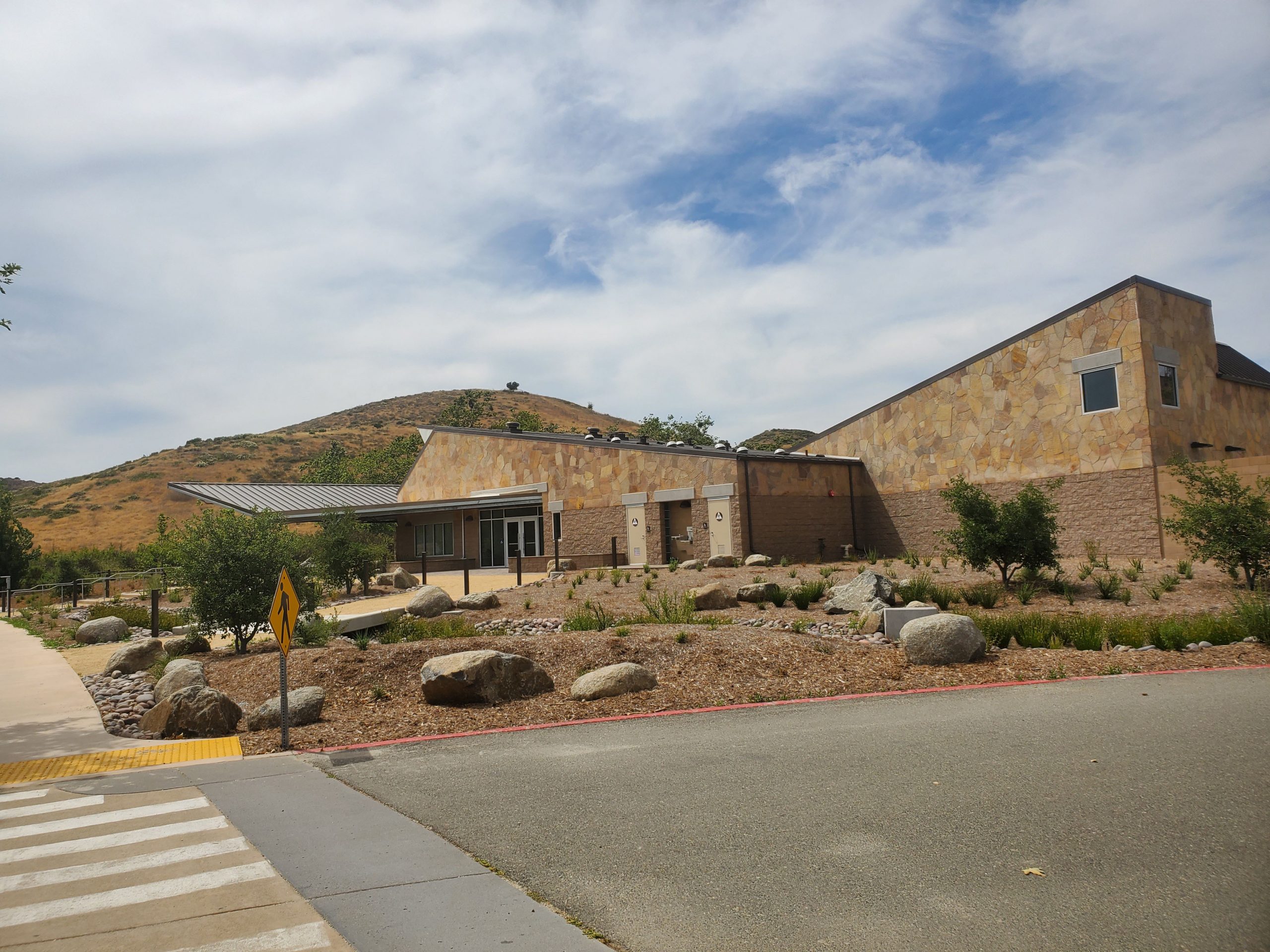
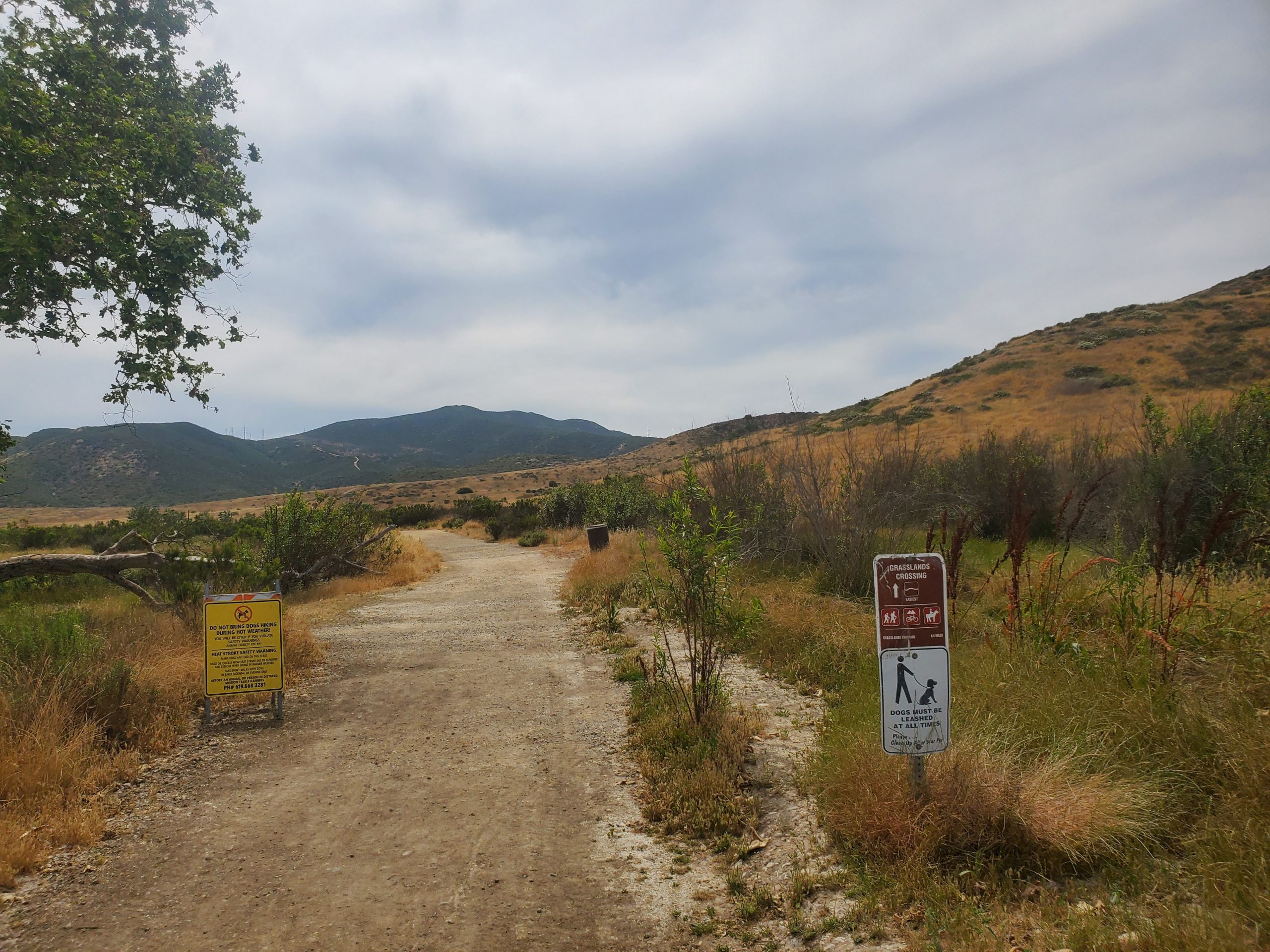
The hike starts at East Fortuna Staging Area, directly off the Mast Blvd exit from highway 52. There is a nice parking lot, picnic tables and a new ranger station that opened in February 2020 (right before COVID-19 closed the park down in March).
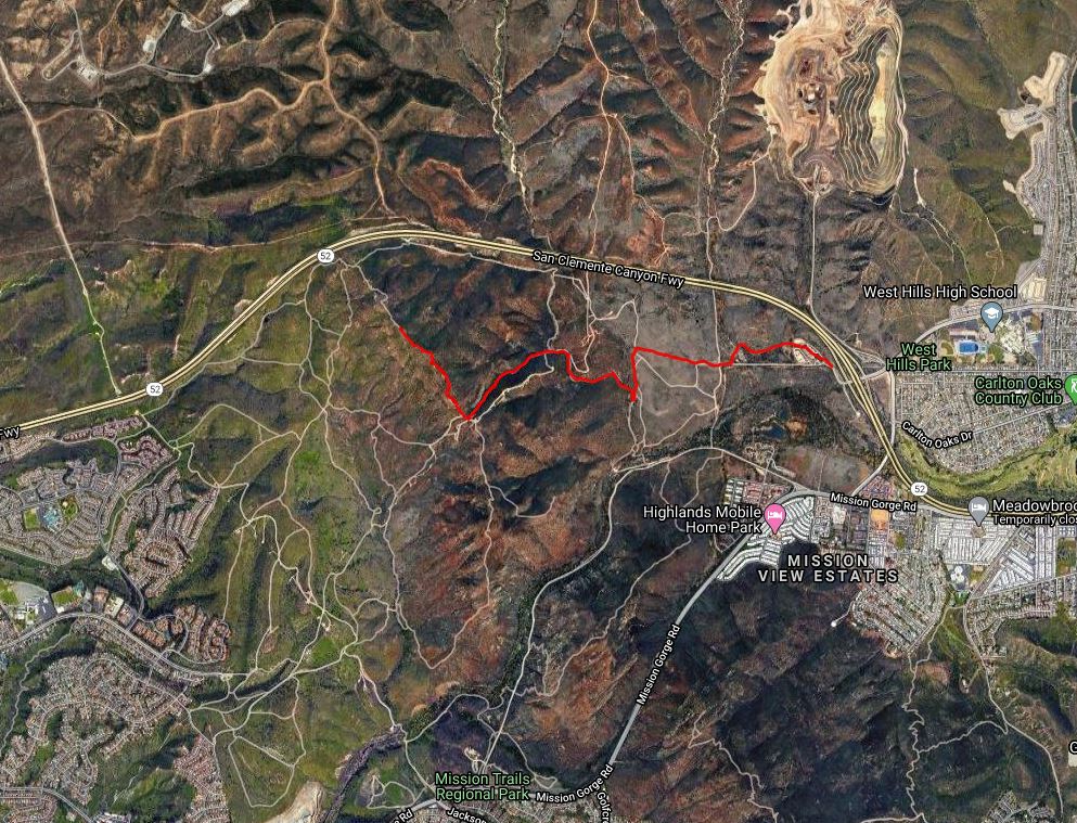
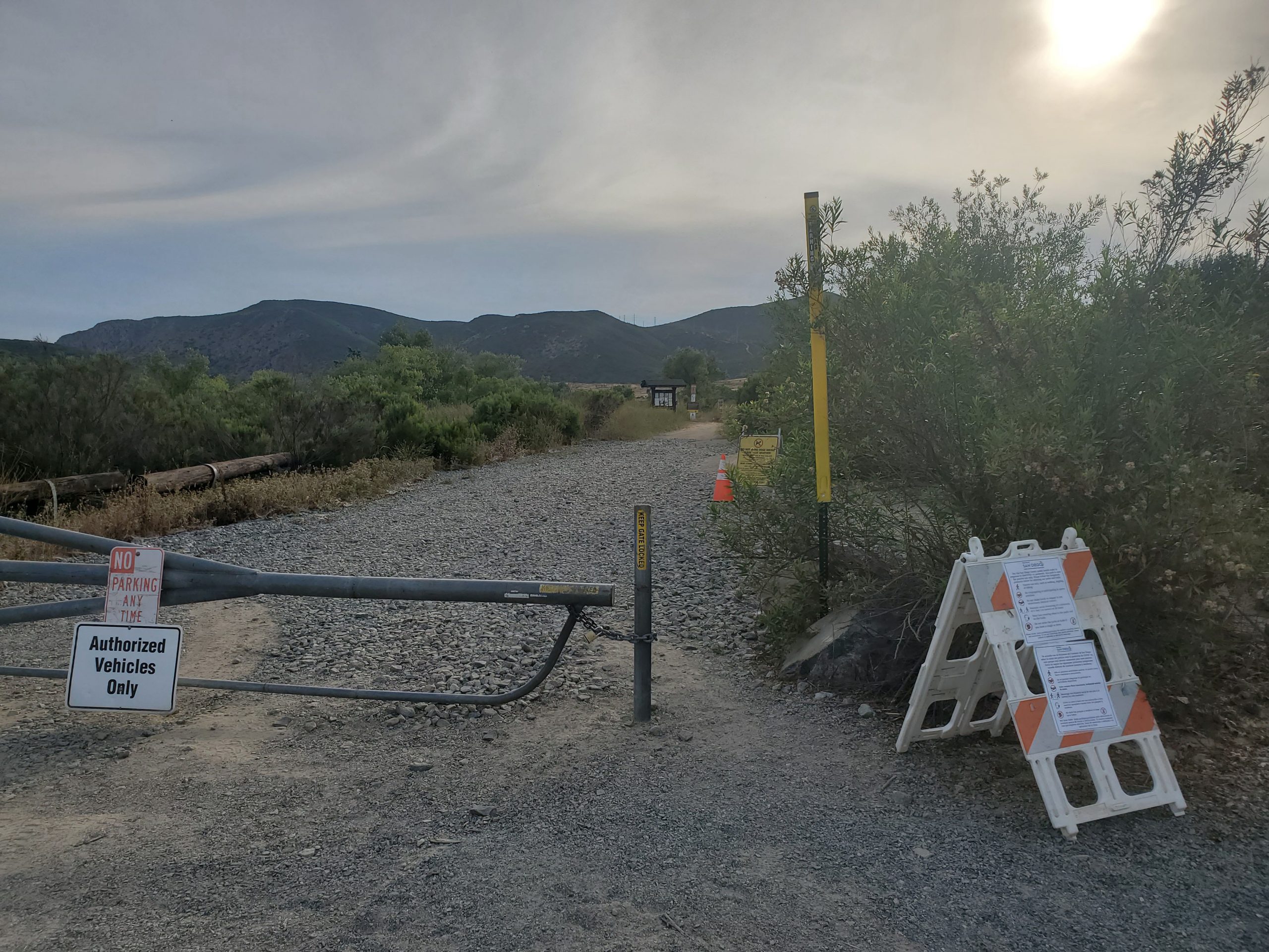
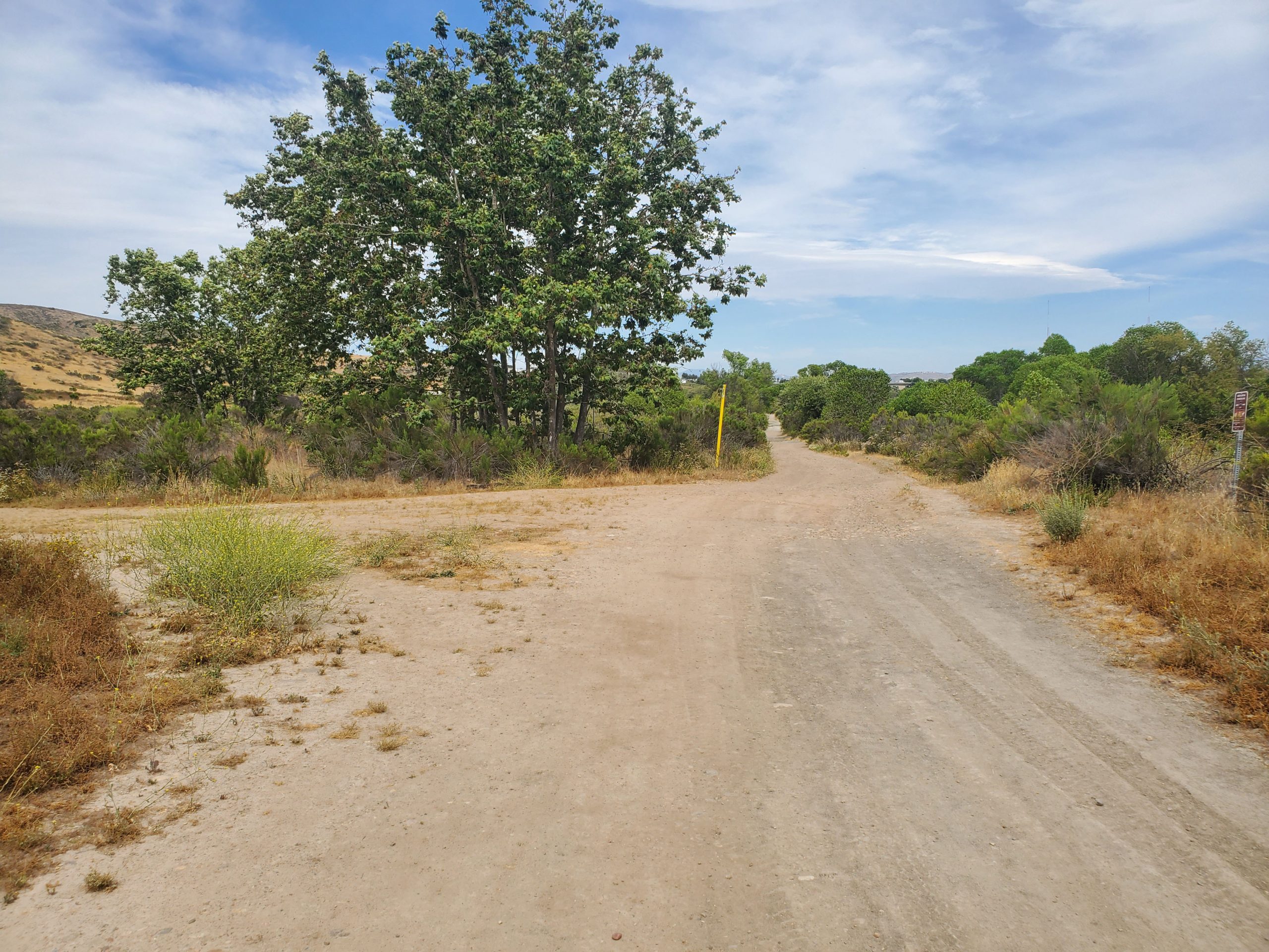
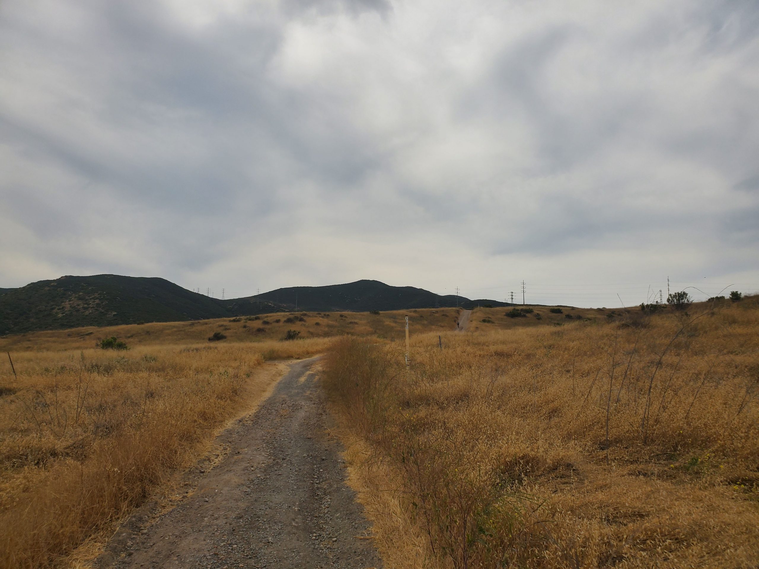
From East Fortuna Staging Area there are two routes one can take to head up North Fortuna. The main route is along the Perimeter Trail road. This is on the left at the entrance to the parking lot.
The other route is along the trail in the back of the parking lot by the new ranger station. Either way the two trails meet up about a half-mile into the hike. For diversity one can do one trail on the way in and the other coming out.
A short distance past where the two trails meet, the suggested route turns left and heads a short distance to Grasslands Loop Trail. Turning right on Grasslands heads back to an intersection with Perimeter Trail.
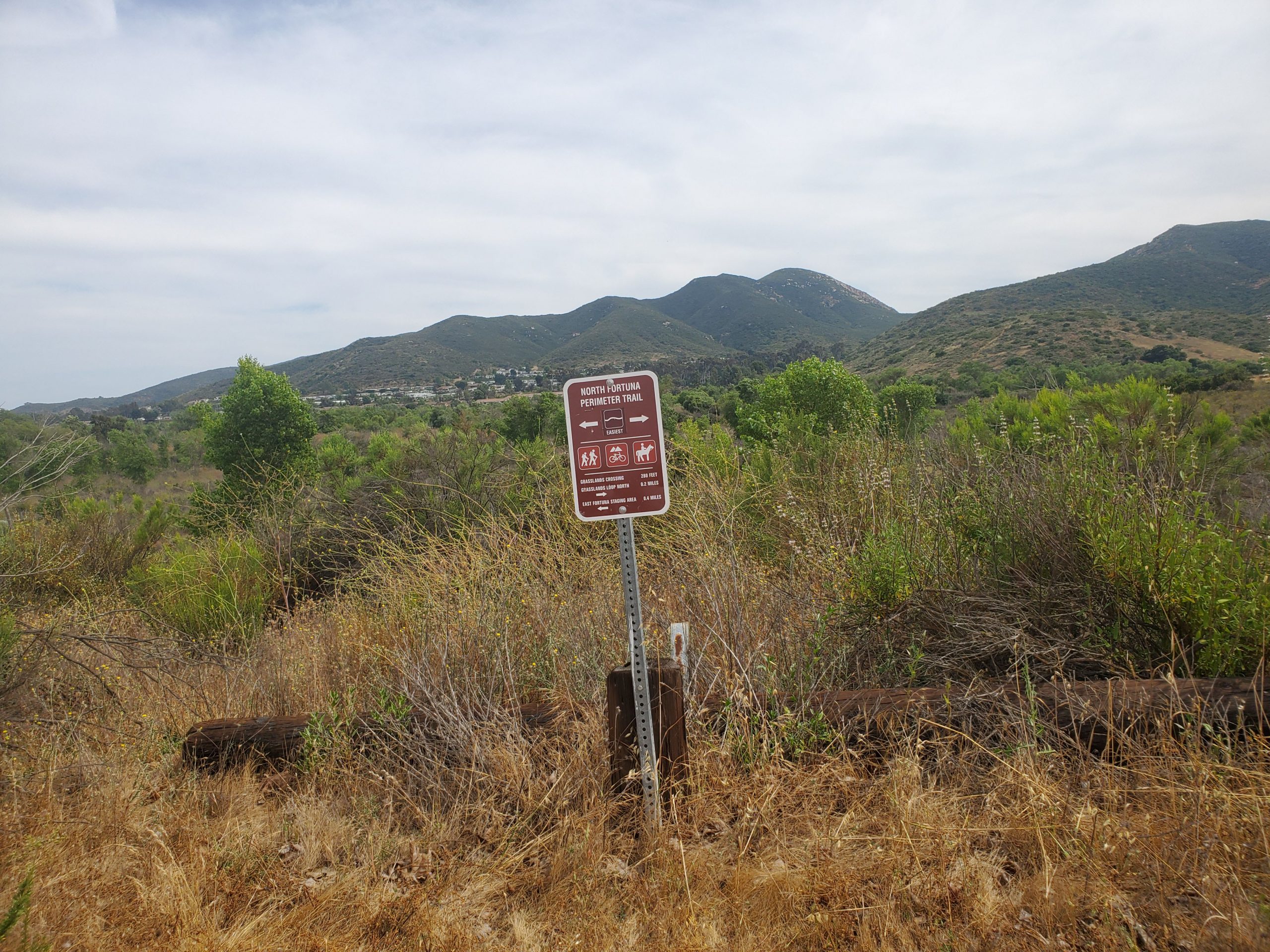
It can be simpler to simply continue straight on Perimeter Trail. This is actually shorter but does have a minor uphill section. Once again, the trails meet at the same place, a large intersection of trails.
Turning right at the intersection will take you along North Fortuna Perimeter Trail. This is NOT the suggested route but is another option for hiking up the mountain. It is also possible to combine this with the suggested route to make a loop hike.
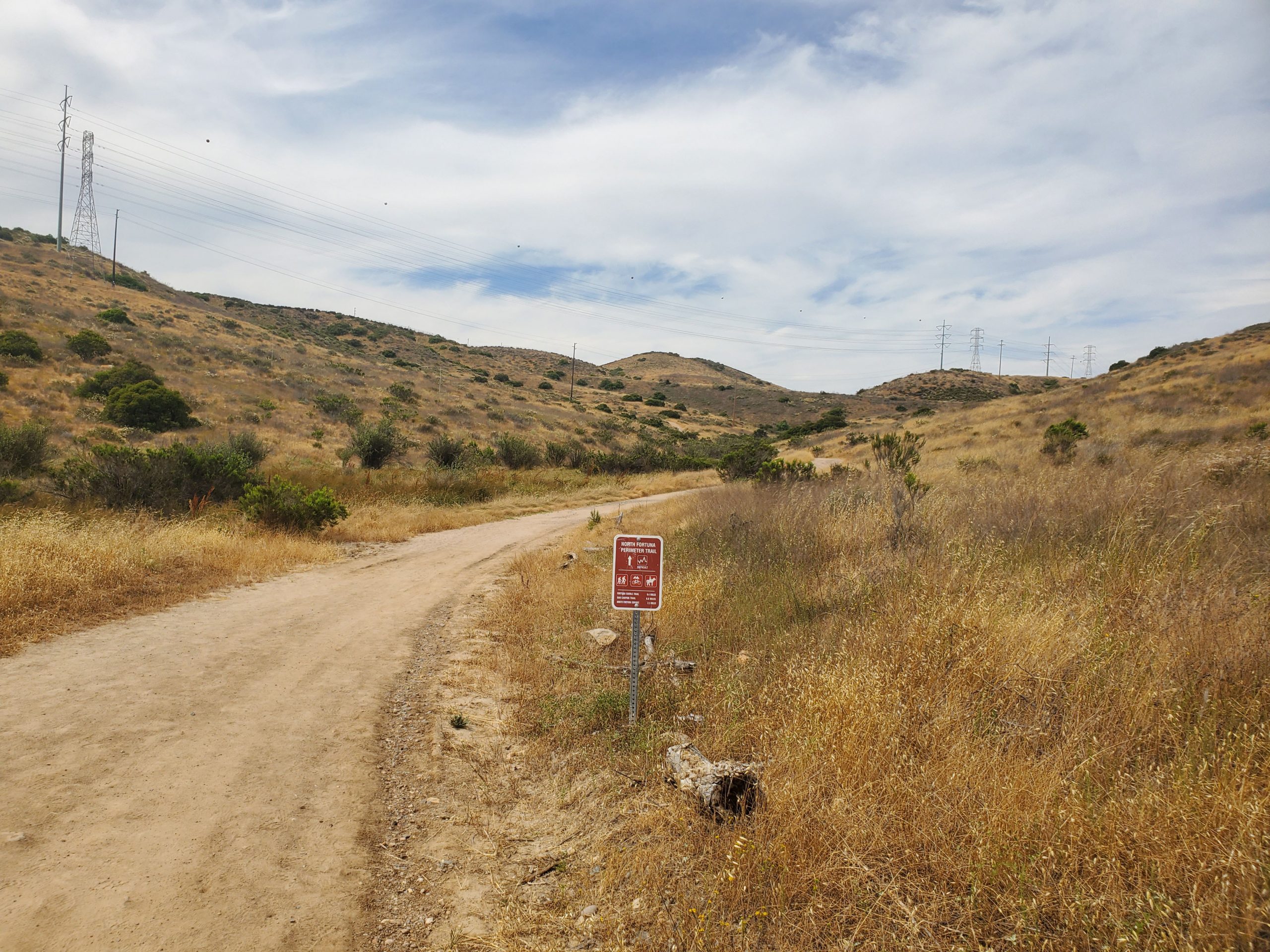
Our guide to the North Fortuna Perimeter Trail is here. It should be noted that this trail is significantly more difficult. There are several steep up and down sections on Perimeter Trail. The downhill sections can be particularly hazardous because there are no switchbacks.
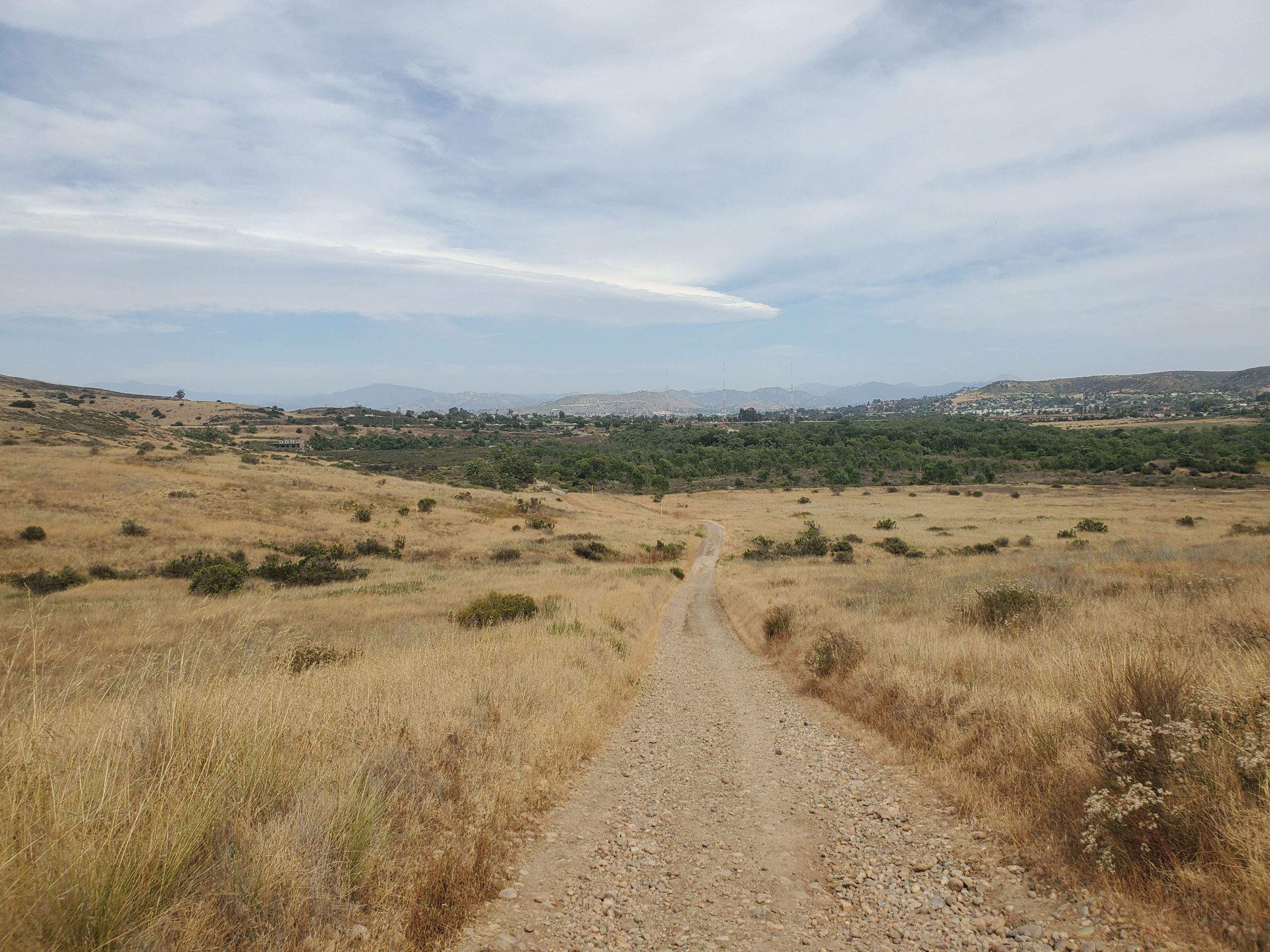
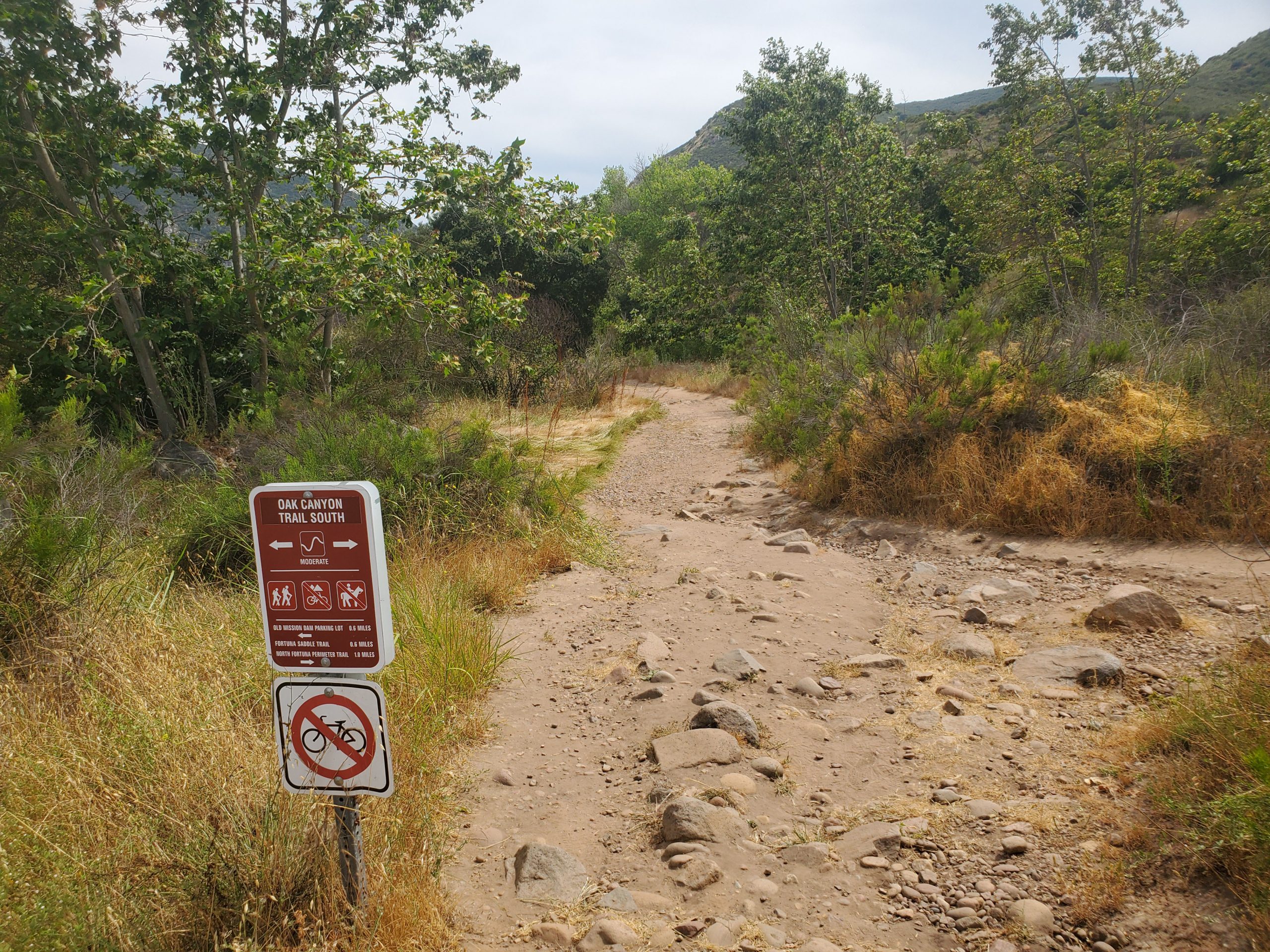
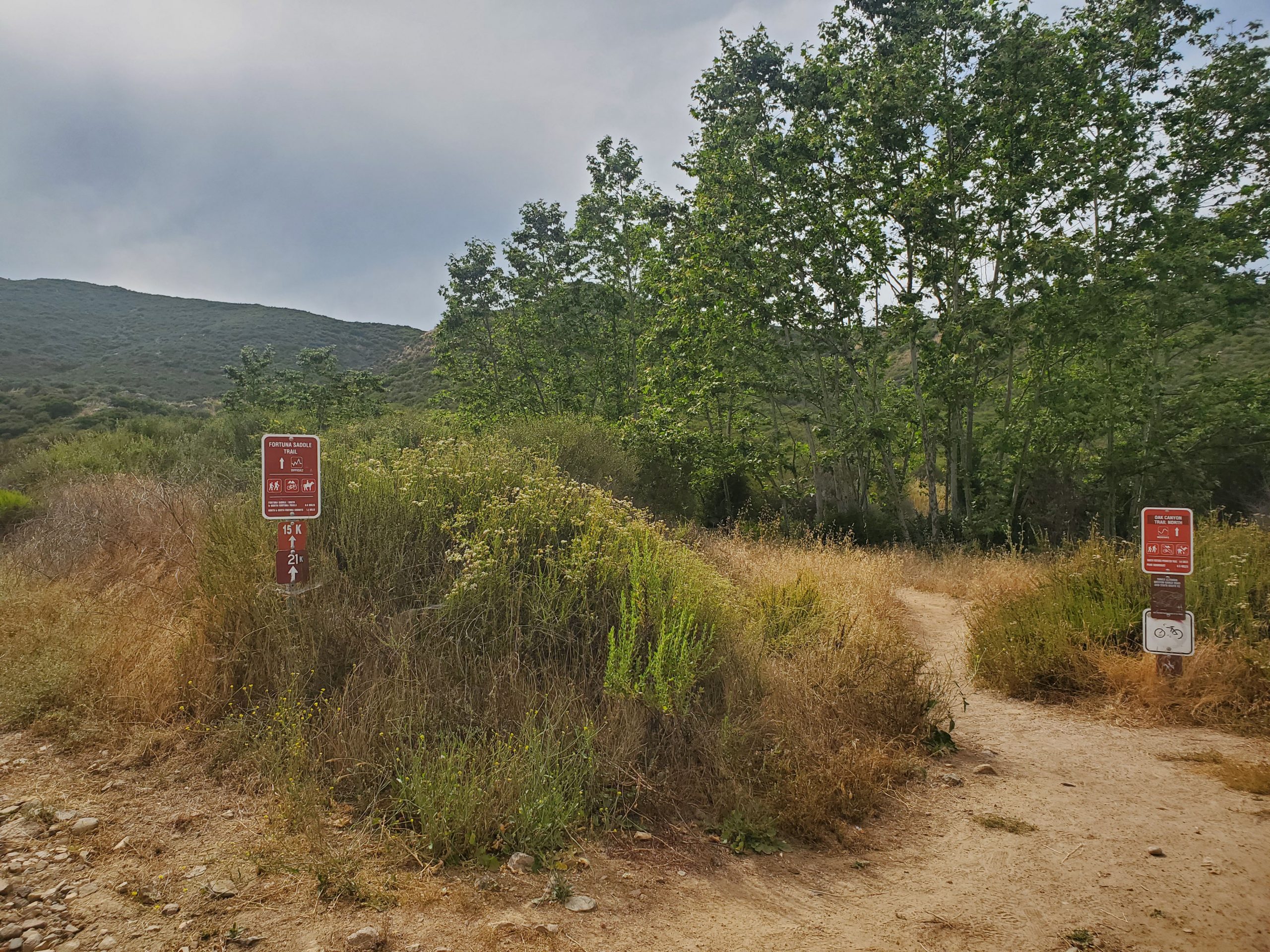
For the suggested route, turn left at the intersection along Grasslands Loop. At this point you are heading away from North Fortuna for about 0.2 miles. A trail to the right splits off to Oak Canyon Trail.
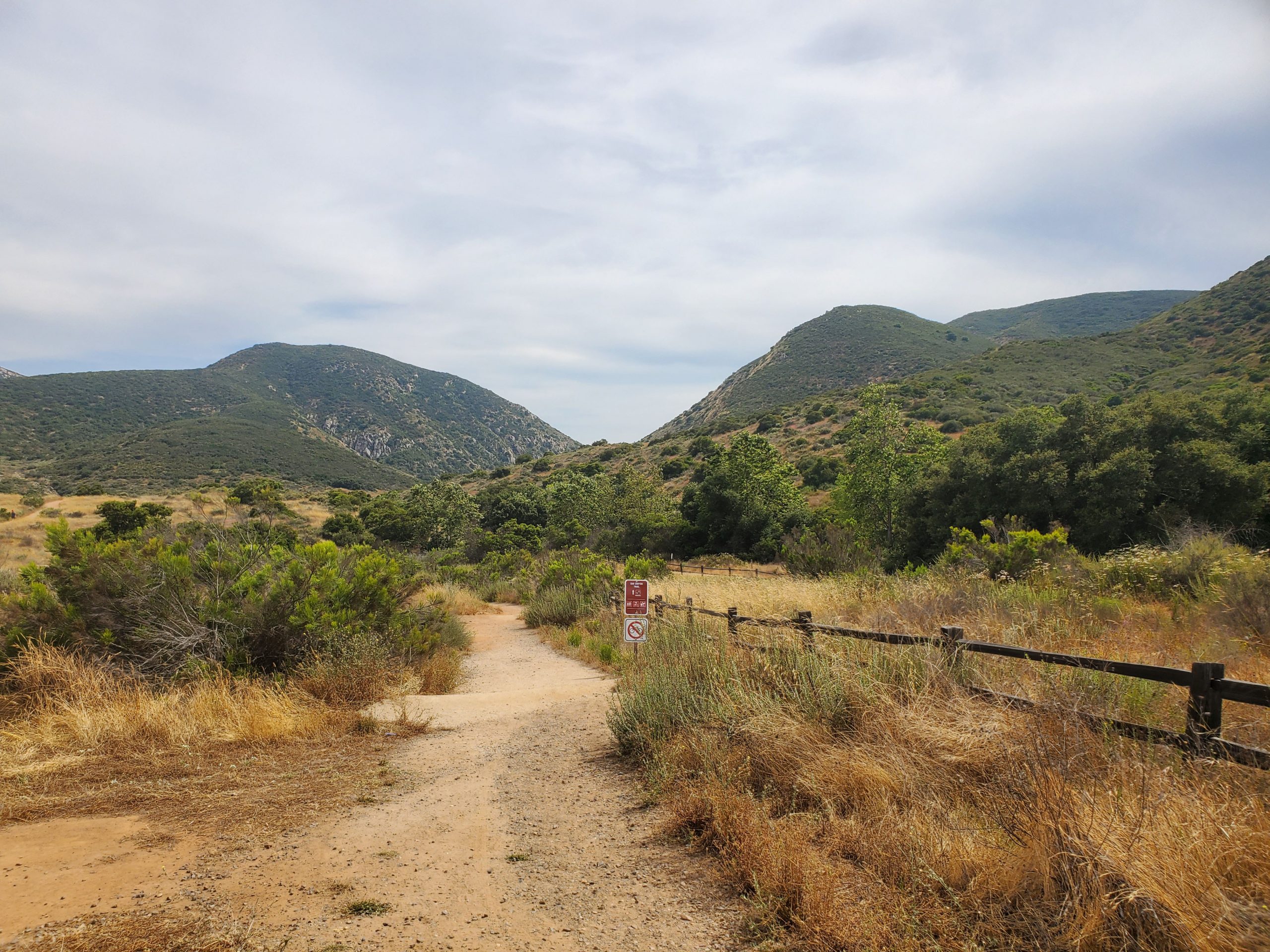
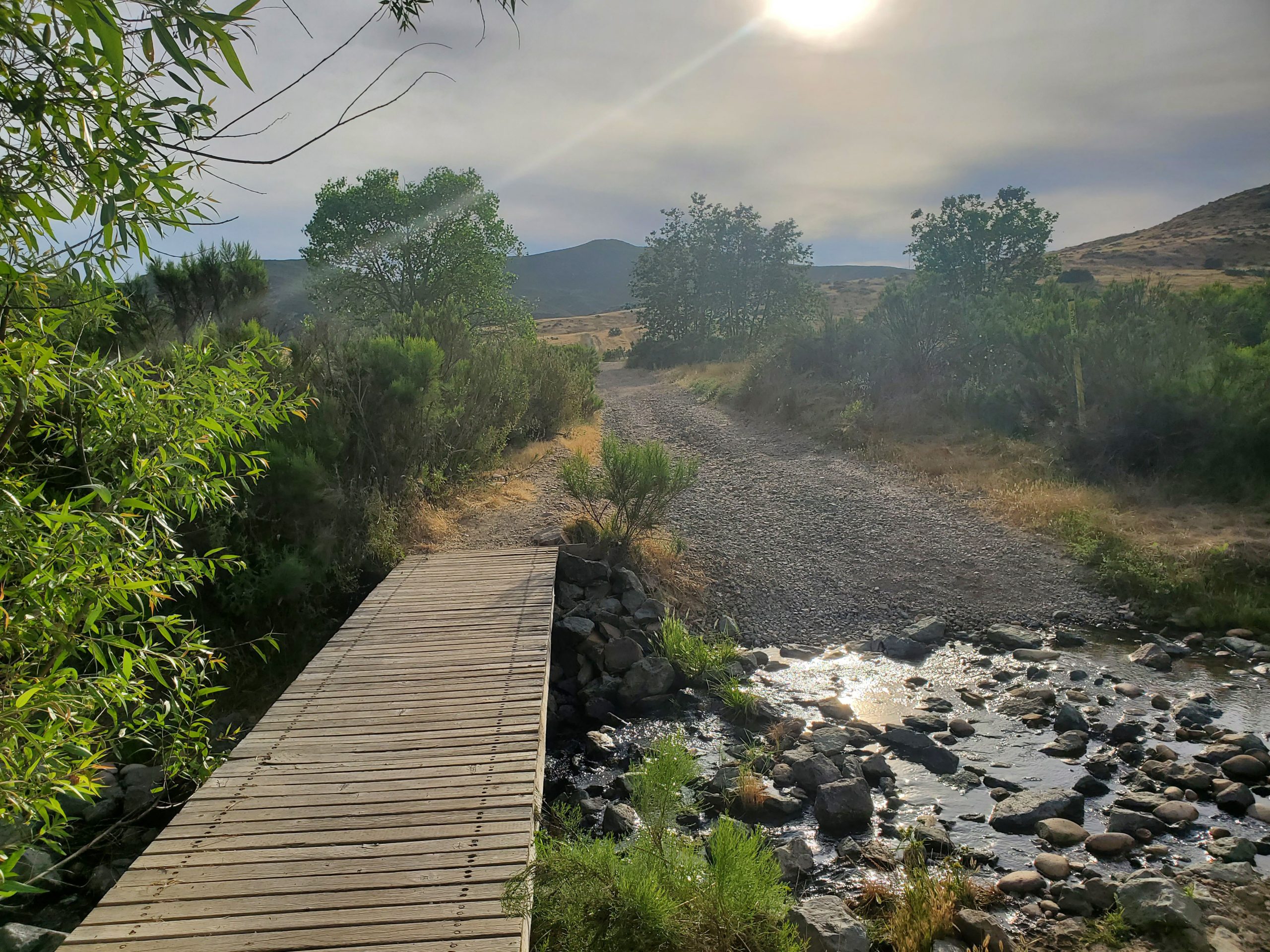
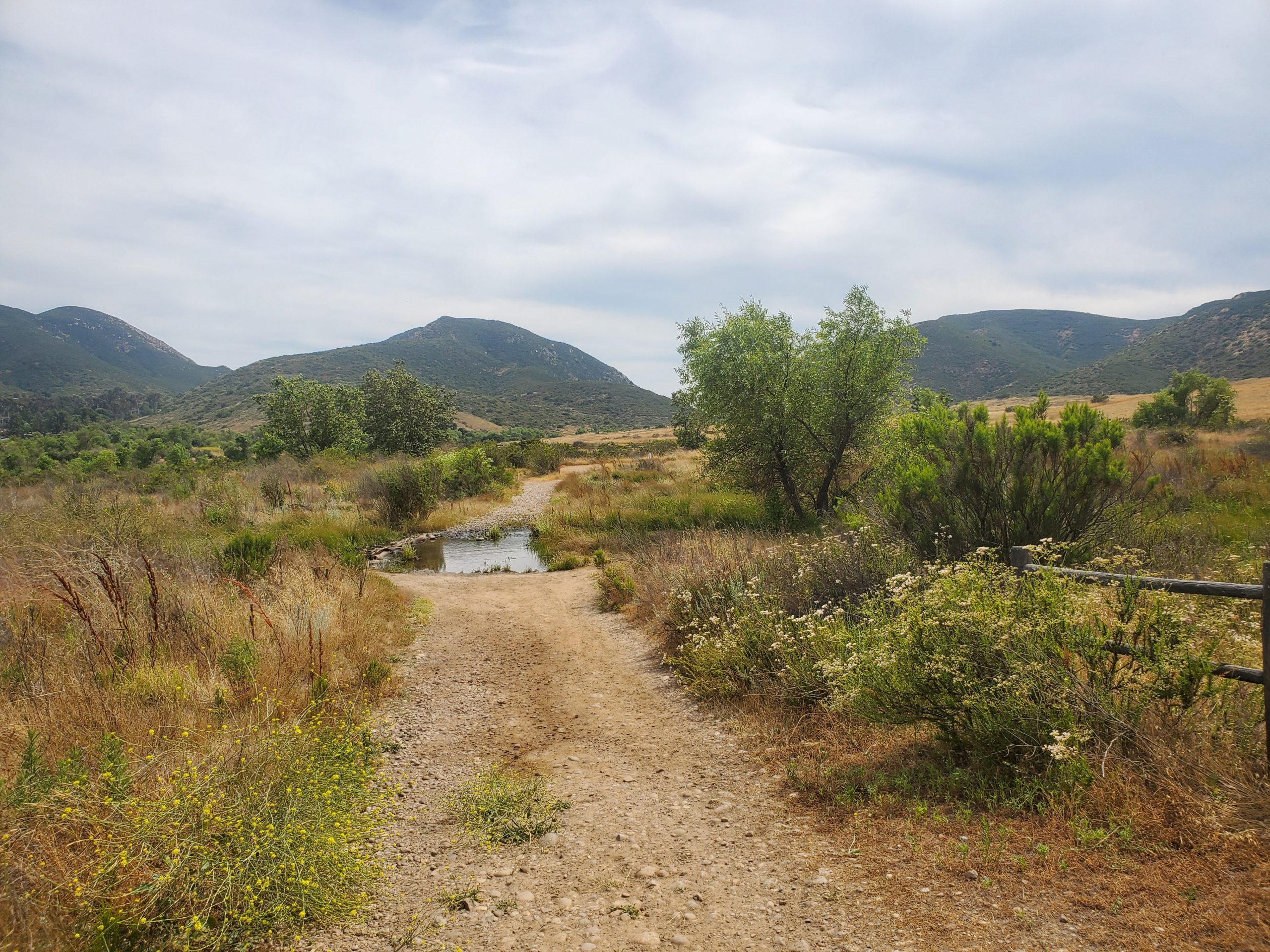
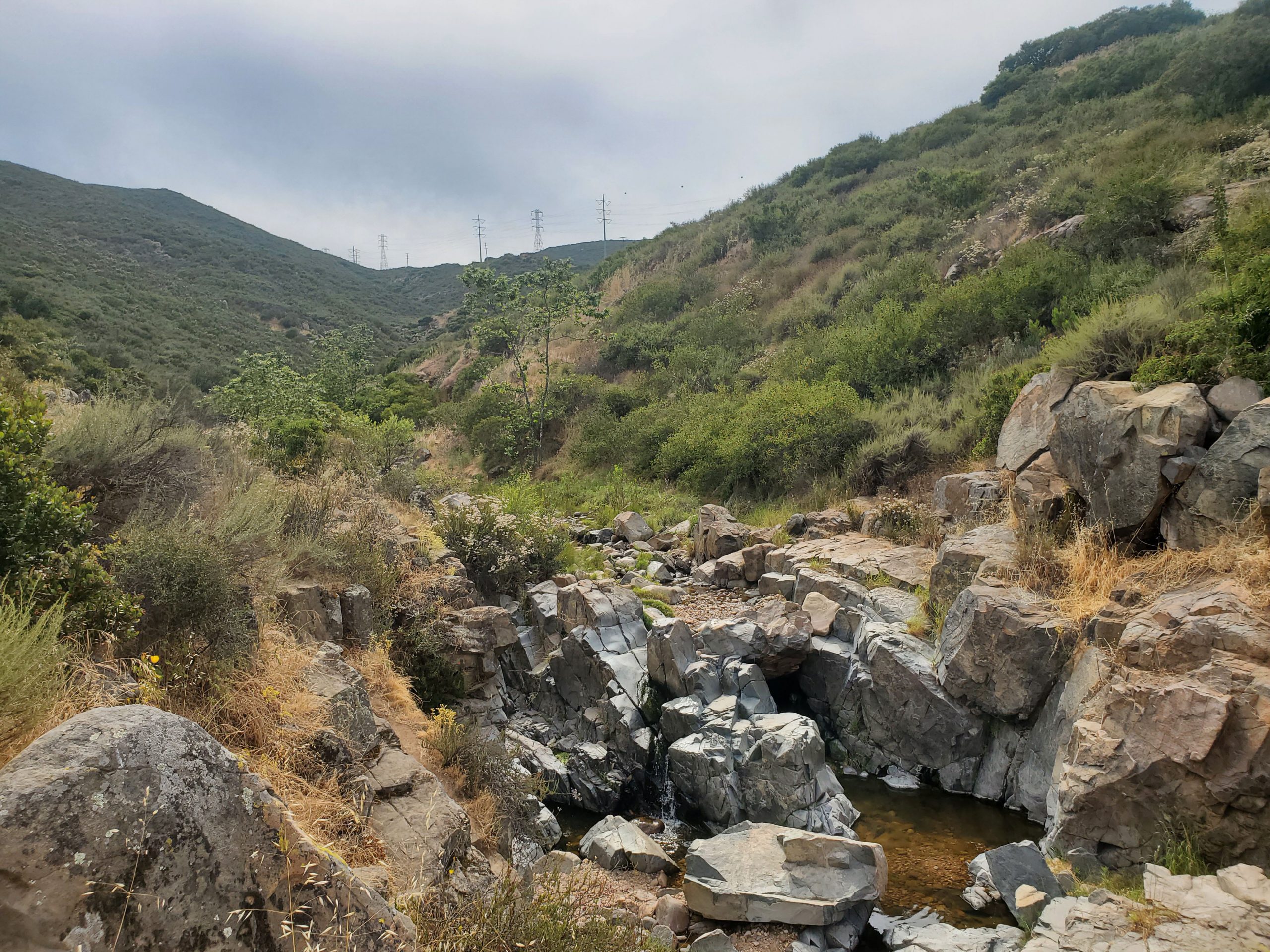
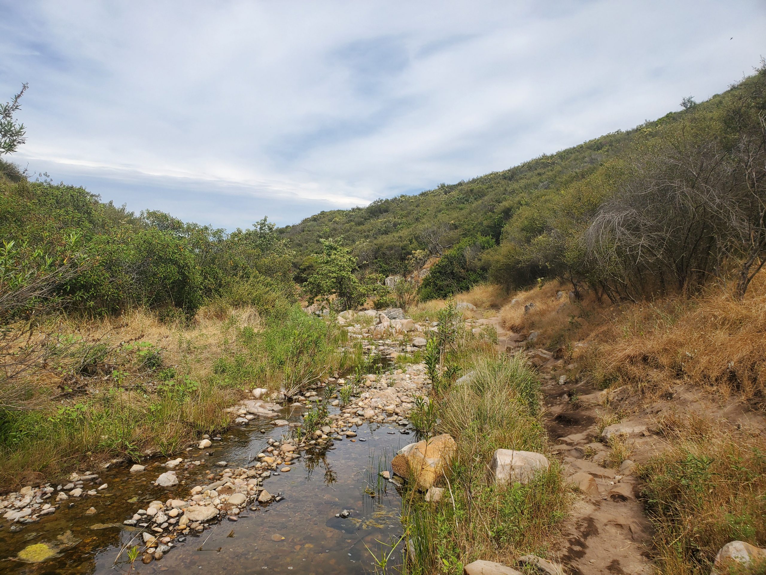
At this point the hike follows the Oak Canyon Trail for about half a mile. The trail runs along a stream with some minor rock scrambling. After a rain there will often be small waterfalls. Oak Canyon Trail is one of the best hikes in the park and you can see our full guide here.
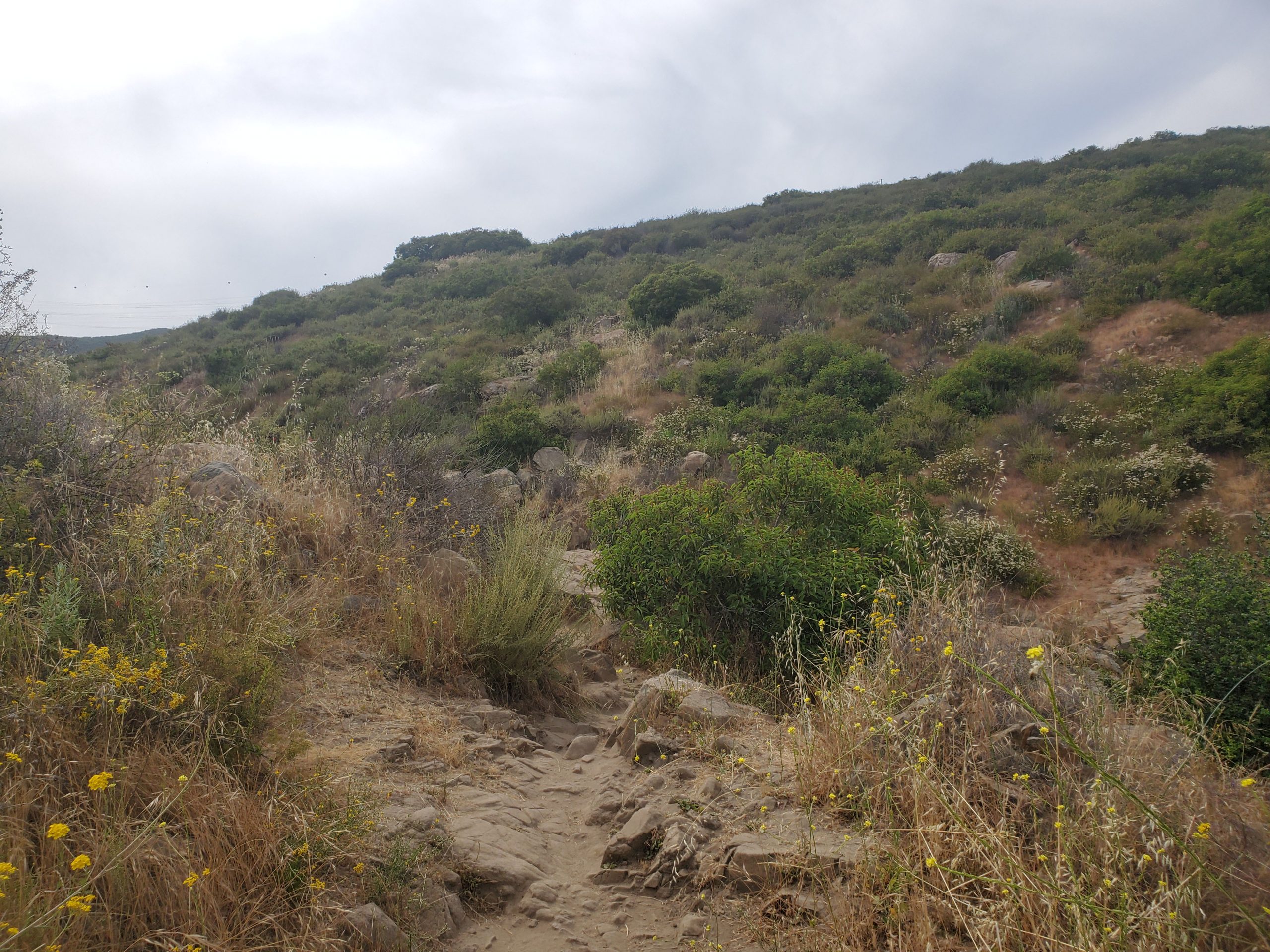
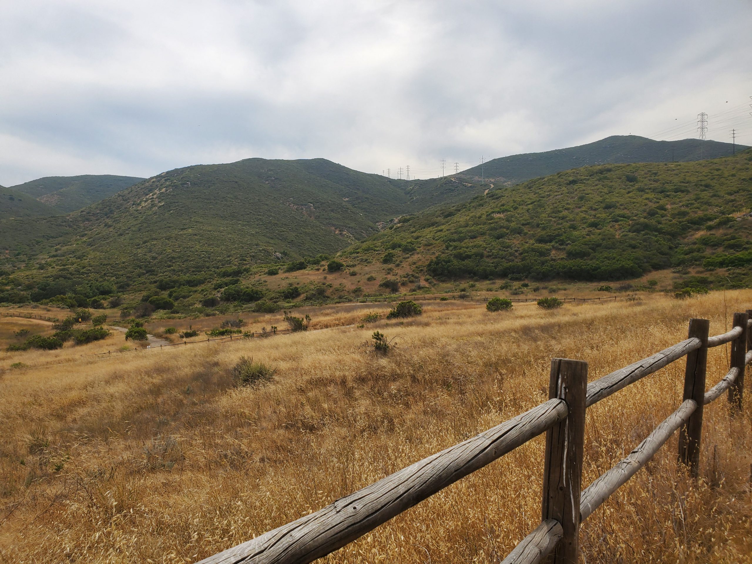
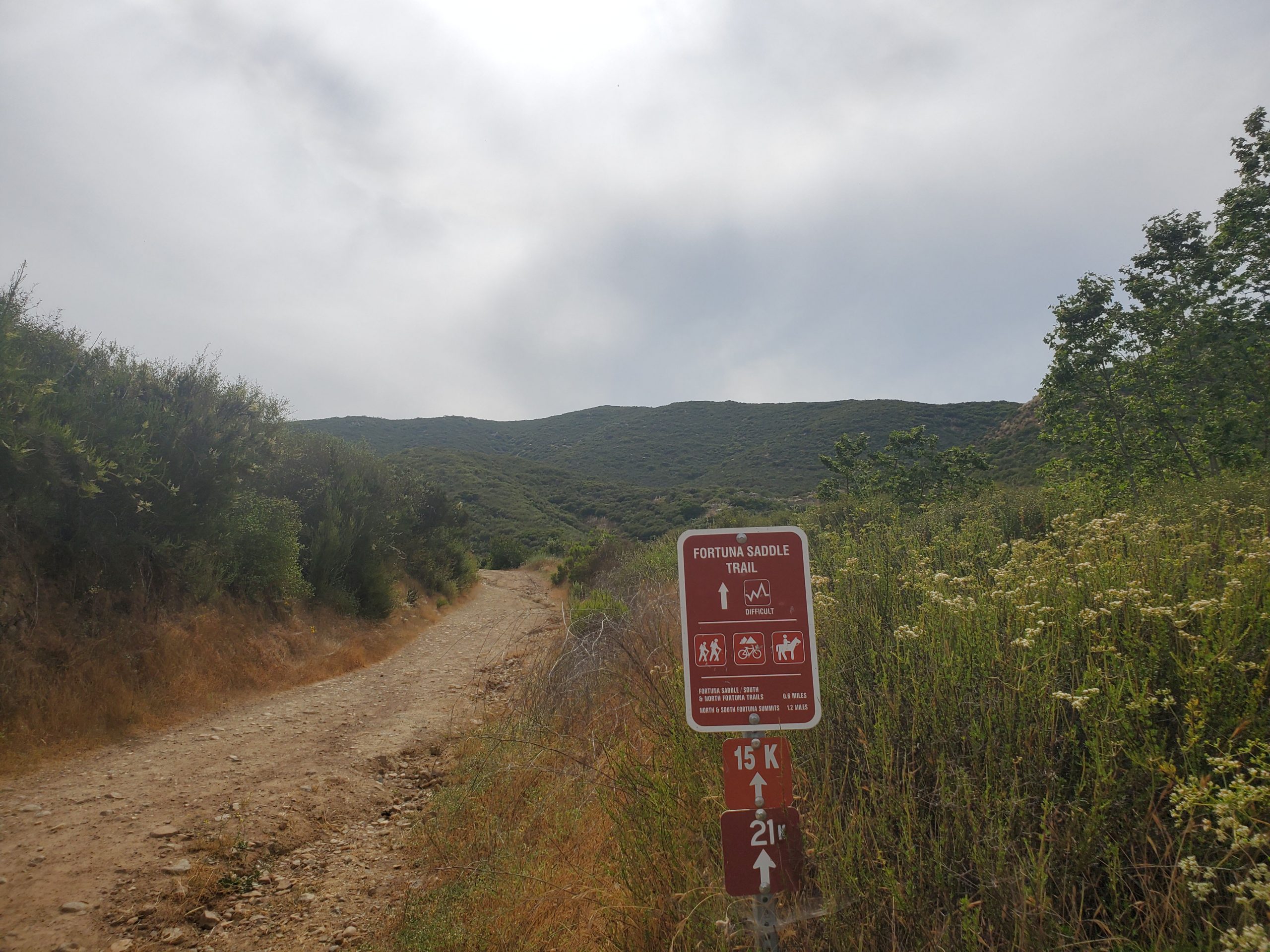
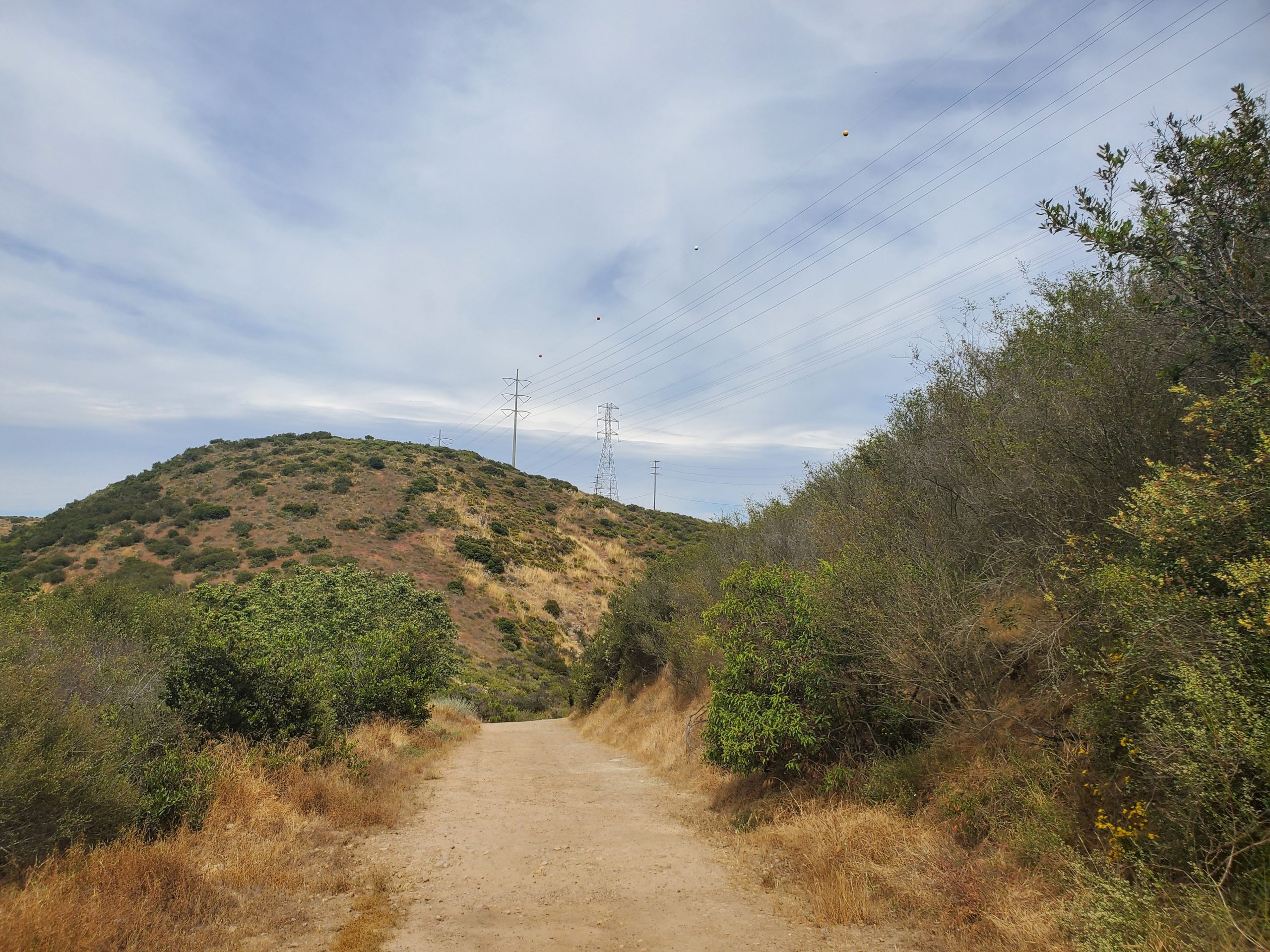
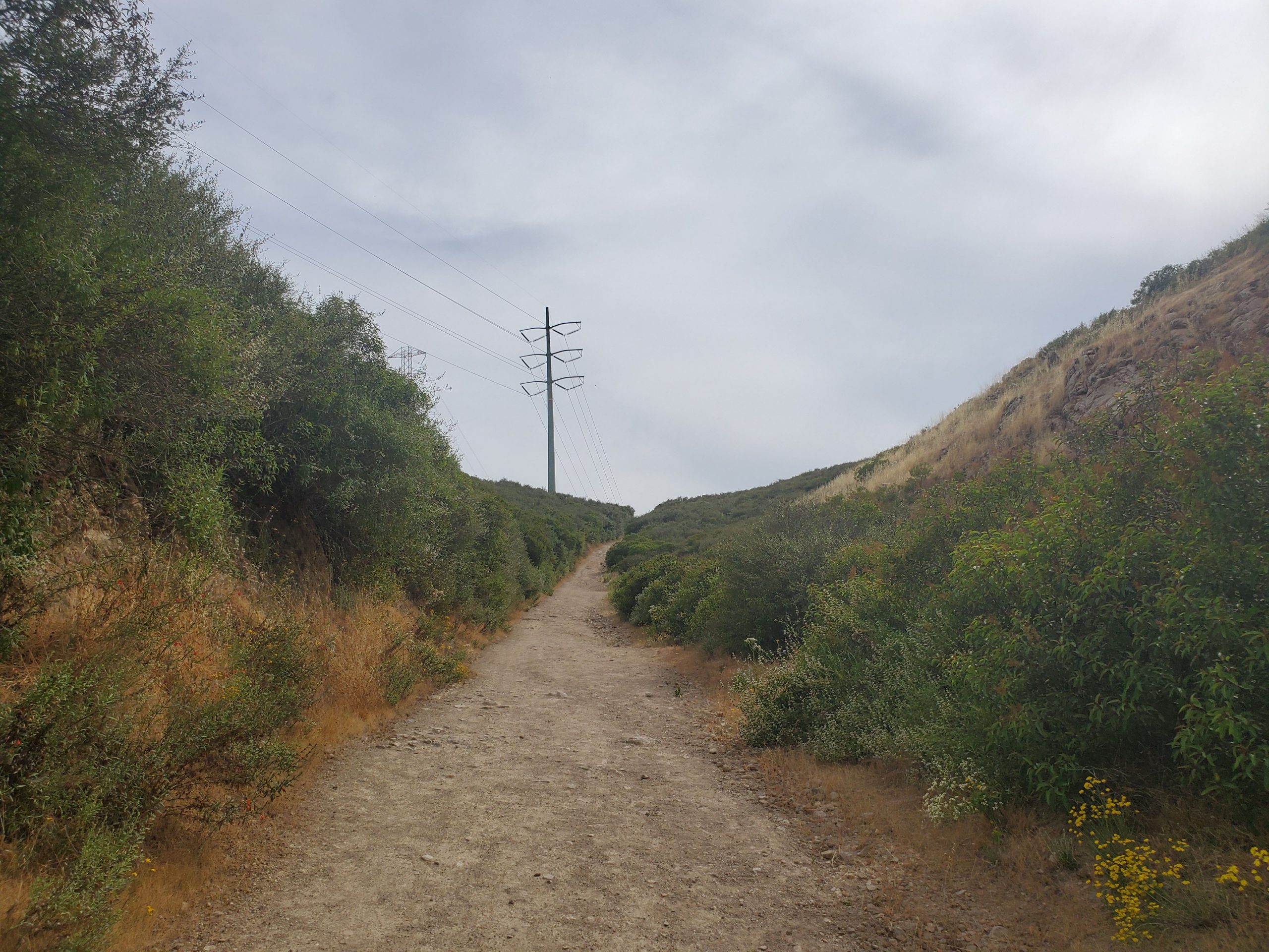
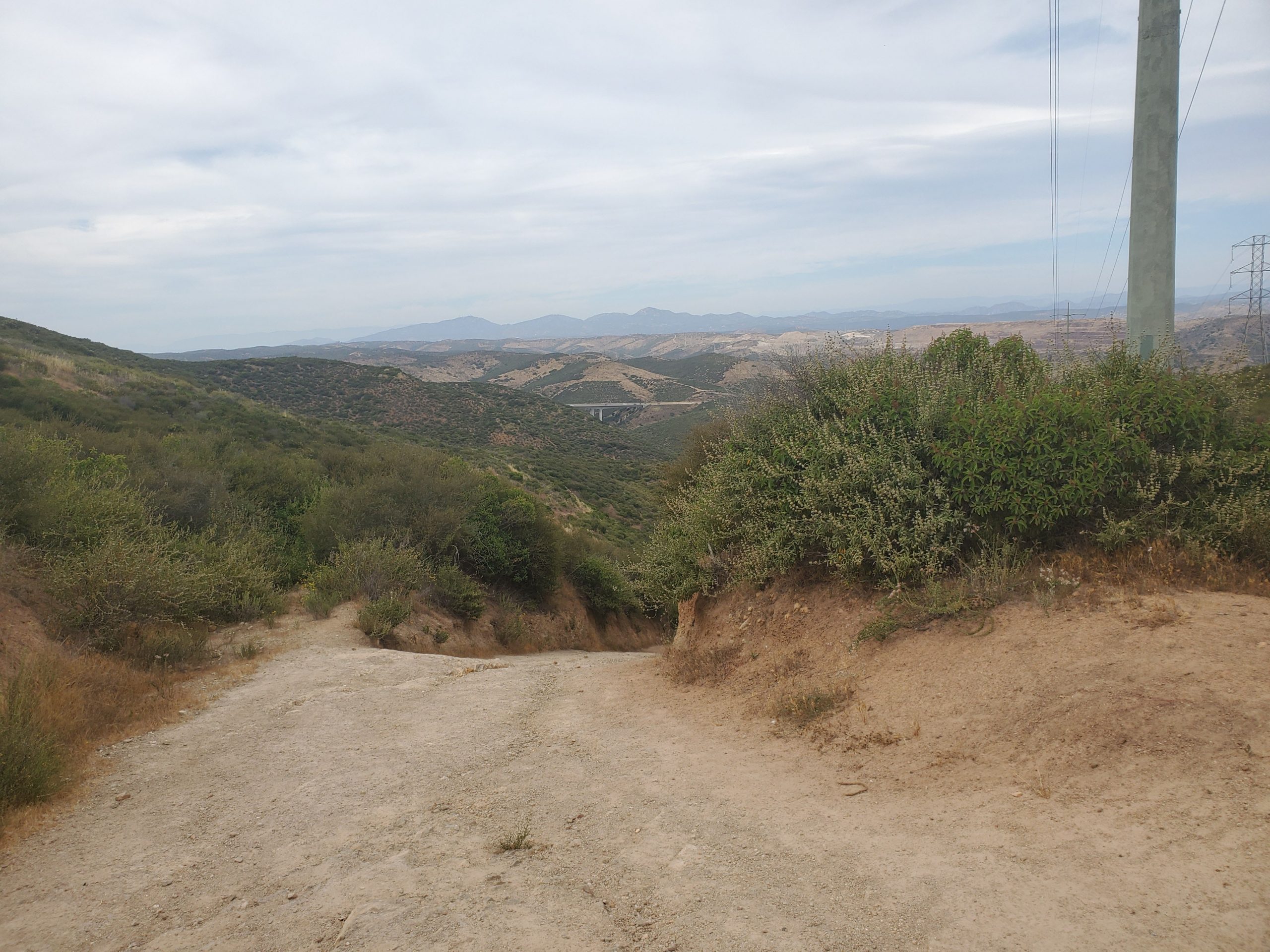
Oak Canyon Trail meets up with Fortuna Saddle Trail right under the power lines that run through Mission Trails. Oak Canyon continues to the right. For North Fortuna it is a steep hike up Fortuna Saddle Trail parallel to the power line.
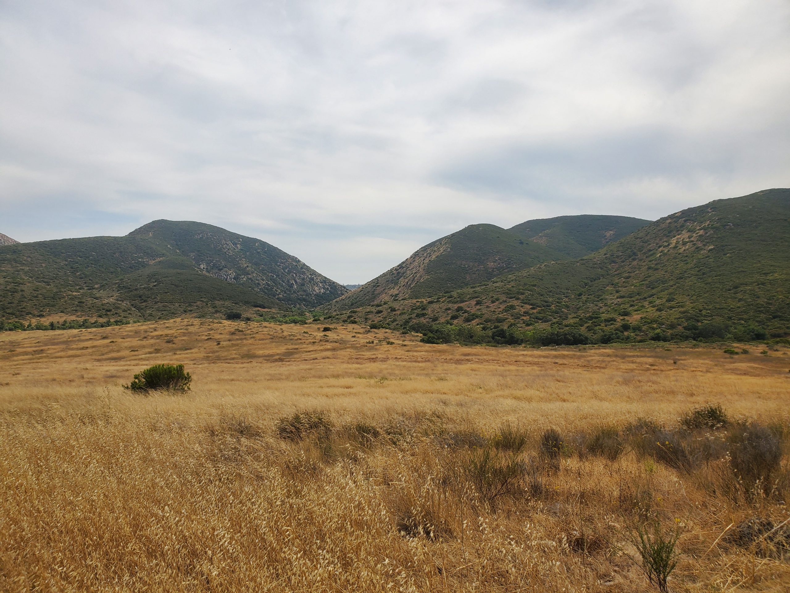
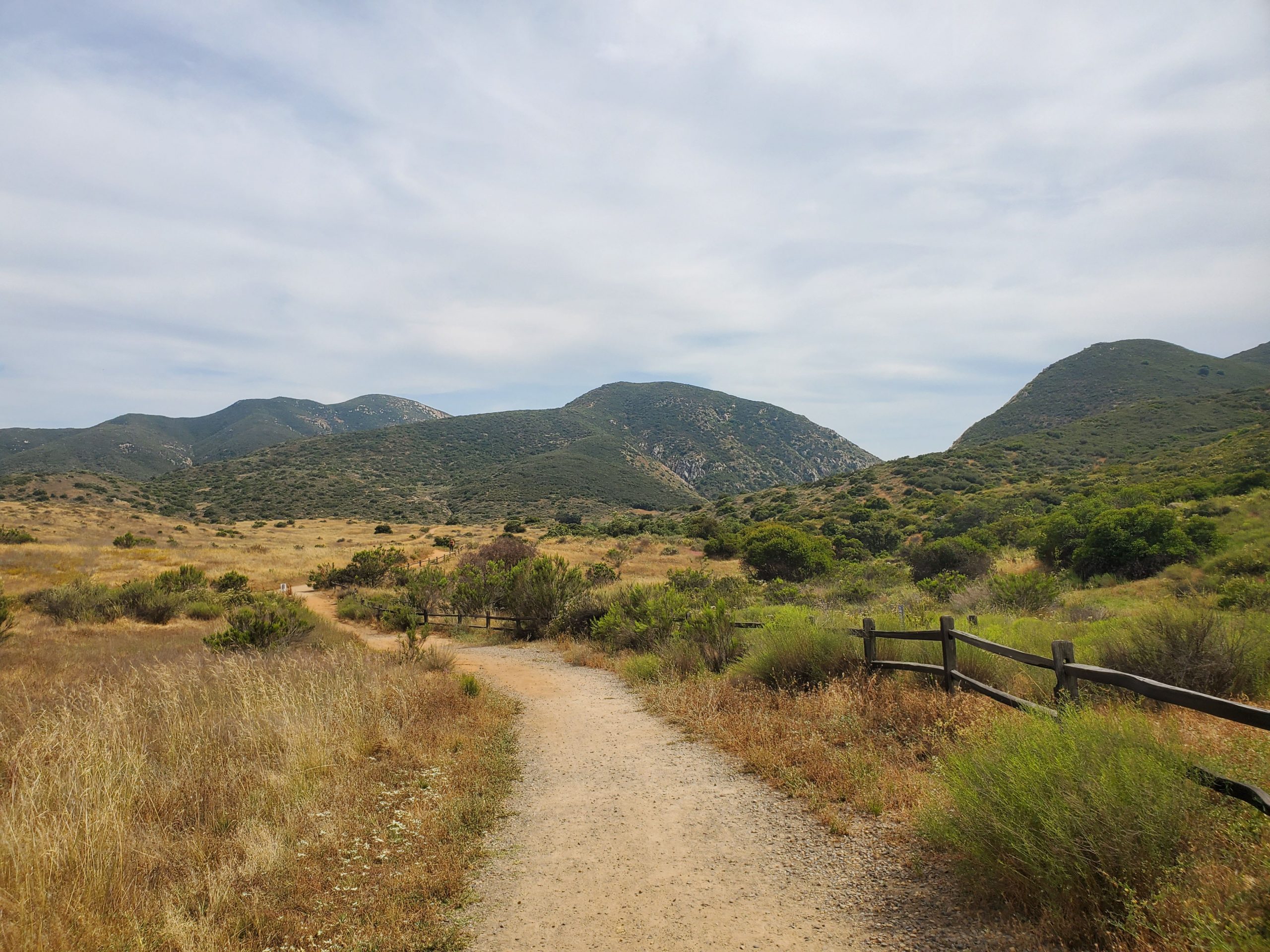
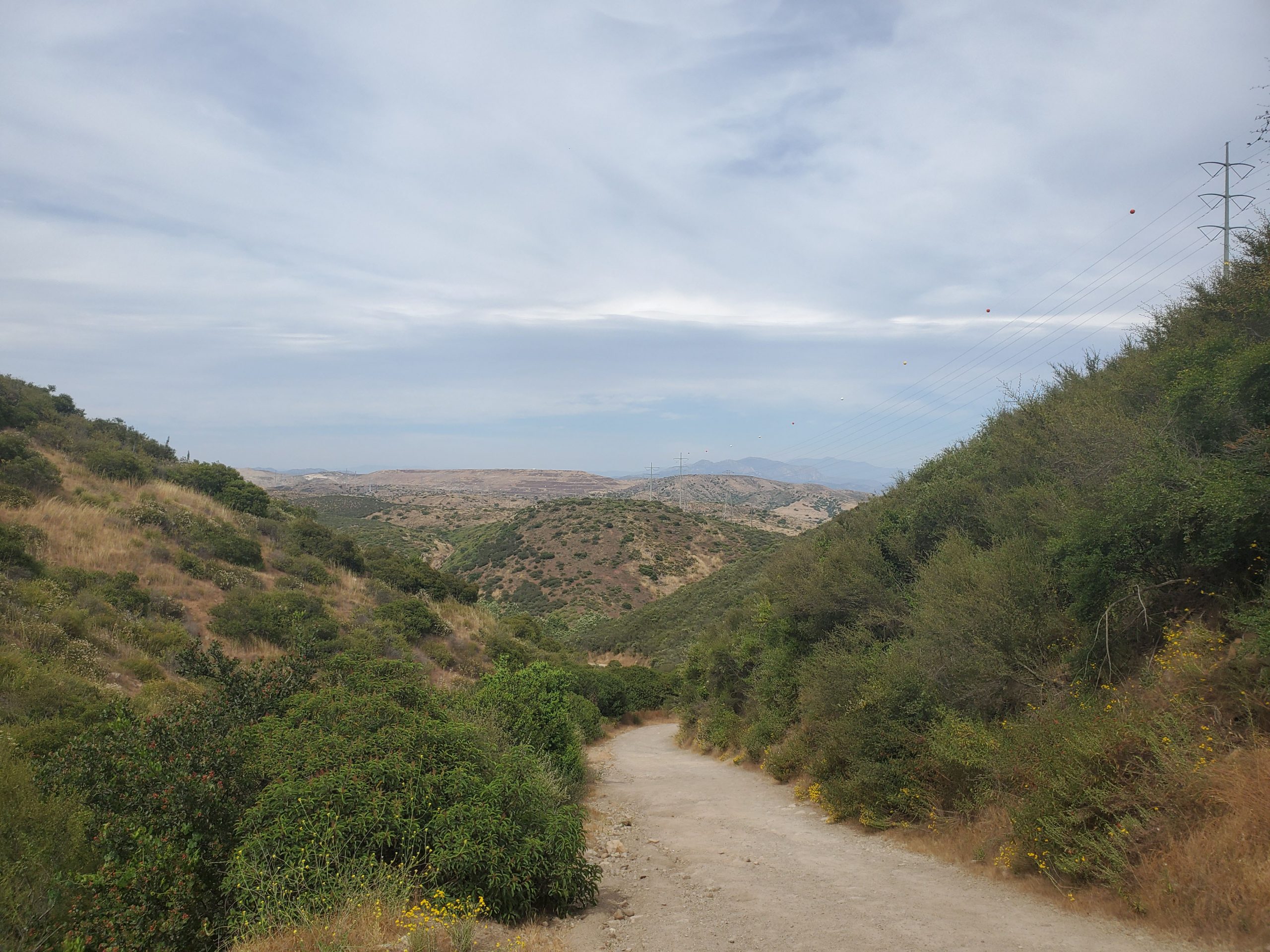
The 0.6 mile climb up Fortuna Saddle Trail is the steepest part of the hike. At Fortuna Saddle the trail levels off and there is a major intersection. From this point there are views of both the west and east ends of Mission Trails.
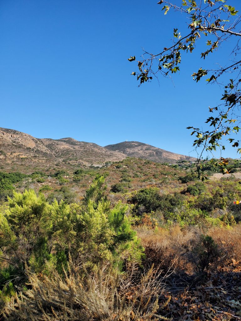
To the left the trail heads up South Fortuna Mountain. Straight ahead, the trail goes downhill towards the West Fortuna Staging area. North Fortuna trail is clearly marked heading up hill to the right.
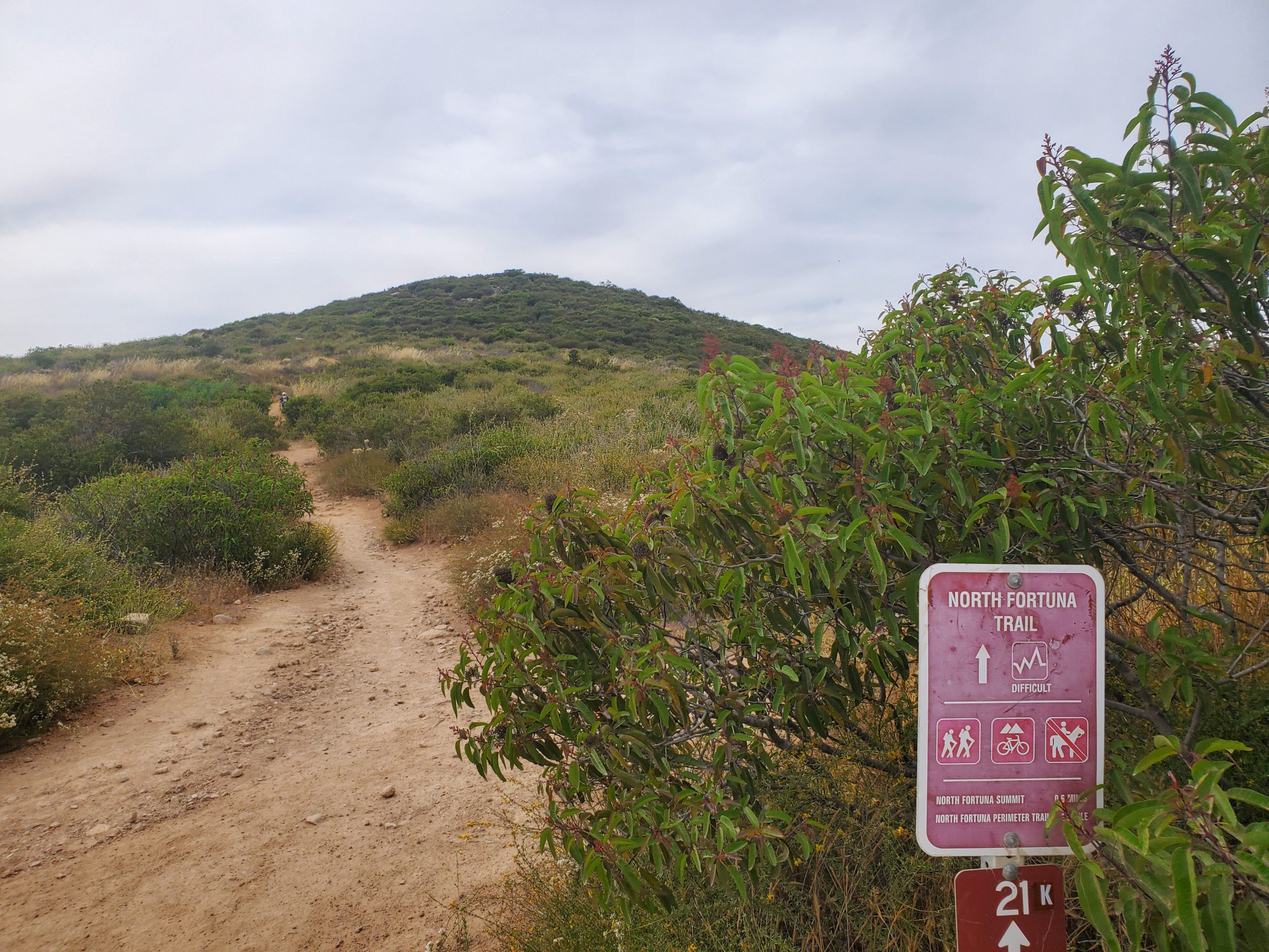
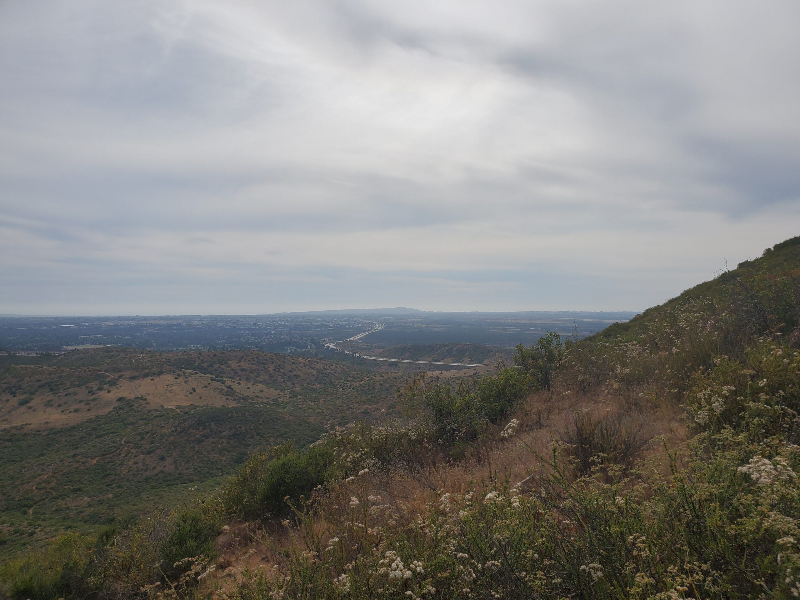
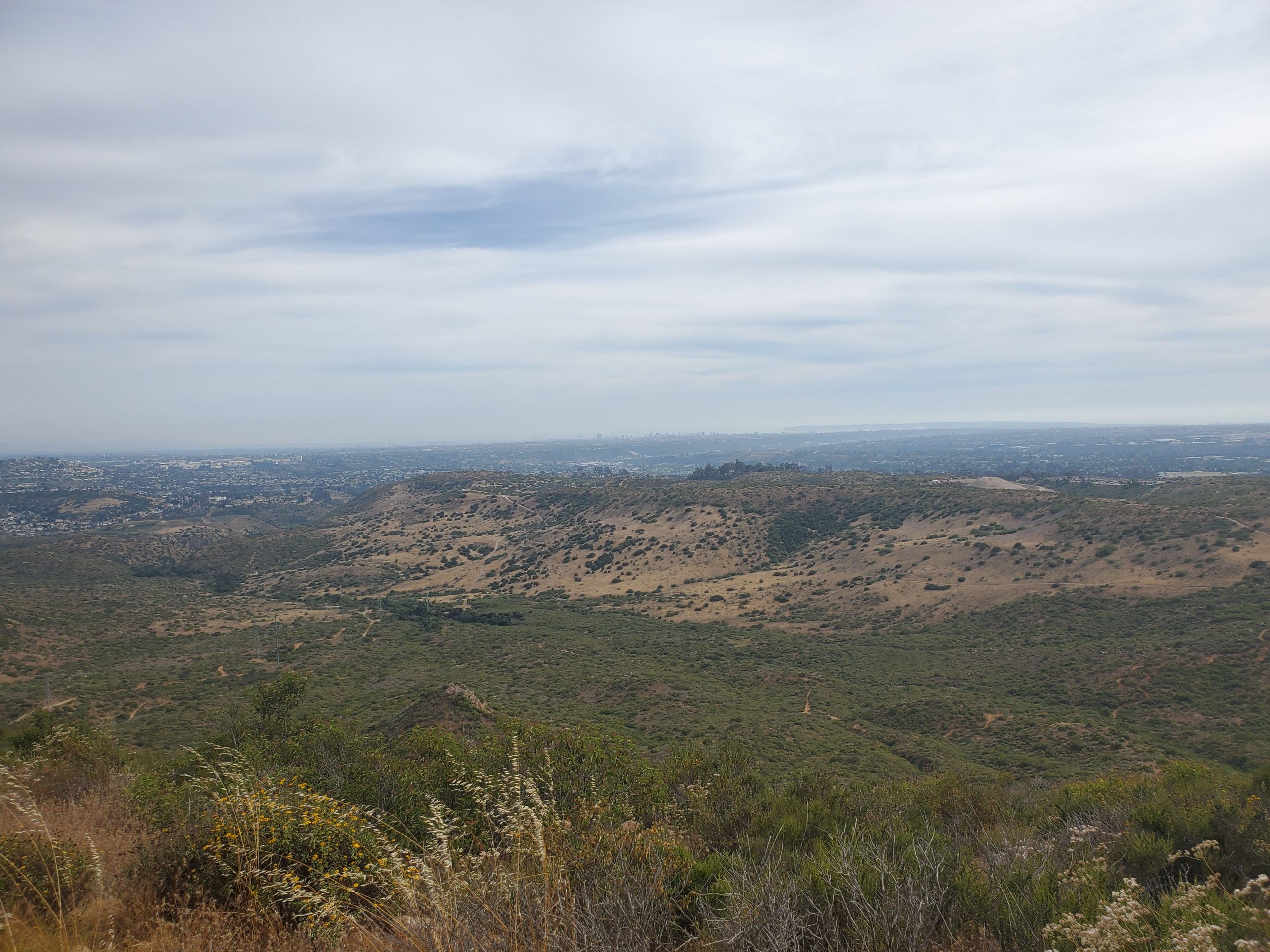
The final climb up North Fortuna is about half-a-mile. Along the way there are some great 360-degree views.
At the top there is a plaque. If you want to officially complete the 5-Peak challenge take a selfie with the sign.
From this point you simply go back the way you came. For a great challenge, one can continue down North Fortuna Trail to create a loop along the north side of Mission Trails. This portion of the hike is here.
For more hikes in Mission Trails Regional Park be sure and check out our full guide.

3 Comments
Comments are closed.