San Diego Hikes: Mission Trails Regional Park Oak Canyon Trail
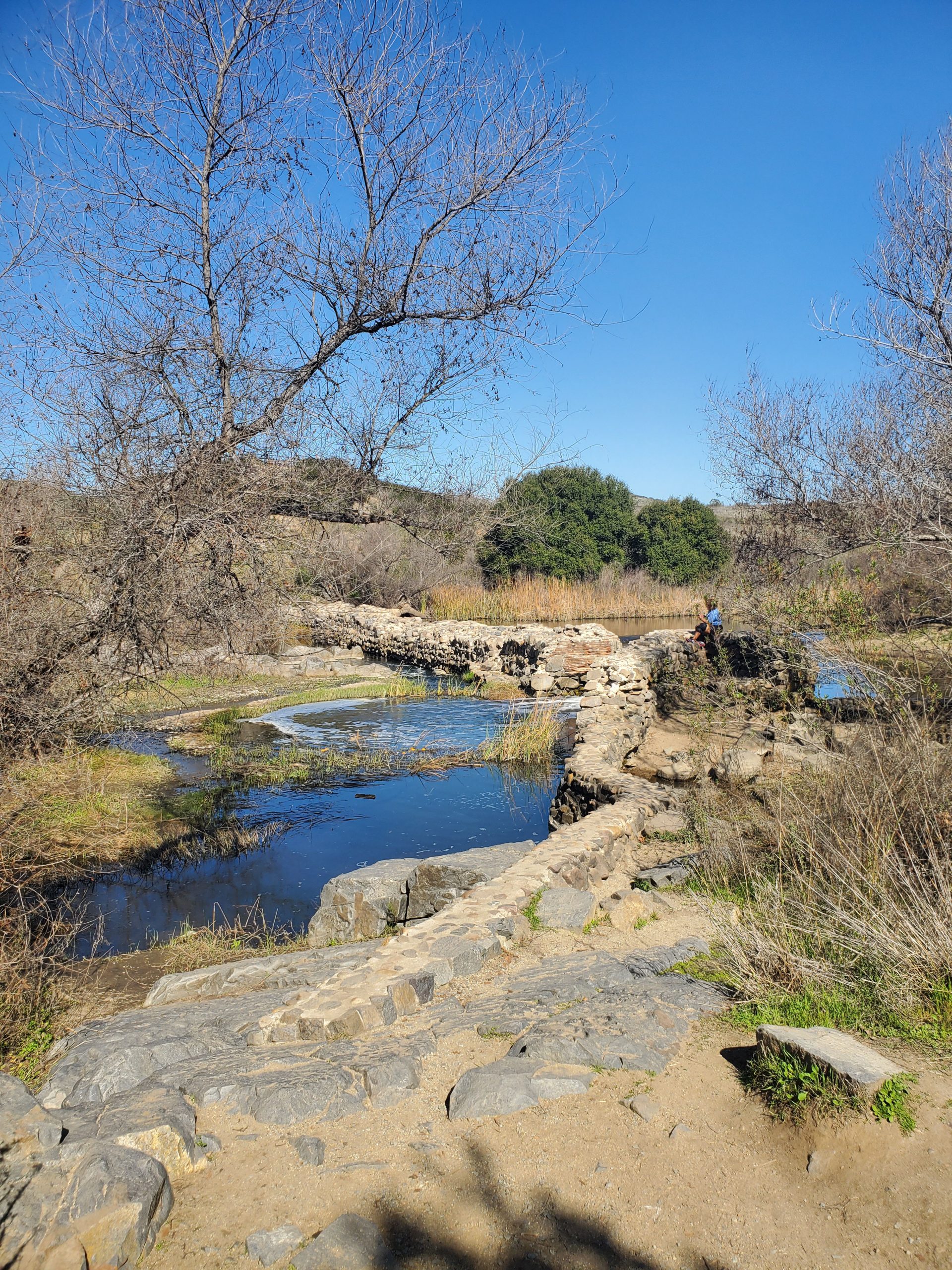
Oak Canyon Trail is one of the best hikes at San Diego’s Mission Trails Regional Park. It goes along a stream above the Old Mission Dam and during the winter and spring there will often be a waterfall.
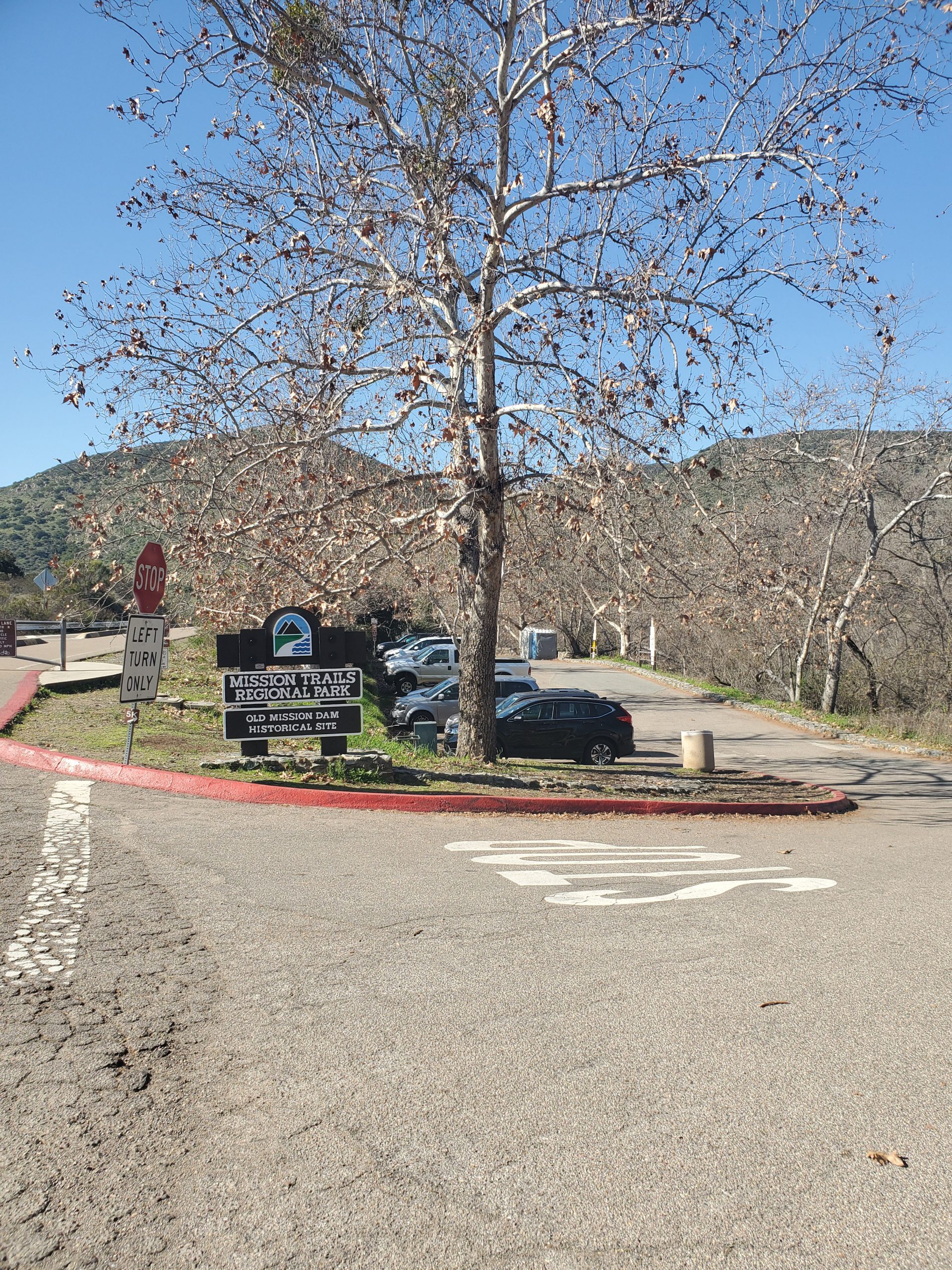
- Starting Point: Old Mission Dam, Mission Trails Regional Park
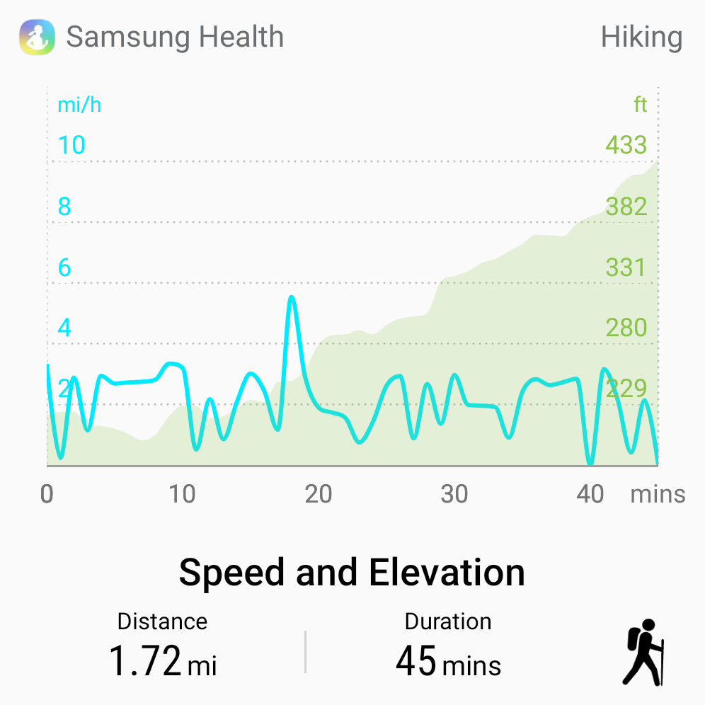
- Length: 3.4 miles round trip
- Elevation: 200 foot gain and loss
- Type: out-and-back with loop option
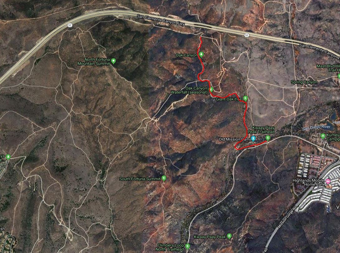
Mission Trails is a huge park with four major access points. Oak Canyon Trail is located in the northeast section by the Old Mission Dam and the East Fortuna Staging Area.
The location is right off the 52 freeway by Mission Gorge Road. If you are coming from the visitor center it is at the end of the one-way Father Junipero Serra Trail. There is free parking at Old Mission Dam and also along Father Junipero Serra Trail.
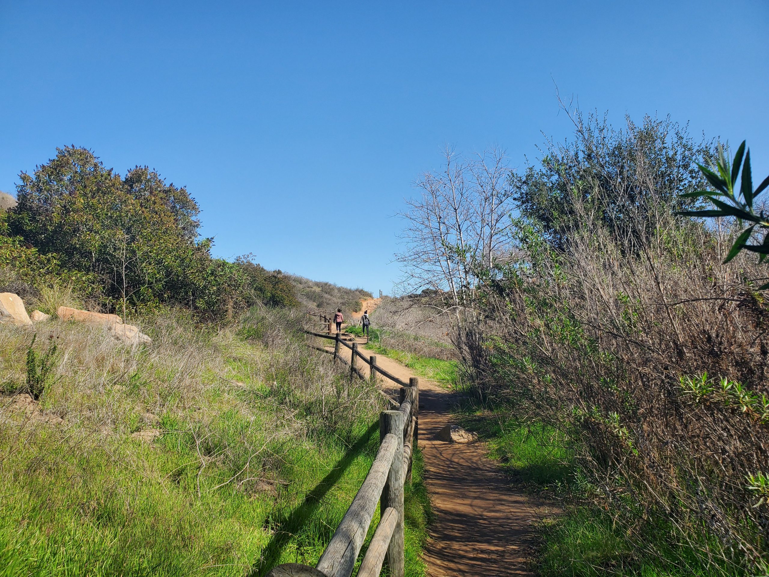
Oak Canyon Trail is perfect because you can make it a short, fairly flat hike, or combine it with longer hikes on the many trails in the park. The trail itself is 1.7 miles long. Our suggestion is to combine it with a loop on the Perimeter and Grasslands Trail. This results in a total 3.6 mile hike that lets you take in more sites.
If you want a shorter trail you can hike 1.2 miles to the intersection with Fortuna Saddle Trail. This will give you a shorter hike with less uphill. However, the overall uphill section of the trail is not bad. However, there is some minor rock scrambling.
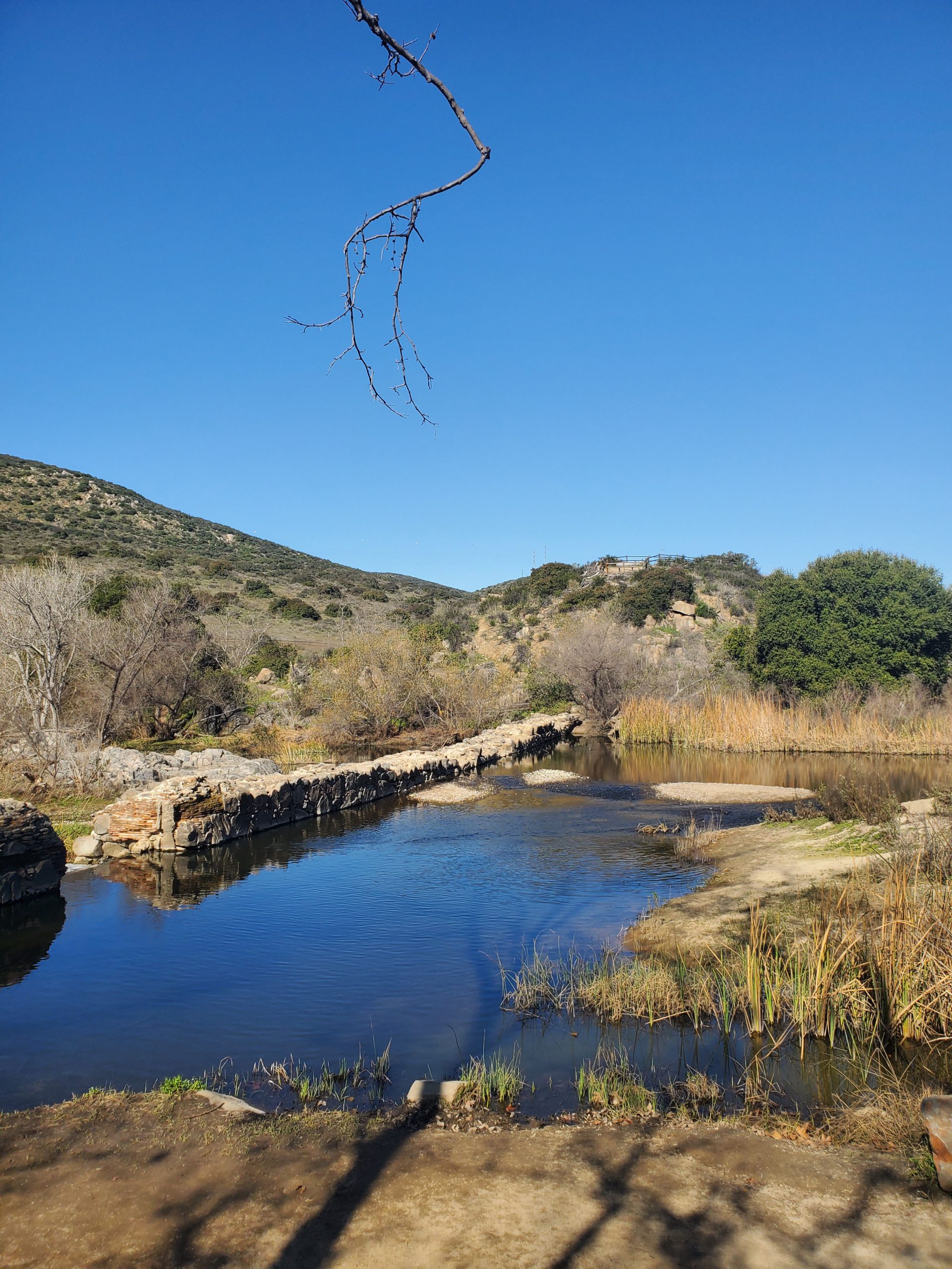
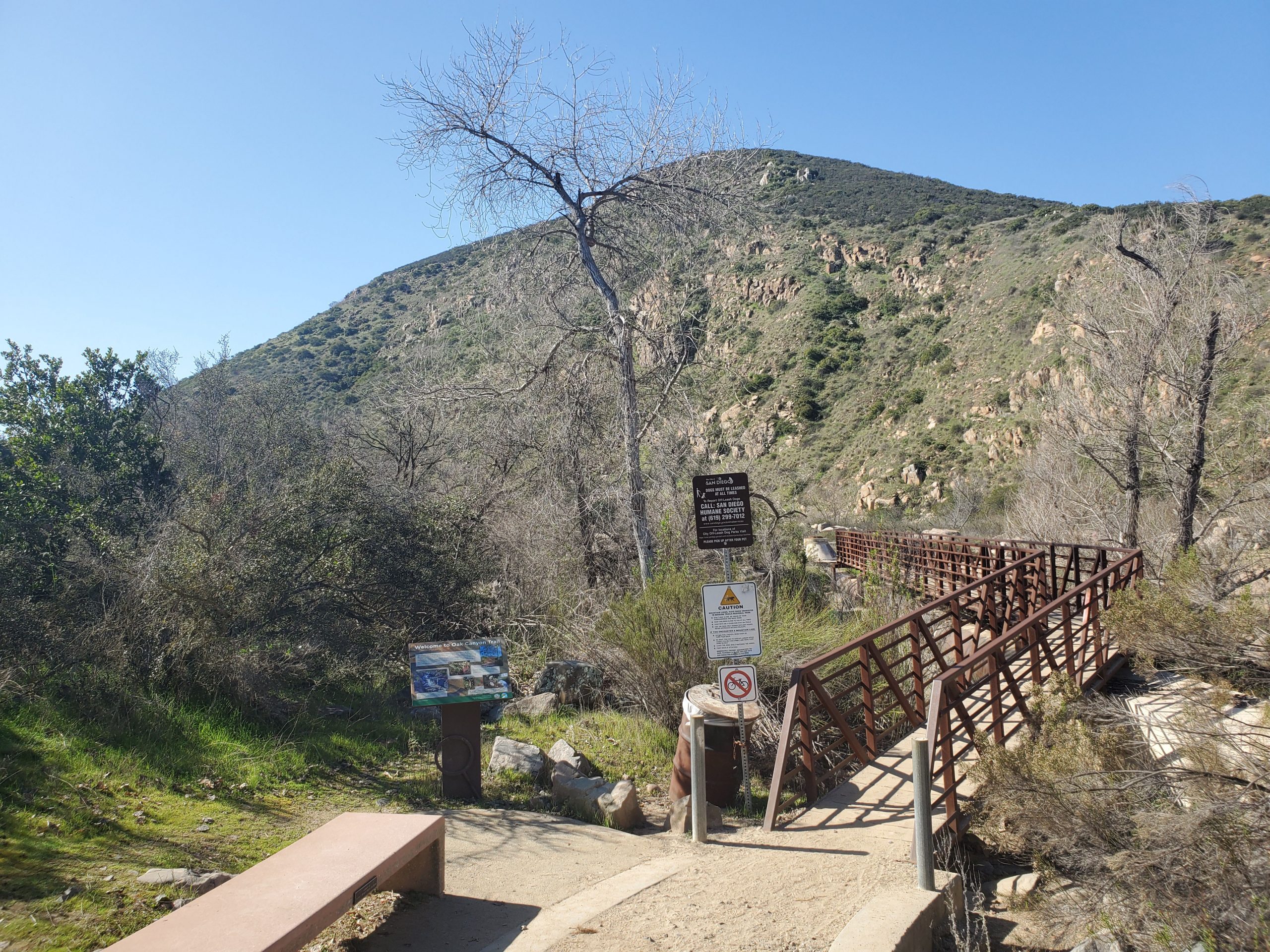
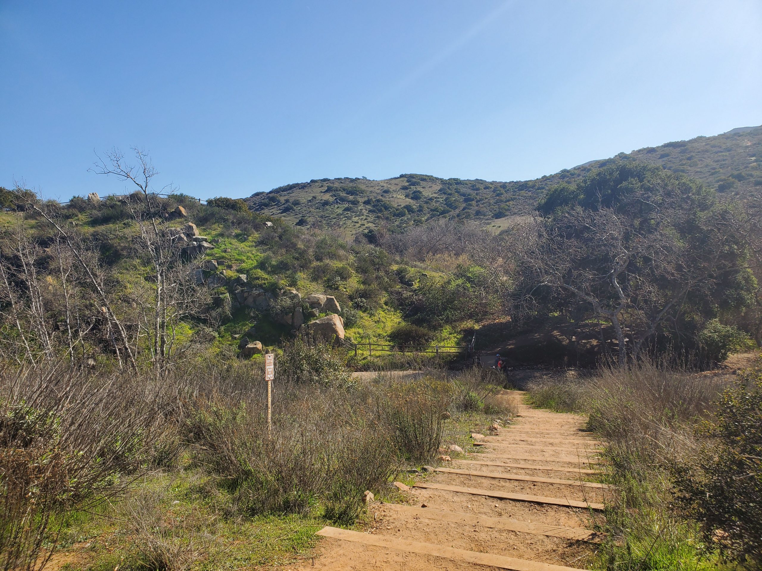
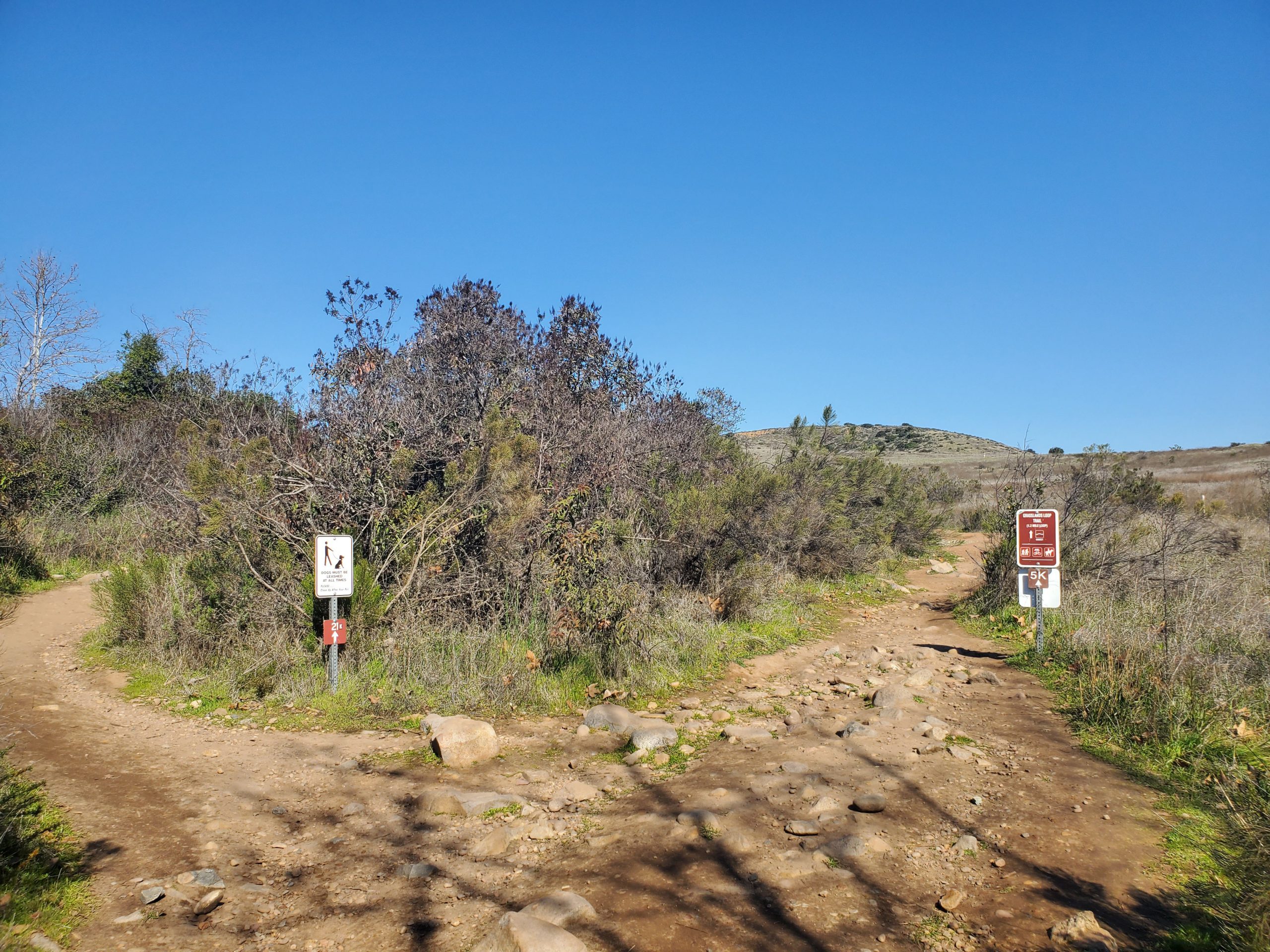
The trail starts by the Old Mission Dam. Signs are clearly marked from the dam as the trail parallels the San Diego River west for a short distance.
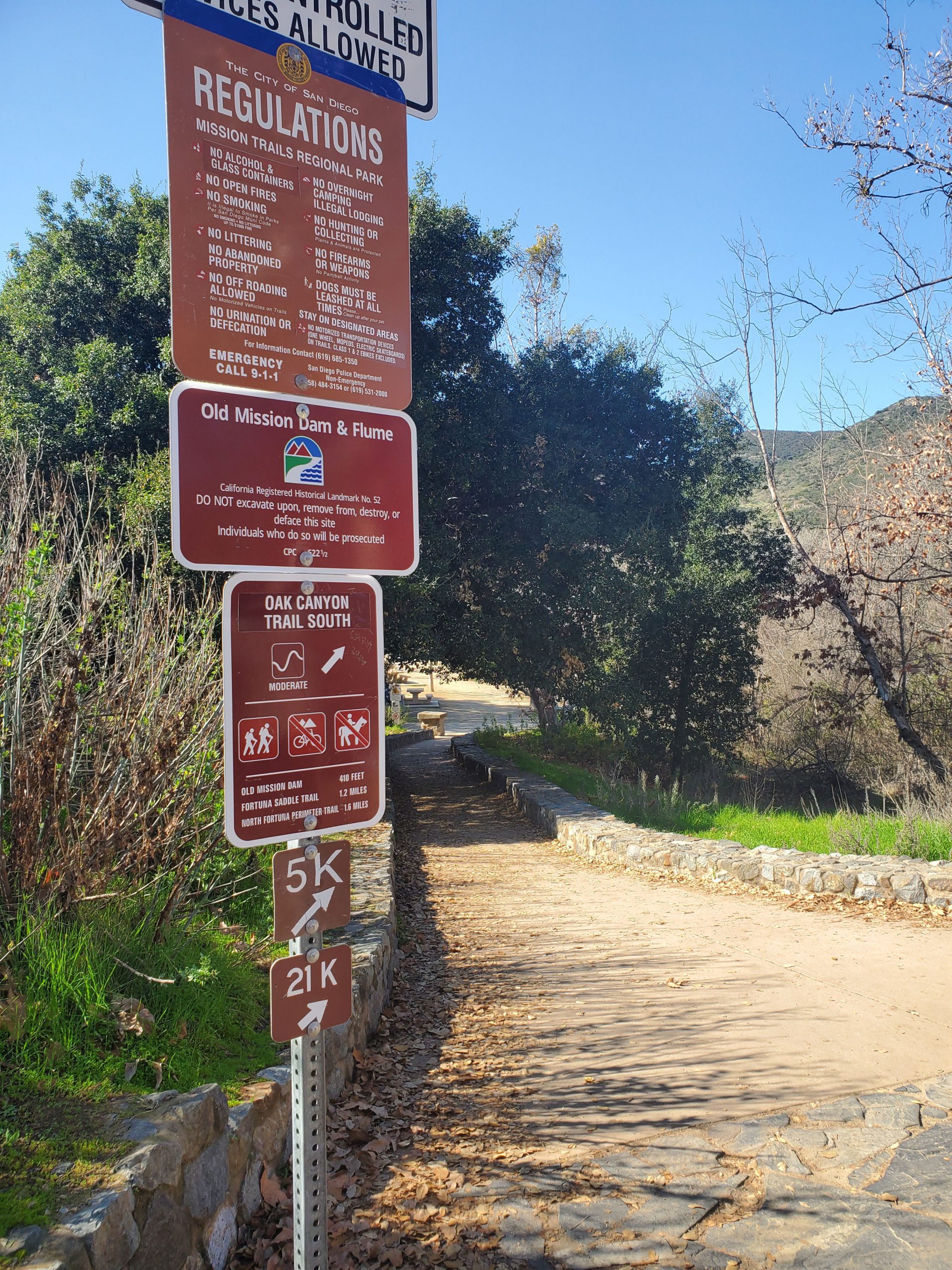
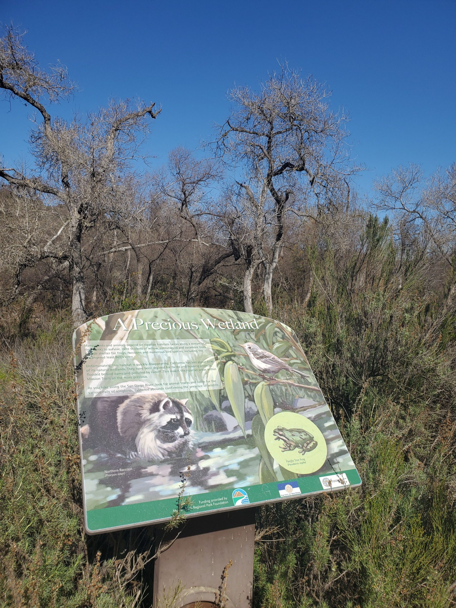
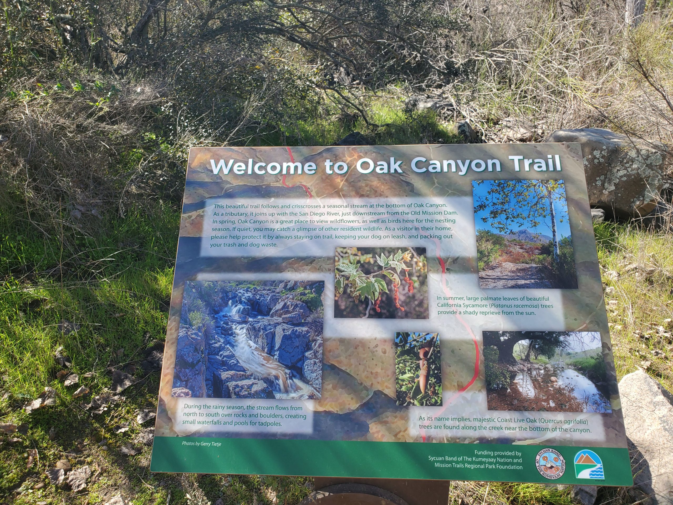
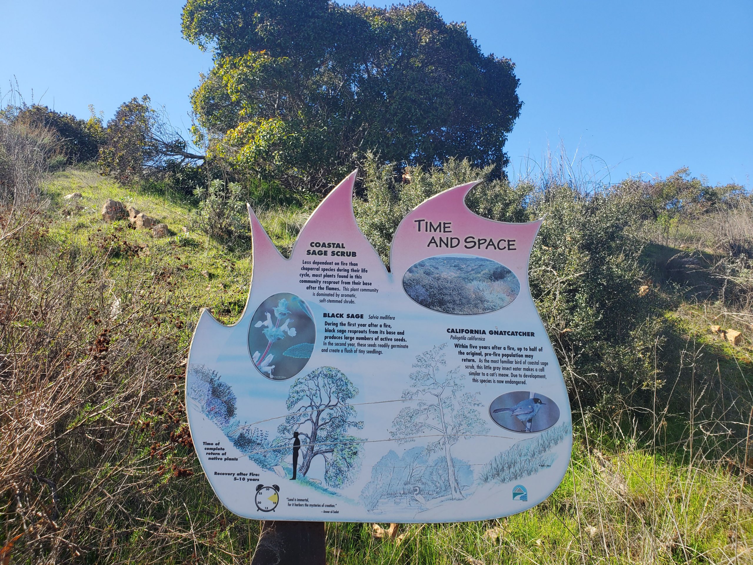
Along the first part of the hike they are several signs pointing out bits of information about the plants, animals and history of the area.
The official start of the trail is a short distance down from the dam at a bridge crossing the river. As you cross the bridge you turn right and follow the trail back towards the dam.
Near the north side of the dam you will turn left. Ahead are stairs that go up to the north overlook of the dam. Our suggested loop trail back goes to this overlook.
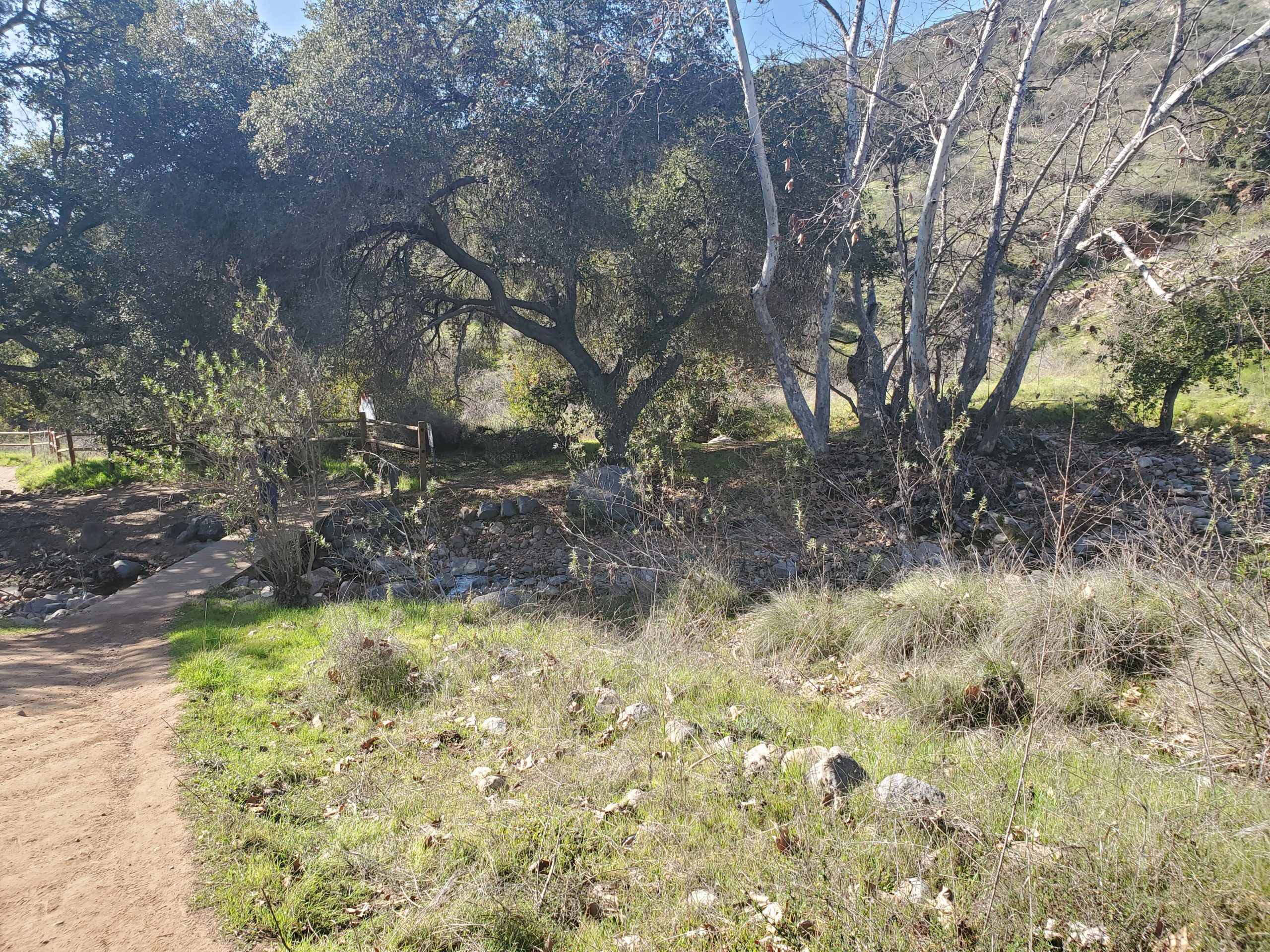
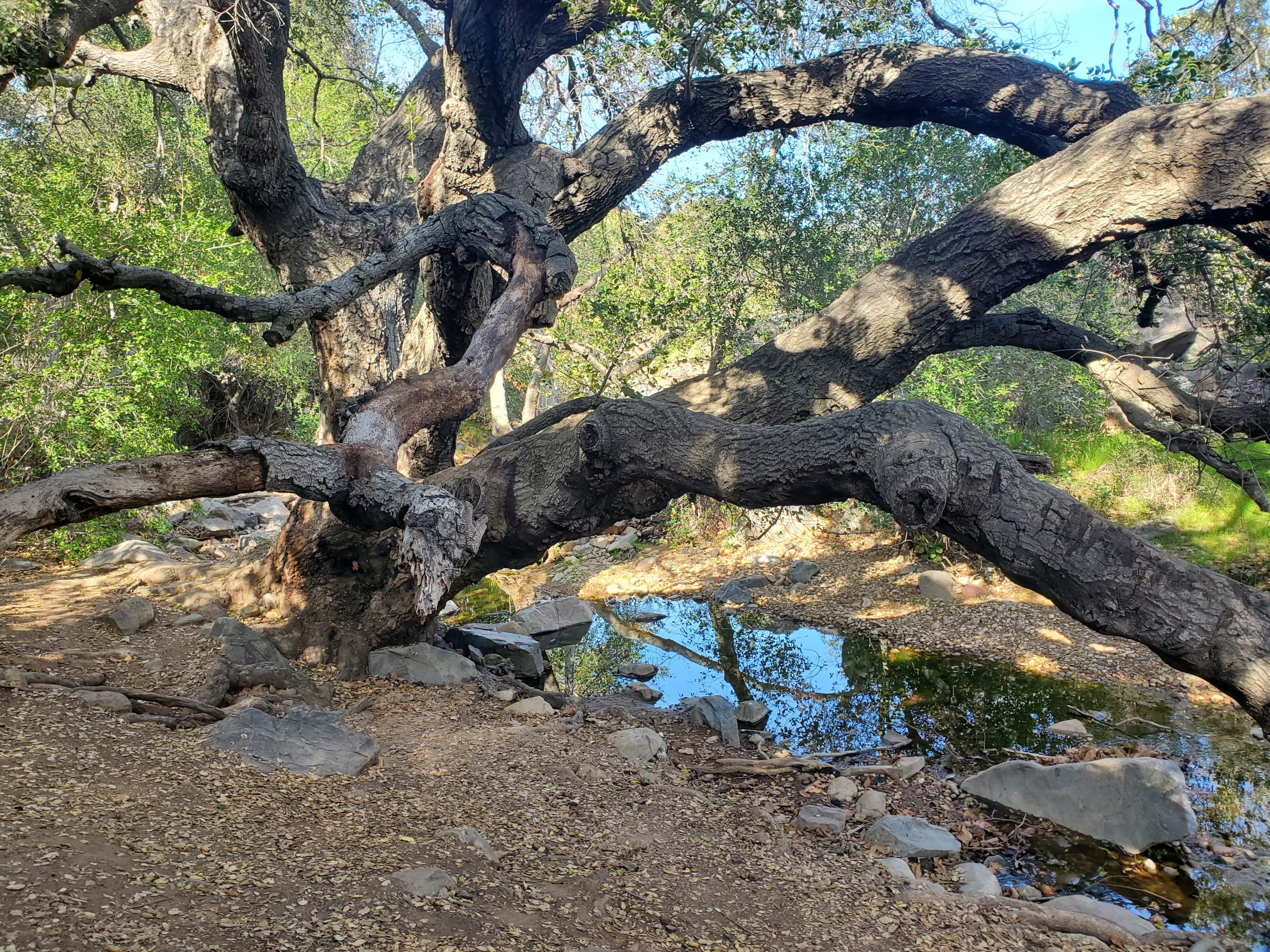
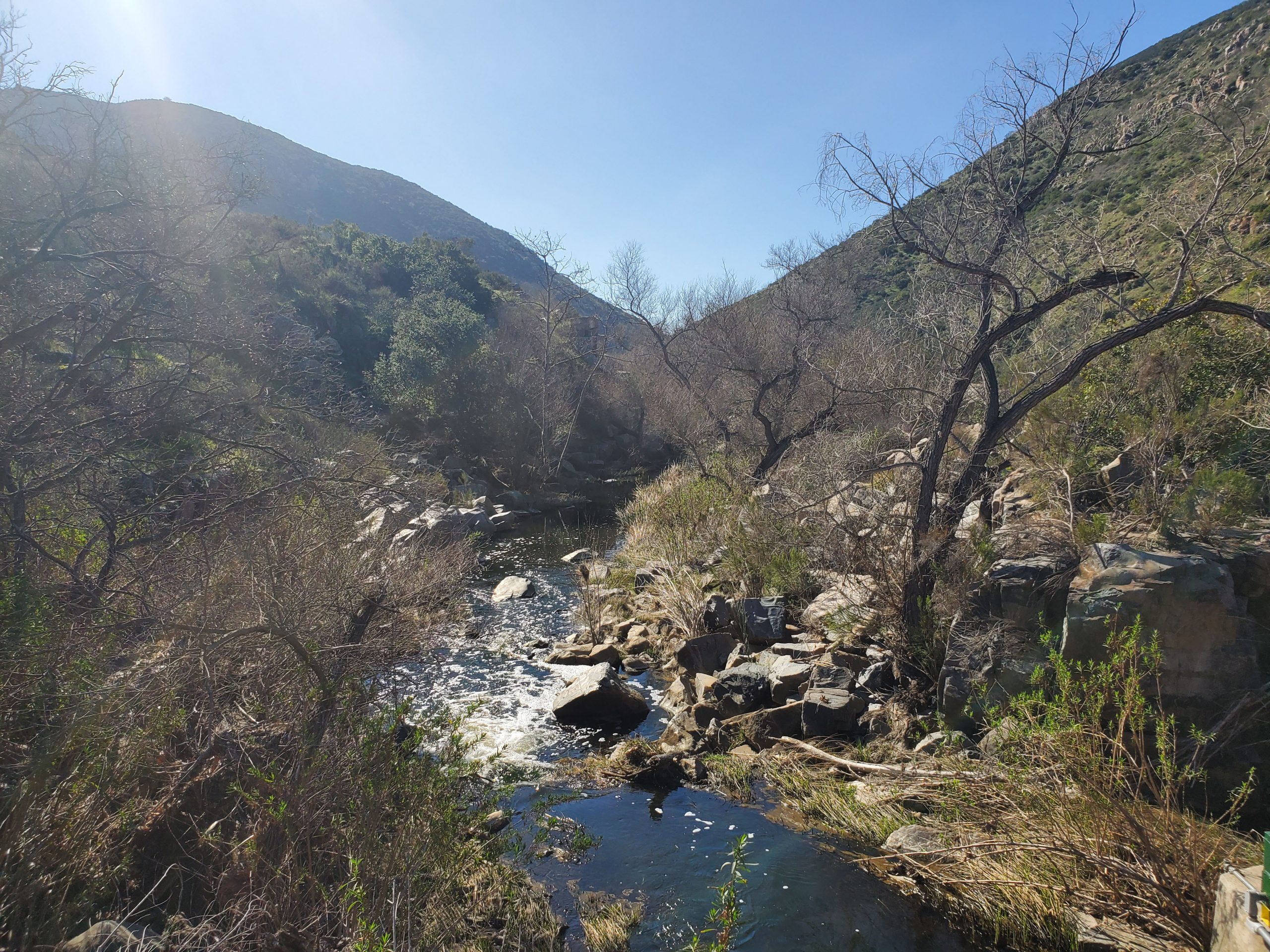
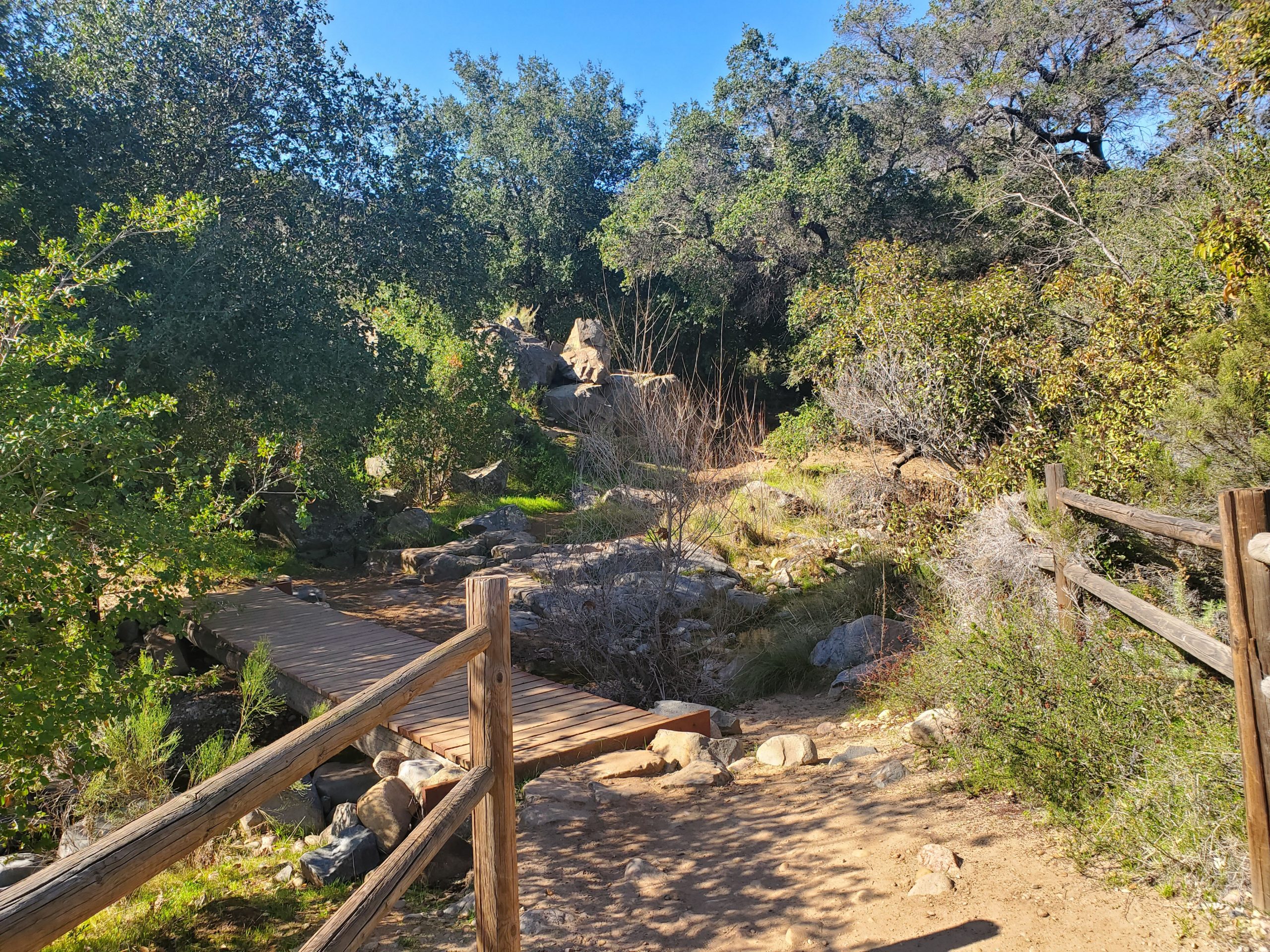
Oak Canyon Trail follows along a stream that runs into the San Diego River. There are several bridges crossing the stream.
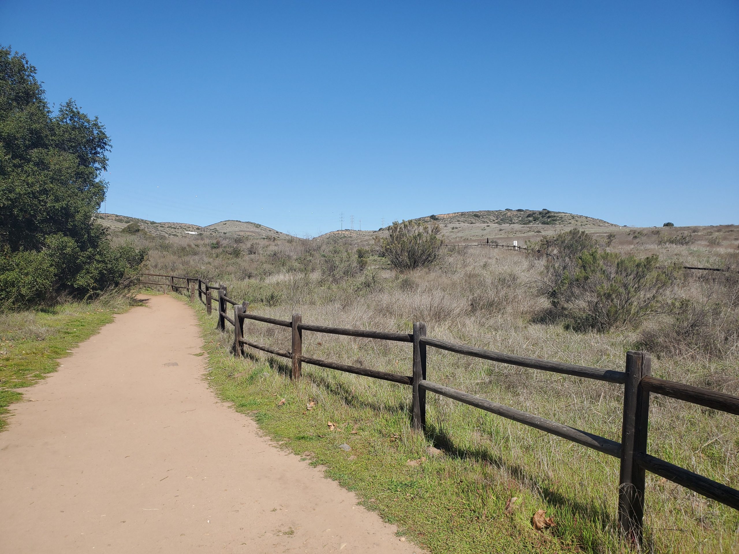
The trail running parallel to Oak Canyon, at a slightly higher level, is the Grasslands Trail. This is our recommended return route to make a loop hike. Oak Canyon Trail consistently bears to the left until you met Fortuna Saddle Trail at the 1.2 mile mark. The entire hike runs along the stream.
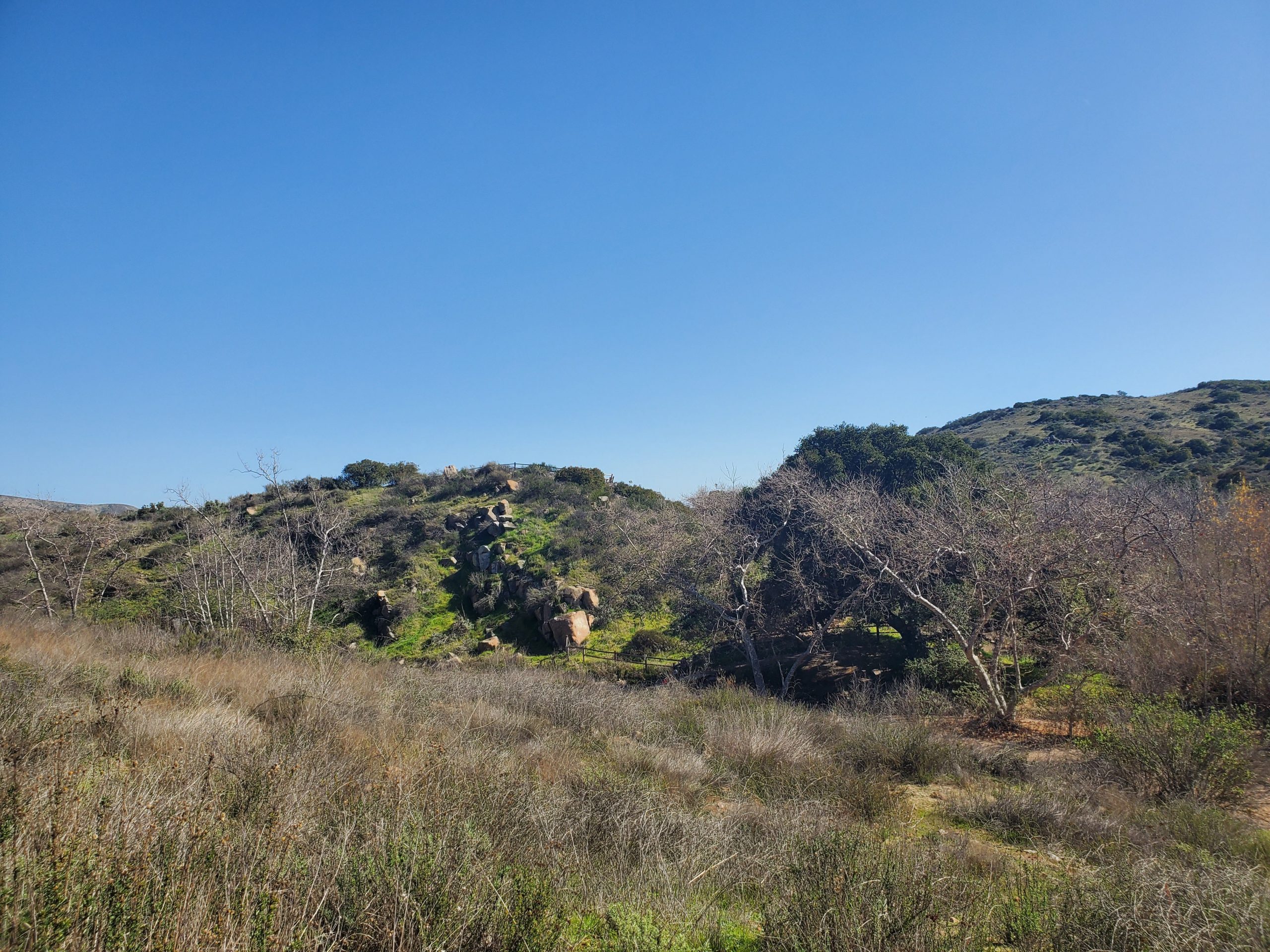
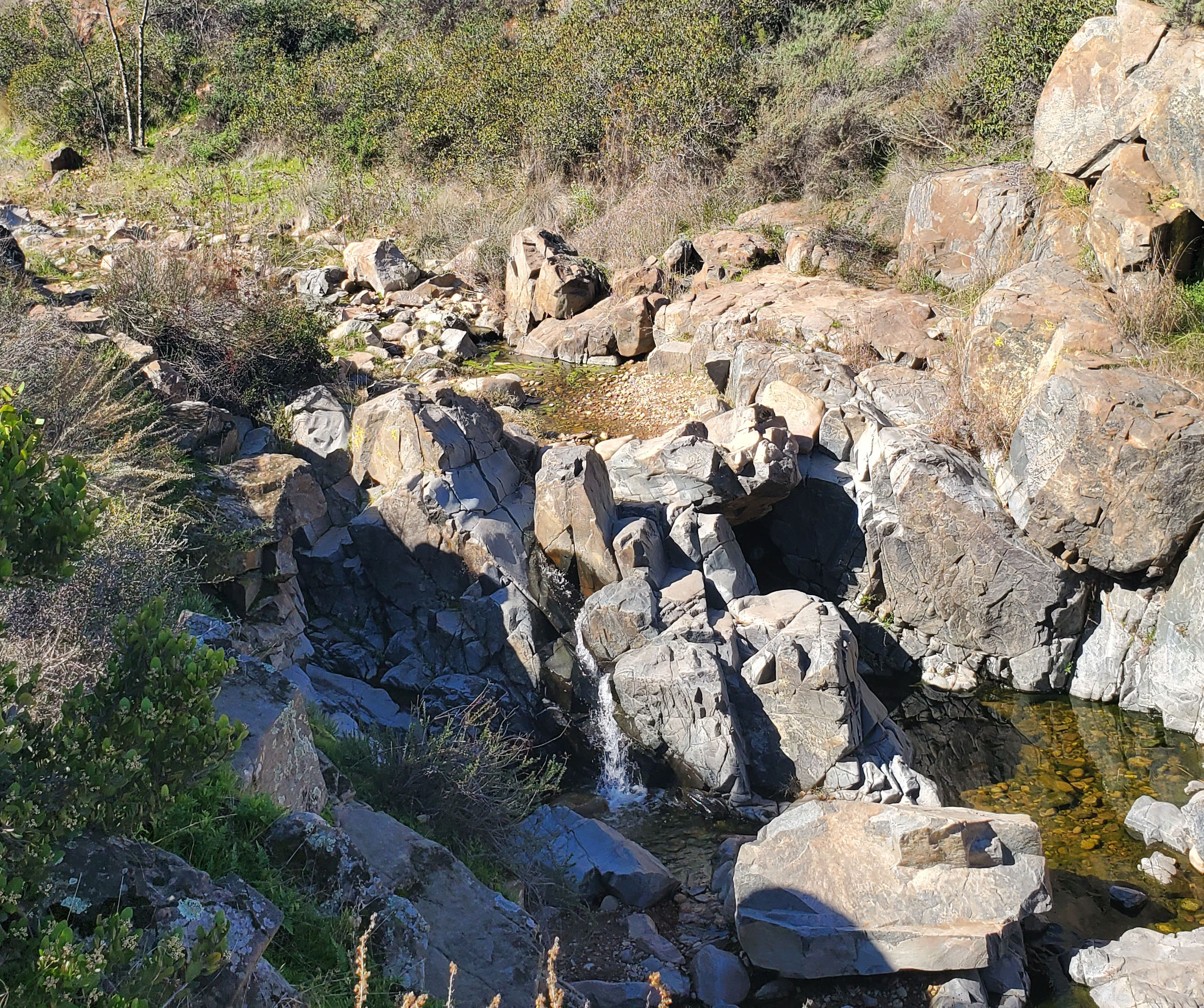
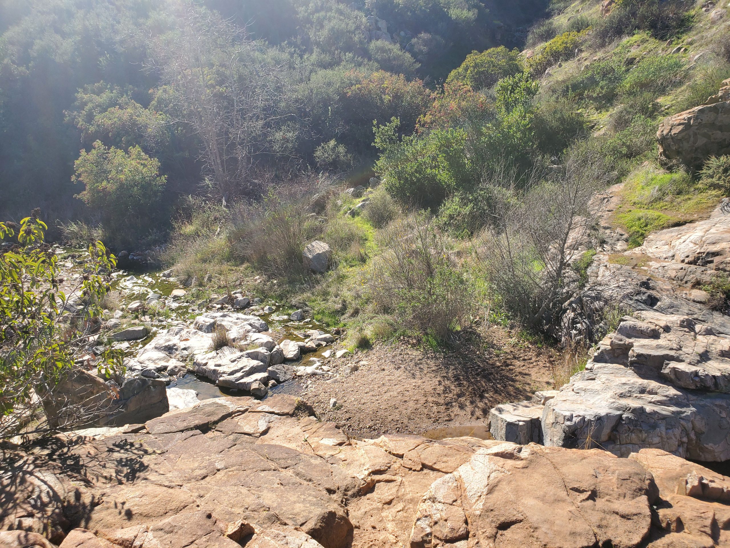
As you gradually climb up the trail you can see waterfalls. These modest waterfalls are very seasonal and depends on rain in the winter and spring. Our pictures are from January and February 2020 after some pretty solid rains.
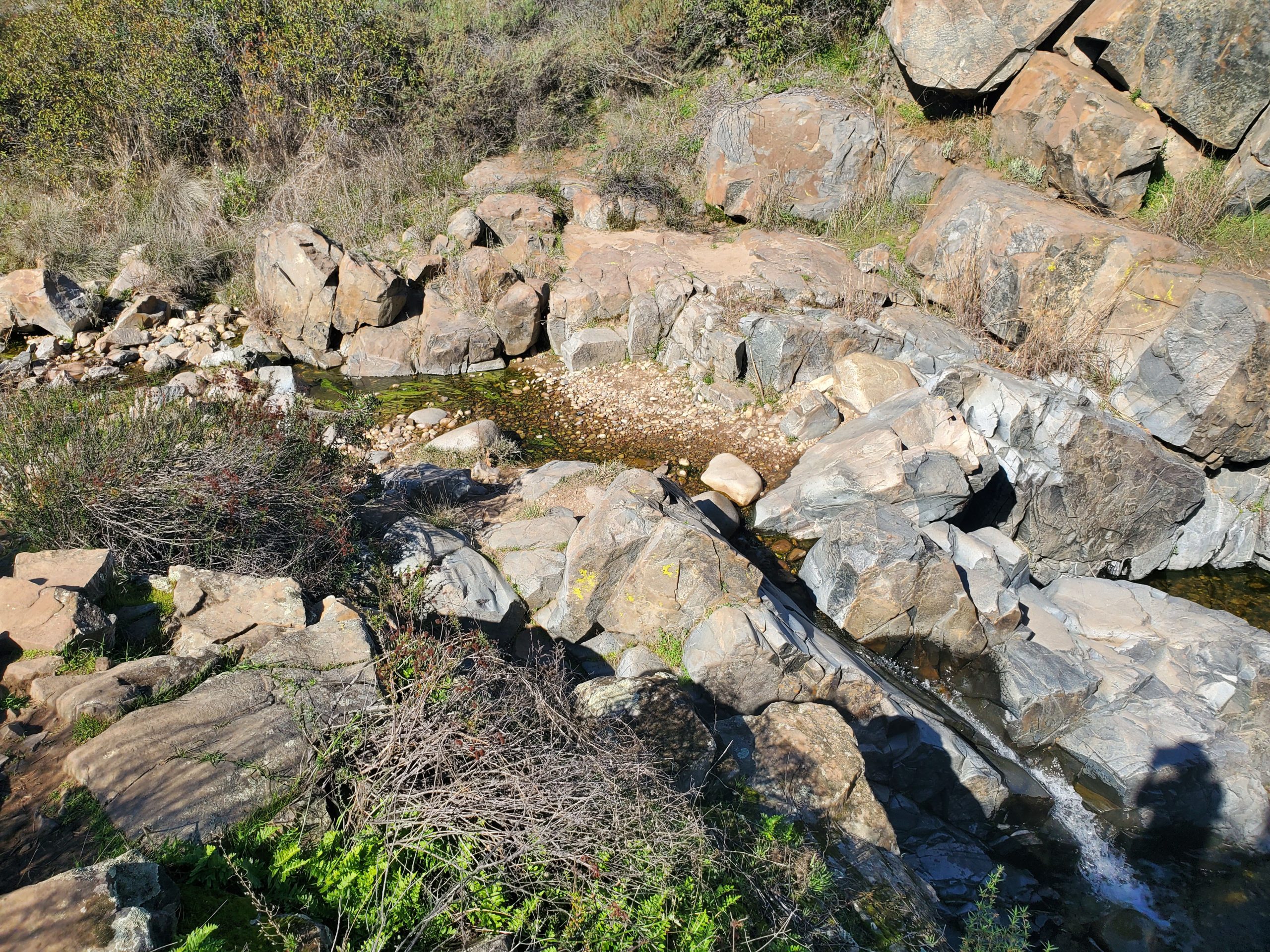
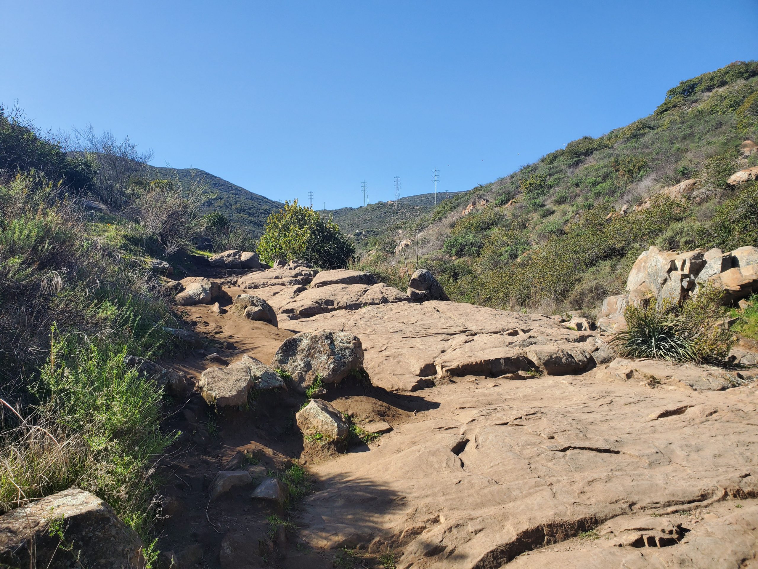
The trail gets fairly rocky at this point. It can be harder to follow, especially after a rain. However, the goal is to keep to follow the creek, generally on the left side.
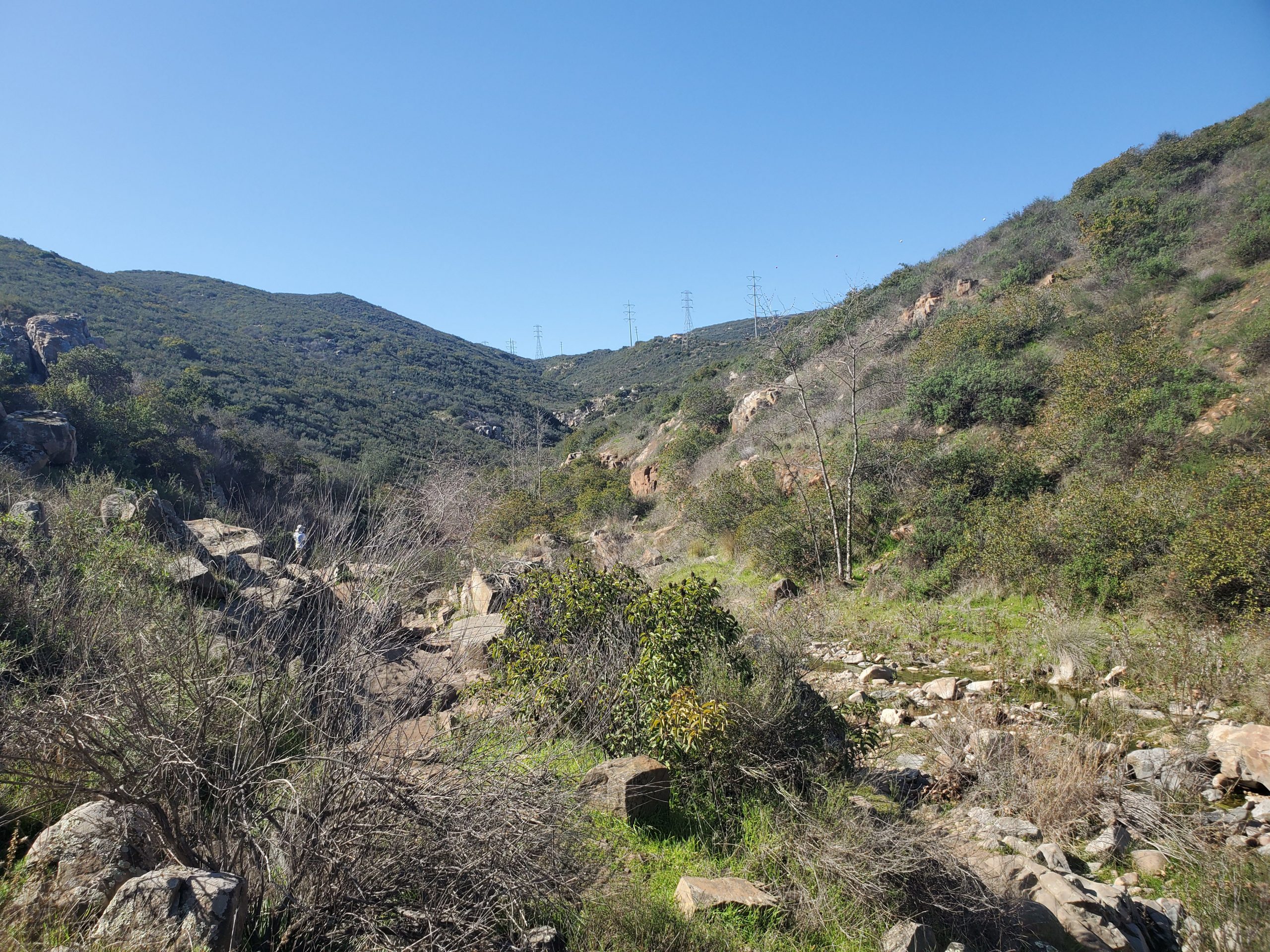
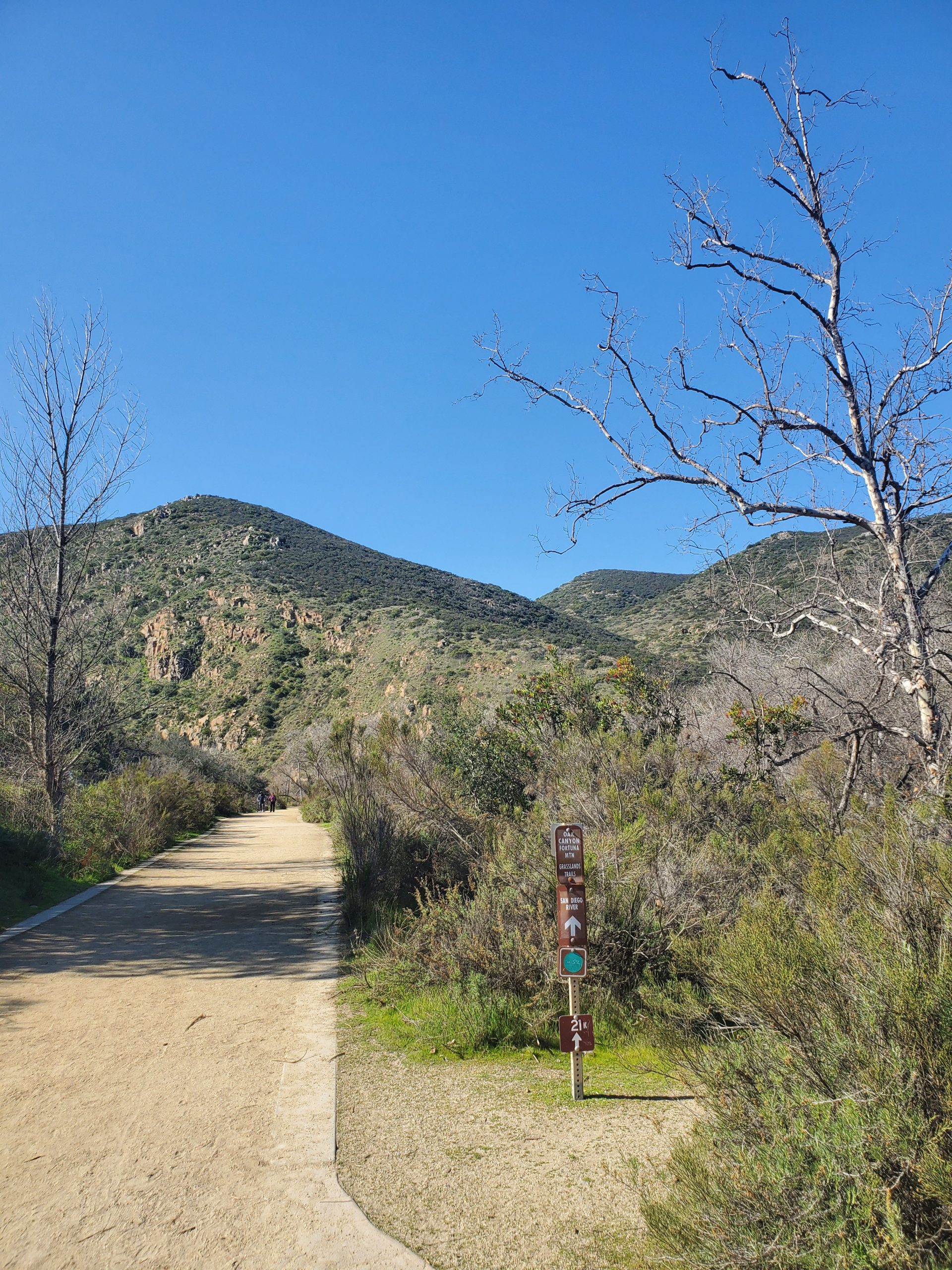
At the 1.2 mile mark Oak Canyon Trail meets up with the Fortuna Saddle Trail. This is directly under the power line that runs up to the Fortuna Saddle and down to the western edge of Mission Trails Park.
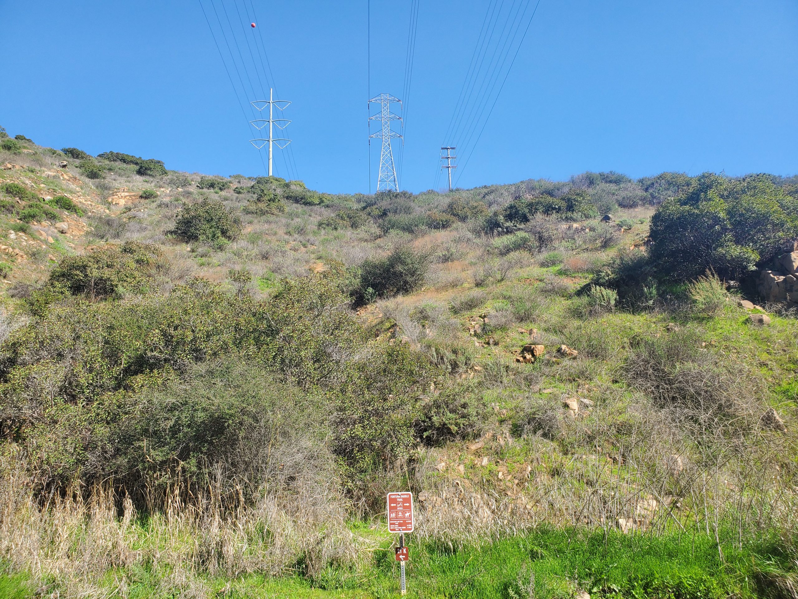
If you are tired this is a good point to turn around. To continue on Oak Canyon Trail, you want to turn right and head a short distance up Fortuna Saddle Trail.
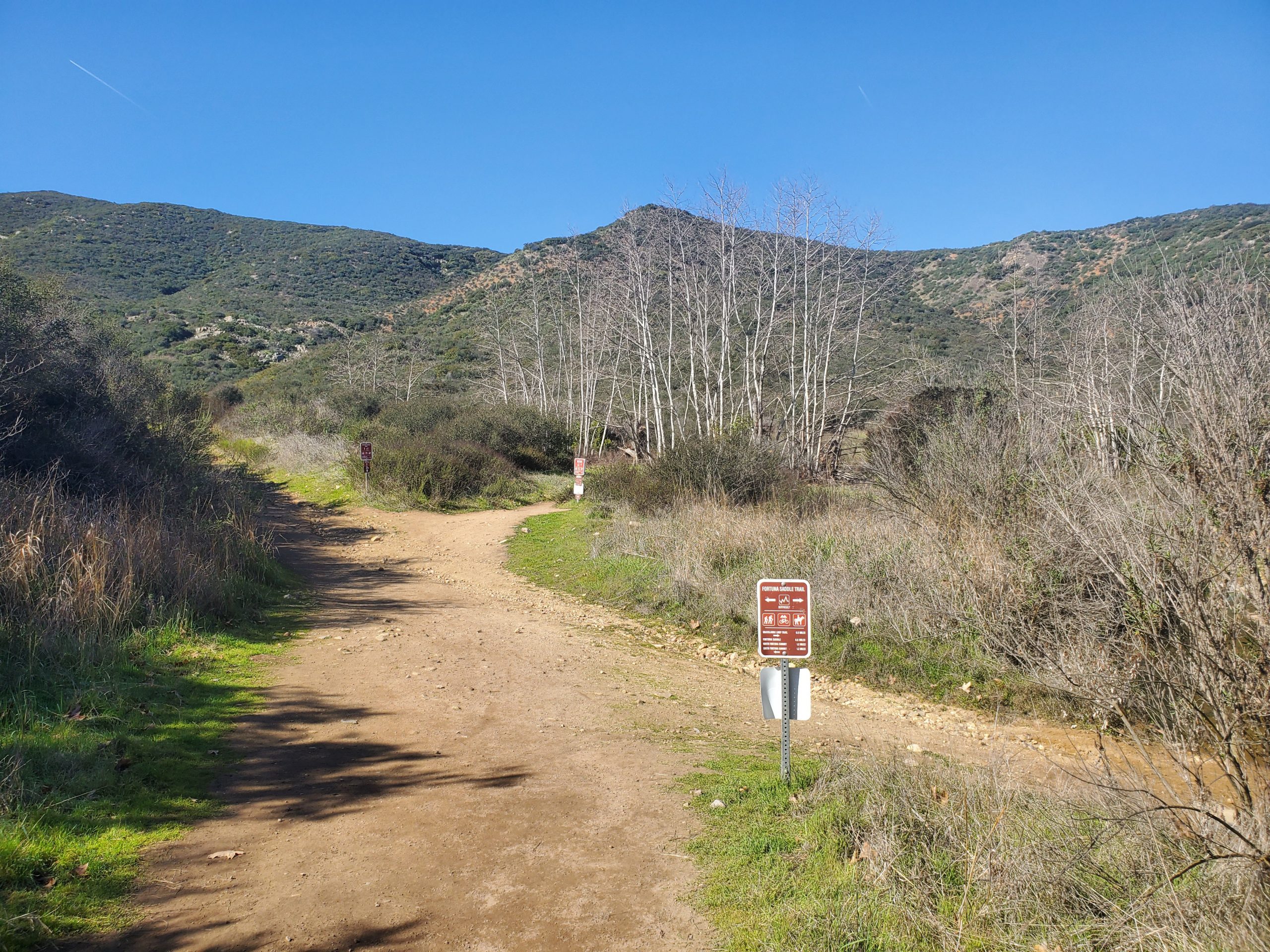
In less than a tenth of a mile Oak Canyon bears to the right heading north. Fortuna Saddle Trail heads up to the area between South Fortuna and North Fortuna mountains. This is part of the Mission Trails 5-Peak Challenge. You can see this hike up North Fortuna here.
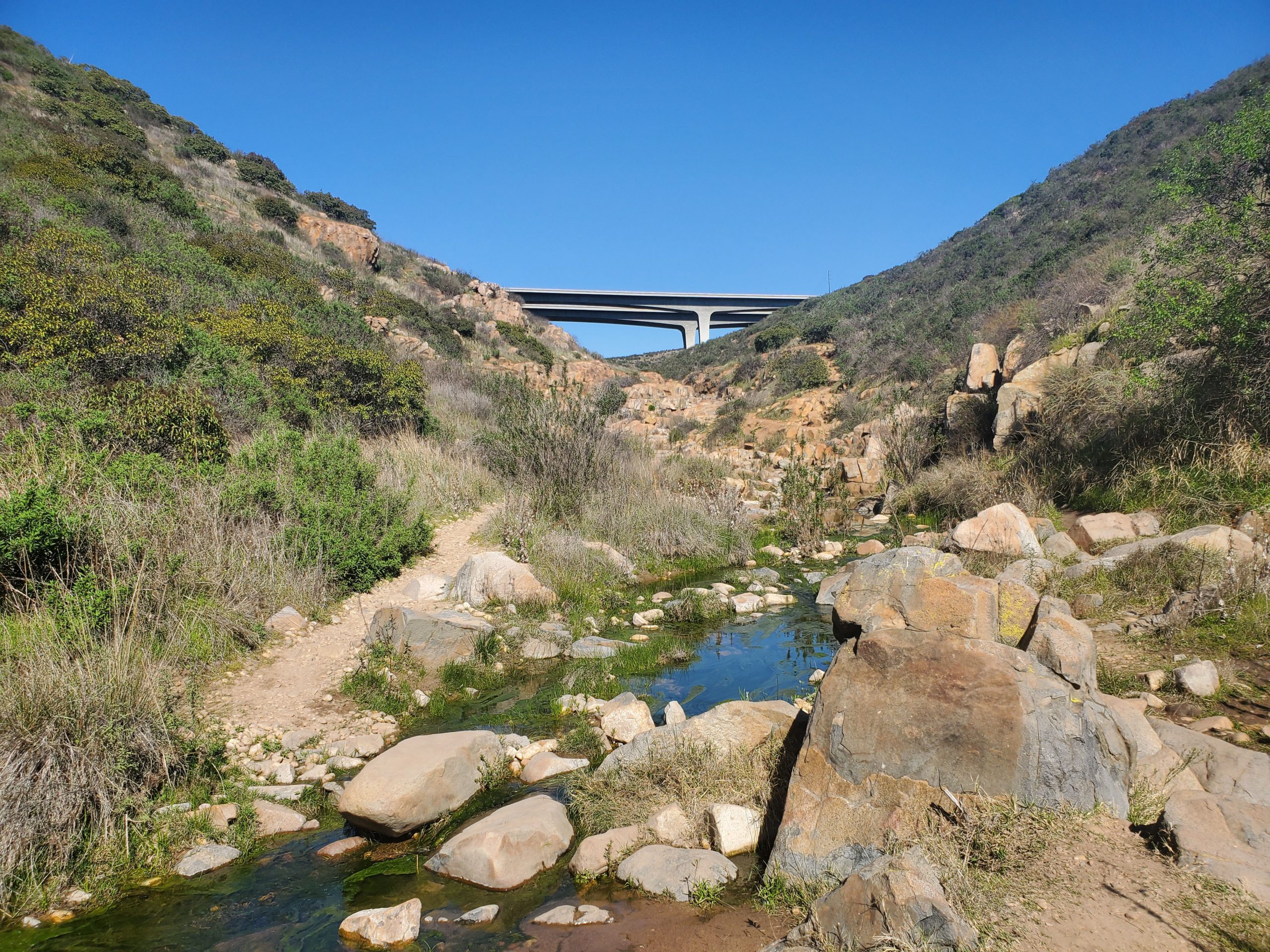
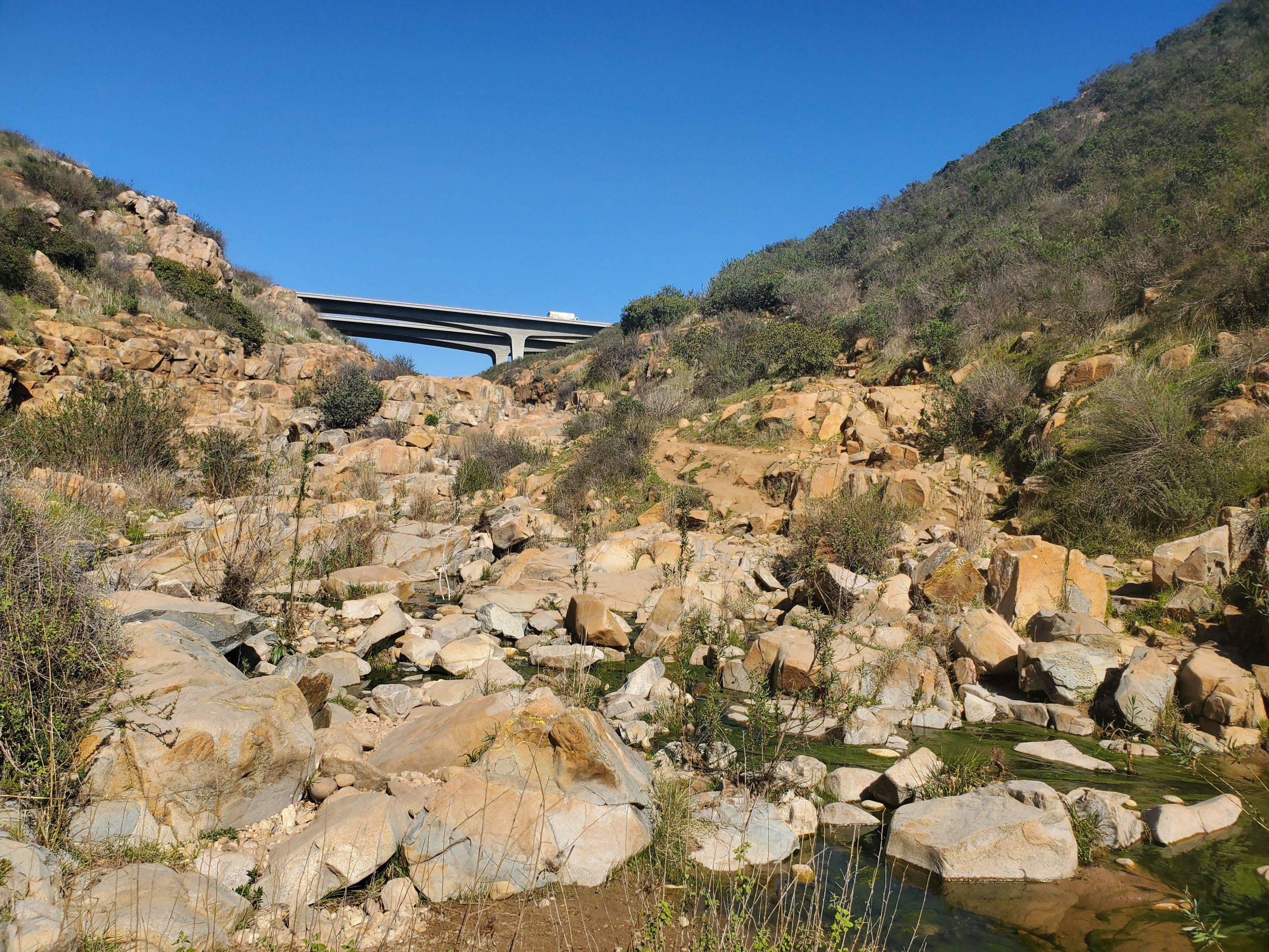
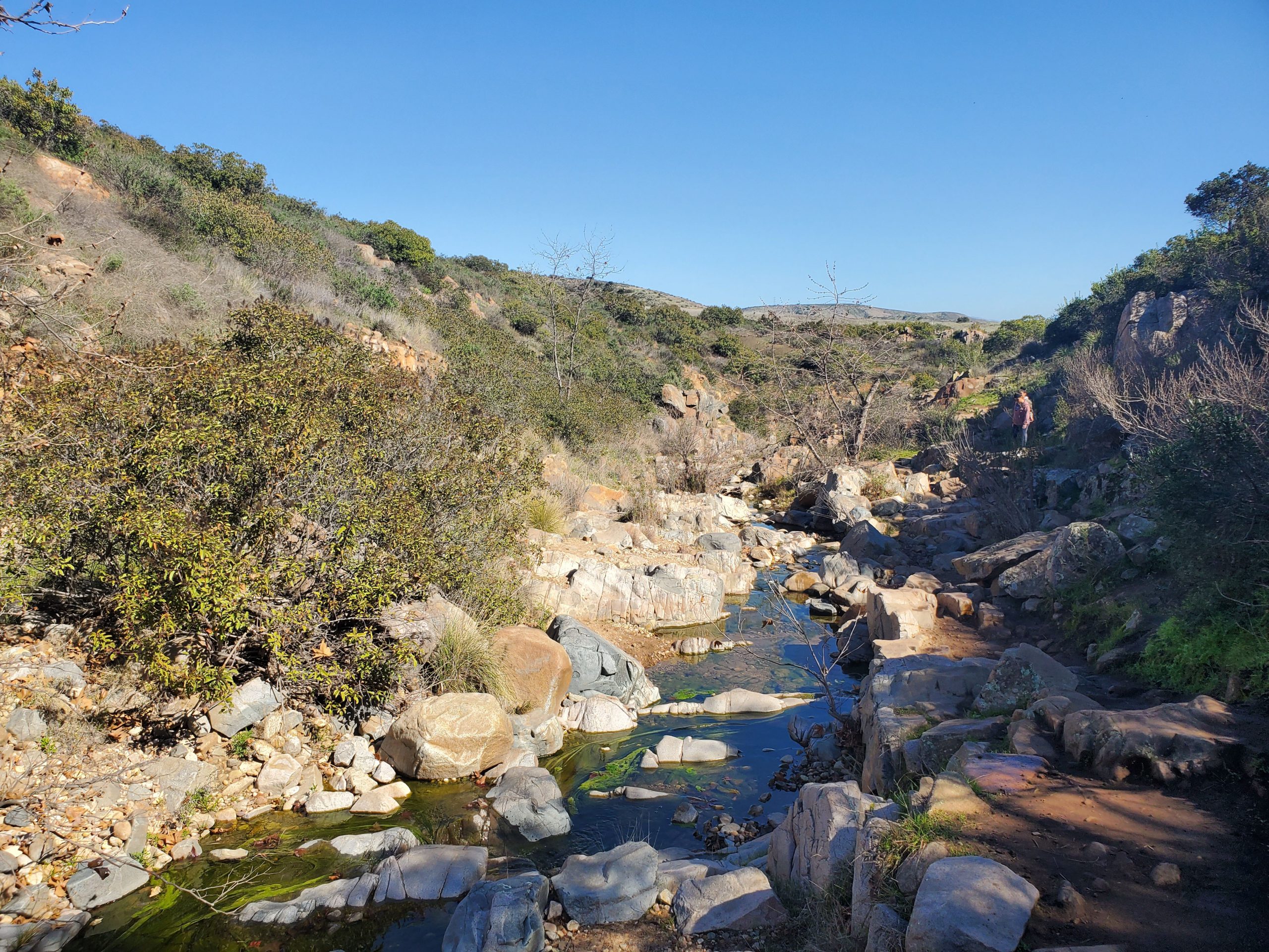
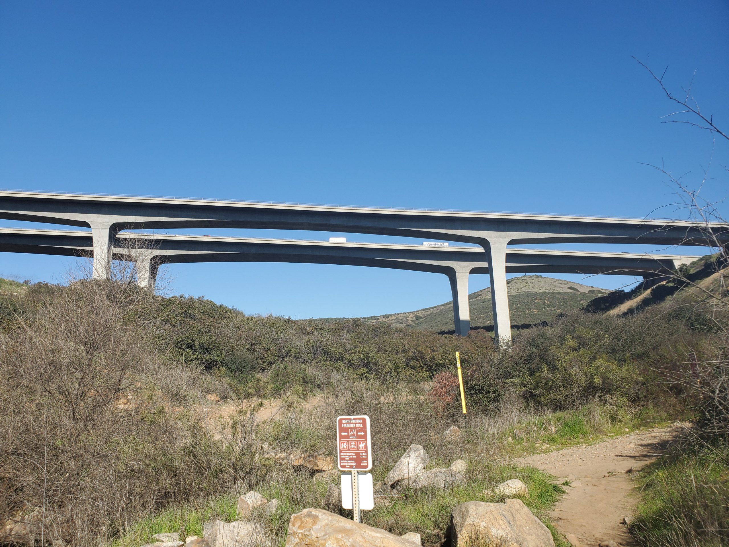
Oak Canyon Trails follows the creek up to the edge of Mission Trails Regional Park. The last part is some minor rock scrambling up the creek bed. The trail ends right under the bridge for the 52 freeway. This is the Perimeter Trail North.
At this point you can turn around and go back the way you came or do our suggested loop along Perimeter Trail. The loop is essentially the same distance but adds a little uphill at the start. The loop meets back up with Oak Canyon Trail at the north side of Old Mission Dam.
Be sure and check out our full guide to Mission Trails Regional Park.


4 Comments
Comments are closed.