San Diego Hikes: North Fortuna Mountain Mission Trails
Mission Trails Regional Park introduced the 5-Peak Challenge in 2015 in order to get hikers to explore more trails. North Fortuna mountain can be accessed from both the west and east end of the park. This is a guide to the many ways to hike North Fortuna.
Jump Ahead To
Overview
You can find full information on the 5-Peak Challenge at our full guide to Mission Trails Regional Park. Basically the 5-Peak Challenge was created because Cowles Mountain, the highest point in the city of San Diego, was too crowded. The idea was to get hikers climbing the four other mountains in the park.
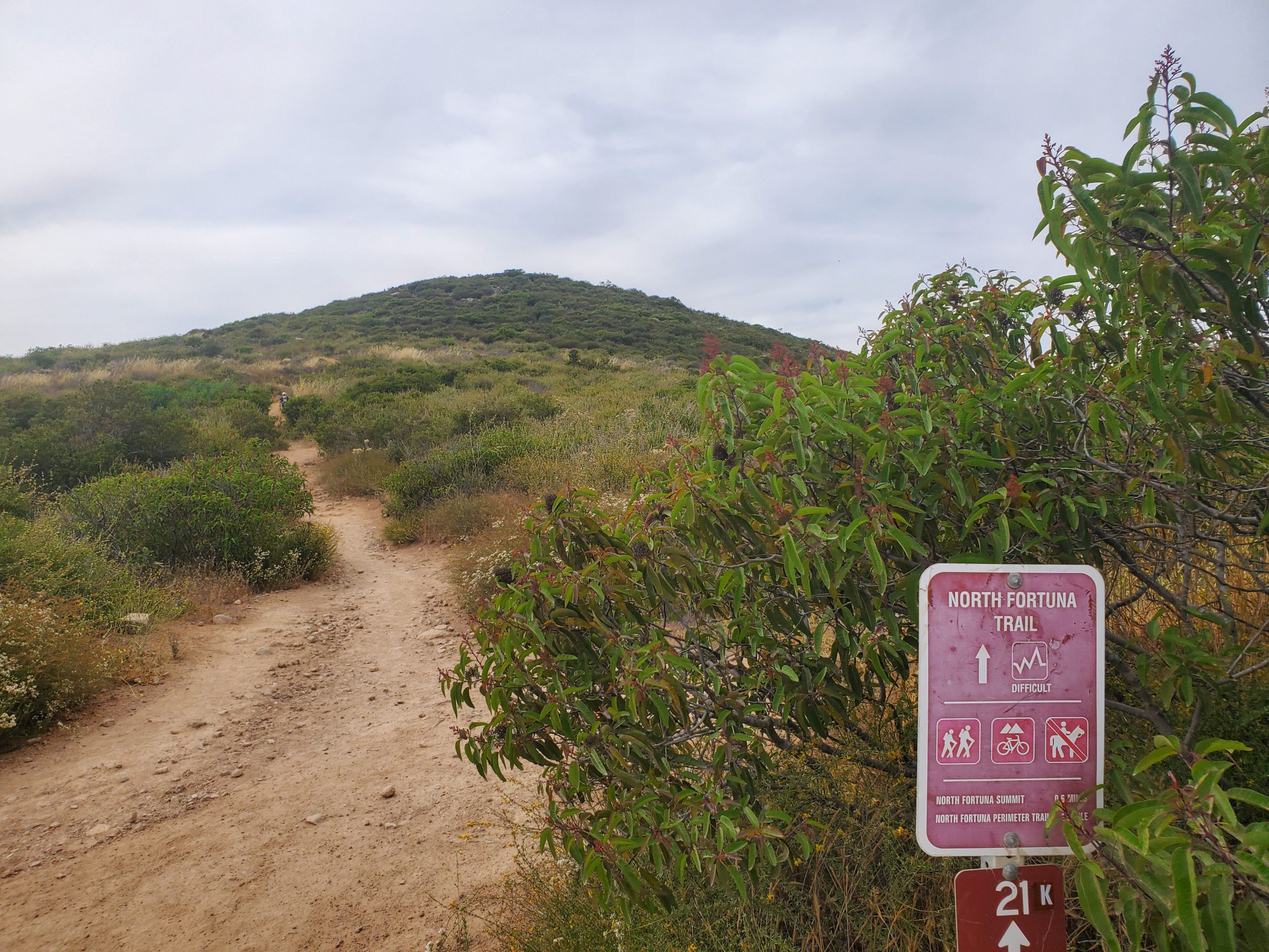
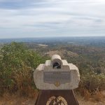
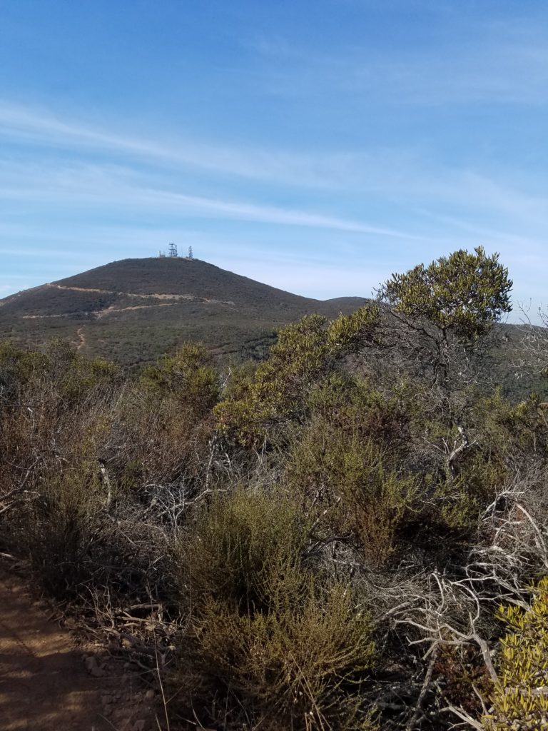
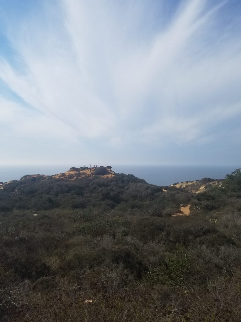
At 1,291 feet, North Fortuna is number three in elevation. However, it is a longer hike than Cowles Mountain. There are multiple starting points for North Fortuna, but any hike up the mountain will be at least 5 miles.
Hikes up North Fortuna can start on either the east or west end of Mission Trails Regional Park. These areas are not far apart as the crow flies but are a 15-minute drive by car.
Hikes from Mission Trails West End
The western starting points for North Fortuna are in the suburban community of Tierrasanta. There are several access points, with the main one being the West Fortuna Staging Area.
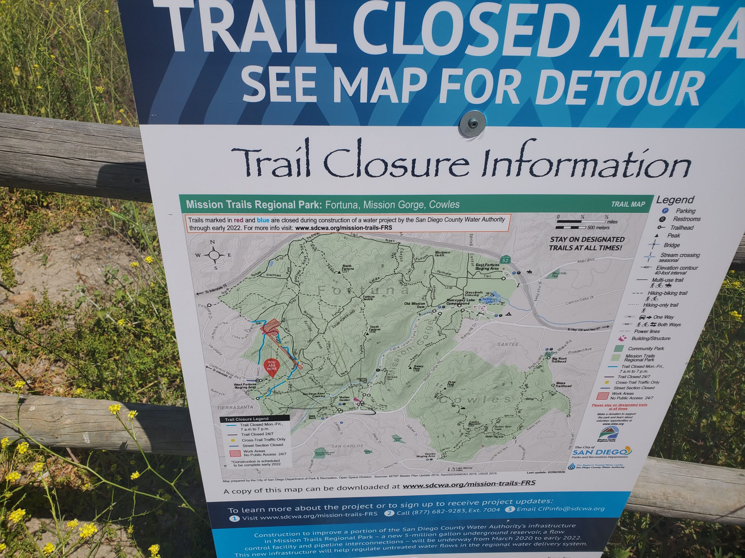
It should be noted that there is significant construction activity going on in this area until winter 2022. This involves work on water pipelines which may lead to some trail closure. You can see the current state of construction here. The full trail map is available here.
We will be adding trails as we go, but our first routes up North Fortuna will be on the east side of Mission Trails.
If you want to hike from the west end you can see our guide to hiking South Fortuna. In this case you would turn left at Fortuna Saddle junction. This goes directly up the mountain on the North Fortuna trail. Turning right goes up South Fortuna.
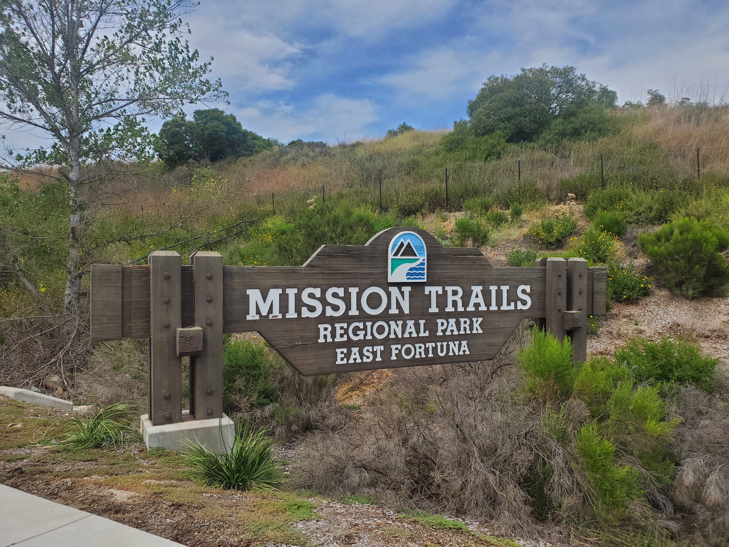
Hikes from Mission Trails East End
East Mission Trails has several access points. The suggested route for the 5-Peak challenge starts at East Fortuna Staging Area. East Fortuna has a large parking lot, restroom and picnic facilities.
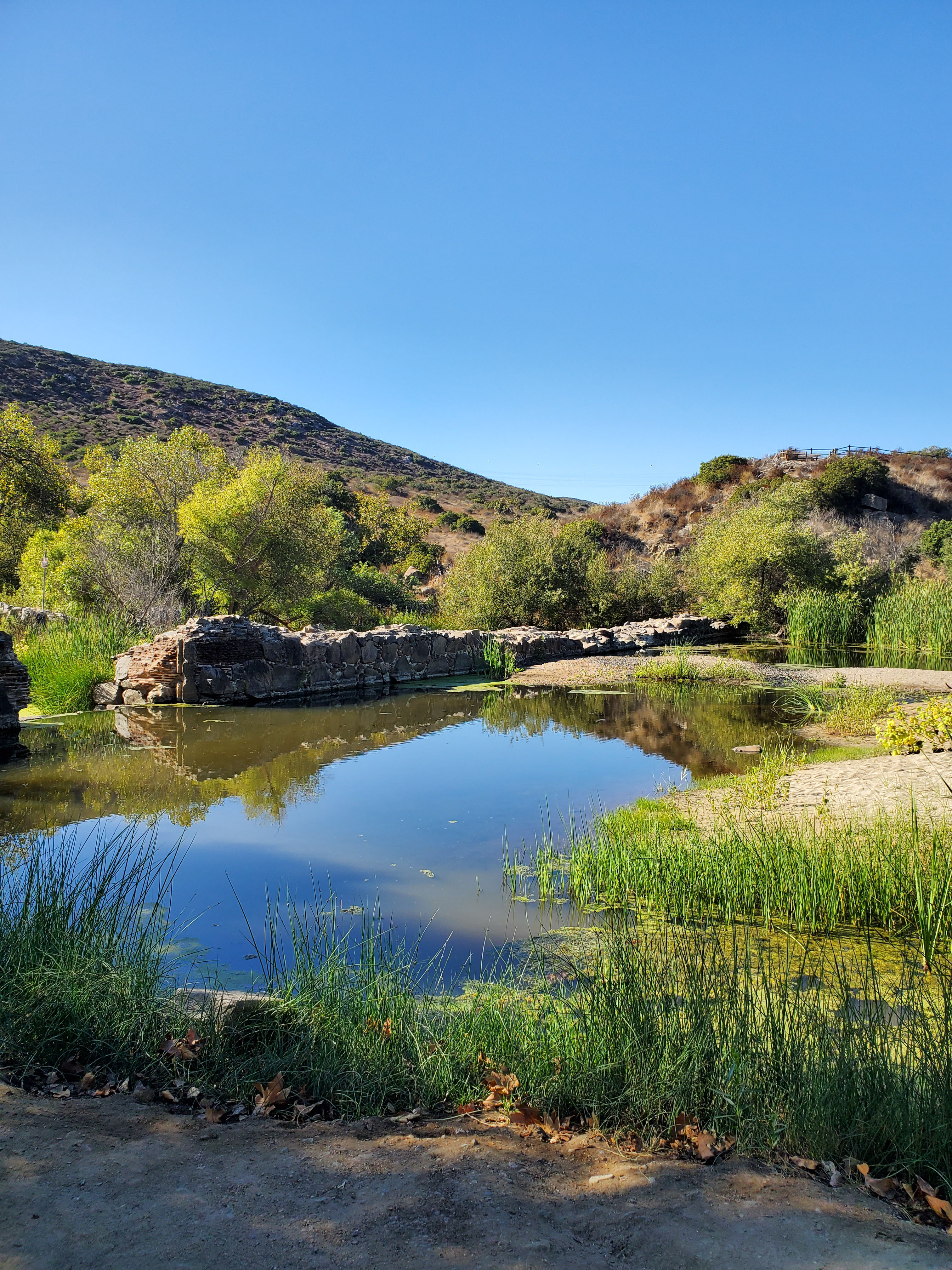
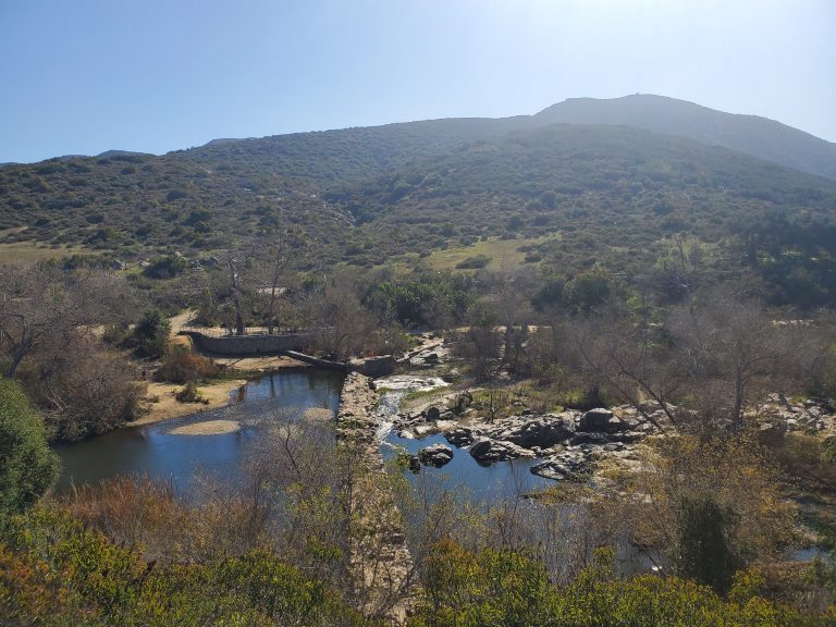
There are also several options to hike North Fortuna starting along Father Junipero Serra Trail. There is plenty of parking along the side of the road near either Kumeyaay Lake Campground or Old Mission Dam.
Starting from Grasslands Crossing by the campground you can follow Grassland Loop to Oak Canyon Trail where it meets up with the “suggested route.”
If starting at Old Mission Dam, follow the Oak Canyon Trail until it reaches a 3-way split at Fortuna Saddle Trail at about 1.2 miles. From Fortuna Saddle you climb up the mountain along the suggested route.
Suggested Route
The suggested route for the 5-Peak Challenge starts at East Fortuna Staging Area. This is a 3-mile out-and-back hike. However, you can make this hike a loop by going down the other side of the mountain.
We have a guide to hiking the loop. However, we will note that the loop is significantly more challenging. The loop route runs along the Perimeter Trail that parallels Highway 52. This trail has many up and down sections. The down sections can be quite steep and hazardous.
To see the suggested route go here.
For the suggested route with the loop option along the Perimeter Trail go here.
Go here for our full guide to all the hiking opportunities in Mission Trails Regional Park.
3 Comments
Comments are closed.