San Diego Hikes: Hiking in San Diego’s Black Mountain Open Space Park
Welcome to our series San Diego Hikes. When it comes to hiking with a view in the city of San Diego it is hard to beat Black Mountain Open Space Park in the Rancho Penasquitos area. Because this park is right next to our house we have frequented the hiking trails for years. This is our introduction guide to visiting and hiking in San Diego’s Black Mountain Open Space Park.
Jump Ahead To
Overview
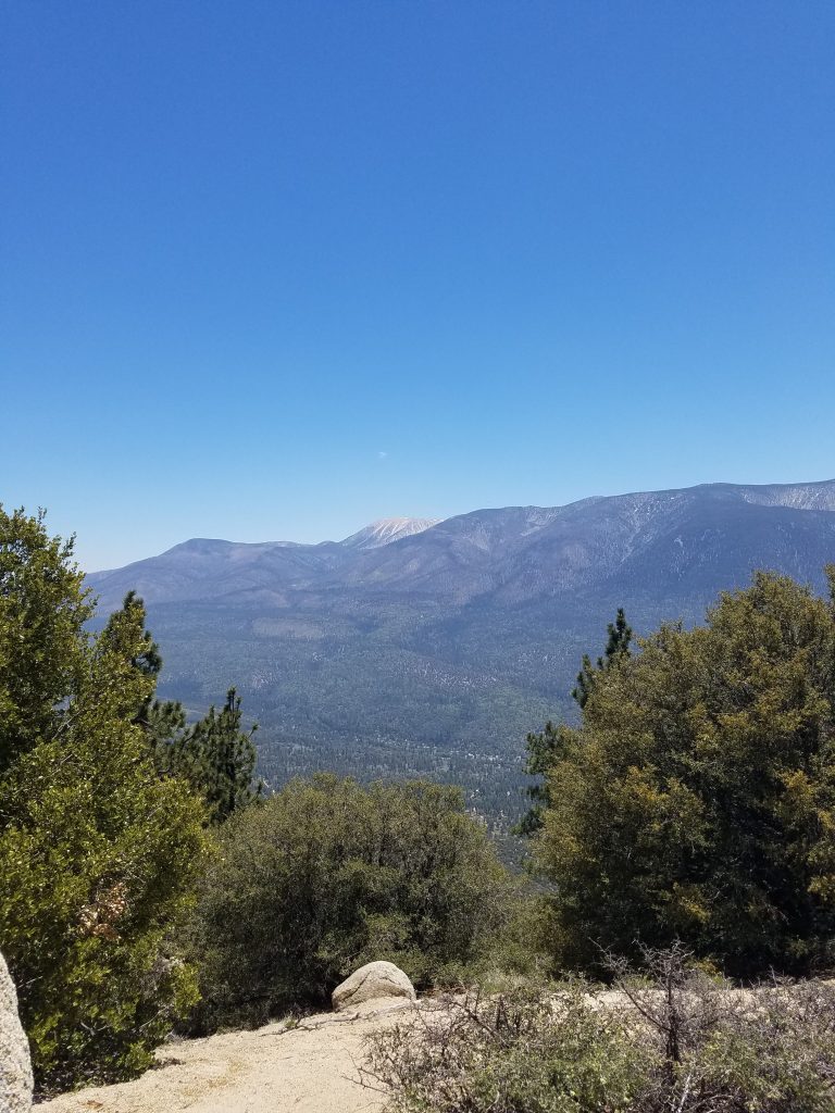
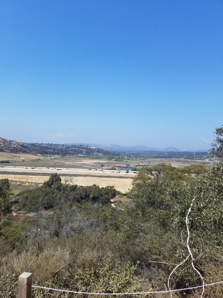
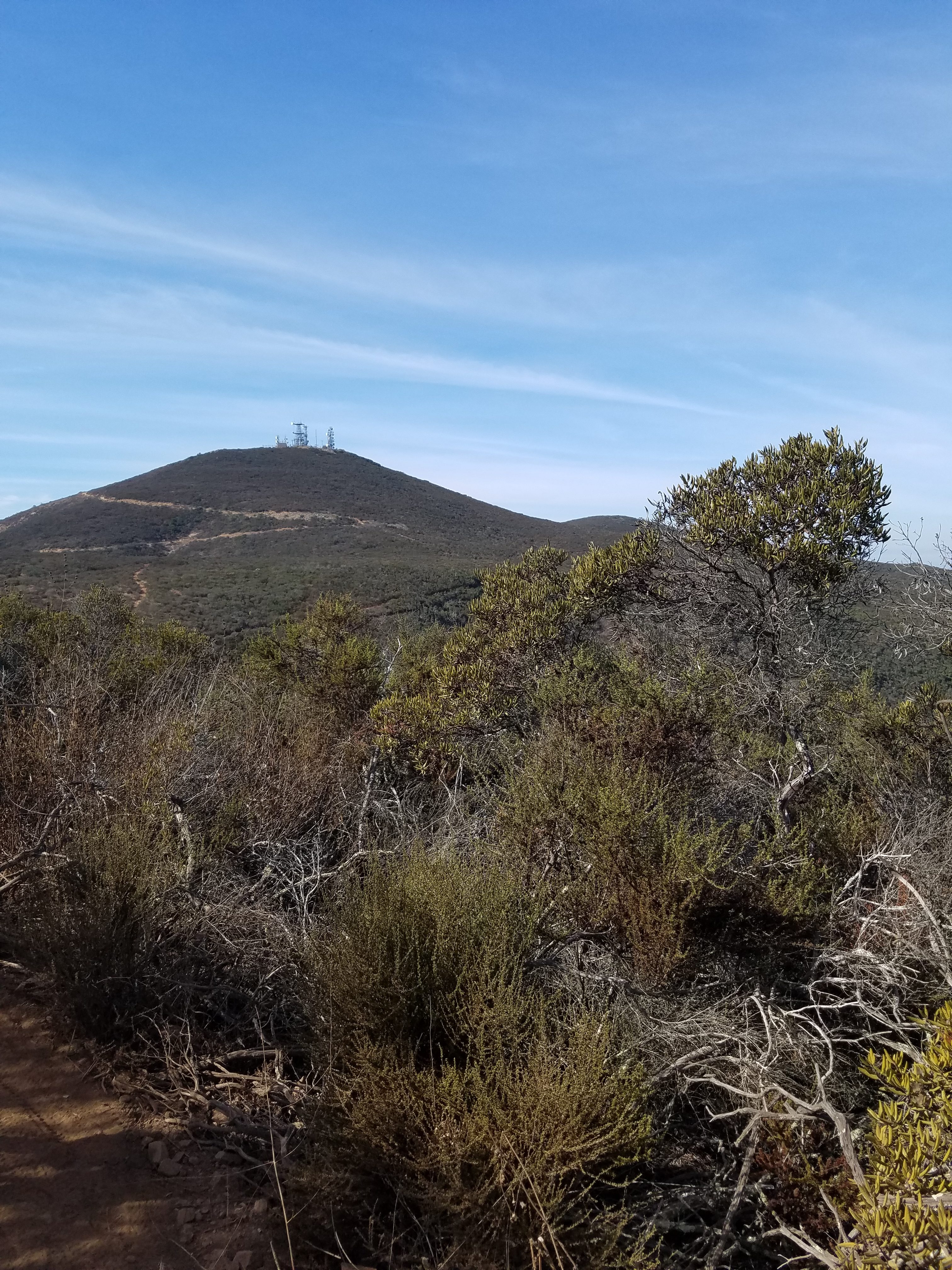
At 1,554 ft Black Mountain is the second highest point in the city of San Diego (Cowles Mountain at 1,593 ft is the highest). The elevation does not sound that high but remember this is starting 5 miles inland from the coast. On a clear day, the views stretch to Mexico in the south and the often snow-capped mountains in the north and east.
Black Mountain Open Space Park is owned by the city of San Diego and operated by its Parks and Recreation department. The park is currently about 2,300 acres but according to a ranger, they recently acquired more space from a developer. This is a fairly new and evolving area that was created as development started to surround the mountain.
Members of the Cole Family have been hiking the area since the 1970s and it is only in recent years that defined hiking trails have been created. Past trails tended to follow the ridgelines of the mountain. Now more formal trails are currently being carved out, and this area continues to evolve. Our plan is to update new trails as they are added.
History of Black Mountain
Black Mountain is located right next to the I-15 freeway. The I-15 freeway runs from Mexico to Canada via Nevada Utah, Idaho and Montana. Itwas built in the late 1950s and helped allow San Diego (and much of the inland West) to expand its northeastern boundaries. A large part of the population boom in the city of San Diego has been around this area. The goal of Black Mountain Open Space Park is to keep some areas free from development and open for public recreation.
The first housing developments around Black Mountain were on the southeast side in the 1970s. This was the start of what became the Rancho Penasquitos neighborhood. In the 1980s, Rancho Penasquitos expanded to the southwest side of the mountain as the population of the neighborhood grew to about 60,000. For many years the north half of the mountain was undeveloped for miles. This has changed in the 2000s as the communities of 4S Ranch and Santaluz have emerged. Currently development is underway of large homes at the foot of the north side of the mountain. Thankfully, it appears plans to develop high up on the ridge have been canceled and the city will be able to incorporate more land into Black Mountain Open Space Park.
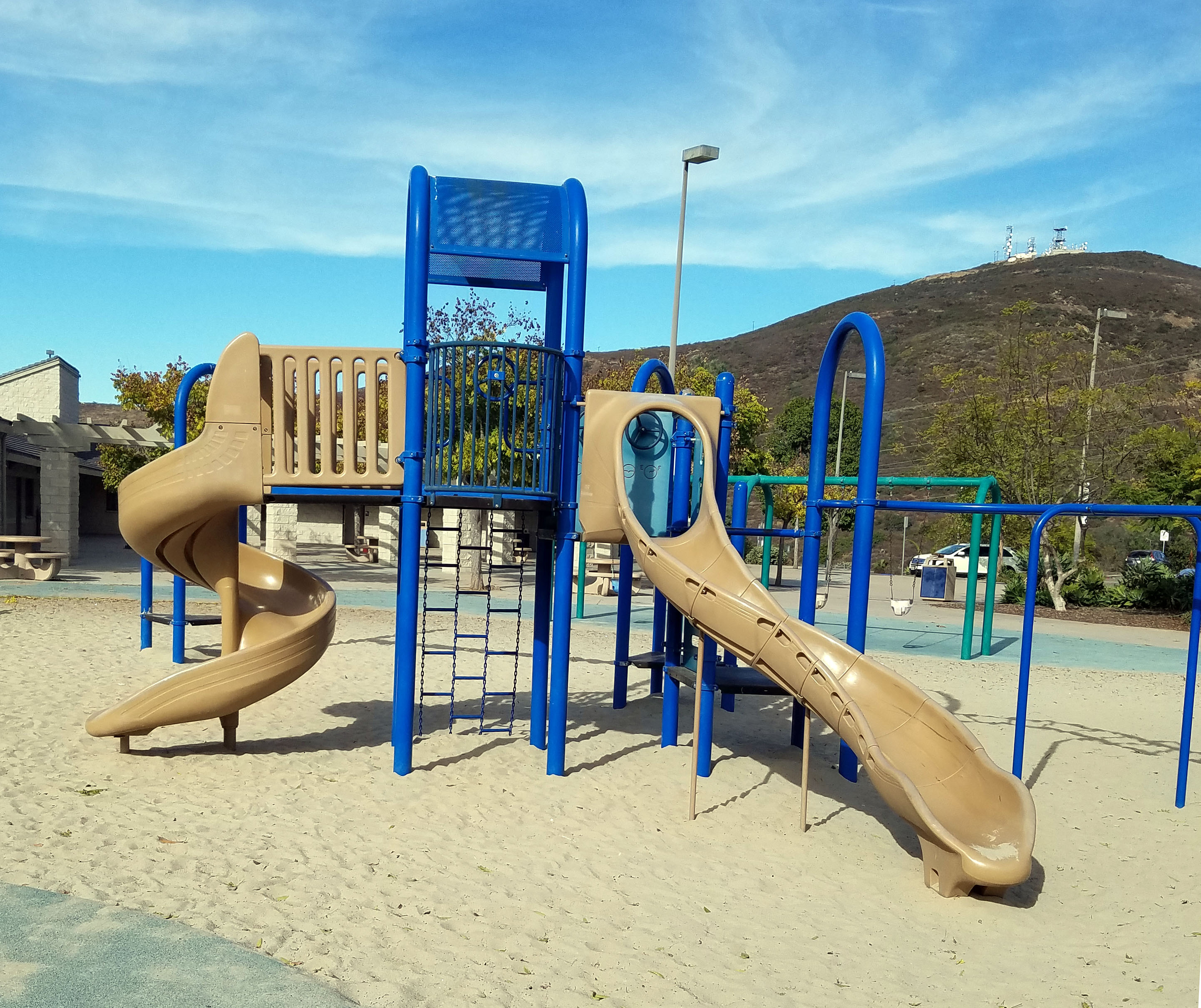
The good news is that Black Mountain proper now seems like it will be spared future development with the establishment of the park system. Even better, from our practical standpoint, this area provides great recreation opportunities. Our focus is on hiking but we should also note that most trails are also suited for mountain biking. There are even several bike repair stations setup on the trail system. There is also paragliding off the mountain. For those just looking to enjoy the views, there are some nice picnic spots with playgrounds for the kids.
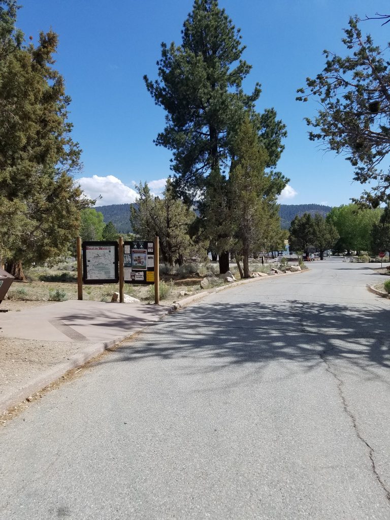
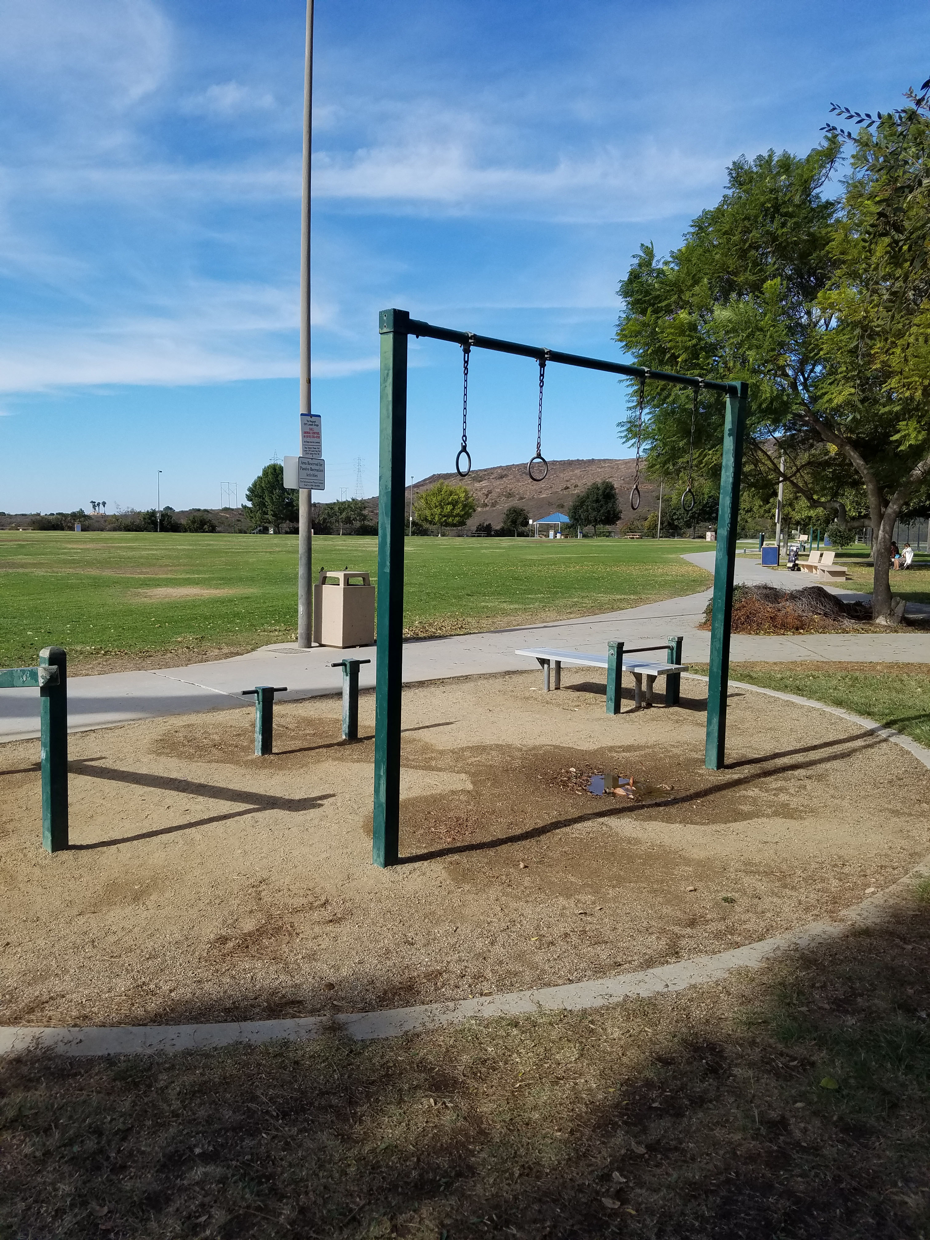
Many of the hikes, including the hike to the summit, start at Hilltop Park. We watched Hilltop Park as it was built on a flat mesa on the side of the mountain in the late 1990s. Since that time, it has become a favorite for all sorts of events. The park has two playgrounds, an indoor center, basketball courts and a field circled by a track with a fitness circuit. There are several covered gazebos that can be reserved for picnic but you can also just throw down a blanket. For more information see the official website.
Hikes from Hilltop Park
The hiking from Hilltop Park covers all ranges of abilities. In many cases, younger children have stayed behind to play in the park. This is a great place for a hiking/picnic. Overall we suggest several hikes from the park:
- Mild Intro Hike: For those wanting to get a taste of the mountain trails without too much hiking we have our 1.2 mile loop that goes to the split off for Little Black Mountain Loop and Nighthawk trail.
- Top of Black Mountain Hike: Hiking to the top of the mountain is best done using our guide to Nighthawk trail.
- Little Black Mountain and side trails: For hiking on the southeast side of the mountain we recommend our Little Black Loop Trail hike which can includes a couple spin off loops.
- Full Black Mountain Workout: For those really looking for an exercise we have combined multiple trails for a major Black Mountain workout.
Black Mountain Open Space beyond Hilltop
As mentioned, the north side of Black Mountain has only seen development in recent years. For many years, a dirt road led to the Miner’s Ridge Loop trail and the paraglider area. Now these areas can also be reached by Carmel Valley Road. The relatively new Black Mountain Community Park with baseball fields leads to the massive, and evolving Lusardi Creek Loop trail. Hikes in this area include:
- Miners Ridge Loop Trail: This popular trail was closed in January 2017 due to high arsenic levels. It reopened in mid-2018. The mine refers to the fact that there was an arsenic mine here back in the 1920s.
- Jas Arnold Trail For the People: This is a short flat loop (less one quarter mile) at the base of Miner’s Ridge Loop Trail.
- Glider Point Trail to the Mountaintop: This short trail is used by paragliders. It heads up to Miner’s Ridge Loop Trail.
- Lusardi Creek Loop Trail: This fairly new trail is a beastly 9+ mile loop that is probably best-suited for mountain biking.
- Lilac Canyon Trail: This new 1-mile trail connects the parking lot at Miner’s Ridge Loop Trail to Glider Point Trail
- Ahwee Trail: This new short trail connects the Glider Point Parking lot to Lusardi Creek Loop Trail
- Climbing Black Mountain from the North: The 6-mile hike goes from Glider Point Trail to Miner’s Ridge Loop. You had to the top of Black Mountain and head back to Miner’s Ridge Loop. Lilac Canyon Trail is used to get back to the start.
- Climbing Black Mountain on the Service Trail: This 4-mile hike is the oldest, and easiest way up the mountain. It follows along the service road vehicles take to get to the top of the mountain.
On a final note, this is a very popular area for mountain biking. Most of these trails are also open to mountain bikes.
Fun Diego Family 360: View From the Top of Black Mountain